
Search for another town

Free U.S. delivery 7 to 10 days after you order
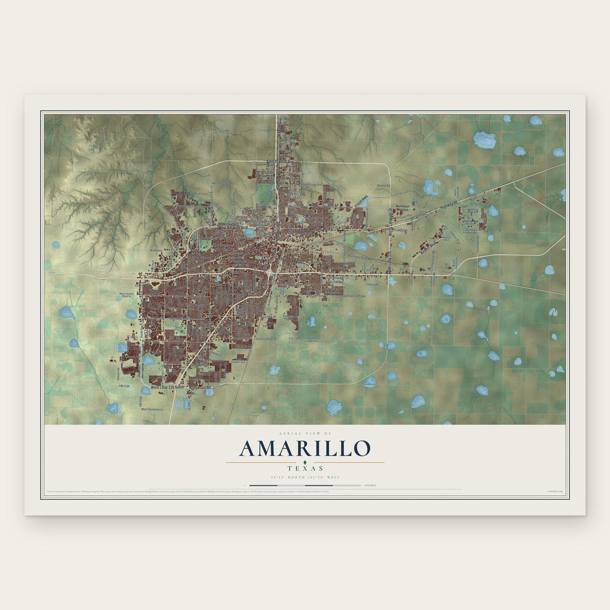
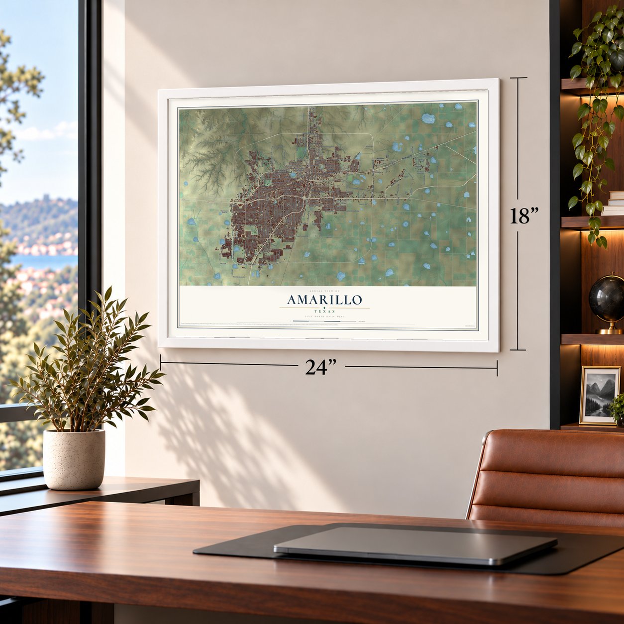
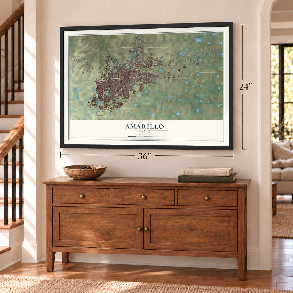
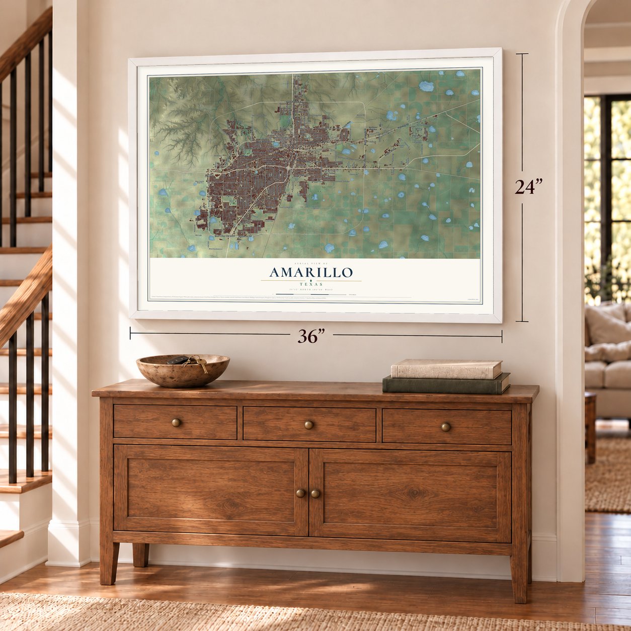
Amarillo, Texas Map Art
Building by building, with labeled streets and shaded relief.
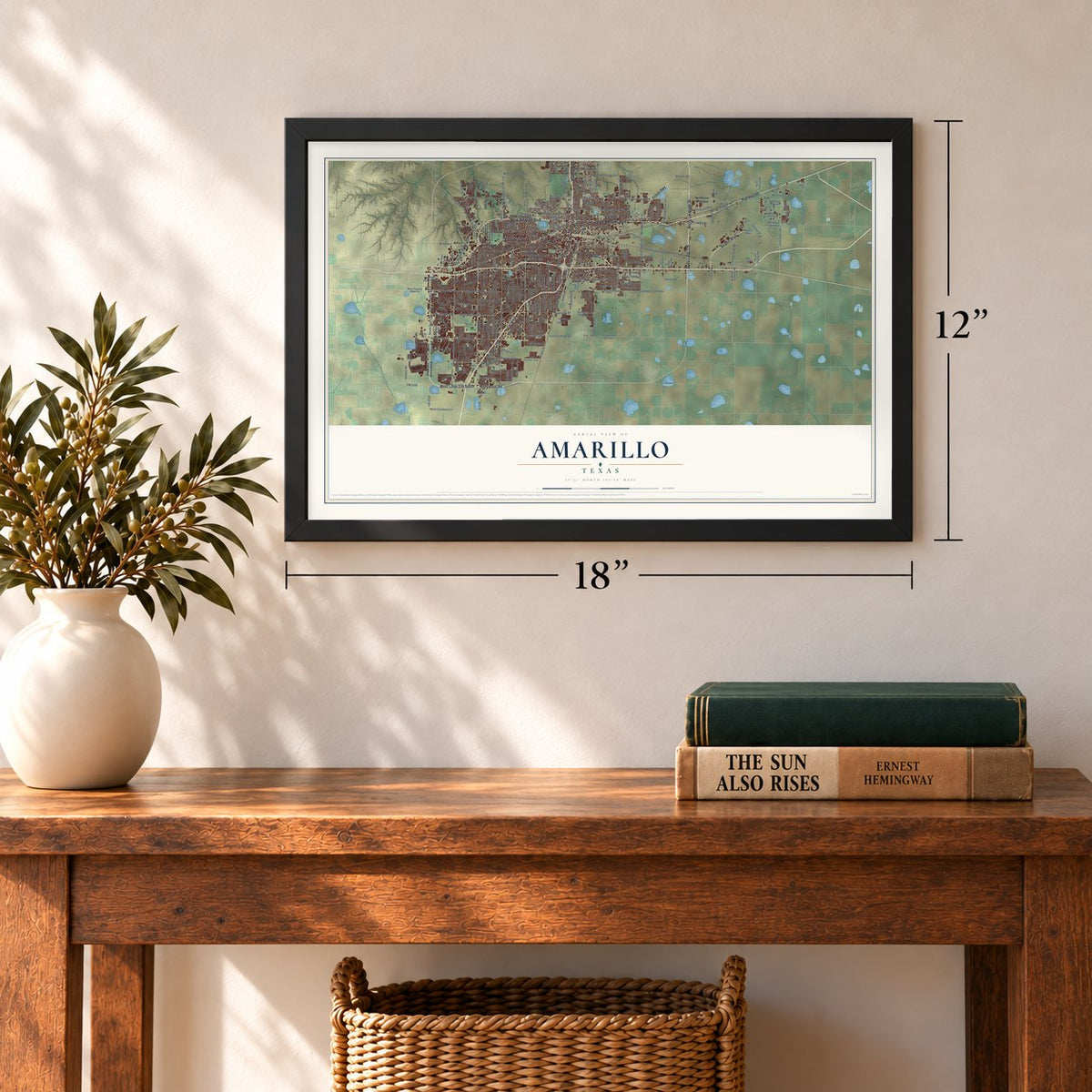
12" x 18" Archival Matte Print
A Map of Home. A Work of Art.
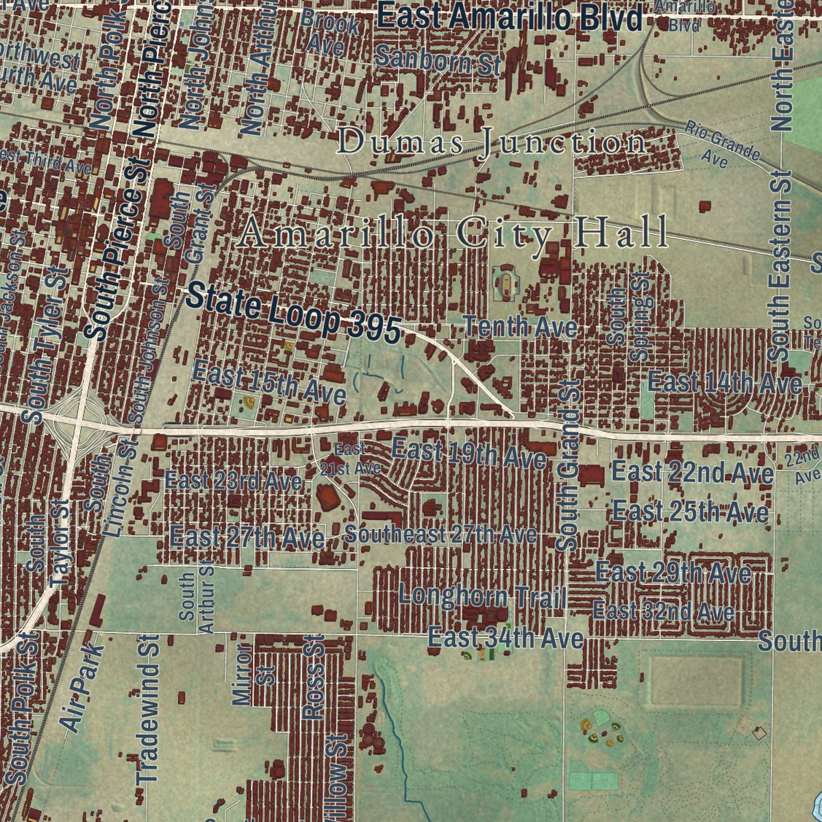
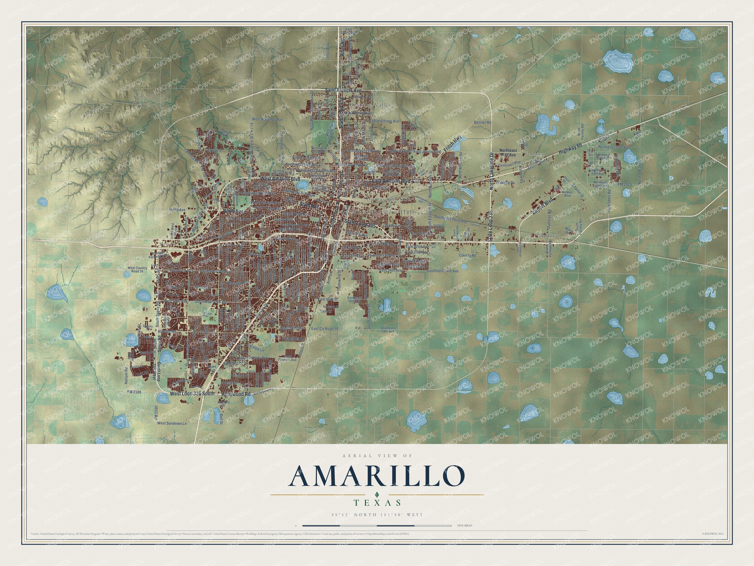
Explore Amarillo, Texas from a whole new perspective. Created using aerial imagery and detailed geographic data, this map captures Amarillo building by building, with labeled streets, familiar landmarks, and shaded topographical relief that highlights the natural contours of the landscape.
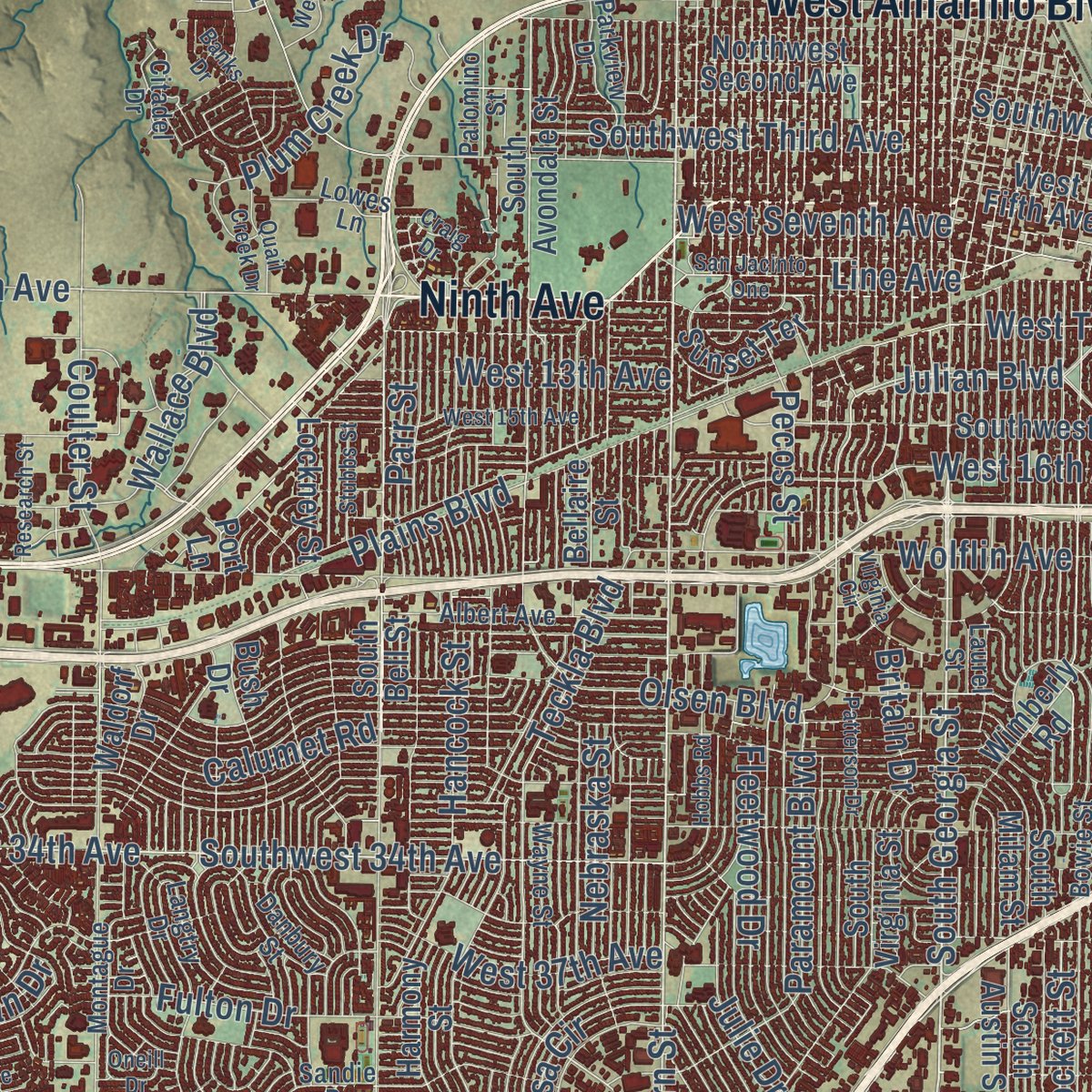
Combining modern data with the timeless character of a vintage atlas, this map is just as interesting up close as it is beautiful on the wall. Whether you grew up in Amarillo, spent memorable years there, or call it home today, this unique map is a great way to celebrate a place that means something to you. Zoom in on the preview to look for your street, and then order a print to put your memories on the wall.
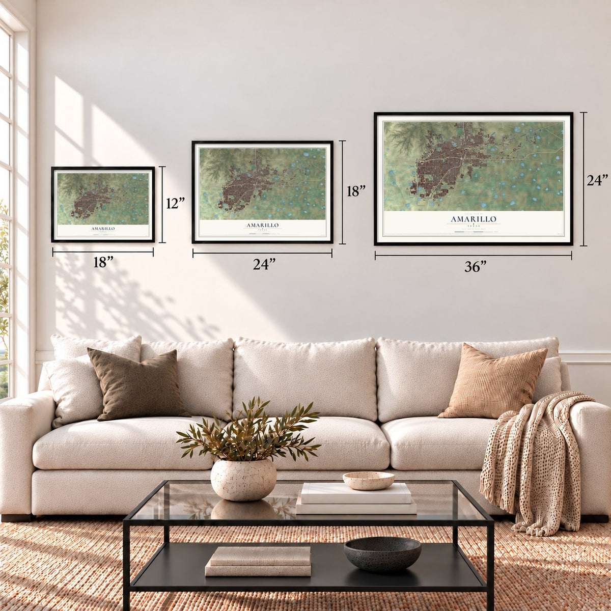
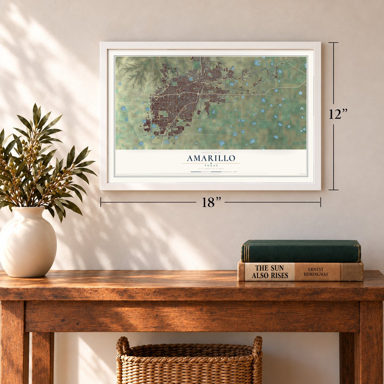
Three ways to hang it
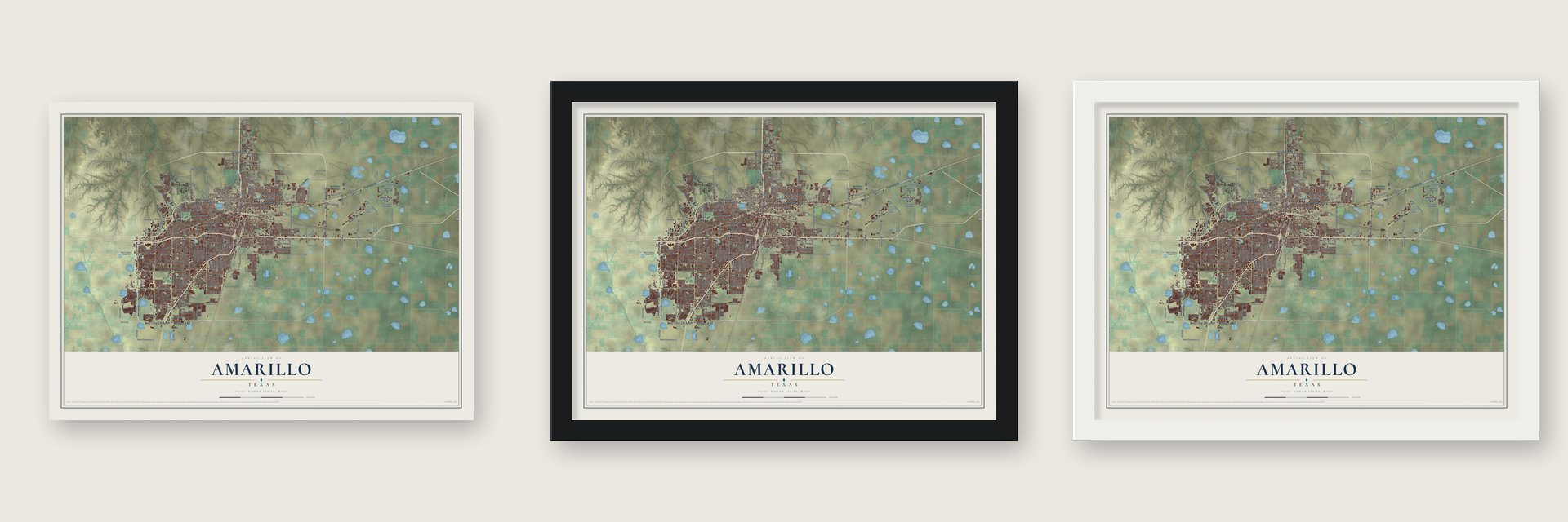
Unframed archival matte, a black wood frame or a white wood frame.
Up close
Geography Worth Displaying
This map was created using accurate cartographic data and authoritative geographic sources, including the U.S. Geological Survey and the Census Bureau. The map brings together terrain, waterways, roads, and building detail. The majority of the streets are labeled, houses are accurately depicted, and the topography is derived from government sources. Combining local data with carefully composed color and shading leads to this beautifully detailed Amarillo artwork for your wall.
Rather than simply showing street outlines, we’ve included as many of the street names as we could reasonably fit on the map while keeping their names legible. Zoom in on the high resolution preview to see exactly what’s on the map. We truly set out to create a statement piece for anyone who loves Amarillo. So whether it’s for you, or a gift for someone you love, we hope this map of Amarillo brings back fond memories.
Read the story behind this map of Amarillo, Texas from 2026.
Find your street
Names on the Amarillo map
Every name below is printed on this map. Look for your street, your school, the park where you played, or the pond down the road.
Places and landmarks7
- Amarillo City Hall
- Folsom
- Soncy
- Pleasant Valley
- Pullman
- Dumas Junction
- Air Park
Streets and roads322
- State Loop 335
- Hollywood Road
- North Lakeside Drive
- Saint Francis Avenue
- West Amarillo Boulevard
- Highway 66
- East Amarillo Boulevard
- West Loop 335 South
- Airport Boulevard
- State Loop 395
- River Road
- State Loop 434
- Sixth Avenue
- Fritch Highway
- Ninth Avenue
- South Western Street
- South Georgia Street
- Southwest 45th Avenue
- West 45th Avenue
- South Washington Street
- Southwest First Avenue
- West 58th Avenue
- South Soncy Road
- East 29th Avenue
- Willow Street
- Canyon Drive
- Southwest 34th Avenue
- Soncy Road
- Teckla Boulevard
- Julian Boulevard
Show all 322 streets
- East 14th Avenue
- Paramount Boulevard
- North Western Street
- East 27th Avenue
- Kimberly Road
- Bell Street
- Southeast Third Avenue
- West 34th Avenue
- Northeast 24th Avenue
- Martin Luther King Junior Boulevard
- Coulter Street
- East 34th Avenue
- Southeast 34th Avenue
- South Coulter Street
- South Grand Street
- Crockett Street
- Parker Street
- Hillside Road
- South Travis Street
- Wolflin Avenue
- South Hayden Street
- South Osage Street
- South Tyler Street
- Arden Road
- South Polk Street
- Southwest Third Avenue
- South Ong Street
- Helium Road
- South Eastern Street
- Tenth Avenue
- West Hastings Avenue
- Northeast 16th Avenue
- North Eastern Street
- West Tenth Avenue
- West Seventh Avenue
- Northeast 15th Avenue
- North Mirror Street
- Wallace Boulevard
- East County Road 58
- East 22nd Avenue
- East Hastings Avenue
- Pullman Road
- Plains Boulevard
- West 16th Avenue
- FM 2176
- Broadway Drive
- Pavillard Drive
- Northwest Twelfth Avenue
- West Sundown Lane
- Tascosa Road
- Echo Street
- Folsom Road
- Ross Street
- East 15th Avenue
- Tradewind Street
- West 37th Avenue
- Fairway Drive
- North Hill Street
- Line Avenue
- Northwest 15th Avenue
- Angelus Drive
- Northeast 27th Avenue
- Sanborn Street
- Triangle Drive
- East 25th Avenue
- Andover Drive
- Farmers Avenue
- North Arthur Street
- Fulton Drive
- North Polk Street
- Charlie Street
- North FM 1912
- Hancock Street
- Plum Creek Drive
- Oak Drive
- Yale Street
- Mesa Circle
- Olsen Boulevard
- FM 1061
- West 13th Avenue
- Harvard Street
- Calumet Road
- Fleetwood Drive
- FM 2590
- Nebraska Street
- North Johnson Street
- FM 2186
- Sheldon Road
- Columbine Street
- Catalpa Lane
- East Bonita Avenue
- East 19th Avenue
- Heather Street
- Scotty Drive
- Longhorn Trail
- Jackrabbit Road
- Smelter Road
- County Road
- Leroy Way
- Bluebonnet Drive
- FM 2575
- Alexandria Avenue
- Oregon Trail
- Nancy Ellen Street
- Perry Avenue
- Chisholm Trail
- Woodside Drive
- Leigh Avenue
- Stardust Lane
- Buck Street
- Pilgrim Drive
- Hurst Road
- Julie Drive
- City View Drive
- Baughman Drive
- Pinnacle Drive
- Pecos Street
- East 46th Street
- Parr Street
- Dale Street
- Hetrick Drive
- Gables Street
- Hatton Road
- Royce Drive
- Bennet Road
- Star Lane
- Terry Street
- Britain Drive
- Barstow
- Kori Drive
- Plaza Street
- South Loop 335 West
- South Pierce Street
- North Pierce Street
- West Country Road 34
- South Taylor Street
- South Avondale Street
- Ken Lane
- South Austin Street
- South Van Buren Street
- Southeast 27th Avenue
- South Milam Street
- Northeast 20th Avenue
- Northwest Ninth Avenue
- Northeast 13th Avenue
- West Fifth Avenue
- Southeast 58th Avenue
- Northwest Fourth Avenue
- South Virginia Street
- Northwest Second Avenue
- South Pullman Road
- Southwest 15th Avenue
- Southeast 46th Avenue
- Northeast Twelfth Avenue
- South Bell Street
- Northeast 18th Avenue
- Harmony Street
- Centerport Boulevard
- Northwest 24th Avenue
- South Lincoln Street
- South Parsley Road
- South Spring Street
- West 48th Avenue
- Cornell Street
- FM 1719 North
- West Chaparral Road
- East 32nd Avenue
- West Farmers Avenue
- East 23rd Avenue
- Sunset Terrace
- North Lake Street
- North Whitaker Road
- Brook Avenue
- South Grant Street
- Northwest 18th Avenue
- Hampton Drive
- Westgate Parkway West
- Bellaire Street
- Aberdeen Parkway
- Hurst Street
- FM 1719
- Walls Road
- Yucca Drive
- Bush Drive
- Iris Street
- Camp Lane
- Wimberly Road
- Northeast Eighth Avenue
- North Parsley Road
- River Birch Place
- Big Texan Road
- Radar Road
- Cervin Drive
- Skyline Avenue
- East Cherry Avenue
- Hornady Street
- Lockney Street
- Hyde Parkway
- Alert Drive
- Point West Parkway
- Westin Drive
- Athens Street
- Keith Street
- Alamo Road
- Irwin Road
- Mirror Street
- Ellen Hope Street
- Prosper Drive
- Attebury Drive
- Waldorf Drive
- Staten Is
- Quail Boulevard
- Spark Street
- Copper Drive
- Nix Street
- Salem Drive
- Fox Street
- Ward Street
- Blake Avenue
- Port Lane
- 21st Street
- Sandie Drive
- South Jackson Street
- Bowie Street
- South Arthur Street
- Northwest Eleventh Avenue
- Martin Road
- Bayswater Road
- South Johnson Street
- South Whitaker Road
- North Georgia Street
- Danbury Street
- Jason Avenue
- Albert Avenue
- Langtry Drive
- Montague Drive
- Capulin Lane
- Wayne Street
- Hall Avenue
- Bent Tree Drive
- Thunder Road
- Pecan Avenue
- John Drive
- Citadel Drive
- Clubview Drive
- Reeder Drive
- Juett Attebury Road
- Palomino Street
- Parkview Drive
- Lowes Lane
- Greeley Square
- Devon Drive
- Laurel Street
- Fifth Street
- West Hollywood Road
- East Third Avenue
- West Third Avenue
- West 15th Avenue
- Westwood Drive
- San Jacinto One
- Magnolia Street
- North Rusk Street
- North Bolton Street
- Rio Grande Avenue
- Patterson Drive
- Knoll Drive
- Westcliff Parkway
- Kwahadi Trail
- Craig Drive
- Alpine Lane
- Nick Street
- Hobbs Road
- Southeast Tenth Avenue
- East 21st Avenue
- Warehouse Road No 4
- Virginia Circle
- Tarrytown Avenue
- Amarillo Boulevard
- Rutgers Street
- Sunrise Drive
- Research Street
- Roach Drive
- Gary Lane
- Quail Creek Drive
- Stubbs Street
- Oneill Drive
- Ethan Lane
- Pinon Avenue
- Banks Drive
- 22nd Avenue
- Fradan
- Snead Lane
Names are listed as they appear on the printed map. Zoom into the product photos to find them.
About Amarillo, Texas
Amarillo is a city of 200,393 people and the county seat of Potter County, near the middle of the Texas Panhandle. In April 1887, John T. Berry of Abilene picked a well-watered spot beside the Fort Worth and Denver City Railway, which was then laying track across the Panhandle. On August 30, 1887, voters chose his townsite as the county seat. The town first went by Oneida, then took the name Amarillo, Spanish for yellow, probably for the yellow wildflowers or for Amarillo Lake and Amarillo Creek.
Henry B. Sanborn, later called the "Father of Amarillo," argued that Berry's site sat too low and would flood in heavy rain. On June 19, 1888, he and his partner Joseph F. Glidden started buying land to the east, and Sanborn offered businesses lots there in trade, along with help paying for new buildings. Merchants slowly moved to Polk Street, more followed after rains nearly flooded Berry's town in 1889, and a second election moved the county seat to Sanborn's site in 1893.
- Cattle, then grainThanks to the railroad's freight service, Amarillo was one of the world's busiest places to ship cattle by the late 1890s. In the early 1900s, as farmers grew more wheat and small grains, the city added grain elevators, mills and feed plants. Natural gas was found in 1918 and oil three years later, and oil and gas companies came to the area.
- Helium since 1927The federal government bought the Cliffside Gas Field, rich in helium, in 1927, and two years later the Federal Bureau of Mines began running the Amarillo Helium plant. For many years it was the only plant in the world making commercial helium, and the U.S. National Helium Reserve is kept in the Bush Dome Reservoir at Cliffside.
- The F4 tornado of 1949On the night of May 15, 1949, an F4 tornado, the strongest ever to strike Amarillo, tore through the crowded south and east sides of the city. It killed 7 people and injured more than 80.
- B-52s ended the slumpThe Dust Bowl of the 1930s pushed Amarillo into hard times. In 1951 the wartime army air field in east Amarillo reopened as Amarillo Air Force Base, home to a Strategic Air Command wing of B-52 bombers, and the servicemen and their families ended the slump. The population grew from 74,443 in 1950 to 137,969 in 1960, then fell to 127,010 by 1970 after the base closed on December 31, 1968.
- Where four highways metU.S. Routes 60, 87, 287 and 66 all crossed at Amarillo, so travelers stopped here in large numbers, and the city filled with motels, restaurants and curio shops to serve them.
Keep exploring Texas
Amarillo is one of 2,049 Texas towns we've mapped. Every dot on the map is a print of its own.
The search covers every state, Texas first.
Near Amarillo
Order 2 or more town maps and save 10%. Shown in the size and finish you picked above, so they hang as a set.
- Bishop Hills 12" x 18" / Archival Matte Print $39.99
- Palisades 12" x 18" / Archival Matte Print $39.99
- Timbercreek Canyon 12" x 18" / Archival Matte Print $39.99
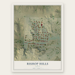
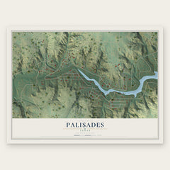
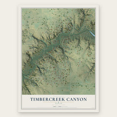
More maps nearby: Lake Tanglewood, Rockwell Place, Bushland, Washburn and Canyon.
The art of mapping a place
How This Map Was Made
Real places. Remarkable detail. Discover the layers that turn geographic data into a map of home.

The view from above
Aerial imagery reveals the character of the land: woodland, open fields, and the patterns of a place.

The shape of the land
Elevation data brings hills, valleys, and subtle changes in the landscape into view.

The details of home
Roads, waterways, and building footprints come together to make the map feel unmistakably local.

Geography becomes art
Considered color, shading, and typography bring the layers together in a map made for your wall.


Process illustrated with Mendon, Massachusetts. Aerial imagery: USDA NAIP. Terrain: USGS 3D Elevation Program. Map details and finished artwork: KNOWOL.
The Details
About This Print
Choose an archival matte print, or a black or white Ayous wood frame. The archival matte print is unframed.
Select your size and finish above to see the matching product image and price.
Materials & Craftsmanship
A contemporary map with the character of a classic atlas, printed on archival matte paper. Optional frames are made from Ayous wood.
Your printed map does not include the watermark shown in the full-map preview.
Shipping & Delivery
Free shipping within the United States. Every print is made to order in the USA.
Buying a gift? Add a note in your cart and we'll include it. We never put prices in the package.
Prints ship within 2 to 3 business days. Allow 7 to 10 days total from ordering for delivery. Timing may vary during holidays or periods of high order volume.
Read our shipping policy.
Returns and damaged prints
Each print is made to order. Change-of-mind refunds are not available after production.
If your print arrives damaged, misprinted or incorrect, contact support@knowol.com within 30 days of receiving it. Include your order number, photos and a description of the issue.
Read our full refund and replacement policy. For questions about your order, email support@knowol.com.