
Search for another town


Free U.S. delivery 7 to 10 days after you order
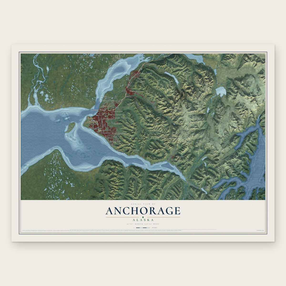
Anchorage, Alaska Map Art
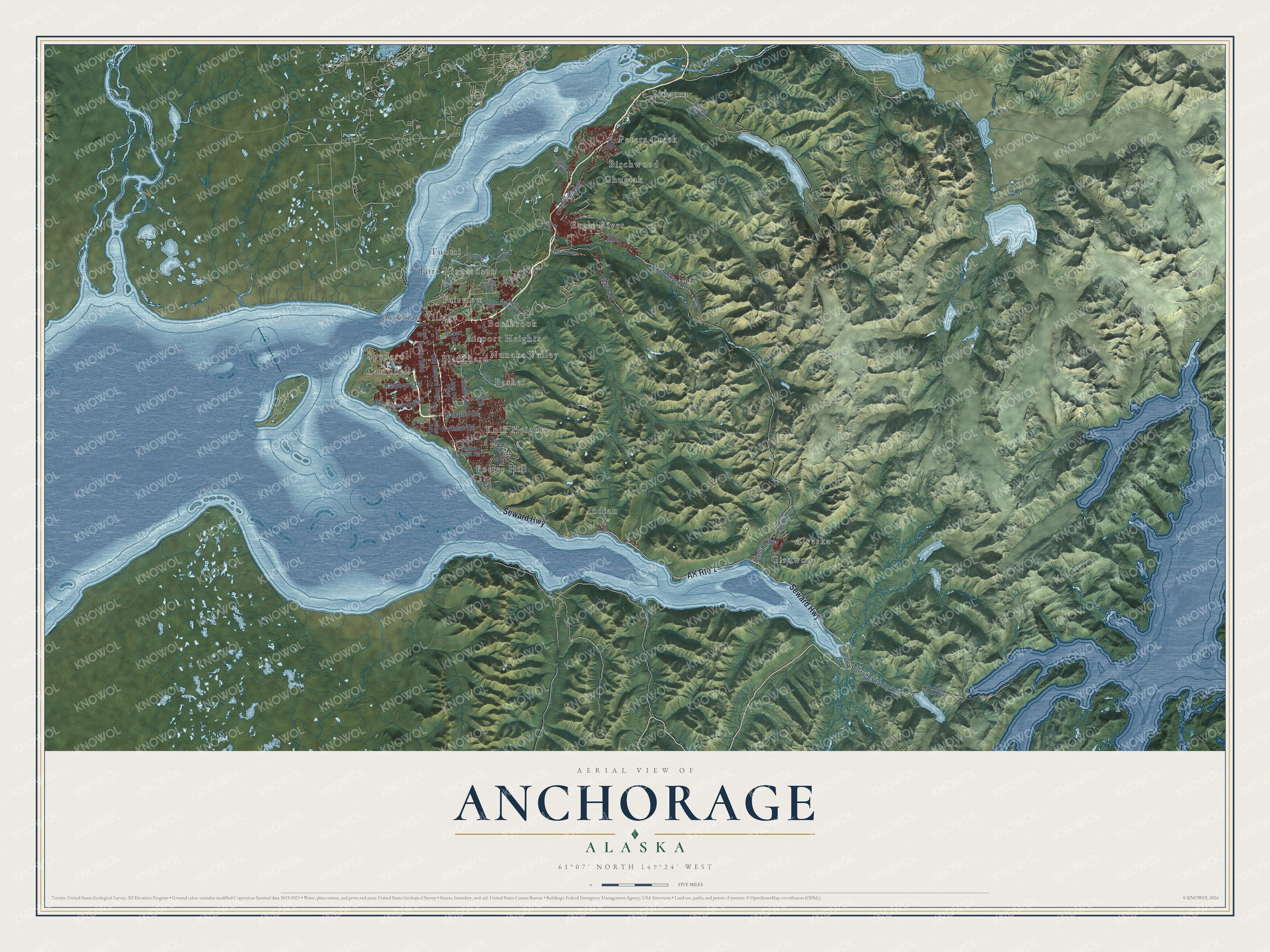
Building by building, with labeled streets and shaded relief.
12" x 18" Archival Matte Print
A Map of Home. A Work of Art.
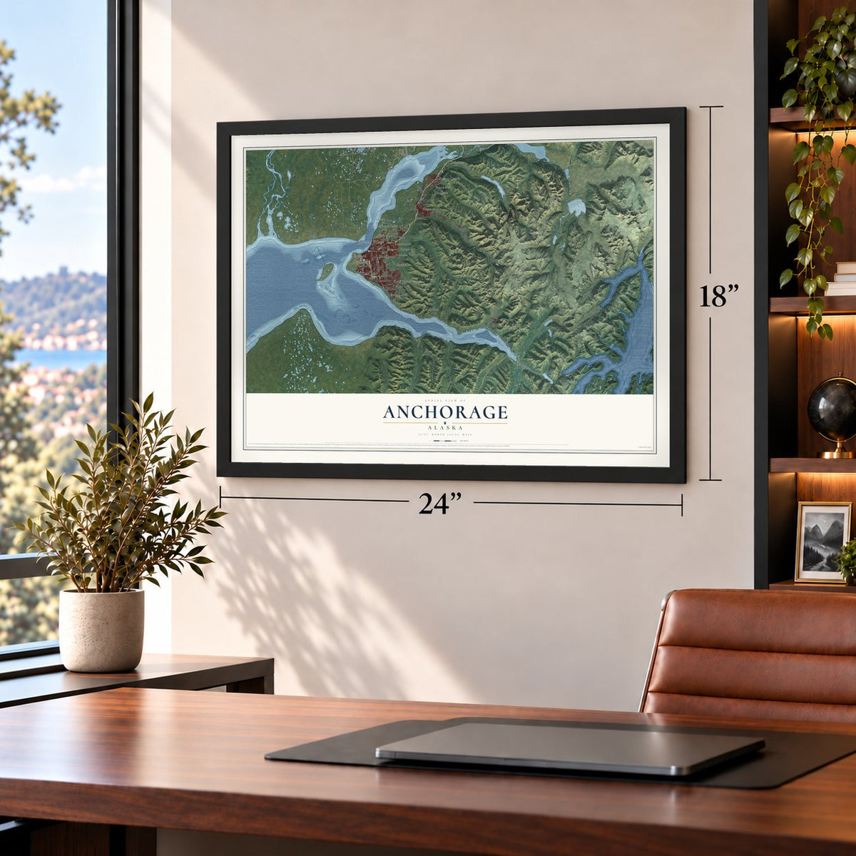
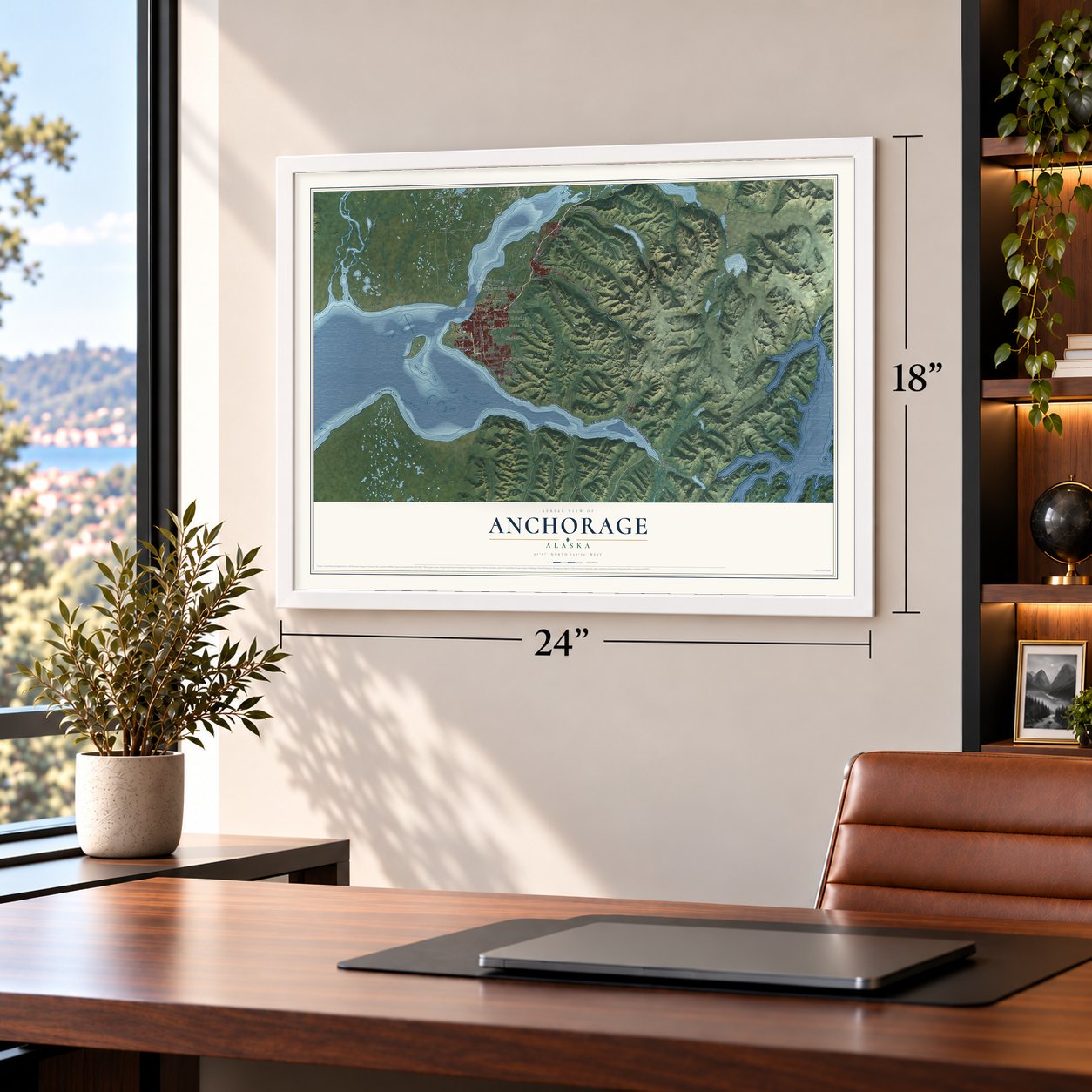
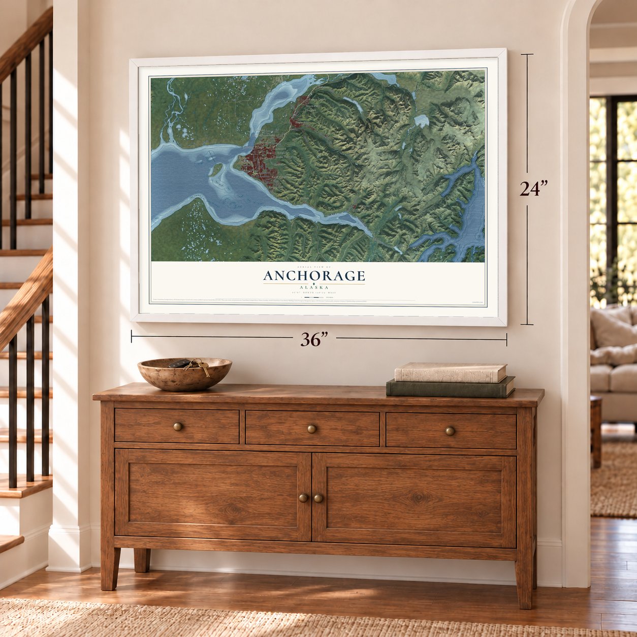
Explore Anchorage, Alaska from a whole new perspective. Created using aerial imagery and detailed geographic data, this map captures Anchorage building by building, with labeled streets, familiar landmarks, and shaded topographical relief that highlights the natural contours of the landscape.
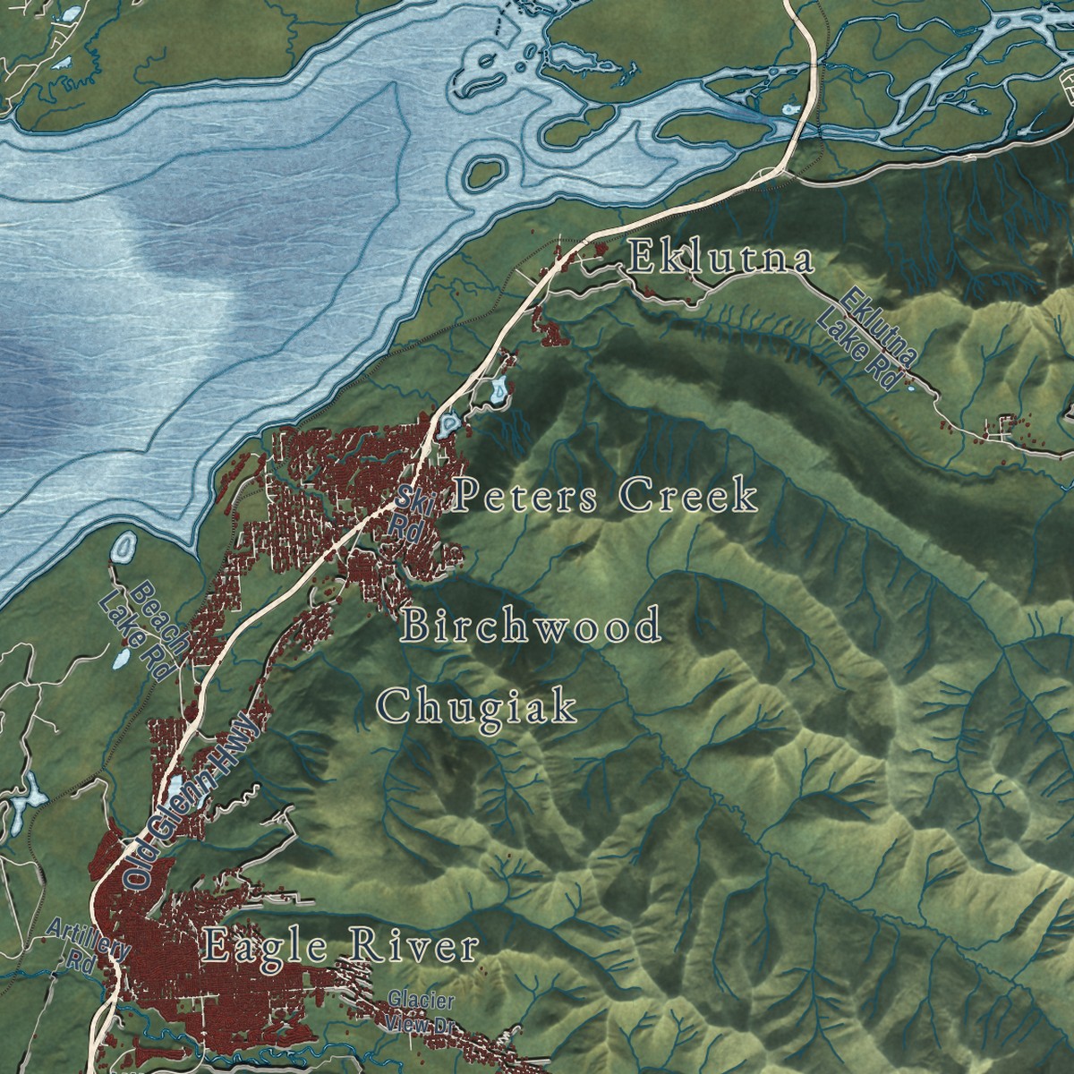
Combining modern data with the timeless character of a vintage atlas, this map is just as interesting up close as it is beautiful on the wall. Whether you grew up in Anchorage, spent memorable years there, or call it home today, this unique map is a great way to celebrate a place that means something to you. Zoom in on the preview to look for your street, and then order a print to put your memories on the wall.
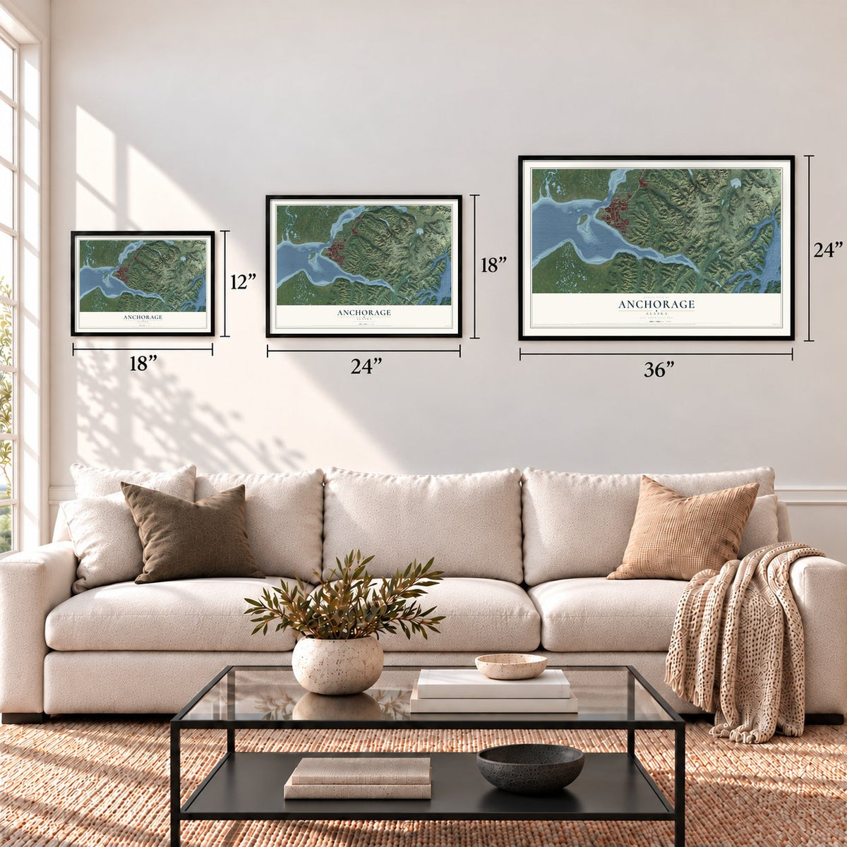
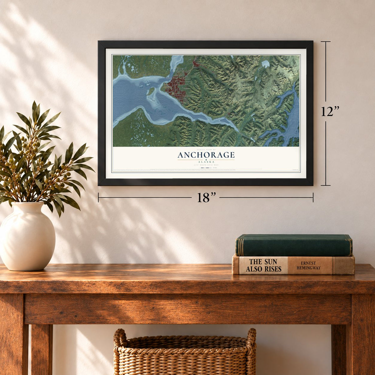
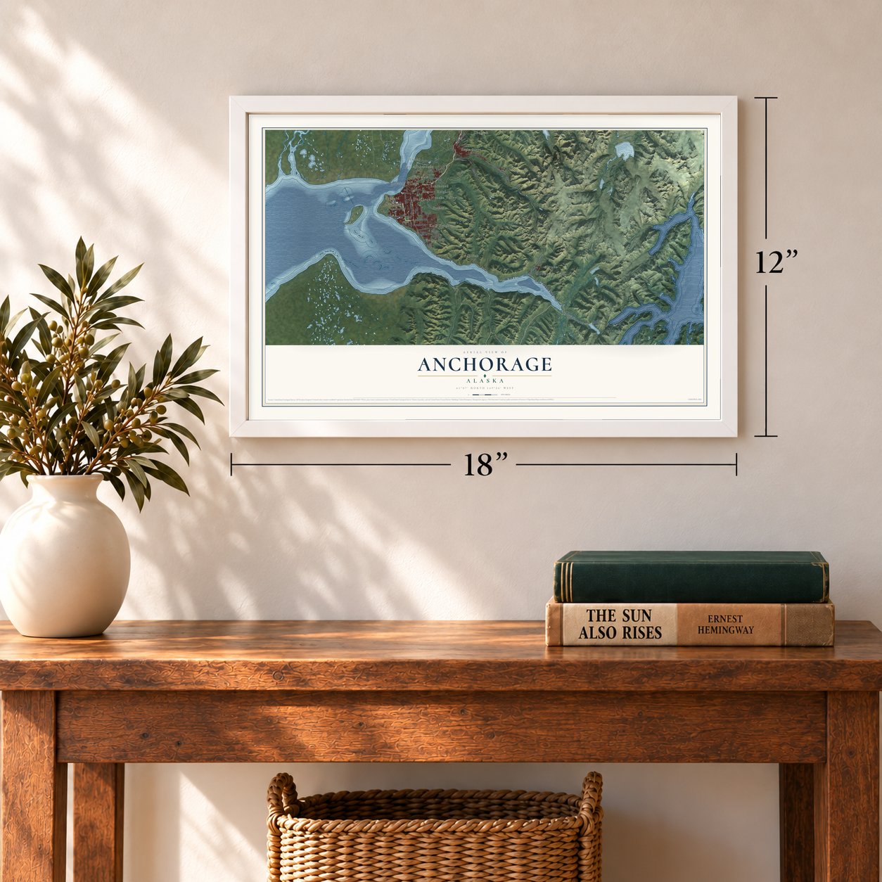
Three ways to hang it
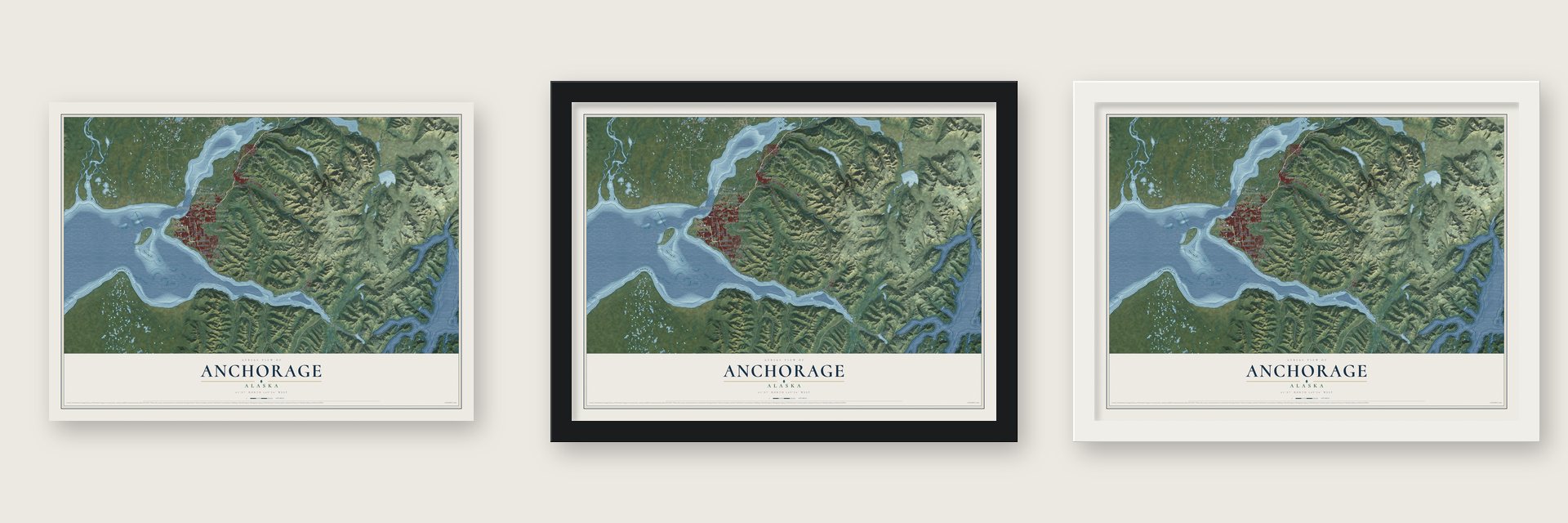
Unframed archival matte, a black wood frame or a white wood frame.
Up close
Geography Worth Displaying
This map was created using accurate cartographic data and authoritative geographic sources, including the U.S. Geological Survey and the Census Bureau. The map brings together terrain, waterways, roads, and building detail. The majority of the streets are labeled, houses are accurately depicted, and the topography is derived from government sources. Combining local data with carefully composed color and shading leads to this beautifully detailed Anchorage artwork for your wall.
Rather than simply showing street outlines, we’ve included as many of the street names as we could reasonably fit on the map while keeping their names legible. Zoom in on the high resolution preview to see exactly what’s on the map. We truly set out to create a statement piece for anyone who loves Anchorage. So whether it’s for you, or a gift for someone you love, we hope this map of Anchorage brings back fond memories.
Read the story behind this map of Anchorage, Alaska from 2026.
Find your street
Names on the Anchorage map
Every name below is printed on this map. Look for your street, your school, the park where you played, or the pond down the road.
Places and landmarks21
- Airport Heights
- Alyeska
- Artesian Village
- Basher
- Birchwood
- Blanchard
- Bonibrook
- Campbell
- Chugiak
- Eagle River
- Eklutna
- Fairview
Show all 21 places
- Fort Richardson
- Girdwood
- Indian
- Knik Heights
- Nunaka Valley
- Peters Creek
- Potter Hill
- Spenard
- Tuomi
Streets and roads45
- AK Route 1
- Seward Highway
- Davis Highway
- O'Malley Road
- West Dimond Boulevard
- Huffman Road
- Eagle River Road
- Old Glenn Highway
- Old Seward Highway
- Elmore Road
- Raspberry Road
- Hiland Road
- Portage Glacier Road
- Arctic Boulevard
- Alyeska Highway
- Lake Otis Parkway
- Abbott Road
- Eklutna Lake Road
- Arctic Valley Road
- Loop Road
- Rabbit Creek Road
- Debarr Road
- Crow Creek Road
- Circle Drive
- Clark's Road
- 37th Street
- Hiland Drive
- Beach Lake Road
- Route Bravo
- Johns Road
Show all 45 streets
- East Street
- Ski Road
- Portage Glacier Highway
- Artillery Road
- Grady Highway
- King Street
- West Klatt Road
- De Armoun Road
- Basher Drive
- Potter Valley Road
- Karluk Street
- Glacier View Drive
- Cumulus Road
- Turpin Street
- Carl Street
Names are listed as they appear on the printed map. Zoom into the product photos to find them.
About Anchorage, Alaska
Anchorage is a city of 291,247 people at the head of Cook Inlet, on the land between Knik Arm and Turnagain Arm. On May 15, 1778, Captain James Cook dropped anchor here with HMS Resolution and named a nearby stream Ship Creek. The spot later became Anchorage because another Anchor Point already lay to the south, near Homer. By 1911 the Whitney and St. Clair families were living at the mouth of the creek.
In 1914 Frederick Mears and the Alaska Engineering Commission chose Ship Creek as the port for building the Alaska Railroad, because its water was deep enough for barges and small ships. A tent city grew up around the railroad headquarters. The government then mapped a town site on higher ground to the south, and owners could lose their land if caught breaking the liquor laws. Residents voted in 1915 to call the town Alaska City, but the territorial government kept the old name. Anchorage was incorporated on November 23, 1920, and the railroad was finished in 1923.
- Dena'ina countryFinds at Beluga Point, along Turnagain Arm, show Alutiiq people reached Cook Inlet by kayak about 5,000 years ago. Around 500 AD the Dena'ina Athabaskans came through the mountain passes. Their year moved with the seasons: summers were for fishing the streams, early fall was the time they went after Dall sheep, mountain goats and moose, and winters were spent close to the trading routes.
- Airfields and Army postsPlanes first used the firebreak south of town, now the Delaney Park Strip, which residents also played golf on. Clearing for Merrill Field began in 1929, and it served as the main airport until Anchorage International Airport replaced it in 1951. Elmendorf Air Force Base and Fort Richardson went up in the 1940s and drove the city's economy until the Prudhoe Bay oil find of 1968.
- The Good Friday earthquakeOn March 27, 1964, a magnitude 9.2 quake shook Anchorage for nearly five minutes and killed 115 people. The glacial silt under the city turned soft, and in the Turnagain neighborhood dozens of homes that stood 250 to 300 feet above sea level dropped to sea level. Broadcaster Genie Chance stayed on KENI for almost 24 hours, steering help to where it was needed and reuniting families. Rebuilding filled the rest of the 1960s.
- The capital that stayed putRobert Atwood of the Anchorage Times pushed to move the state capital from Juneau. Voters said no in 1960 and 1962 but said yes in 1974. Fearing too much power in Anchorage, they chose a new site near Willow, about 70 miles north, in 1976. In 1978 they defeated the nearly $1 billion bond to build it, and the capital never moved.
- One municipality since 1975In September 1975 the City of Anchorage joined the Greater Anchorage Area Borough, which took in Eagle River, Girdwood and Glen Alps. The new Municipality of Anchorage covers almost all of Chugach State Park.
Keep exploring Alaska
Anchorage is one of 381 Alaska towns we've mapped. Every dot on the map is a print of its own.
The search covers every state, Alaska first.
Near Anchorage
Order 2 or more town maps and save 10%. Shown in the size and finish you picked above, so they hang as a set.
- Eagle River 12" x 18" / Archival Matte Print $39.99
- Sunrise 12" x 18" / Archival Matte Print $39.99
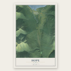
- Hope 12" x 18" / Archival Matte Print $39.99
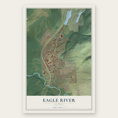

More maps nearby: Point MacKenzie, Knik-Fairview, Knik River, Gateway and Wasilla.
The art of mapping a place
How This Map Was Made
Real places. Remarkable detail. Discover the layers that turn geographic data into a map of home.

The view from above
Aerial imagery reveals the character of the land: woodland, open fields, and the patterns of a place.

The shape of the land
Elevation data brings hills, valleys, and subtle changes in the landscape into view.

The details of home
Roads, waterways, and building footprints come together to make the map feel unmistakably local.

Geography becomes art
Considered color, shading, and typography bring the layers together in a map made for your wall.


Process illustrated with Mendon, Massachusetts. Aerial imagery: USDA NAIP. Terrain: USGS 3D Elevation Program. Map details and finished artwork: KNOWOL.
The Details
About This Print
Choose an archival matte print, or a black or white Ayous wood frame. The archival matte print is unframed.
Select your size and finish above to see the matching product image and price.
Materials & Craftsmanship
A contemporary map with the character of a classic atlas, printed on archival matte paper. Optional frames are made from Ayous wood.
Your printed map does not include the watermark shown in the full-map preview.
Shipping & Delivery
Free shipping within the United States. Every print is made to order in the USA.
Buying a gift? Add a note in your cart and we'll include it. We never put prices in the package.
Prints ship within 2 to 3 business days. Allow 7 to 10 days total from ordering for delivery. Timing may vary during holidays or periods of high order volume.
Read our shipping policy.
Returns and damaged prints
Each print is made to order. Change-of-mind refunds are not available after production.
If your print arrives damaged, misprinted or incorrect, contact support@knowol.com within 30 days of receiving it. Include your order number, photos and a description of the issue.
Read our full refund and replacement policy. For questions about your order, email support@knowol.com.