
Search for another town


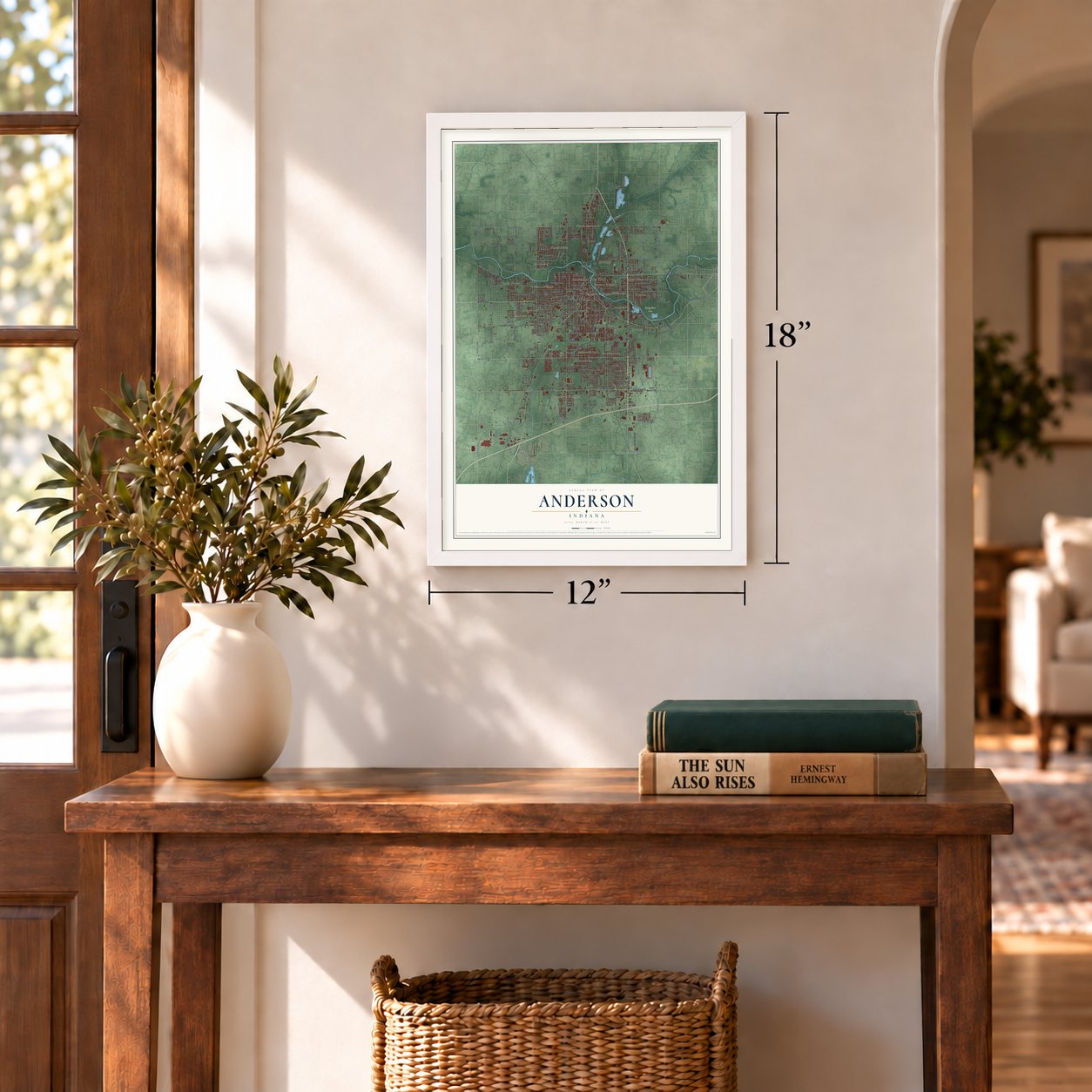
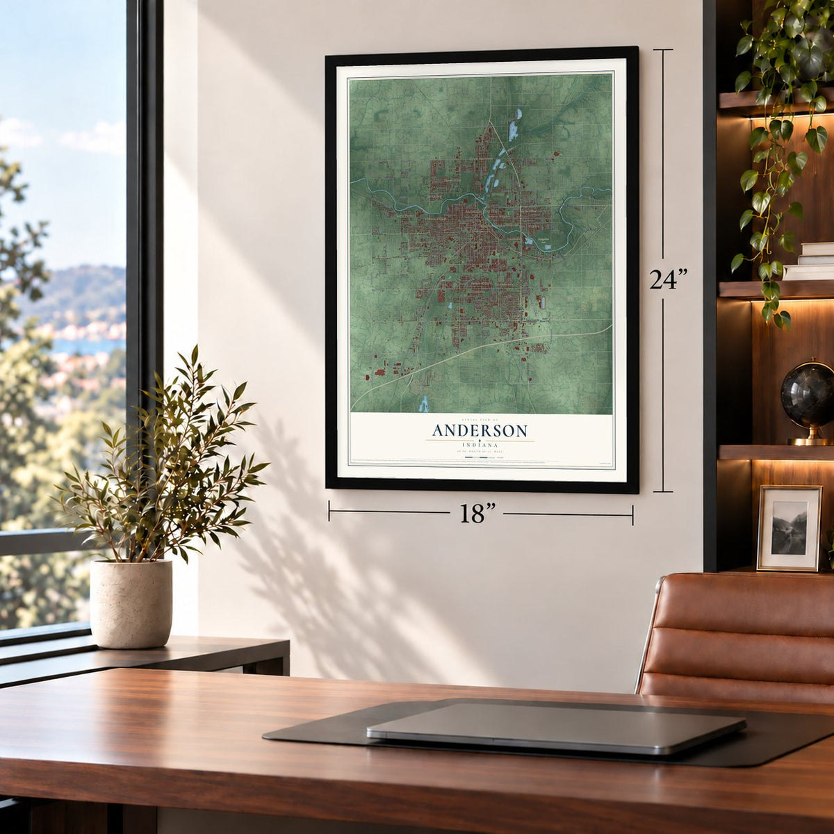
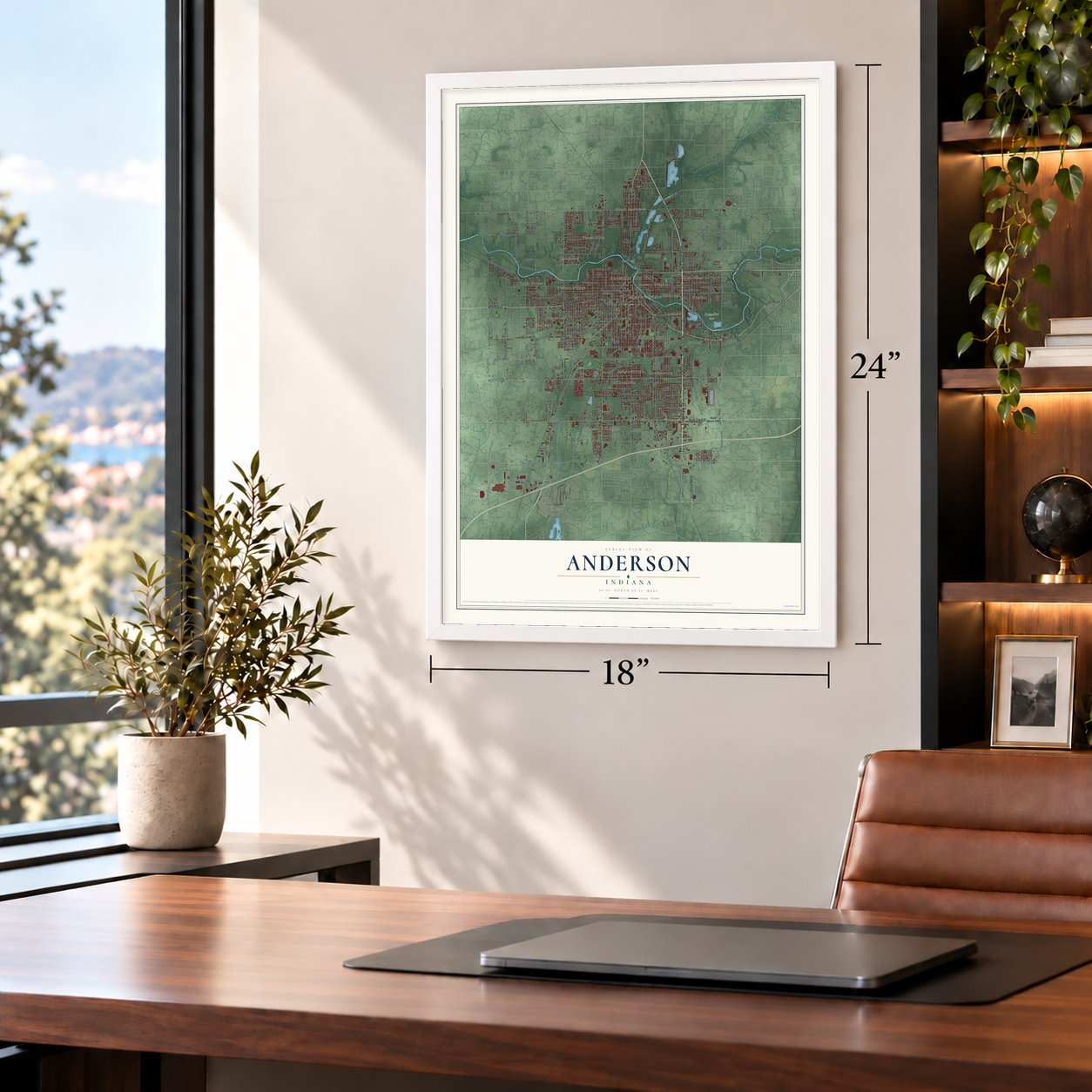

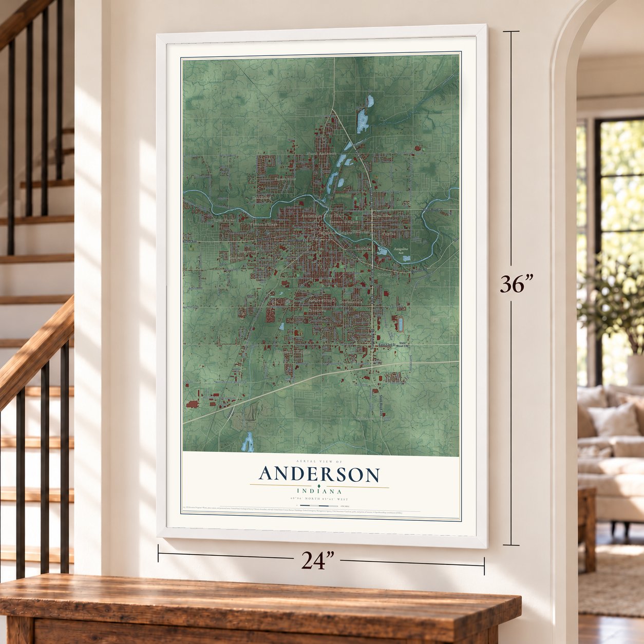

Free U.S. delivery 7 to 10 days after you order
Anderson, Indiana Map Art
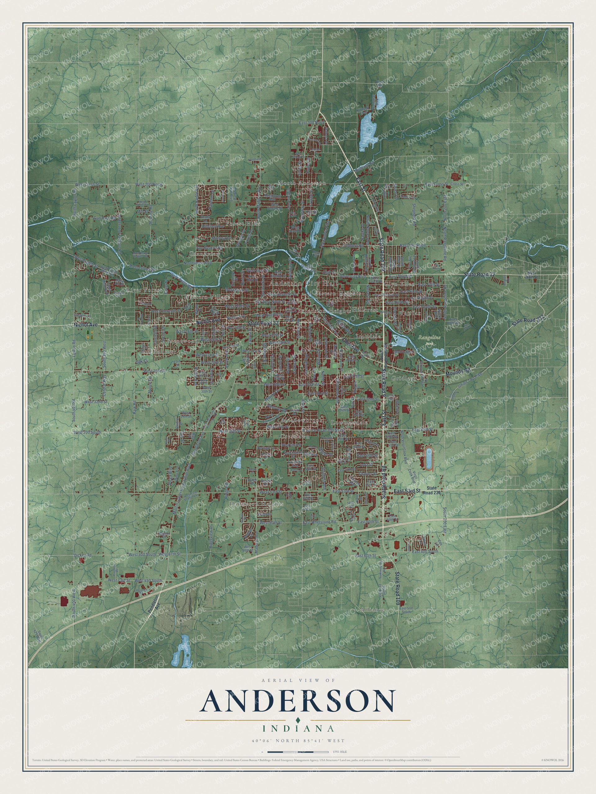
A new map of Anderson, Indiana, made in 2026 and printed to order on thick archival matte paper.
12" x 18" Archival Matte Print
A Map of Home. A Work of Art.
Explore Anderson, Indiana from a whole new perspective. Created using aerial imagery and detailed geographic data, this map captures Anderson building by building, with labeled streets, familiar landmarks, and shaded topographical relief that highlights the natural contours of the landscape.
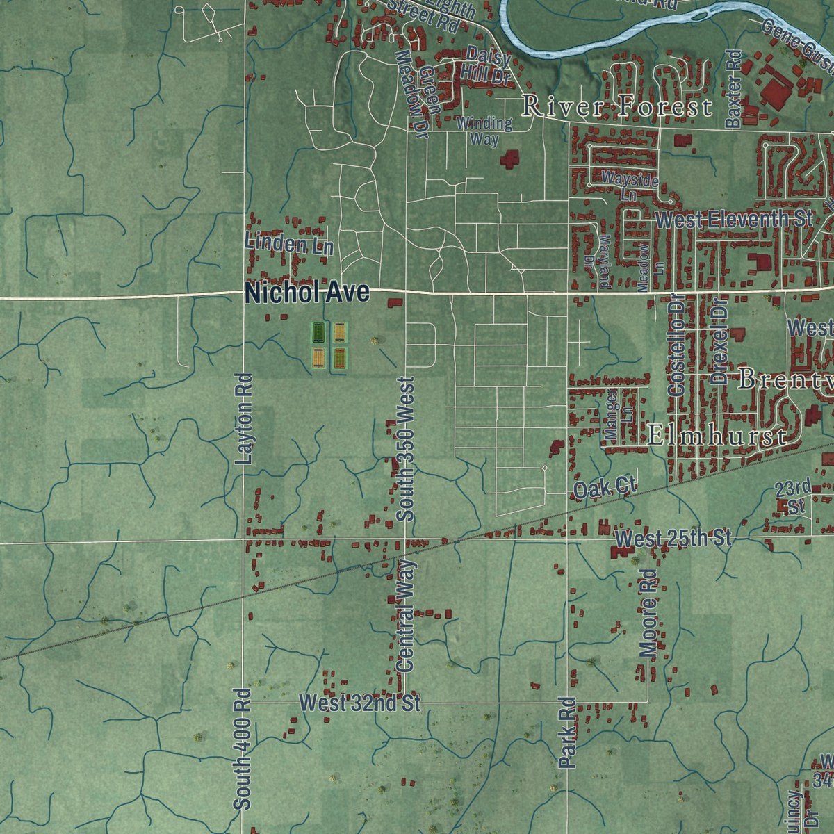
Combining modern data with the timeless character of a vintage atlas, this map is just as interesting up close as it is beautiful on the wall. Whether you grew up in Anderson, spent memorable years there, or call it home today, this unique map is a great way to celebrate a place that means something to you. Zoom in on the preview to look for your street, and then order a print to put your memories on the wall.
Three ways to hang it
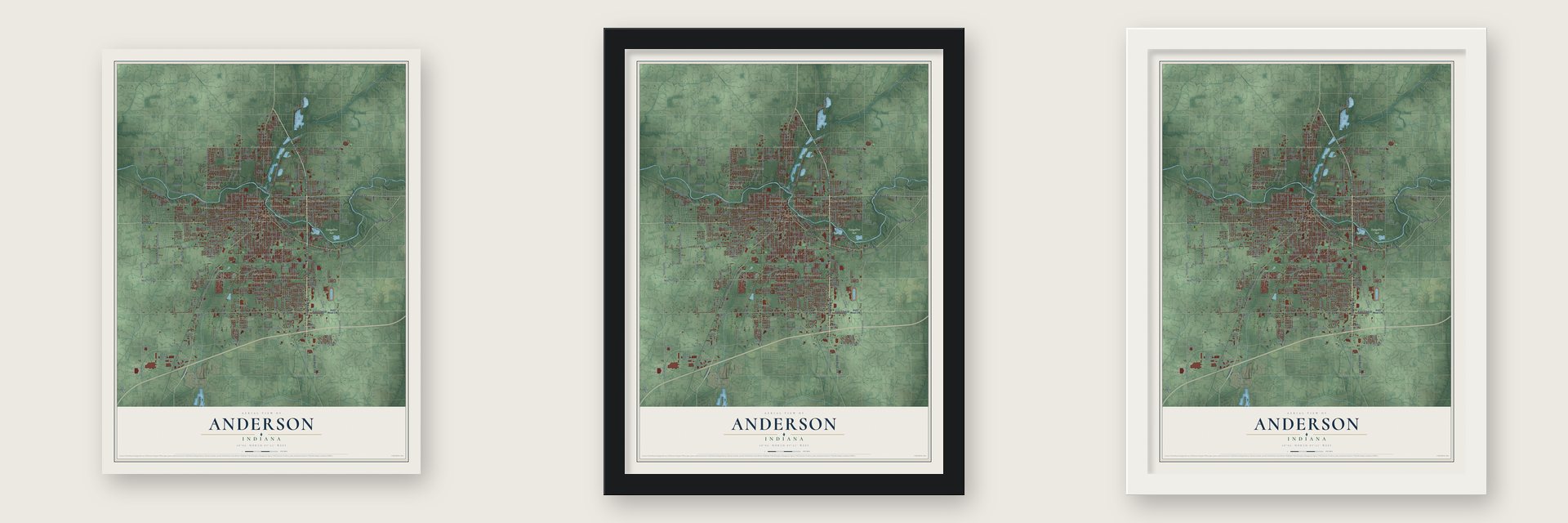
Unframed archival matte, a black wood frame or a white wood frame.
Up close
Geography Worth Displaying
This map was created using accurate cartographic data and authoritative geographic sources, including the U.S. Geological Survey and the Census Bureau. The map brings together terrain, waterways, roads, and building detail. The majority of the streets are labeled, houses are accurately depicted, and the topography is derived from government sources. Combining local data with carefully composed color and shading leads to this beautifully detailed Anderson artwork for your wall.
Rather than simply showing street outlines, we’ve included as many of the street names as we could reasonably fit on the map while keeping their names legible. Zoom in on the high resolution preview to see exactly what’s on the map. We truly set out to create a statement piece for anyone who loves Anderson. So whether it’s for you, or a gift for someone you love, we hope this map of Anderson brings back fond memories.
Read the story behind this map of Anderson, Indiana from 2026.

About Anderson, Indiana
Anderson is a city of 54,788 people and the county seat of Madison County, on the south bank of the White River. William Conner first claimed the land and later sold it to John and Sarah Berry. The Berrys gave Madison County 32 acres on one condition: the county seat had to move there from Pendleton. John Berry drew the first plat on November 7, 1827, and the courts moved in 1828. The town is named for Chief William "Adam" Anderson, whose Lenape name, Kikthawenund, means "creaking boughs."
Anderson first became a town in December 1838, with 350 people. The state planned to run the Central Canal through it, and digging went on through 1838. After the Panic of 1837, the state stopped the work in 1839, and Anderson slipped back into a quiet village. A second incorporation in 1849 lasted only until 1852. That year the Indianapolis Bellefontaine Railroad finished its line and station, and the town came alive. Anderson incorporated a third time on June 9, 1853. It became a city on August 28, 1865, with nearly 1,300 people, and Robert N. Williams was its first mayor.
- Gas boom of 1887Natural gas was found in Anderson on March 31, 1887, drawing glass makers and other gas-powered businesses. A Cincinnati editor called the city "The Pittsburgh on White River," and others the "Queen City of the Gas Belt." The city kept its gas lights burning day and night until the gas ran out in 1912.
- Interurbans and automobilesThe Interurban Railroad began in Anderson in 1897. Charles Henry, a major stockholder, had coined the word "Interurban" in 1893, and the line ran until 1941. Anderson factories also built 17 different kinds of automobiles, among them the Lambert family's Buckeye Gasoline Buggy. Local inventors perfected the gas regulator, the stamp vending machine, the automatic gearshift and a process for retreading tires.
- Home of the Church of GodThe Church of God moved its world headquarters to Anderson in 1905. Its Anderson Bible School opened in 1917, was renamed Anderson College in 1925 and became Anderson University in 1988.
- The Anderson PackersWhen the National Basketball Association was founded, the Anderson Packers were among its first teams, and they played the 1949-50 season. Anderson thus ranked among the smaller cities with a team in a major American league. The club folded after that one season.
Find your street
Names on the Anderson map
Every name below is printed on this map. Look for your street, your school, the park where you played, or the pond down the road.
Places and landmarks21
- Anderson City Hall
- Rangeline Park
- Alliance
- Brentwood
- Crestlawn
- Eastern Heights
- Elmhurst
- Extension Heights
- Fairfax
- Forest Hills
- Glyn Ellen
- Grandview
Show all 21 places
- Gridley
- Harmeson Heights
- Hillcrest
- Irondale
- Lowmandale
- Meadowbrook
- North Anderson
- River Forest
- Western Village
Streets and roads305
- State Road 9
- State Road 32
- Nichol Avenue
- Ohio Avenue
- Mounds Road
- East Street
- State Road 109
- Scatterfield Road
- State Road 232
- East 53rd Street
- Main Street
- South Rangeline Road
- Hst West Ninth Street
- South 200 East
- East Ninth Street
- University Boulevard
- Union Twp Pike
- East Third Street
- East 400 South
- Lincoln Street
- Arrow Avenue
- East 38th Street
- East County Road 200 South
- West 38th Street
- West Sixth Street
- Broadway Street
- West Eleventh Street
- Columbus Avenue
- East 60th Street
- East Whetstone Road
Show all 305 streets
- Martin Luther King Junior Boulevard
- Pendleton Avenue
- West 400 South
- West 29th Street
- West 22nd Street
- Pitt Street
- North Raible Avenue
- Anderson Frankton Road
- West 450 South
- West 73rd Street
- East 29th Street
- Layton Road
- Madison Avenue
- Park Road
- South 400 Road
- West Eighth Street
- West 53rd Street
- West 200 North
- West Cross Street
- West 25th Street
- Raible Avenue
- West 67th Street
- Central Avenue
- Alexandria Pike
- Brown Street
- Fletcher Street
- East Cross Street
- Dickey Road
- East Tenth Street
- East Fifth Street
- Ridge Road
- West Twelfth Street
- Jackson Street
- East 100 North
- Lindberg Road
- West 16th Street
- Meridian Street
- East Sixth Street
- Pearl Street
- East Lynn Street
- East 67th Street
- West Tenth Street
- West 18th Street
- Locust Street
- Walnut Street
- North Madison Avenue
- Fairview Street
- Hendricks Street
- Delaware Street
- South 350 West
- West 60th Street
- Sherman Street
- West 23rd Street
- Romine Road
- North 200 East
- Charles Street
- Crystal Street
- Henry Street
- North Rangeline Road
- Moss Island Road
- West 19th Street
- Central Way
- Dewey Street
- West 32nd Street
- Indiana Avenue
- West 17th Street
- West Seventh Street
- Noble Street
- East 27th Street
- Northshore Boulevard
- South 400 West
- Jefferson Street
- East 32nd Street
- Andover Road
- Van Buskirk Road
- Shepherd Road
- West 200 South
- East 31st Street
- Silver Street
- Drexel Drive
- Chester Street
- Poplar Street
- Gun Barn Road
- West 37th Street
- North Layton Road
- Marine Drive
- Hillcrest Avenue
- Clark Street
- Mimosa Lane
- Nursery Road
- West First Street
- East 44th Street
- Hill Street
- East 300 North
- Costello Drive
- Southern Avenue
- Forest Drive
- North Nursery Road
- Ranike Drive
- Moore Road
- Dresser Drive
- Ridgeview Drive
- Picea Boulevard
- Raintree Drive
- Bethany Road
- Mellen Drive
- Lora Street
- High Street
- Miller Avenue
- Metro Boulevard
- Dakota Drive
- Loral Drive
- Linden Lane
- Bruce Lane
- Lee Street
- Mill Street
- Oak Court
- State Road 236
- West 13th Street
- East 41st Street
- Cincinnati Avenue
- Dietzen Boulevard
- Arbor Drive
- South Roby Drive
- East Eighth Street
- East Seventh Street
- West Eighth Street Road
- West 15th Street
- Sycamore Street
- Halford Street
- Medical Arts Boulevard
- West 21st Street
- West Third Street
- East Fourth Street
- South Nursery Road
- Alhambra Drive
- East 23rd Street
- West Second Street
- South Coventry Drive
- Park Avenue
- West 27th Street
- East Grand Avenue
- Virgil Cook Boulevard
- West Vinyard Street
- East 35th Street
- East 34th Street
- East 47th Street
- South 100 East
- Summitville Road
- Hawthorne Avenue
- North Virgil Cook Boulevard
- West 34th Street
- Nelle Street
- Forkner Street
- Gene Gustin Way
- Waterway Boulevard
- North Parkway Drive
- Church Drive
- McKinley Street
- Green Meadow Drive
- East 42nd Street
- East 39th Street
- East 50th Street
- West 42nd Street
- Monroe Street
- East 40th Street
- Heritage Lane
- Buckingham Drive
- West 30th Street
- Miracle Avenue
- Irving Way
- Daisy Hill Drive
- Boulder Drive
- Circle Drive
- River Bluff Road
- East 59th Street
- East 500 South
- South Mustin Drive
- West North Street
- South Drive
- Saratoga Way
- Tamra Lane
- Baxter Road
- East 54th Street
- Essex Drive
- Cross Street
- Quincy Drive
- South 425 West
- Killbuck Trce
- Dayson Drive
- West 66th Street
- Gilmore Road
- East 48th Street
- Schell Lane
- Shady Lane
- Wilson Boulevard
- Malibu Drive
- Airport Road
- May Street
- Sloan Avenue
- Allen Lane
- Rustic Road
- 56th Street
- Robin Drive
- Colt Lane
- Rose Street
- Free Road
- 23rd Street
- West Main Street
- South Scatterfield Road
- West Ninth Street
- West 53rd Street Parkway
- Piccadilli Road
- West 20th Street
- East 19th Street
- Lennox Street
- Cedar Street
- Fulton Street
- Enterprise Drive
- West 26th Street
- Harter Boulevard
- Hillcrest Drive
- West 28th Street
- Winding Way
- Seminole Drive
- Malus Boulevard
- Wayside Lane
- Moss Island Heights Road
- Northcrest Drive
- Progress Road
- Oakland Drive
- West Water Street
- Asbury Drive
- Northfield Lane
- Orlena Drive
- Delmar Road
- Lowell Avenue
- West School Street
- Haven Place
- Manger Lane
- Pimlico Drive
- East 57th Street
- Granite Drive
- East 51st Street
- Oak Lane
- Penry Way
- Easy Street
- Lewis Drive
- Ann Lane
- East County Road 67
- Hst West Eleventh Street
- Federal Drive
- Louise Street
- Doctor Martin Luther King Junior Boulevard
- John Street
- East 21st Street
- East 22nd Street
- Lynnwood Drive
- Maryland Drive
- Jasper Way
- Rosalind Lane
- Apple Creek Way
- East 46th Street
- Sunset Boulevard
- West Grand Avenue
- McKinley Avenue
- Meadow Lane
- Greenwood Drive
- East Post Road
- Fall Ridge Lane
- Mohawk Drive
- River Park Drive
- Sandra Drive
- West Oak Street
- Teri Lane
Names are listed as they appear on the printed map. Zoom into the product photos to find them.
The art of mapping a place
How This Map Was Made
Real places. Remarkable detail. Discover the layers that turn geographic data into a map of home.

The view from above
Aerial imagery reveals the character of the land: woodland, open fields, and the patterns of a place.

The shape of the land
Elevation data brings hills, valleys, and subtle changes in the landscape into view.

The details of home
Roads, waterways, and building footprints come together to make the map feel unmistakably local.

Geography becomes art
Considered color, shading, and typography bring the layers together in a map made for your wall.


Process illustrated with Mendon, Massachusetts. Aerial imagery: USDA NAIP. Terrain: USGS 3D Elevation Program. Map details and finished artwork: KNOWOL.
The Details
About This Print
Choose an archival matte print, or a black or white Ayous wood frame. The archival matte print is unframed.
Select your size and finish above to see the matching product image and price.
Materials & Craftsmanship
A contemporary map with the character of a classic atlas, printed on archival matte paper. Optional frames are made from Ayous wood.
Your printed map does not include the watermark shown in the full-map preview.
Shipping & Delivery
Free shipping within the United States. Every print is made to order in the USA.
Buying a gift? Add a note in your cart and we'll include it. We never put prices in the package.
Prints ship within 2 to 3 business days. Allow 7 to 10 days total from ordering for delivery. Timing may vary during holidays or periods of high order volume.
Read our shipping policy.
Returns and damaged prints
Each print is made to order. Change-of-mind refunds are not available after production.
If your print arrives damaged, misprinted or incorrect, contact support@knowol.com within 30 days of receiving it. Include your order number, photos and a description of the issue.
Read our full refund and replacement policy. For questions about your order, email support@knowol.com.
Find your town
Looking for another city?
Find a map of home in our Indiana collection, or any town in the country.
Nearby
Maps of towns near Anderson
Know someone from one of these towns? Their map makes a great gift.
 Woodlawn Heights
, Indiana
From $39.99See the map
 Country Club Heights
, Indiana
From $39.99See the map
 River Forest
, Indiana
From $39.99See the map
More maps nearby: Edgewood, Chesterfield, Pendleton, Daleville and Middletown.