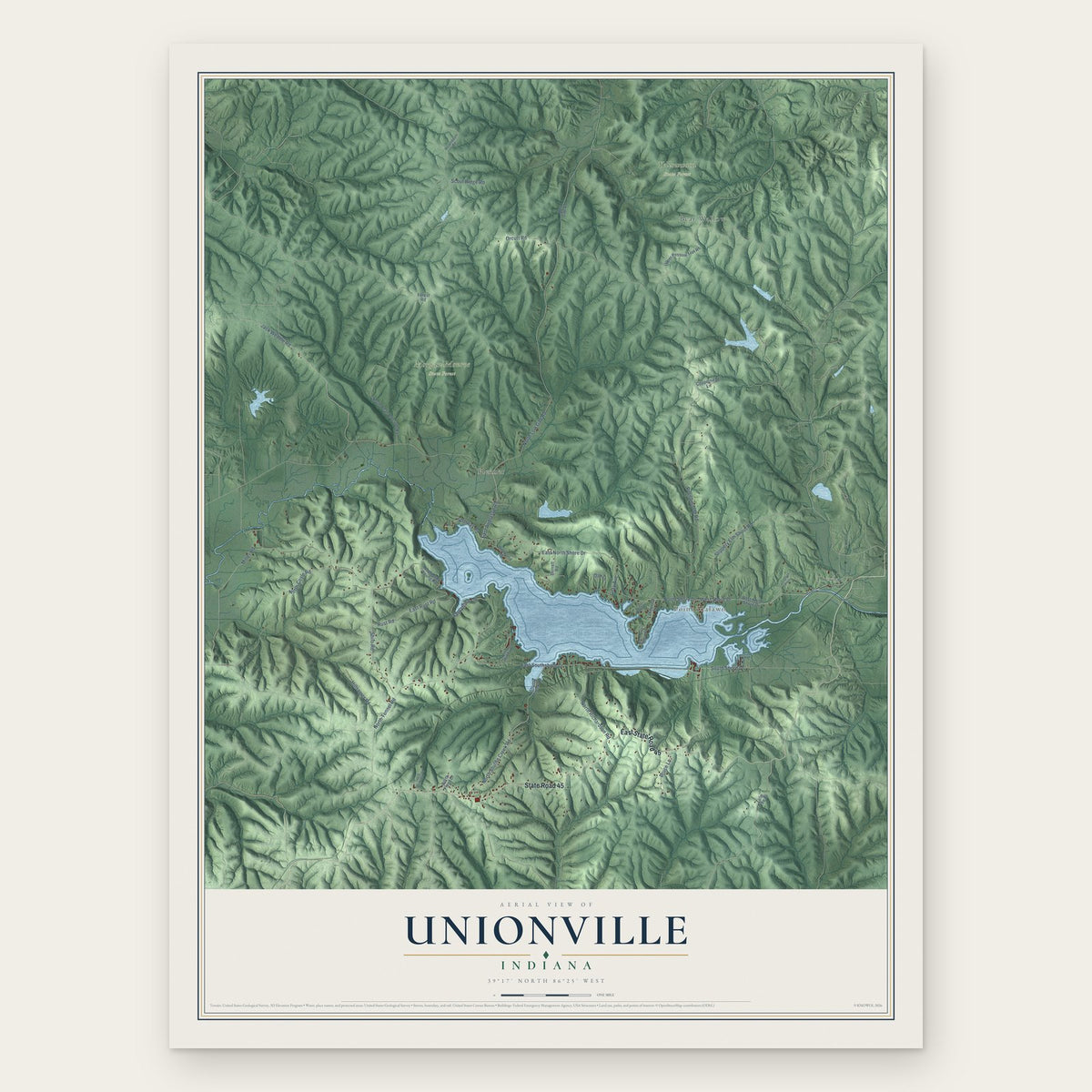
Indiana Town Maps A to Z
All 1,023 town maps. Each one opens its own page with the whole map.
Find your town
We make detailed maps of towns across the country, the way they look today. Type your town or city to see its map.
Browse by State
- Alabama
- Alaska
- American Samoa
- Arizona
- Arkansas
- California
- Colorado
- Connecticut
- Delaware
- Florida
- Georgia
- Guam
- Hawaii
- Idaho
- Illinois
- Iowa
- Kansas
- Kentucky
- Louisiana
- Maine
- Maryland
- Massachusetts
- Michigan
- Minnesota
- Mississippi
- Missouri
- Montana
- Nebraska
- Nevada
- New Hampshire
- New Jersey
- New Mexico
- New York
- North Carolina
- North Dakota
- Northern Mariana Islands
- Ohio
- Oklahoma
- Oregon
- Pennsylvania
- Puerto Rico
- Rhode Island
- South Carolina
- South Dakota
- Tennessee
- Texas
- U.S. Virgin Islands
- Utah
- Vermont
- Virginia
- Washington
- Washington, D.C.
- West Virginia
- Wisconsin
- Wyoming

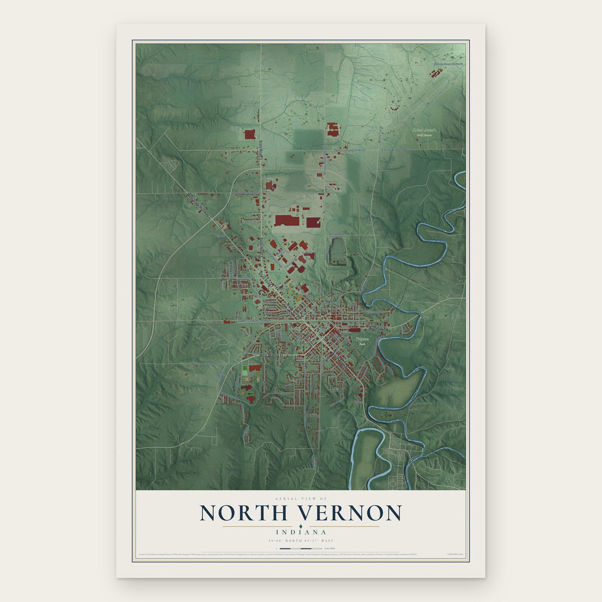


Mississinewa Lake, Indiana Map Art


Brookville Lake, Indiana Map Art



Eagle Creek Reservoir, Indiana Map Art

Tippecanoe Lake, Indiana Map Art
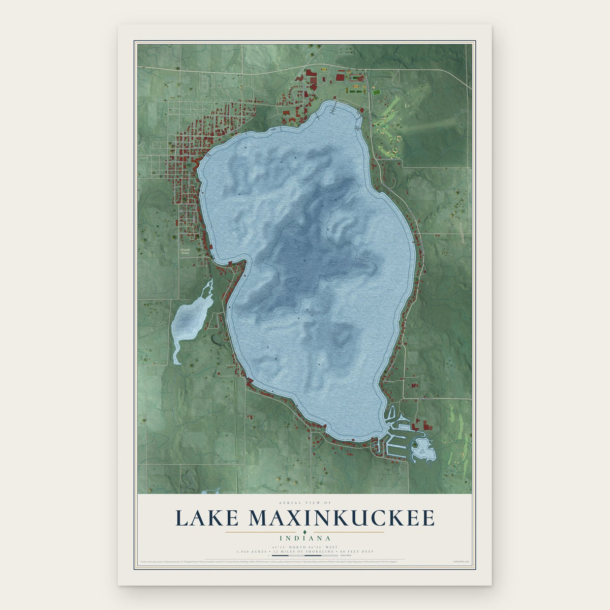
Lake Maxinkuckee, Indiana Map Art

Geist Reservoir, Indiana Map Art


University Heights, Indiana Map Art

Meridian Kessler, Indiana Map Art


Pulaski, Gary, Indiana Map Art


Woodruff Place, Indiana Map Art


Old Northside, Indiana Map Art


Little Flower, Indiana Map Art

Fall Creek Place, Indiana Map Art


Ambridge Mann, Indiana Map Art

Bloomfield, Jay County, Indiana Map Art