
Search for another town
Free U.S. delivery 7 to 10 days after you order
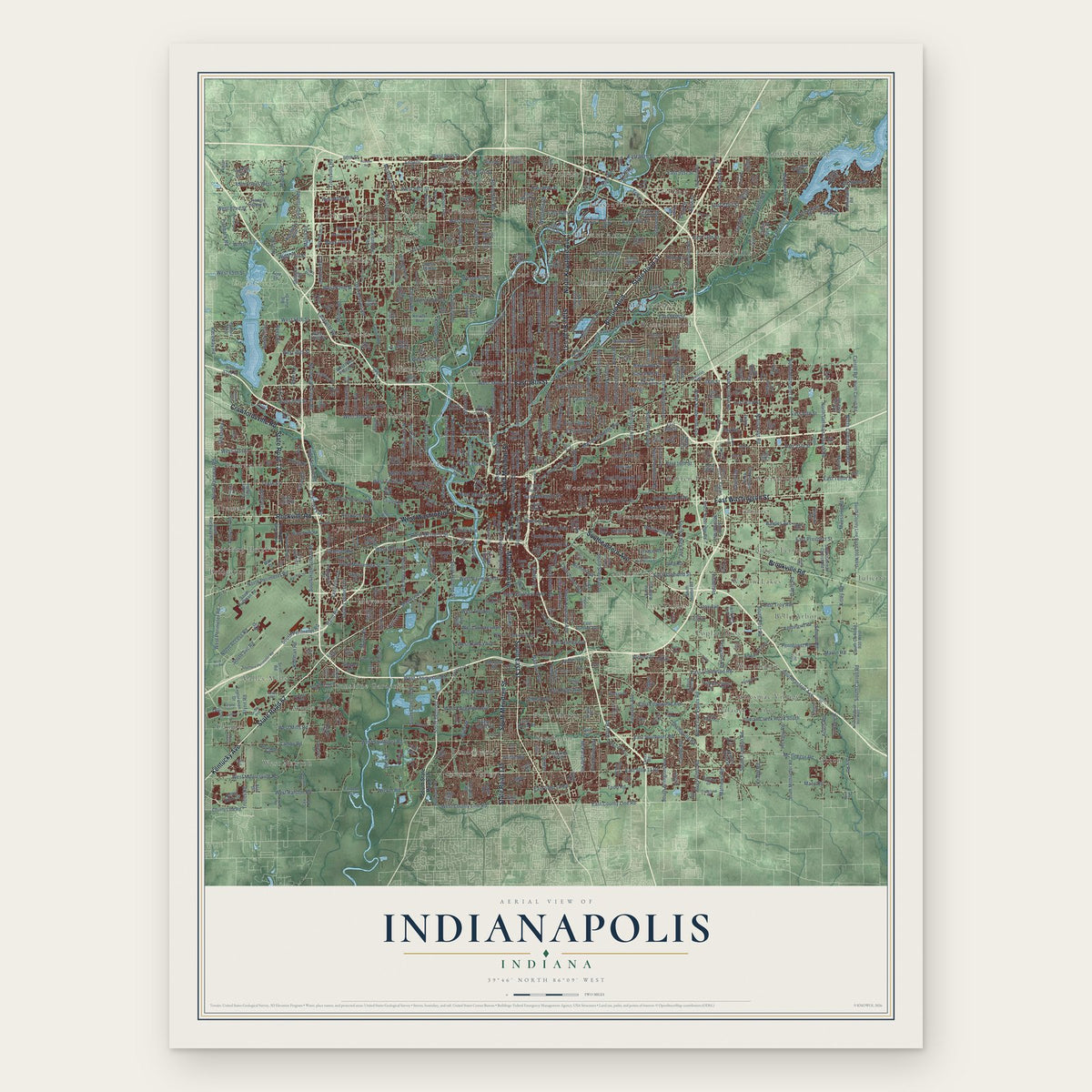
Indianapolis, Indiana Map Art
Building by building, with labeled streets and shaded relief.
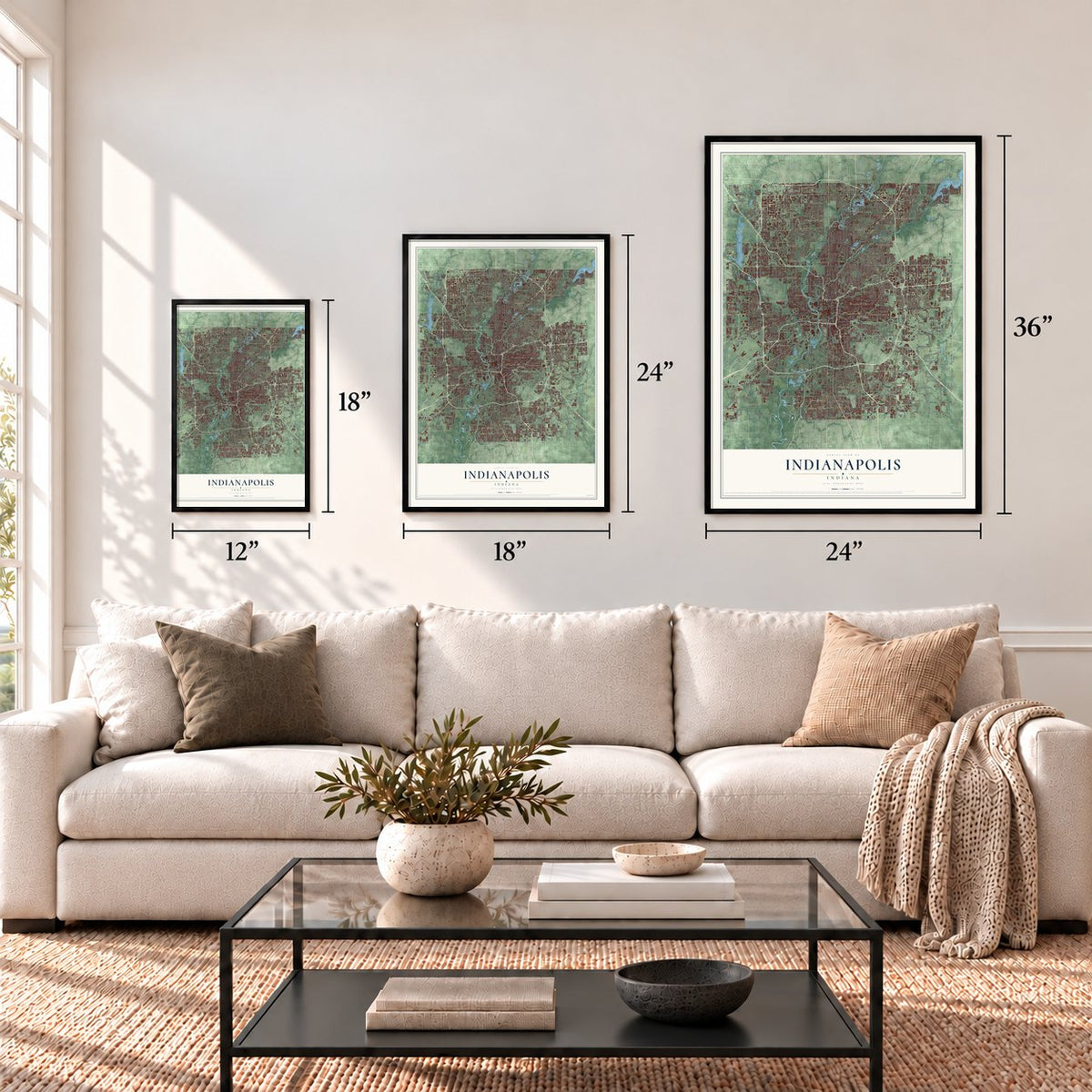
12" x 18" Archival Matte Print
A Map of Home. A Work of Art.
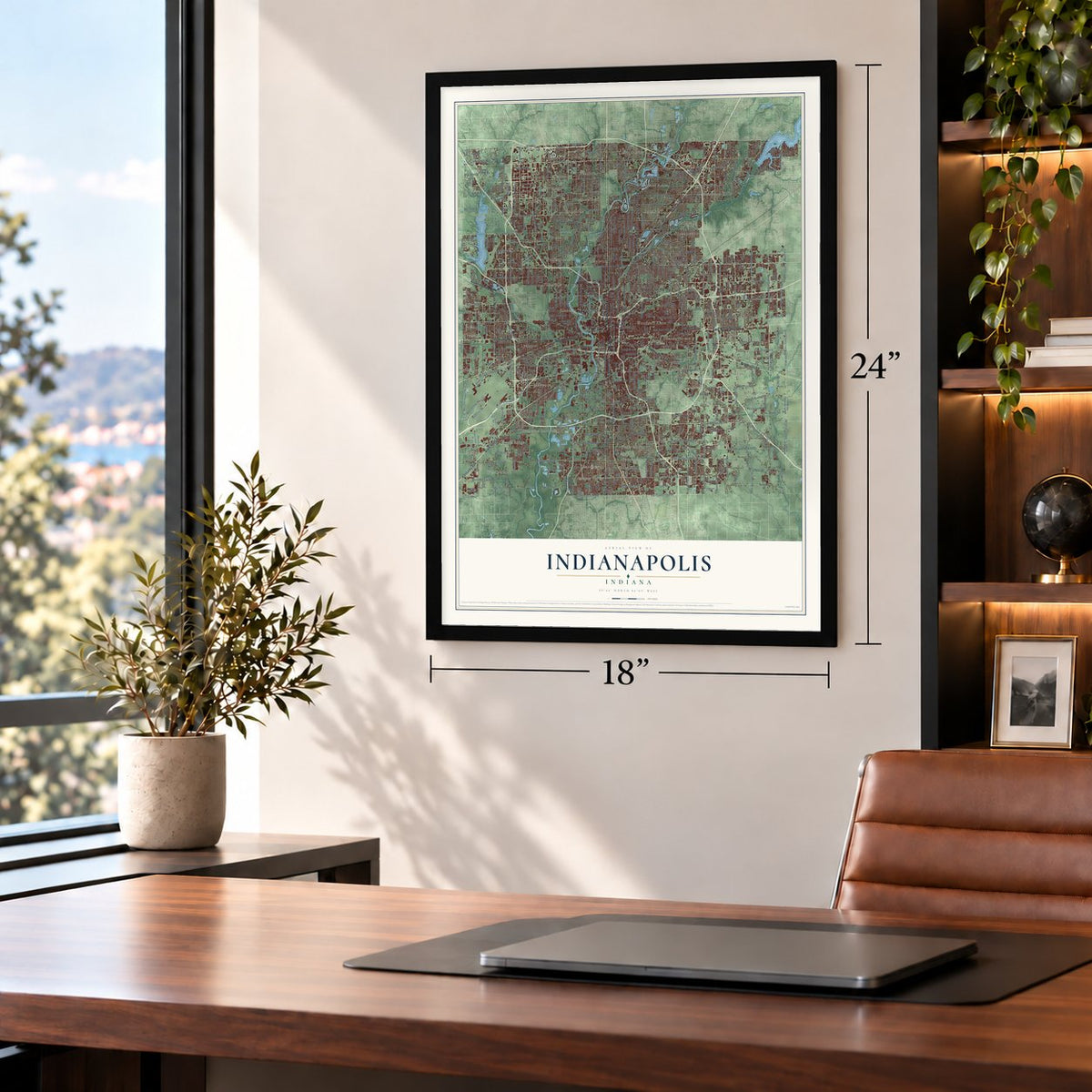
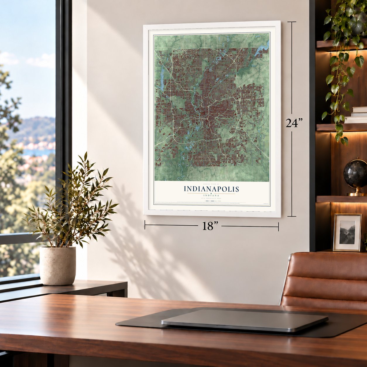
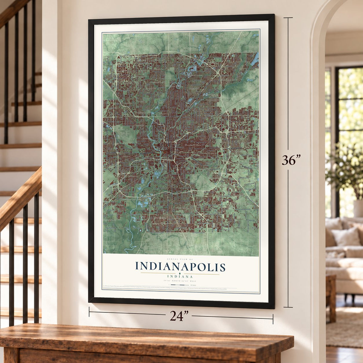
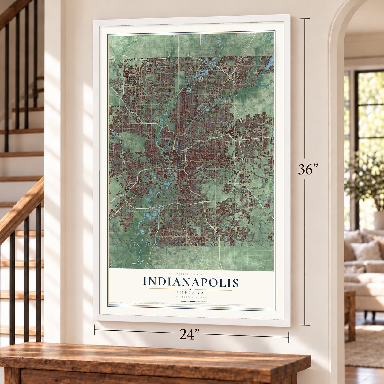
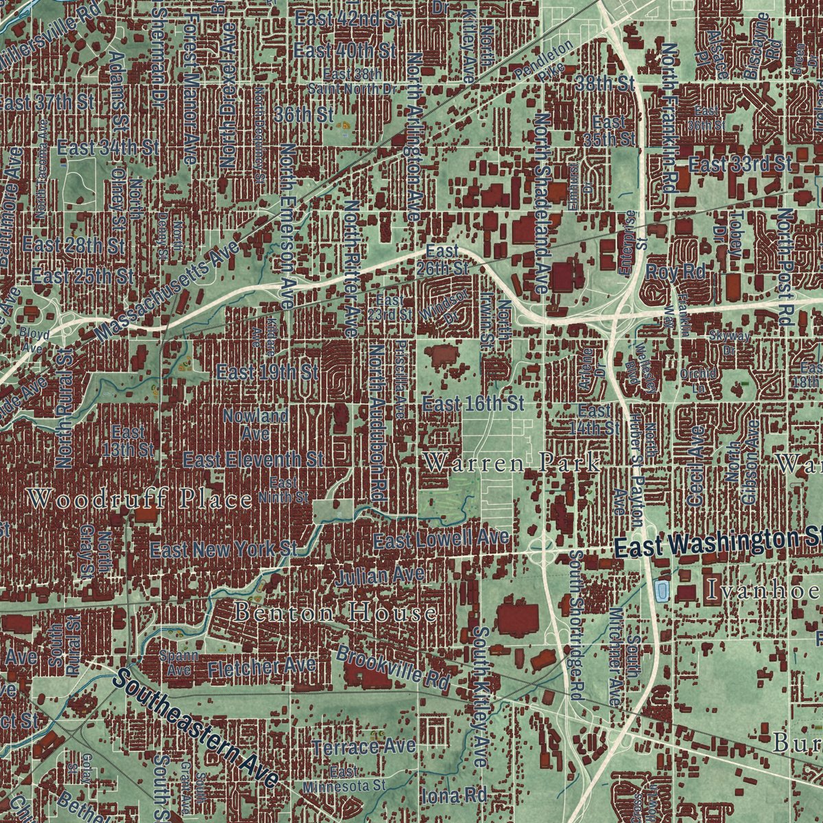
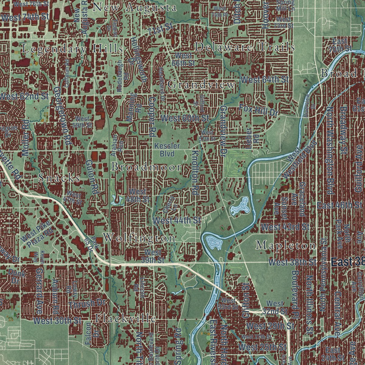
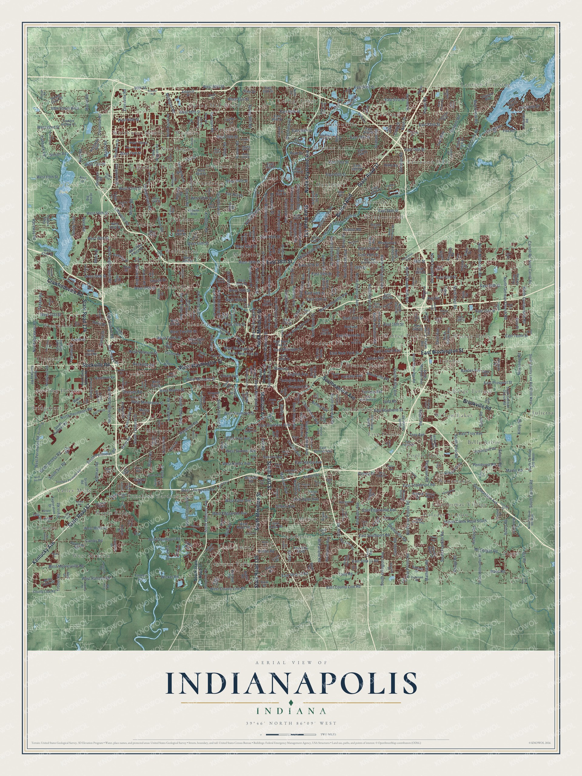
Explore Indianapolis, Indiana from a whole new perspective. Created using aerial imagery and detailed geographic data, this map captures Indianapolis building by building, with labeled streets, familiar landmarks, and shaded topographical relief that highlights the natural contours of the landscape.
Combining modern data with the timeless character of a vintage atlas, this map is just as interesting up close as it is beautiful on the wall. Whether you grew up in Indianapolis, spent memorable years there, or call it home today, this unique map is a great way to celebrate a place that means something to you. Zoom in on the preview to look for your street, and then order a print to put your memories on the wall.
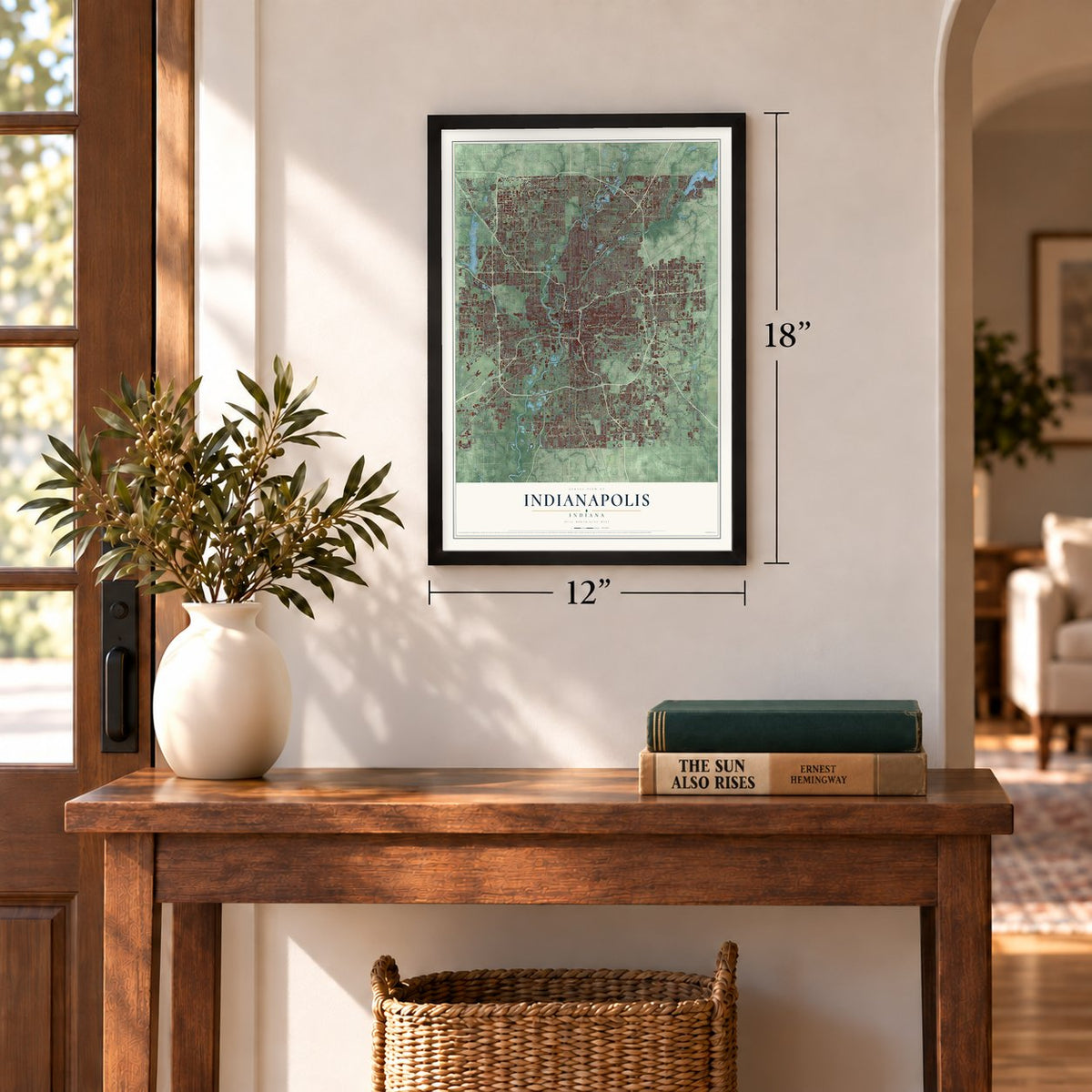
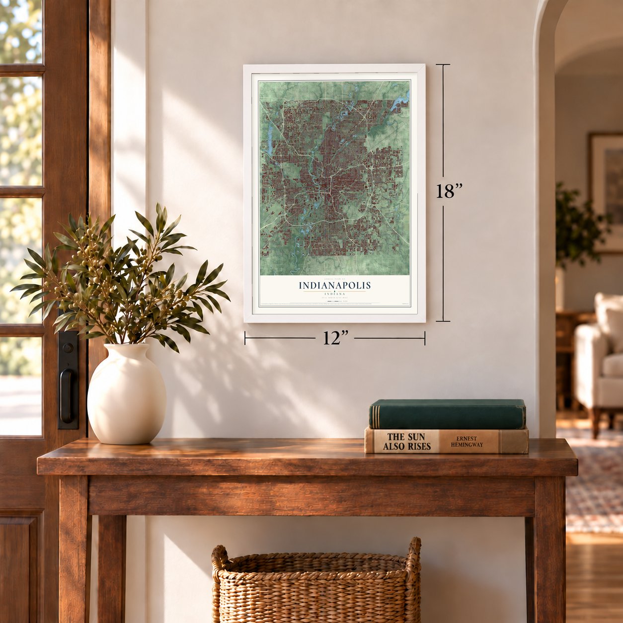
Three ways to hang it
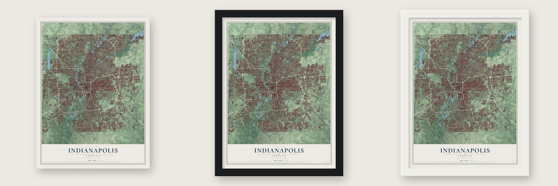
Unframed archival matte, a black wood frame or a white wood frame.
Up close
Geography Worth Displaying
This map was created using accurate cartographic data and authoritative geographic sources, including the U.S. Geological Survey and the Census Bureau. The map brings together terrain, waterways, roads, and building detail. The majority of the streets are labeled, houses are accurately depicted, and the topography is derived from government sources. Combining local data with carefully composed color and shading leads to this beautifully detailed Indianapolis artwork for your wall.
Rather than simply showing street outlines, we’ve included as many of the street names as we could reasonably fit on the map while keeping their names legible. Zoom in on the high resolution preview to see exactly what’s on the map. We truly set out to create a statement piece for anyone who loves Indianapolis. So whether it’s for you, or a gift for someone you love, we hope this map of Indianapolis brings back fond memories.
Read the story behind this map of Indianapolis, Indiana from 2026.
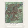
Find your street
Names on the Indianapolis map
Every name below is printed on this map. Look for your street, your school, the park where you played, or the pond down the road.
Places and landmarks57
- Eagle Creek Park
- Camby
- Brendonwood
- Southport
- Julietta
- Westwood
- Acton
- Westover
- Vertland
- Glenns Valley
- Mapleton
- Bridgeport
Show all 57 places
- College Crest
- Maywood
- Five Points
- Warren Park
- Belmont
- Sunshine Gardens
- Broad Ripple
- Lantern Crossing
- Flackville
- Valley Mills
- Warren Hills
- Benton House
- Belle Arbor
- Legendary Hills
- Sterling Heights
- Charlesmac Village
- Lynhurst
- Wolfington
- Woodruff Place
- Grandview
- Galader Station
- Greenbriar
- Lindenwood
- Perry Manor
- Millersville
- Broadmoor
- Allisonville
- Willow Lakes
- Burge Terrace
- Fairwood Hills
- Pleasant Acres
- Maple Ridge
- Sunnyview
- Glendale
- New Augusta
- Snacks
- Delaware Trails
- Spring Mill Woods
- Tremont
- Ivanhoe
- Wanamaker
- Poplar Grove
- Northwest Manor
- West Newton
- Dawnbury
Streets and roads652
- State Road 37
- State Road 67
- Kentucky Avenue
- West Washington Street
- East Washington Street
- Binford Boulevard
- North Meridian Street
- North Keystone Avenue
- State Road 431
- State Road 135
- South East Street
- South Meridian Street
- Rockville Road
- Brookville Road
- State Road 134
- Southeastern Avenue
- Crawfordsville Road
- East 38th Street
- Madison Avenue
- West 38th Street
- Lafayette Road
- East 30th Street
- East Thompson Road
- North College Avenue
- South Franklin Road
- East Tenth Street
- East 21st Street
- East Edgewood Avenue
- 38th Street
- East 96th Street
Show all 652 streets
- East Southport Road
- East 42nd Street
- East Raymond Street
- West 86th Street
- Shelby Street
- Emerson Avenue
- West Morris Street
- South Arlington Avenue
- Fall Creek Road
- East 86th Street
- Central Avenue
- East 46th Street
- East 16th Street
- Bluff Road
- North Shadeland Avenue
- South Harding Street
- North Illinois Street
- Michigan Road
- West Thompson Road
- West 79th Street
- East 34th Street
- Georgetown Road
- East 82nd Street
- West 56th Street
- Allisonville Road
- North Sherman Drive
- East Stop 11 Road
- West Tenth Street
- West Southport Road
- West 96th Street
- Massachusetts Avenue
- North Raceway Road
- South Keystone Avenue
- South High School Road
- North Rural Street
- Broadway Street
- East Michigan Street
- East 25th Street
- South Sherman Drive
- East 71st Street
- Guion Road
- South Carroll Road
- Shelbyville Road
- East County Line Road
- East 75th Street
- North Washington Boulevard
- North Capitol Avenue
- North Emerson Avenue
- West 62nd Street
- Mann Road
- North Arlington Avenue
- East 56th Street
- English Avenue
- West 46th Street
- South Tibbs Avenue
- East New York Street
- South State Avenue
- West 34th Street
- Guilford Avenue
- East Eleventh Street
- South Belmont Avenue
- West 21st Street
- West Minnesota Street
- Ralston Avenue
- East 79th Street
- West Raymond Street
- East 33rd Street
- East Hanna Avenue
- West Mooresville Road
- Moller Road
- East Troy Avenue
- South Lynhurst Drive
- North Mitthoefer Road
- South Post Road
- North High School Road
- West 71st Street
- Spring Mill Road
- North German Church Road
- West 16th Street
- West Epler Avenue
- Prospect Street
- East 65th Street
- North Audubon Road
- North Five Points Road
- North Ritter Avenue
- North Post Road
- East 37th Street
- Mc Gregor Road
- North Franklin Road
- West Vermont Street
- West Michigan Street
- Zionsville Road
- West Hanna Avenue
- West McCarty Street
- Senour Road
- Maze Road
- Oliver Avenue
- Tenth Street
- Dandy Trail
- Sargent Road
- Westfield Road
- Grandview Drive
- Boulevard Place
- Terrace Avenue
- Hague Road
- North Drexel Avenue
- East 19th Street
- West 30th Street
- East 91st Street
- West Ralston Road
- East Southern Avenue
- East 40th Street
- Cold Spring Road
- South Holt Road
- Troy Avenue
- Evanston Avenue
- McFarland Road
- Crittenden Avenue
- North Tibbs Avenue
- Foltz Street
- West Troy Avenue
- Acton Road
- West New York Street
- Churchman Avenue
- East Prospect Street
- Kingsley Drive
- Fletcher Avenue
- Indian Creek Road South
- Muessing Road
- Ditch Road
- East Epler Avenue
- East 28th Street
- Forest Manor Avenue
- Millersville Road
- Cooper Road
- Camby Road
- Carson Avenue
- Hickory Road
- North Alabama Street
- West Twelfth Street
- West 64th Street
- South Kitley Avenue
- 36th Street
- Hoover Road
- Knollton Road
- Trotter Road
- West County Line Road
- West 43rd Street
- Graham Road
- Adams Street
- West 29th Street
- North Harding Street
- West 65th Street
- Moore Road
- River Road
- North Perimeter Road
- West 82nd Street
- Combs Road
- Primrose Avenue
- West Mills Road
- Flynn Road
- Brill Road
- Lake Road
- Tansel Road
- West Perimeter Road
- North Cumberland Road
- West Edgewood Avenue
- Fisher Road
- Harcourt Road
- 96th Street
- Raceway Road
- Gray Road
- Reed Road
- West 84th Street
- Lexington Avenue
- Rawles Avenue
- Johnson Road
- Davis Road
- Wicker Road
- East 80th Street
- West 44th Street
- 71st Street
- South Perimeter Road
- Fox Hill Drive
- Fishback Road
- Five Points Road
- Columbia Avenue
- Old Stone Drive
- South Concord Street
- Radnor Road
- West Sumner Avenue
- Baltimore Avenue
- Beachway Drive
- East Riverside Drive
- Mud Creek Road
- 88th Street West
- West 25th Street
- East Lowell Avenue
- Julian Avenue
- Pentecost Road
- Gilbert Avenue
- High School Road
- Crestview Avenue
- Ferguson Road
- Bethel Avenue
- Hovey Street
- West 91st Street
- South Svc Road
- Craig Street
- West 60th Street
- Clifton Street
- Cecil Avenue
- Kollman Road
- Marlin Road
- Kitley Road
- West 74th Street
- Bash Street
- Wilson Road
- North Access Road
- Rand Road
- Miley Avenue
- Farley Drive
- Executive Drive
- Maywood Road
- East Stop 12 Road
- Teel Way
- Ruth Drive
- Victory Drive
- Transfer Drive
- Corporate Drive
- Conarroe Road
- Mathews Road
- Knapp Road
- Todd Road
- Fox Road
- Marsh Road
- Noel Road
- Carroll Road
- Dix Road
- Doris Drive
- Gerrard Avenue
- Chelsea Road
- Bates Street
- Griffin Road
- Iona Road
- Roy Road
- Thrush Drive
- Pine Drive
- Shore Drive
- Oak Drive
- Orly Drive
- South State Road 37
- North Pennsylvania Street
- North Park Avenue
- North Olney Street
- Winthrop Avenue
- East 13th Street
- West 52nd Street
- North New Jersey Street
- North Oxford Street
- West 42nd Street
- Hillside Avenue
- East 17th Street
- Lesley Avenue
- South County Line Road 800 West
- Graceland Avenue
- Dean Road
- Country Club Road
- East Saint Clair Street
- South Raceway Road
- East Banta Road
- West Banta Road
- Vandergriff Road
- West Ray Street
- Harlan Street
- Villa Avenue
- East 14th Street
- Bridgeport Road
- South Rural Street
- South Mitthoeffer Road
- East 35th Street
- East 24th Street
- National Avenue
- East 77th Street
- South German Church Road
- East Sumner Avenue
- South Hunter Road
- Nowland Avenue
- West Saint Clair Street
- South County Road 800 West
- West 32nd Street
- East 61st Street
- Manning Road
- South Walcott Street
- Meadowlark Drive
- North Kitley Avenue
- South Ritter Avenue
- Woodland Drive
- South Capitol Avenue
- South West Street
- County Line Road
- Tulip Drive
- South Shortridge Road
- East 45th Street
- Fall Creek Parkway North Drive
- North Carroll Road
- Rahke Road
- Howard Street
- Big Pine Drive
- East Ohio Street
- Iowa Street
- Hollingsworth Drive
- East 70th Street
- East Brookside Avenue
- Redfern Drive
- West 39th Street
- Eastern Avenue
- South Hoffman Road
- Olive Street
- Lieber Road
- Payton Avenue
- East 81st Street
- West 78th Street
- Cossell Road
- East Stop 10 Road
- West 17th Street
- Mars Hill Street
- East 69th Street
- Indiana Avenue
- Tibbs Avenue
- Masters Road
- North Gibson Avenue
- East 67th Street
- Crystal River Drive
- Hearthstone Way
- Waterway Boulevard
- Falcon Drive
- East 26th Street
- West 66th Street
- Stones River Drive
- Gateway Drive
- Courageous Drive
- Railroad Road
- North Payne Road
- West Westfield Boulevard
- Olin Avenue
- South Mitchner Avenue
- New Augusta Road
- Cordova Drive
- Woods Bay Lane
- Prairie View Drive
- West 48th Street
- Knue Road
- Arbor Avenue
- Gambel Road
- Auburn Road
- Biscayne Road
- Shanghai Road
- North Gray Street
- Scott Road
- Production Drive
- East 84th Street
- Prairie Depot
- Westdrum Road
- Exploration Drive
- Kellum Drive
- Leeward Boulevard
- Samuel Drive
- West Pike Plaza Road
- Mimosa Lane
- Sunset Avenue
- Drover Street
- Kessler Boulevard
- Kidwell Drive
- Gent Avenue
- Reynolds Road
- Ireland Drive
- Hythe Road
- Brown Road
- North Irwin Street
- Belle Union Drive
- Bryan Drive
- Potters Pike
- Oaklandon Road
- Cherry Lake Road
- Nora Lane
- Normandy Boulevard
- River Avenue
- Pappas Drive
- Traders Hollow Lane
- Mecca Street
- East 74th Place
- Dunk Drive
- Holt Road
- Siear Terrace
- Stones Ferry Road
- East 95th Street
- Kelly Lane
- Amherst Street
- Maxwell Road
- Daffon Drive
- East 62nd Place
- Davis Drive
- Tybalt Lane
- Qta Road
- West Lake Road
- Allen Avenue
- Palmyra Drive
- Alan Drive
- Annex Drive
- Dixie Drive
- Mutz Drive
- Cox Road
- Tobey Drive
- Turner Avenue
- Miles Drive
- Baker Drive
- Vera Drive
- Alsace Place
- Tanza Road
- Gate Drive
- Darby Lane
- Voigt Drive
- Andy Drive
- Susy Lane
- Acre Lane
- Leo Drive
- South Delaware Street
- Carrollton Avenue
- Kessler Boulevard North Drive
- East Minnesota Street
- East Ninth Street
- East 23rd Street
- East 18th Street
- Township Line Road
- West 59th Street
- Lincoln Road
- East 54th Street
- Rosslyn Avenue
- Priscilla Avenue
- Lawrence Avenue
- Camden Street
- Dawson Street
- South Taft Avenue
- West 33rd Street
- North County Road 900 West
- West 73rd Street
- North Kenmore Road
- Spann Avenue
- Arabian Run
- Lantern Road
- Tincher Road
- Keystone Crossing
- Southern Perimeter Road
- Winston Drive
- Northeastern Avenue
- McFarland Boulevard
- Emily Drive
- South Pershing Avenue
- West 76th Street
- Hayworth Road
- Wildwood Farms Boulevard
- West 47th Street
- North East Street
- Rodebaugh Road
- Enterprise Street
- East 38th Saint North Drive
- North Huber Street
- Pendleton Pike
- Intech Boulevard
- Morgantown Road
- Knox Street
- Skipping Stone Drive
- South Sigsbee Street
- Copeland Road
- Pierson Drive
- Wildcat Run Lane
- Riva Ridge Drive
- Aqueduct Street
- Hobart Road
- Castleton Boulevard
- Fairfax Road
- Pipestone Drive
- Linden Drive
- West Gimber Street
- Decatur Cmns
- Pilgrim Drive
- Blackstone Drive
- East Payne Road
- Avalon Lane
- Harding Court
- Lowry Road
- Pagoda Drive
- Spring Mill Lane
- Byrd Drive
- Windsor Drive
- Hadway Drive
- Fairlane Drive
- Louise Avenue
- Park 65 Drive
- Lewis Street
- Bay Road South Drive
- Ridge Hill Drive
- Cherry Lane
- Amarillo Drive
- Naab Road
- Uptown Drive
- Astor Street
- Rooses Way
- Coach Road
- Kintz Drive
- Powell Road
- Powell Drive
- Narita Road
- Arlene Drive
- Rhone Terrace
- Rixon Avenue
- Kissel Road
- Solun Road
- Fall Drive
- Lava Lane
- South Girls School Road
- North Tacoma Avenue
- North Dequincy Street
- Bertha Street
- North Denny Street
- East 36th Street
- Decatur Boulevard
- West Henry Street
- Collier Street
- Riverview Drive
- Stanley Road
- Winfield Avenue
- West 27th Street
- South Missouri Street
- South Linwood Avenue
- Furnas Road
- Marrison Place
- Coffman Road
- West 57th Street
- Waldemere Avenue
- South Grant Avenue
- North Village Way
- Perimeter Road
- Lansdowne Road
- Sunset Ridge Parkway
- Hazelhatch Drive
- Elmhurst Drive
- Paddock Road
- Bade Road
- Mariner Way
- Robison Road
- Preservation Drive
- North Svc Road
- Norton Avenue
- Plaza Drive
- Whitaker Valley Boulevard
- Frontage Road
- Ida Street
- South Auburn Street
- Bloyd Avenue
- Castle Avenue
- Alice Avenue
- Kildare Avenue
- Fullerton Drive
- Wellesley Boulevard
- Stansted Drive
- Shorewood Drive
- Martha Street
- Breen Drive
- Superior Road
- Paris Avenue
- Kimlough Drive
- The River Lane
- Hemingway Drive
- Kevin Way
- Bayhead Drive
- North 25th Avenue
- Hatfield Drive
- Island Club Drive
- Hanover Drive
- Brandt Road
- Redland Lane
- Bixler Road
- Clearvista Drive
- Long River Lane
- Cross Willow Lane
- Shasta Drive
- Jordan Road
- Greyridge Boulevard
- Walnut Drive
- Fields Drive
- Deer Run Drive
- Holliday Lane
- Tappan Drive
- Twig Place
- Franklin Way
- Golay Street
- Oaknoll Drive
- Rapp Drive
- Skyway Drive
- Monteo Drive
- Gifford Street
- West 74th Place
- Manita Drive
- Buck Trail Road
- Lappin Court
- Pippen Place
- Ambry Way
- Carica Drive
- Orchid Lane
- Mary Drive
- Duane Drive
- Belfry Way
- Kerry Drive
- Baker Road
- Webb Drive
- Habig Road
- Paul Drive
- Beryl Road
- Rob Lane
- Pele Place
Names are listed as they appear on the printed map. Zoom into the product photos to find them.
About Indianapolis city (balance), Indiana
From the Cultural Landscape Foundation: "The first train connected Madison, Indiana, on the Ohio River, with Indianapolis in 1847, the same year the city received its formal charter."
Keep exploring Indiana
Indianapolis is one of 1,023 Indiana towns we've mapped. Every dot on the map is a print of its own.
The search covers every state, Indiana first.
Near Indianapolis
Order 2 or more town maps and save 10%. Shown in the size and finish you picked above, so they hang as a set.
- Old Northside 12" x 18" / Archival Matte Print $39.99
- Woodruff Place 12" x 18" / Archival Matte Print $39.99
- Fall Creek Place 12" x 18" / Archival Matte Print $39.99
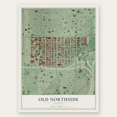
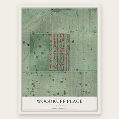
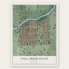
More maps nearby: Little Flower, Irvington, Meridian Kessler, Spring Hill and University Heights.
The art of mapping a place
How This Map Was Made
Real places. Remarkable detail. Discover the layers that turn geographic data into a map of home.

The view from above
Aerial imagery reveals the character of the land: woodland, open fields, and the patterns of a place.

The shape of the land
Elevation data brings hills, valleys, and subtle changes in the landscape into view.

The details of home
Roads, waterways, and building footprints come together to make the map feel unmistakably local.

Geography becomes art
Considered color, shading, and typography bring the layers together in a map made for your wall.


Process illustrated with Mendon, Massachusetts. Aerial imagery: USDA NAIP. Terrain: USGS 3D Elevation Program. Map details and finished artwork: KNOWOL.
The Details
About This Print
Choose an archival matte print, or a black or white Ayous wood frame. The archival matte print is unframed.
Select your size and finish above to see the matching product image and price.
Materials & Craftsmanship
A contemporary map with the character of a classic atlas, printed on archival matte paper. Optional frames are made from Ayous wood.
Your printed map does not include the watermark shown in the full-map preview.
Shipping & Delivery
Free shipping within the United States. Every print is made to order in the USA.
Buying a gift? Add a note in your cart and we'll include it. We never put prices in the package.
Prints ship within 2 to 3 business days. Allow 7 to 10 days total from ordering for delivery. Timing may vary during holidays or periods of high order volume.
Read our shipping policy.
Returns and damaged prints
Each print is made to order. Change-of-mind refunds are not available after production.
If your print arrives damaged, misprinted or incorrect, contact support@knowol.com within 30 days of receiving it. Include your order number, photos and a description of the issue.
Read our full refund and replacement policy. For questions about your order, email support@knowol.com.