


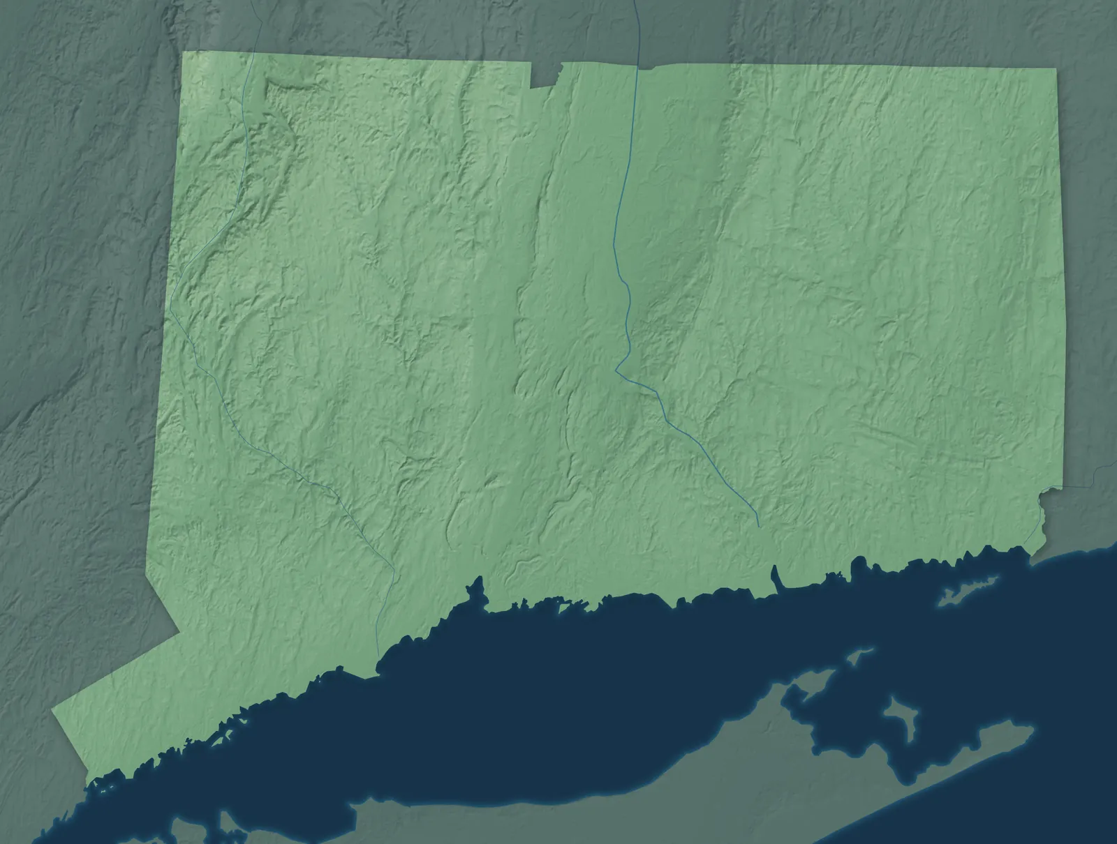
Connecticut Town Maps A to Z
All 382 town maps. Each one opens its own page with the whole map.
Find your town
We make detailed maps of towns across the country, the way they look today. Type your town or city to see its map.
Browse by State
- Alabama
- Alaska
- American Samoa
- Arizona
- Arkansas
- California
- Colorado
- Delaware
- Florida
- Georgia
- Guam
- Hawaii
- Idaho
- Illinois
- Indiana
- Iowa
- Kansas
- Kentucky
- Louisiana
- Maine
- Maryland
- Massachusetts
- Michigan
- Minnesota
- Mississippi
- Missouri
- Montana
- Nebraska
- Nevada
- New Hampshire
- New Jersey
- New Mexico
- New York
- North Carolina
- North Dakota
- Northern Mariana Islands
- Ohio
- Oklahoma
- Oregon
- Pennsylvania
- Puerto Rico
- Rhode Island
- South Carolina
- South Dakota
- Tennessee
- Texas
- U.S. Virgin Islands
- Utah
- Vermont
- Virginia
- Washington
- Washington, D.C.
- West Virginia
- Wisconsin
- Wyoming




Ball Pond, Connecticut Map Art

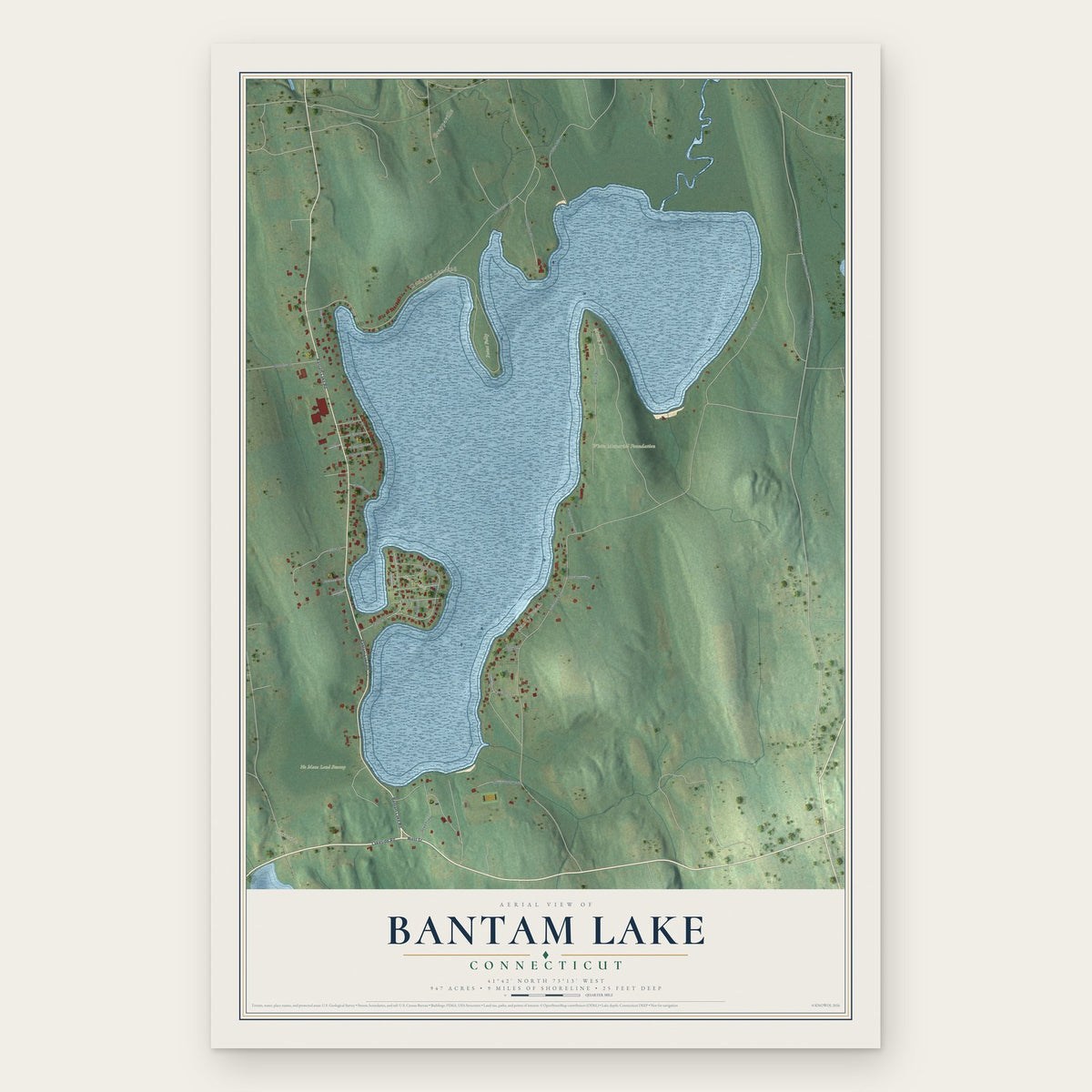
Bantam Lake, Connecticut Map Art

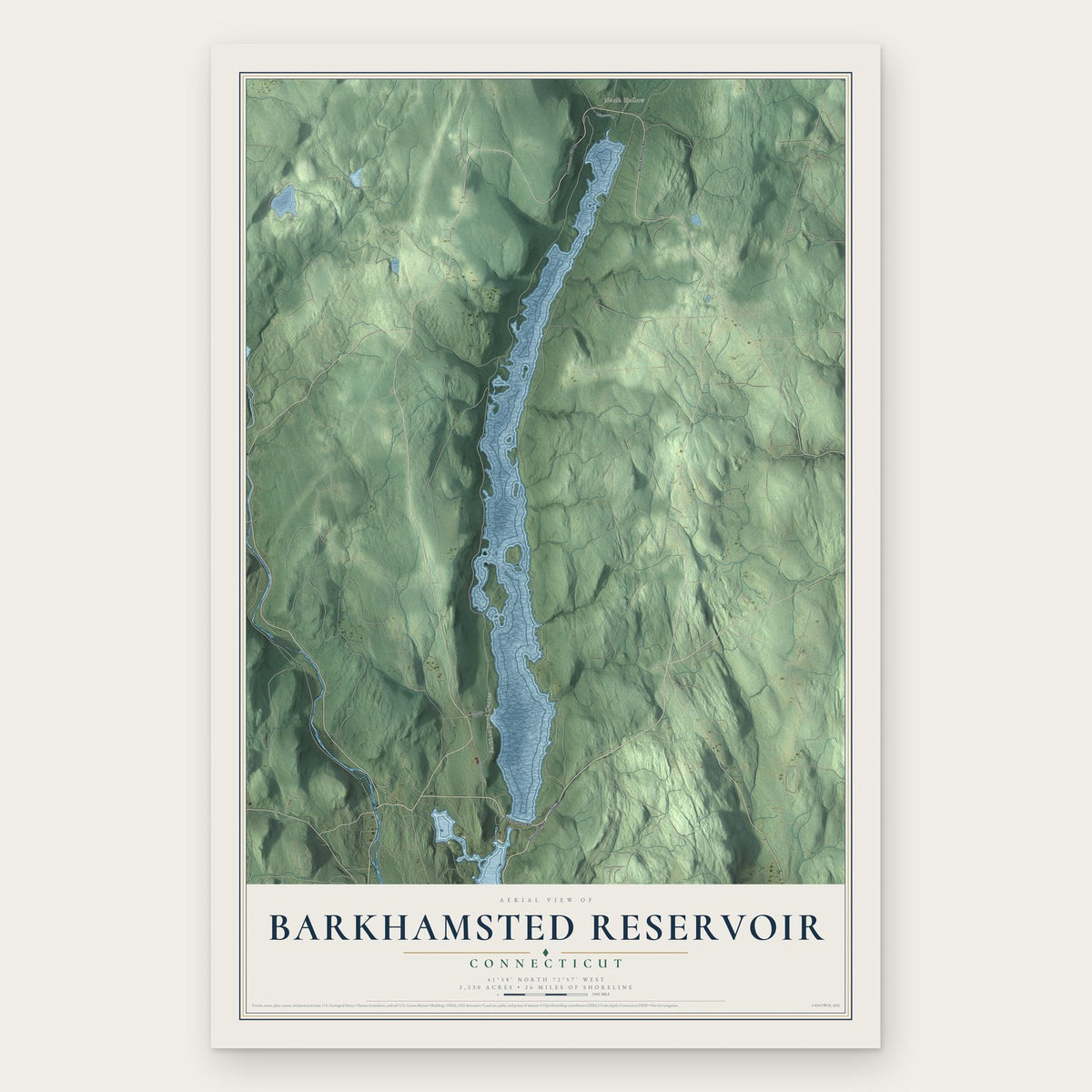

Barkhamsted, Connecticut Map Art

Beacon Falls, Connecticut Map Art

Beaver Hills, Connecticut Map Art


Bethlehem Village, Connecticut Map Art
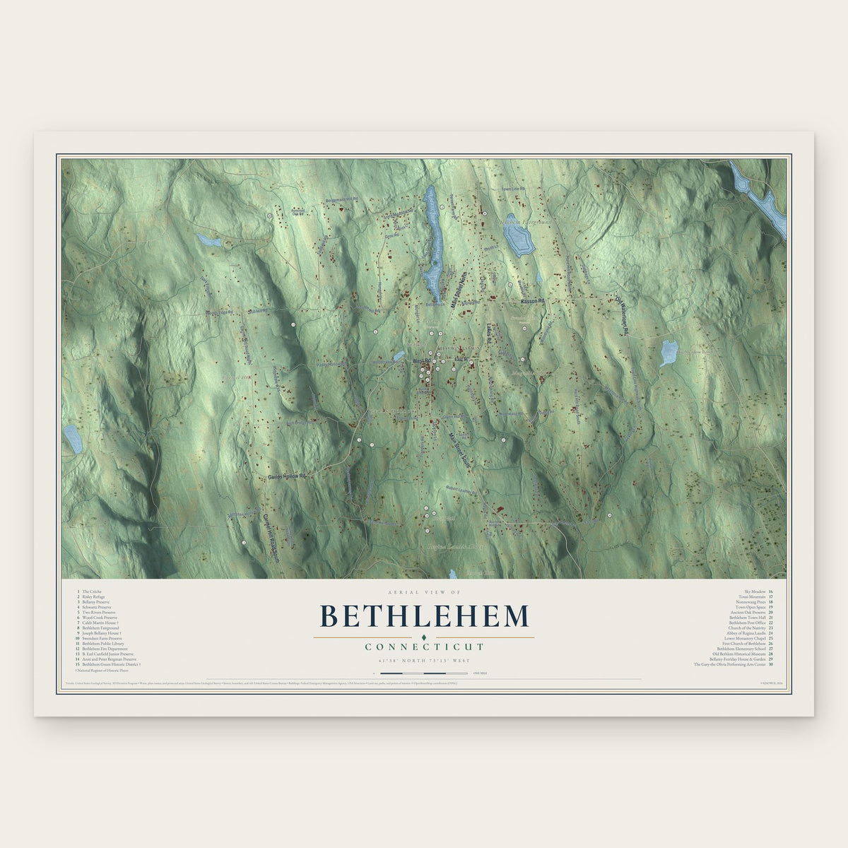
Bethlehem, Connecticut Map Art

Bigelow Corners, Connecticut Map Art

Black Rock, Connecticut Map Art

Bloomfield, Connecticut Map Art

Blue Hills, Connecticut Map Art
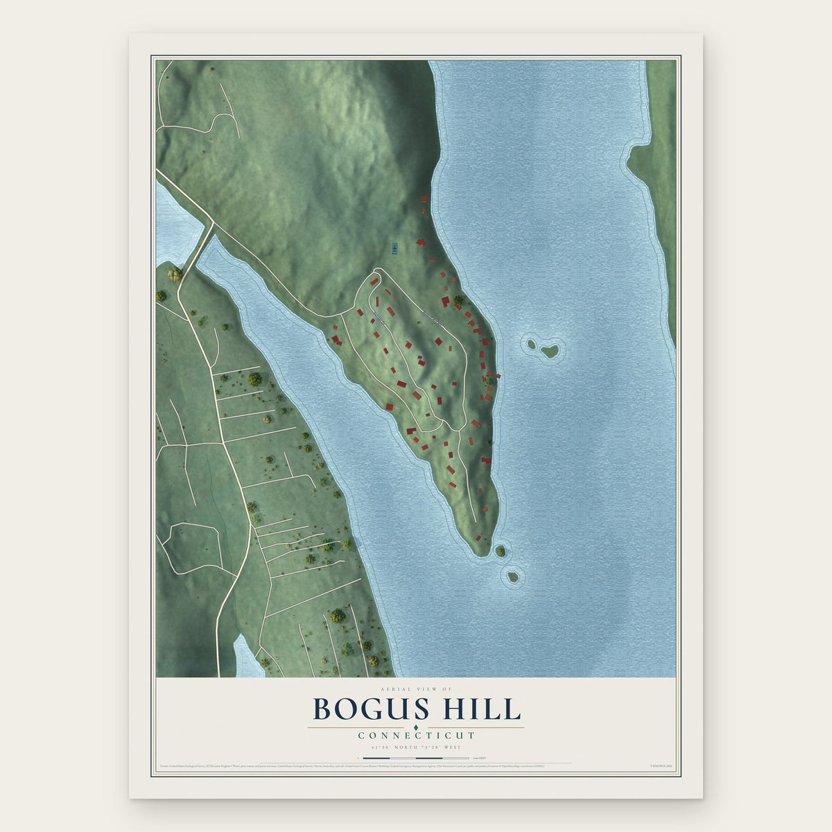
Bogus Hill, Connecticut Map Art


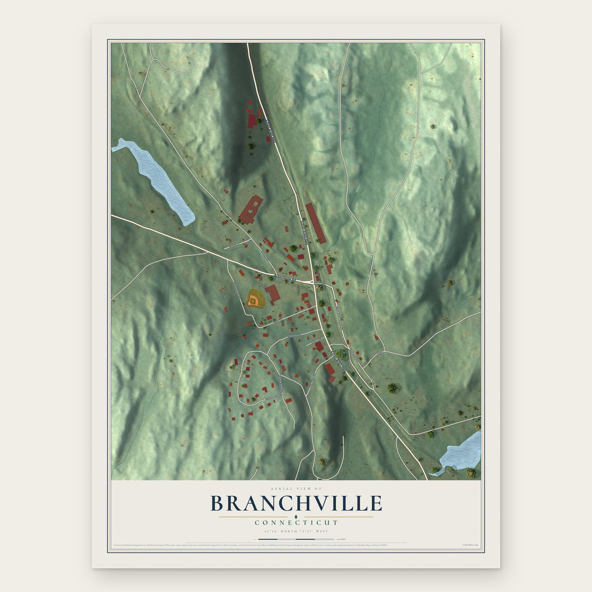
Branchville, Connecticut Map Art

Branford Center, Connecticut Map Art
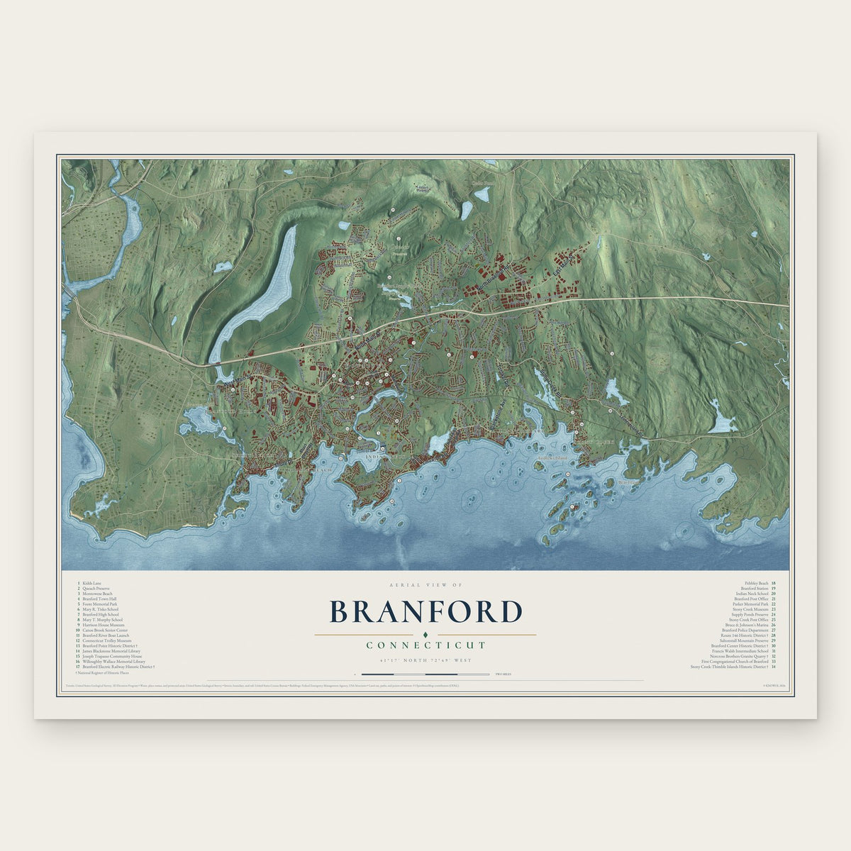

Bridgeport, Connecticut Map Art

Bridgewater, Connecticut Map Art


Broad Brook, Connecticut Map Art

Brookfield Center, Connecticut Map Art
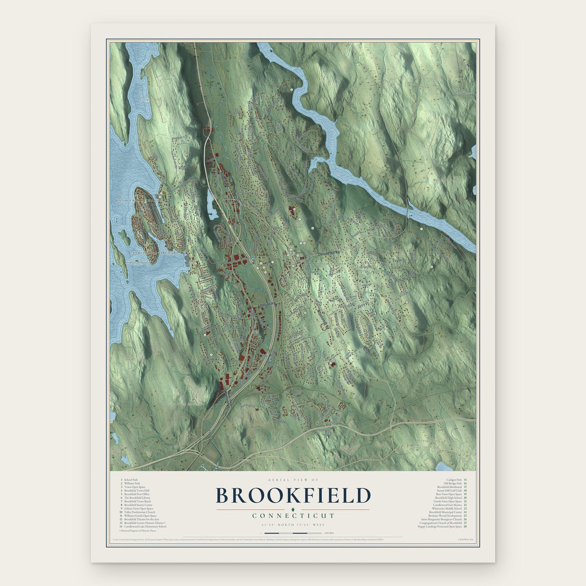
Brookfield, Connecticut Map Art


Burlington, Connecticut Map Art


Candlewood Isle, Connecticut Map Art

Candlewood Knolls, Connecticut Map Art

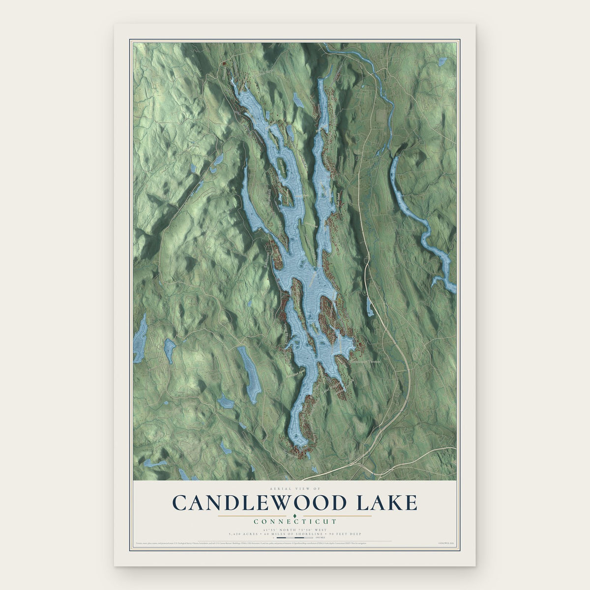
Candlewood Lake, Connecticut Map Art

Candlewood Orchards, Connecticut Map Art

Candlewood Shores, Connecticut Map Art

Cannondale, Connecticut Map Art

Canterbury, Connecticut Map Art