
Search for another town



Free U.S. delivery 7 to 10 days after you order
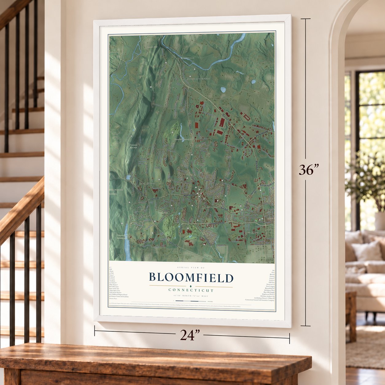
Bloomfield, Connecticut Map Art
Building by building, with labeled streets and shaded relief.
12" x 18" Archival Matte Print
A Map of Home. A Work of Art.
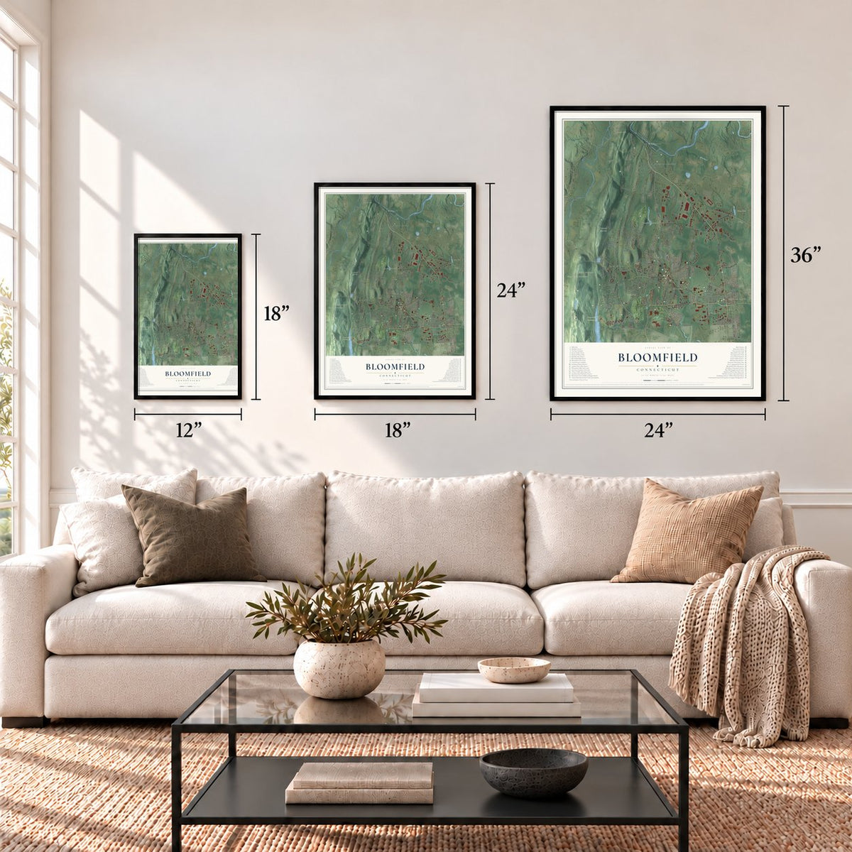
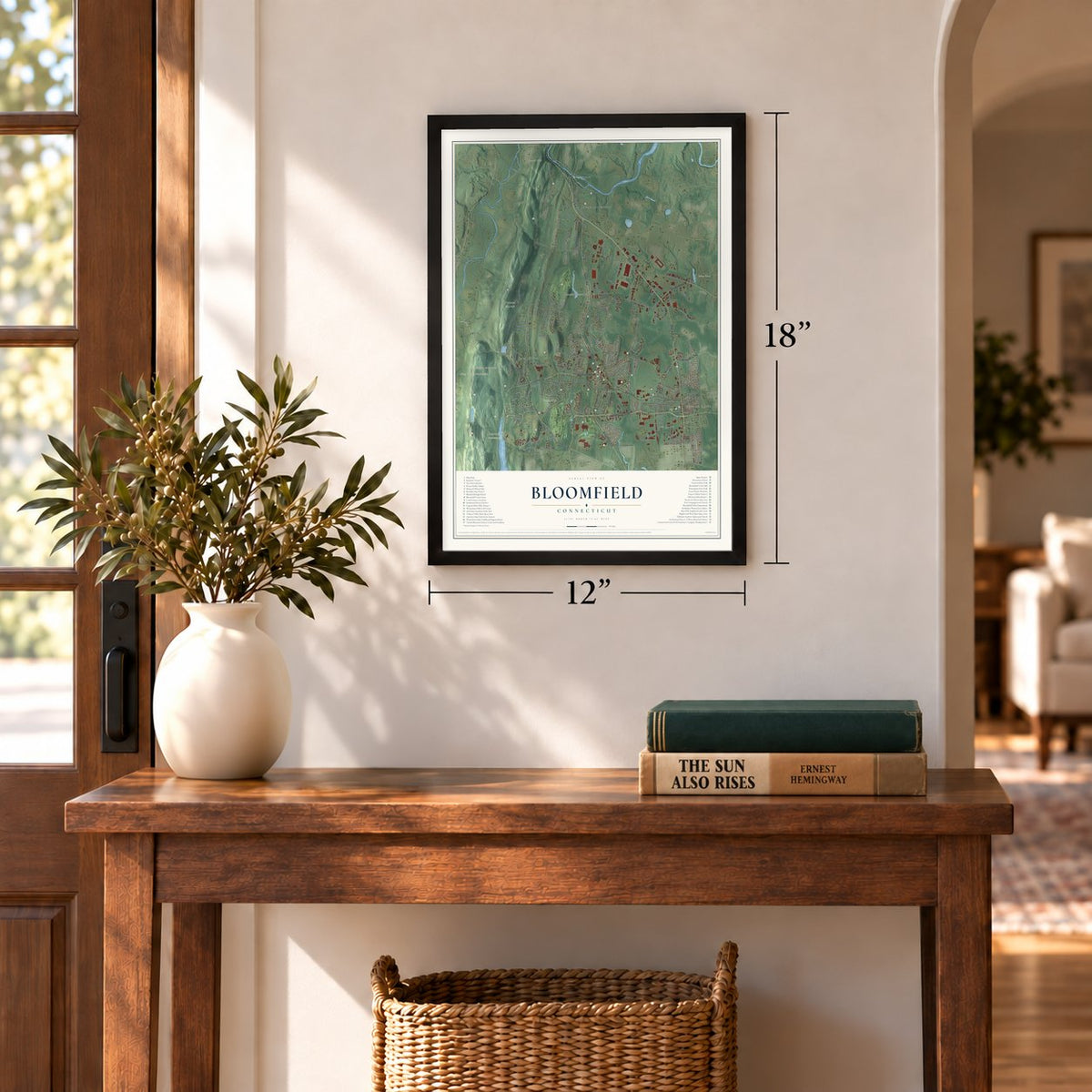
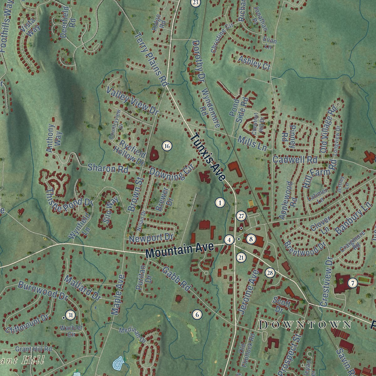
Explore Bloomfield, Connecticut from a whole new perspective. Created using aerial imagery and detailed geographic data, this map captures Bloomfield building by building, with labeled streets, familiar landmarks, and shaded topographical relief that highlights the natural contours of the landscape.
Combining modern data with the timeless character of a vintage atlas, this map is just as interesting up close as it is beautiful on the wall. Whether you grew up in Bloomfield, spent memorable years there, or call it home today, this unique map is a great way to celebrate a place that means something to you. Zoom in on the preview to look for your street, and then order a print to put your memories on the wall.

Three ways to hang it
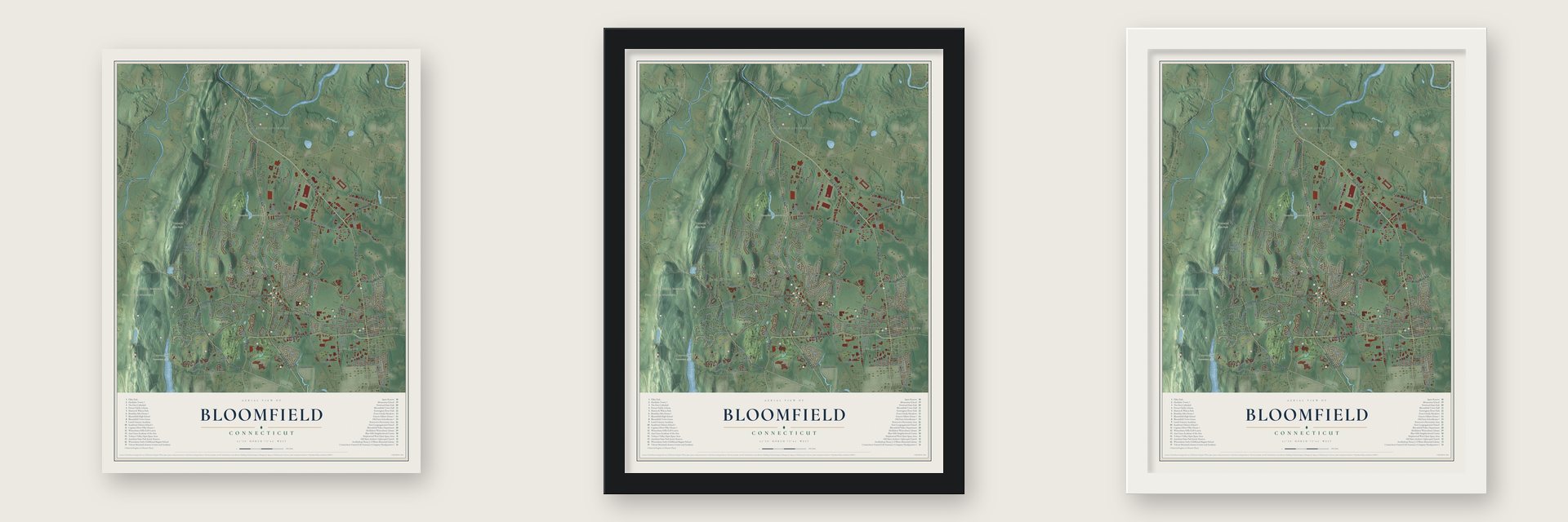
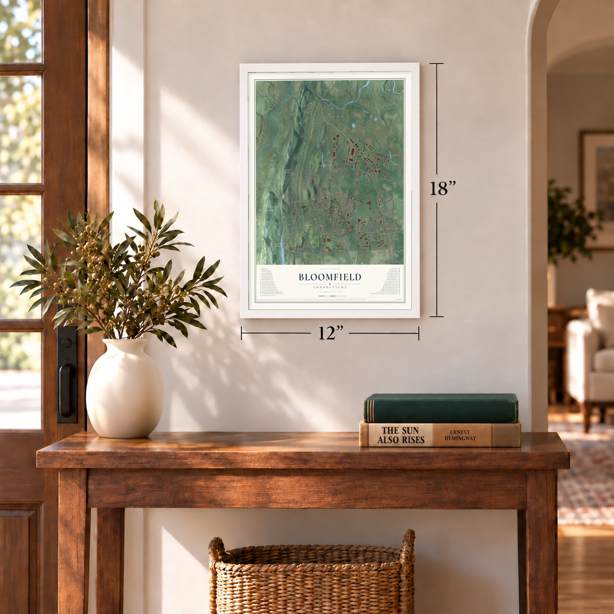
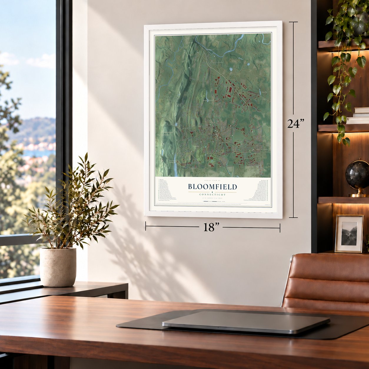
Unframed archival matte, a black wood frame or a white wood frame.
Up close
Geography Worth Displaying
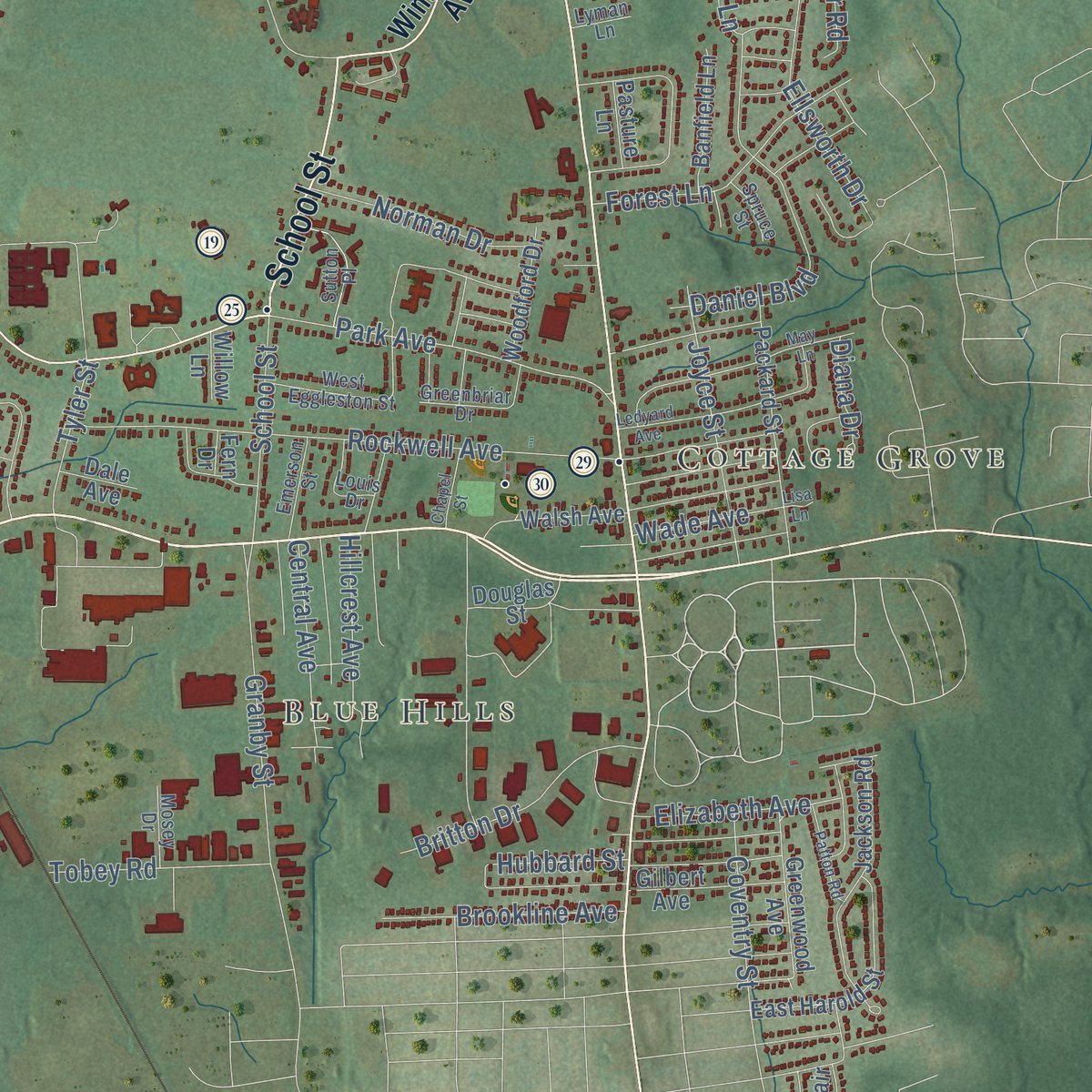
This map was created using accurate cartographic data and authoritative geographic sources, including the U.S. Geological Survey (USGS) and FEMA. The map brings together terrain, waterways, roads, and building detail. The majority of the streets are labeled, houses are accurately depicted, and the topography is derived from government sources. Combining local data with carefully composed color and shading leads to this beautifully detailed Bloomfield artwork for your wall.
Rather than simply showing street outlines, we’ve included as many of the street names as we could reasonably fit on the map while keeping their names legible. Zoom in on the high resolution preview to see exactly what’s on the map. We truly set out to create a statement piece for anyone who loves Bloomfield. So whether it’s for you, or a gift for someone you love, we hope this map of Bloomfield brings back fond memories.
Explore the full map of Bloomfield, Connecticut and read about the local places it shows.

Find your street
Names on the Bloomfield map
Every name below is printed on this map. Look for your street, your school, the park where you played, or the pond down the road.
Places and landmarks13
- Downtown
- Blue Hills
- Cottage Grove
- Grant Hill
- King Phillip Mountain
- Laurel Hill
- Little Phillip Mountain
- Barber Pond
- Penwood State Park
- Reservoir 6 Recreation Area
- North Bloomfield
- Case Corner
Show all 13 places
- Spoonville
Streets and roads222
- Bloomfield Avenue
- Cottage Grove Road
- Mountain Avenue
- School Street
- Blue Hills Avenue
- Loeffler Road
- Tunxis Avenue
- Old Windsor Road
- Simsbury Road
- Park Avenue
- Hall Boulevard
- East Wintonbury Avenue
- West Dudley Town Road
- Duncaster Road
- Woodland Avenue
- Terry Plains Road
- West Newberry Road
- Wintonbury Avenue
- Hoskins Road
- Adams Road
- Maple Avenue
- Tariffville Road
- Filley Street
- Old Poquonock Road
- Rockwell Avenue
- Burnwood Drive
- Kenwood Circle
- Brown Street
- Gun Mill Road
- Wadhams Road
Show all 222 streets
- Burr Road
- East Dudley Town Road
- Granby Street
- Thistle Pond Drive
- Daniel Boulevard
- Foothills Way
- Mountain Road
- Auer Farm Road
- Prospect Street
- Ellsworth Drive
- Coventry Street
- Mills Lane
- Gabb Road
- Stuart Drive
- Juniper Road
- Sharon Road
- Cadwell Road
- Jerome Avenue
- Crestview Drive
- East Newberry Road
- High Hill Road
- Joyce Street
- Britton Drive
- High Wood Road
- Newport Drive
- Linwood Drive
- Savin Road
- Peters Road
- Privilege Road
- Balbrae Drive
- Brookline Avenue
- Milburn Drive
- Banbury Lane
- Maple Edge Drive
- Bay Hill Drive
- Cold Spring Drive
- Norman Drive
- Old Iron Ore Road
- Still Road
- Hillcrest Avenue
- Walker Lane
- Central Avenue
- Hill Farm Road
- Tobey Road
- Valley View Drive
- Alexander Road
- Guilmartin Road
- Bear Ridge Drive
- West Street
- Pent Road
- Belden Road
- Elizabeth Avenue
- Mucko Road
- Duncaster Lane
- Dorothy Drive
- Briar Lane
- Hampton Lane
- Arnold Drive
- Croydon Drive
- Skinner Drive
- Penwood Road
- Southwood Drive
- Barn Hill Road
- Forest Lane
- Hubbard Street
- Mallard Drive
- Lincoln Terrace
- Downing Circle
- Tyler Street
- Habitat Lane
- Wade Avenue
- Oak Lane
- Walts Hill
- Diana Drive
- Stone Hill
- Ivory Road
- Kenmore Road
- Ryefield Hollow Drive
- Cliffmount Drive
- Douglas Street
- Vista Way
- Gale Road
- Jackson Road
- Packard Street
- Griffin Road South
- East Harold Street
- Richard Lane
- Highland Park Drive
- Brentwood Drive
- Rundelane
- Scott Drive
- Deerfield Road
- Greenwood Avenue
- Beaudry Lane
- Applewood Road
- Goodman Street
- Guernsey Road
- Worthington Drive
- Old Village Road
- Springwood Lane
- Walsh Avenue
- Brewer Drive
- Gilbert Avenue
- Banfield Lane
- Revere Drive
- Jolley Drive
- Wynfield Lane
- Woodford Drive
- Pinney Road
- Wyndemere Road
- Julie Lane
- Sherman Way
- Pond Side Road
- Puritan Drive
- Clover Lane
- Oliver Way
- Tower Avenue
- Overbrook Farm Road
- Crystal Lane
- Mayfair Road
- Rescue Lane
- Watkins Road
- Boysen Drive
- Ashley Court
- Harvest Lane
- Woods Road
- Silo Way
- Anthony Way
- Fern Drive
- Pasture Lane
- April Way
- Dale Avenue
- Beacon Hill Drive
- Willow Lane
- Birch Road
- Avery Road
- Fox Chase Road
- Blue Hills Avenue Extended
- Northwood Drive
- Grant Hill Road
- West Eggleston Street
- Barry Circle
- Brighton Park Way
- Sutton Place
- Craigmore Road
- Christine Circle
- Kristins Way
- Butternut Drive
- Pebble Beach Road
- Old Flintlock Road
- Medinah Drive
- Essex Lane
- Emerson Street
- McCormick Place
- Greenbriar Drive
- Louis Drive
- Wesleyan Terrace
- Jonathan Place
- Winged Foot Boulevard
- Mosey Drive
- Cyrus Lane
- Latimer Lane
- Spruce Street
- Warbler Circle
- Lyman Lane
- Sylvan Way
- Evan Lane
- Ridge Road
- Utley Road
- Reservoir Road
- Tunxis Avenue Extended
- Ledyard Avenue
- Capewell Drive
- Nolan Drive
- Chestnut Hill Drive
- Longview Drive
- South Barn Hill Road
- West Lane
- South Ridge Drive
- Scotland Road
- Francis Way
- Patton Road
- Countryview Drive
- May Lane
- Larensen Ridge
- Chapel Street
- Lynn Circle
- Jeffrey Lane
- East Lane
- Barber Pond Road
- Alice Drive
- Lisa Lane
Names are listed as they appear on the printed map. Zoom into the product photos to find them.
About Bloomfield, Connecticut
Bloomfield is a town of 21,535 people in Hartford County, the largest count in its history. The Poquonock people lived here before English settlers arrived in 1660, when the land belonged to Windsor. In 1736 the farm families were set off as the Parish of Wintonbury, a name pieced together from Windsor, Farmington and Simsbury, the three towns that gave up land for it.
The parish ordained Rev. Hezekiah Bissell in 1738 to serve sixty-five families, and he stayed for 45 years. By 1802 Wintonbury had 176 houses, four taverns and a new gin distillery, and its farmers sold wood, hay and casks in Hartford. On May 28, 1835, the General Assembly made the parish a town, and it took the name Bloomfield at the suggestion of Francis Gillette. Farms, many of them growing shade tobacco, covered the town until the 1950s, when new suburban neighborhoods spread out from Hartford.
“every farmer had a road of his own to Hartford”
- Squirrels in the meetinghouseWintonbury's first meetinghouse was a plain, unpainted building with no steeple. Swallows nested in its rafters, and squirrels were so thick that the pulpit cushions spent the week at the tavern. When the old building began falling apart, the parish put up a new church, holding services under four great oaks while the work went on. It was dedicated on December 6, 1801, and every pew was filled.
- The man who named BloomfieldFrancis Gillette, son of the Baptist elder Ashbel Gillet, went to Yale, but weak lungs ended his law studies and he came home to farm. In 1833 he built a fieldstone house on the Hartford road. A leading Connecticut abolitionist, he sheltered people escaping slavery there, an account dating from at least 1886. He reached the U.S. Senate in 1854 in time to vote against the Nebraska Bill. The Francis Gillette House joined the National Register in 1982.
- A brick school from 1795The Old Farm Schoolhouse, also called the Brick School, was one of seven district schools the parish built in the late 1700s, and it is the oldest public building left in Bloomfield. Children studied there until 1922, and an American Legion post used it from 1931 to 1971. In 1976 it was moved a short way when the intersection was realigned. It is now a historical society museum, and it joined the National Register in 1972.
- David Grant's stone schoolIn 1858 the farmer David Grant built the Southwest District School on Simsbury Road, a one-room schoolhouse of locally quarried stone for the farm families of southwest Bloomfield. Classes ended there in 1922 or 1923, as Bloomfield shut down the last of its district schools. The Wintonbury Historical Society owns it today, and it joined the National Register in 1992.
Keep exploring Connecticut
Bloomfield is one of 382 Connecticut towns we've mapped. Every dot on the map is a print of its own.
The search covers every state, Connecticut first.
Near Bloomfield
Order 2 or more town maps and save 10%. Shown in the size and finish you picked above, so they hang as a set.
- Poquonock 12" x 18" / Archival Matte Print $39.99
- Blue Hills 12" x 18" / Archival Matte Print $39.99
- Windsor 12" x 18" / Archival Matte Print $39.99


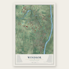
More maps nearby: Simsbury Center, Weatogue, Tariffville, Simsbury and Upper Albany.
The art of mapping a place
How This Map Was Made
Real places. Remarkable detail. Discover the layers that turn geographic data into a map of home.

The view from above
Aerial imagery reveals the character of the land: woodland, open fields, and the patterns of a place.

The shape of the land
Elevation data brings hills, valleys, and subtle changes in the landscape into view.

The details of home
Roads, waterways, and building footprints come together to make the map feel unmistakably local.

Geography becomes art
Considered color, shading, and typography bring the layers together in a map made for your wall.


Process illustrated with Mendon, Massachusetts. Aerial imagery: USDA NAIP. Terrain: USGS 3D Elevation Program. Map details and finished artwork: KNOWOL.
The Details
About This Print
Choose an archival matte print, or a black or white Ayous wood frame. The archival matte print is unframed.
Select your size and finish above to see the matching product image and price.
Materials & Craftsmanship
A contemporary map with the character of a classic atlas, printed on archival matte paper. Optional frames are made from Ayous wood.
Your printed map does not include the watermark shown in the full-map preview.
Shipping & Delivery
Free shipping within the United States. Every print is made to order in the USA.
Buying a gift? Add a note in your cart and we'll include it. We never put prices in the package.
Prints ship within 2 to 3 business days. Allow 7 to 10 days total from ordering for delivery. Timing may vary during holidays or periods of high order volume.
Read our shipping policy.
Returns and damaged prints
Each print is made to order. Change-of-mind refunds are not available after production.
If your print arrives damaged, misprinted or incorrect, contact support@knowol.com within 30 days of receiving it. Include your order number, photos and a description of the issue.
Read our full refund and replacement policy. For questions about your order, email support@knowol.com.