
Search for another town



Free U.S. delivery 7 to 10 days after you order
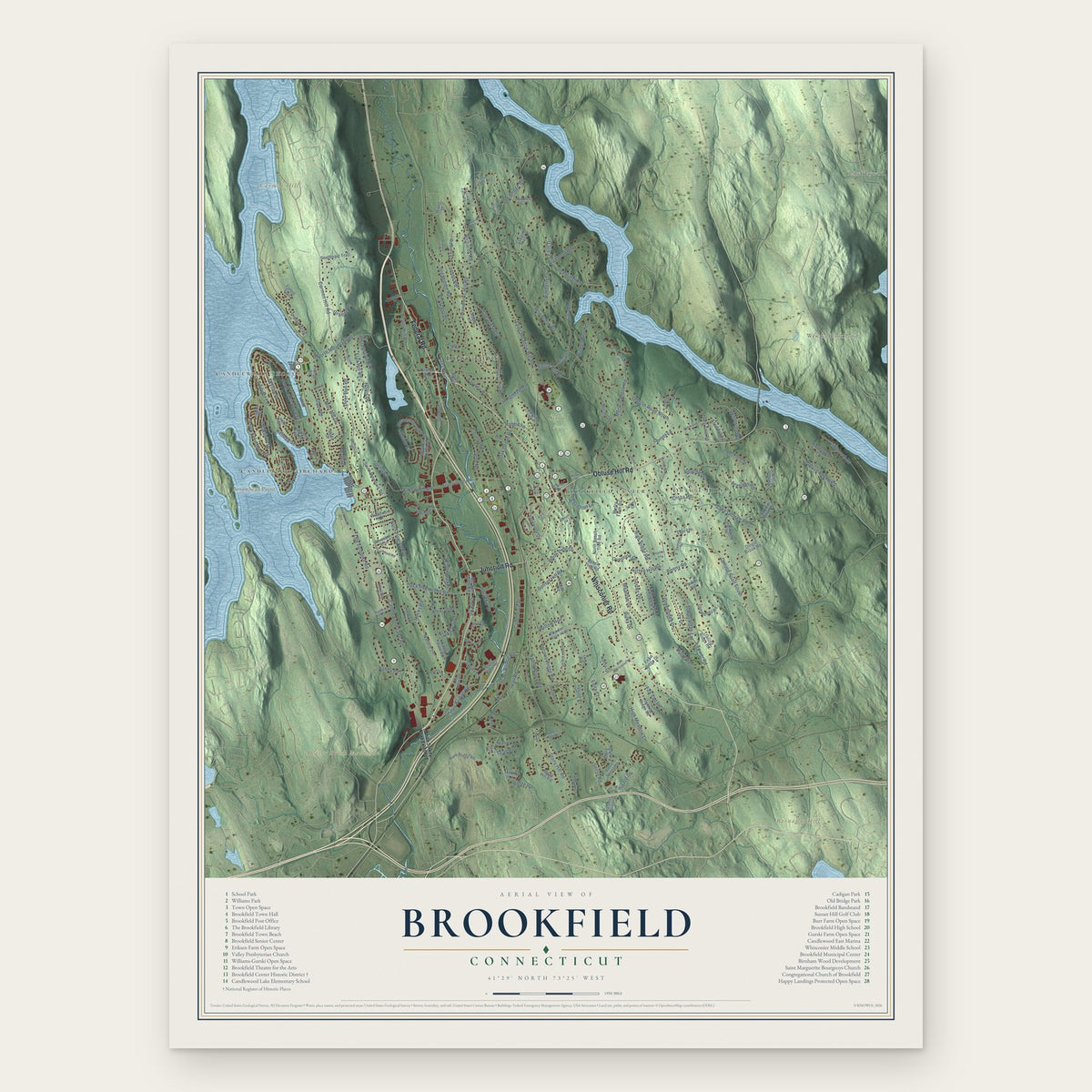
Brookfield, Connecticut Map Art
Building by building, with labeled streets and shaded relief.
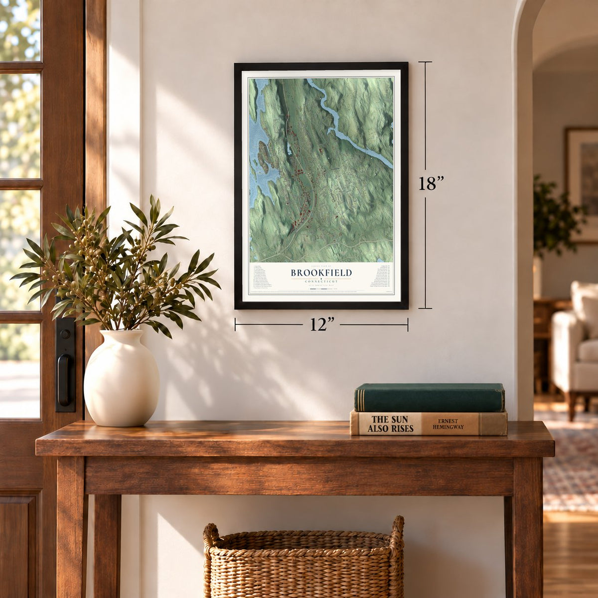
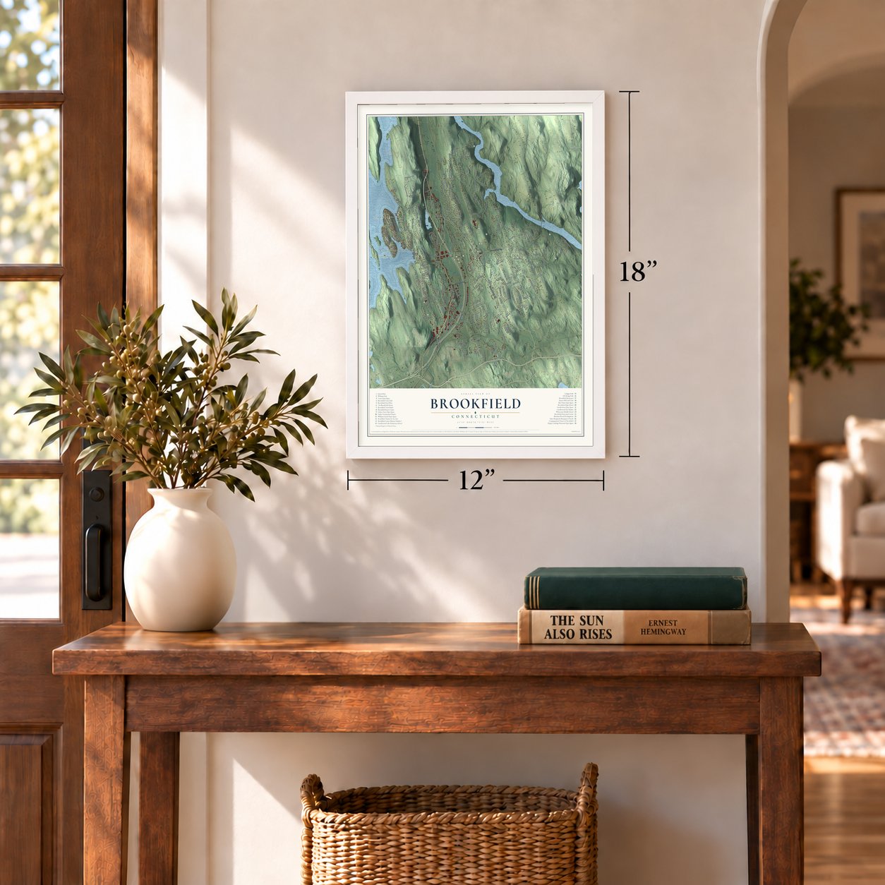
12" x 18" Archival Matte Print
A Map of Home. A Work of Art.
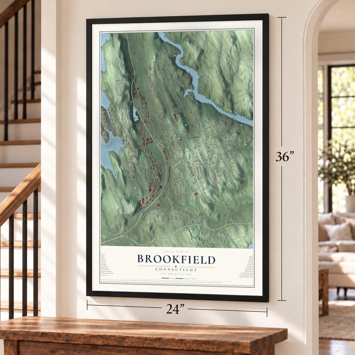
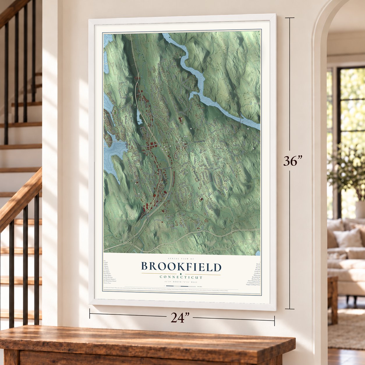
Explore Brookfield, Connecticut from a whole new perspective. Created using aerial imagery and detailed geographic data, this map captures Brookfield building by building, with labeled streets, familiar landmarks, and shaded topographical relief that highlights the natural contours of the landscape.
Combining modern data with the timeless character of a vintage atlas, this map is just as interesting up close as it is beautiful on the wall. Whether you grew up in Brookfield, spent memorable years there, or call it home today, this unique map is a great way to celebrate a place that means something to you. Zoom in on the preview to look for your street, and then order a print to put your memories on the wall.

Three ways to hang it
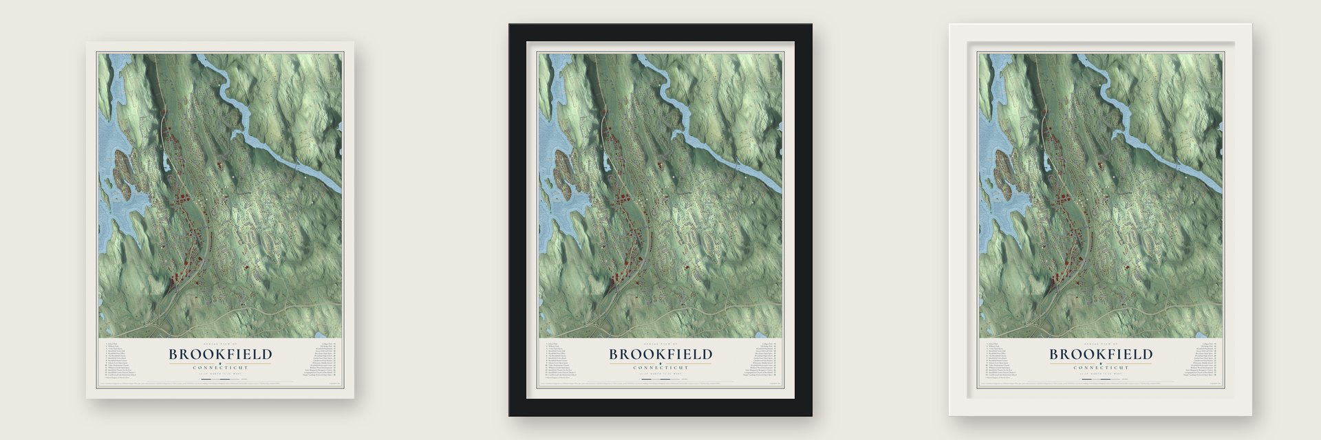
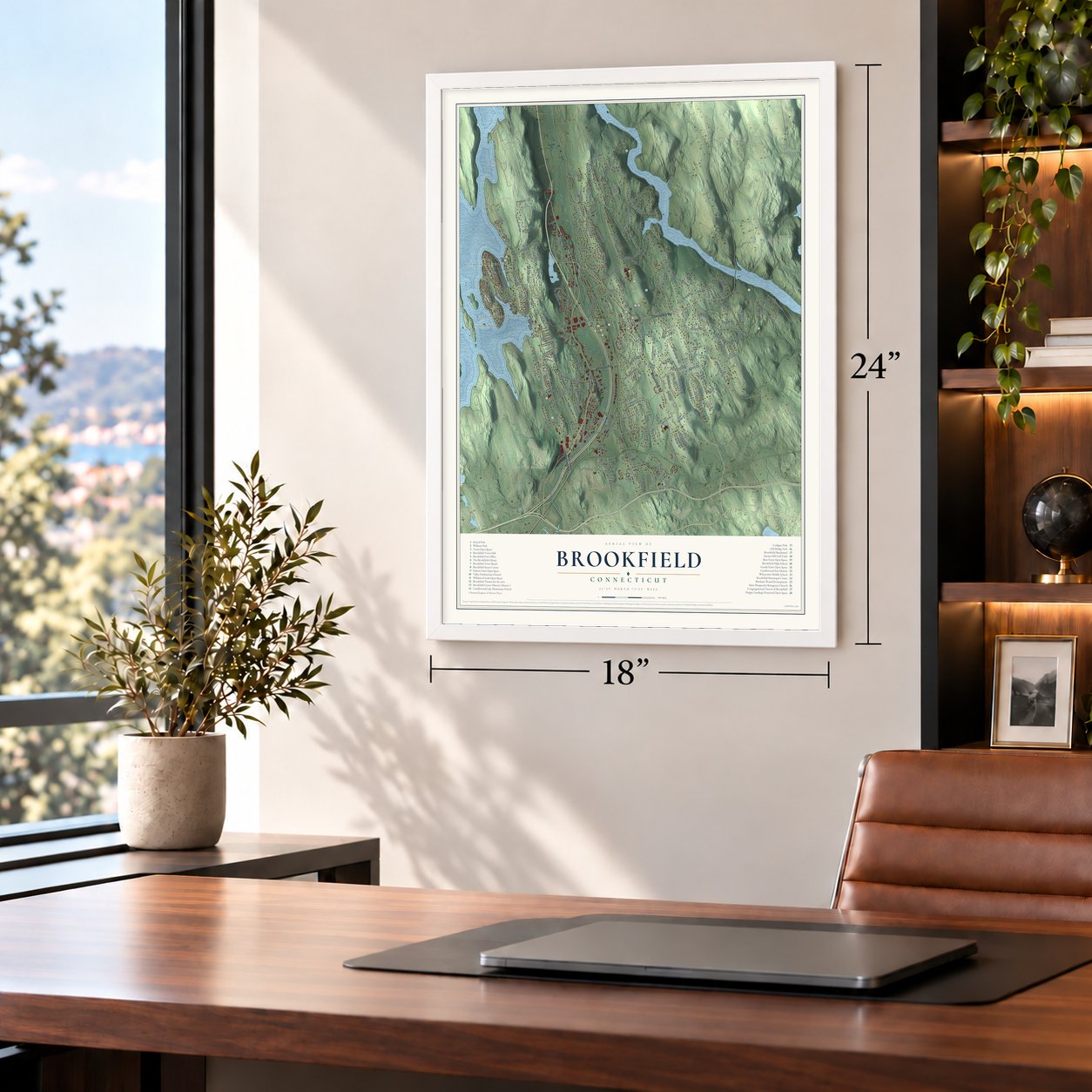
Unframed archival matte, a black wood frame or a white wood frame.
Up close
Geography Worth Displaying
This map was created using accurate cartographic data and authoritative geographic sources, including the U.S. Geological Survey (USGS) and FEMA. The map brings together terrain, waterways, roads, and building detail. The majority of the streets are labeled, houses are accurately depicted, and the topography is derived from government sources. Combining local data with carefully composed color and shading leads to this beautifully detailed Brookfield artwork for your wall.
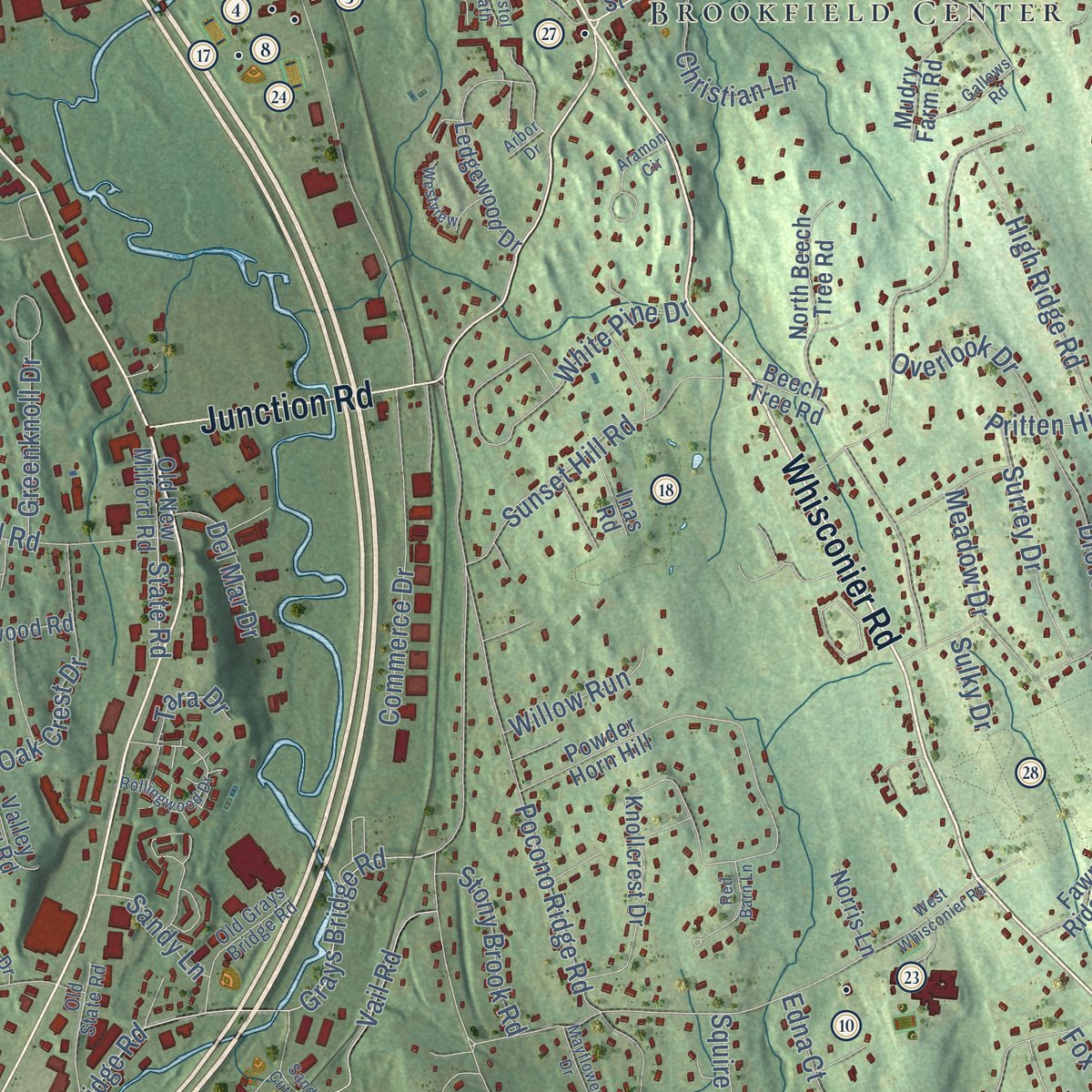
Rather than simply showing street outlines, we’ve included as many of the street names as we could reasonably fit on the map while keeping their names legible. Zoom in on the high resolution preview to see exactly what’s on the map. We truly set out to create a statement piece for anyone who loves Brookfield. So whether it’s for you, or a gift for someone you love, we hope this map of Brookfield brings back fond memories.
Explore the full map of Brookfield, Connecticut and read about the local places it shows.

Find your street
Names on the Brookfield map
Every name below is printed on this map. Look for your street, your school, the park where you played, or the pond down the road.
Places and landmarks12
- Downtown
- Candlewood Shores
- Arrowhead Point
- Barnabas Hill
- Beaver Brook Mountain
- Carmen Hill
- Lake Hayward
- Wewaka Brook Pond
- School Park
- Obtuse Hill
- Brookfield Center
- Candlewood Orchards
Streets and roads210
- Whisconier Road
- Federal Road
- Obtuse Hill Road
- Junction Road
- Candlewood Lake Road
- Ridge Road
- Long Meadow Hill Road
- Stony Hill Road
- Tower Road
- Pocono Road
- Obtuse Road South
- Hidden Brook Drive
- Ironworks Hill Road
- Riverford Road
- Vail Road
- Vale Road
- High Ridge Road
- Laurel Hill Road
- North Lake Shore Drive
- Gray's Bridge Road
- Grays Bridge Road
- Silvermine Road
- North Mountain Road
- Old Middle Road
- Merwin Brook Road
- Arapaho Road
- Flax Hill Road
- Obtuse Rocks Road
- Obtuse Road North
- Hop Brook Road
Show all 210 streets
- Old Bridge Road
- Huckleberry Hill Road
- Kellogg Street
- Carmen Hill Road
- Pocono Ridge Road
- Secor Road
- Mist Hill Drive
- White Pine Drive
- Tower Road Extension
- Elbow Hill Road
- Deer Run Road
- High Meadow Lane
- Greenridge Drive
- Cove Road
- Sunset Hill Road
- South Lake Shore Drive
- Prospect Drive
- Commerce Drive
- Lake George Road
- Signal Hill Road
- Farview Road
- Greenknoll Drive
- Hillandale Road
- Dean Road
- Deerfield Road
- Christian Lane
- Indian Trail
- Rocky Road
- Oak Grove Road
- Oak Crest Drive
- Skyline Drive
- Crestview Drive
- Ox Drive
- Kimberly Drive
- Meadowbrook Road
- Berkshire Drive
- Drover Road
- Windwood Road
- Old Turnpike Road
- Surrey Drive
- Meadow Drive
- Hollis Drive
- Nature Lane
- Falls Drive
- Apache Drive
- Richards Road
- Stage Road
- State Road
- Lillinonah Drive
- Cross Road
- Stony Brook Road
- Overlook Drive
- Rabbit Lane
- Fairfield Drive
- Bonny Road
- Twilight Lane
- Gereg Glen Road
- Willow Run
- Dorset Lane
- Del Mar Drive
- Fox Tail Lane
- Allen Road
- Nabby Road
- Pritten Hill Road
- Old Route 7
- Robins Lane
- Granite Drive
- Johns Road
- Sandy Lane
- Squire Court
- Spring Lane
- Edna Court
- Freddys Lane
- Hillside Court
- Tori Lane
- Tara Drive
- Main Drive
- Tead Road
- Sulky Drive
- Station Road
- Knollcrest Drive
- Powder Horn Hill
- North Pleasant Rise
- Beech Tree Road
- Ledgewood Drive
- Park Ridge Road
- Dingle Brook Road
- Mudry Farm Road
- Valley View Road
- Dairy Farm Drive
- Stony Hill Vlg
- Woodview Drive
- North Beech Tree Road
- Old New Milford Road
- Fawn Ridge Drive
- South Mountain Road
- Laurel Drive
- Cawdor Burn Road
- Blackwood Road
- Hickory Hill Road
- Meadow Brook Road
- Cross Pond Drive
- Old Woods Road
- Maple Tree Road
- Hunting Ridge Road
- Trailing Ridge Road
- Logging Trail Lane
- Galloping Hl
- Southeast Trail
- Parker Hill
- Banquo Brae Road
- Pleasant Rise
- Toby Lane
- Murphys Lane
- Diana Drive
- Monika Lane
- Vista Drive
- Nicoles Court
- Forest Trail
- Fleetwood Lane
- Prange Road
- Maple Lane
- Inas Road
- Tucks Road
- Norris Lane
- Park Lane
- School Street
- Hamlin Court
- Poppy Drive
- Alcox Road
- White Turkey Road Extended
- Shamrock Drive
- Lyndenwood Drive
- Longview Drive
- Oak Meadow Drive
- Beverly Drive
- Lakeview Road
- Old Grays Bridge Road
- Old State Road
- Bound Swamp Road
- Barkwood Hill Road
- Parkwood Drive
- Rajcula Farm Road
- Ashwood Lane
- Horsehill Road
- Josephs Lane
- Grassy Lane
- Fernbrook Drive
- Beachwood Grv
- Fieldstone Road
- Apple Hill Road
- Alexander Drive
- Bayberry Drive
- Common Driveway
- Deer Trail Drive
- Jason Court
- Oak Lane
- West Whisconier Road
- Hearthstone Drive
- Arrowhead Road
- Rollingwood Drive
- Woodcreek Road
- Puritan Valley Road
- Broadview Road
- Winding Road
- Gallows Road
- Sand Cut Road
- Stoney Farm Lane
- Red Barn Lane
- Mayflower Drive
- Barnview Terrace
- Production Drive
- Westview
- Aramon Circle
- Ashleigh Pvt
- Taylor Street
- Patricia Drive
- Heather Lane
- Bristol Path
- Arbor Drive
Names are listed as they appear on the printed map. Zoom into the product photos to find them.
About Brookfield, Connecticut
Brookfield is a town of 17,528 people in Fairfield County, between Candlewood Lake and the Housatonic. Colonists settled here in 1710 on land carved from New Milford, Newtown and Danbury, so the parish was called Newbury, a name blended from all three. In 1754 the General Assembly incorporated the Society of Newbury, and on September 28, 1757, the parish dedicated its meetinghouse and ordained Rev. Thomas Brooks as its minister.
The neighboring towns did not want to lose this ground. In 1743 the Newtown church had named a man to fight a separate parish, and Newbury later spent close to twenty years asking the General Assembly to make it a town. The Assembly granted its petition in May 1788, and the new town was named for Brooks, who was still its pastor. When voters gathered for their first town meeting on June 9, they passed a formal thanks to the visitors from nearby towns who had come to watch.
“It is a quaint old spot like many another New England village, shut away from the noise and bustle of the outside world.”
- Iron at Half-Way FallsIron works were operating by 1732 where the Still River drops into a gorge at Half-Way Falls. A year later the owners took on Eleazer Hathaway as bloomer, expecting twenty-four tons of iron yearly out of two forges. Local tradition holds that in the Revolution, iron was carried about forty miles by night to West Point, for use in the Hudson River chain. The village's old gristmill survives as the Brookfield Craft Center.
- Knives, shears and hatsIn 1837 Daniel Tomlinson, a former state senator, dammed the Still River and began making currier's knives. The freshet of 1853 swept his dam away, but the shop kept growing into a shear works, which became the Lenox Shear Company in 1889. Nearby, from 1868 to 1875, Henry B. Hawley ran a hat shop with a hundred people on his payroll, turning out hats for the New York City firm of Pearce and Hall.
- Spring water since 1837The Iron Works Aqueduct Company was formed in 1837 to carry water from the mountain springs down to the busy Iron Works village. It still supplies the town today as the Brookfield Water Company.
- The Curtis School, 1883 to 1943The Curtis School for Boys moved to Brookfield Center from Bethlehem in 1883 and ran as a boarding school until 1943. Starting in the 1920s, girls could enroll as day students. The school's 1907 gymnasium now holds the Brookfield Theatre for the Arts, where neighbors put on community plays.
Keep exploring Connecticut
Brookfield is one of 382 Connecticut towns we've mapped. Every dot on the map is a print of its own.
The search covers every state, Connecticut first.
Near Brookfield
Order 2 or more town maps and save 10%. Shown in the size and finish you picked above, so they hang as a set.
- Brookfield Center 12" x 18" / Archival Matte Print $39.99
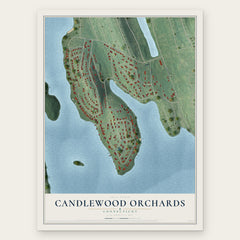
- Candlewood Orchards 12" x 18" / Archival Matte Print $39.99
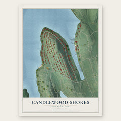
- Candlewood Shores 12" x 18" / Archival Matte Print $39.99

More maps nearby: Candlewood Lake Club, Chimney Point, Candlewood Isle, Kellogg Point and Candlewood Knolls.
The art of mapping a place
How This Map Was Made
Real places. Remarkable detail. Discover the layers that turn geographic data into a map of home.

The view from above
Aerial imagery reveals the character of the land: woodland, open fields, and the patterns of a place.

The shape of the land
Elevation data brings hills, valleys, and subtle changes in the landscape into view.

The details of home
Roads, waterways, and building footprints come together to make the map feel unmistakably local.

Geography becomes art
Considered color, shading, and typography bring the layers together in a map made for your wall.


Process illustrated with Mendon, Massachusetts. Aerial imagery: USDA NAIP. Terrain: USGS 3D Elevation Program. Map details and finished artwork: KNOWOL.
The Details
About This Print
Choose an archival matte print, or a black or white Ayous wood frame. The archival matte print is unframed.
Select your size and finish above to see the matching product image and price.
Materials & Craftsmanship
A contemporary map with the character of a classic atlas, printed on archival matte paper. Optional frames are made from Ayous wood.
Your printed map does not include the watermark shown in the full-map preview.
Shipping & Delivery
Free shipping within the United States. Every print is made to order in the USA.
Buying a gift? Add a note in your cart and we'll include it. We never put prices in the package.
Prints ship within 2 to 3 business days. Allow 7 to 10 days total from ordering for delivery. Timing may vary during holidays or periods of high order volume.
Read our shipping policy.
Returns and damaged prints
Each print is made to order. Change-of-mind refunds are not available after production.
If your print arrives damaged, misprinted or incorrect, contact support@knowol.com within 30 days of receiving it. Include your order number, photos and a description of the issue.
Read our full refund and replacement policy. For questions about your order, email support@knowol.com.