
Search for another town

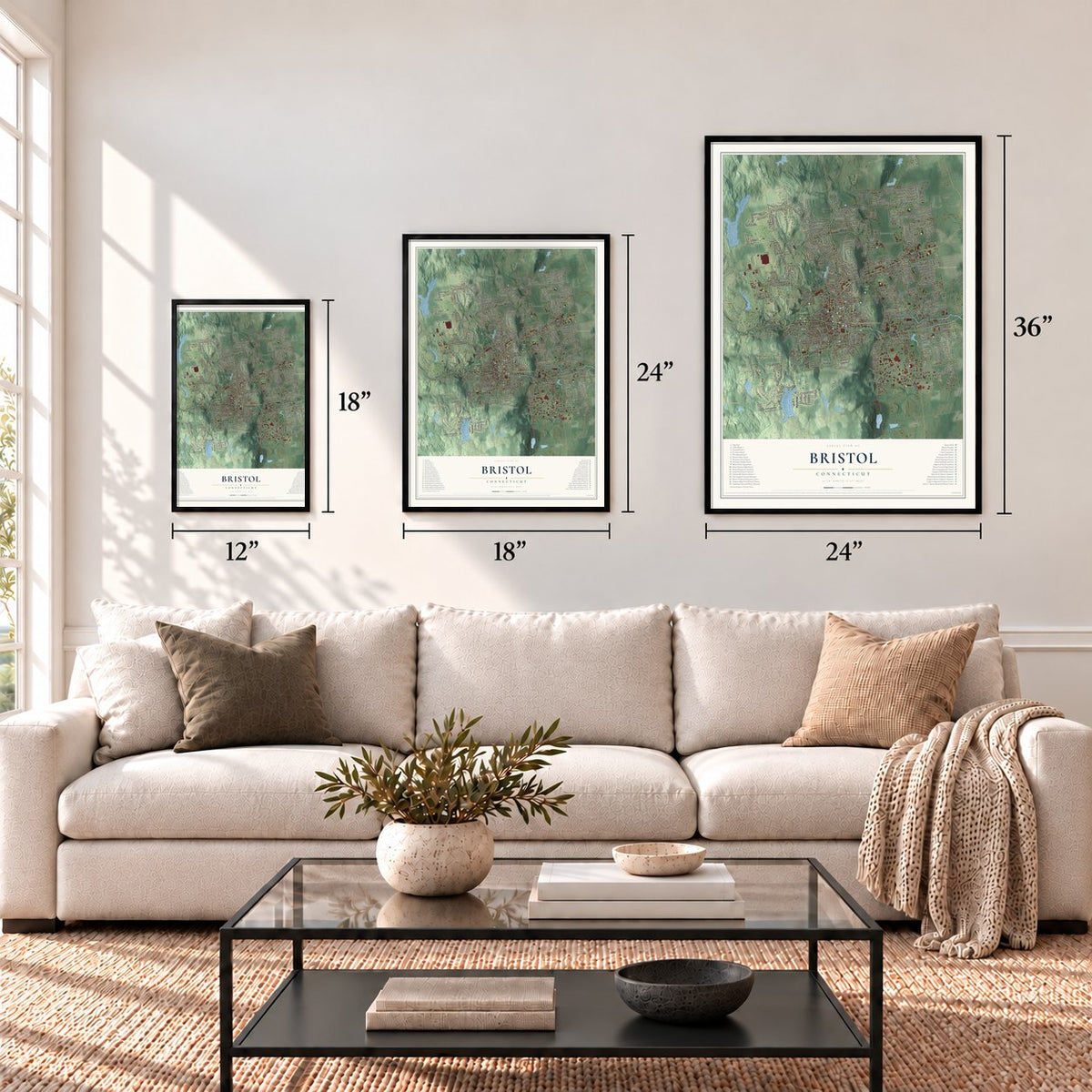



Free U.S. delivery 7 to 10 days after you order
Bristol, Connecticut Map Art
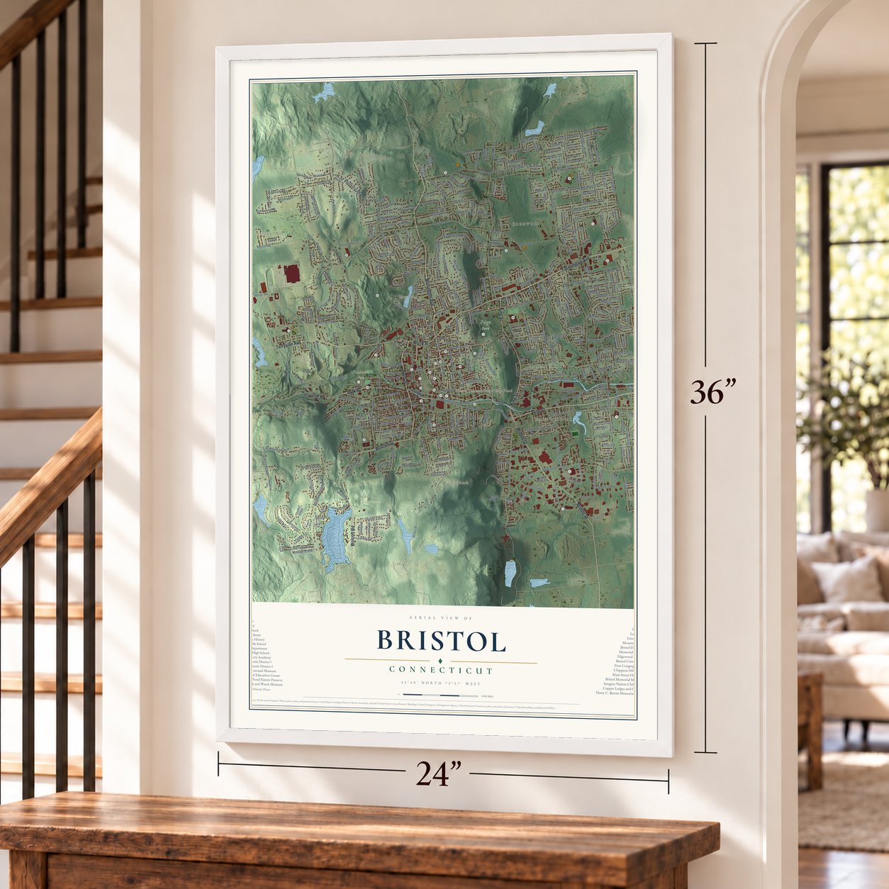
A new map of Bristol, Connecticut, made in 2026 and printed to order on thick archival matte paper.
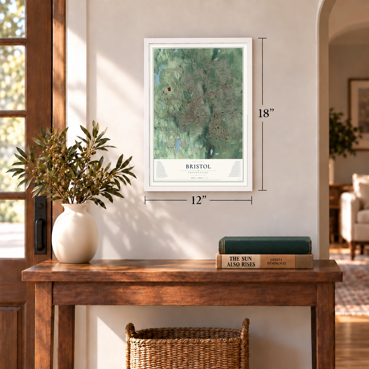
12" x 18" Archival Matte Print
A Map of Home. A Work of Art.
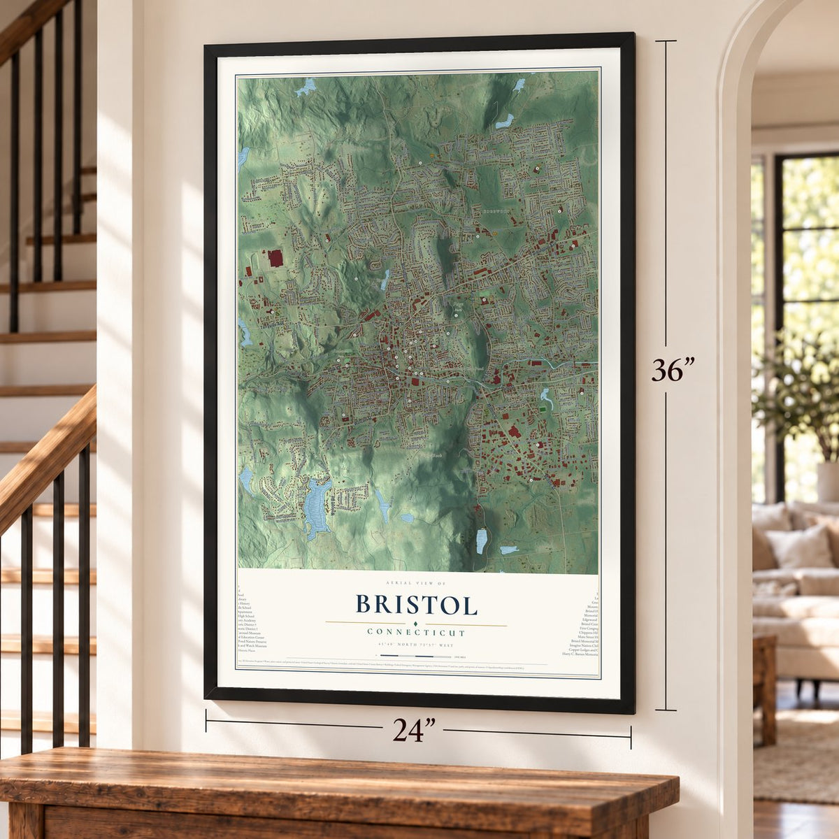
Explore Bristol, Connecticut from a whole new perspective. Created using aerial imagery and detailed geographic data, this map captures Bristol building by building, with labeled streets, familiar landmarks, and shaded topographical relief that highlights the natural contours of the landscape.
Combining modern data with the timeless character of a vintage atlas, this map is just as interesting up close as it is beautiful on the wall. Whether you grew up in Bristol, spent memorable years there, or call it home today, this unique map is a great way to celebrate a place that means something to you. Zoom in on the preview to look for your street, and then order a print to put your memories on the wall.

Three ways to hang it
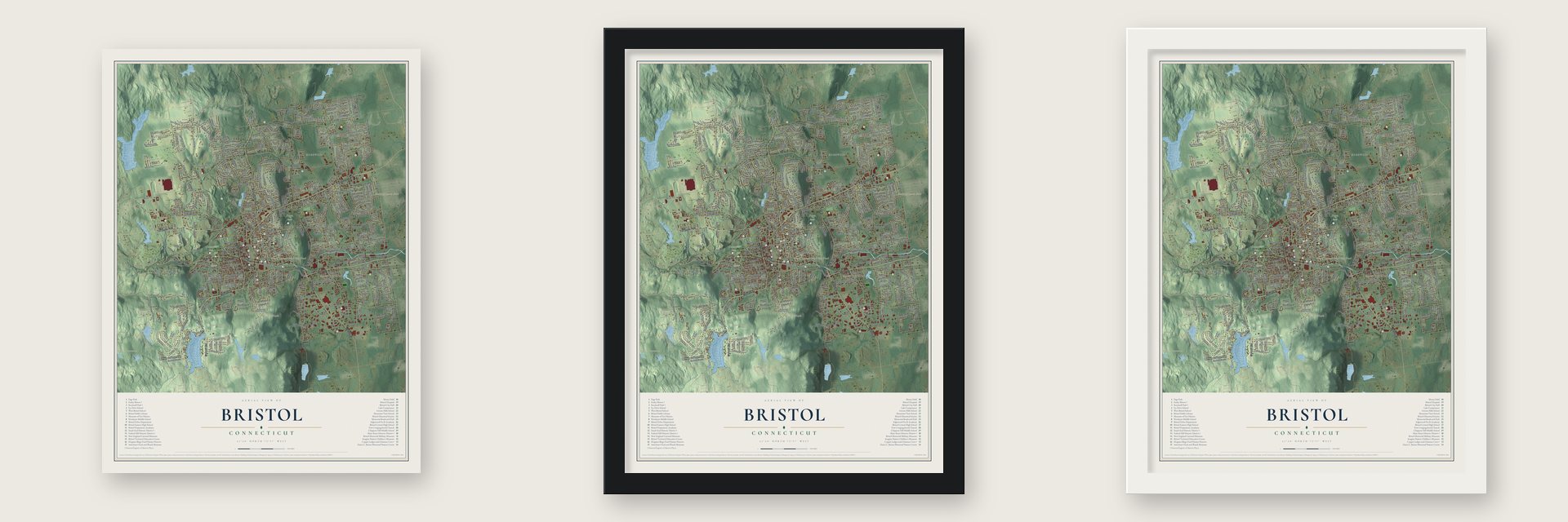
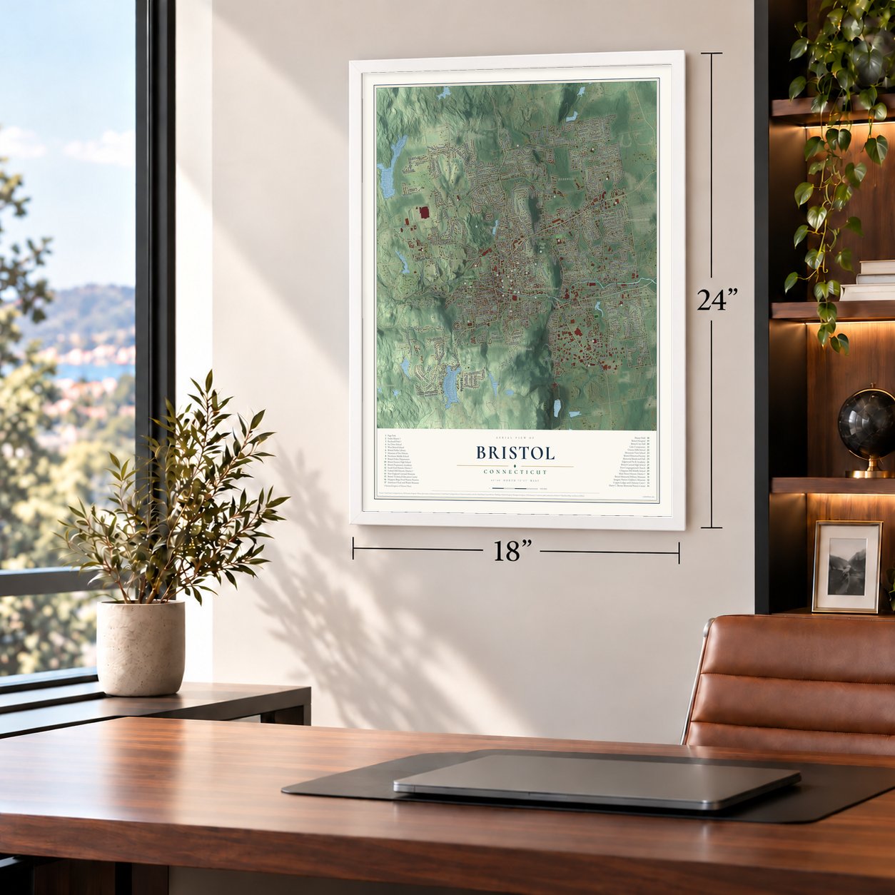
Unframed archival matte, a black wood frame or a white wood frame.
Up close
Geography Worth Displaying
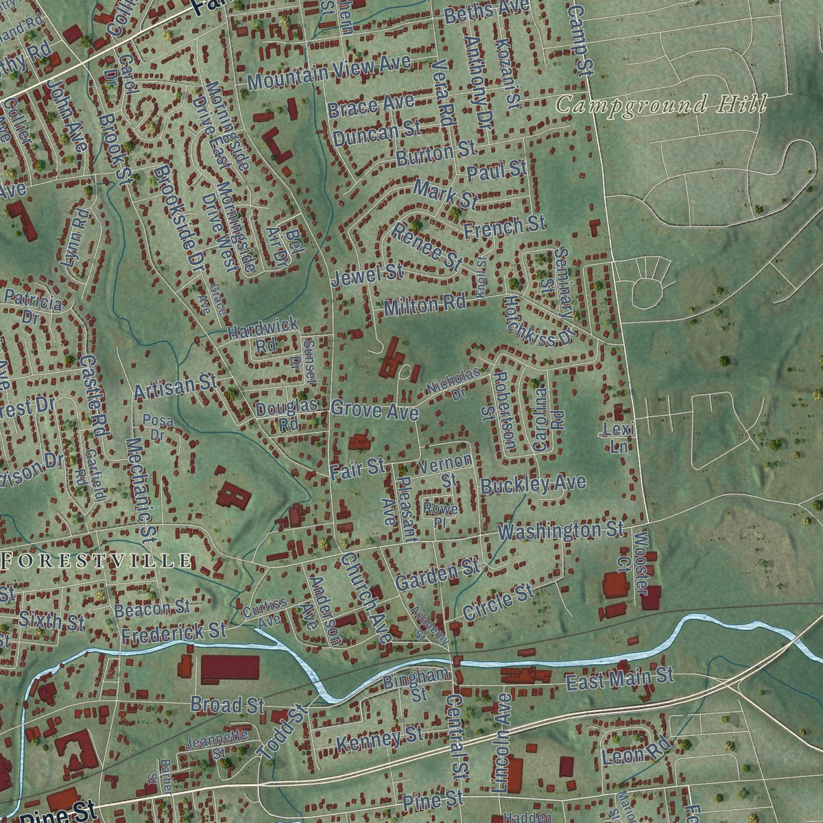
This map was created using accurate cartographic data and authoritative geographic sources, including the U.S. Geological Survey (USGS) and FEMA. The map brings together terrain, waterways, roads, and building detail. The majority of the streets are labeled, houses are accurately depicted, and the topography is derived from government sources. Combining local data with carefully composed color and shading leads to this beautifully detailed Bristol artwork for your wall.
Rather than simply showing street outlines, we’ve included as many of the street names as we could reasonably fit on the map while keeping their names legible. Zoom in on the high resolution preview to see exactly what’s on the map. We truly set out to create a statement piece for anyone who loves Bristol. So whether it’s for you, or a gift for someone you love, we hope this map of Bristol brings back fond memories.
Explore the full map of Bristol, Connecticut and read about the local places it shows.

About Bristol, Connecticut
Bristol is a city of 60,833 people in Hartford County, along the Pequabuck River. The Tunxis people lived here first, and the land later fell inside the town of Farmington. Ebenezer Barnes was the first settler to stay, building his home on King Street, and Nehemiah Manross arrived from Lebanon in 1728. About 1742 William Jerome built a center-chimney saltbox that still stands, and it joined the National Register in 1987.
By 1742 the scattered farm families were asking the colony for a church of their own, because the winter trip to Farmington was so hard. In 1744 the colony agreed, and the new society took the name New Cambridge. A committee sent to find the middle of the settlement picked Federal Hill, and the first church went up there. New Cambridge became the town of Bristol, named for the English city, in 1785, and Bristol became a city in 1911.
“You can better afford to have a country without a husband than a husband without a country.”
- Clocks in the saddlebagsBy 1790 Revolutionary soldier Gideon Roberts was turning out wooden clocks in his Fall Mountain road home. One man remembered him riding past with a clock in either saddlebag and another strapped behind, dials out. Chauncey Jerome arranged for Main Street to be laid out in 1826, and by 1850 his Pequabuck factory was the country's largest clockmaker. The state still ranked clocks first among Bristol's trades in 1890, and the American Clock and Watch Museum opened in 1952.
- Forestville and its oil boomIn 1833 Bartholomew, Hills and Brown built a clock factory in the woods south of the river, and its village was named Forestville for that small clearing. A 1902 rumor of oil at the Taylor farm sent land prices soaring, but every expert who inspected the hole left quietly, ending the boom.
- The Old Leather ManThe Old Leather Man walked a loop that usually took 34 days, entering Bristol from the west and leaving east through Forestville. In 1884 and 1885 he completed 19 such circuits without a break, dressed from cap to moccasins in old bootlegs laced together. A Bristol woman fed him whenever he passed and knew which noon he'd arrive. The picture printed in Bristol's 1907 town history was snapped from behind her washing on the line, without his knowing.
- The Mum CityChamber of Commerce members and city officials planned six days of events to show off the good things happening in Bristol, and the first festival opened with a parade on July 7, 1962. It started as the Fall Festival, and in 1963 the chrysanthemum joined its name. Before 1986 the city's nurseries grew over 80,000 mum plants, which gave Bristol its nickname.
- Lake Compounce since 1846Lake Compounce, in the southeast part of the city, opened as an amusement park in 1846 and is known as the oldest continuously operated one in North America. Bristol's newer fame arrived in 1979, when ESPN came to town; it is now the city's largest taxpayer.
Find your street
Names on the Bristol map
Every name below is printed on this map. Look for your street, your school, the park where you played, or the pond down the road.
Places and landmarks23
- East Bristol
- Bristol Central High School
- Bristol City Hall
- Bristol Eastern High School
- Bristol Hospital
- Bristol Public Library
- Chippens Hill Middle School
- Copper Ledges and Chimney Crest
- Edgewood Pre-K Academy
- Federal Hill Historic District
- Greene-Hills School
- Ivy Drive School
Show all 23 places
- Lake Compounce
- Main Street Historic District
- Memorial Boulevard Park
- Mountain View School
- Museum of Fire History
- New England Carousel Museum
- Northeast Middle School
- Page Park
- Rockwell Park
- South End Historic District
- West Bristol School
Streets and roads26
- Marsh Rd
- Fox Hollow
- Mine Rd
- Redwood Dr
- Elaine Dr
- Maltby St
- Stamford Ave
- Inas Rd
- Country Ln
- Tower Rd
- Earl St
- Martin Rd
- Field St
- Washington Sq
- New St
- Broad St
- King St
- Chestnut St
- French St
- Jewell St
- Washington St
- Main St
- Tuxis Rd
- Battis Rd
- Union St
- Hill Rd
Names are listed as they appear on the printed map. Zoom into the product photos to find them.
The art of mapping a place
How This Map Was Made
Real places. Remarkable detail. Discover the layers that turn geographic data into a map of home.

The view from above
Aerial imagery reveals the character of the land: woodland, open fields, and the patterns of a place.

The shape of the land
Elevation data brings hills, valleys, and subtle changes in the landscape into view.

The details of home
Roads, waterways, and building footprints come together to make the map feel unmistakably local.

Geography becomes art
Considered color, shading, and typography bring the layers together in a map made for your wall.


Process illustrated with Mendon, Massachusetts. Aerial imagery: USDA NAIP. Terrain: USGS 3D Elevation Program. Map details and finished artwork: KNOWOL.
The Details
About This Print
Choose an archival matte print, or a black or white Ayous wood frame. The archival matte print is unframed.
Select your size and finish above to see the matching product image and price.
Materials & Craftsmanship
A contemporary map with the character of a classic atlas, printed on archival matte paper. Optional frames are made from Ayous wood.
Your printed map does not include the watermark shown in the full-map preview.
Shipping & Delivery
Free shipping within the United States. Every print is made to order in the USA.
Buying a gift? Add a note in your cart and we'll include it. We never put prices in the package.
Prints ship within 2 to 3 business days. Allow 7 to 10 days total from ordering for delivery. Timing may vary during holidays or periods of high order volume.
Read our shipping policy.
Returns and damaged prints
Each print is made to order. Change-of-mind refunds are not available after production.
If your print arrives damaged, misprinted or incorrect, contact support@knowol.com within 30 days of receiving it. Include your order number, photos and a description of the issue.
Read our full refund and replacement policy. For questions about your order, email support@knowol.com.
Find your town
Looking for another city?
Find a map of home in our Connecticut collection, or any town in the country.
Nearby
Maps of towns near Bristol
Know someone from one of these towns? Their map makes a great gift.
 Terryville
, Connecticut
From $39.99See the map
 Plainville
, Connecticut
From $39.99See the map
 Plymouth
, Connecticut
From $39.99See the map
More maps nearby: Burlington, West District, Southington, Farmington and Wolcott.