
Search for another town

Free U.S. delivery 7 to 10 days after you order
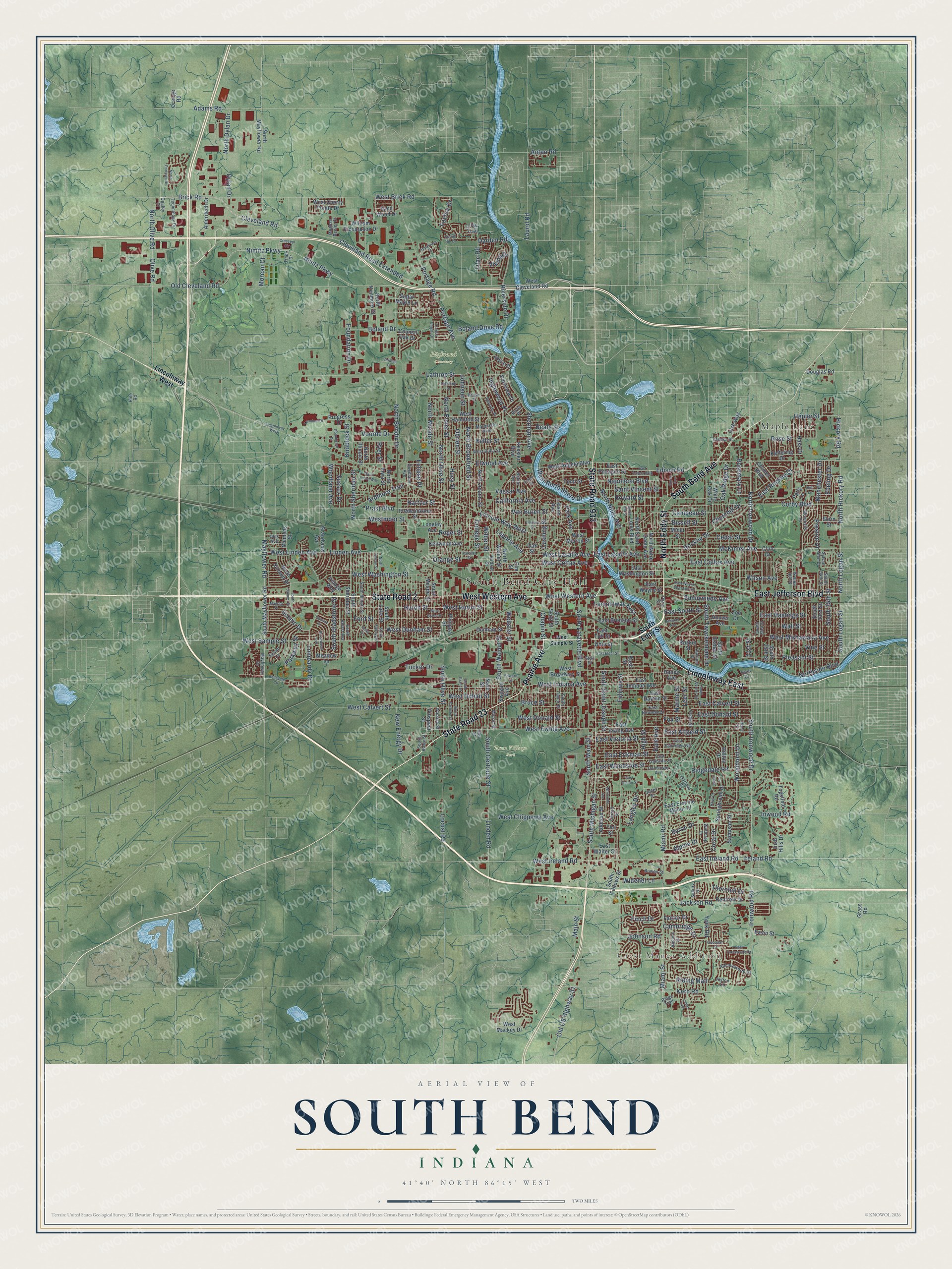
South Bend, Indiana Map Art
Building by building, with labeled streets and shaded relief.
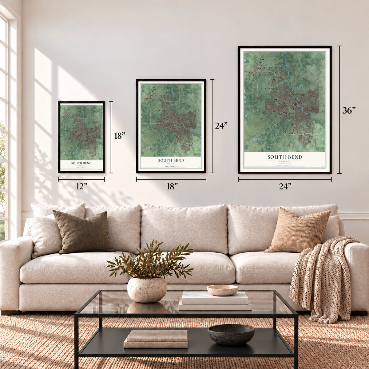
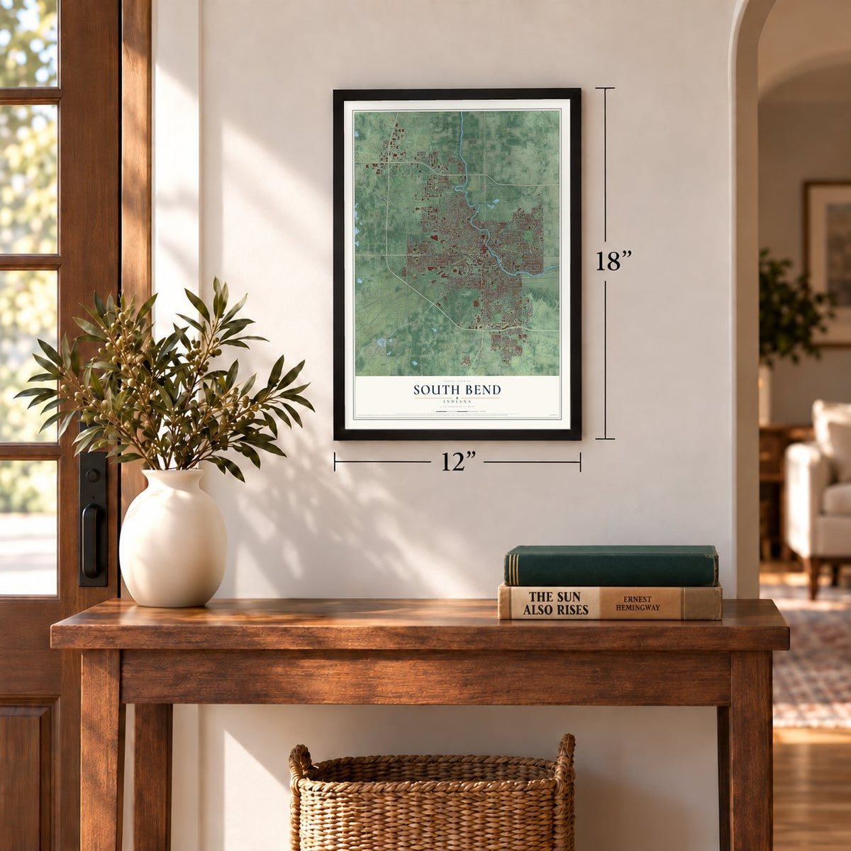
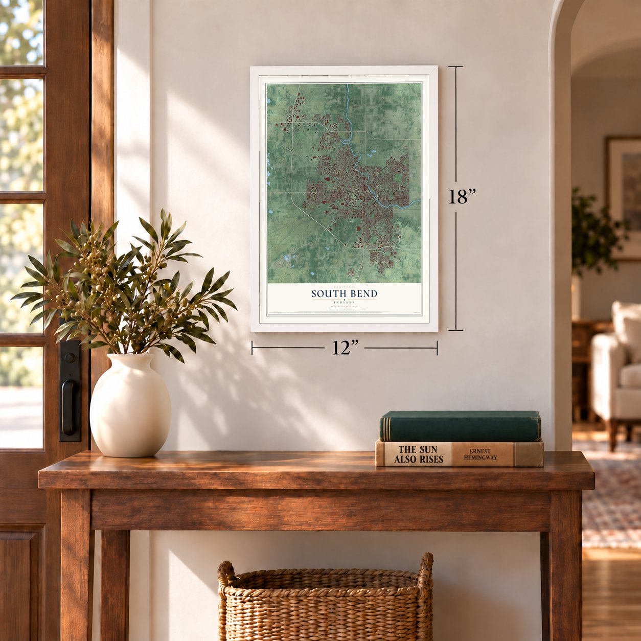
12" x 18" Archival Matte Print
A Map of Home. A Work of Art.
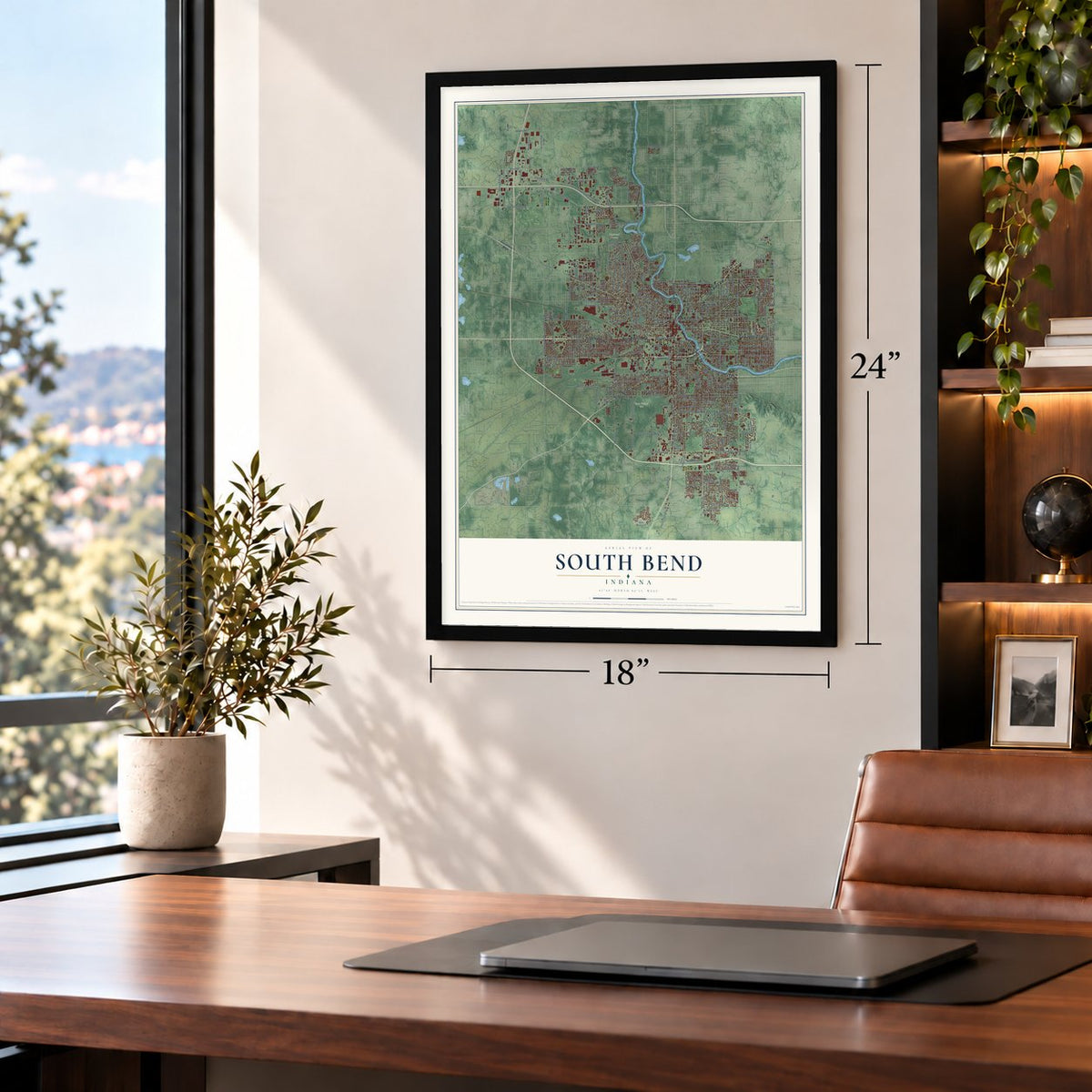
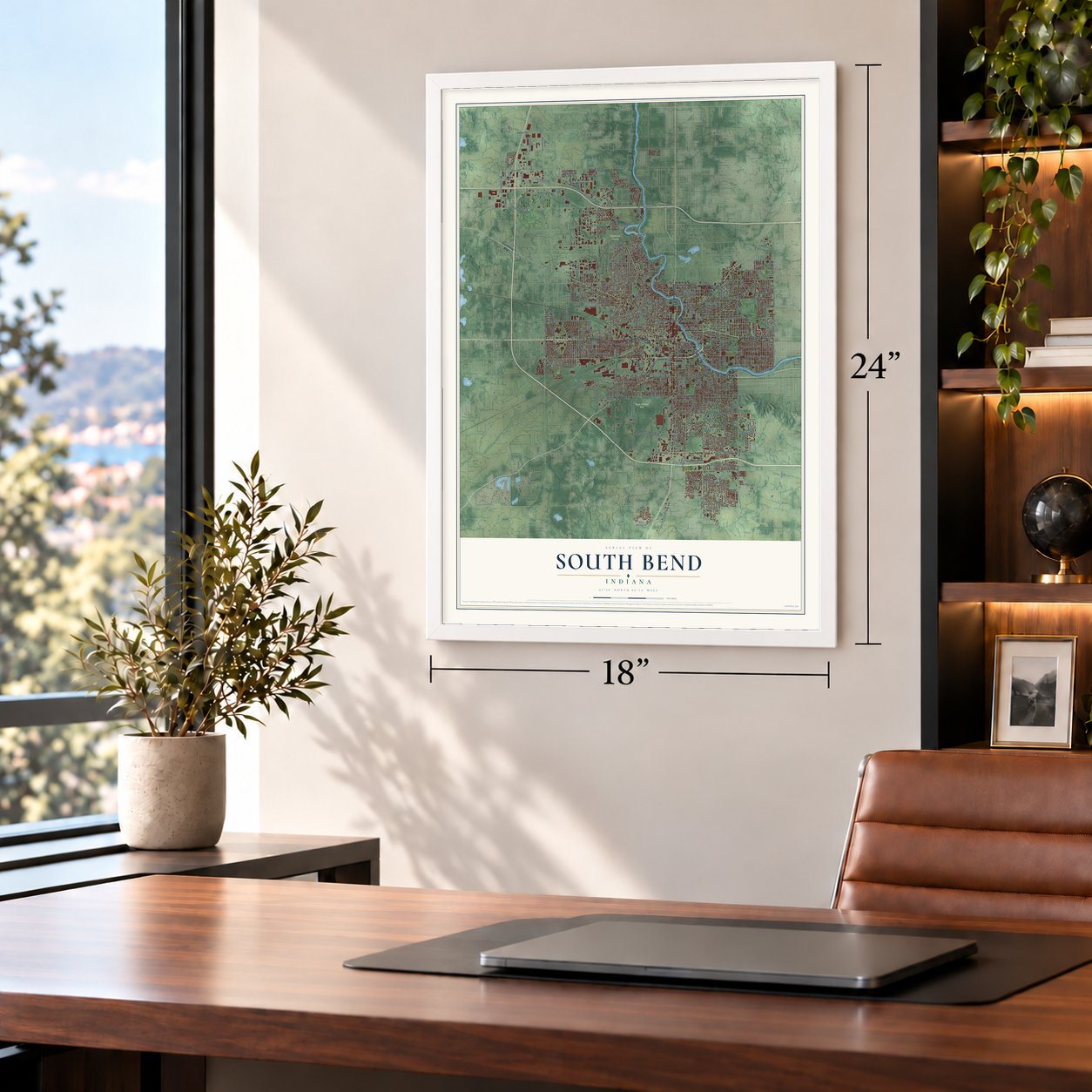
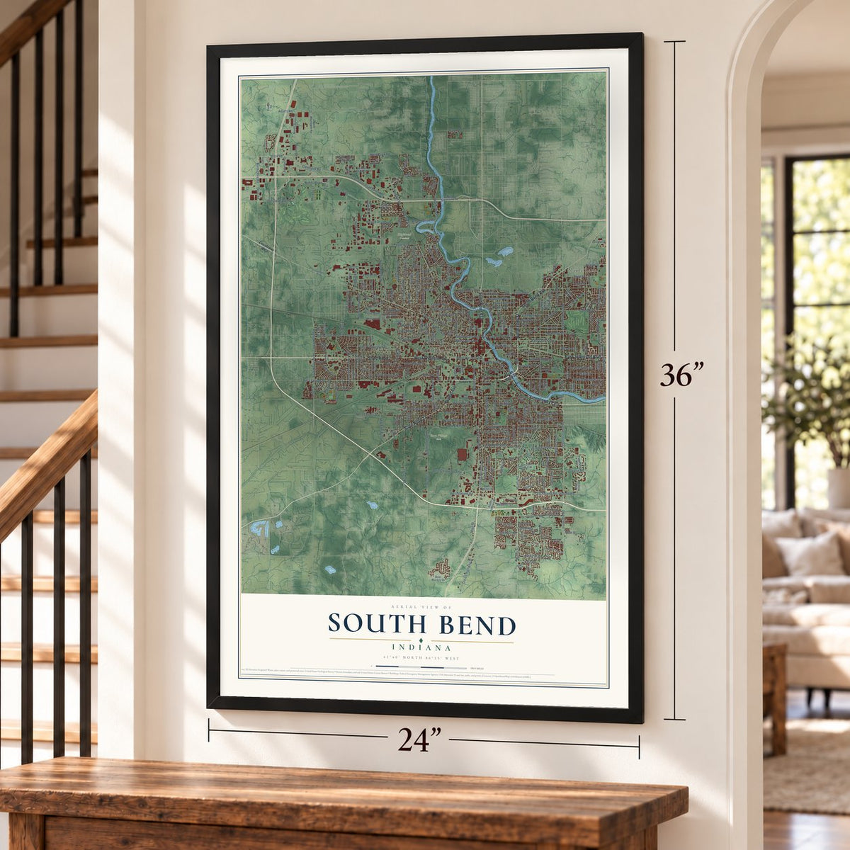
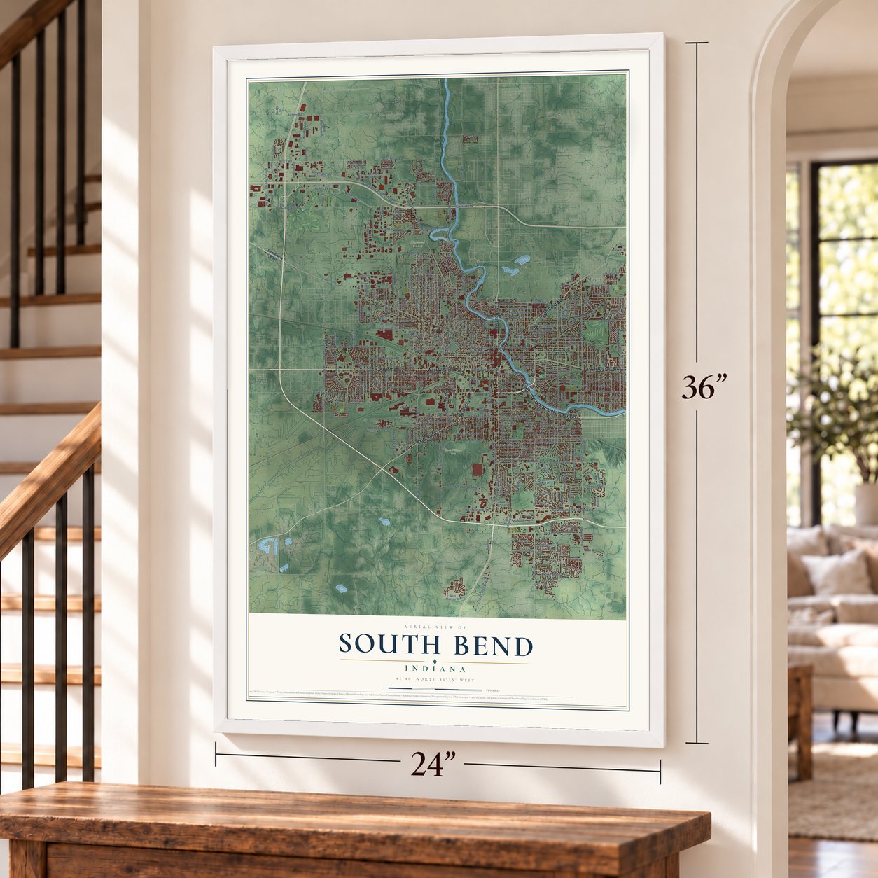
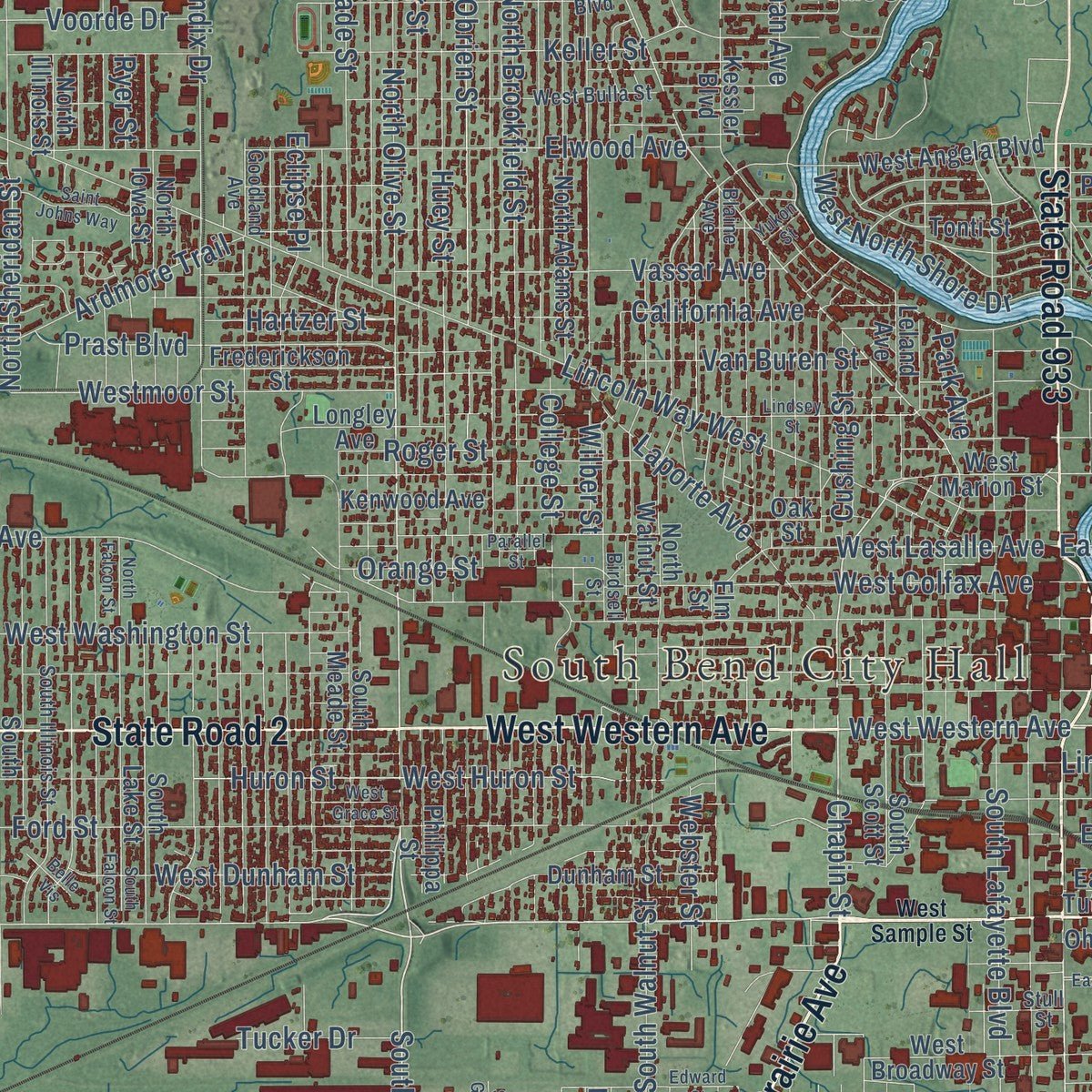
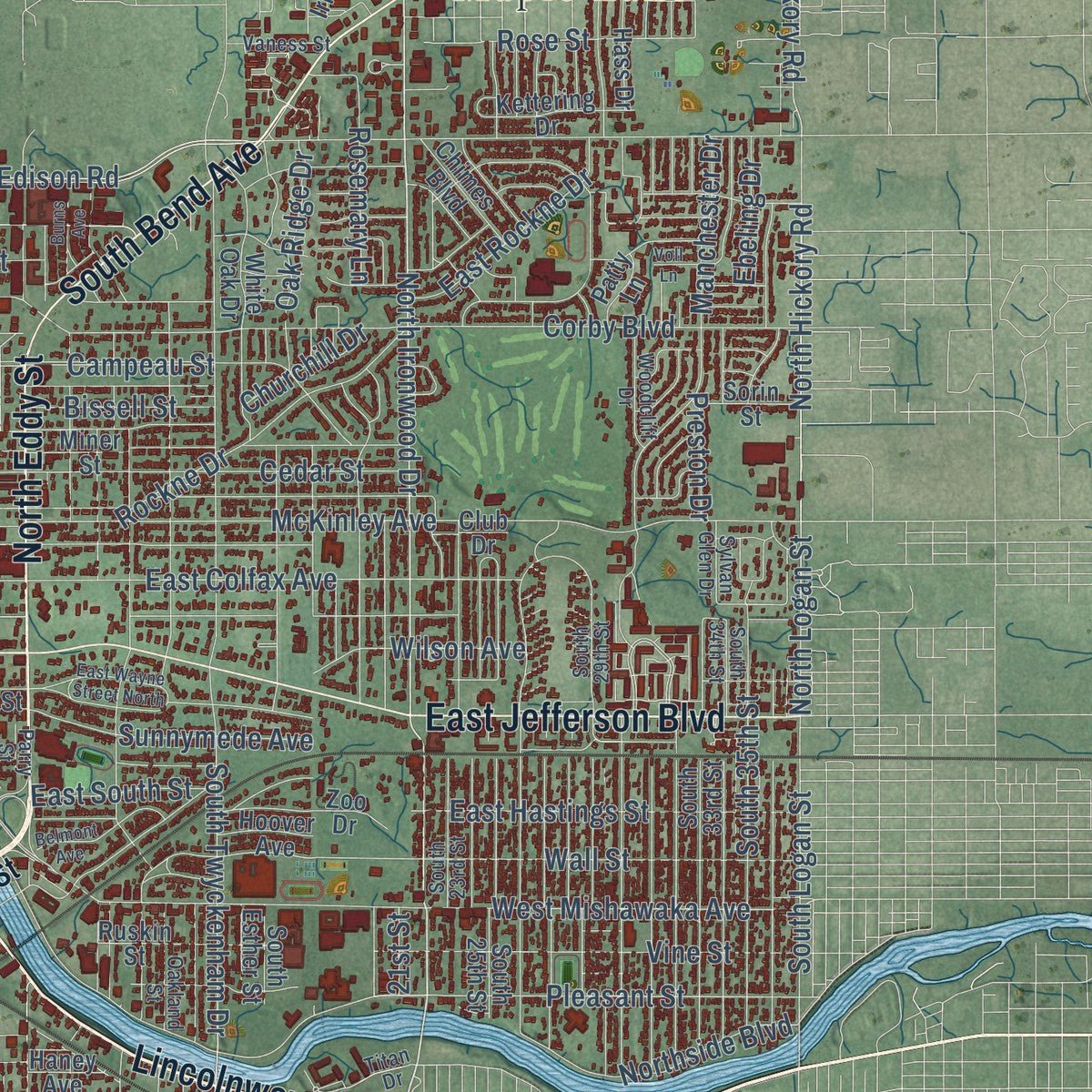
Explore South Bend, Indiana from a whole new perspective. Created using aerial imagery and detailed geographic data, this map captures South Bend building by building, with labeled streets, familiar landmarks, and shaded topographical relief that highlights the natural contours of the landscape.
Combining modern data with the timeless character of a vintage atlas, this map is just as interesting up close as it is beautiful on the wall. Whether you grew up in South Bend, spent memorable years there, or call it home today, this unique map is a great way to celebrate a place that means something to you. Zoom in on the preview to look for your street, and then order a print to put your memories on the wall.
Three ways to hang it
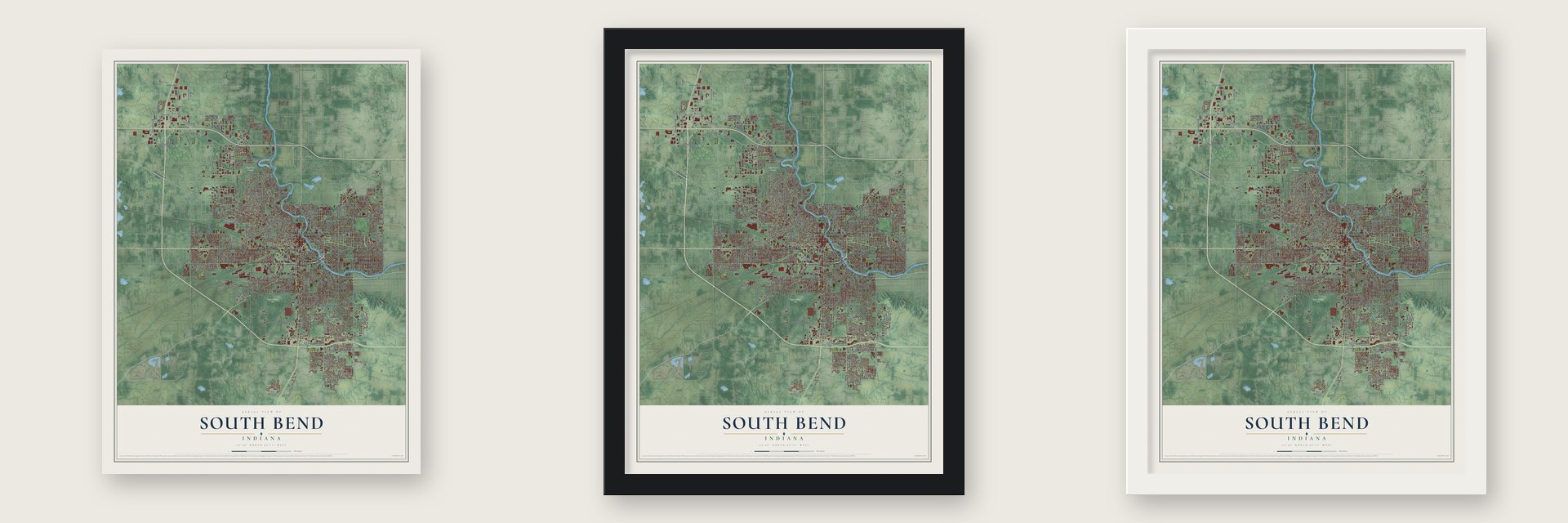
Unframed archival matte, a black wood frame or a white wood frame.
Up close
Geography Worth Displaying
This map was created using accurate cartographic data and authoritative geographic sources, including the U.S. Geological Survey and the Census Bureau. The map brings together terrain, waterways, roads, and building detail. The majority of the streets are labeled, houses are accurately depicted, and the topography is derived from government sources. Combining local data with carefully composed color and shading leads to this beautifully detailed South Bend artwork for your wall.
Rather than simply showing street outlines, we’ve included as many of the street names as we could reasonably fit on the map while keeping their names legible. Zoom in on the high resolution preview to see exactly what’s on the map. We truly set out to create a statement piece for anyone who loves South Bend. So whether it’s for you, or a gift for someone you love, we hope this map of South Bend brings back fond memories.
Read the story behind this map of South Bend, Indiana from 2026.
Find your street
Names on the South Bend map
Every name below is printed on this map. Look for your street, your school, the park where you played, or the pond down the road.
Places and landmarks5
- South Bend City Hall
- Crest Manor Addition
- Highland Cemetery
- Rum Village Park
- Maple Lane
Streets and roads362
- State Road 23
- State Road 933
- Prairie Avenue
- State Road 2
- West Western Avenue
- Lincolnway East
- North Eddy Street
- East Jefferson Boulevard
- South Bend Avenue
- West Sample Street
- South Michigan Street
- South Ironwood Drive
- North Olive Street
- South Olive Street
- East Ireland Road
- North Ironwood Drive
- Ironwood Road
- Ireland Road
- Chapin Street
- West Ireland Road
- Cleveland Road Extended
- North Hickory Road
- Cleveland Road
- Portage Avenue
- North Logan Street
- Brick Road
- Hickory Road
- Portage Road
- Riverside Drive
- Miami Road
Show all 362 streets
- Miami Street
- West Washington Street
- North Bendix Drive
- Lincoln Way West
- Mayflower Road
- Fellows Street
- South Main Street
- Jackson Road
- Edison Road
- Nimtz Parkway
- Ford Street
- York Road
- Northside Boulevard
- Corby Boulevard
- West Calvert Street
- Nimitz Parkway
- East Colfax Avenue
- West Mishawaka Avenue
- South Twyckenham Drive
- Huey Street
- Huron Street
- North Brookfield Street
- Johnson Street
- High Street
- McKinley Avenue
- West Ewing Avenue
- Elwood Avenue
- Old US Highway 31
- Linden Avenue
- College Street
- South Saint Joseph Street
- Lathrop Street
- West Brick Road
- South Walnut Street
- North Meade Street
- East Calvert Street
- East Altgeld Street
- North Elmer Street
- West Indiana Avenue
- Campeau Street
- Wall Street
- South Lafayette Boulevard
- Old Cleveland Road
- North Sheridan Street
- Keller Street
- West Colfax Avenue
- Wilber Street
- East Lasalle Avenue
- Cedar Street
- West North Shore Drive
- Obrien Street
- West Dubail Street
- Ridgedale Road
- Adams Road
- East Donald Street
- Fox Street
- West Huron Street
- East Woodside Street
- Locust Road
- Prast Boulevard
- Lombardy Drive
- West Chippewa Avenue
- East Victoria Street
- North Olive Road
- Olive Road
- Howard Street
- Vassar Avenue
- Dale Avenue
- Marine Street
- Sherman Avenue
- Vine Street
- Pleasant Street
- Woodmont Drive
- North Niles Avenue
- Manchester Drive
- West Dunham Street
- South 35th Street
- Eclipse Place
- Napoleon Boulevard
- Leer Street
- East Eckman Street
- East Hastings Street
- Westmoor Street
- South Gertrude Street
- Laurel Road
- Kern Road
- California Avenue
- Sunnymede Avenue
- East South Street
- Ardmore Trail
- West Lasalle Avenue
- Rockne Drive
- Webster Street
- Inwood Road
- West Donald Street
- South Logan Street
- Darden Road
- Laporte Avenue
- Inglewood Place
- Rose Street
- Roger Street
- South Gladstone Street
- Orange Street
- Finch Drive
- Main Street
- Byron Drive
- Saint Vincent Street
- West Linden Avenue
- Voorde Drive
- Van Buren Street
- Cushing Street
- Linden Road
- Moreau Court
- East Rockne Drive
- New Energy Drive
- Foundation Drive
- Boland Drive Road
- Oak Ridge Drive
- Parkway Street
- Scenic Drive
- Johnson Road
- Wilson Avenue
- Lilac Road
- Rosemary Lane
- Foxfire Drive
- Boland Drive
- North Dylan Drive
- Sussex Drive
- Bruce Street
- Hepler Street
- Dylan Drive
- Woodland Avenue
- Thornhill Drive
- Hartzer Street
- Bissell Street
- Widener Lane
- Beale Street
- Cambridge Drive
- Knoblock Street
- Riding Mall
- Ryer Street
- Tucker Drive
- Langley Drive
- Alpine Drive
- Ebeling Drive
- Churchill Drive
- Viking Drive
- Preston Drive
- Coral Drive
- Auten Road
- Park Avenue
- 21st Street
- Lincolnway West
- South Eddy Street
- East Washington Street
- West Marion Street
- East Wayne Street
- Orange Road
- East Ewing Avenue
- North Kenmore Street
- East Dayton Street
- North Mayflower Road
- South Scott Street
- East Indiana Avenue
- North Adams Street
- North Notre Dame Avenue
- Sampson Street
- North Saint Louis Boulevard
- South Mayflower Road
- South Meade Street
- Rush Street
- Ameritech Drive
- South 33rd Street
- Topsfield Road
- South Sheridan Street
- Philippa Street
- West Angela Boulevard
- North Iowa Street
- Miner Street
- East Bronson Street
- Longley Avenue
- Haney Avenue
- South 25th Street
- Kessler Boulevard
- Frederickson Street
- South Lake Street
- Hilltop Drive
- West Hamilton Street
- Springbrook Drive
- Sugar Maple Lane
- Fairfax Drive
- West Cleveland Road
- Irish Hills Drive
- Renfrew Drive
- Progress Drive
- North Walnut Street
- Meadow Lane
- Ruskin Street
- North Illinois Street
- Addison Street
- West Broadway Street
- William Richardson Drive
- South Esther Street
- Dunham Street
- Swygart Avenue
- Council Oak Drive
- Leland Avenue
- East Erskine Manor Hl
- White Oak Drive
- Hass Drive
- West Cherry Pointe Drive
- Kenwood Avenue
- Tonti Street
- South Fellows Street
- Nash Street
- Kettering Drive
- Chimes Boulevard
- West Mackey Drive
- Oak Street
- Parkview Place
- East Pokagon Street
- Ohio Street
- North Summit Drive
- Douglas Road
- Sand Wood Drive
- Clemens Street
- East Walter Street
- East Tutt Street
- Grandview Avenue
- Village Way
- Sorin Street
- Irish Way
- Prospect Street
- Joyce Drive
- Hoover Avenue
- Basin Street
- Patty Lane
- Zoo Drive
- Club Drive
- Teri Street
- Grass Road
- Lilac Trail
- Elm Street
- Titan Drive
- East Bowman Street
- South Kaley Street
- East Fairview Avenue
- South Taylor Street
- Donmoyer Avenue
- South 34th Street
- South 29th Street
- Marquette Boulevard
- West Bulla Street
- Goodland Avenue
- East Oakside Street
- Blaine Avenue
- Clyde Street
- South Illinois Street
- Carroll Street
- Mayflower Drive
- Sylvan Lane
- Birdsell Street
- South Albert Avenue
- Beverly Place
- Hoke Street
- Somersworth Drive
- South 23rd Street
- Ridge Trail
- Garland Road
- Technology Drive
- Oakland Street
- Woodcliff Drive
- Trade Drive
- Abshire Drive
- Meghan Beeler Court
- Morris Street
- Wabash Street
- Olds Avenue
- Stull Street
- Bowen Street
- Winthrop Drive
- Vaness Street
- Sylvan Glen Drive
- Quality Court
- Selkirk Drive
- Dover Drive
- Parry Street
- Blyler Place
- Alston Court
- Pine Road
- Glen Street
- Terminal Drive
- East Angela Boulevard
- South Carlisle Street
- South Grant Street
- North Hill Street
- South Falcon Street
- South Vernon Street
- Belmont Avenue
- Bergan Street
- Edward Street
- Crescent Circle
- Viridian Drive
- Lindsey Street
- North Falcon Street
- Fairway Street
- Birchwood Avenue
- Commerce Drive
- Saint Johns Way
- Pershing Street
- South Summit Drive
- East Wayne Street North
- Whitcomb Avenue
- East Tasher Street
- Appaloosa Lane
- East Farnsworth Drive
- Burns Avenue
- East Elder Street
- Belleville Circle
- Mayfair Place
- North Portside Drive
- West Grace Street
- Georgian Court
- Voll Lane
- Corpus Christi Drive
- Parallel Street
- Hays Court
- Belle Vis
- Spring Hill Drive
- Cedar Trail
- Weist Lane
- Yukon Street
Names are listed as they appear on the printed map. Zoom into the product photos to find them.
About South Bend, Indiana
South Bend is a city of 103,453 people and the seat of St. Joseph County, where the St. Joseph River makes its southernmost bend. The portage here was the shortest walk between the St. Joseph and the Kankakee River, and the French explorer La Salle crossed it in December 1679. Fur traders came next. Pierre Navarre arrived in 1820 for John Jacob Astor's American Fur Company, and Alexis Coquillard and Lathrop Minor Taylor ran trading posts nearby.
In 1829 Coquillard and Taylor asked for a post office. Taylor became postmaster of an office called Southold, and a year later its name changed to South Bend, probably because several other places already used Southold. The town was laid out as the county seat in 1831 with 128 residents and formally established in 1835. It became a city on May 22, 1865, and its motto, "Peace," marks that it was born the month after the Confederate surrender.
- Studebaker wagons from 1852Henry Studebaker opened a wagon shop here in 1852. It grew into the largest wagon maker in the world, and the only one that went on to build cars with success. Studebaker shut its South Bend auto plants in December 1963, and the old plant has since become Ignition Park, meant to bring in new businesses, especially tech firms.
- Schuyler Colfax, vice presidentSchuyler Colfax became deputy county auditor in 1841, bought the South Bend Free Press and made it a Whig paper, the St. Joseph Valley Register. At the 1850 state convention he opposed banning Black migration to Indiana. He went to Congress in 1855, became Speaker of the House in 1863 and was elected Ulysses S. Grant's vice president in 1868. He came home afterward and lies in City Cemetery.
- Horatio Chapin's first storeHoratio Chapin arrived in 1831, opened the first general store stocked with goods from out of state, and helped start the first church and Sunday school. When the town was formally set up in 1835, he became the first president of its board of trustees. His house joined the National Register in 1980.
- Notre Dame students and the KlanWhen the Ku Klux Klan planned a parade in 1924, Notre Dame students stripped the masks and robes off the Klansmen sent to direct traffic, and none were left by noon. Several hundred students then threw rocks and broke windows at the Klan's headquarters at 230 S. Michigan St., until police, school officials and coach Knute Rockne talked them into going back to campus.
- A sit-in strike in 1936Workers at the Bendix Corporation in South Bend staged the country's first sit-in strike in 1936. Two years earlier, on June 30, 1934, the Dillinger gang robbed the Merchants National Bank here, the last bank the gang ever hit.
Keep exploring Indiana
South Bend is one of 1,023 Indiana towns we've mapped. Every dot on the map is a print of its own.
The search covers every state, Indiana first.
Near South Bend
Order 2 or more town maps and save 10%. Shown in the size and finish you picked above, so they hang as a set.
- Notre Dame 12" x 18" / Archival Matte Print $39.99
- Roseland 12" x 18" / Archival Matte Print $39.99
- Ardmore 12" x 18" / Archival Matte Print $39.99

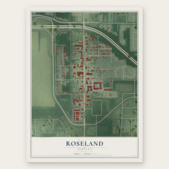
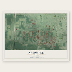
More maps nearby: Indian Village, Gilmer Park, Mishawaka, Chain-O-Lakes and Granger.
The art of mapping a place
How This Map Was Made
Real places. Remarkable detail. Discover the layers that turn geographic data into a map of home.

The view from above
Aerial imagery reveals the character of the land: woodland, open fields, and the patterns of a place.

The shape of the land
Elevation data brings hills, valleys, and subtle changes in the landscape into view.

The details of home
Roads, waterways, and building footprints come together to make the map feel unmistakably local.

Geography becomes art
Considered color, shading, and typography bring the layers together in a map made for your wall.


Process illustrated with Mendon, Massachusetts. Aerial imagery: USDA NAIP. Terrain: USGS 3D Elevation Program. Map details and finished artwork: KNOWOL.
The Details
About This Print
Choose an archival matte print, or a black or white Ayous wood frame. The archival matte print is unframed.
Select your size and finish above to see the matching product image and price.
Materials & Craftsmanship
A contemporary map with the character of a classic atlas, printed on archival matte paper. Optional frames are made from Ayous wood.
Your printed map does not include the watermark shown in the full-map preview.
Shipping & Delivery
Free shipping within the United States. Every print is made to order in the USA.
Buying a gift? Add a note in your cart and we'll include it. We never put prices in the package.
Prints ship within 2 to 3 business days. Allow 7 to 10 days total from ordering for delivery. Timing may vary during holidays or periods of high order volume.
Read our shipping policy.
Returns and damaged prints
Each print is made to order. Change-of-mind refunds are not available after production.
If your print arrives damaged, misprinted or incorrect, contact support@knowol.com within 30 days of receiving it. Include your order number, photos and a description of the issue.
Read our full refund and replacement policy. For questions about your order, email support@knowol.com.