
Search for another town


Free U.S. delivery 7 to 10 days after you order
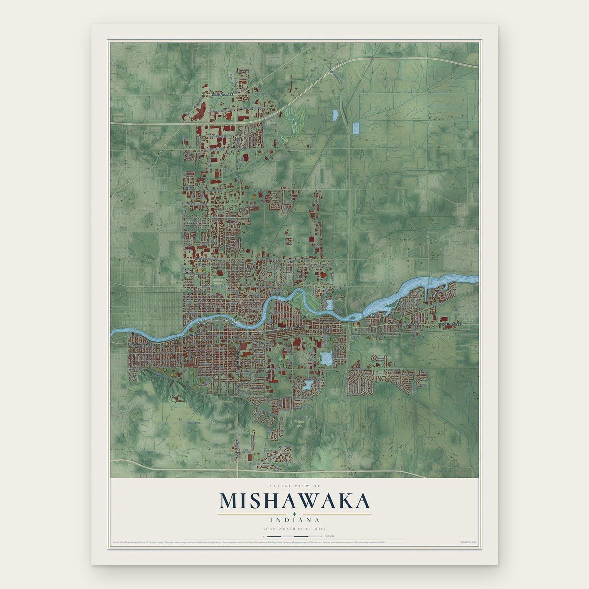
Mishawaka, Indiana Map Art
Building by building, with labeled streets and shaded relief.
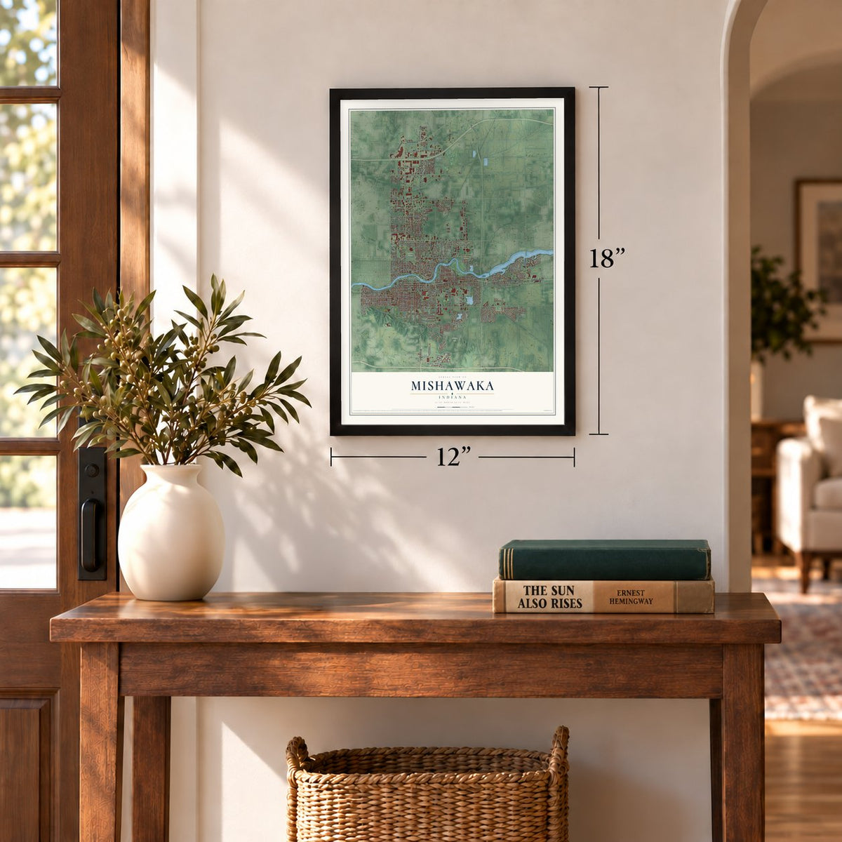
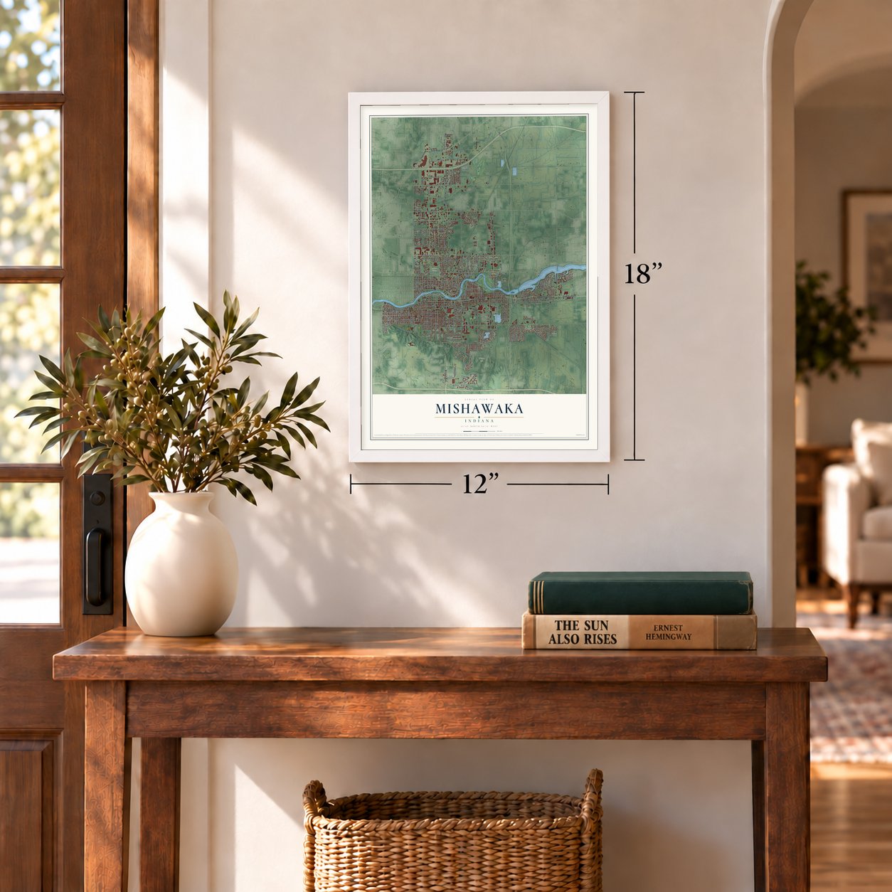
12" x 18" Archival Matte Print
A Map of Home. A Work of Art.
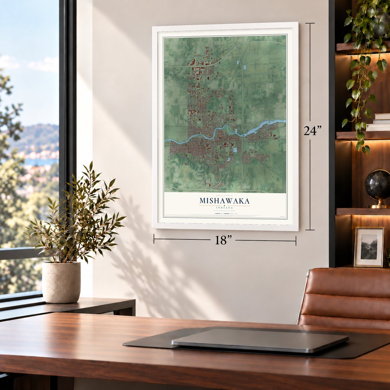
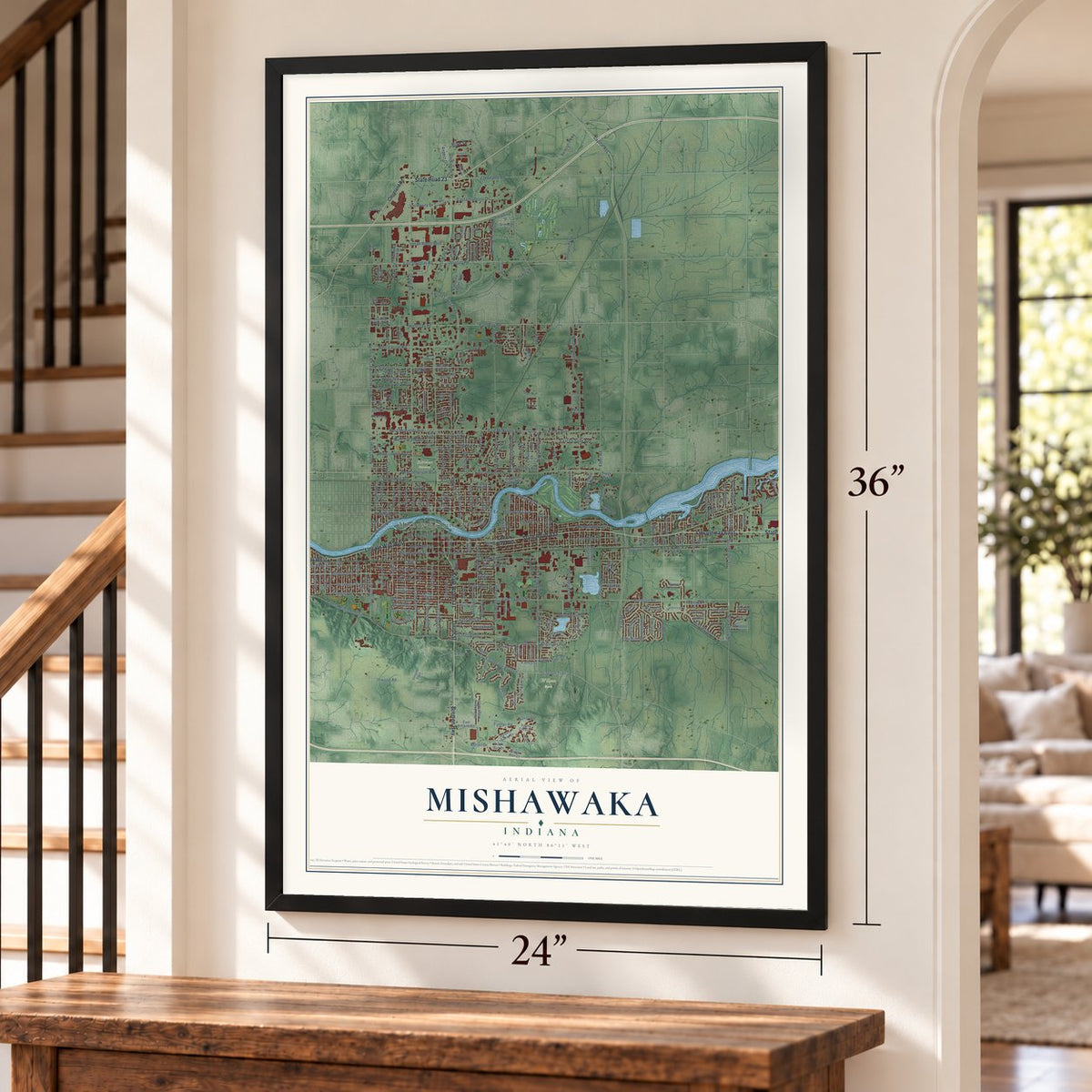
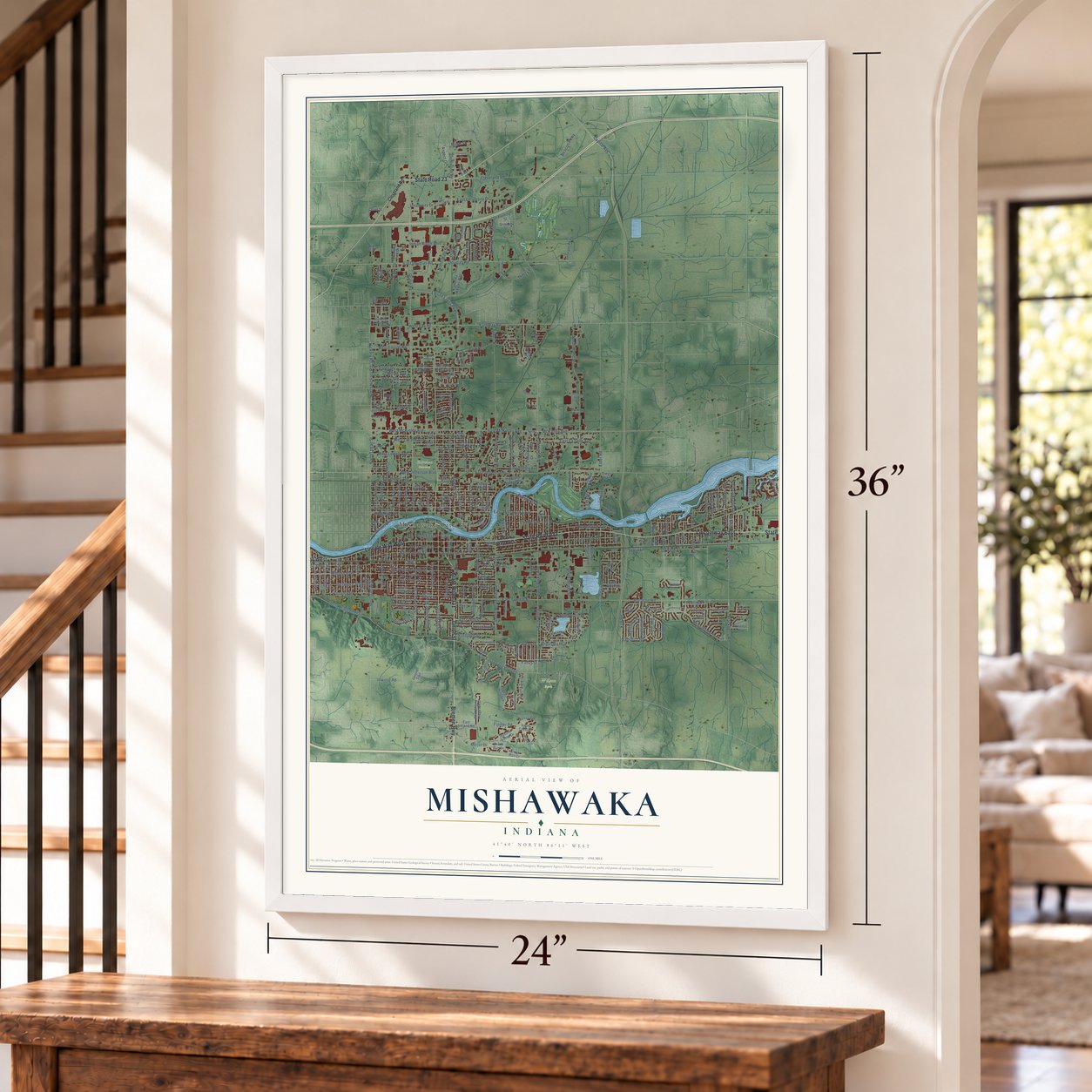
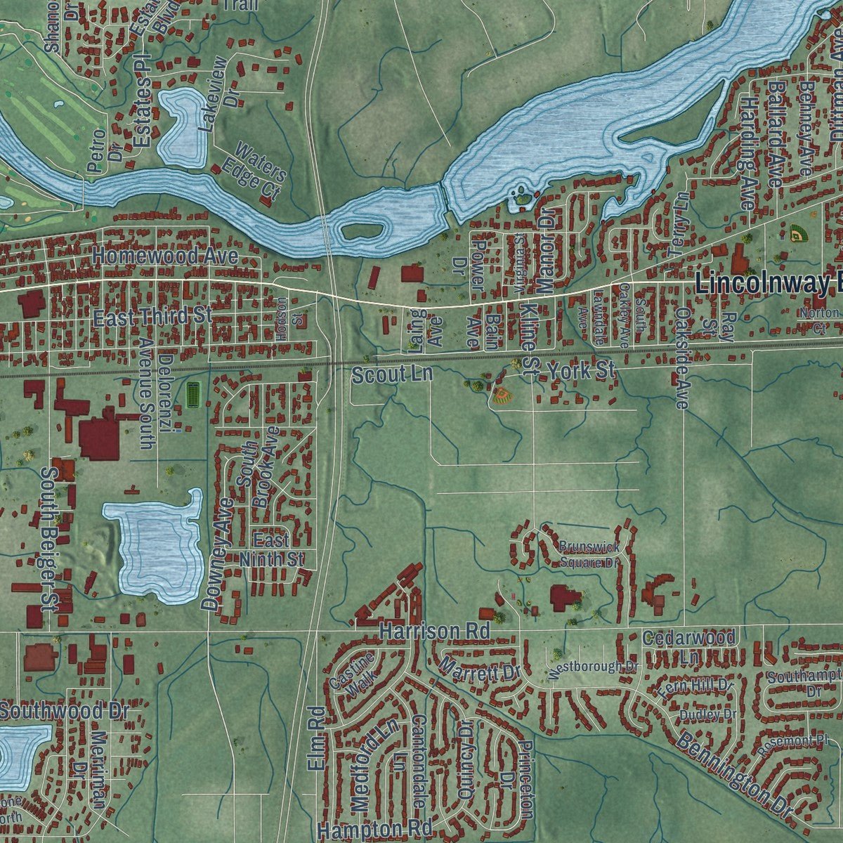
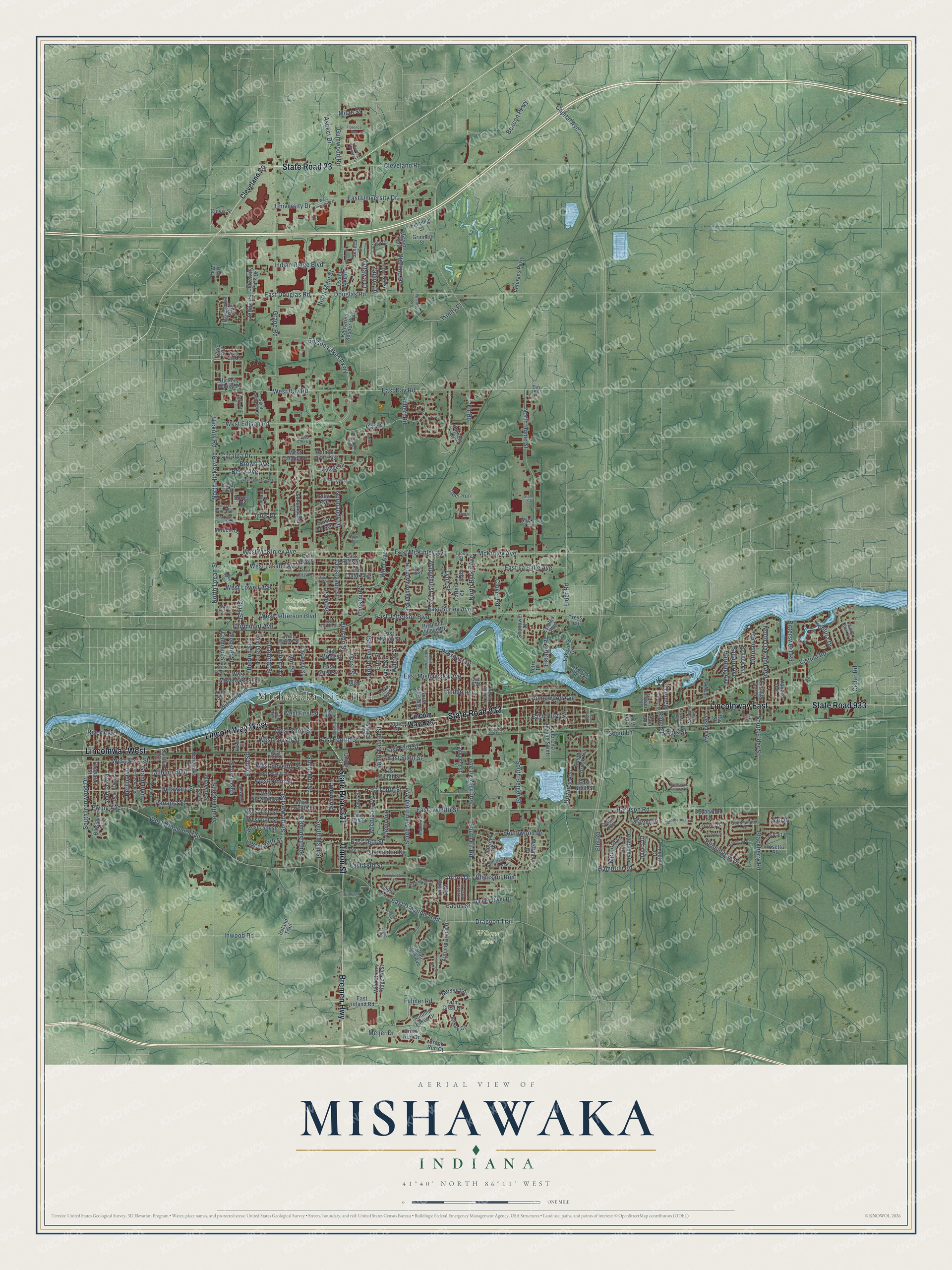
Explore Mishawaka, Indiana from a whole new perspective. Created using aerial imagery and detailed geographic data, this map captures Mishawaka building by building, with labeled streets, familiar landmarks, and shaded topographical relief that highlights the natural contours of the landscape.
Combining modern data with the timeless character of a vintage atlas, this map is just as interesting up close as it is beautiful on the wall. Whether you grew up in Mishawaka, spent memorable years there, or call it home today, this unique map is a great way to celebrate a place that means something to you. Zoom in on the preview to look for your street, and then order a print to put your memories on the wall.
Three ways to hang it
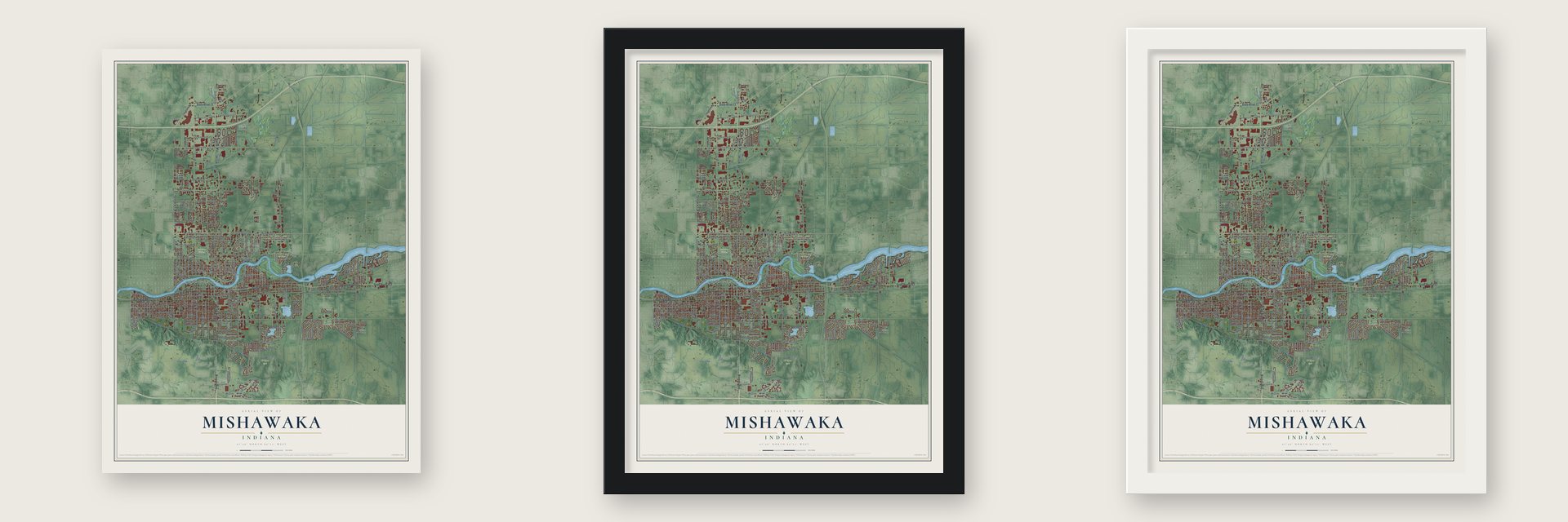
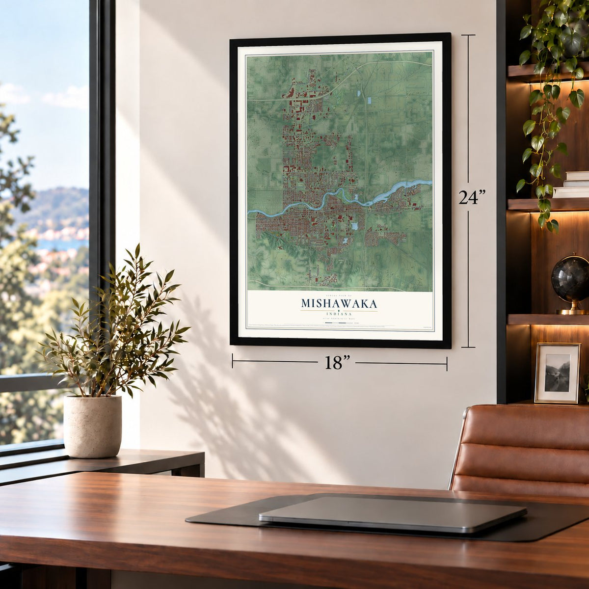
Unframed archival matte, a black wood frame or a white wood frame.
Up close
Geography Worth Displaying
This map was created using accurate cartographic data and authoritative geographic sources, including the U.S. Geological Survey and the Census Bureau. The map brings together terrain, waterways, roads, and building detail. The majority of the streets are labeled, houses are accurately depicted, and the topography is derived from government sources. Combining local data with carefully composed color and shading leads to this beautifully detailed Mishawaka artwork for your wall.
Rather than simply showing street outlines, we’ve included as many of the street names as we could reasonably fit on the map while keeping their names legible. Zoom in on the high resolution preview to see exactly what’s on the map. We truly set out to create a statement piece for anyone who loves Mishawaka. So whether it’s for you, or a gift for someone you love, we hope this map of Mishawaka brings back fond memories.
Read the story behind this map of Mishawaka, Indiana from 2026.

Find your street
Names on the Mishawaka map
Every name below is printed on this map. Look for your street, your school, the park where you played, or the pond down the road.
Places and landmarks3
- Mishawaka City Hall
- Fairview Cemetery
- Wilson Park
Streets and roads320
- State Road 933
- Lincolnway East
- State Road 331
- Lincolnway West
- Lincoln Way West
- State Road 23
- Bremen Highway
- Union Street
- Edison Lakes Parkway
- Harrison Road
- East Day Road
- West 16th Street
- South Fir Road
- South Byrkit Avenue
- East 16th Street
- South West Street
- North Byrkit Avenue
- Downey Avenue
- Blackberry Road
- Penn Avenue
- West Day Road
- East Third Street
- Fir Road
- Hickory Road
- East University Drive
- West Edison Road
- Prospect Drive
- Arbor Drive
- North Main Street
- Grape Road
Show all 320 streets
- Capital Avenue
- Douglas Road
- East Fourth Street
- Milburn Boulevard
- East Twelfth Street
- East McKinley Avenue
- East Jefferson Boulevard
- East Douglas Road
- West Sixth Street
- North Home Street
- South Logan Street
- West Dragoon Trail
- McKinley Avenue
- Beacon Parkway
- North Cedar Street
- Cleveland Road
- Homewood Avenue
- Vistula Road
- North Logan Street
- South Merrifield Avenue
- East La Salle Avenue
- East Sixth Street
- East Mishawaka Avenue
- Division Street
- East Dragoon Trail
- South Main Street
- Bennington Drive
- Linden Avenue
- South Spring Street
- West Ninth Street
- Benton Street
- Delaware Street
- Fulmer Road
- Sarah Street
- Webster Street
- Liberty Drive
- Park Place
- Christyann Street
- East Fifth Street
- Forest Avenue
- Clay Street
- Charlotte Street
- West Fourth Street
- North Hickory Road
- West Seventh Street
- Clover Road
- South Beiger Street
- West Jefferson Boulevard
- York Street
- Inwood Road
- Calhoun Street
- West McKinley Avenue
- Chestnut Street
- East Borley Avenue
- Cedar Road
- West Lasalle Avenue
- Indian Ridge Boulevard
- East Tenth Street
- South Laurel Street
- Bittersweet Road
- Trinity Place
- North Oakland Avenue
- Panama Street
- Filbert Road
- Southwood Drive
- South Ironwood Drive
- West Third Street
- South Mill Street
- Elder Road
- Normandy Drive
- University Drive
- Gumwood Road
- Meijer Drive
- Maplehurst Avenue
- Lynn Street
- West Lowell Avenue
- East 18th Street
- Elm Road
- Cleveland Street
- Catalpa Drive
- Berry Avenue
- Brown Avenue
- Dragoon Trail
- Willow Street
- Ballard Avenue
- Ann Street
- Imus Drive
- Ottawa Court
- Wilson Boulevard
- South Elder Street
- River Avenue
- Grand Boulevard
- Mossy Lane
- Smith Street
- Ewing Avenue
- Fairmount Avenue
- Geyer Avenue
- Sterling Drive
- Pheasant Run
- Michigan Avenue
- Hampton Road
- Estates Place
- Locust Street
- Harding Avenue
- Berlin Avenue
- Dittman Avenue
- Kline Street
- Medford Lane
- Oak Street
- Lovechio Drive
- Ventura Drive
- West First Street
- Manor Drive
- Elm Street
- Eadus Street
- Aspect Drive
- Summit Lane
- Went Avenue
- Scout Lane
- Zappia Drive
- Jenny Lane
- Milan Street
- Sail Drive
- Lincoln Way East
- Catalpa Drive East
- West 15th Street
- Mission Trail
- East Ireland Road
- Petro Drive
- North Merrifield Avenue
- Blair Hills Avenue
- West Mishawaka Avenue
- East Grove Street
- East Ninth Street
- West Eleventh Street
- East Marion Street
- East Battell Street
- Autumn Lakes Drive
- East Eighth Street
- West 13th Street
- West 14th Street
- East Colfax Avenue
- Osage Lake Drive
- South Brook Avenue
- West Twelfth Street
- Campbell Street
- Hendricks Street
- Carlton Street
- Jersey Circle
- Schumacher Drive
- Brook Run Drive
- Seneca Drive
- Park Avenue
- Katharina Kasper Way
- Delorenzi Avenue South
- Burdette Street
- Elizabeth Street
- East 13th Street
- Wild Cherry Ridge West
- Estates Boulevard
- Village Drive
- Autumn Trails Drive
- Deer Run
- Hubbard Street
- Terry Lane
- East Russ Street
- Cantondale Lane
- Farm Crest Drive
- Miracle Lane
- Merriman Drive
- North Niles Avenue
- Fallcreek Drive
- Princeton Drive
- Oakside Avenue
- Gauley River Drive
- Hickory Village Drive
- Veterans Parkway
- Highland Village Drive
- Blossom Drive
- West Catalpa Drive
- Lakeshore Boulevard
- Cedarwood Lane
- Saint Lo Avenue
- Behney Avenue
- Lakeview Drive
- Iowa Street
- University Park Drive
- Wabash Avenue
- Laurel Street
- Rosetta Place
- Marrett Drive
- North Elder Street
- Wild Rose Lane
- Quincy Drive
- Shanower Drive
- Corby Street
- Palau Avenue
- Cove Place
- Carter Court
- Fleming Street
- Vine Street
- Spruce Court
- Power Drive
- Eagle Trail
- Clovis Street
- Brook Run Court
- Grinnell Street
- Durham Lane
- Irish Way
- Ireland Trail
- Waters Edge Court
- Bugle Lane
- Treys Trail
- Ray Street
- Mick Court
- Bain Avenue
- Laing Avenue
- Ell Street
- Day Road
- Victoria Street
- Douthart Place
- West Eighth Street
- West Marion Street
- West Russ Street
- Saint Andrews Circle
- Cottage Circle
- Dale Avenue
- Queensboro Avenue
- Jackson Street
- Somerset Avenue
- Southampton Drive
- West Fifth Street
- Cottage Parkway
- Deepwood Drive
- North Victoria Street
- Industrial Drive
- Fern Hill Drive
- Peace Rose Lane
- Baker Street
- Blue Jay Lane
- Castine Walk
- Alex Way
- East First Street
- South Cedar Street
- Windy Cove Court
- Club Boulevard
- Towle Avenue
- Front Street
- Bethel Circle
- West Grove Street
- North Indiana Avenue
- Berkley Circle
- West University Drive
- Parkwood Circle
- Heritage Square Drive
- Iroquois Lane
- East Omer Avenue
- Wood Lane
- East Stanley Street
- West Eisenhower Drive
- West Colfax Avenue
- Charleston Drive
- Sutton Drive
- East 17th Street
- Cobblestone Circle North
- Westborough Drive
- Rosemont Place
- Brunswick Square Drive
- Hodson Street
- Steeplechase Drive
- West Borley Avenue
- Pin Oak Drive South
- Pin Oak Drive North
- South Oakley Avenue
- Red Coach Drive
- Park Place West
- Birchwood Drive
- Dudley Drive
- Huntington Place
- Virginia Street
- Ridge Place
- Norton Court
- South Race Street
- Creek Pointe Road
- Lawndale Avenue
- Princess Drive
- Florence Avenue
- Pregel Drive
- Steele Lane
- Stone Court
Names are listed as they appear on the printed map. Zoom into the product photos to find them.
About Mishawaka, Indiana
Mishawaka is a city of 51,063 people in St. Joseph County, on the St. Joseph River. Settlers first came here for the bog iron in the ground. In July 1833 A. M. Hurd laid out a village called St. Joseph Iron Works on the river's south bank, a few miles upstream from South Bend. He had bought the site, which was school land, after promising to build a blast furnace on it, and the furnace was finished in 1834.
A post office opened in the spring of 1834 under the Indian name Mishawaka. The name came from a village that had once stood on the town's west side. The county history says the word meant "swift water" or "thick-woods rapids," and both fit a spot with a fast current and heavy timber on each bank. In 1839 the iron works village, its two additions and Indiana City, laid out across the river in 1836, joined as one town named Mishawaka. The furnaces kept running until 1850, when the ore gave out.
“In the autumn, Orlando Hurd constructed the Mishawaka Hotel, which became known as the best hotel on the Vistula Road between Chicago and Toledo.”
- First dam on the St. JosephThe St. Joseph Iron Company was incorporated on January 22, 1835, and built a dam that same year. It was the first dam anywhere on the St. Joseph River. Before it went in, tow boats and steamboats traveled upriver as far as Three Rivers, Michigan. Mr. Taylor built the town's first flour mill in 1835, and in 1837 the first bridge over the St. Joseph went up at Mishawaka.
- A fire, then factoriesIn September 1872 a fire burned three quarters of the business district. Residents rebuilt and drew new industry, including Perkins Windmills, the Dodge Manufacturing Company and the Mishawaka Woolen and Rubber Company, which became Ball Band. Ball Band made rubber garments and came through a major strike in 1931. It thrived in the 1940s, but cheaper imports finally closed it in 1997.
- Peppermint and the SimplexIn the late 19th century the dark loam around Mishawaka grew so much mint that the city was called the Peppermint Capital of the World. From 1906 to 1915 the American Simplex, a luxury motor car, was built here.
- The Princess City legendThe nickname comes from an 1875 story by Michigan author Flavius J. Littlejohn about a Shawnee chief's daughter he named Mishawaha. The tale was fiction, but it caught on. In 1932 the Daughters of the American Revolution put up a symbolic grave marker for her to promote the city's centennial, and many residents came to believe she was real.
Keep exploring Indiana
Mishawaka is one of 1,023 Indiana towns we've mapped. Every dot on the map is a print of its own.
The search covers every state, Indiana first.
Near Mishawaka
Order 2 or more town maps and save 10%. Shown in the size and finish you picked above, so they hang as a set.
- Notre Dame 12" x 18" / Archival Matte Print $39.99
- Indian Village 12" x 18" / Archival Matte Print $39.99
- Granger 12" x 18" / Archival Matte Print $39.99

More maps nearby: Osceola, Roseland, South Bend, Gilmer Park and Ardmore.
The art of mapping a place
How This Map Was Made
Real places. Remarkable detail. Discover the layers that turn geographic data into a map of home.

The view from above
Aerial imagery reveals the character of the land: woodland, open fields, and the patterns of a place.

The shape of the land
Elevation data brings hills, valleys, and subtle changes in the landscape into view.

The details of home
Roads, waterways, and building footprints come together to make the map feel unmistakably local.

Geography becomes art
Considered color, shading, and typography bring the layers together in a map made for your wall.


Process illustrated with Mendon, Massachusetts. Aerial imagery: USDA NAIP. Terrain: USGS 3D Elevation Program. Map details and finished artwork: KNOWOL.
The Details
About This Print
Choose an archival matte print, or a black or white Ayous wood frame. The archival matte print is unframed.
Select your size and finish above to see the matching product image and price.
Materials & Craftsmanship
A contemporary map with the character of a classic atlas, printed on archival matte paper. Optional frames are made from Ayous wood.
Your printed map does not include the watermark shown in the full-map preview.
Shipping & Delivery
Free shipping within the United States. Every print is made to order in the USA.
Buying a gift? Add a note in your cart and we'll include it. We never put prices in the package.
Prints ship within 2 to 3 business days. Allow 7 to 10 days total from ordering for delivery. Timing may vary during holidays or periods of high order volume.
Read our shipping policy.
Returns and damaged prints
Each print is made to order. Change-of-mind refunds are not available after production.
If your print arrives damaged, misprinted or incorrect, contact support@knowol.com within 30 days of receiving it. Include your order number, photos and a description of the issue.
Read our full refund and replacement policy. For questions about your order, email support@knowol.com.