
Search for another town

Free U.S. delivery 7 to 10 days after you order
Fishers, Indiana Map Art
Building by building, with labeled streets and shaded relief.
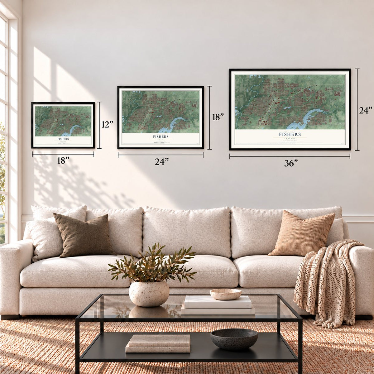
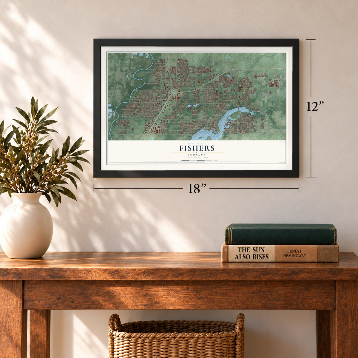
12" x 18" Archival Matte Print
A Map of Home. A Work of Art.
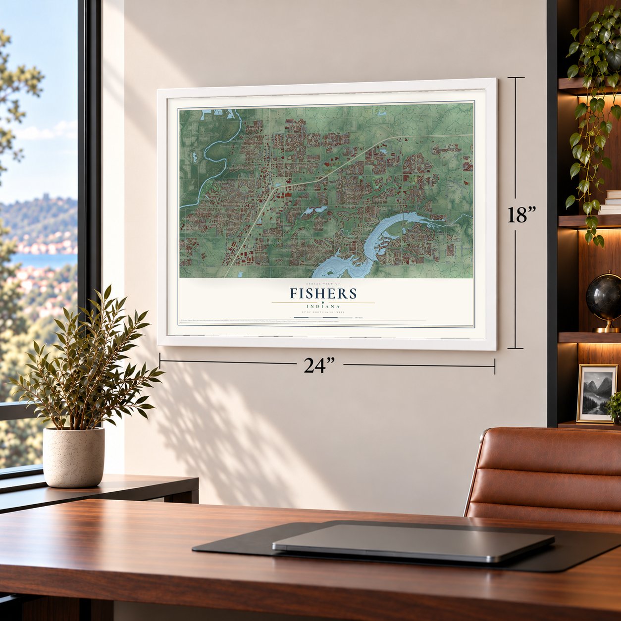
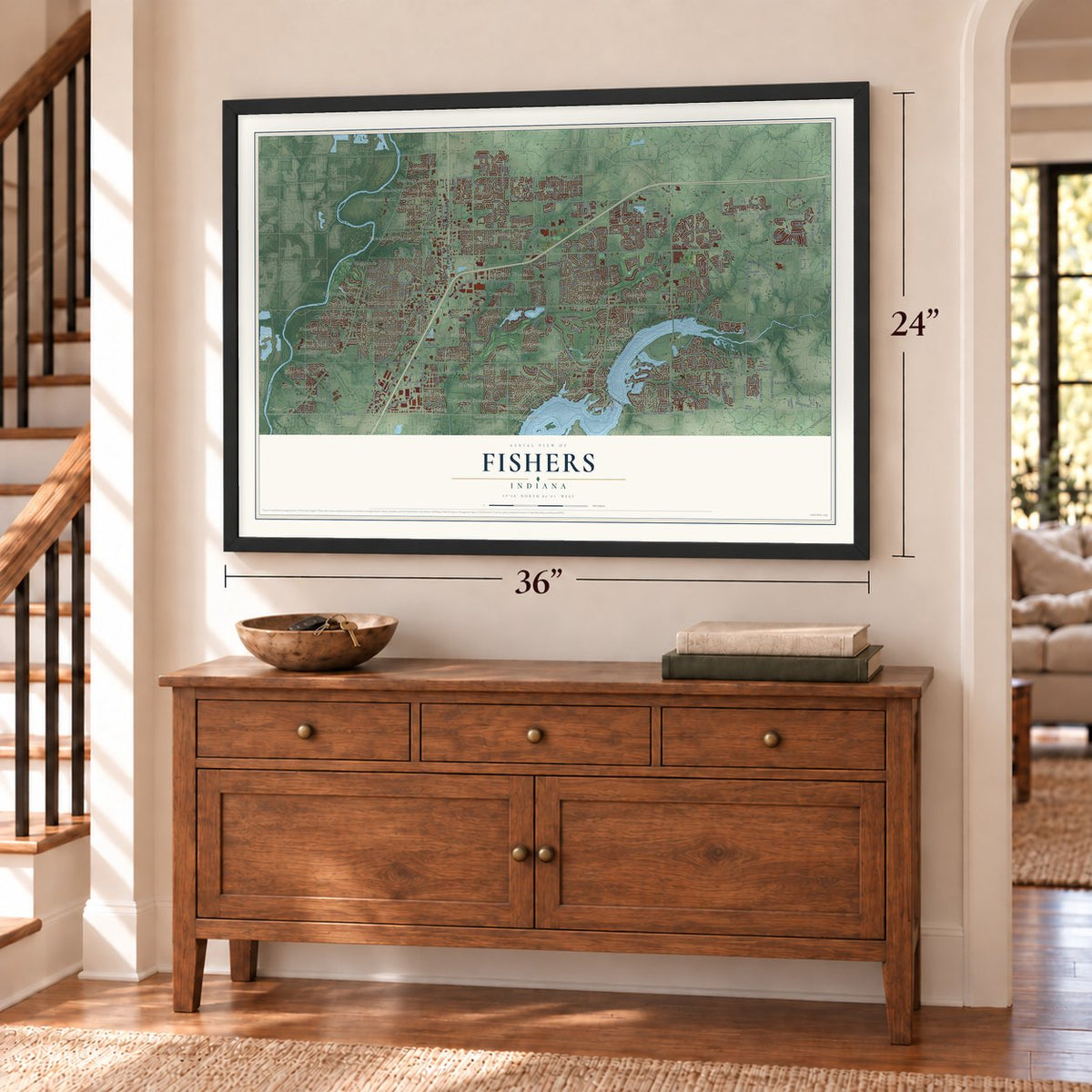
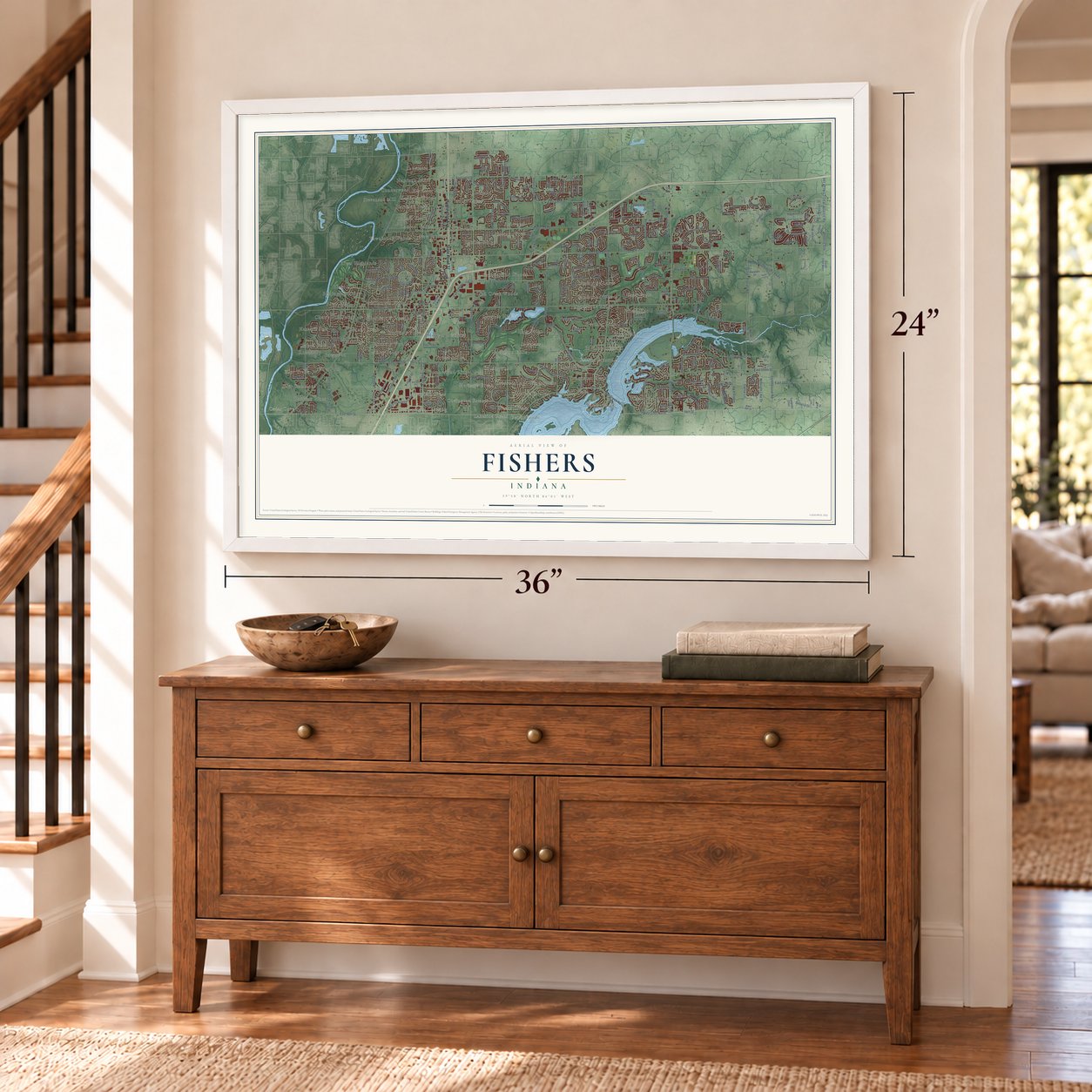
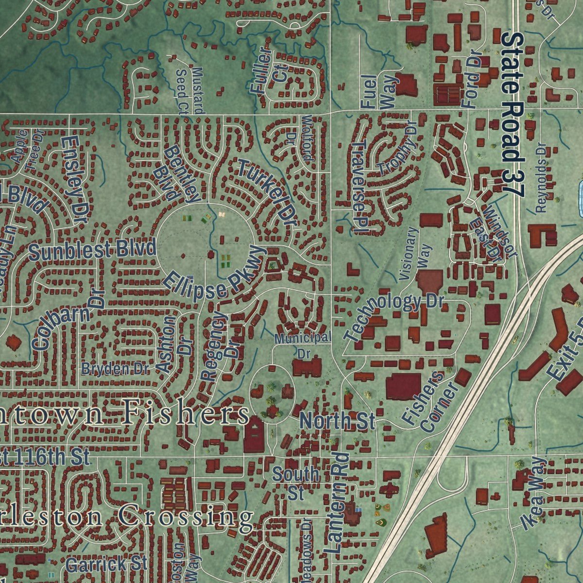
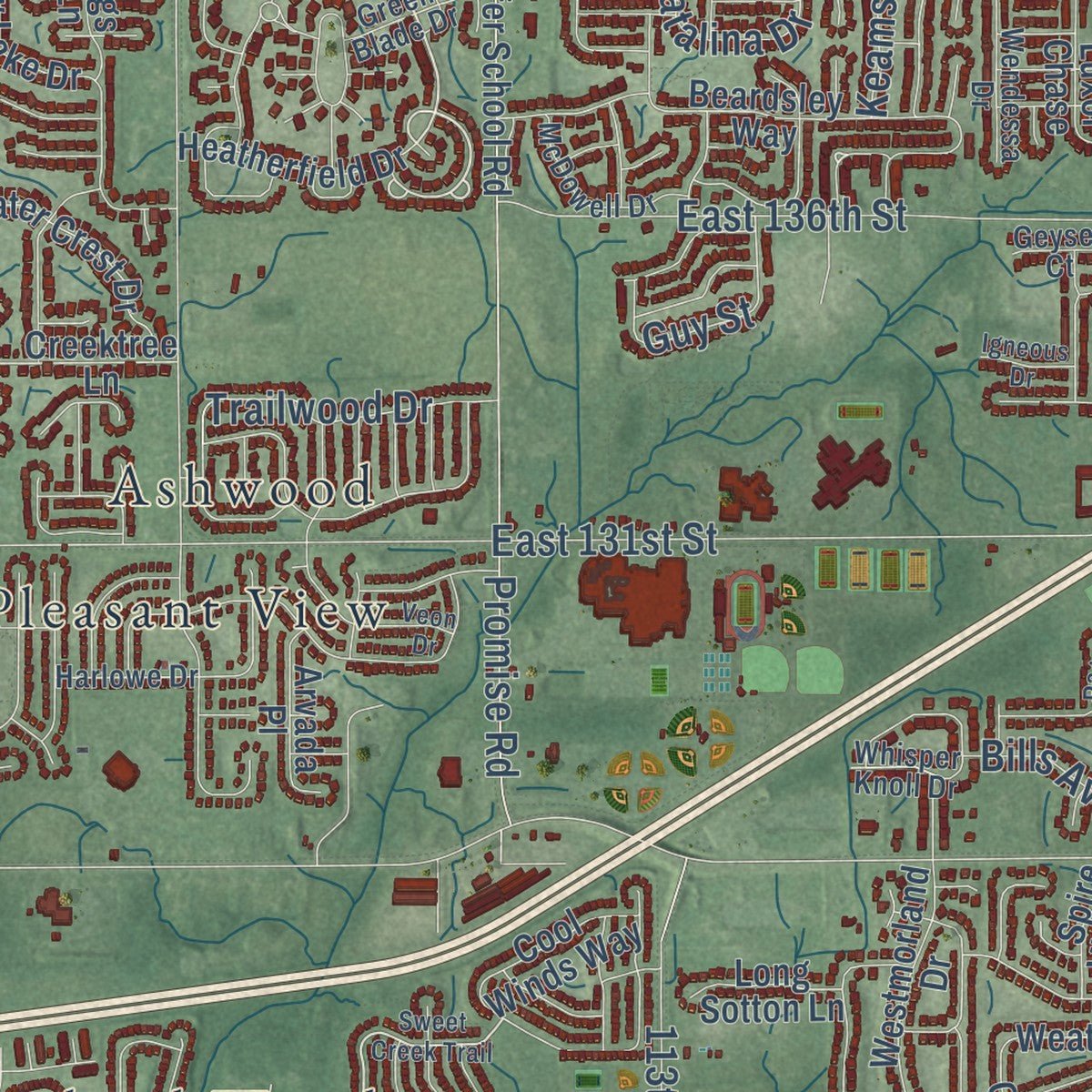
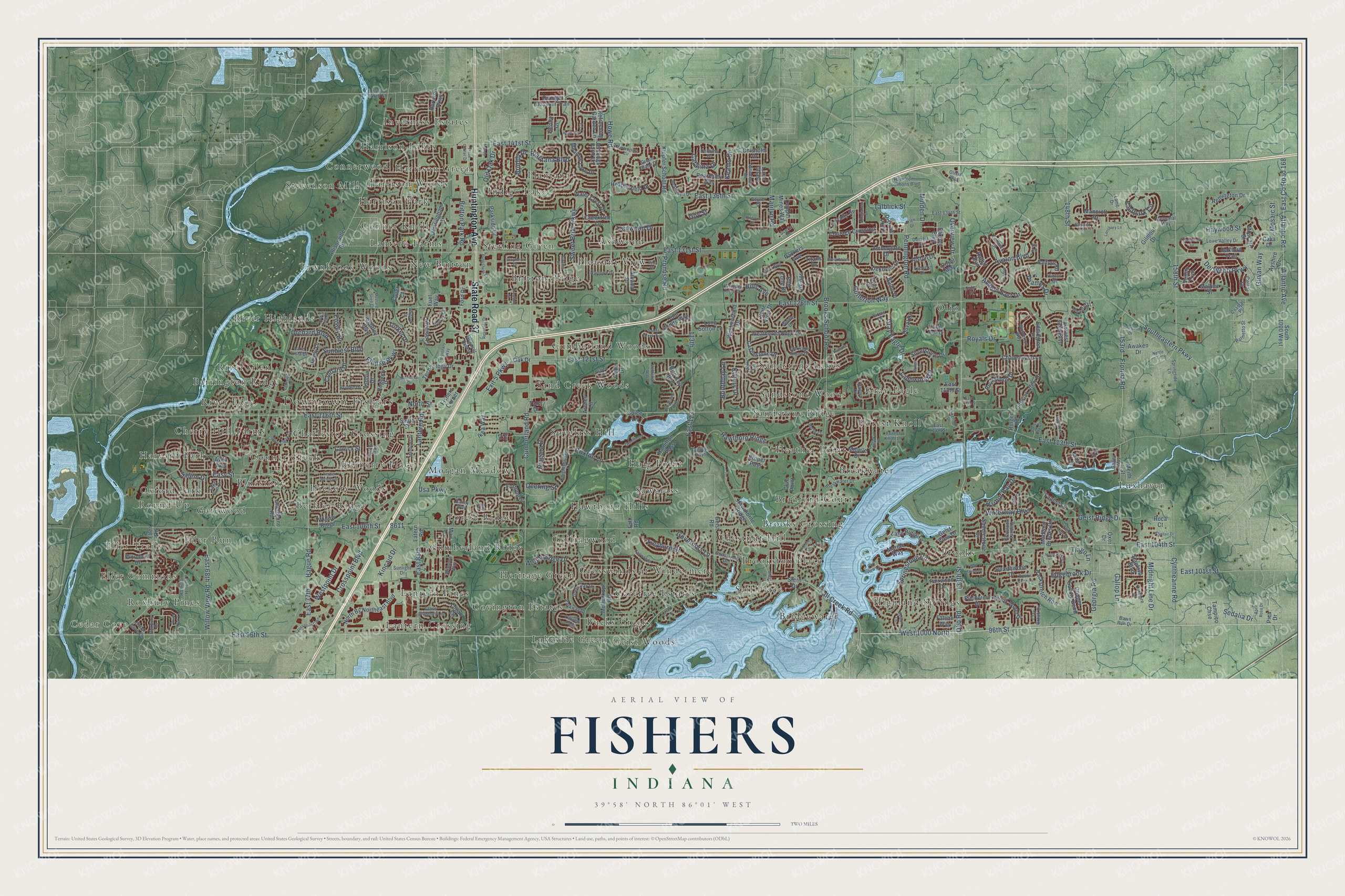
Explore Fishers, Indiana from a whole new perspective. Created using aerial imagery and detailed geographic data, this map captures Fishers building by building, with labeled streets, familiar landmarks, and shaded topographical relief that highlights the natural contours of the landscape.
Combining modern data with the timeless character of a vintage atlas, this map is just as interesting up close as it is beautiful on the wall. Whether you grew up in Fishers, spent memorable years there, or call it home today, this unique map is a great way to celebrate a place that means something to you. Zoom in on the preview to look for your street, and then order a print to put your memories on the wall.
Three ways to hang it
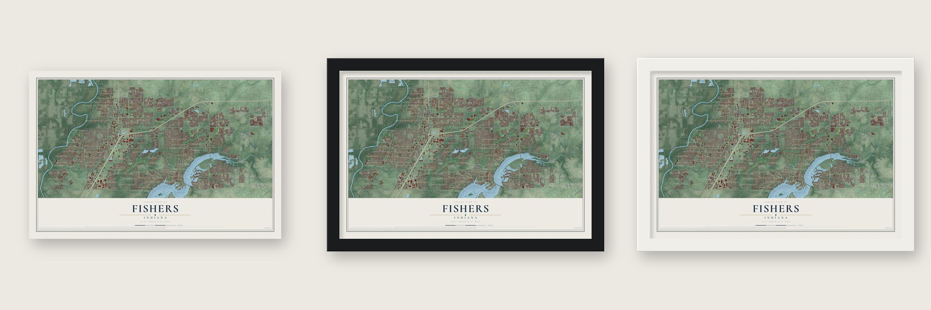
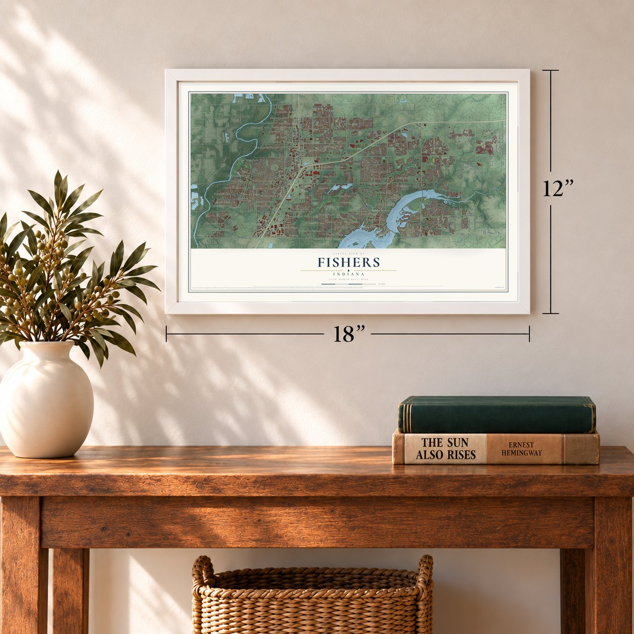
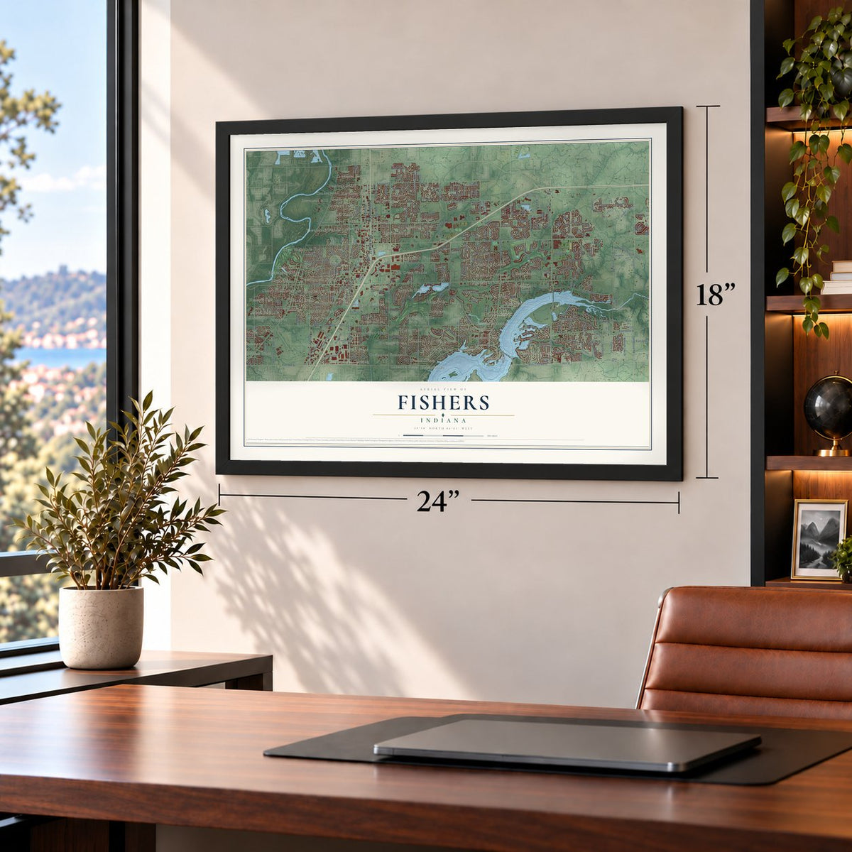
Unframed archival matte, a black wood frame or a white wood frame.
Up close
Geography Worth Displaying
This map was created using accurate cartographic data and authoritative geographic sources, including the U.S. Geological Survey and the Census Bureau. The map brings together terrain, waterways, roads, and building detail. The majority of the streets are labeled, houses are accurately depicted, and the topography is derived from government sources. Combining local data with carefully composed color and shading leads to this beautifully detailed Fishers artwork for your wall.
Rather than simply showing street outlines, we’ve included as many of the street names as we could reasonably fit on the map while keeping their names legible. Zoom in on the high resolution preview to see exactly what’s on the map. We truly set out to create a statement piece for anyone who loves Fishers. So whether it’s for you, or a gift for someone you love, we hope this map of Fishers brings back fond memories.
Read the story behind this map of Fishers, Indiana from 2026.
Find your street
Names on the Fishers map
Every name below is printed on this map. Look for your street, your school, the park where you played, or the pond down the road.
Places and landmarks74
- Downtown Fishers
- Cedar Cove
- Eller Trails
- Eller Commons
- Ashwood
- Barrington Ridge
- Berkley Ridge
- Bluestone
- Bradford Court
- Breakwater
- Bridgewater
- Britton Ridge
Show all 74 places
- Brooks
- Brooks Crossing
- Brookston Place
- Bucks Creek
- Burberry Place
- Carefree Estates
- Charleston Crossing
- Cherry Hill Farms
- Chestnut Hill
- Collingwood
- Conner Creek
- Conner Knoll
- Connerwood
- Covington Estates
- Crosswinds at Windermere
- Cumberland Ridge
- Cumberland Woods
- Eller Run
- Fawnbrook Woods
- Forest Knoll
- Forest Ridge
- Gatewood
- Geist Woods
- Gray Eagle
- Haig Point
- Harrison Green
- Harrison Lakes
- Harrison Park
- Harrison Woods
- Harvard Park
- Hawthorn Hills
- Heather Point
- Heritage Green
- Hickory Woods
- Highland Springs
- Indigo Lake
- Inverness Estates
- Lakeside Green
- Lantern Crossing
- Lantern Farms
- Lantern Pines
- Luxhaven
- Morgan Meadows
- New Britton
- Olio
- Oxford Park
- Plantana
- Pleasant View
- River Edge
- River Glen
- River Highlands
- Round Up
- Roxbury Pines
- Sail Place
- Sand Creek Woods
- Sandstone Lakes
- Sandstone Ridge
- Sandstone Woods
- Sawgrass
- Spyglass Hill
- Sterling Green
- Stevenson Mill
Streets and roads338
- Huntington Avenue
- State Road 37
- East 96th Street
- 96th Street
- West 1000 North
- Fall Creek Road
- Del Webb Parkway
- East 126th Street
- East 116th Street
- East 131st Street
- East 106th Street
- East 136th Street
- 138th Street
- Olio Road
- Cumberland Road
- Lantern Road
- Brooks School Road
- Southeastern Parkway
- Hawthorn Ridge
- East 141st Street
- Cyntheanne Road
- East 113th Street
- East 104th Street
- East 77th
- Hague Road
- Usa Parkway
- Florida Road
- Howe Road
- Atlantic Avenue
- Atlantic Road
Show all 338 streets
- East County Road 168
- East 121st Street
- 158th Street
- East 88th
- Gray Eagle Drive
- Promise Road
- Sunblest Boulevard
- Springstone Road
- Kincaid Drive
- 153rd
- Crosspoint Boulevard
- Britton Park Road
- Geist Ridge Drive
- Avalon Boulevard
- Marilyn Road
- East 68th
- Willow View Road
- Ellipse Parkway
- 113th
- Sweet Briar Parkway
- Waterway Boulevard
- Exit 5 Parkway
- Royals Drive
- Harbor Bay Drive
- Georgia Road
- Woods Edge Drive
- Niagara Drive
- Minden Drive
- Pennington Road
- Easy Street
- Eastpark Circle
- Gallop Lane
- Colbarn Drive
- Kittery Drive
- Old Oak Drive
- Brixton Lane
- East 113
- Midnight Line Drive
- Treyburn Drive
- Avalon East Drive
- Plantana Boulevard
- Trailwood Drive
- Sedalia Drive
- Thames Drive
- Edgebrook Drive
- Catalina Drive
- East 101st Street
- Boothbay Lane
- Westpoint Drive
- Talblick Street
- Orchard Boulevard
- Haywood Street
- Landwood Drive
- Cullerton Way
- Governors Lane
- Guy Street
- Ensley Drive
- Overview Drive
- Girvan Way
- 148th Street
- Bruddy Drive
- Turkel Drive
- Deering Street
- Keams Drive
- Salem Drive
- Mosaic Street
- Tiago Lane
- Bills Avenue
- North Street
- Heatherfield Drive
- Backstretch Row
- Vikings Lane
- Remington Drive
- Hearthwood Drive
- End Zone Drive
- Oxer Drive
- Allisonville Road
- South 1000 West
- Harrison Parkway
- Hamilton Pass
- Klepfer School Road
- Eller Road
- Duval Drive
- Parkside Drive
- Latern Road
- Mollenkopf Road
- North By Northeast Boulevard
- Water Crest Drive
- Regency Drive
- Oak Drive
- Royalwood Drive
- Technology Drive
- Meadow Lake Drive
- Geist Road
- Garrick Street
- Orange Blossom Trail
- Silverstone Drive
- Copper Mines Way
- Ranford Boulevard
- Nottingham Court
- Chapelwood Lane
- Creektree Lane
- Alston Drive
- Gatwick View Drive
- Harvest Glen Boulevard
- Cedar Drive
- Weathered Edge Drive
- Westmorland Drive
- Logan Lane
- Eddington Place
- Copper Saddle Bend
- Courage Crossing
- Castlestone Drive
- Cabri Lane
- Muir Lane
- Beardsley Way
- Refreshing Garden Lane
- Club Point
- Mancroft Drive
- Brook Wood Drive
- Fortune Drive
- Ayshire Drive
- Fairwood Drive
- Dekoven Drive
- Ford Drive
- Ambergate Drive
- Traverse Place
- Hawthorne Ridge
- Faucet Lane
- Lake Ridge Lane
- Fishers Corner
- Mojave Drive
- Cool Winds Way
- Madison Brooks Drive
- Bird Key Boulevard
- Heady Lane
- Cosel Way
- Willow Ridge
- Gilmour Drive
- Oakford Trail
- Loyalty Drive
- Luxor Chase
- Jennings Farm Lane
- Saddlestone Drive
- Fieldcrest Drive
- Venito Trail
- Ashton Drive
- Arvada Place
- South Street
- Saxony Boulevard
- Fall Road
- Bentley Boulevard
- Awaken Drive
- Proper Pass
- Marjac Way
- Woodmill Drive
- Tampico Chse
- Balfour Road
- Sherborne Road
- Balbo Place
- Geist View Drive
- Packers Avenue
- Ikea Way
- Cellar Street
- Avila Way
- Long Sotton Lane
- Meith Street
- Chisholm Drive
- Spire View Drive
- Malbec Street
- District Parkway
- Moscato Street
- Archer Lane
- Titans Drive
- Gentry Drive
- Ringer Road
- East 118th Street
- Spice Lane
- Fuel Way
- Stern Drive
- Cava Drive
- Falcon Way
- Ratliff Run
- Fuller Court
- Erie Place
- Lexi Lane
- Pica Drive
- Roca Court
- Taos Drive
- Ivy Lane
- Breakwater Drive
- Windsor East Drive
- Knightsbridge Lane
- Greenway Drive
- Parkway Drive
- Hamilton Commons Boulevard
- Forest Knoll Lane
- Hamilton Hills Lane
- East 146th Street
- Carriage Stone Drive
- Wolverton Way
- Gulfstream Drive
- Glass Chimney Lane
- East 134th Street
- Sunlight Drive
- McDowell Drive
- Memorial Way
- Wendessa Drive
- Loire Valley Drive
- Delmore Drive
- Trophy Drive
- Dorster Street
- Cirrus Drive
- Keyesport Landing
- Hanley Drive
- Clay Brook Drive
- Hawks Nest Drive
- Woodruff Lane
- Boston Way
- Aspen Drive
- Hinton Drive
- Green Blade Drive
- Palmetto Street
- Thor Run Drive
- Lake Run Drive
- Fenwick Street
- Bryden Drive
- Springtide Lane
- Lauren Pass
- Harlowe Drive
- Coastal Place
- Lake Vista Drive
- Bailey Way
- Lamb Drive
- Biddle Drive
- Winslow Way
- Whisper Knoll Drive
- Dobbins Drive
- East 114th Street
- Roxbury Drive
- Dawn Run Drive
- Cedar Cove Lane
- Geyser Court
- Olivia Way
- Bonner Circle
- Galley Way
- Lubeck Drive
- Scoria Drive
- Heron Pass
- Suter Drive
- Sweet Creek Trail
- Lakeside Drive
- Municipal Drive
- Whelchel Drive
- Conner Creek Drive
- Raiders Boulevard
- Bell Plaine Boulevard
- Trebbiano Drive
- Idlewood Drive
- Meadows Drive
- River Oak Lane
- Bristow Lane
- Crosspoint Cmn
- Brookhaven Drive
- Veon Drive
- Fairwoods Drive
- Reynolds Drive
- Apple Tree Drive
- Sinclair Place
- Timber Springs Drive
- Trade Center Drive
- Holly Berry Circle
- Normandy Way
- Publishers Drive
- Oak Haven Drive
- Brooks Edge Lane
- Lakeridge Drive
- Allistair Drive
- Morningtide Circle
- Erlen Drive
- Giselle Way
- Lansbury Lane
- Altamount Drive
- Millen Drive
- Brewton Street
- Wolford Drive
- Visionary Way
- Mustard Seed Court
- Grindstone
- McMichael Way
- Decatur Drive
- Glaser Way
- Allegiance Drive
- Claymore Drive
- Geist Bay Court
- April Rose Drive
- Port View Lane
- Merlin Court
- Igneous Drive
- Treeline Court
- East 117th Street
- Valhalla Lane
- Mundy Drive
- Reston Lane
- Nettle Lane
- Keel Road
- Bay Lane
- Ely Road
Names are listed as they appear on the printed map. Zoom into the product photos to find them.
About Fishers, Indiana
Fishers is a city of 98,977 people in Hamilton County, just north of Indianapolis on the West Fork of the White River. William Conner settled here in 1802 and put up a log cabin and a trading post by the river. Work on the Peru & Indianapolis Railroad began in 1849, and the line drew newcomers to a stop called Fisher's Switch. Salathial Fisher platted the settlement in 1872 where 116th Street now crosses the tracks, and the state incorporated Fisher's Station in 1891.
The post office dropped "Switch" from the name in 1908. Rail shipping fell off, and the town still had only 344 people in 1960. Then State Road 37 was moved to the east side of town and tied into Interstate 69, and farm fields began turning into neighborhoods. Fishers reached 7,000 people in 1989, almost 38,000 by 2000 and 52,390 in a special census in 2003. In 2012 voters made it a city with an elected mayor, 55% to 44%.
- The Ambassador HouseThe West-Harris House went up in 1826 near the White River, at today's 96th Street and Allisonville Road. Addison C. Harris, an Indianapolis lawyer, bought it in 1880 and enlarged it around 1895 as a summer home. Its nickname comes from his years as U.S. minister to Austria-Hungary, 1899 to 1901. On November 19, 1996, it was cut in two and moved to Heritage Park, and it joined the National Register in 1999.
- William Conner's farmAt the 1818 Treaty of St. Mary's, William Conner interpreted for Chief William Anderson, his father-in-law. After Conner died in 1855, his farm drew visitors, and the county historical society marked it in 1927. Eli Lilly bought it in 1934 and restored it, and Earlham College ran it from 1964 until Conner Prairie became independent in 2005. The William Conner House joined the National Register in 1980.
- A village under Geist ReservoirThe Indianapolis Water Company built Geist Reservoir in 1943, fearing that Fall Creek and the White River could not keep up with the city's demand. The little settlement of Germantown lies on its bottom. A plan to triple the lake was rejected in 1978, and homes went up along its shores instead. Fishers annexed 2,200 of those homes on January 2, 2010, after a four-year legal fight.
- Spark!Fishers since 1989The town's summer festival began in 1989 as the Freedom Festival, the same year Fishers passed 7,000 people. Now called Spark!Fishers, it fills the Municipal Complex on the last weekend in June with a parade, a 5k run and walk, food and art vendors and a fireworks show.
Keep exploring Indiana
Fishers is one of 1,023 Indiana towns we've mapped. Every dot on the map is a print of its own.
The search covers every state, Indiana first.
Near Fishers
Order 2 or more town maps and save 10%. Shown in the size and finish you picked above, so they hang as a set.
- New Britton 12" x 18" / Archival Matte Print $39.99
- McCordsville 12" x 18" / Archival Matte Print $39.99
- Noblesville 12" x 18" / Archival Matte Print $39.99
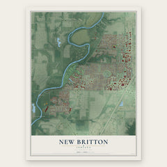
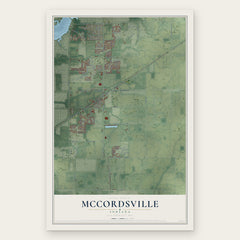
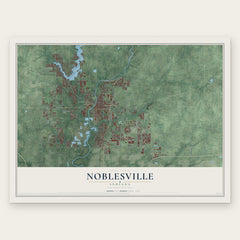
More maps nearby: Castleton, Lawrence, Fortville, Lapel and Ingalls.
The art of mapping a place
How This Map Was Made
Real places. Remarkable detail. Discover the layers that turn geographic data into a map of home.

The view from above
Aerial imagery reveals the character of the land: woodland, open fields, and the patterns of a place.

The shape of the land
Elevation data brings hills, valleys, and subtle changes in the landscape into view.

The details of home
Roads, waterways, and building footprints come together to make the map feel unmistakably local.

Geography becomes art
Considered color, shading, and typography bring the layers together in a map made for your wall.


Process illustrated with Mendon, Massachusetts. Aerial imagery: USDA NAIP. Terrain: USGS 3D Elevation Program. Map details and finished artwork: KNOWOL.
The Details
About This Print
Choose an archival matte print, or a black or white Ayous wood frame. The archival matte print is unframed.
Select your size and finish above to see the matching product image and price.
Materials & Craftsmanship
A contemporary map with the character of a classic atlas, printed on archival matte paper. Optional frames are made from Ayous wood.
Your printed map does not include the watermark shown in the full-map preview.
Shipping & Delivery
Free shipping within the United States. Every print is made to order in the USA.
Buying a gift? Add a note in your cart and we'll include it. We never put prices in the package.
Prints ship within 2 to 3 business days. Allow 7 to 10 days total from ordering for delivery. Timing may vary during holidays or periods of high order volume.
Read our shipping policy.
Returns and damaged prints
Each print is made to order. Change-of-mind refunds are not available after production.
If your print arrives damaged, misprinted or incorrect, contact support@knowol.com within 30 days of receiving it. Include your order number, photos and a description of the issue.
Read our full refund and replacement policy. For questions about your order, email support@knowol.com.