
Search for another town
Free U.S. delivery 7 to 10 days after you order
Noblesville, Indiana Map Art
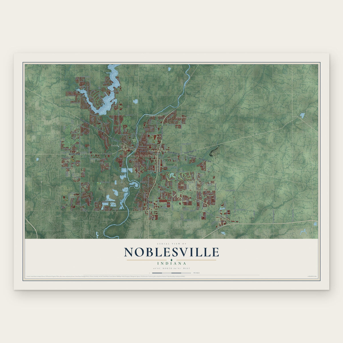
Building by building, with labeled streets and shaded relief.
12" x 18" Archival Matte Print
A Map of Home. A Work of Art.
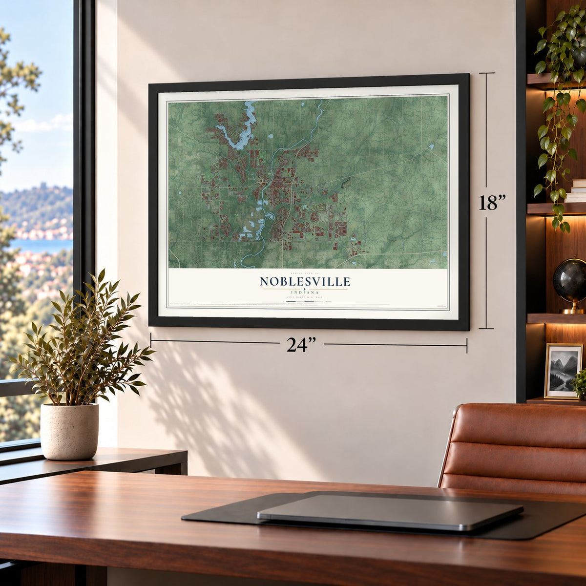
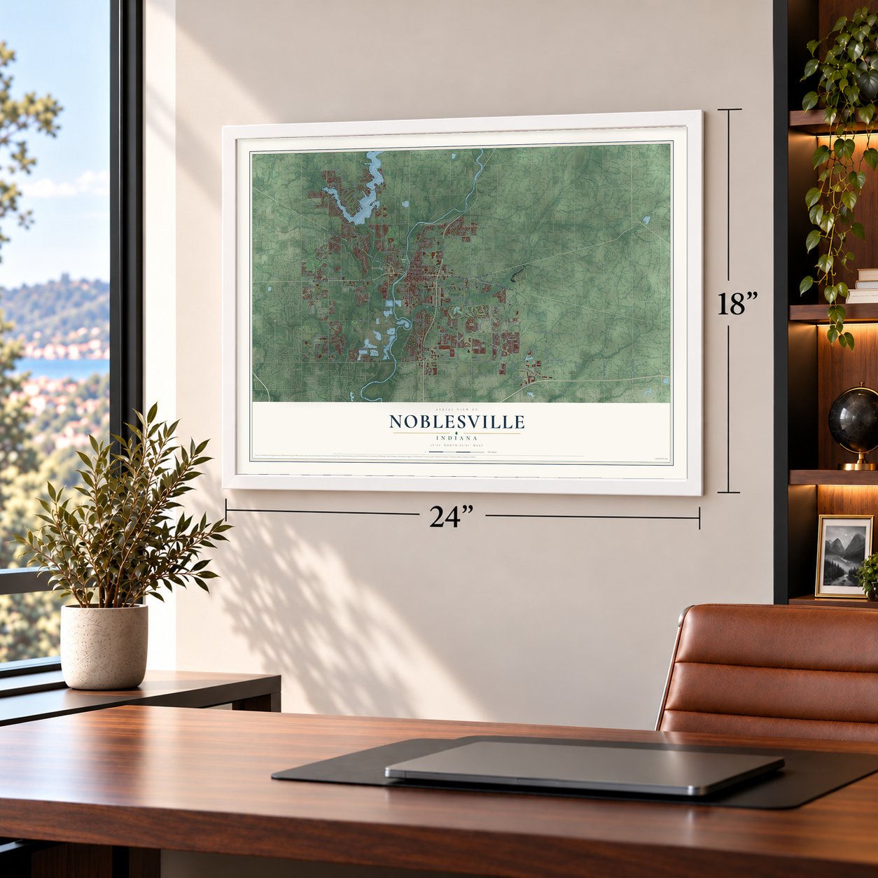
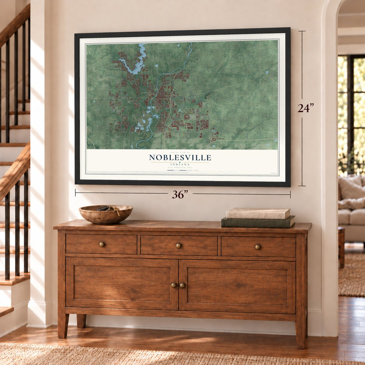
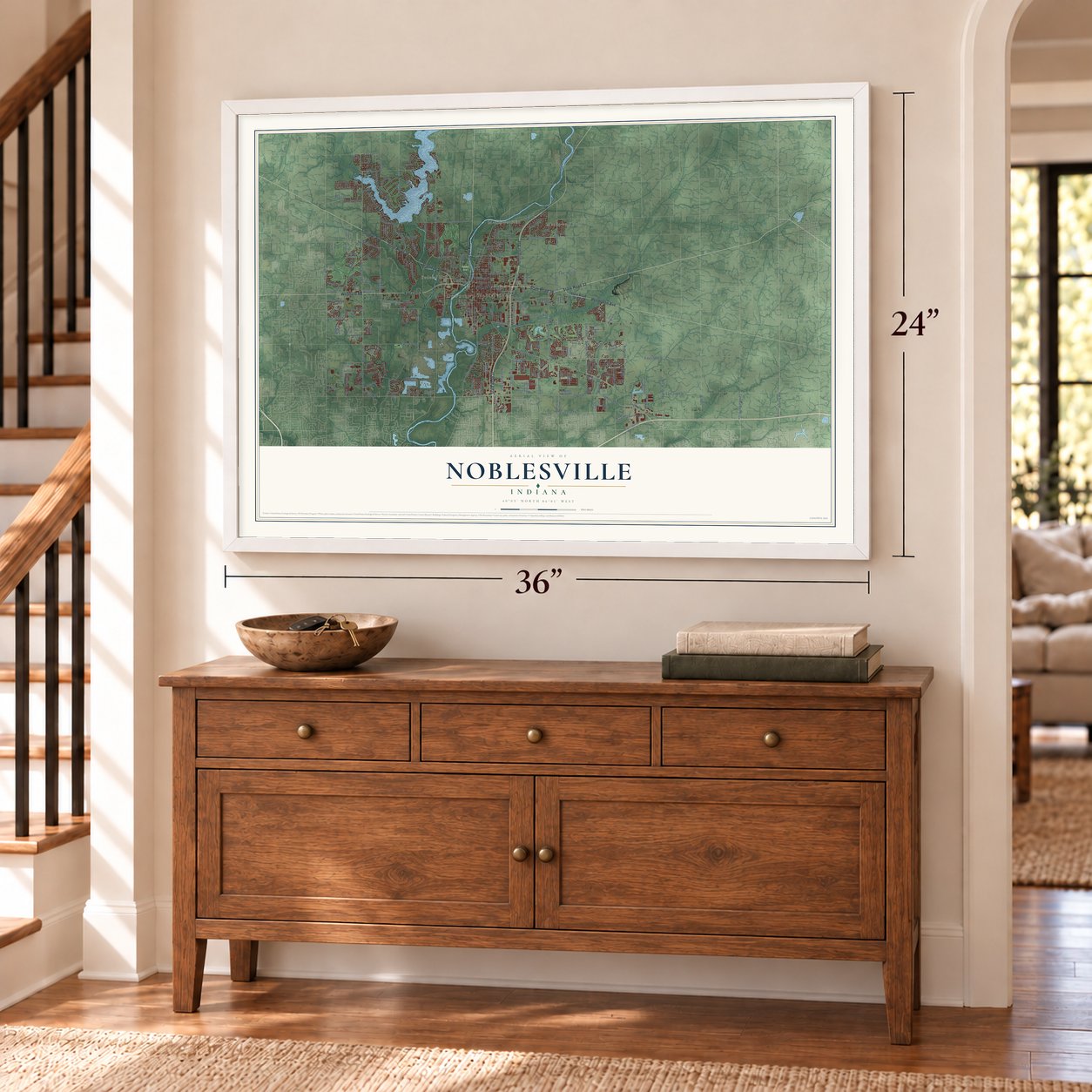
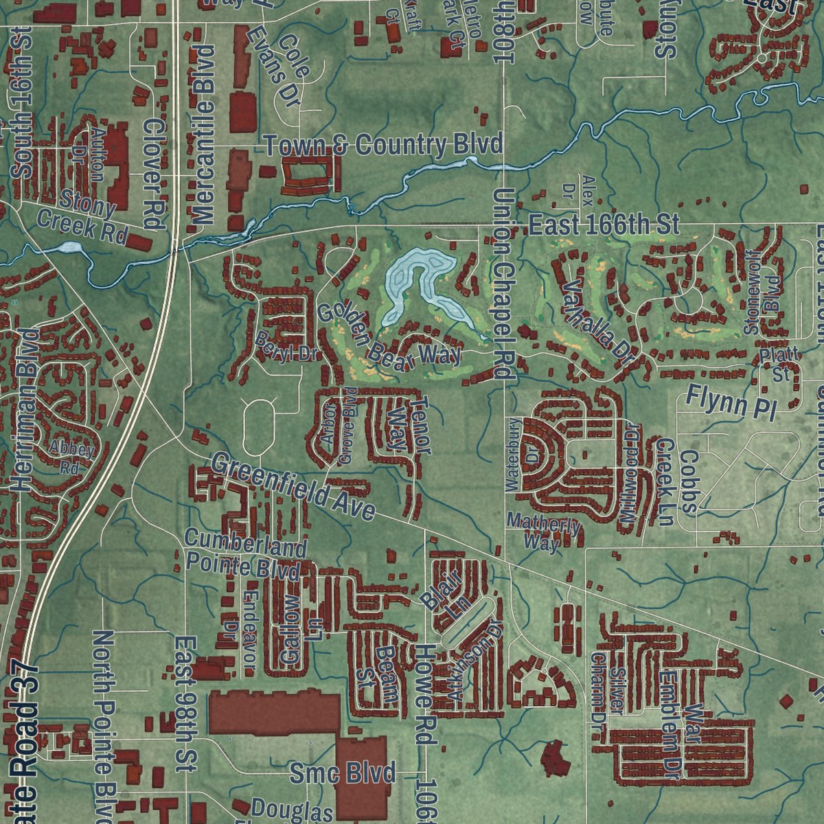
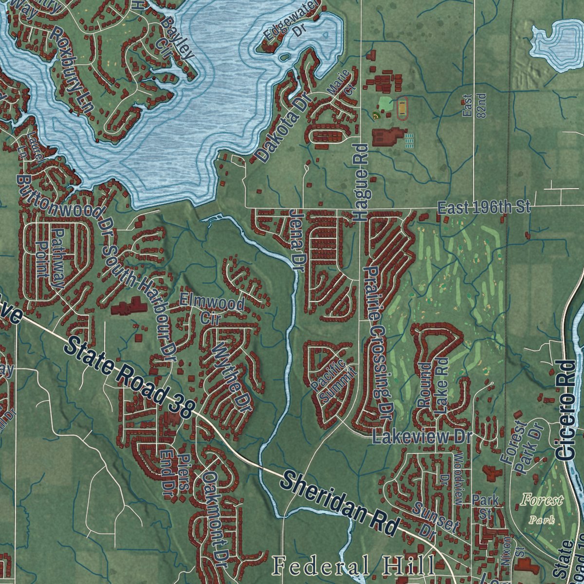
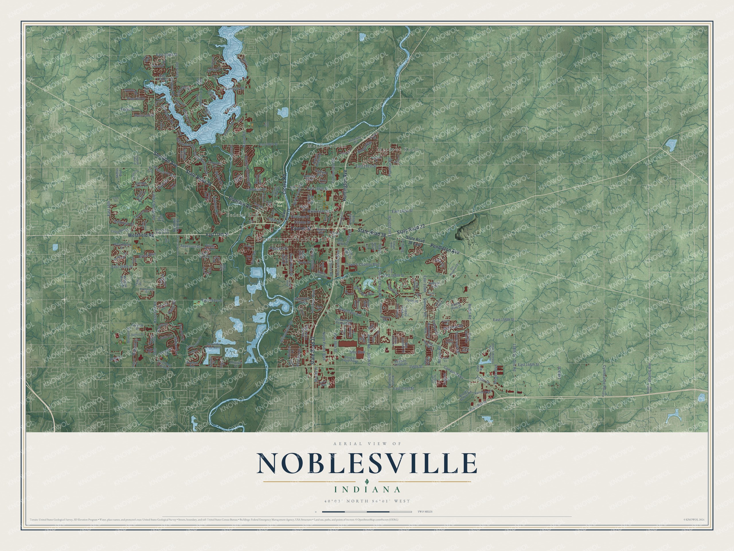
Explore Noblesville, Indiana from a whole new perspective. Created using aerial imagery and detailed geographic data, this map captures Noblesville building by building, with labeled streets, familiar landmarks, and shaded topographical relief that highlights the natural contours of the landscape.
Combining modern data with the timeless character of a vintage atlas, this map is just as interesting up close as it is beautiful on the wall. Whether you grew up in Noblesville, spent memorable years there, or call it home today, this unique map is a great way to celebrate a place that means something to you. Zoom in on the preview to look for your street, and then order a print to put your memories on the wall.
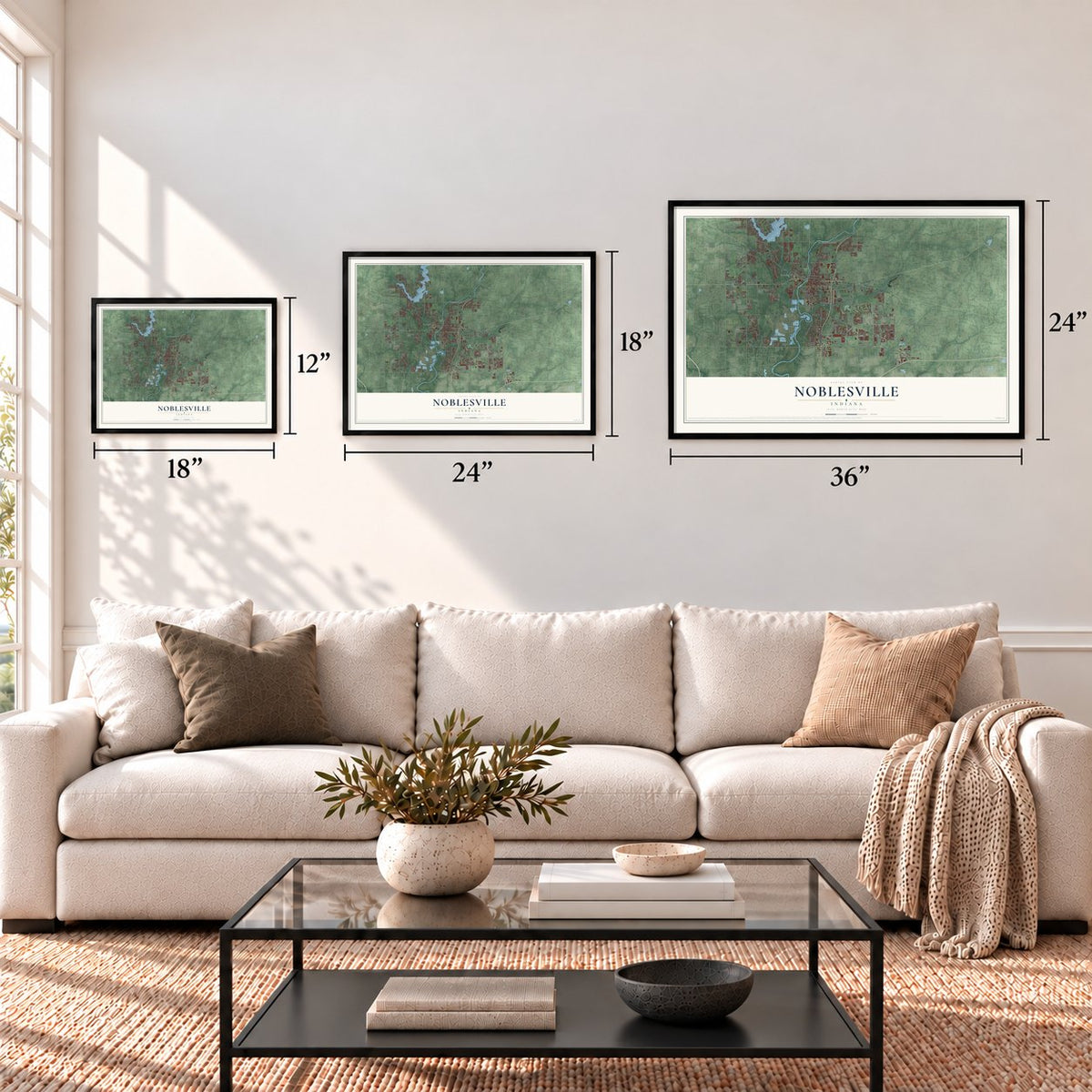
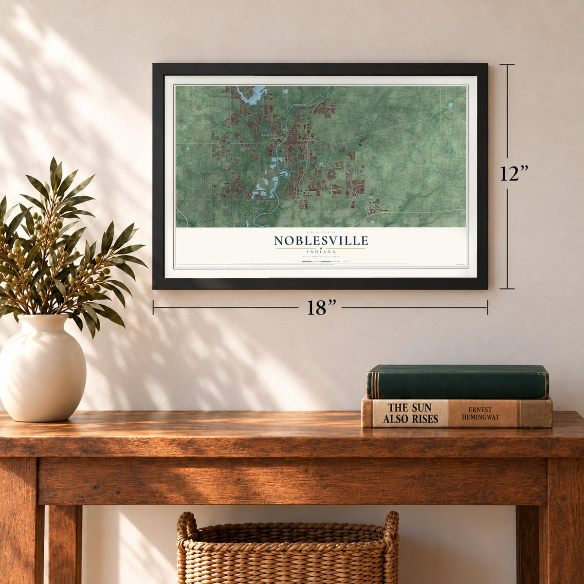
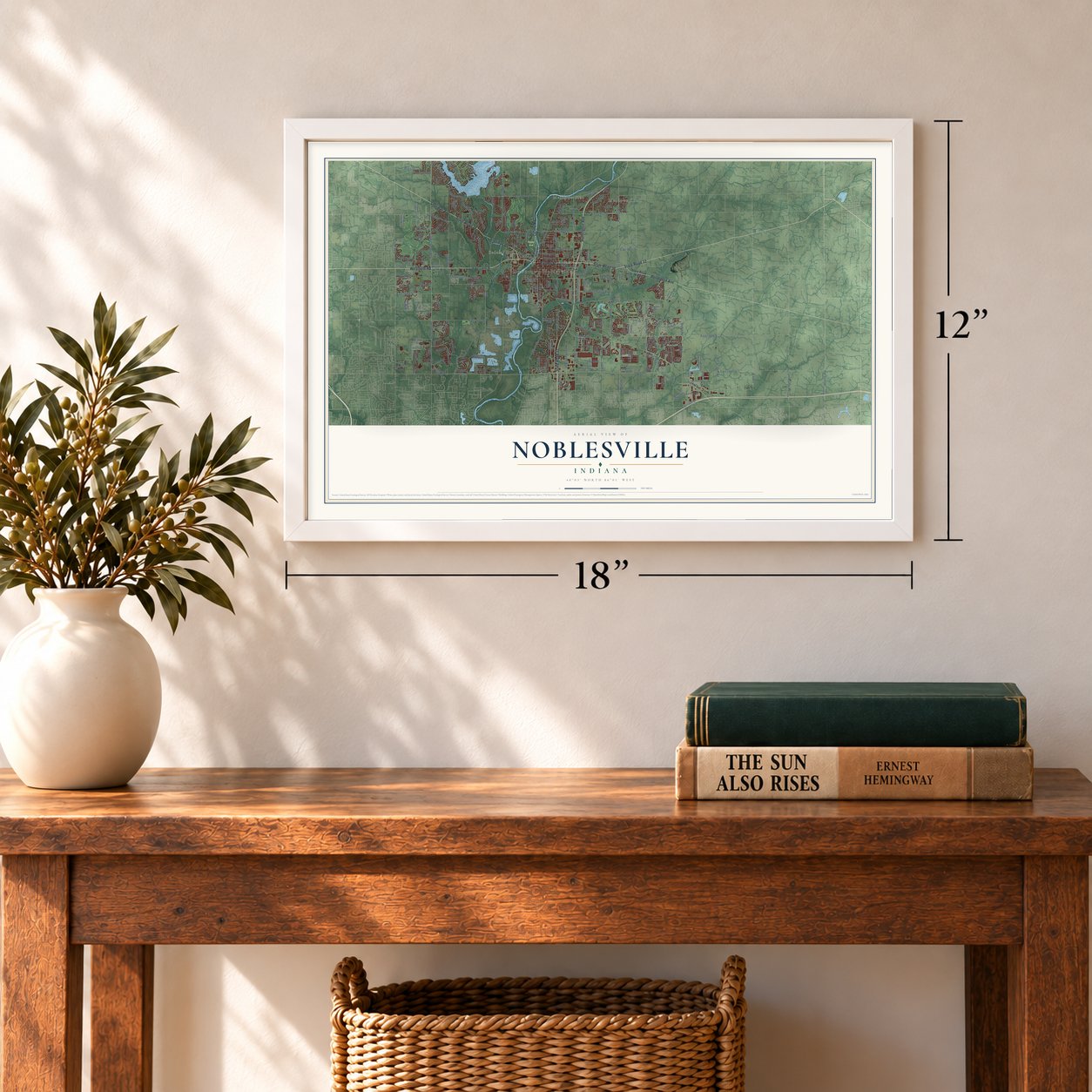
Three ways to hang it
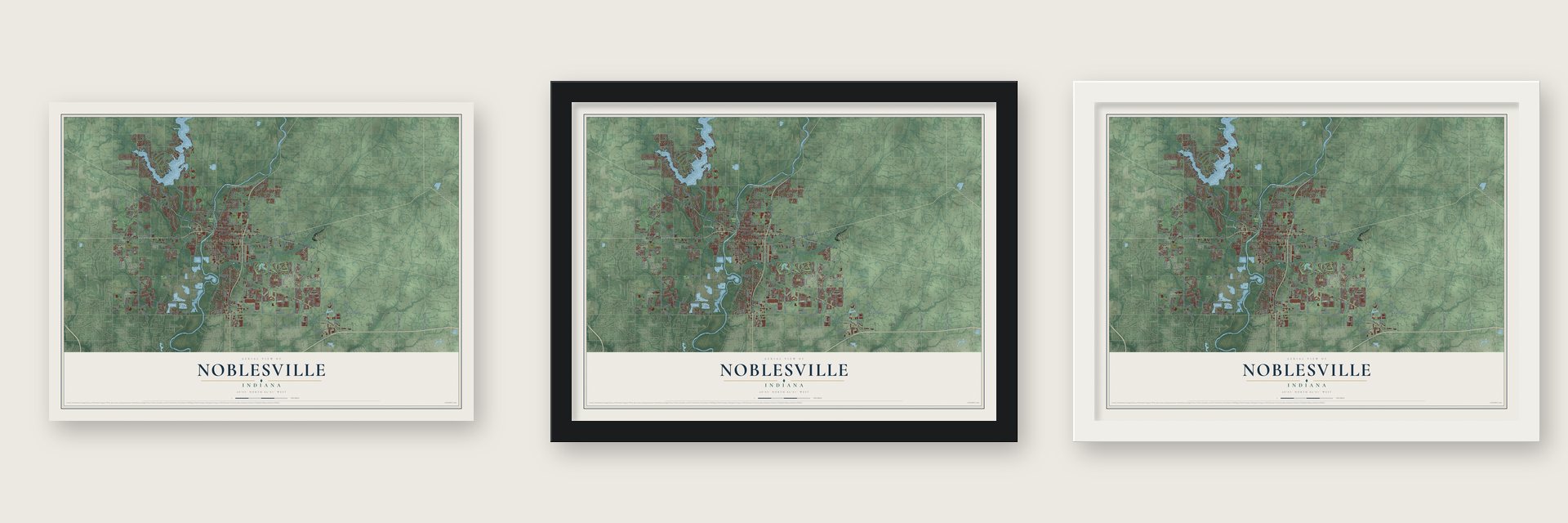
Unframed archival matte, a black wood frame or a white wood frame.
Up close
Geography Worth Displaying
This map was created using accurate cartographic data and authoritative geographic sources, including the U.S. Geological Survey and the Census Bureau. The map brings together terrain, waterways, roads, and building detail. The majority of the streets are labeled, houses are accurately depicted, and the topography is derived from government sources. Combining local data with carefully composed color and shading leads to this beautifully detailed Noblesville artwork for your wall.
Rather than simply showing street outlines, we’ve included as many of the street names as we could reasonably fit on the map while keeping their names legible. Zoom in on the high resolution preview to see exactly what’s on the map. We truly set out to create a statement piece for anyone who loves Noblesville. So whether it’s for you, or a gift for someone you love, we hope this map of Noblesville brings back fond memories.
Read the story behind this map of Noblesville, Indiana from 2026.
Find your street
Names on the Noblesville map
Every name below is printed on this map. Look for your street, your school, the park where you played, or the pond down the road.
Places and landmarks5
- Downtown Noblesville
- Forest Park
- Meadows Knoll
- Federal Hill
- Meadows Glen
Streets and roads263
- State Road 32
- State Road 38
- Conner Street
- Westfield Road
- Huntington Avenue
- State Road 37
- Sheridan Avenue
- Sheridan Road
- Pendleton Avenue
- Cicero Road
- East 146th Street
- 146th Street
- Campus Parkway
- East 48th
- Atlantic Avenue
- South Ninth Street
- Little Chicago Road
- East 191st Street
- River Road
- 58th
- Pine Hill Drive
- Greenfield Avenue
- Hague Road
- East 156th Street
- East 166th Street
- East 141st Street
- Allisonville Road
- Promise Road
- Hazel Dell Road
- Boden Road
Show all 263 streets
- Pleasant Street
- Cumberland Road
- Union Chapel Road
- Herriman Boulevard
- East 63rd
- 138th Street
- Olio Road
- East 161st Street
- Howe Road
- East 98th Street
- East 110th Street
- East 118th
- Summer Road
- Lakeview Drive
- North Tenth Street
- Oakmont Drive
- Buttonwood Drive
- Logan Street
- Midland Lane
- East 186th Street
- Marilyn Road
- Town & Country Boulevard
- 106th Street
- Carrigan Road
- North Pointe Boulevard
- East 169th Street
- Prairie Crossing Drive
- Amber Way
- Ashbrook Drive
- Monument Street
- Tegler Drive
- Dry Creek Road
- Banbury Road
- South Harbour Drive
- South 16th Street
- Smc Boulevard
- Mercantile Boulevard
- Cyntheanne Road
- Elderberry Road
- East 216th Street
- Clover Road
- Wolf Run Road
- Harrison Street
- Roxbury Lane
- Dakota Drive
- Clinton Street
- Redcliff Drive
- Bergen Boulevard
- 108th
- Follow Drive
- 148th Street
- Bruce Boulevard
- East 181st Street
- Mundy Drive
- Wythe Drive
- Flynn Place
- Dado Drive
- Aegis Drive
- Apperson Drive
- Presley Drive
- Loch Circle
- Rosebud Drive
- Plains Road
- Stony Lane
- Jena Drive
- East 176th Street
- State Road 38 East
- Maple Grove Way
- Cuppola Drive
- Golden Bear Way
- Cherry Tree Road
- East 196th Street
- Cherry Street
- Brooks School Road
- Wellington Parkway
- North Harbour Drive
- Forest Park Drive
- North Mill Creek Road
- Maple Avenue
- Cumberland Pointe Boulevard
- North 16th Street
- Oakbay Drive
- South Sixth Street
- East 171st Street
- Stoney Creek Way
- East 136th Street
- South 13th Street
- Sunset Drive
- Fawn Hollow Lane
- Potters Bridge Road
- Fairfield Boulevard
- Harrell Parkway
- Edenshall Lane
- South Street
- Windsor Lane
- Coventry Way
- War Emblem Drive
- Douglas Floyd Parkway
- Wandering Way
- Dunrobin Drive
- Castle Pine Drive
- East 211th Street
- Myers Lake Drive
- Queensbury Drive
- Doverton Drive
- Pathway Point
- Campus Center Drive
- Anderson Way
- Castamere Drive
- Catlin Lane
- Cobbs Creek Lane
- Spayside Drive North
- Fairview Parkway
- Redpoll Trail
- Cole Evans Drive
- Klepfer School Road
- Stony Creek Road
- Kenyon Trail
- Waterhaven Drive
- Summit Road
- Round Lake Road
- East 75th
- Tenor Way
- Hazell Dell Crossing
- Valhalla Drive
- Willow Pond Drive
- Piers End Drive
- Burlat Lane
- Getz Road
- Grant Street
- Elmwood Circle
- Ramsey Drive
- Montfort Drive
- Meadow Wood Drive
- Teak Drive
- Pebble Brook Place
- Presley Boulevard
- Cottage Grove Lane
- Royal Grove Drive
- Veranda Drive
- Shore Vista Lane
- Webster Drive
- Shefler Boulevard
- Braemar Avenue
- Doe Way
- Gallow Lane
- Bayley Circle
- Alluvium Street
- Tlc Way
- Beam Street
- Dorset Drive
- Blair Lane
- Polk Drive
- East 68th
- Gala Drive
- State Road 19
- Atlantic Road
- Verizon Wireless Music Center
- Field Drive
- Allisonville Avenue
- Edgewater Drive
- Sweetwater Drive
- Sandbrook Drive
- Foundation Drive
- Stonewolf Boulevard
- Promenade Shops Boulevard
- Palmetto Way
- Oakview Drive
- Drayton Drive
- Endeavor Drive
- Millwood Drive
- Atkinson Drive
- Pennycress Drive
- Raven Way
- Silo Meadows Drive
- White Tail Run
- Sienna Drive
- Platt Street
- Talisman Drive
- Silver Charm Drive
- Aulton Drive
- English Lake Lane
- Pennan Court
- Saville Road
- Matherly Way
- Regents Park Lane
- Pacific Summit
- Metro Park Court
- Beryl Drive
- Park Street
- Graylan Place
- Tribute Row
- Karyn Lane
- Bluff Road
- Kings Lane
- Boundary Drive
- South Eighth Street
- Natasha Drive
- South Mill Creek Road
- 158th Street
- Woodview Drive
- Wimbly Way
- Saw Mill Drive
- Whisper Ridge Drive
- Yorkshire Circle
- Stonebluff Lane
- Walnut Way
- Arbor Grove Boulevard
- Peppertree Lane
- Outside Trail
- Nixon Street
- Village Center Drive
- Cricket Song Lane
- Rothbury Road
- Pacifica Place
- Eldon Drive
- Abbey Road
- Waterbury Drive
- Dan Drive
- Laurel Lane
- Coyote Ridge Drive
- Blue Holly Drive
- Bittner Way
- Redbay Drive
- Altoids Drive
- Sirene Lane
- Alex Drive
- Marie Court
- East 82nd
- Eck Way
- Skye Lane
- Kraft Court
- Hart Drive
Names are listed as they appear on the printed map. Zoom into the product photos to find them.
About Noblesville, Indiana
Noblesville is a city of 69,604 people on the White River and the county seat of Hamilton County. William Conner and his wife Mekinges, a Lenape woman, opened central Indiana's first trading post in 1802. He was still the only settler when the government bought the land from the Native Americans in 1818. In 1823 he and Josiah Polk platted the streets that became today's downtown, and the town became the county seat in 1824. Its name honors either James Noble, one of Indiana's first two U.S. senators, or, as legend has it, Lavina Noble of Indianapolis, the woman Polk was engaged to.
Baptists organized the township's first church at Noblesville on December 8, 1827. The town was incorporated in 1851, the same year the Peru and Indianapolis Railroad reached it, and the new line brought trade and more people. Work on a second railroad, later called the Midland, began in 1875. Then in 1888 drillers struck natural gas for the first time in Noblesville, near the corner of 11th and Pleasant streets. The gas boom paid for many Victorian homes and most of the downtown business district.
- Courthouse SquareThe Hamilton County Sheriff's Residence and Jail went up on the square in 1876, and the courthouse beside it was finished in 1879. Both were built in the Second Empire style, with mansard roofs. The old jail now holds the Hamilton County Museum of History.
- The trial that broke the KlanIn the early 1920s the Ku Klux Klan was active in Noblesville and other Indiana towns. D. C. Stephenson, once the Grand Dragon of the Indiana Klan, was held in the county jail and tried in the courthouse next door in 1925. A jury convicted him of second-degree murder for the death of Madge Oberholtzer. The case drew national attention, and the Klan's power in Indiana faded soon after.
- Why they're the MillersNoblesville was once known for its flour mills, and the best known was the Noblesville Milling Company, maker of Diadem and Kismet flours. In 1925 its manager offered to buy uniforms for the high school team if the school took the nickname Millers, and the name has stuck ever since. The company's mill joined the National Register in 2001.
- Home of Nero Wolfe's creatorRex Stout, who created the Nero Wolfe detective series, was born in Noblesville.
Keep exploring Indiana
Noblesville is one of 1,023 Indiana towns we've mapped. Every dot on the map is a print of its own.
The search covers every state, Indiana first.
Near Noblesville
Order 2 or more town maps and save 10%. Shown in the size and finish you picked above, so they hang as a set.
- Riverwood 12" x 18" / Archival Matte Print $39.99
- New Britton 12" x 18" / Archival Matte Print $39.99
- Fishers 12" x 18" / Archival Matte Print $39.99

More maps nearby: Cicero, Westfield, Fishersburg, Lapel and Hortonville.
The art of mapping a place
How This Map Was Made
Real places. Remarkable detail. Discover the layers that turn geographic data into a map of home.

The view from above
Aerial imagery reveals the character of the land: woodland, open fields, and the patterns of a place.

The shape of the land
Elevation data brings hills, valleys, and subtle changes in the landscape into view.

The details of home
Roads, waterways, and building footprints come together to make the map feel unmistakably local.

Geography becomes art
Considered color, shading, and typography bring the layers together in a map made for your wall.


Process illustrated with Mendon, Massachusetts. Aerial imagery: USDA NAIP. Terrain: USGS 3D Elevation Program. Map details and finished artwork: KNOWOL.
The Details
About This Print
Choose an archival matte print, or a black or white Ayous wood frame. The archival matte print is unframed.
Select your size and finish above to see the matching product image and price.
Materials & Craftsmanship
A contemporary map with the character of a classic atlas, printed on archival matte paper. Optional frames are made from Ayous wood.
Your printed map does not include the watermark shown in the full-map preview.
Shipping & Delivery
Free shipping within the United States. Every print is made to order in the USA.
Buying a gift? Add a note in your cart and we'll include it. We never put prices in the package.
Prints ship within 2 to 3 business days. Allow 7 to 10 days total from ordering for delivery. Timing may vary during holidays or periods of high order volume.
Read our shipping policy.
Returns and damaged prints
Each print is made to order. Change-of-mind refunds are not available after production.
If your print arrives damaged, misprinted or incorrect, contact support@knowol.com within 30 days of receiving it. Include your order number, photos and a description of the issue.
Read our full refund and replacement policy. For questions about your order, email support@knowol.com.