
Search for another town

Free U.S. delivery 7 to 10 days after you order
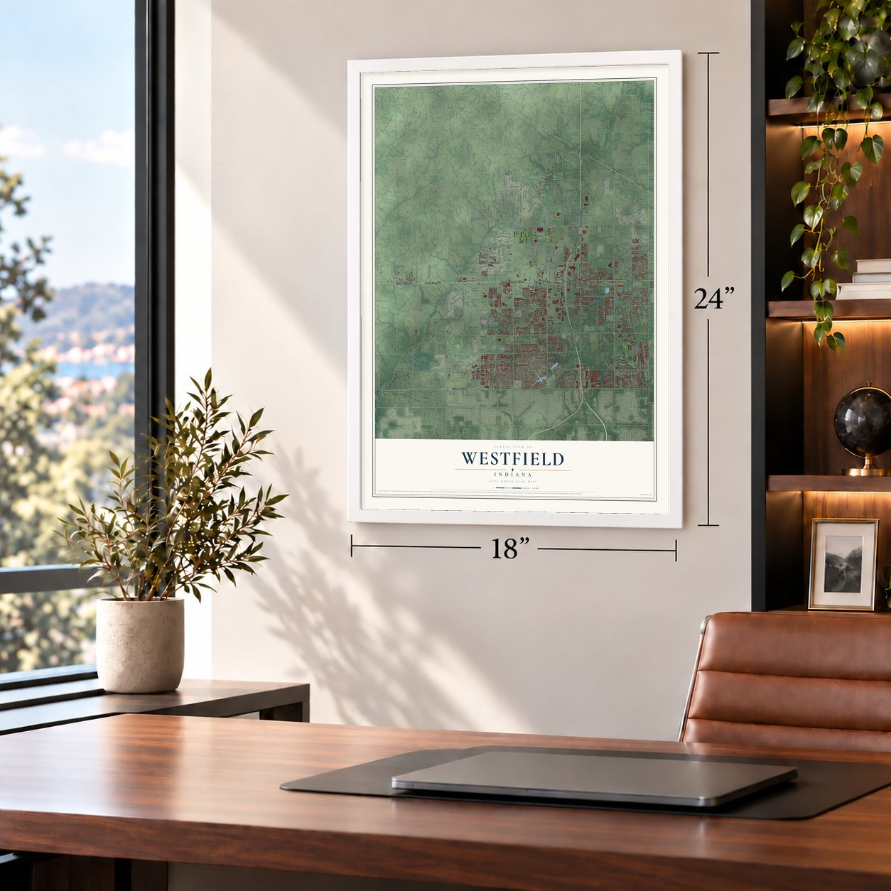
Westfield, Indiana Map Art
Building by building, with labeled streets and shaded relief.
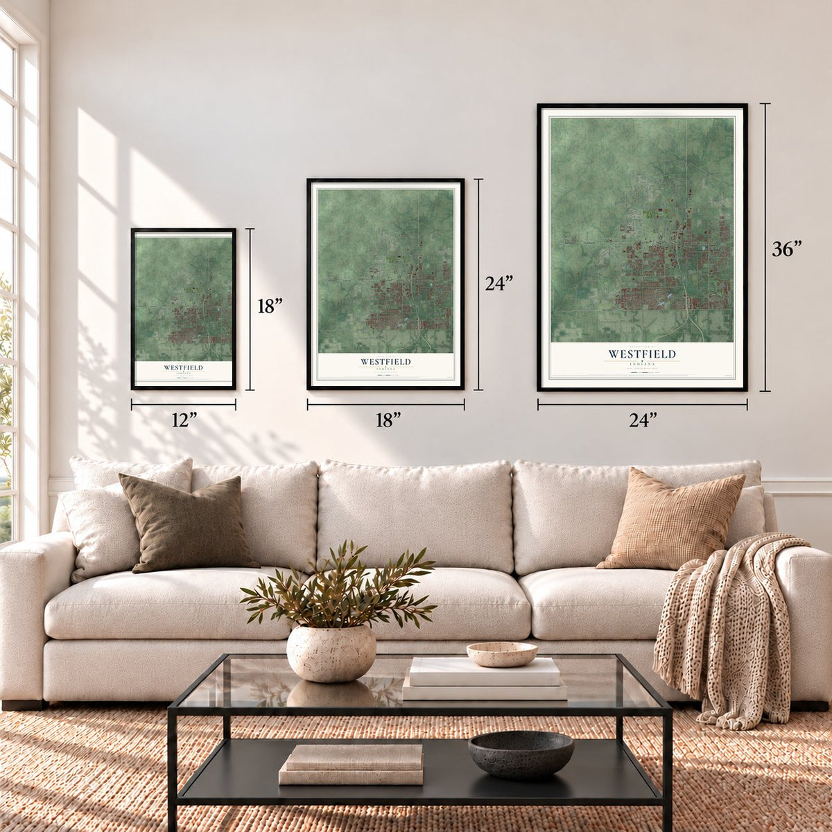
12" x 18" Archival Matte Print
A Map of Home. A Work of Art.
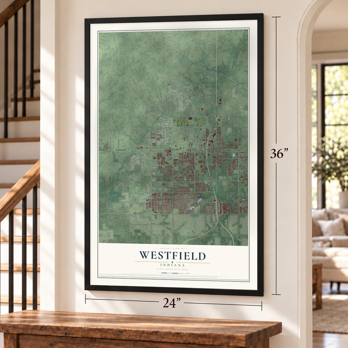
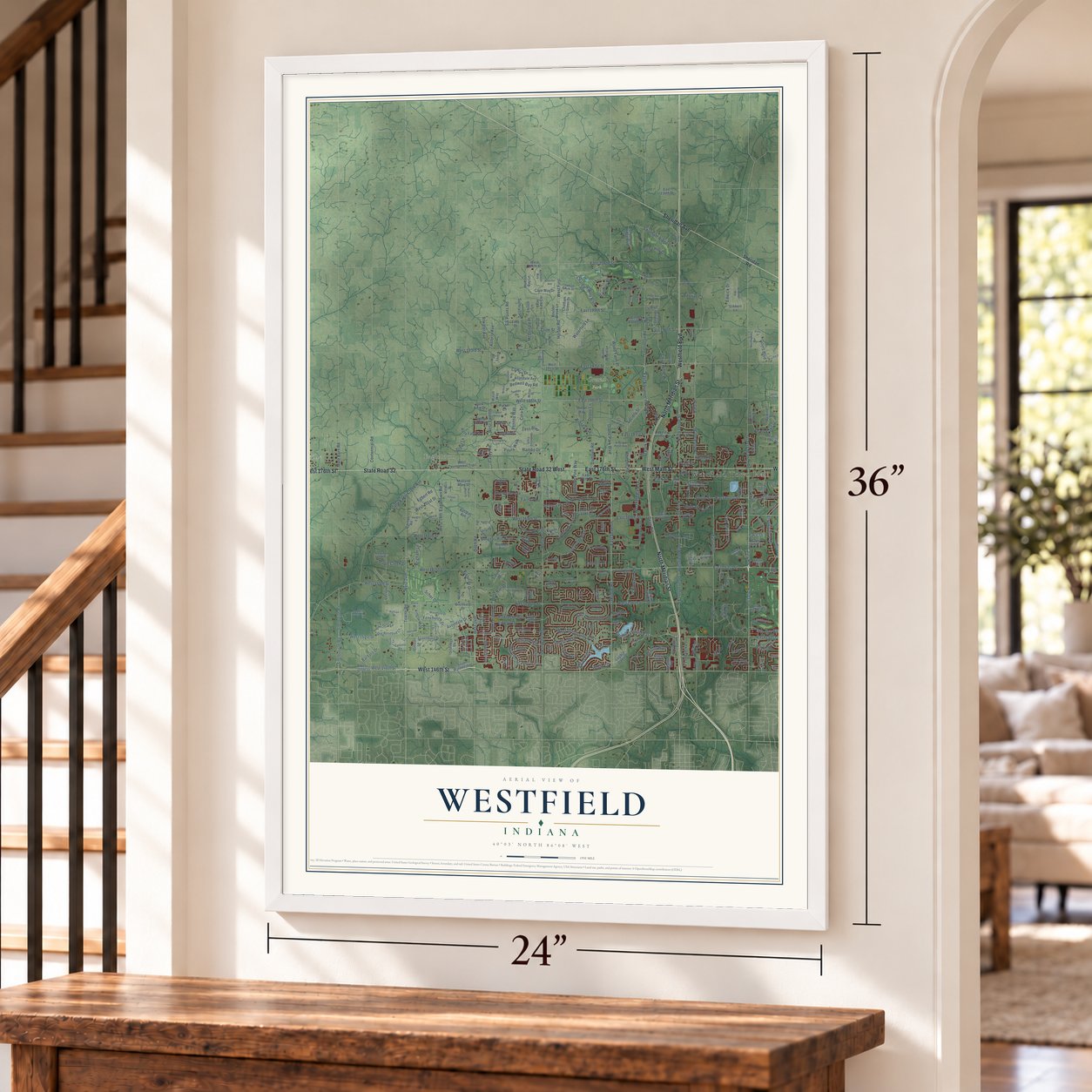
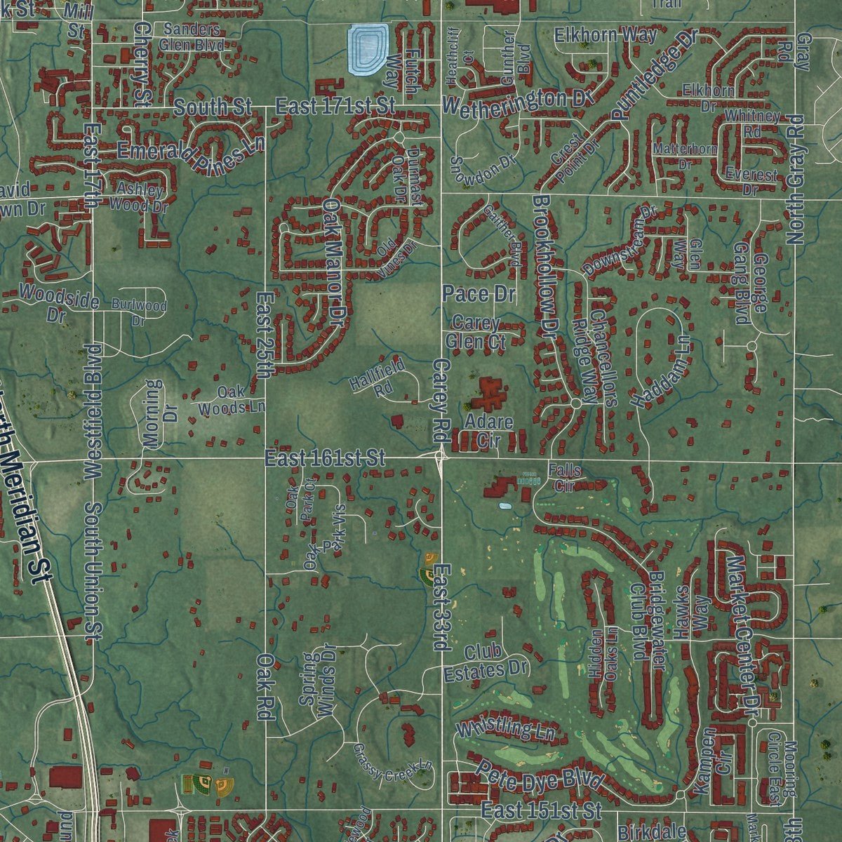
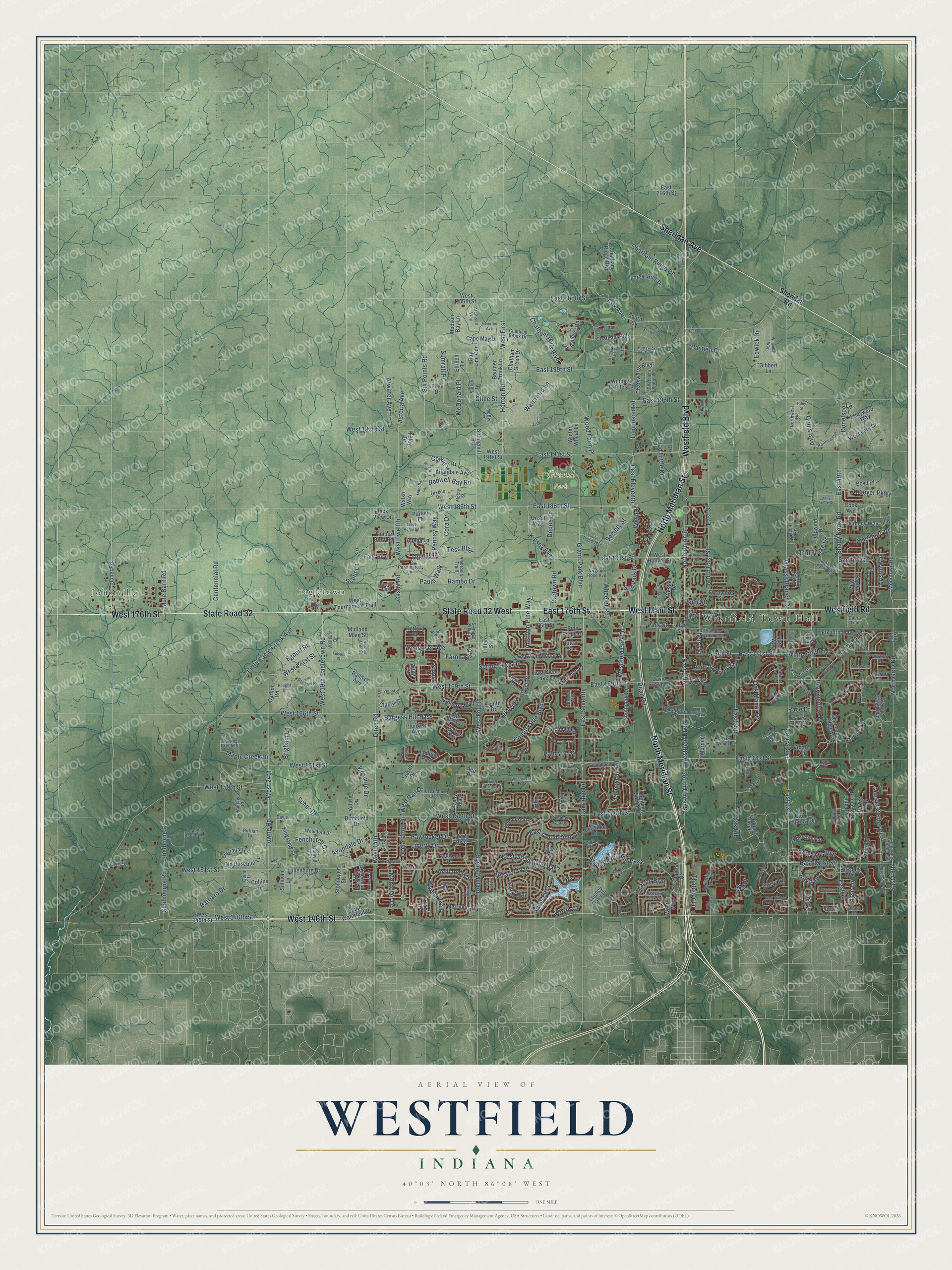
Explore Westfield, Indiana from a whole new perspective. Created using aerial imagery and detailed geographic data, this map captures Westfield building by building, with labeled streets, familiar landmarks, and shaded topographical relief that highlights the natural contours of the landscape.
Combining modern data with the timeless character of a vintage atlas, this map is just as interesting up close as it is beautiful on the wall. Whether you grew up in Westfield, spent memorable years there, or call it home today, this unique map is a great way to celebrate a place that means something to you. Zoom in on the preview to look for your street, and then order a print to put your memories on the wall.
Three ways to hang it
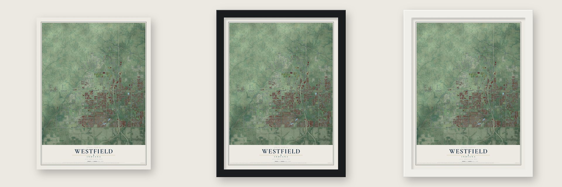
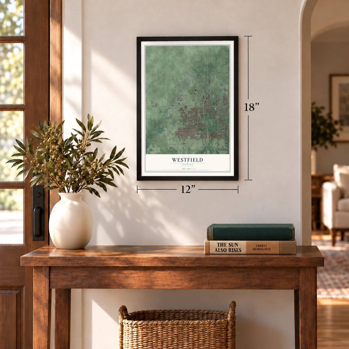
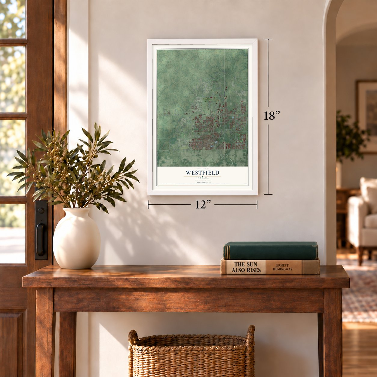
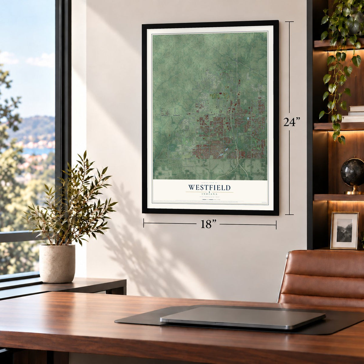
Unframed archival matte, a black wood frame or a white wood frame.
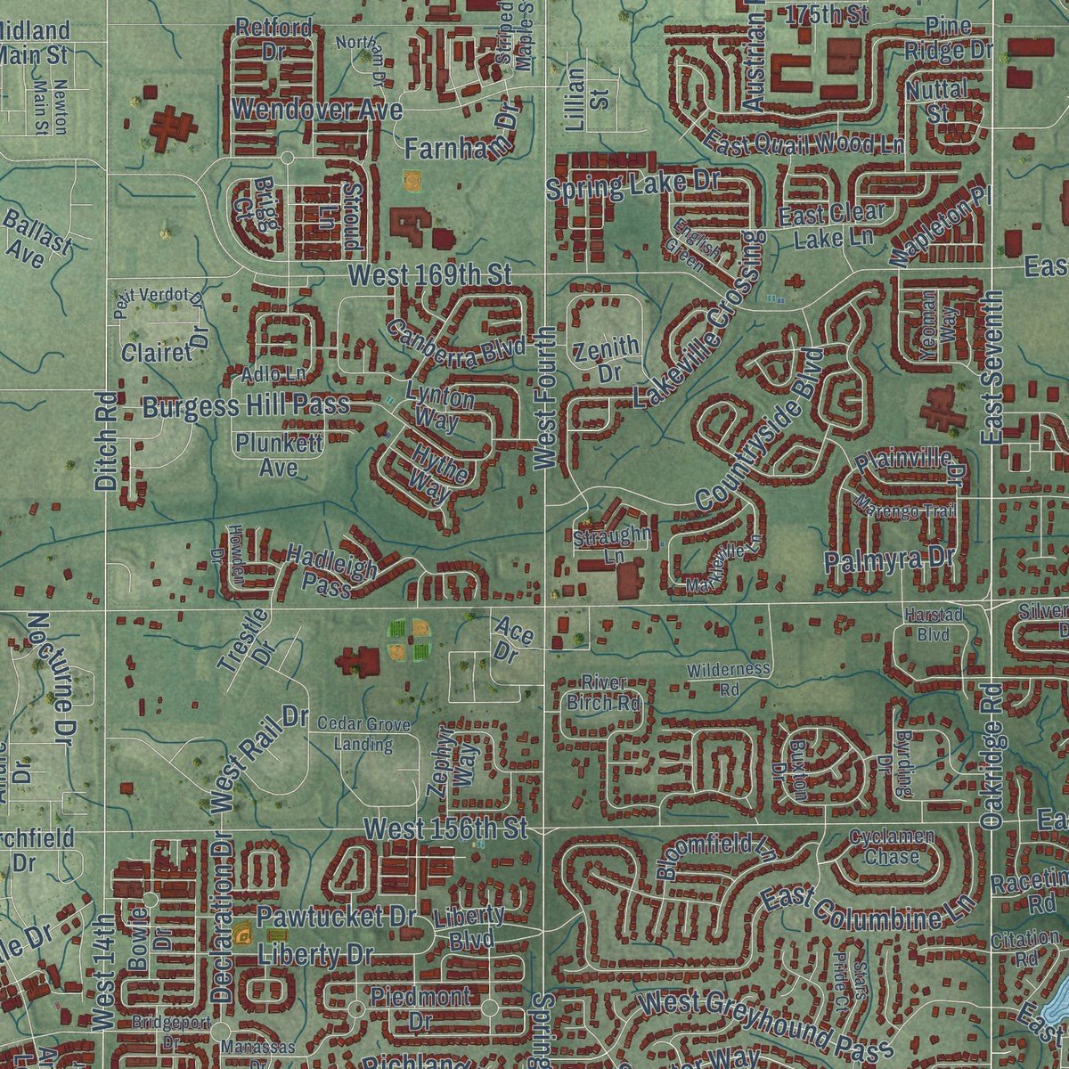
Up close
Geography Worth Displaying
This map was created using accurate cartographic data and authoritative geographic sources, including the U.S. Geological Survey and the Census Bureau. The map brings together terrain, waterways, roads, and building detail. The majority of the streets are labeled, houses are accurately depicted, and the topography is derived from government sources. Combining local data with carefully composed color and shading leads to this beautifully detailed Westfield artwork for your wall.
Rather than simply showing street outlines, we’ve included as many of the street names as we could reasonably fit on the map while keeping their names legible. Zoom in on the high resolution preview to see exactly what’s on the map. We truly set out to create a statement piece for anyone who loves Westfield. So whether it’s for you, or a gift for someone you love, we hope this map of Westfield brings back fond memories.
Read the story behind this map of Westfield, Indiana from 2026.
Find your street
Names on the Westfield map
Every name below is printed on this map. Look for your street, your school, the park where you played, or the pond down the road.
Places and landmarks4
- Westfield Town Hall
- Jolietville
- Eagletown
- Grand Park
Streets and roads388
- State Road 32
- West Main Street
- State Road 32 West
- West 176th Street
- North Meridian Street
- Westfield Boulevard
- Westfield Road
- East 176th Street
- West 146th Street
- Sheridan Avenue
- East 33rd
- East 161st Street
- Carey Road
- East Seventh
- North Union Street
- Oakridge Road
- Grand Park Boulevard
- East 206th Street
- Beacon Boulevard
- Cox Avenue
- Tomlinson Road
- East Eleventh
- Wendover Avenue
- Ditch Road
- Kinsey Avenue
- East 48th
- Farnham Drive
- West 14th
- West 186th Street
- Barbaro Drive
Show all 388 streets
- Spring Mill Road
- West Fourth
- Little Eagle Creek Avenue
- East 191st Street
- Oak Road
- East 169th Street
- East Street
- West 156th Street
- East 151st Street
- Towne Road
- West 24th
- East 186th Street
- North Gray Road
- West 161st Street
- Chatham Hills Boulevard
- Grassy Branch Road
- South Union Street
- West 151st Street
- East 25th
- East 196th Street
- Wheeler Road
- Casey Road
- West Twelfth
- East Greyhound Pass
- North East Street
- West 171st Street
- West 166th Street
- Eagletown Road
- West 19th
- East 40th
- Shady Nook Road
- East 17th
- East 156th Street
- East 181st Street
- Chad Hittle Drive
- Horton Road
- West First
- West 169th Street
- West 193rd Street
- Shelborne Road
- Shelbourne Road
- West Greyhound Pass
- Lakeville Crossing
- East 171st Street
- South Street
- Oak Manor Drive
- Sumrall Place
- Declaration Drive
- East 199th Street
- East Columbine Lane
- Westfield Park Drive
- Burgess Hill Pass
- Countryside Boulevard
- Chatham Ridge Court
- Senator Way
- Brookhollow Drive
- Sanibel Circle
- Market Center Drive
- Pawtucket Drive
- Pete Dye Boulevard
- Puntledge Drive
- West 159th Street
- Liberty Drive
- Wood Farm Place
- Ogala Drive
- Waterford Lane
- Wetherington Drive
- Dartown Road
- Sun Park Drive
- Birkdale Drive
- Goins Boulevard
- Shady Lake Drive
- Spring Lake Drive
- Andover Parkway
- McDonald Place
- Thatcher Lane
- Amesbury Place
- Emerald Pines Lane
- Cowley Drive
- Fenchurch Drive
- Atwater Avenue
- Adios Pass
- Austrian Pine Way
- East 40
- Mule Barn Road
- Centennial Road
- Avondale Drive
- Bedwell Bay Road
- Cora Drive
- Maple Creek Drive
- Warner Trail
- Society Street
- Richland Way
- Viking Lair Road
- Six Points Road
- Palmyra Drive
- Cherry Street
- Park Street
- Donelson Lane
- Paula Walk
- Pennsy Way
- West Rail Drive
- Brigham Lane
- Montclair Drive
- Cline Street
- Edwick Drive
- West Drive
- Rambo Drive
- Nocturne Drive
- Astoria Avenue
- Cristin Way
- Dean Road
- Bastian Court
- Scher Drive
- Egbert Road
- Tess Boulevard
- Depoe Lane
- Worth Court
- Elyse Lane
- Curry Lane
- Scout Lane
- Fox Lane
- Penn Street
- Pace Drive
- Mia Drive
- Sheridan Road
- West 206th Street
- Winter Wheat Lane
- Chatham Ridge Boulevard
- Moontown Road
- Liberty Boulevard
- Bridgewater Club Boulevard
- Southpark Drive
- Carlton Road
- Pine Ridge Drive
- Boulder Brook Lane
- Old Ashbury Road
- West Tournament Trail
- East 175th Street
- Ehrlich Lane
- American Lotus Drive
- Captiva Way
- Kampen Circle
- South Waterleaf Drive
- Haddam Lane
- Kingsway Street
- Hazy Falls Boulevard
- 203rd Street
- Joliet Road
- East Quail Wood Lane
- Chancellors Ridge Way
- Sycamore Street
- Zephyr Way
- Chatsworth Boulevard
- Hadleigh Pass
- Canberra Boulevard
- Allandale Avenue
- Old Rosebud Lane
- Retford Drive
- Peabody Way
- Bowie Drive
- Spring Winds Drive
- David Brown Drive
- Buchanan Lane
- Shining Spring Drive
- Cape May Drive
- Gray Road
- George Gang Boulevard
- East Drive
- Hudson Bay Lane
- Chatham Hills
- Whistling Lane
- East Clear Lake Lane
- West Hoover Street
- Piedmont Drive
- Idlewind Drive
- Bloomfield Lane
- Merrimac Drive
- Lunenburg Drive
- Hayward Way
- Greyhound Court
- Forest Hills Drive
- Birchfield Drive
- Parker Lane
- West Fork Drive
- Sulky Way
- Plainville Drive
- Westlea Drive
- Midland Main Street
- Club Estates Drive
- Legacy Oaks Drive
- Adare Circle
- Timber Bluff Road
- Lynton Way
- Elkhorn Way
- East 216th Street
- Mapleton Place
- Clairet Drive
- Bixby Drive
- Woodside Drive
- Stonneger Street
- Chatham Green Drive
- Bay Line Cor
- Hythe Way
- Adena Lane
- Mill Street
- Racetime Road
- Morning Drive
- West 191st Street
- Springmill Road
- Western Way
- Cook Avenue
- Windsor Estates Court
- Boyd Place
- Sullivan Lane
- Carey Glen Court
- West 145th Street
- Nuttal Street
- Plunkett Avenue
- Jack View Drive
- Trestle Drive
- Futch Way
- Hawks Way
- Collins Drive
- Gibbert Lane
- Birkdale Boulevard
- Allure Drive
- Stroud Lane
- Foley Drive
- Lillian Street
- Onset Way
- Walsh Way
- Ballast Avenue
- Zenith Drive
- Elise Drive
- Vine Alley
- Brigg Court
- Ace Drive
- Cyclamen Chase
- Cool Creek Park Road
- Whitney Road
- Buxton Drive
- Gunther Boulevard
- River Birch Road
- Snowdon Drive
- Copper Beech Lane
- Woodford Drive
- Granville Drive
- Elkhorn Drive
- Grassy Knoll Drive
- Chatham Brook Drive
- Sheffield Park Way
- Railhead Avenue
- Citation Road
- Atchison Way
- Crest Point Drive
- Downstream Drive
- Durmast Oak Drive
- Vantage Court
- Silverheels Drive
- Newport Drive
- Moray Street
- Oak Park Vis
- Mooring Circle East
- Hallfield Road
- Corral Court
- Chatham Shore Lane
- Hampton Road
- Ambrosia Trail
- Virginia Rose Avenue
- McBee Avenue
- Pennington Lane
- Ashley Wood Drive
- Beacon Park Drive
- Sanders Glen Boulevard
- Hidden Oaks Lane
- Everest Drive
- Oak Woods Lane
- Deerwood Drive
- Striped Maple Street
- Byrding Drive
- Pollard Drive
- Wellburn Drive
- Northwest Drive
- Sundial Drive
- Flowing Creek Place
- Lucas Drive
- Country Place
- Rachel Lane
- Sutton Terrace
- Lakes Ends Drive
- Straughn Lane
- Adlo Lane
- Sabrina Way
- Yeoman Way
- Tuxedo Drive
- Ruffian Drive
- Douro Trail
- Wentz Drive
- Quinn Lane
- Davis Drive
- Falls Circle
- Glen Way
- Hoover Street
- Matterhorn Drive
- Harstad Boulevard
- Grassy Creek Lane
- Shamrock Boulevard
- Market Center Run
- Lindley Farm Road
- Goodwin Place
- Old Vines Drive
- Greyhound Pass
- Bridgeport Drive
- Seaforth Way
- Wilderness Road
- Heathcliff Court
- Burlwood Drive
- 202nd Street East
- Markleville Lane
- English Green
- Bridlewood Drive
- Petit Verdot Drive
- John Dippel Boulevard
- Gaither Boulevard
- Marengo Trail
- Brasseur Lane
- Willenhall Way
- Stonehaven Drive
- Steel Horse Drive
- Northam Drive
- Cedar Grove Landing
- East Village Park North Drive
- Howden Drive
- Prescott Place
- Stars Pride Court
- Hampton Park Drive
- Farmview Court
- Silverton Avenue
- Oak Terrace Road
- Newton Main Street
- Westmore Lane
- Jaden Drive
- Manassas Drive
- Oak Park Court
- Harvest Drive
- Holly Brook Drive
- Hengist Drive
- Jacone Lane
- Fulsam Street
- Hartswick Court
- Ethan Allen Lane
- Adelaide Street
- Mithoff Lane
- Pacer Court
- Riley Street
- Keck Way
- Fern Street
Names are listed as they appear on the printed map. Zoom into the product photos to find them.
About Westfield, Indiana
Westfield is a city of 46,410 people in Hamilton County, just north of Indianapolis. Three Quakers from North Carolina, Asa Bales, Ambrose Osborne and Simon Moon, founded the town in 1834. Many of the families who settled here belonged to the Friends or the Wesleyan Methodist Church and backed the fight against slavery, and the town is thought to have been laid out as an Underground Railroad stop.
When the laws against helping escaped slaves grew harsher, part of the Westfield Friends meeting broke away and formed the Anti-Slavery Friends meeting. Westfield became an incorporated town in 1848 and a city on January 1, 2008, when Andy Cook was sworn in as mayor. Annexations and fast growth then more than tripled its population, from 9,293 in 2000 to 30,068 in 2010.
- Grand Park, opened in 2014Westfield built Grand Park Sports Complex, the nation's largest youth sports campus, with 26 baseball and softball diamonds and 31 multipurpose fields. An indoor events center was added in July 2016, and the park now draws more than 5.5 million visits a year on average.
- Home of Colts campIn 2017 Westfield signed a 10-year contract to host the Indianapolis Colts' annual training camp. The Colts began practicing at Grand Park in 2018, and the 2026 camp is set to be their last one there.
Keep exploring Indiana
Westfield is one of 1,023 Indiana towns we've mapped. Every dot on the map is a print of its own.
The search covers every state, Indiana first.
Near Westfield
Order 2 or more town maps and save 10%. Shown in the size and finish you picked above, so they hang as a set.
- Hortonville 12" x 18" / Archival Matte Print $39.99
- Carmel 12" x 18" / Archival Matte Print $39.99
- Noblesville 12" x 18" / Archival Matte Print $39.99
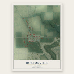
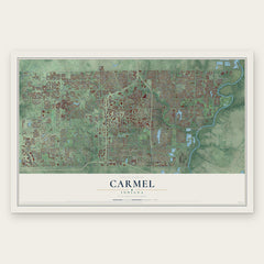
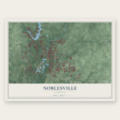
More maps nearby: New Britton, Sheridan, Cicero, Williams Creek and Zionsville.
The art of mapping a place
How This Map Was Made
Real places. Remarkable detail. Discover the layers that turn geographic data into a map of home.

The view from above
Aerial imagery reveals the character of the land: woodland, open fields, and the patterns of a place.

The shape of the land
Elevation data brings hills, valleys, and subtle changes in the landscape into view.

The details of home
Roads, waterways, and building footprints come together to make the map feel unmistakably local.

Geography becomes art
Considered color, shading, and typography bring the layers together in a map made for your wall.


Process illustrated with Mendon, Massachusetts. Aerial imagery: USDA NAIP. Terrain: USGS 3D Elevation Program. Map details and finished artwork: KNOWOL.
The Details
About This Print
Choose an archival matte print, or a black or white Ayous wood frame. The archival matte print is unframed.
Select your size and finish above to see the matching product image and price.
Materials & Craftsmanship
A contemporary map with the character of a classic atlas, printed on archival matte paper. Optional frames are made from Ayous wood.
Your printed map does not include the watermark shown in the full-map preview.
Shipping & Delivery
Free shipping within the United States. Every print is made to order in the USA.
Buying a gift? Add a note in your cart and we'll include it. We never put prices in the package.
Prints ship within 2 to 3 business days. Allow 7 to 10 days total from ordering for delivery. Timing may vary during holidays or periods of high order volume.
Read our shipping policy.
Returns and damaged prints
Each print is made to order. Change-of-mind refunds are not available after production.
If your print arrives damaged, misprinted or incorrect, contact support@knowol.com within 30 days of receiving it. Include your order number, photos and a description of the issue.
Read our full refund and replacement policy. For questions about your order, email support@knowol.com.