
Search for another town

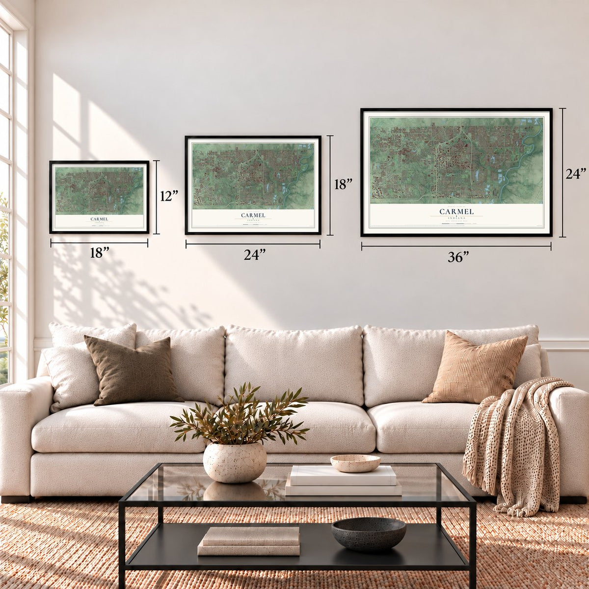
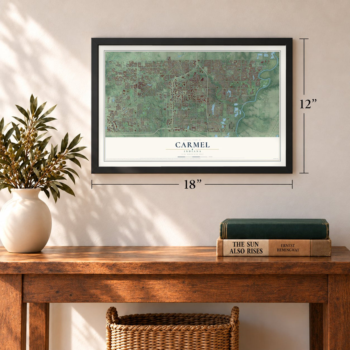
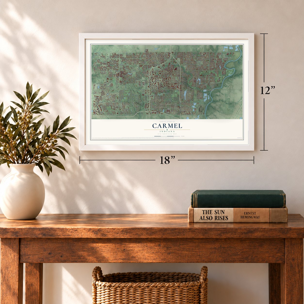
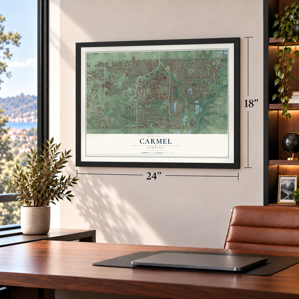
Free U.S. delivery 7 to 10 days after you order
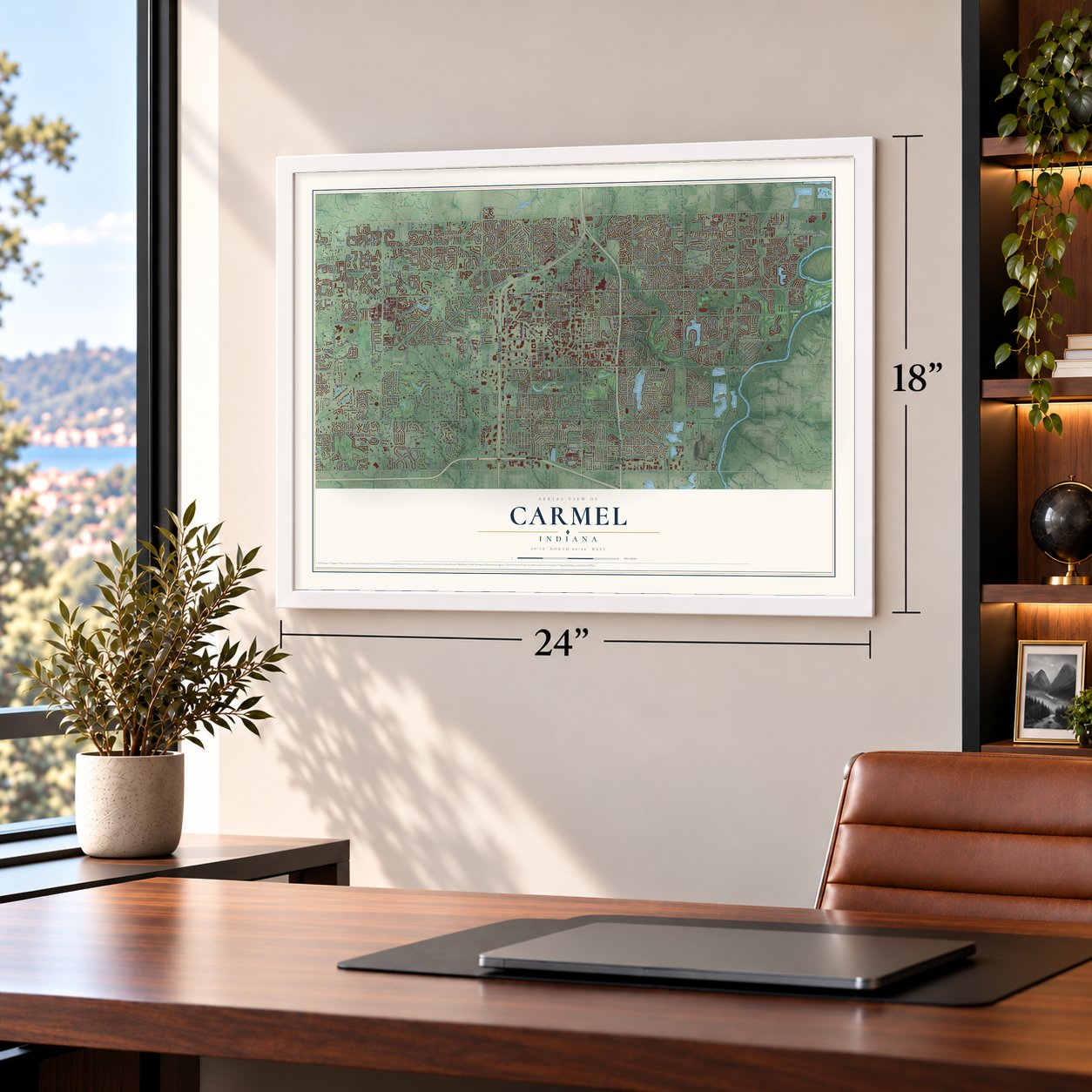
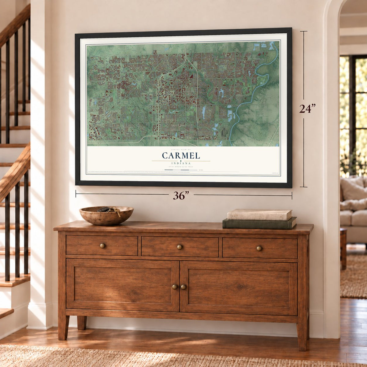
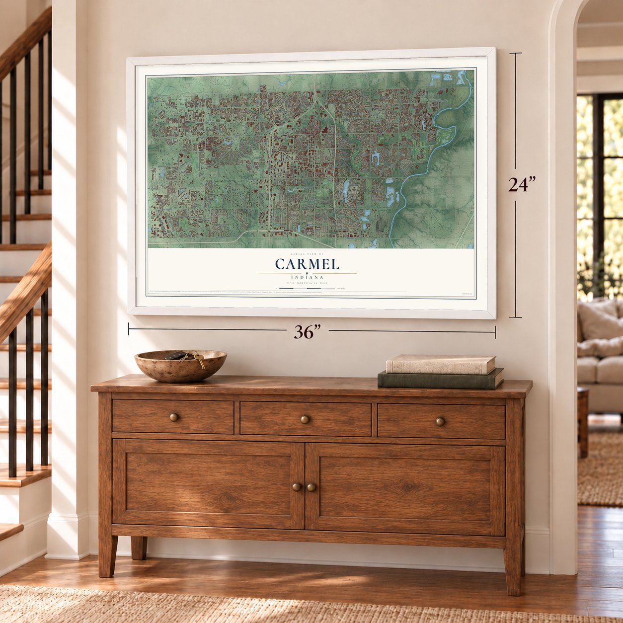
Carmel, Indiana Map Art
Building by building, with labeled streets and shaded relief.
12" x 18" Archival Matte Print
A Map of Home. A Work of Art.
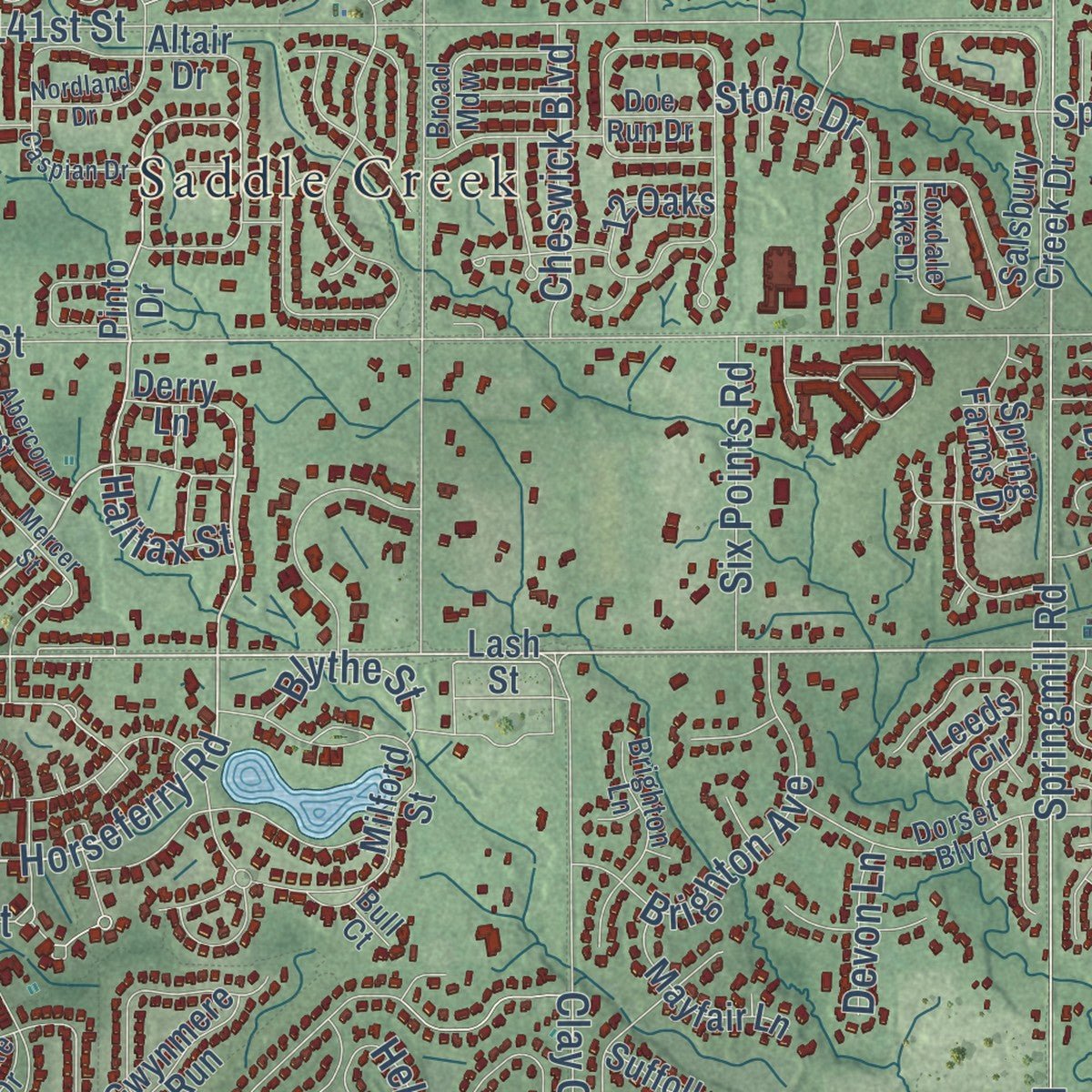
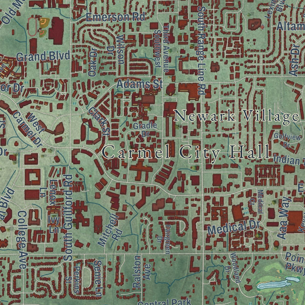
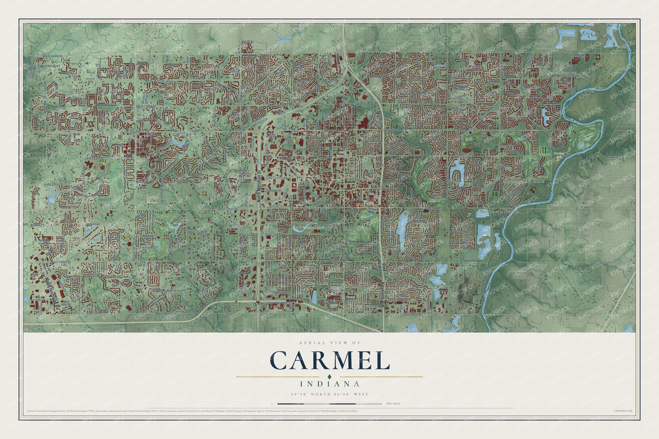
Explore Carmel, Indiana from a whole new perspective. Created using aerial imagery and detailed geographic data, this map captures Carmel building by building, with labeled streets, familiar landmarks, and shaded topographical relief that highlights the natural contours of the landscape.
Combining modern data with the timeless character of a vintage atlas, this map is just as interesting up close as it is beautiful on the wall. Whether you grew up in Carmel, spent memorable years there, or call it home today, this unique map is a great way to celebrate a place that means something to you. Zoom in on the preview to look for your street, and then order a print to put your memories on the wall.
Three ways to hang it
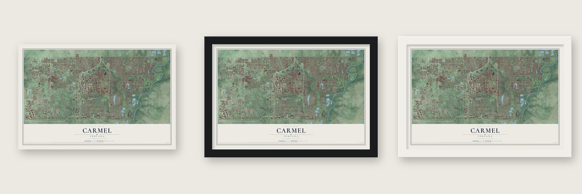
Unframed archival matte, a black wood frame or a white wood frame.
Up close
Geography Worth Displaying
This map was created using accurate cartographic data and authoritative geographic sources, including the U.S. Geological Survey and the Census Bureau. The map brings together terrain, waterways, roads, and building detail. The majority of the streets are labeled, houses are accurately depicted, and the topography is derived from government sources. Combining local data with carefully composed color and shading leads to this beautifully detailed Carmel artwork for your wall.
Rather than simply showing street outlines, we’ve included as many of the street names as we could reasonably fit on the map while keeping their names legible. Zoom in on the high resolution preview to see exactly what’s on the map. We truly set out to create a statement piece for anyone who loves Carmel. So whether it’s for you, or a gift for someone you love, we hope this map of Carmel brings back fond memories.
Read the story behind this map of Carmel, Indiana from 2026.
Find your street
Names on the Carmel map
Every name below is printed on this map. Look for your street, your school, the park where you played, or the pond down the road.
Places and landmarks21
- Carmel City Hall
- Central Park
- Coxhall Gardens
- Prather Park
- Bridlebourne
- Chesterton
- College Meadows
- Echo Crest
- Holaday Hills and Dales
- Home Place
- Kings Mill
- Kingsborough
Show all 21 places
- Newark Village
- North Augusta Addition
- Northern Beach
- Northwood Hills
- Orchard Park
- Saddle Creek
- Trails End
- Windemere
- Hyde Park
Streets and roads489
- North Meridian Street
- Keystone Avenue
- North Michigan Road
- West 131st Street
- East Main Street
- East 131st Street
- Westfield Boulevard
- West Main Street
- East Carmel Drive
- North Range Line Road
- Arbor Drive
- West 146th Street
- Broad Street
- Ripplingbrook Way
- Horseferry Road
- Clay Terrace Boulevard
- River Road
- East 111th Street
- Shelborne Road
- West 126th Street
- River Avenue
- Hoover Road
- Jordan Road
- Spring Mill Road
- Hazel Dell Parkway
- Springmill Road
- Towne Road
- East 116th Street
- East 106th Street
- West 116th Street
Show all 489 streets
- West 106th Street
- West 96th Street
- West 141st Street
- East 96th Street
- East 126th Street
- West 24th
- Ditch Road
- North Gray Road
- Pennsylvania Street
- Illinois Street
- East 136th Street
- West 136th Street
- West Road
- Lake Shore Drive East
- Cherry Creek Boulevard
- East Smokey Row Road
- Gray Road
- City Center Drive
- Old Meridian Street
- Haverstick Road
- South Guilford Road
- Inverness Boulevard
- Clay Center Road
- Rohrer Road
- West Smokey Row Road
- Adios Pass
- Hawthorne Drive
- Haverton Way
- Summerlakes Drive
- Weston Drive
- Helford Lane
- Wood Creek Drive
- Avian Way
- East 481st
- Laurelwood
- West 121st Street
- East 110th Street
- Spruce Drive
- Oakridge Road
- Carey Road
- East 98th Street
- Cherry Tree Road
- Grand Boulevard
- Crooked Stick Lane
- Woodfield Drive
- Commerce Drive
- College Avenue
- Westwood Drive
- Cedar Point Drive
- Windy Knoll Lane
- Harrison Drive
- Power Drive
- Springmill Boulevard
- Central Avenue
- West 36th Street
- Frenzel Parkway
- Dolan Way
- Towne Drive
- Congressional Boulevard
- West 19th
- East 103rd Street
- Bayhill Drive
- Brighton Avenue
- Stone Drive
- Estancia Way
- Overbrook Drive
- Plum Creek Boulevard
- Pennsylvania Parkway
- Springmill Ponds Boulevard
- Windpointe Pass
- Carwinion Way
- Esprit Drive
- Circle Drive
- Driftwood Drive
- Briarwood Trce
- Durbin Drive
- High Drive
- Emerson Road
- Windsor Drive
- Jason Street
- Arnett Drive
- Medical Drive
- Adams Street
- Homestretch Drive
- Hazel Foster Drive
- Saint Charles Place
- Ivy Hill Drive
- Cheswick Boulevard
- Holaday Drive
- Fairway Drive
- Six Points Road
- Silver Oaks Drive
- Evergreen Trail
- Nevelle Lane
- Carlow Run
- Rhettsbury Street
- Kingswood Drive
- Lakeview Drive
- Brian Place
- Longest Drive
- Haldale Drive
- Maralice Drive
- Bristol Road
- Finchley Road
- Dubarry Drive
- Cool Creek Drive
- Randall Drive
- White Ash Drive
- Forest Drive
- Moss Drive
- Hussey Lane
- Hoster Road
- Esty Way
- Otto Lane
- College Drive
- Bennett Drive
- Dayton Drive
- West 111th Street
- Salmon Drive
- Aaa Way
- Blythe Street
- Edinburgh Drive
- Ash Drive
- Tarrynot Lane
- President Street
- Dove Drive
- Marana Drive
- Milano Drive
- Abbey Drive
- John Street
- Altam Avenue
- Bexhill Drive
- Osage Drive
- Arthur Drive
- Halifax Street
- Devon Lane
- Lark Drive
- Sue Drive
- Vali Drive
- Tara Court
- Elm Drive
- State Road 431
- South Range Line Road
- Pinto Drive
- Lost Creek Lane
- West Carmel Drive
- Hiatt Drive
- West 14th
- Lash Street
- Rolling Springs Drive
- Hintocks Circle
- Lakeshore Drive West
- Arrowwood Drive
- Charing Cross Road
- Walnut Creek Drive
- Indian Trail
- Tuscany Boulevard
- Broadway Avenue
- Queens Way Circle
- Parkwood Crossing
- West 99th Street
- Community Drive
- Hobby Horse Drive
- Mohawk Hills Drive
- Cherry Tree Avenue
- Cornell Avenue
- Greentree Drive
- Heather Knoll Parkway
- Woodgate Drive
- Bennett Road
- Durbin Place
- Milford Street
- Double Eagle Drive
- Central Park Drive East
- Wintergreen Lane
- Seton Drive
- East 101st Street
- Kickapoo Trail
- Lynnwood Boulevard
- Medalist Parkway
- Lexington Drive
- Chester Drive
- Four Seasons Way
- Whisper Wind Drive
- Wilson Drive
- Springmill Lane
- Little Eagle Creek Avenue
- Spring Farms Drive
- North Delaware Street
- Saint Andrews Lane
- Amblewind Place
- Meridian Corners Boulevard
- Windpump Way
- James Dean Drive
- Deer Ridge Drive South
- Salsbury Creek Drive
- Spring Violet Place
- Beckwith Drive
- Wembly Road
- West 43rd Road
- Kingsbury Drive
- Old Mill Circle
- New Garden Lane
- Burning Tree Lane
- Fairfax Manor Drive
- Andover Drive
- Long Ridge Boulevard
- Weston Pointe Drive
- Braewick Drive
- Treaty Line Street
- King's Mill Drive
- Oliver Lane
- Woodfield Drive North
- Breckenridge Drive
- Briarwood Trail
- Castle Rock Drive
- Lenox Lane
- Ruckle Street
- Sandalwood Drive
- Tall Timber Run
- Silver Stream Drive
- West 98th Street
- Mayfair Lane
- Antonia Boulevard
- Park Avenue
- Ridge Road
- Hopewell Parkway
- Laura Vista Drive
- Beechmont Drive
- Jeffries Place
- Hancock Street
- Hamilton Lane
- West 103rd Street
- Wellswood Bend
- Shadow Ridge Road
- Preston Trail
- Clark Street
- Primo Way
- Doty Lane
- Kingsgate Drive
- Gwynmere Run
- Moreland Lane
- Hoosier Hill Drive
- Wyndotte Drive
- Altair Drive
- Haydn Drive
- Woodside Hollow Drive
- Senie Lane
- Bunker Hill Drive
- Harmony Road
- Dublin Drive
- Wilmuth Drive
- Ralston Avenue
- Laurel Ridge Lane
- Brumley Way
- Suffolk Lane
- Hemlock Street
- Tram Lane
- Meadow Lane
- Eden Hollow Place
- Ironwood Court
- West Fourth
- Stratford Place
- Diamond Drive
- Lake Point Drive
- Heaton Pass
- Cedar Ridge
- Lotus Drive
- Royal Drive
- Eglin Drive
- Royalton Drive
- Mitchell Road
- Bradford Place
- Armon Drive
- Airhart Boulevard
- 12 Oaks
- Pebble Beach Drive
- Brandt Lane
- Dover Drive
- Larson Drive
- Eden Way
- Maqua Court
- Walden Place
- Trahan Drive
- Briar Drive
- Verdure Lane
- Pointe Parkway
- Onyx Drive
- Mink Lane
- Pearl Street
- Wildcat Drive
- Platt Drive
- Titan Run
- Queens Way
- Smokey Row Lane
- Marie Drive
- Mears Drive
- Derry Lane
- Essex Drive
- Dona Drive
- Fahey Drive
- Copley Drive
- Jeffrey Court
- Oak Drive
- Hayne Street
- Day Drive
- Royce Court
- Derek Drive
- Leeds Circle
- Carey Court
- Vail Drive
- Ivy Lane
- Cotswold Lane
- Eden Glen Drive
- College Avenue North
- Third Avenue Southwest
- Lorenzo Boulevard
- Gradle Drive
- Tuscany Drive
- First Avenue Northwest
- Mayflower Park Drive
- Dorset Boulevard
- Lexington Boulevard
- Pursel Lane
- Shelborne Woods Parkway
- Regency Lane
- Keystone Way
- Flintridge Pass
- Innisbrook Boulevard
- Somerset Way South
- Tradd Street
- Hamilton Crossing Boulevard
- Howe Drive
- Springbrooke Run
- Pebble Knoll Way
- Guilford Avenue
- Second Avenue Northeast
- Murphy Circle West
- Woodhaven Drive
- Bosloe Drive
- Shafer Circle
- Stonehedge Drive
- Belmont Circle
- Foxdale Lake Drive
- Eagleview Drive
- Tahoe Road
- Stone Pine Trail
- Abney Highland Drive
- High Grove
- Millridge Drive
- Pettigru Drive
- Amundson Drive
- Westbury Place Drive
- Griffin Run
- Valley Drive
- Norriston Drive
- Woodhall Lane
- Brighton Lane
- Heritage Terrace Lane
- North Guilford Road
- Cold Creek Court
- Ashcroft Place
- Tammany Trail
- Hornbill Place
- Regal Drive
- Beech Drive
- Puffin Place
- Rogers Road
- Catherine Drive
- Seasons South Drive
- Steffee Drive
- Ormond Avenue
- Perkins Street
- Repass Drive
- Blue Heron Drive
- Jumper Lane
- Doe Run Drive
- Burke Drive
- Broad Mdw
- Opus Drive
- Royal Oak Lane
- Foster Drive
- Burr Oak Drive
- Manor Drive
- Cole Court
- Royal Boulevard
- Fife Trail
- Bull Court
- Buckland Street
- Woodland Drive
- Ruckle Avenue
- Chariots Whisper Drive
- Golfview Drive
- Northwestern Drive
- Washington Boulevard
- East 109th Street
- Clay Spring Drive
- Maple Drive
- Summerlakes Court
- Blackfoot Trail
- Warbler Way North
- Allison Drive
- Hazelwood Drive
- Prestwick Lane
- Ams Run
- Wind Castle Trail
- Settlers Ridge Trail
- Nansemond Drive
- Comanche Trail
- Melark Drive
- Abercorn Street
- Belden Drive
- Red Oak Lane
- Fairbanks Drive
- Temple Drive
- Willowmere Drive
- Nordland Drive
- Sunray Drive
- Alderbrook Trail
- North Meridan Street
- Tottenham Drive
- Killdeer Place
- Greenbrier Drive
- Connaught Drive
- Prevail Drive West
- Montcalm Street
- Dunwoody Lane
- Mercer Street
- Earhart Drive
- Caspian Drive
- Cupertino Lane
- Sapphire Drive
- Partridge Place
- Medical Court
- Chesterton Drive
- Dallas Drive
- Torrey Pines Circle
- Central Court
- Hensel Drive
- Teague Place
- Lasalle Road
- Fairgreen Drive
- Stonemill Circle
- Pintail Court
- Sunwood Way
- Langham Drive
- Autumn Wood Drive
- Grand Haven Lane
- Percival Drive
- Sumter Way
- Tanbark Lane
- Abbott Avenue
- Haskell Place
- Lynne Drive
- Canoe Lane
- Safari Circle
- Saben Court
- Kent Lane
- Spurr Lane
Names are listed as they appear on the printed map. Zoom into the product photos to find them.
About Carmel, Indiana
Carmel is a city of 99,757 people in Hamilton County, just north of Indianapolis. The government opened land here for sale in the 1820s, and farmers, most of them Quakers, settled on the west bank of the White River. In 1837 four men, Seth Green, John Phelps, Alexander Mills and Daniel Warren, each gave a parcel of the same size, side by side on the Indianapolis-Peru Road, and together the four parcels became a town called Bethlehem.
Another Indiana town already used the name Bethlehem for its post office. So when the town won a post office on January 20, 1846, Levi Haines Sr. suggested Carmel, a name from 1 Samuel 25:2. Joseph W. Macy served as the first postmaster, and a rider on horseback brought the mail once a week. The town took the new name when it incorporated in 1874, and Carmel became a city in 1976.
- A traffic signal in 1924Leslie Haines invented an automatic traffic signal, and in 1924 it went up at Main Street and Rangeline Road, one of the first of its kind in the U.S. Today the signal is kept at the former railroad depot beside the Monon Trail.
- The Monon arrives in 1883The Monon Railroad began running through Carmel in 1883. Its depot joined the National Register in 2013 and now holds the museum of the Carmel Clay Historical Society, which added a new building in 2024.
- A library since 1904The Wednesday Literary Club and schoolteacher Mahlon Luther Hains started the town's first library in 1904. A Carnegie grant paid for a building at 40 East Main Street in 1913, and a new $330,000 library opened in 1971.
- From farms to suburbsCarmel grew so quickly in the 1950s that a 1958 Indianapolis Star article called it a bedroom community. Work on Interstate 465 began in 1967 and sped the growth, and the last working farm inside the city limits closed in 1993.
Keep exploring Indiana
Carmel is one of 1,023 Indiana towns we've mapped. Every dot on the map is a print of its own.
The search covers every state, Indiana first.
Near Carmel
Order 2 or more town maps and save 10%. Shown in the size and finish you picked above, so they hang as a set.
- Williams Creek 12" x 18" / Archival Matte Print $39.99
- Westfield 12" x 18" / Archival Matte Print $39.99
- Meridian Hills 12" x 18" / Archival Matte Print $39.99
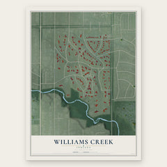

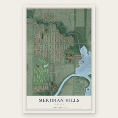
More maps nearby: Castleton, New Britton, Broad Ripple, North Crows Nest and Crows Nest.
The art of mapping a place
How This Map Was Made
Real places. Remarkable detail. Discover the layers that turn geographic data into a map of home.

The view from above
Aerial imagery reveals the character of the land: woodland, open fields, and the patterns of a place.

The shape of the land
Elevation data brings hills, valleys, and subtle changes in the landscape into view.

The details of home
Roads, waterways, and building footprints come together to make the map feel unmistakably local.

Geography becomes art
Considered color, shading, and typography bring the layers together in a map made for your wall.


Process illustrated with Mendon, Massachusetts. Aerial imagery: USDA NAIP. Terrain: USGS 3D Elevation Program. Map details and finished artwork: KNOWOL.
The Details
About This Print
Choose an archival matte print, or a black or white Ayous wood frame. The archival matte print is unframed.
Select your size and finish above to see the matching product image and price.
Materials & Craftsmanship
A contemporary map with the character of a classic atlas, printed on archival matte paper. Optional frames are made from Ayous wood.
Your printed map does not include the watermark shown in the full-map preview.
Shipping & Delivery
Free shipping within the United States. Every print is made to order in the USA.
Buying a gift? Add a note in your cart and we'll include it. We never put prices in the package.
Prints ship within 2 to 3 business days. Allow 7 to 10 days total from ordering for delivery. Timing may vary during holidays or periods of high order volume.
Read our shipping policy.
Returns and damaged prints
Each print is made to order. Change-of-mind refunds are not available after production.
If your print arrives damaged, misprinted or incorrect, contact support@knowol.com within 30 days of receiving it. Include your order number, photos and a description of the issue.
Read our full refund and replacement policy. For questions about your order, email support@knowol.com.