
Search for another town
Free U.S. delivery 7 to 10 days after you order
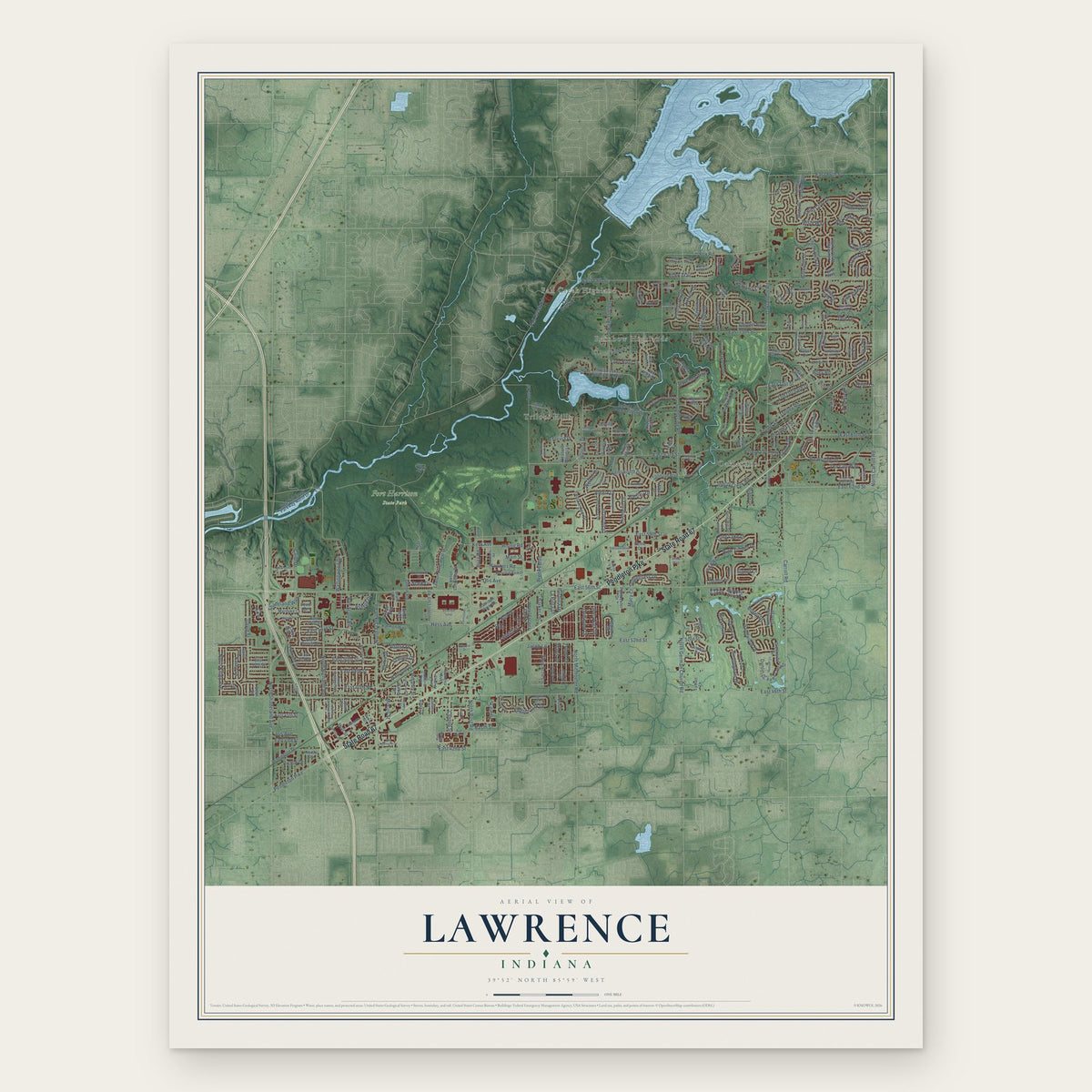
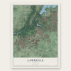
Lawrence, Indiana Map Art
Building by building, with labeled streets and shaded relief.
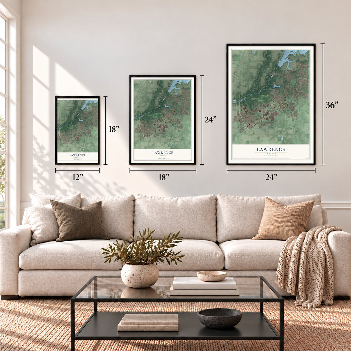
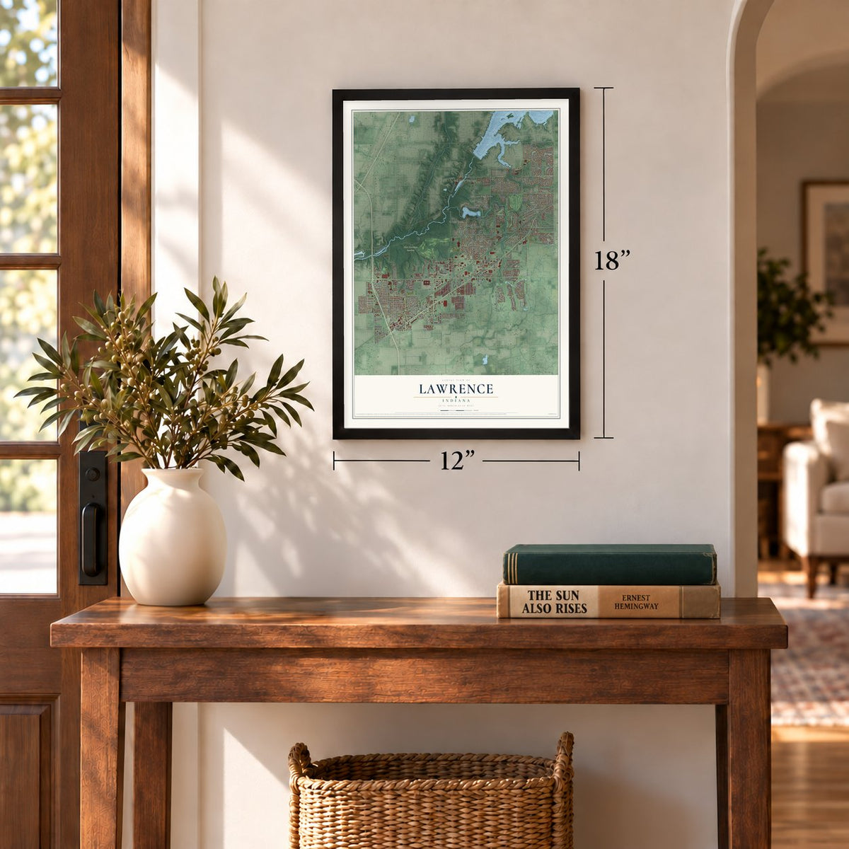
12" x 18" Archival Matte Print
A Map of Home. A Work of Art.
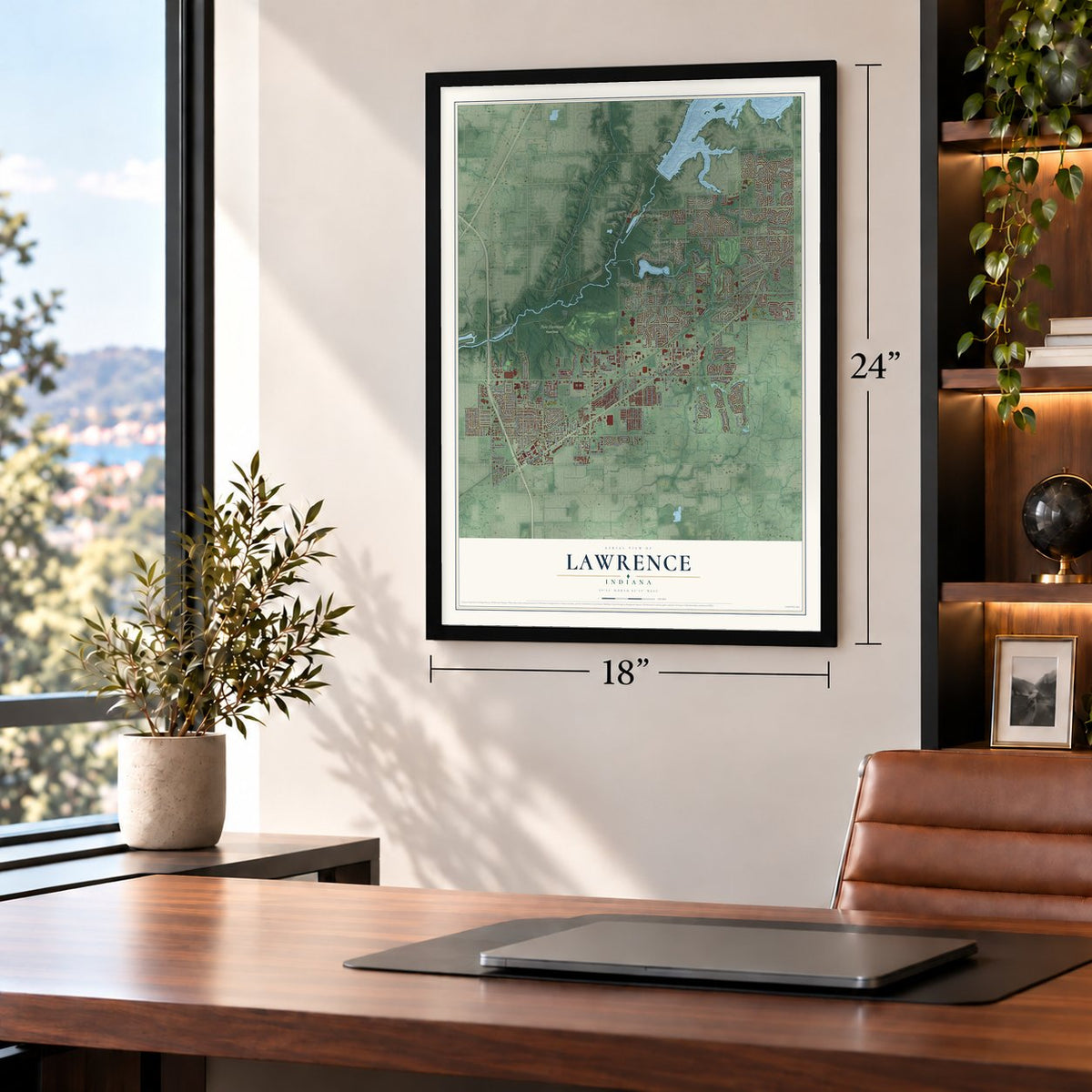
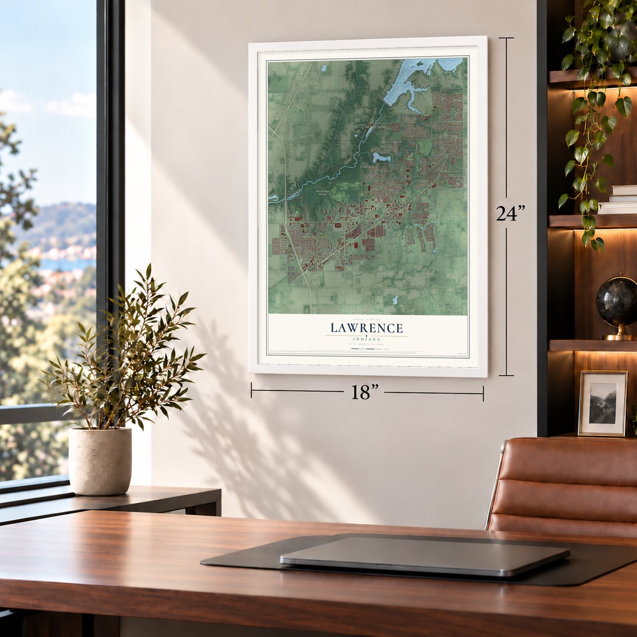
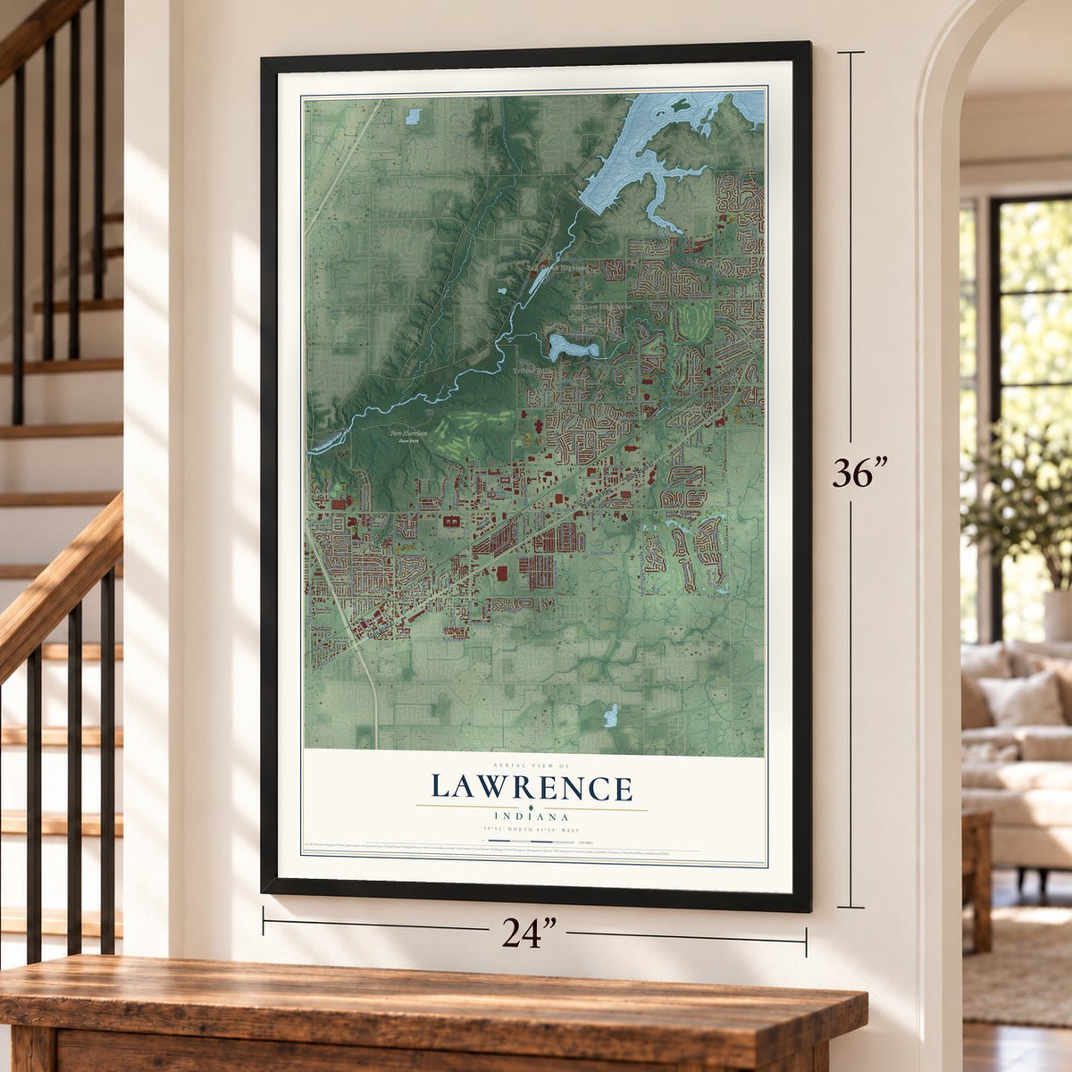
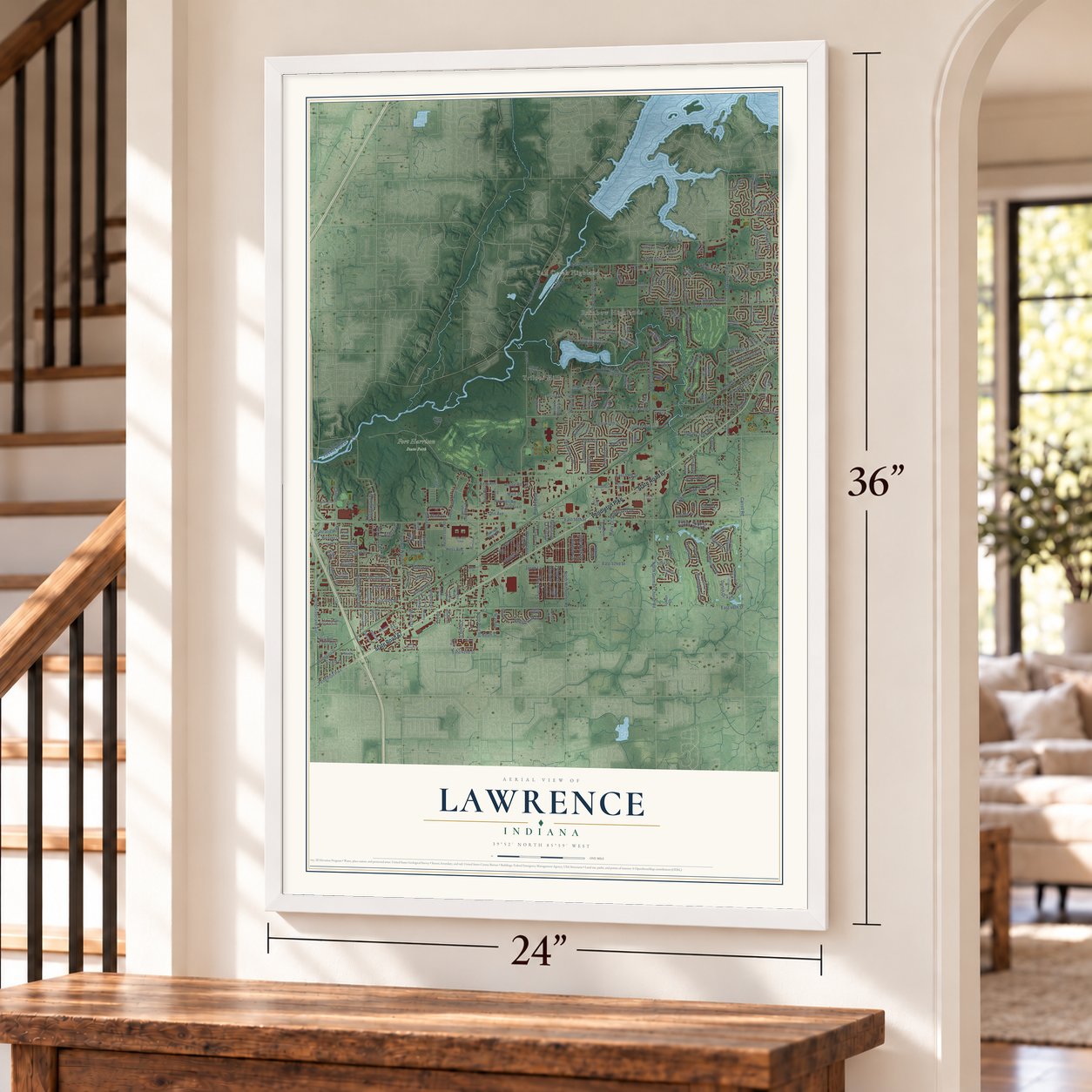
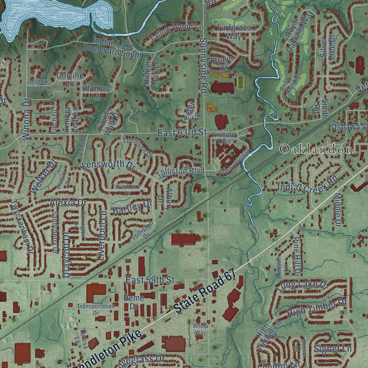
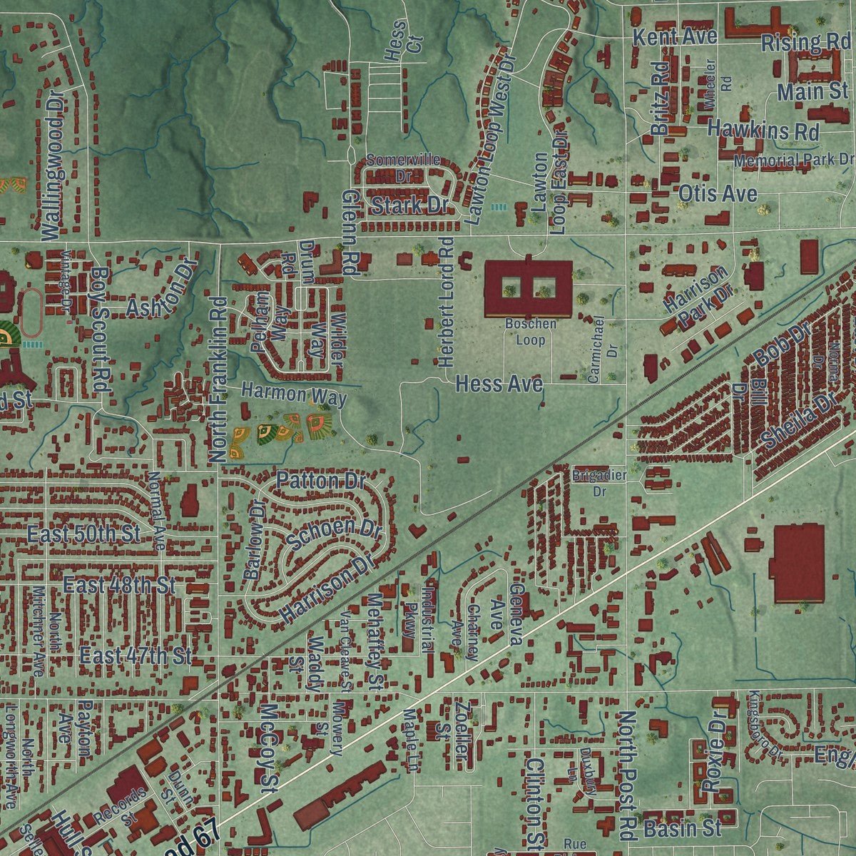
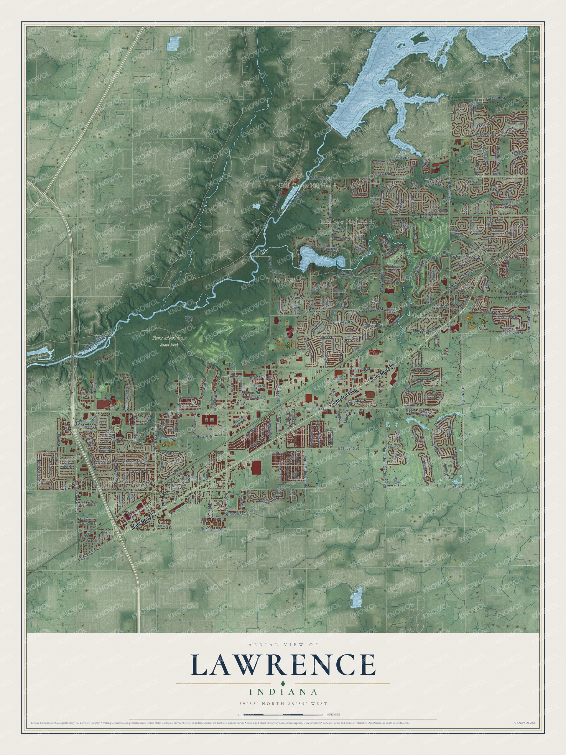
Explore Lawrence, Indiana from a whole new perspective. Created using aerial imagery and detailed geographic data, this map captures Lawrence building by building, with labeled streets, familiar landmarks, and shaded topographical relief that highlights the natural contours of the landscape.
Combining modern data with the timeless character of a vintage atlas, this map is just as interesting up close as it is beautiful on the wall. Whether you grew up in Lawrence, spent memorable years there, or call it home today, this unique map is a great way to celebrate a place that means something to you. Zoom in on the preview to look for your street, and then order a print to put your memories on the wall.
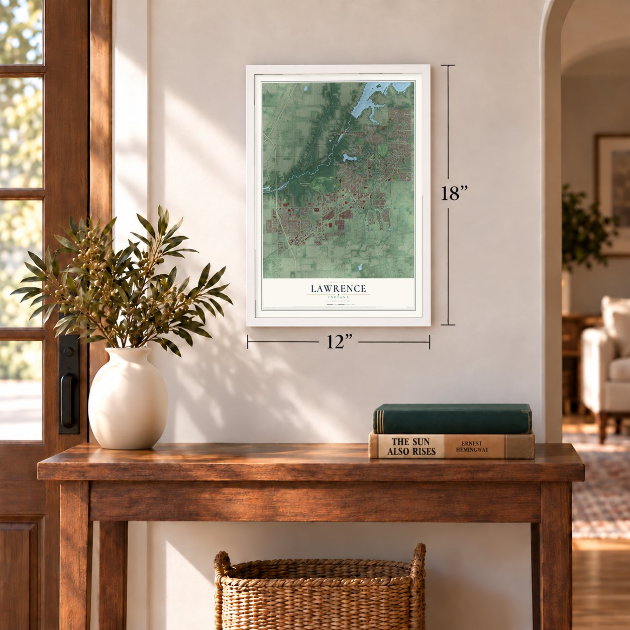
Three ways to hang it
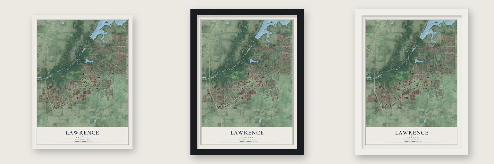
Unframed archival matte, a black wood frame or a white wood frame.
Up close
Geography Worth Displaying
This map was created using accurate cartographic data and authoritative geographic sources, including the U.S. Geological Survey and the Census Bureau. The map brings together terrain, waterways, roads, and building detail. The majority of the streets are labeled, houses are accurately depicted, and the topography is derived from government sources. Combining local data with carefully composed color and shading leads to this beautifully detailed Lawrence artwork for your wall.
Rather than simply showing street outlines, we’ve included as many of the street names as we could reasonably fit on the map while keeping their names legible. Zoom in on the high resolution preview to see exactly what’s on the map. We truly set out to create a statement piece for anyone who loves Lawrence. So whether it’s for you, or a gift for someone you love, we hope this map of Lawrence brings back fond memories.
Read the story behind this map of Lawrence, Indiana from 2026.
Find your street
Names on the Lawrence map
Every name below is printed on this map. Look for your street, your school, the park where you played, or the pond down the road.
Places and landmarks5
- Fall Creek Highland
- Fort Harrison State Park
- Oaklandon
- Rainbow Highlands
- Trilobi Hills
Streets and roads307
- Pendleton Pike
- State Road 67
- Shadeland Way
- Boy Scout Road
- Bartley Drive
- Bent Oak Lane
- East 56th Street
- Liverpool Lane
- Kensworth Drive
- Riley Road
- East 46th Street
- East 52nd Street
- Sunnyside Road
- North Carroll Road
- Oaklandon Road
- East 75th Street
- East 63rd Street
- East 59th Street
- East 79th Street
- North Post Road
- Lee Road
- Carroll Road
- East 47th Street
- East 48th Street
- North Franklin Road
- North Shadeland Avenue
- Fall Creek Road
- North German Church Road
- North Richardt Avenue
- East 50th Street
Show all 307 streets
- Indian Lake Road
- North Mitthoefer Road
- East 86th Street
- East 62nd Street
- Fox Road
- Otis Avenue
- East 65th Street
- East 42nd Street
- Geist Cove Drive
- Bearsdale Drive
- David Street
- Pennycroft Drive
- Old Orchard Drive
- Cherrybark Drive
- Bogey Drive
- Brooks Boulevard
- Broadway Street
- Caito Drive
- Winona Drive
- Alexia Drive
- Glenn Road
- Karen Drive
- Harrison Drive
- Hawkins Road
- Doe Lane
- Kent Avenue
- Birmingham Drive
- East 71st Street
- East 53rd Street
- North Kitley Avenue
- Indian Creek Road
- Deer Walk Drive
- Sedgegrass Drive
- Sandwood Drive
- Rising Road
- High Timber Drive
- Twin Acre Lane
- English Oak Drive
- Wallingwood Drive
- Bayridge Drive
- Macy Court
- Trolley Road
- Hess Avenue
- Trump Drive
- Travis Drive
- Sheila Drive
- Brassie Drive
- Trevia Drive
- Clinton Street
- Admirals Lane
- Britz Road
- Verdin Street
- Tea Cup Way
- Misty Way
- Tealwood Drive
- High View Drive
- Picton Drive
- Schoen Drive
- McCoy Street
- Dellwood Drive
- Ashton Drive
- Ravenna Way
- Echo Trail
- Long Lake Drive
- Sterrett Boulevard
- Basin Street
- Welker Drive
- La Pinta Drive
- Draycott Drive
- Arvada Place
- Roxie Drive
- Patton Drive
- Barker Lane
- Main Street
- Bitternut Drive
- Loudon Lane
- Titania Drive
- Faris Avenue
- Eyford Lane
- Bob Drive
- Castilla Place
- Purpura Drive
- Hull Street
- Stark Drive
- Dunlin Drive
- Roan Lane
- Signet Lane
- Jacob Lane
- Wilder Way
- Pelham Way
- Cider Mill Lane
- Drum Road
- Lawton Loop West Drive
- Lawton Loop East Drive
- Tolliston Boulevard
- East 49th Street
- Harmon Way
- Indian Lake Boulevard South
- Indian Lake Boulevard North
- East 45th Street
- Royal Oakland Drive
- Elmhurst Drive
- Twyckenham Drive
- Elm Ridge Drive
- East 51st Street
- Leone Drive
- East Fall Creek Parkway North Drive
- Lawrence Woods Boulevard
- Mindy Drive
- Payton Avenue
- Hammock Glen Drive
- Winding Wood Drive
- Harrison Park Drive
- Oakland Hills Drive
- High Timber Lane
- Wheel Estates East Drive
- Herbert Lord Road
- Tallow Wood Lane
- Fall Creek Drive
- Shamus Drive
- Lennington Drive
- Geist Estates Drive
- Fawn Ridge Lane
- Glen Cove Drive
- Bittersweet Lane
- Fawn Crest Drive
- Red Rock Road
- Bayhill Drive
- Bill Drive
- Mardyke Lane
- Evian Drive
- Winding Creek Place
- 52nd Street
- Royal Oakland Way
- Admirals Landing Way
- Turfgrass Way
- Silver Tree Drive
- Greenside Drive
- Pine Hill Drive
- Laurel Oak Drive
- East 43rd Street
- Poindexter Drive
- Clark Road
- Barlow Drive
- Mehaffey Street
- Sparrowood Boulevard
- Twin Beech Drive
- Traditions Road
- Hess Court
- Hidden Oak Lane
- Dean Street
- Rainbow Lane
- East 54th Street
- Sanabria Drive
- Oshawa Street
- Misty Drive
- Iron Rock Road
- Teeter Lane
- Middle Drive
- Albury Drive
- Pleasant Woods Lane
- Maple Bluff Place
- Colville Lane
- Timber Walk Drive
- Geneva Avenue
- Zoeller Street
- Lyman Lane
- Brianna Lane
- Plumas Lane
- Dillon Place
- Timber Leaf Lane
- Waddy Street
- Teacup Drive
- Rossi Drive
- Deme Drive
- Cork Place
- North Drive
- Lowe Drive
- Smith Road
- Brave Court
- Guy Way
- Tolliston Drive
- North Mitchner Avenue
- North Longworth Avenue
- Normal Avenue
- Trilobi Drive
- River Birch Lane
- Dustin Drive
- Hawks Hill Road
- Records Street
- Memorial Park Drive
- Long Iron Drive
- Slippery Rock Road
- Winding Creek Lane
- Crystal Pointe Drive
- Sandcherry Drive
- Hamble Drive
- Somerville Drive
- Sellers Street
- Cobblestone West Drive
- McCord Lane
- Gunnison Drive
- Harsin Lane
- Echo Ridge Lane
- Tennison Drive
- English Oak Place
- Teresa Lane
- Briarhill Drive
- Crestway Drive
- Dunn Street
- Charney Avenue
- Seaview Lane
- Sunset Cove Drive
- Redhaven Drive
- Industrial Parkway
- Winding Wood Court
- Echo Grove Circle
- Maple Lane
- Finch Drive
- Mowery Street
- Lincoln Trail
- Rue Biscay
- Geist Bluff Drive
- East 77th Street
- Rustic Court
- Wood Road
- Gann Court
- Deer Way
- Old Colony Road
- Shafter Road
- Prestbury Drive
- Cobblestone South Drive
- Wheeler Road
- Kingman Drive
- Royal Oakland Place
- Presbyterian Drive
- McIntosh Lane
- Parrington Drive
- Boschen Loop
- Brigadier Drive
- Looking Glass Way
- Blakeview Drive
- Kersey Drive
- Brookhaven Drive
- Camfield Way
- Courthouse Drive
- East Louisville Drive
- Transportation Drive
- Rue Riviera
- Cheval Lane
- Laurelwood Drive
- Pebblebrooke West Drive
- Penoyer Lane
- Carmichael Drive
- Kingsboro Drive
- Norma Drive
- Van Cleave Street
- Harrison Ridge Boulevard
- Beatle Drive
- Chesapeake Drive West
- Haddix Woods Drive
- Van Spronsen Court
- Vintage Drive
- Oakland Hills Circle
- Oaklawdon Road
- Echo Grove Lane
- Oswego Drive
- Elliston Drive
- Dry Branch Court
- Geist Pointe Circle
- Duxbury Lane
- Ruby Street
- Davis Lane
- Center Street
- Elsbury Drive
- Oyster Bay Court
- Alicia Way
Names are listed as they appear on the printed map. Zoom into the product photos to find them.
About Lawrence, Indiana
Lawrence is a city of 49,370 people in Marion County, on the northeast side of Indianapolis. James White laid out the town on February 27, 1849, just south of the Pendleton road, and called it Lanesville. Indiana already had a town by that name, so residents tried others, including Jamestown in White's honor. In 1866 the Marion County Commissioners settled on Lawrence, the name of the surrounding township, which honors Captain James Lawrence, a naval hero of the War of 1812.
Residents voted in 1929 to make Lawrence an independent town, and they set up a town marshal and the rest of a local government. In 1969 Indianapolis and Marion County joined their governments under Unigov, but Lawrence stayed one of four excluded cities. It kept its own mayor and council, and its voters also help choose the mayor of Indianapolis and the City-County Council.
- Fort Benjamin HarrisonFort Benjamin Harrison sits inside Lawrence, within Fort Harrison State Park in the northwest part of the city. Fall Creek, flowing southwest toward the White River, passes through the same corner and forms part of the city line.
- The resort that never cameAt Minnewa Springs, northeast of town by a mile and a half, water from underground pushed up through cracked clay. There was once talk of making the springs a popular resort, and a few early steps were taken, but the plan went nowhere.
- Titles in 1998, 2001 and 2004The Lawrence Township school district, the ninth largest in Indiana, runs two high schools, Lawrence Central and Lawrence North. Lawrence Central's marching band won championships in 1998, 2001 and 2004, and Lawrence North won one in basketball in 2006.
Keep exploring Indiana
Lawrence is one of 1,023 Indiana towns we've mapped. Every dot on the map is a print of its own.
The search covers every state, Indiana first.
Near Lawrence
Order 2 or more town maps and save 10%. Shown in the size and finish you picked above, so they hang as a set.
- McCordsville 12" x 18" / Archival Matte Print $39.99
- Castleton 12" x 18" / Archival Matte Print $39.99
- Cumberland 12" x 18" / Archival Matte Print $39.99
More maps nearby: Warren Park, Fishers, New Britton, Little Flower and Irvington.
The art of mapping a place
How This Map Was Made
Real places. Remarkable detail. Discover the layers that turn geographic data into a map of home.

The view from above
Aerial imagery reveals the character of the land: woodland, open fields, and the patterns of a place.

The shape of the land
Elevation data brings hills, valleys, and subtle changes in the landscape into view.

The details of home
Roads, waterways, and building footprints come together to make the map feel unmistakably local.

Geography becomes art
Considered color, shading, and typography bring the layers together in a map made for your wall.


Process illustrated with Mendon, Massachusetts. Aerial imagery: USDA NAIP. Terrain: USGS 3D Elevation Program. Map details and finished artwork: KNOWOL.
The Details
About This Print
Choose an archival matte print, or a black or white Ayous wood frame. The archival matte print is unframed.
Select your size and finish above to see the matching product image and price.
Materials & Craftsmanship
A contemporary map with the character of a classic atlas, printed on archival matte paper. Optional frames are made from Ayous wood.
Your printed map does not include the watermark shown in the full-map preview.
Shipping & Delivery
Free shipping within the United States. Every print is made to order in the USA.
Buying a gift? Add a note in your cart and we'll include it. We never put prices in the package.
Prints ship within 2 to 3 business days. Allow 7 to 10 days total from ordering for delivery. Timing may vary during holidays or periods of high order volume.
Read our shipping policy.
Returns and damaged prints
Each print is made to order. Change-of-mind refunds are not available after production.
If your print arrives damaged, misprinted or incorrect, contact support@knowol.com within 30 days of receiving it. Include your order number, photos and a description of the issue.
Read our full refund and replacement policy. For questions about your order, email support@knowol.com.