
Search for another town
Free U.S. delivery 7 to 10 days after you order
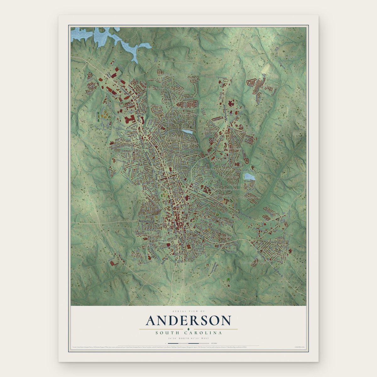
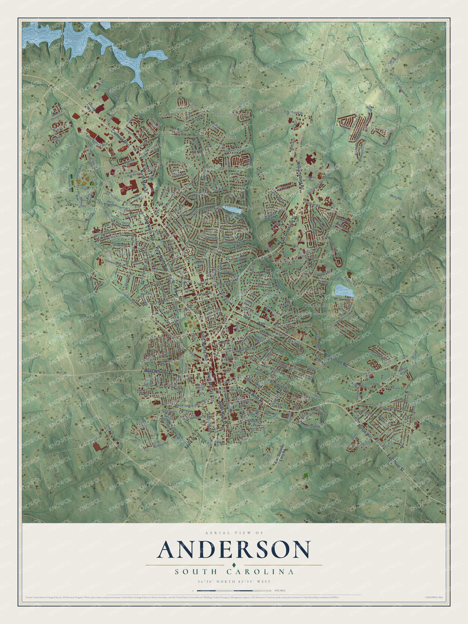
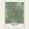
Anderson, South Carolina Map Art
Building by building, with labeled streets and shaded relief.
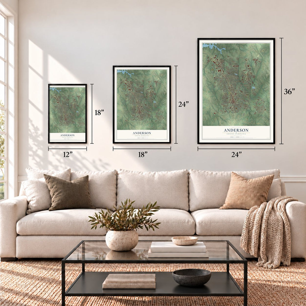
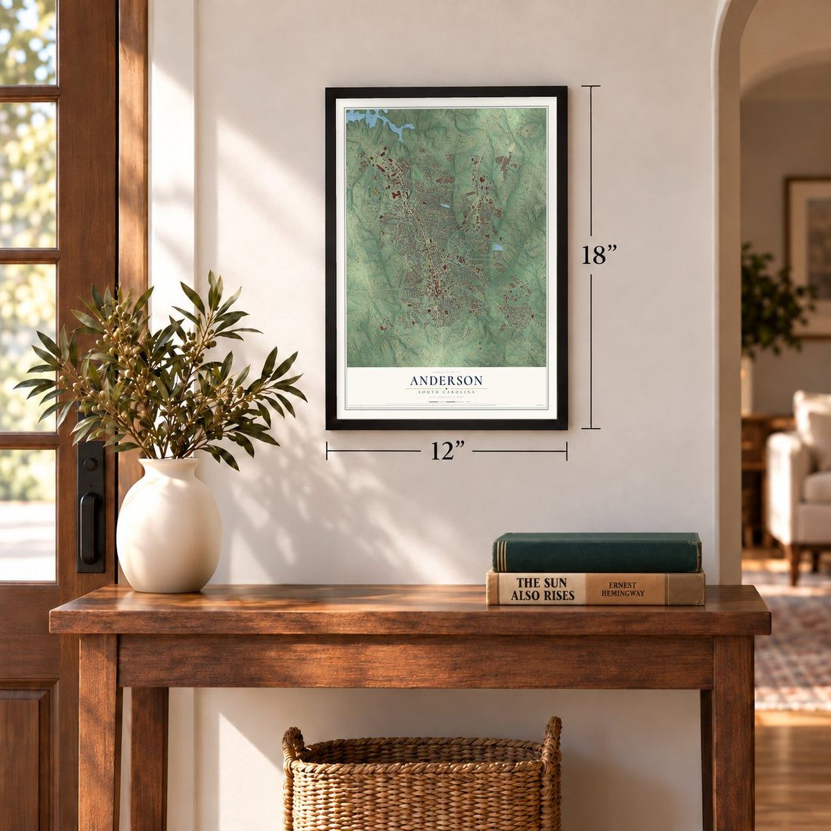
12" x 18" Archival Matte Print
A Map of Home. A Work of Art.
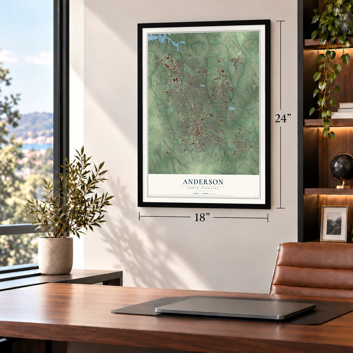
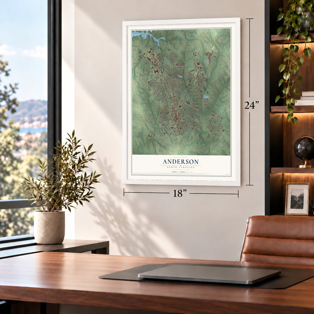
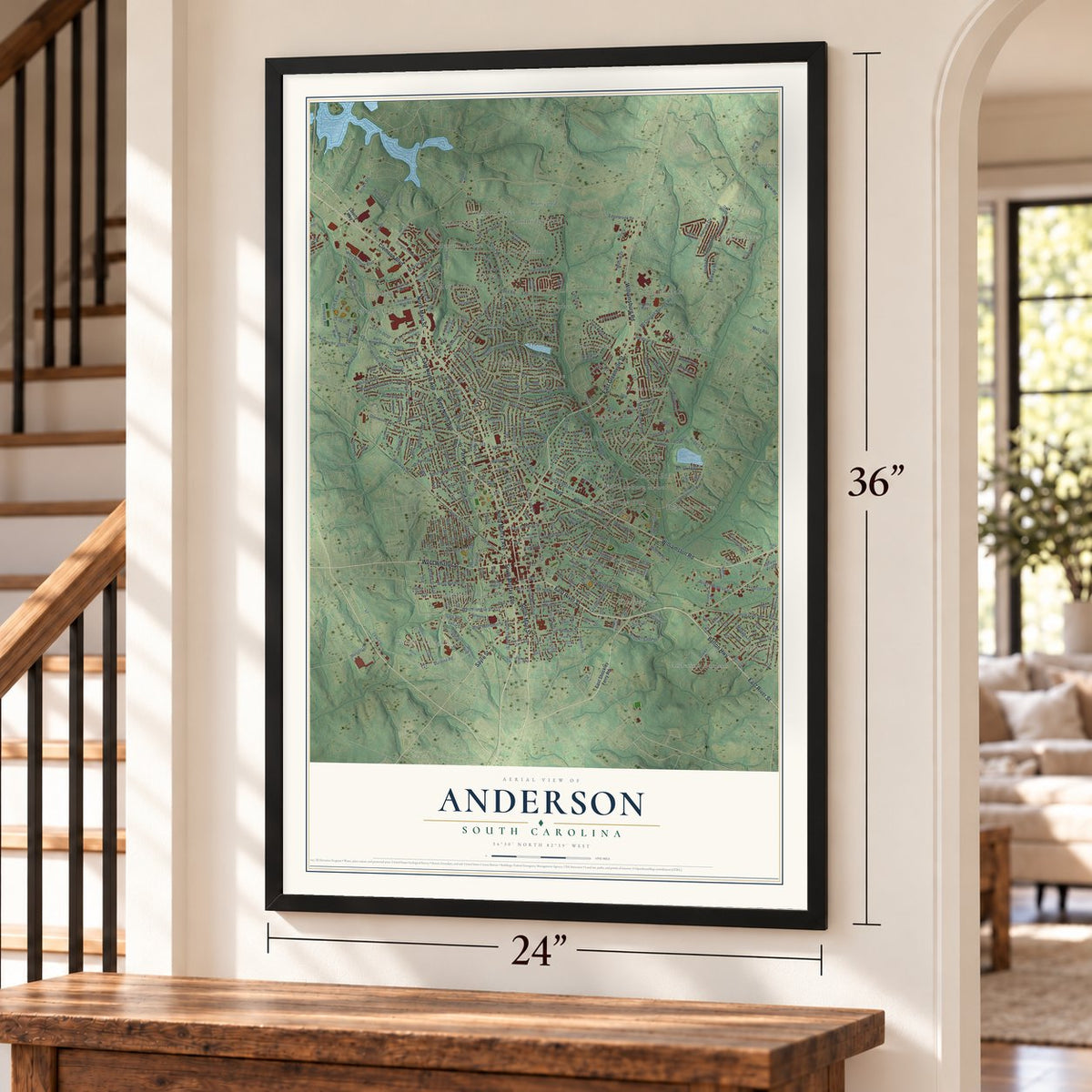
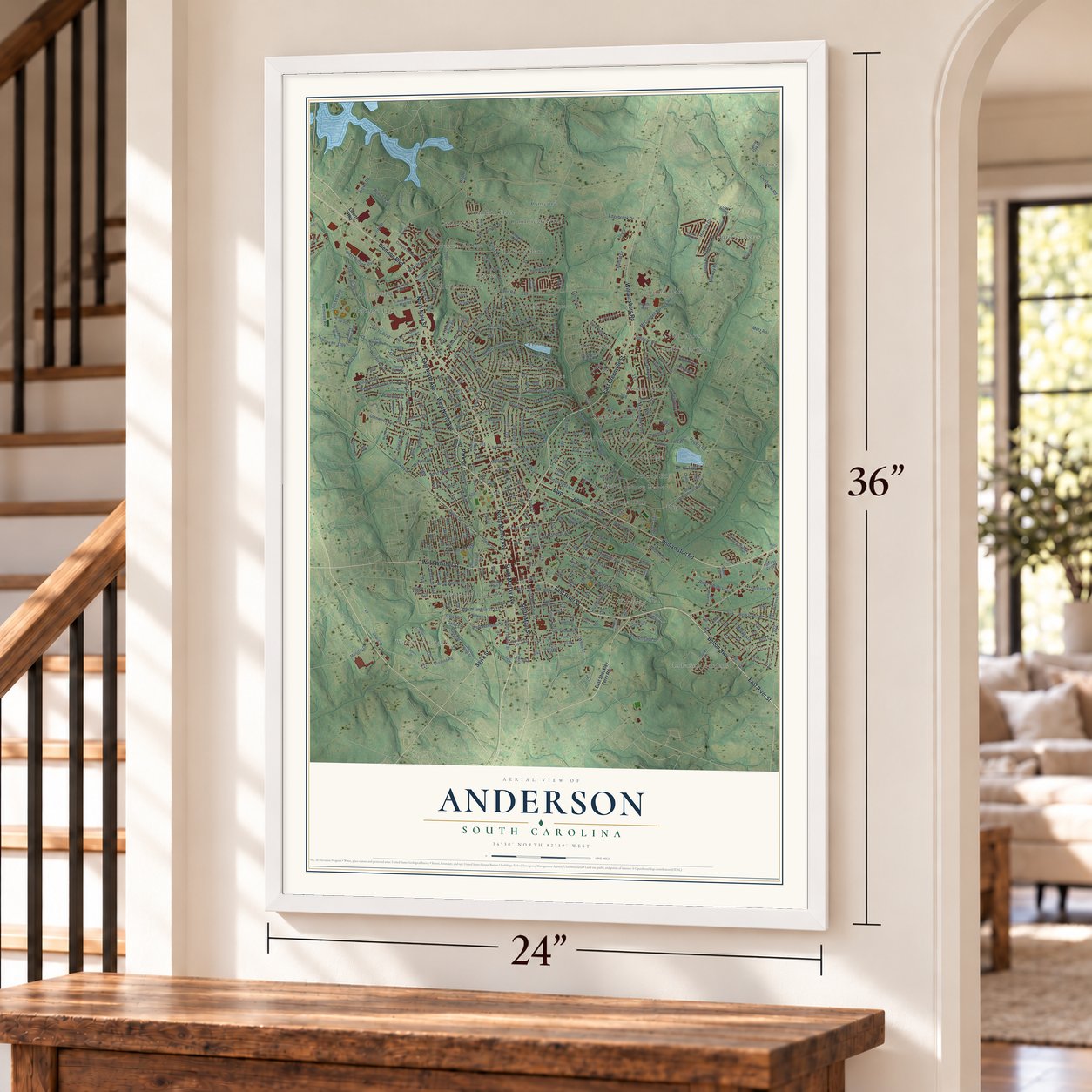
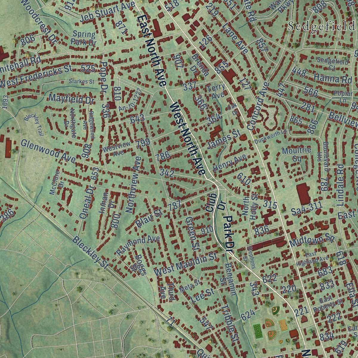
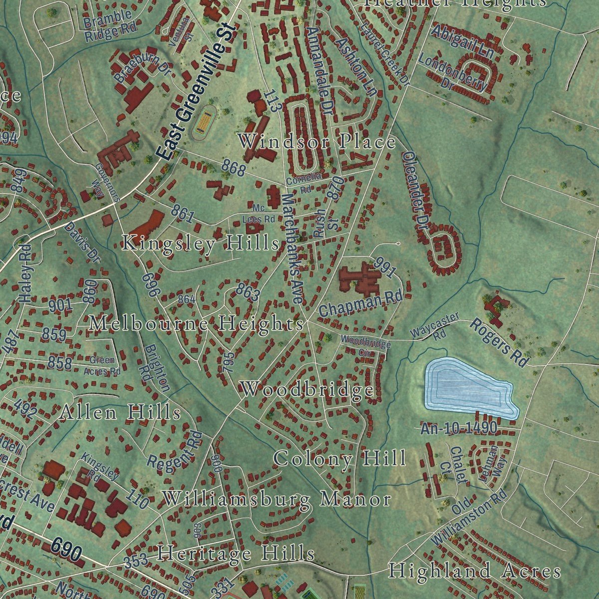
Explore Anderson, South Carolina from a whole new perspective. Created using aerial imagery and detailed geographic data, this map captures Anderson building by building, with labeled streets, familiar landmarks, and shaded topographical relief that highlights the natural contours of the landscape.
Combining modern data with the timeless character of a vintage atlas, this map is just as interesting up close as it is beautiful on the wall. Whether you grew up in Anderson, spent memorable years there, or call it home today, this unique map is a great way to celebrate a place that means something to you. Zoom in on the preview to look for your street, and then order a print to put your memories on the wall.
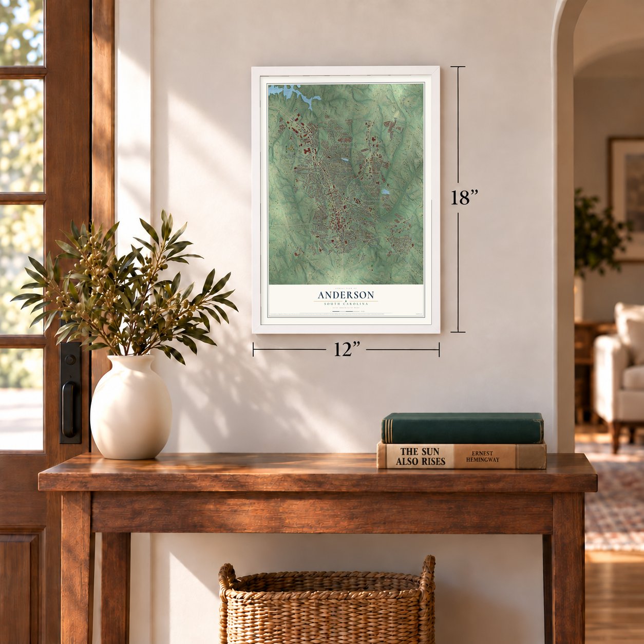
Three ways to hang it
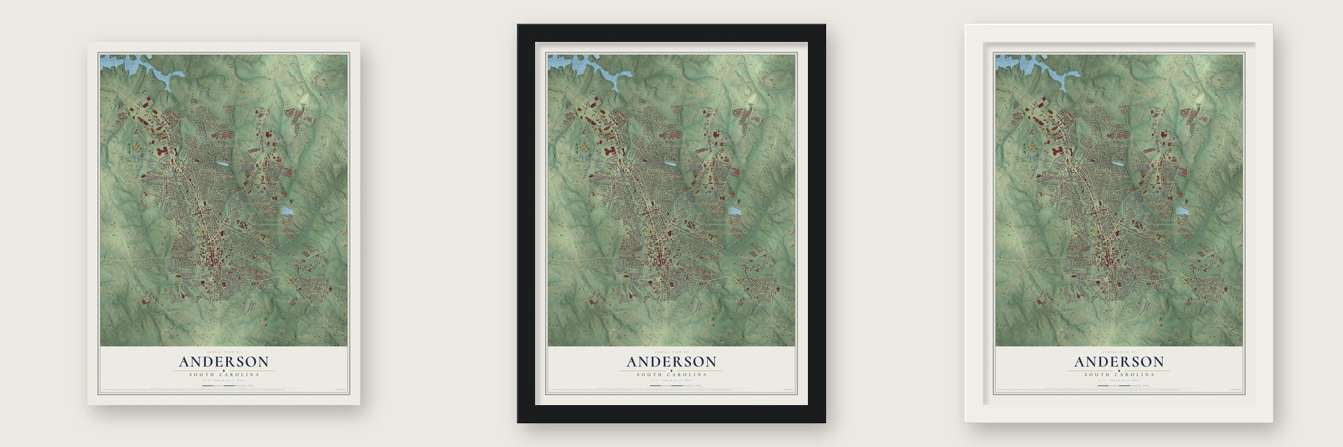
Unframed archival matte, a black wood frame or a white wood frame.
Up close
Geography Worth Displaying
This map was created using accurate cartographic data and authoritative geographic sources, including the U.S. Geological Survey and the Census Bureau. The map brings together terrain, waterways, roads, and building detail. The majority of the streets are labeled, houses are accurately depicted, and the topography is derived from government sources. Combining local data with carefully composed color and shading leads to this beautifully detailed Anderson artwork for your wall.
Rather than simply showing street outlines, we’ve included as many of the street names as we could reasonably fit on the map while keeping their names legible. Zoom in on the high resolution preview to see exactly what’s on the map. We truly set out to create a statement piece for anyone who loves Anderson. So whether it’s for you, or a gift for someone you love, we hope this map of Anderson brings back fond memories.
Read the story behind this map of Anderson, South Carolina from 2026.
Find your street
Names on the Anderson map
Every name below is printed on this map. Look for your street, your school, the park where you played, or the pond down the road.
Places and landmarks35
- Allen Hills
- Anderson Gardens
- Anderson Village
- Autumn Oaks
- Brittany Park
- Caldwell Village
- Cambridge Place
- Carter Hall
- Cedar Acres
- Cedarwood
- Colony Hill
- Concord
Show all 35 places
- Country Acres
- Fairfield Acres
- Franklin Place
- Hanover
- Heather Heights
- Heritage Hills
- Heritage Trace
- Highland Acres
- Holly Creek
- Kingsley Hills
- Marilyn Acres
- Melbourne Heights
- Mount Vernon
- Park Place
- Sedgefield
- Spring Park
- Stratford Terrace
- Toxaway
- Westview Heights
- Williamsburg Manor
- Windsor Place
- Woodbridge
- Bradley Park
Streets and roads270
- East Greenville Street
- North Murray Avenue
- South Murray Avenue
- Park Drive
- East River Street
- South Main Street
- Clemson Boulevard
- Williamsburg Road
- West North Avenue
- North Main Street
- Sayre Street
- Boulevard
- Williamston Road
- East North Avenue
- Belton Highway
- West Whitner Street
- East Calhoun Street
- Midway Road
- South Fant Street
- Marchbanks Avenue
- Millgate Road
- North Boulevard
- Lee Street
- Blair Street
- North Fant Street
- Lindale Road
- Mall Road
- Rogers Road
- East Mauldin Street
- Miracle Mile Drive
Show all 270 streets
- S4-359
- Sa4-311
- Cv-10-0010
- Glenn Street
- Mill Street
- Stratford Drive
- Oneal Drive
- Thornehill Drive
- East Orr Street
- Cedar Ridge
- Quinn Street
- Lynn Avenue
- Jim Ed Rice
- Bleckley Street
- Concord Road
- East Market Street
- West Market Street
- West Franklin Street
- North Street
- Reed Road
- East Whitner Street
- Concord Avenue
- White Street
- Kings Road
- Glenwood Avenue
- College Avenue
- Tribble Street
- Harriett Circle
- Bellview Road
- South Towers Street
- Plantation Road
- Whitehall Road
- West Fredericks Street
- South McDuffie Street
- Belhaven Road
- Simpson Road
- McConnell Springs Road
- Lewis Street
- Graylyn Drive
- West Mauldin Street
- River Heights Circle
- Jeb Stuart Avenue
- Eskew Circle
- Pope Drive
- Liberty Drive
- Bolt Drive
- Hembree Road
- Sheldon Drive
- Beltline Con
- West Hampton Street
- Crestview Road
- Annandale Drive
- Oleander Drive
- Leconte Road
- Brookmeade Drive
- East Marshall Avenue
- Haley Road
- West Beltline Boulevard
- Railroad Street
- Arnold Drive
- Ella Street
- Shannon Way
- Shirlane Drive
- Ashton Lane
- Lane Avenue
- Little Creek Drive
- Ridgecrest Avenue
- Mayfield Drive
- Alisha Drive
- Brown Road
- Northview Avenue
- Regent Road
- Allison Circle
- Pine Lane
- Osborne Avenue
- Woodcrest Drive
- Burdine Road
- Queen Drive
- King Street
- Caughlin Avenue
- Fritz Drive
- Marion Street
- Edgebrook Drive
- Brown Street
- Gary Street
- An-10-1490
- Hanna Road
- Green Street
- James Street
- Mildred Street
- Midtown Square
- Fair Street
- Monitor Drive
- Dora Street
- Chapman Road
- Thomas Street
- Delia Street
- Magaha Drive
- Abigail Lane
- Mutual Drive
- Metz Road
- Club Drive
- East Shockley Ferry Road
- Liberty Highway
- Anderson Mall Road
- Henry Avenue
- Old Williamston Road
- Moultrie Square
- Hammett Acres Road
- Hambree Road
- West Reed Street
- Civic Center Boulevard
- Freedom Way
- Country Club Lane
- Holly Ridge Drive
- Easy Gap Road
- Johnson Street
- East Franklin Street
- Walden Parkway
- Clarke Lane
- Forest Hill Drive
- Laurel Oak Drive
- North Holly Street
- Brighton Road
- Spring Park Drive
- Quarry Street
- Norris Street
- Raymond Avenue
- Railroad Circle
- Warwick Street
- Salem Street
- Cinema Center
- Bramble Ridge Road
- Braeburn Drive
- Comet Street
- Gossett Street
- Salem Church Road
- Benjamin Street
- Inman Drive
- Londonberry Drive
- Orr Street
- Healthy Way
- Patogonia Road
- Elmhurst Lane
- Barry Noble Boulevard
- Linmar Circle
- Revere Street
- Crowther Drive
- Johnny Mathis Boulevard
- Fulwer Street
- Old Belton Road
- Cv-10-0017
- Lift Style Lane
- Plantation Drive
- Fairway Green
- Reed Street
- Rush Street
- Brenda Drive
- Fallstaff Street
- Woodland Way
- Saint Paul Street
- Oak Hill Drive
- Whitner Drive
- Sherry Drive
- Boggs Street
- Chalet Court
- Third Avenue
- Henry Lane
- River Oak Drive
- Davis Drive
- Prince Street
- Liddell Avenue
- Terry Avenue
- Nalley Drive
- Kingsley Road
- Camfield Road
- Rose Hill
- Poplar Lane
- An-10-1227
- Hillcrest Circle
- Boulevard Heights
- Stonehurst Road
- Westview Avenue
- Laurel Creek Drive
- Waycaster Road
- McClure Drive
- Carter Hall Drive
- Maxie Drive
- Terrace Drive
- Echo Trail
- Rose Hl
- Dickens Avenue
- East Roberts Street
- Lanford Street
- Stone Creek Drive
- Monroe Street
- Cater Street
- Plain Street
- Northgate Drive
- Sedgefield Court
- Smith Street
- John Street
- East Society Street
- Minor Street
- Gilmer Street
- Graylyn Court
- Garden Gate Drive
- Lehman Way
- Meta Street
- Walls Drive
- Governors Way
- Bedford Forest Avenue
- Cornelia Road
- Green Acres Road
- Mc Lees Road
- Hillsborough Drive
- Bleckley Trail
- East Highland Avenue
- Starkes Street
- Carter Woods Drive
- Ridgewood Avenue
- Sansbury Drive
- Bonaire Point
- East Beltline Boulevard
- Oak Drive
- Stephens Street
- Chastine Drive
- Barron Glenn Way
- Woodbridge Circle
- Frances Street
- Gray Street
- Duckworth Lane
- Perpetual Square
- Town Creek Trail
- Lafayette Street
- Newell Street
- Ventura Street
- Mimosa Pk
- Bonham Court
- Dixon Street
Names are listed as they appear on the printed map. Zoom into the product photos to find them.
About Anderson, South Carolina
Anderson is a city of 28,106 people and the seat of Anderson County, in the northwest corner of South Carolina. The Cherokee lived here first, but they took the British side in the Revolution, and after the war their land was seized as reparations and opened to settlers. The town was settled in 1826, the same year Anderson District was formed from the Pendleton district, and it was incorporated in 1828 as Anderson Court House.
The name honors Robert Anderson, who fought in the Revolutionary War and had explored this region in the mid-18th century. In 1895 the town dropped the words Court House and became simply Anderson. That same year, power from a dam on the Rocky River first lit its streets.
- The Electric CityIn 1895 William C. Whitner brought power to Anderson from a hydroelectric plant on the Rocky River.
- Portman Shoals in 1897In 1897 Whitner added a 10,000-volt station at Portman Shoals. No earlier hydroelectric plant in the U.S. had produced such high voltage with no step-up transformers. Floodwater carried off the Portman Dam in 1901, and the city went dark until the dam was rebuilt in 1902.
- Union troops on May 1, 1865The Johnson Female Seminary, named for William Bullein Johnson, opened in 1848 as the town's first college and became Johnson University a year later. It closed during the Civil War and served as a Confederate treasury. On May 1, 1865, Union soldiers arrived hunting for the treasury, ransacked the office and took over the main college building as headquarters. A small fight, the Battle of Anderson, left two Union casualties, and a Union garrison remained after the war.
- Anderson University since 1911The Anderson Chamber of Commerce founded Anderson College in 1911 to carry on the work of Johnson University. The Baptist school grew into Anderson University, and as of October 2022 it was the largest private university in South Carolina.
Keep exploring South Carolina
Anderson is one of 540 South Carolina towns we've mapped. Every dot on the map is a print of its own.
The search covers every state, South Carolina first.
Near Anderson
Order 2 or more town maps and save 10%. Shown in the size and finish you picked above, so they hang as a set.
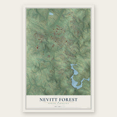
- Nevitt Forest 12" x 18" / Archival Matte Print $39.99
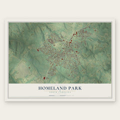
- Homeland Park 12" x 18" / Archival Matte Print $39.99
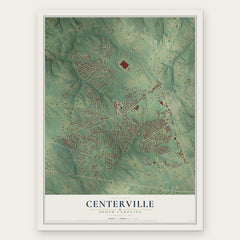
- Centerville 12" x 18" / Archival Matte Print $39.99
More maps nearby: Northlake, Lebanon, Flat Rock, Sandy Springs and Belton.
The art of mapping a place
How This Map Was Made
Real places. Remarkable detail. Discover the layers that turn geographic data into a map of home.

The view from above
Aerial imagery reveals the character of the land: woodland, open fields, and the patterns of a place.

The shape of the land
Elevation data brings hills, valleys, and subtle changes in the landscape into view.

The details of home
Roads, waterways, and building footprints come together to make the map feel unmistakably local.

Geography becomes art
Considered color, shading, and typography bring the layers together in a map made for your wall.


Process illustrated with Mendon, Massachusetts. Aerial imagery: USDA NAIP. Terrain: USGS 3D Elevation Program. Map details and finished artwork: KNOWOL.
The Details
About This Print
Choose an archival matte print, or a black or white Ayous wood frame. The archival matte print is unframed.
Select your size and finish above to see the matching product image and price.
Materials & Craftsmanship
A contemporary map with the character of a classic atlas, printed on archival matte paper. Optional frames are made from Ayous wood.
Your printed map does not include the watermark shown in the full-map preview.
Shipping & Delivery
Free shipping within the United States. Every print is made to order in the USA.
Buying a gift? Add a note in your cart and we'll include it. We never put prices in the package.
Prints ship within 2 to 3 business days. Allow 7 to 10 days total from ordering for delivery. Timing may vary during holidays or periods of high order volume.
Read our shipping policy.
Returns and damaged prints
Each print is made to order. Change-of-mind refunds are not available after production.
If your print arrives damaged, misprinted or incorrect, contact support@knowol.com within 30 days of receiving it. Include your order number, photos and a description of the issue.
Read our full refund and replacement policy. For questions about your order, email support@knowol.com.