
Search for another town





Free U.S. delivery 7 to 10 days after you order
Aspen, Colorado Map Art
A new map of Aspen, Colorado, made in 2026 and printed to order on thick archival matte paper.
12" x 18" Archival Matte Print
A Map of Home. A Work of Art.
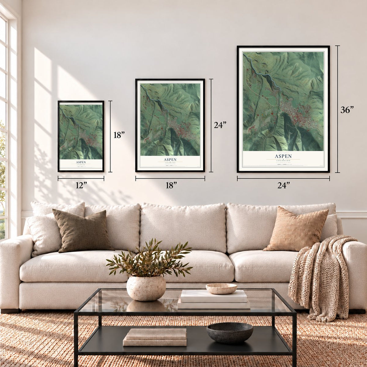
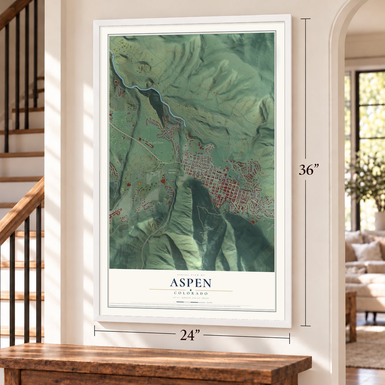
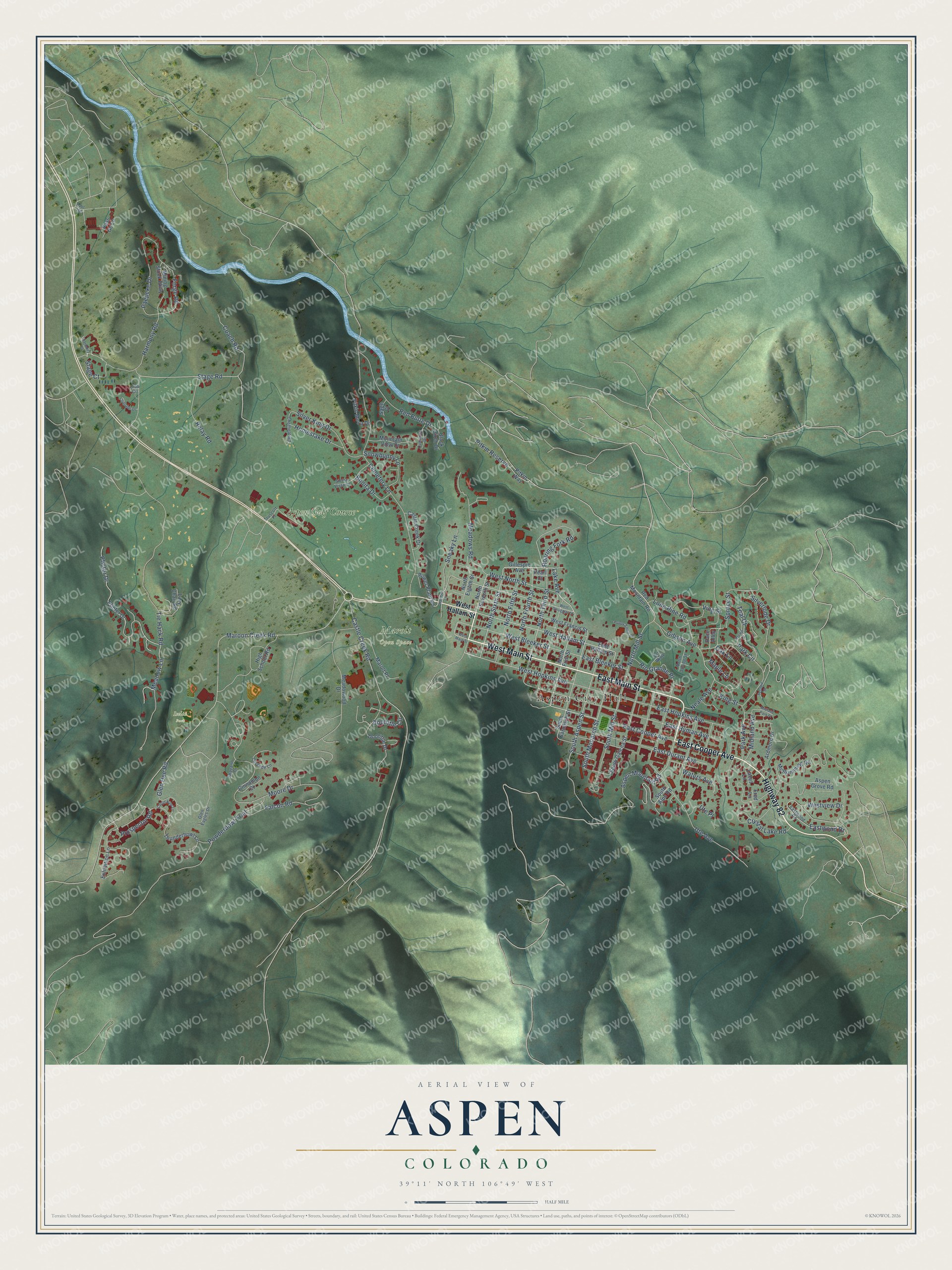
Explore Aspen, Colorado from a whole new perspective. Created using aerial imagery and detailed geographic data, this map captures Aspen building by building, with labeled streets, familiar landmarks, and shaded topographical relief that highlights the natural contours of the landscape.
Combining modern data with the timeless character of a vintage atlas, this map is just as interesting up close as it is beautiful on the wall. Whether you grew up in Aspen, spent memorable years there, or call it home today, this unique map is a great way to celebrate a place that means something to you. Zoom in on the preview to look for your street, and then order a print to put your memories on the wall.
Three ways to hang it
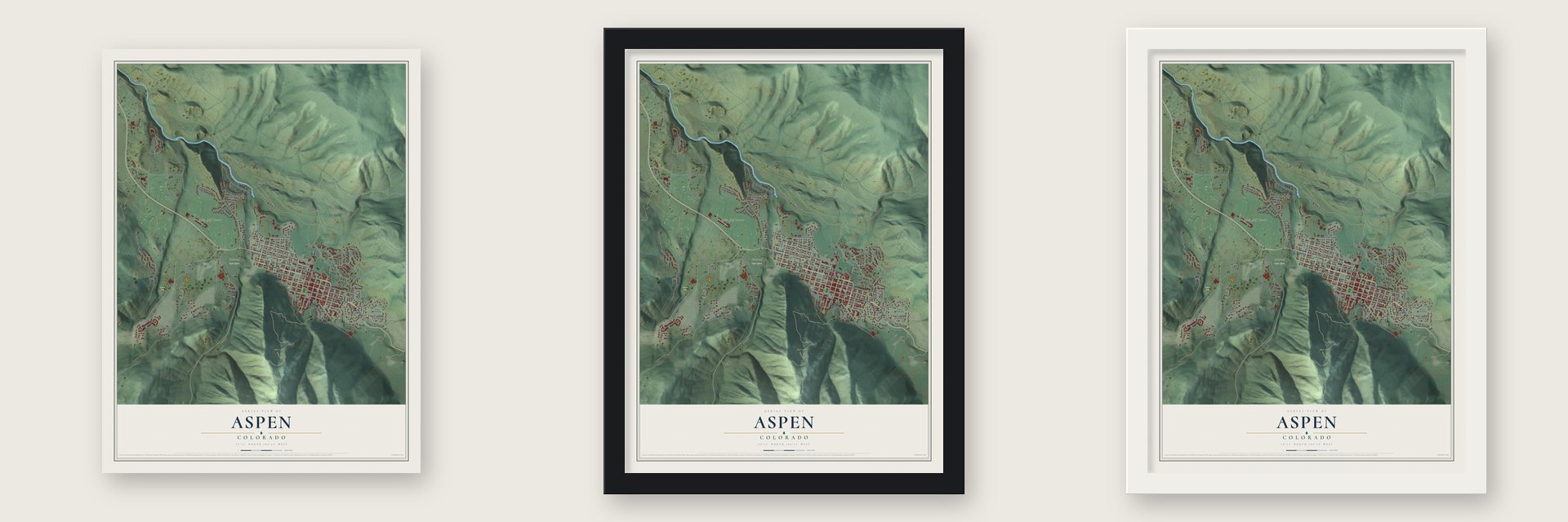
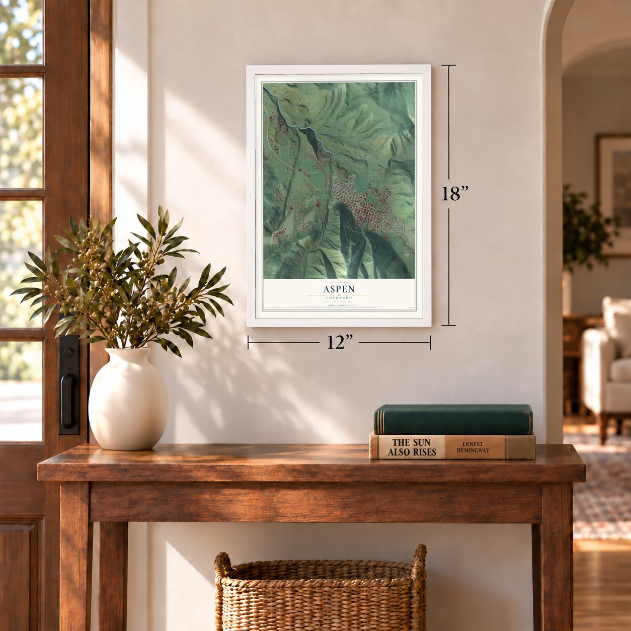
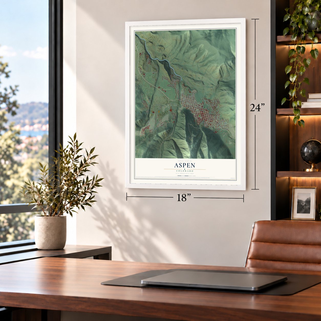
Unframed archival matte, a black wood frame or a white wood frame.
Up close
Geography Worth Displaying
This map was created using accurate cartographic data and authoritative geographic sources, including the U.S. Geological Survey and the Census Bureau. The map brings together terrain, waterways, roads, and building detail. The majority of the streets are labeled, houses are accurately depicted, and the topography is derived from government sources. Combining local data with carefully composed color and shading leads to this beautifully detailed Aspen artwork for your wall.
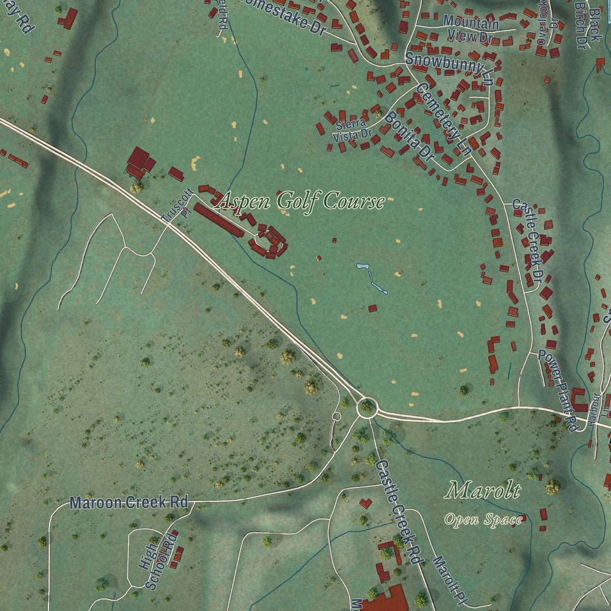
Rather than simply showing street outlines, we’ve included as many of the street names as we could reasonably fit on the map while keeping their names legible. Zoom in on the high resolution preview to see exactly what’s on the map. We truly set out to create a statement piece for anyone who loves Aspen. So whether it’s for you, or a gift for someone you love, we hope this map of Aspen brings back fond memories.
Read the story behind this map of Aspen, Colorado from 2026.

About Aspen, Colorado
Aspen is a city of 7,004 people and the seat of Pitkin County, set on the Roaring Fork River just below 8,000 feet. In 1879 a party of miners stayed in the valley even though Governor Frederick Pitkin urged them to go back over the Continental Divide, because the Utes were fighting to keep their land. That year Henry B. Gillespie set up the first permanent camp on the Roaring Fork and called it Ute City.
The camp was renamed Aspen for the aspen trees around it. It opened a post office on June 7, 1880, became the seat of the new Pitkin County on February 23, 1881, and was incorporated on April 1, 1881. The Sherman Silver Purchase Act of 1890 doubled federal silver buying, and in 1891 and 1892 Aspen outproduced Leadville as the top silver district in the country. When Congress repealed the act in the Panic of 1893, the mines shut within weeks, and by 1930 only 705 people were left.
- A railroad race in 1886Two lines raced for Aspen's silver trade. In mid-October 1886 the Denver and Rio Grande, coming from Glenwood Springs, ran the first train into town, the same week the Colorado Midland reached Aspen Junction, now Basalt. The Midland got to Maroon Creek by December 1887, but late steel held up its Maroon Creek Bridge, so its first train didn't arrive until early February 1888. Passenger trains stopped for good on February 24, 1948, and freight followed in August 1968.
- A governor from AspenAfter the silver crash, many people wanted silver made legal tender, and the People's Party took up the cause. Davis H. Waite, an Aspen newspaperman and agitator, rode that movement to the governor's office, though the silver campaign failed in the end. The Davis Waite House joined the National Register in 1987.
- Skiing from 1946Investors planned a ski area in the 1930s, but World War II stopped the work. Friedl Pfeifer had trained near Aspen with the 10th Mountain Division, and he came back and teamed up with Walter Paepcke, an industrialist, and Elizabeth Paepcke, his wife. Together they started the Aspen Skiing Company in 1946. Buttermilk and Aspen Highlands opened in 1958, and Snowmass followed in 1967.
- A tent by Eero SaarinenWith Walter Paepcke's help, the Goethe Bicentennial Convocation came to Aspen in 1949 and met under a tent that Eero Saarinen designed. In 1950 the town hosted the FIS World Championships.
- The Movie Map of 1978In 1978 crews photographed Aspen's streets in detail for the Aspen Movie Map, a project paid for by the U.S. Department of Defense. It let users travel through the town on a screen and stands among the earliest examples of virtual reality software.
Find your street
Names on the Aspen map
Every name below is printed on this map. Look for your street, your school, the park where you played, or the pond down the road.
Places and landmarks4
- Aspen City Hall
- Marolt Open Space
- Iselin Park
- Aspen Golf Course
Streets and roads126
- East Main Street
- West Main Street
- East Cooper Avenue
- Highway 82
- West Hallam Street
- Lake Avenue
- North Third Street
- North Sixth Street
- South Monarch Street
- West Hopkins Avenue
- Neale Avenue
- West Bleeker Street
- Maple Lane
- Park Circle
- West North Street
- Meadow Lane
- North Fourth Street
- Tie Hack Road
- North Mill Street
- Forge Road
- Pfister Drive
- Doolittle Circle
- Maroon Creek Road
- Moore Drive
- Cemetery Lane
- Castle Creek Road
- Stage Road
- East Hopkins Avenue
- East Hyman Avenue
- East Durant Avenue
Show all 126 streets
- Harmony Road
- South Mill Street
- Ute Avenue
- Paepcke Drive
- Gibson Avenue
- South Aspen Street
- Roaring Fork Road
- Red Butte Drive
- Meadows Road
- Crystal Lake Road
- Vine Street
- Silver King Drive
- Eastwood Drive
- Spruce Street
- Aspen Mountain Road
- Powderbowl Trail
- North Fifth Street
- Coach Road
- Relay Road
- Glen Dee Road
- Snowbunny Lane
- Pitkin Reserve
- Lone Pine Road
- Sneaky Lane
- Falcon Road
- East Bleeker Street
- Homestake Drive
- Midland Avenue
- Prospector Road
- Rio Grande Place
- King Street
- Silverlode Drive
- Park Avenue
- Waters Avenue
- Westview Drive
- Stage Court
- Ute Place
- Oak Lane
- Bonita Drive
- Teal Court
- Gillespie Avenue
- North Seventh Street
- East Hallam Street
- North First Street
- Power Plant Road
- Red Mountain Road
- North Eighth Street
- South Garmisch Street
- Mining Stock Parkway
- Race Alley
- McSkimming Road
- West Francis Street
- Thunderbowl Lane
- Doolittle Drive
- Aspen Grove Road
- South Galena Street
- Pfiefer Drive
- Exhibition Lane
- South Alps Road
- Pitkin Way
- Marolt Place
- High School Road
- Castle Creek Drive
- Lazy Chair Road
- Mountain View Drive
- Ardmore Drive
- Pitkin Mesa Drive
- Meadowood Drive
- Pass Go Lane
- Cinnamon Court
- Lacet Lane
- Black Birch Drive
- Sage Court
- Pearl Court
- Fred Lane
- North Spring Street
- Eastwood Road
- Truscott Place
- Cascade Lane
- Sierra Vista Drive
- Glen Eagles Drive
- Chatfield Road
- Overlook Drive
- Art Parkway
- Shavano Drive
- Club Circle
- West Smuggler Street
- Harmony Place
- Puppy Smith Street
- Clubside Drive
- Cloud Nine Lane
- Brown Lane
- Midland Park Place
- Harbour Lane
- Sesame Street
- Aabc 200
Names are listed as they appear on the printed map. Zoom into the product photos to find them.
The art of mapping a place
How This Map Was Made
Real places. Remarkable detail. Discover the layers that turn geographic data into a map of home.

The view from above
Aerial imagery reveals the character of the land: woodland, open fields, and the patterns of a place.

The shape of the land
Elevation data brings hills, valleys, and subtle changes in the landscape into view.

The details of home
Roads, waterways, and building footprints come together to make the map feel unmistakably local.

Geography becomes art
Considered color, shading, and typography bring the layers together in a map made for your wall.


Process illustrated with Mendon, Massachusetts. Aerial imagery: USDA NAIP. Terrain: USGS 3D Elevation Program. Map details and finished artwork: KNOWOL.
The Details
About This Print
Choose an archival matte print, or a black or white Ayous wood frame. The archival matte print is unframed.
Select your size and finish above to see the matching product image and price.
Materials & Craftsmanship
A contemporary map with the character of a classic atlas, printed on archival matte paper. Optional frames are made from Ayous wood.
Your printed map does not include the watermark shown in the full-map preview.
Shipping & Delivery
Free shipping within the United States. Every print is made to order in the USA.
Buying a gift? Add a note in your cart and we'll include it. We never put prices in the package.
Prints ship within 2 to 3 business days. Allow 7 to 10 days total from ordering for delivery. Timing may vary during holidays or periods of high order volume.
Read our shipping policy.
Returns and damaged prints
Each print is made to order. Change-of-mind refunds are not available after production.
If your print arrives damaged, misprinted or incorrect, contact support@knowol.com within 30 days of receiving it. Include your order number, photos and a description of the issue.
Read our full refund and replacement policy. For questions about your order, email support@knowol.com.
Find your town
Looking for another city?
Find a map of home in our Colorado collection, or any town in the country.
Nearby
Maps of towns near Aspen
Know someone from one of these towns? Their map makes a great gift.
 Woody Creek
, Colorado
From $39.99See the map
 Snowmass Village
, Colorado
From $39.99See the map
 Norrie
, Colorado
From $39.99See the map
More maps nearby: Basalt, El Jebel, Marble, Mount Crested Butte and Redstone.