
Search for another town

Free U.S. delivery 7 to 10 days after you order
Athens, Ohio Map Art
Building by building, with labeled streets and shaded relief.
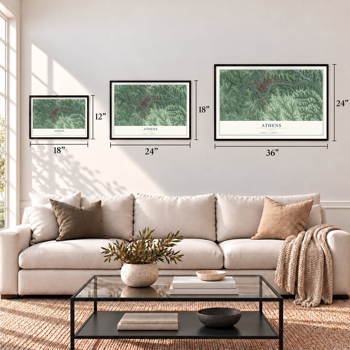
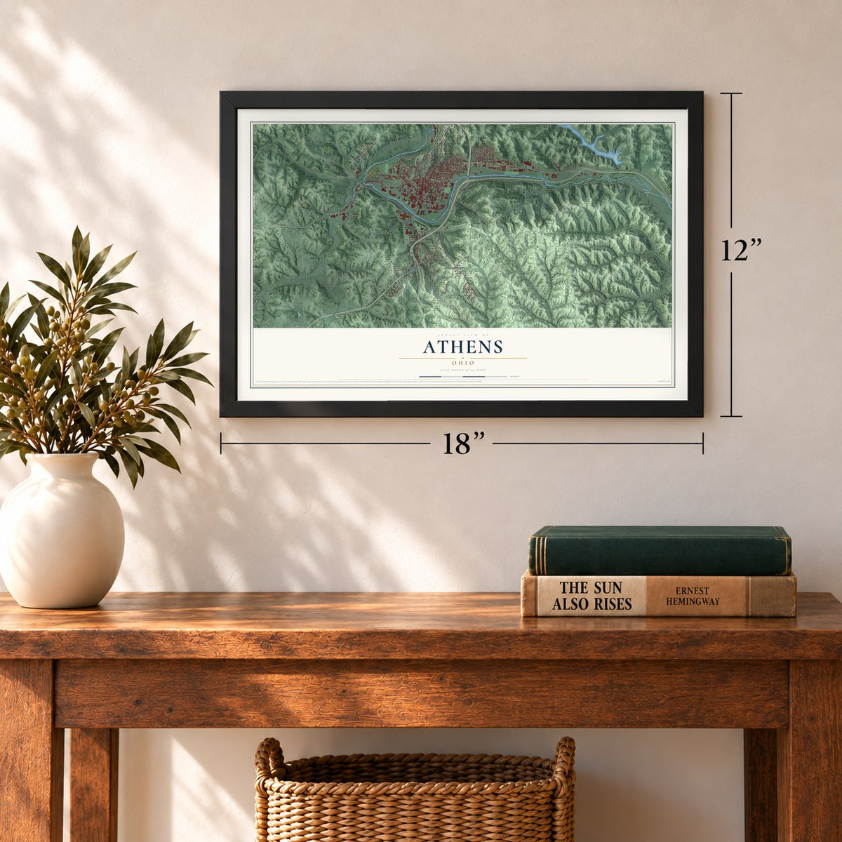
12" x 18" Archival Matte Print
A Map of Home. A Work of Art.
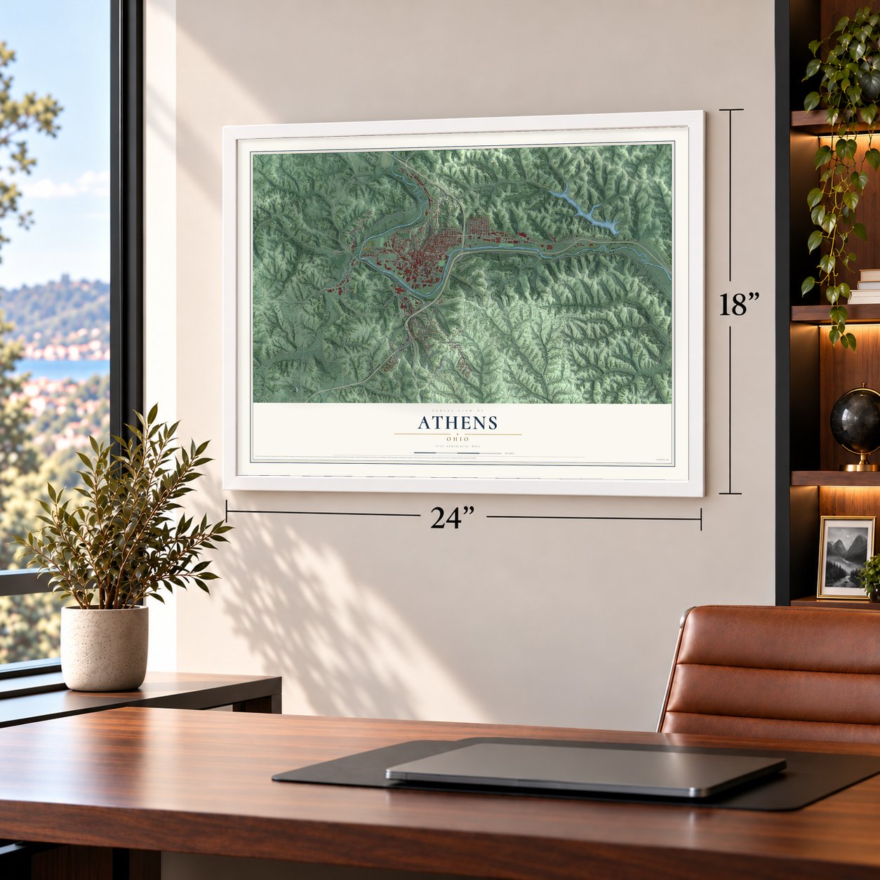
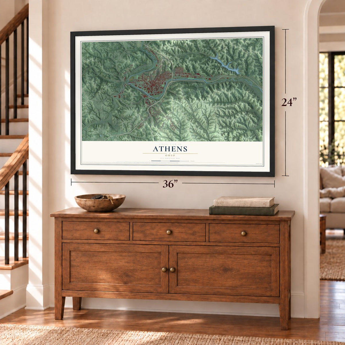
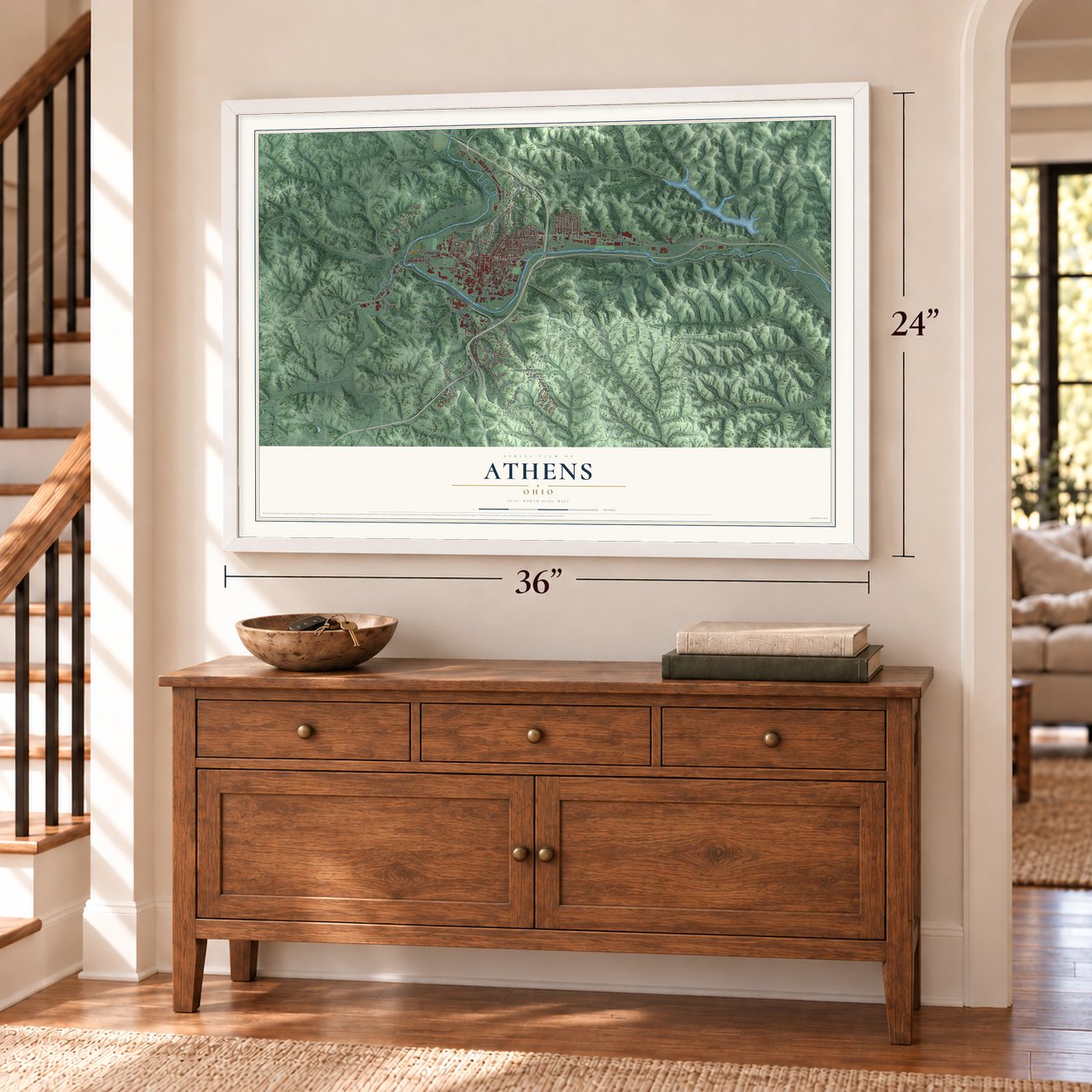
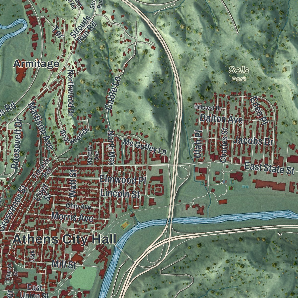
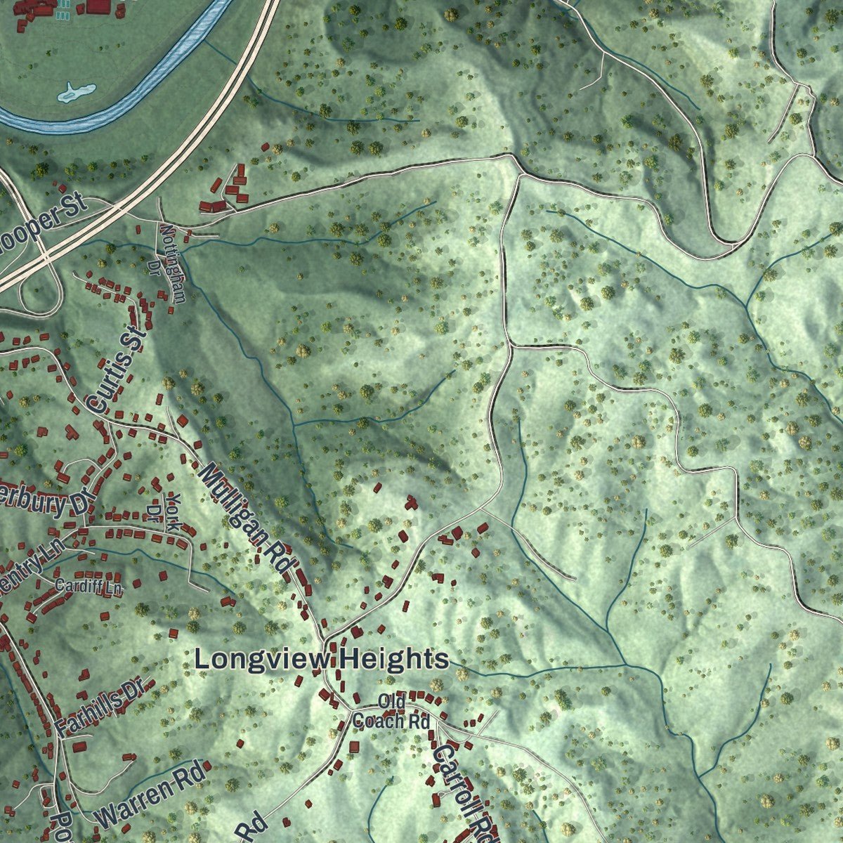
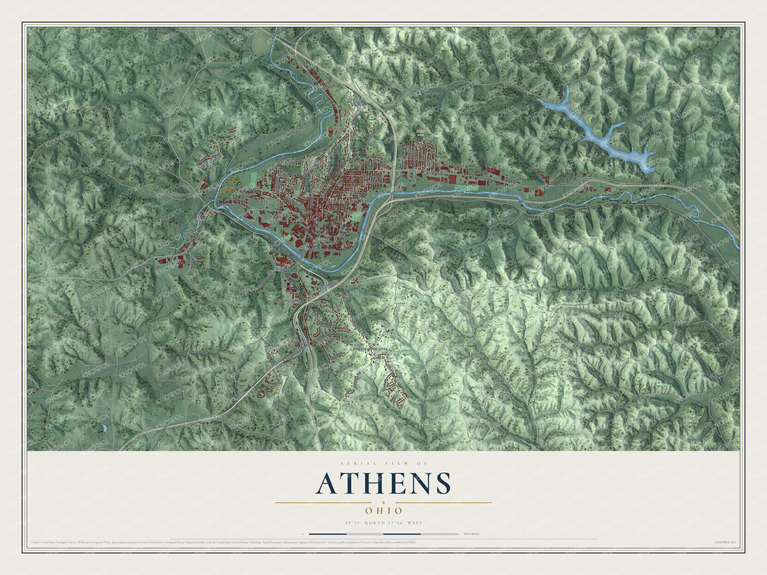
Explore Athens, Ohio from a whole new perspective. Created using aerial imagery and detailed geographic data, this map captures Athens building by building, with labeled streets, familiar landmarks, and shaded topographical relief that highlights the natural contours of the landscape.
Combining modern data with the timeless character of a vintage atlas, this map is just as interesting up close as it is beautiful on the wall. Whether you grew up in Athens, spent memorable years there, or call it home today, this unique map is a great way to celebrate a place that means something to you. Zoom in on the preview to look for your street, and then order a print to put your memories on the wall.
Three ways to hang it
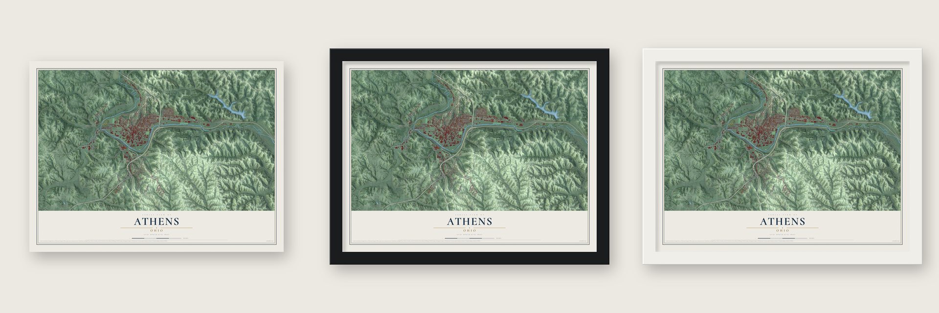
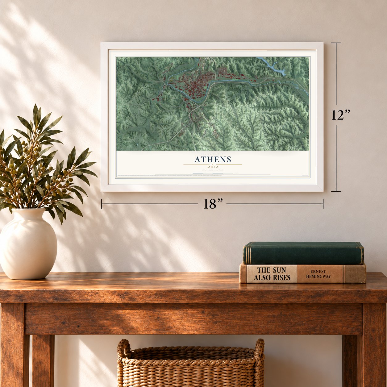
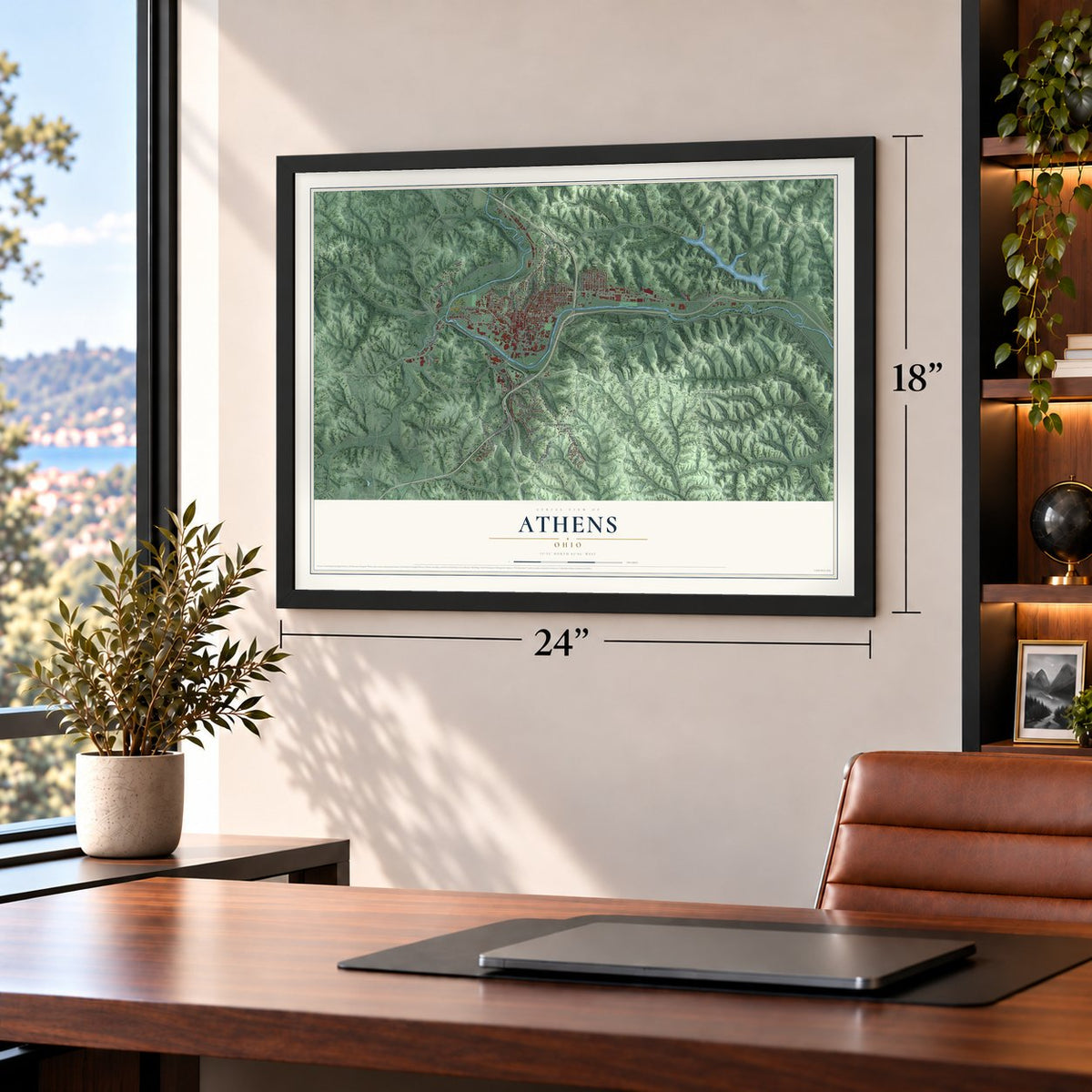
Unframed archival matte, a black wood frame or a white wood frame.
Up close
Geography Worth Displaying
This map was created using accurate cartographic data and authoritative geographic sources, including the U.S. Geological Survey and the Census Bureau. The map brings together terrain, waterways, roads, and building detail. The majority of the streets are labeled, houses are accurately depicted, and the topography is derived from government sources. Combining local data with carefully composed color and shading leads to this beautifully detailed Athens artwork for your wall.
Rather than simply showing street outlines, we’ve included as many of the street names as we could reasonably fit on the map while keeping their names legible. Zoom in on the high resolution preview to see exactly what’s on the map. We truly set out to create a statement piece for anyone who loves Athens. So whether it’s for you, or a gift for someone you love, we hope this map of Athens brings back fond memories.
Find your street
Names on the Athens map
Every name below is printed on this map. Look for your street, your school, the park where you played, or the pond down the road.
Places and landmarks7
- Athens City Hall
- Sells Park
- The Ridges
- Armitage
- Grosvenor
- La Mar Heights
- Longview Heights
Streets and roads104
- South Plains Road
- West Union Street
- Columbus Road
- Columbia Avenue
- West Washington Street
- Richland Avenue
- East Bentbrook Drive
- Blackburn Road
- North Blackburn Road
- Cable Lane
- Second Street
- South Shafer Street
- Circle Lane
- Carroll Road
- Roosevelt Drive
- North McKinley Drive
- East State Street
- Armitage Road
- Twp Highway 404
- Longview Heights Road
- Pomeroy Road
- West State Street
- Dairy Lane
- South Green Drive
- Mulligan Road
- Hooper Street
- Canterbury Drive
- Grosvenor Street
- Mill Street
- North Congress Street
Show all 104 streets
- Elmwood Place
- Morris Avenue
- Jacobs Drive
- Oxbow Trail
- Warren Road
- Eden Place
- Dalton Avenue
- University Terrace
- Madison Avenue
- Curtis Street
- Della Drive
- Utah Place
- Currier Street
- Lincoln Street
- First Street
- Watt Street
- Cook Drive
- Frum Road
- Sunset Drive
- Mound Street
- Hickory Street
- Dove Drive
- Hope Drive
- Terrace
- Dorr Lane
- Race
- Strouds Run Road
- South Court Street
- Elliotsville Road
- North May
- North Shafer Street
- Park Place
- Twp Highway 60
- University Estates Boulevard
- Coventry Lane
- Charles Street
- East Union Street
- Mc Guffey Lane
- Roxbury Drive
- Northwood Drive
- Altamont Drive
- Farhills Drive
- Depot Street
- Walnut Court
- Nelson Drive
- Dorr Road
- Lloyd Street
- Twp Highway 33
- Briarwood Drive
- Factory Street
- Old Coach Road
- Franklin Avenue
- Lamar Drive
- Herrold Avenue
- Ohio Avenue
- Andover Road
- York Drive
- Oak
- Strouds Run Drive
- North Court Street
- South Park Drive
- Fairview Avenue
- Kimes Lane
- Old Peach Ridge Road
- Hospital Drive
- Greenbrier Drive
- Nottingham Drive
- Church Street
- Cardiff Lane
- Jefferson
- Hillcrest Drive
- Marietta Avenue
- Atlantic Street
- Blick Avenue
Names are listed as they appear on the printed map. Zoom into the product photos to find them.
About Athens, Ohio
Athens is a city of 23,849 people and the seat of Athens County, set among the hills along the Hocking River in southeastern Ohio. The first permanent settlers came in 1797, and the town site was surveyed and laid out three years later, in 1800.
A college was planned here from the start. The territorial legislature voted in 1802 to create an "American Western University" at Athens, but no school by that name was ever founded. After statehood, Ohio's legislature chartered Ohio University on February 18, 1804, as the first college in the Northwest Territory, and it began teaching on June 1, 1809, with three students in its academy. Athens became a village in 1811 and a city in 1912, once the 1910 census counted more than 5,000 residents.
- Two townships for a collegeThrough its July 1787 contract with the Ohio Company of Associates, a group of Revolutionary War veterans, Congress reserved land in Athens and Alexander Townships for a school. No earlier federal grant went to a university, and it came more than 70 years before the Morrill Act. The university first leased the land, but so many tenants skipped their rent that most of it was sold, and the sales funded the school's growth. Its first degrees came in 1815.
- Canal boats, then trainsSalt making was the area's first industry, followed by iron and then coal. The Hocking Canal opened in 1843, so boats could travel from the Ohio River up the Hocking through Athens to Nelsonville, though ice closed it in cold winters. The first railroad reached Athens in 1857.
- The asylum on the ridgeThe Athens Lunatic Asylum opened in 1874 on high ground south of the Hocking River, and in the late 19th century it employed more people than anything else in town. Renamed the Athens State Hospital, it was later closed and deeded to Ohio University. Today it is The Ridges, with offices, research space and open land that includes a land lab. The hospital's cow barn joined the National Register in 1978.
- Gunfire on Washington StreetIn 1904 regular U.S. Army troops and Ohio National Guard units trained together near Athens. Guard provosts locked up several regular soldiers who had gotten drunk and made trouble. On a Friday, a large armed party of regulars marched out of camp to set one of them free. Provosts blocked their way, the quarrel became a gun battle on Washington Street, and one guardsman died while five others were wounded.
- Moving the river in 1969Much of the town and the campus sit on the Hocking's floodplain. Bad floods struck in 1832 and 1873, then in 1907 and 1937, and again in 1949, 1964 and 1968. After that last flood, the Army Corps of Engineers cut a new channel, completed in 1969, which moved 5.5 miles of the river hundreds of feet south of where it had run.
Keep exploring Ohio
Athens is one of 1,389 Ohio towns we've mapped. Every dot on the map is a print of its own.
The search covers every state, Ohio first.
Near Athens
Order 2 or more town maps and save 10%. Shown in the size and finish you picked above, so they hang as a set.
- The Plains 12" x 18" / Archival Matte Print $39.99
- Chauncey 12" x 18" / Archival Matte Print $39.99
- New Marshfield 12" x 18" / Archival Matte Print $39.99
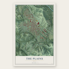

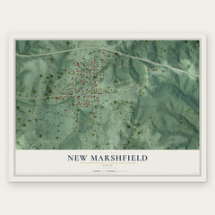
More maps nearby: Millfield, Albany, Amesville, Jacksonville and Buchtel.
The art of mapping a place
How This Map Was Made
Real places. Remarkable detail. Discover the layers that turn geographic data into a map of home.

The view from above
Aerial imagery reveals the character of the land: woodland, open fields, and the patterns of a place.

The shape of the land
Elevation data brings hills, valleys, and subtle changes in the landscape into view.

The details of home
Roads, waterways, and building footprints come together to make the map feel unmistakably local.

Geography becomes art
Considered color, shading, and typography bring the layers together in a map made for your wall.


Process illustrated with Mendon, Massachusetts. Aerial imagery: USDA NAIP. Terrain: USGS 3D Elevation Program. Map details and finished artwork: KNOWOL.
The Details
About This Print
Choose an archival matte print, or a black or white Ayous wood frame. The archival matte print is unframed.
Select your size and finish above to see the matching product image and price.
Materials & Craftsmanship
A contemporary map with the character of a classic atlas, printed on archival matte paper. Optional frames are made from Ayous wood.
Your printed map does not include the watermark shown in the full-map preview.
Shipping & Delivery
Free shipping within the United States. Every print is made to order in the USA.
Buying a gift? Add a note in your cart and we'll include it. We never put prices in the package.
Prints ship within 2 to 3 business days. Allow 7 to 10 days total from ordering for delivery. Timing may vary during holidays or periods of high order volume.
Read our shipping policy.
Returns and damaged prints
Each print is made to order. Change-of-mind refunds are not available after production.
If your print arrives damaged, misprinted or incorrect, contact support@knowol.com within 30 days of receiving it. Include your order number, photos and a description of the issue.
Read our full refund and replacement policy. For questions about your order, email support@knowol.com.