
Search for another town


Free U.S. delivery 7 to 10 days after you order
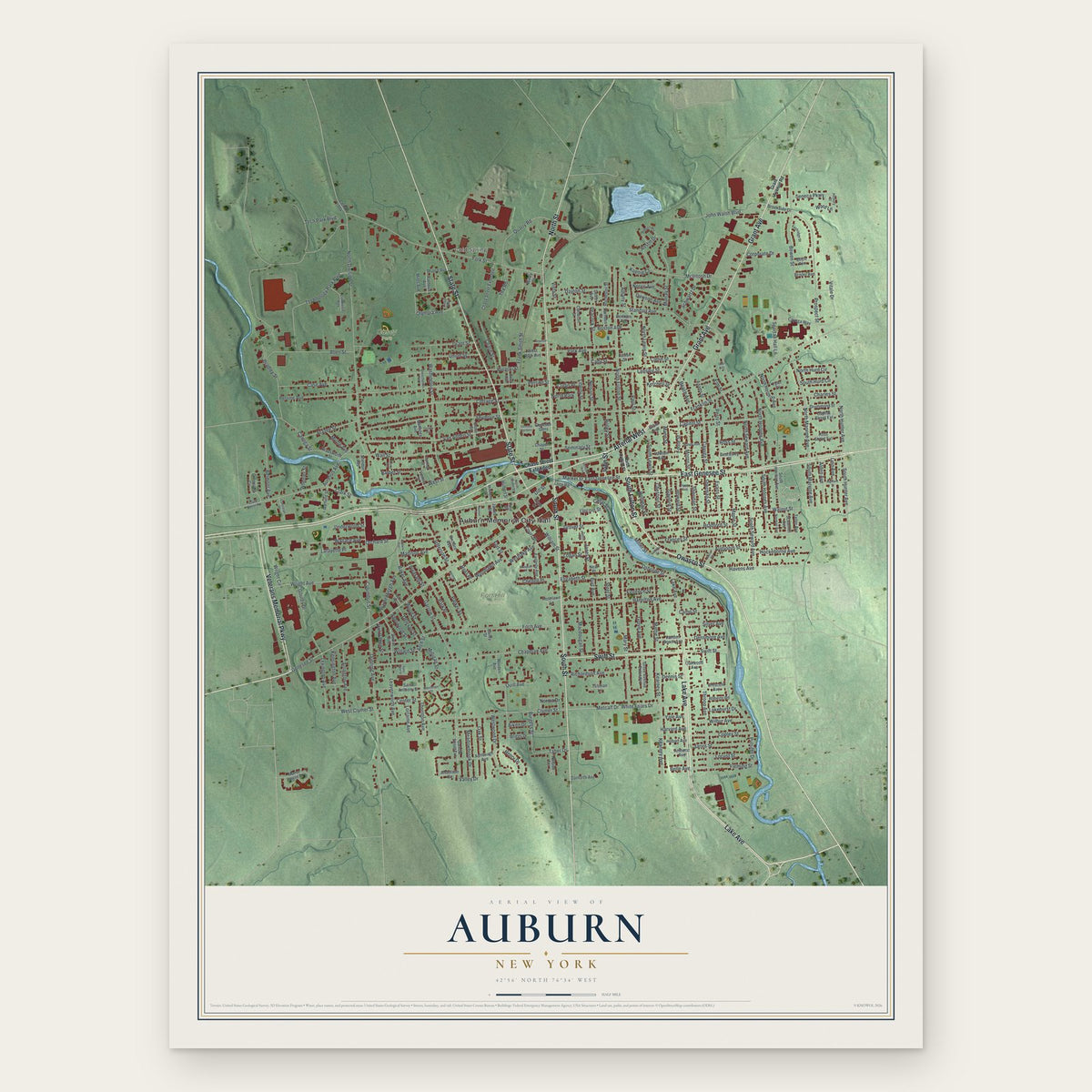
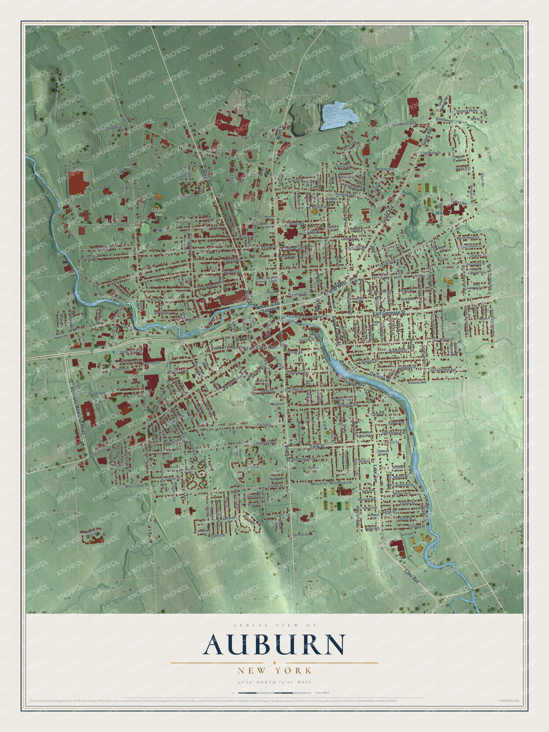
Auburn, New York Map Art
Building by building, with labeled streets and shaded relief.
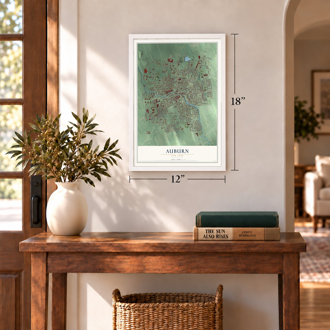
12" x 18" Archival Matte Print
A Map of Home. A Work of Art.
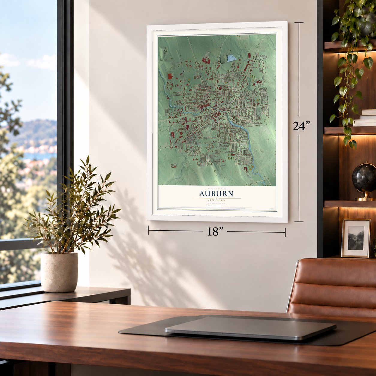
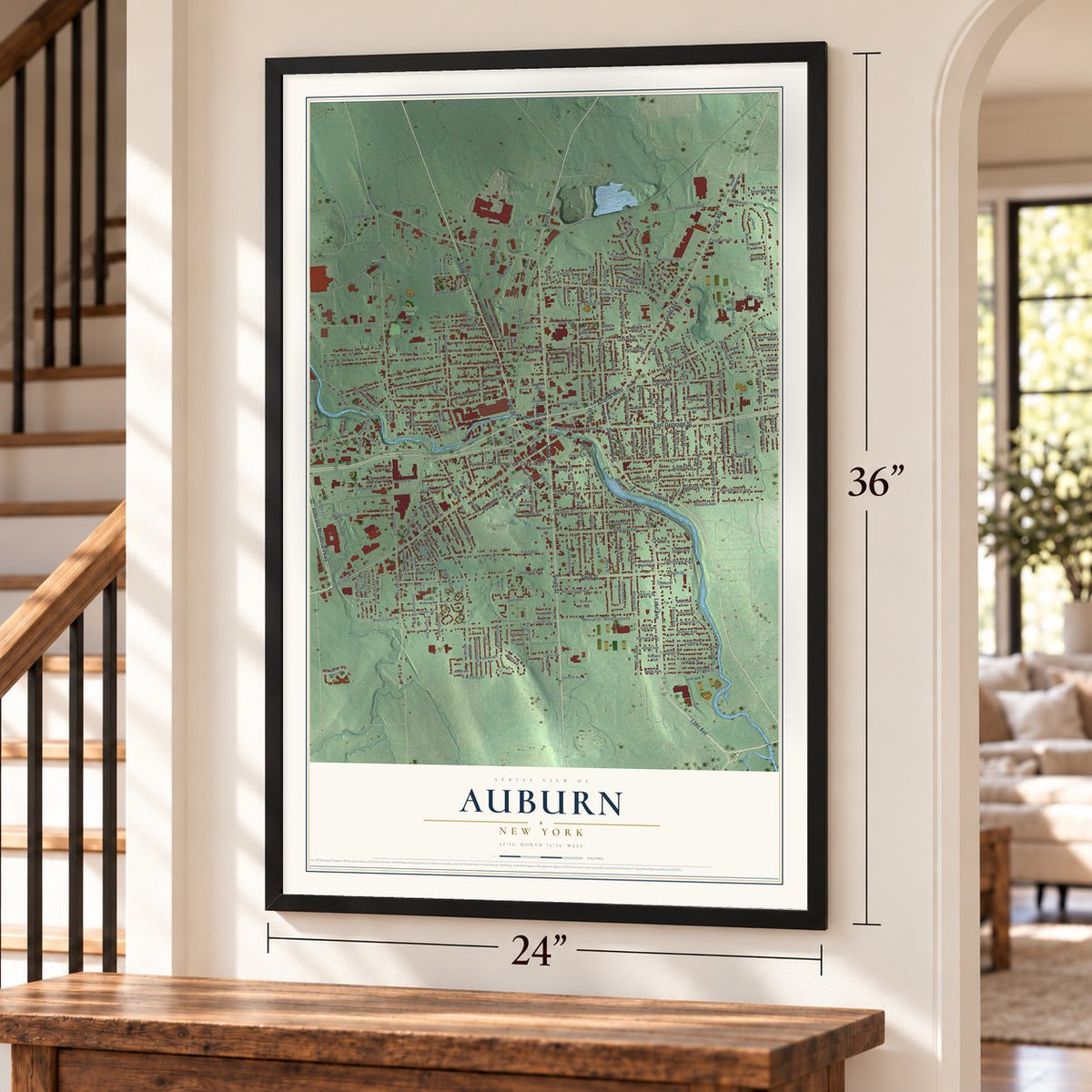
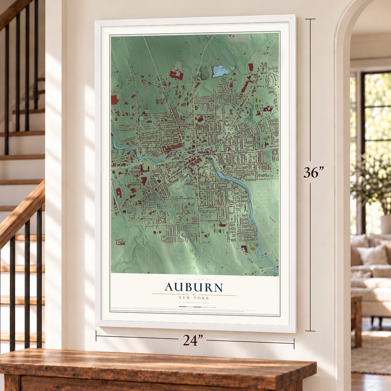
Explore Auburn, New York from a whole new perspective. Created using aerial imagery and detailed geographic data, this map captures Auburn building by building, with labeled streets, familiar landmarks, and shaded topographical relief that highlights the natural contours of the landscape.
Combining modern data with the timeless character of a vintage atlas, this map is just as interesting up close as it is beautiful on the wall. Whether you grew up in Auburn, spent memorable years there, or call it home today, this unique map is a great way to celebrate a place that means something to you. Zoom in on the preview to look for your street, and then order a print to put your memories on the wall.
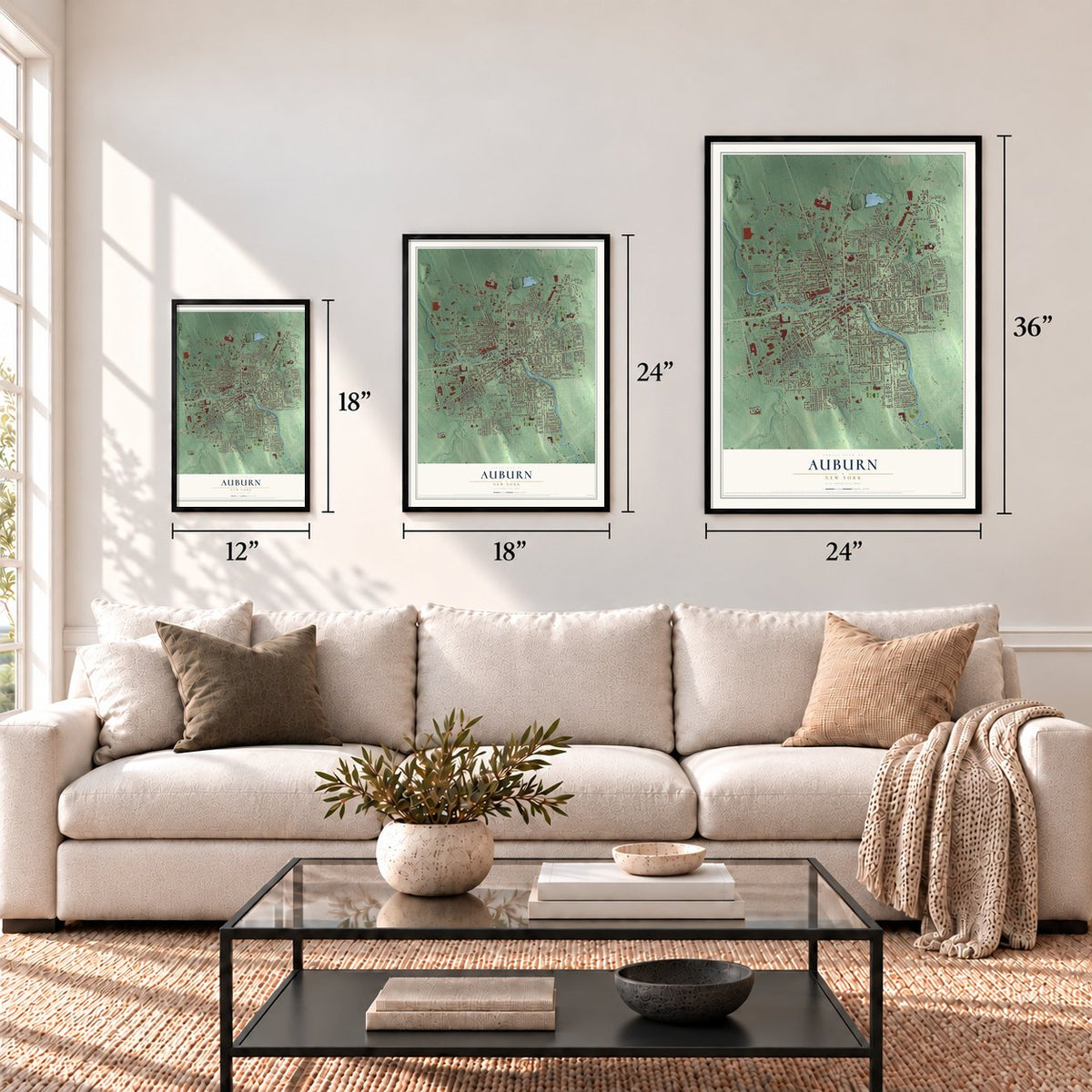
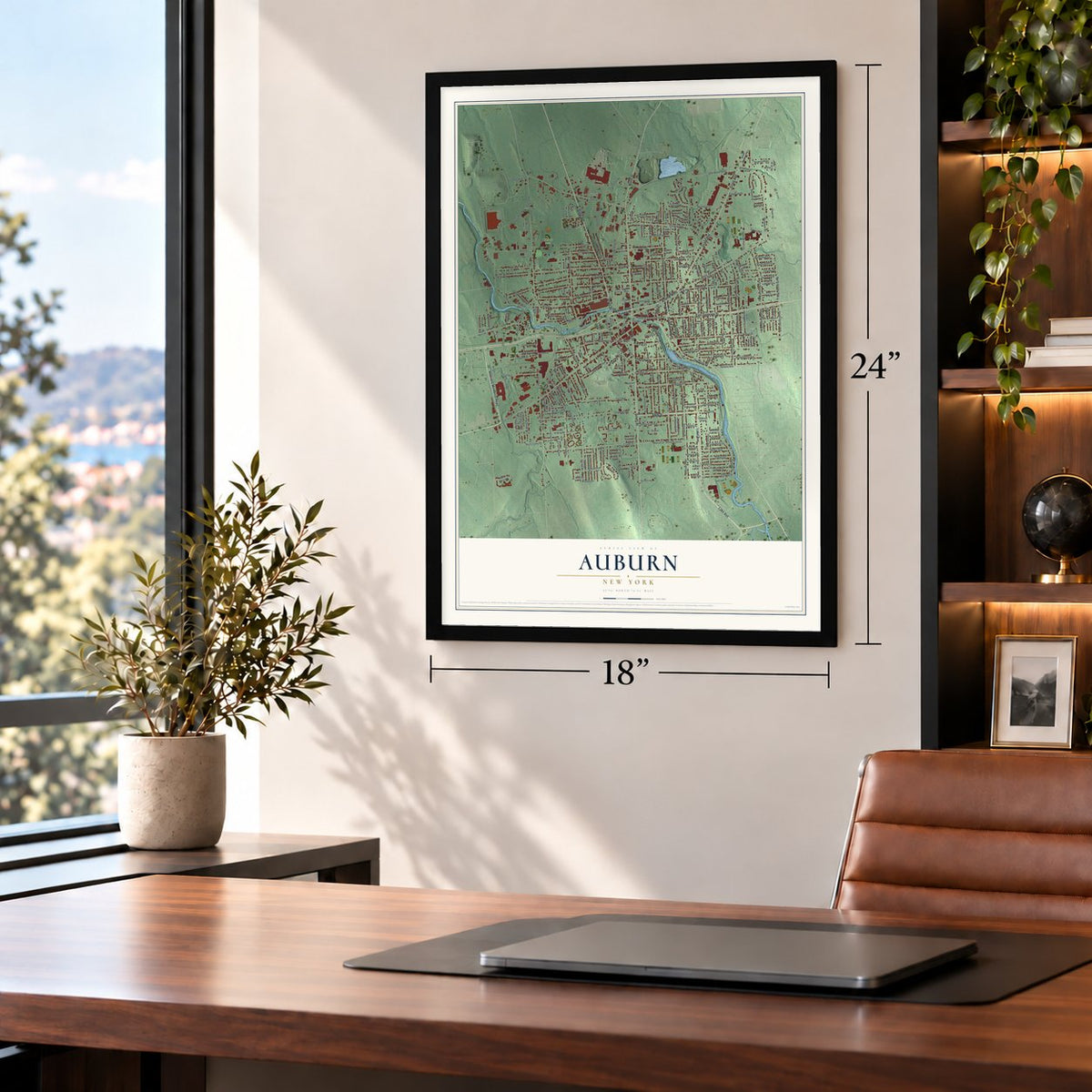
Three ways to hang it
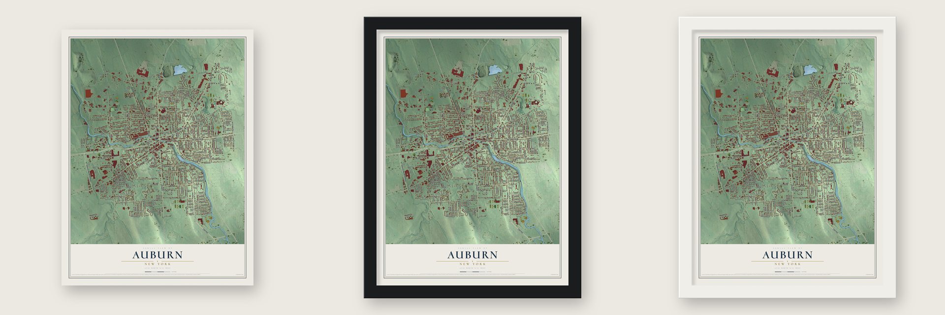
Unframed archival matte, a black wood frame or a white wood frame.
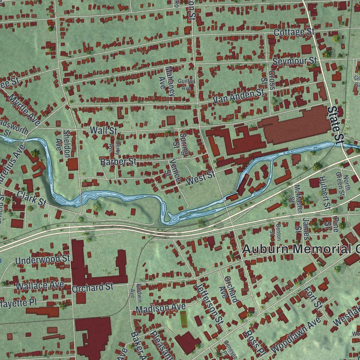
Up close
Geography Worth Displaying
This map was created using accurate cartographic data and authoritative geographic sources, including the U.S. Geological Survey (USGS) and FEMA. The map brings together terrain, waterways, roads, and building detail. The majority of the streets are labeled, houses are accurately depicted, and the topography is derived from government sources. Combining local data with carefully composed color and shading leads to this beautifully detailed Auburn artwork for your wall.
Rather than simply showing street outlines, we’ve included as many of the street names as we could reasonably fit on the map while keeping their names legible. Zoom in on the high resolution preview to see exactly what’s on the map. We truly set out to create a statement piece for anyone who loves Auburn. So whether it’s for you, or a gift for someone you love, we hope this map of Auburn brings back fond memories.
Explore the full map of Auburn, New York and read about the local places it shows.
Find your street
Names on the Auburn map
Every name below is printed on this map. Look for your street, your school, the park where you played, or the pond down the road.
Places and landmarks6
- Auburn Memorial City Hall
- Cold Spring
- Casey Park
- Fort Hill Cemetery
- Hoopes Park
- North Park
Streets and roads303
- East Genesee Street
- South Fulton Street
- Lake Avenue
- Veterans Memorial Parkway
- Grant Avenue
- Owasco Street
- John Street
- State Street
- North Street
- South Street
- Swift Street
- Arterial West
- Walnut Street
- Osborne Street
- Genesee Street
- South Marvine Avenue
- North Seward Avenue
- North Marvine Avenue
- Havens Avenue
- Dill Street
- Franklin Street
- South Hunter Avenue
- North Hunter Avenue
- Columbus Street
- Dunning Avenue
- North Herman Avenue
- Arch Street
- Westlake Avenue
- North Division Street
- Seymour Street
Show all 303 streets
- Clark Street
- Washington Street
- York Street
- Cottage Street
- Perrine Street
- Chapman Avenue
- Clymer Street
- North Fulton Street
- Prospect Street
- Throop Avenue
- Garrow Street
- Standart Avenue
- Wall Street
- Mary Street
- Frances Street
- Hamilton Avenue
- Van Anden Street
- Pulaski Street
- Lansing Street
- Orchard Street
- Steel Street
- North Lewis Street
- Pulsifer Drive
- Technology Park Boulevard
- Fitch Avenue
- Quill Avenue
- Capitol Street
- Kearney Avenue
- Kearney Street
- Metcalf Drive
- McIntosh Drive
- Grove Avenue
- Elizabeth Street
- Wright Avenue
- South Seward Avenue
- Allen Street
- Nelson Street
- Olympia Avenue
- John Walsh Boulevard
- White Friars Drive
- North Hoopes Avenue
- Bradford Street
- Thornton Avenue
- Murray Street
- Quarry Road
- Union Street
- West Street
- Mattie Street
- Burt Avenue
- Lexington Avenue
- Case Avenue
- Perrine Avenue
- Holley Street
- Perry Street
- Lafayette Place
- Schwartz Drive
- Ross Street
- Arlington Avenue
- Park Avenue
- Cayuga Street
- Canoga Street
- Bradley Street
- Augustus Street
- Miller Street
- Wallace Avenue
- South Hoopes Avenue
- Logan Street
- Lincoln Street
- Westwood Drive
- Maple Street
- Charles Street
- Bowen Street
- Woodlawn Avenue
- Grant Street
- Kensington Avenue
- Oak Street
- Aurelius Avenue
- Jarvis Street
- Copley Street
- Fleming Street
- Dayton Street
- Locust Street
- Richardson Avenue
- Parker Street
- Jefferson Street
- Barber Street
- Baker Avenue
- Elm Street
- Frazee Street
- Wilbur Avenue
- Leavenworth Avenue
- Hockeborne Avenue
- Underwood Street
- Belmont Avenue
- Seminary Street
- Hardenbergh Avenue
- Macdougall Street
- Grover Street
- Park Place
- Howard Street
- Chase Street
- West Clymer Street
- Morris Street
- Meadowbrook Drive
- Austin Drive
- Center Street
- Vitale Drive
- Linn Avenue
- William Street
- Wright Circle
- Silver Avenue
- Alden Avenue
- Chedell Place
- South Lewis Street
- Catlin Street
- Peacock Street
- Madison Avenue
- Densmore Avenue
- Delevan Street
- Spartan Hall Lane
- North Hurd Circle
- Foote Street
- Seneca Parkway
- Hoffman Street
- Chestnut Street
- Gaylord Street
- Sheridan Street
- Sherman Street
- Evans Street
- Norma Drive
- Burgess Street
- Liberty Street
- Camp Street
- Henry Drive
- Wood Street
- Willard Street
- Paul Street
- Frank Smith Street
- Lorraine Avenue
- Corporate Drive
- Taber Drive
- Pleasant Street
- Milligan Street
- Beach Avenue
- Tech Park Boulevard
- Norris Avenue
- Janet Street
- Dawson Avenue
- South Hurd Circle
- Sherwood Street
- Boston Avenue
- Lakehurst Drive
- Goulds Drive
- Tire Road
- Curtis Place
- Florence Street
- Van Patten Street
- Myrtle Avenue
- Mann Street
- Market Street
- Harvard Avenue
- Dennis Street
- Court Street
- Albany Street
- Cady Street
- Yale Avenue
- Ketchell Street
- Wheeler Street
- Vista Street
- Fort Street
- Koenig Court
- Aiken Drive
- Valley Drive
- Canal Street
- Ross Place
- Belle Avenue
- Ward Lane
- Chase Street Extended
- Loop Road
- Manor House Drive
- Garrow Street Extension
- County Route 104
- Drummond Street
- Greenview Circle
- Genesee Gdns
- Grove Avenue Extended
- Anderson Circle
- Saint Anthony Street
- Cross Street
- Crescent Avenue
- Wadsworth Street
- South Herman Avenue
- Cayuga Way
- Danforth Avenue
- Hulbert Street
- Easterly Avenue
- Ashbaugh Avenue
- Ross Street Extension
- Capitol Street Extension
- Dexter Avenue
- James Street
- Orchard Avenue
- Hillside Terrace
- Venice Street
- Beardsley Street
- Hobart Avenue
- Vanden Bosch Avenue
- Teller Avenue
- Rochester Street
- Tyler Drive
- Briggs Drive
- Brookside Drive
- Lawton Avenue
- Roberts Road
- Scammel Avenue
- Adams Street
- West Park Avenue
- Garfield Street
- Boyle Avenue
- Rathbun Avenue
- Benham Avenue
- Cameron Street
- Worden Avenue
- Brister Avenue
- Mahaney Avenue
- Miles Avenue
- Munro Avenue
- Harnden Street
- Oakwood Avenue
- Roselawn Lane
- Tubman Lane
- Amherst Avenue
- Chapel Street
- Devon Avenue
- Spring Street
- Sheldon Avenue
- Willey Street
- Rock Avenue
- Button Street
- Bailey Street
- Near Place
- Pine Street
- Grant Avenue Road
- Tuxill Square
- Auburn Heights
- Commerce Way
- Anna Street
- Bundy Avenue
- Norman Avenue
- Eastridge Street
- Hickory Street
- Shevchenko Avenue
- McMaster Street
- Merriman Street
- Corcoran Drive
- North Green Street
- Pimm Avenue
- Clark Street Road
- Lizette Street
- Genesee Gardens
- Highland Street
- Seminary Avenue
- Brogan Manor
- Derby Avenue
- Pearce Avenue
- Woodruff Place
- Benton Street
- Guilfoil Avenue
- Baldwin Avenue
- Genesee Place
- Carpenter Street
- Saint John Street
- Glen Avenue
Names are listed as they appear on the printed map. Zoom into the product photos to find them.
About Auburn, New York
Auburn is a city of 26,866 people at the north end of Owasco Lake, and it is the seat of Cayuga County. John L. Hardenbergh, who had marched against the Iroquois with the Sullivan-Clinton campaign of the Revolution, founded it in 1793. He brought his baby daughter and two indentured servants, Harry and Kate Freeman, who were African American, to the banks of the Owasco River, and a settlement grew up around his gristmill and sawmill.
Early on, the settlement went by Hardenbergh's Corners and belonged to Aurelius. It was renamed Auburn in 1805, the year it was made the county seat. It was incorporated as a village in 1815 and chartered as a city in 1848. The Erie Canal opened a few miles away in 1825 and gave local factories a cheap way to ship their goods. In 1871 the Southern Central Railroad finished a line that hauled anthracite coal from Athens, Pennsylvania, through Auburn to Lake Ontario at Fair Haven.
- Auburn Prison, 1816Auburn Prison opened in 1816 as a model of new ideas about treating prisoners, and its methods became known as the Auburn system. Visitors once paid a fee to tour it and view the inmates. The first execution by electric chair happened there on August 6, 1890, and Leon Czolgosz, President William McKinley's assassin, was executed there in 1901. The Auburn system was later abandoned, but the prison is still in use, now at maximum security.
- An unaltered Tiffany chapelAuburn Theological Seminary, a Presbyterian school, opened in 1818 and grew into one of the nation's leading seminaries. Money troubles in the Great Depression sent it to Union Theological Seminary in New York City in 1939. It left behind two Nelson Street buildings by Rochester architect Andrew Jackson Warner, Willard Memorial Chapel and Welch Memorial Hall. Louis Comfort Tiffany made the stained glass and decorated the interior, the only full Tiffany chapel interior known to survive unaltered.
- Seward and TubmanWilliam H. Seward lived in Auburn from 1823 until he died in 1872. He was governor, U.S. senator and Secretary of State under Lincoln and Johnson, and arranged the 1867 purchase of Alaska from Russia. In the 1850s he and his wife, Frances, a committed abolitionist, hid people fleeing slavery in their home. In 1859 he sold land to Harriet Tubman, who made it a refuge for family, friends and other Black Americans. His home is now a museum.
- Headquarters of the minor leaguesLate in 1901, the National Association of Professional Baseball Leagues, the body now known as Minor League Baseball, made Auburn its headquarters. Its offices stayed in the city as long as John H. Farrell, a local man, kept his post as the league's secretary-treasurer, a job he held for many years.
- The Great Race since 1978Every August since 1978, on the second Sunday of the month, teams of three or four have raced near Owasco Lake by running, cycling and paddling a canoe or kayak. The course starts and finishes on the city's southern edge. Between 2,000 and 2,500 people take part in a typical year, making it one of the biggest relay races in the country.
Keep exploring New York
Auburn is one of 2,165 New York towns we've mapped. Every dot on the map is a print of its own.
The search covers every state, New York first.
Near Auburn
Order 2 or more town maps and save 10%. Shown in the size and finish you picked above, so they hang as a set.
- Melrose Park 12" x 18" / Archival Matte Print $39.99
- Sennett 12" x 18" / Archival Matte Print $39.99
- Fleming 12" x 18" / Archival Matte Print $39.99
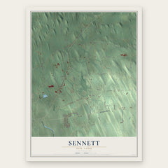

More maps nearby: Throop, Owasco, Aurelius, Village of Skaneateles and Port Byron.
The art of mapping a place
How This Map Was Made
Real places. Remarkable detail. Discover the layers that turn geographic data into a map of home.

The view from above
Aerial imagery reveals the character of the land: woodland, open fields, and the patterns of a place.

The shape of the land
Elevation data brings hills, valleys, and subtle changes in the landscape into view.

The details of home
Roads, waterways, and building footprints come together to make the map feel unmistakably local.

Geography becomes art
Considered color, shading, and typography bring the layers together in a map made for your wall.


Process illustrated with Mendon, Massachusetts. Aerial imagery: USDA NAIP. Terrain: USGS 3D Elevation Program. Map details and finished artwork: KNOWOL.
The Details
About This Print
Choose an archival matte print, or a black or white Ayous wood frame. The archival matte print is unframed.
Select your size and finish above to see the matching product image and price.
Materials & Craftsmanship
A contemporary map with the character of a classic atlas, printed on archival matte paper. Optional frames are made from Ayous wood.
Your printed map does not include the watermark shown in the full-map preview.
Shipping & Delivery
Free shipping within the United States. Every print is made to order in the USA.
Buying a gift? Add a note in your cart and we'll include it. We never put prices in the package.
Prints ship within 2 to 3 business days. Allow 7 to 10 days total from ordering for delivery. Timing may vary during holidays or periods of high order volume.
Read our shipping policy.
Returns and damaged prints
Each print is made to order. Change-of-mind refunds are not available after production.
If your print arrives damaged, misprinted or incorrect, contact support@knowol.com within 30 days of receiving it. Include your order number, photos and a description of the issue.
Read our full refund and replacement policy. For questions about your order, email support@knowol.com.