
Search for another town





Free U.S. delivery 7 to 10 days after you order
Aurora, Colorado Map Art
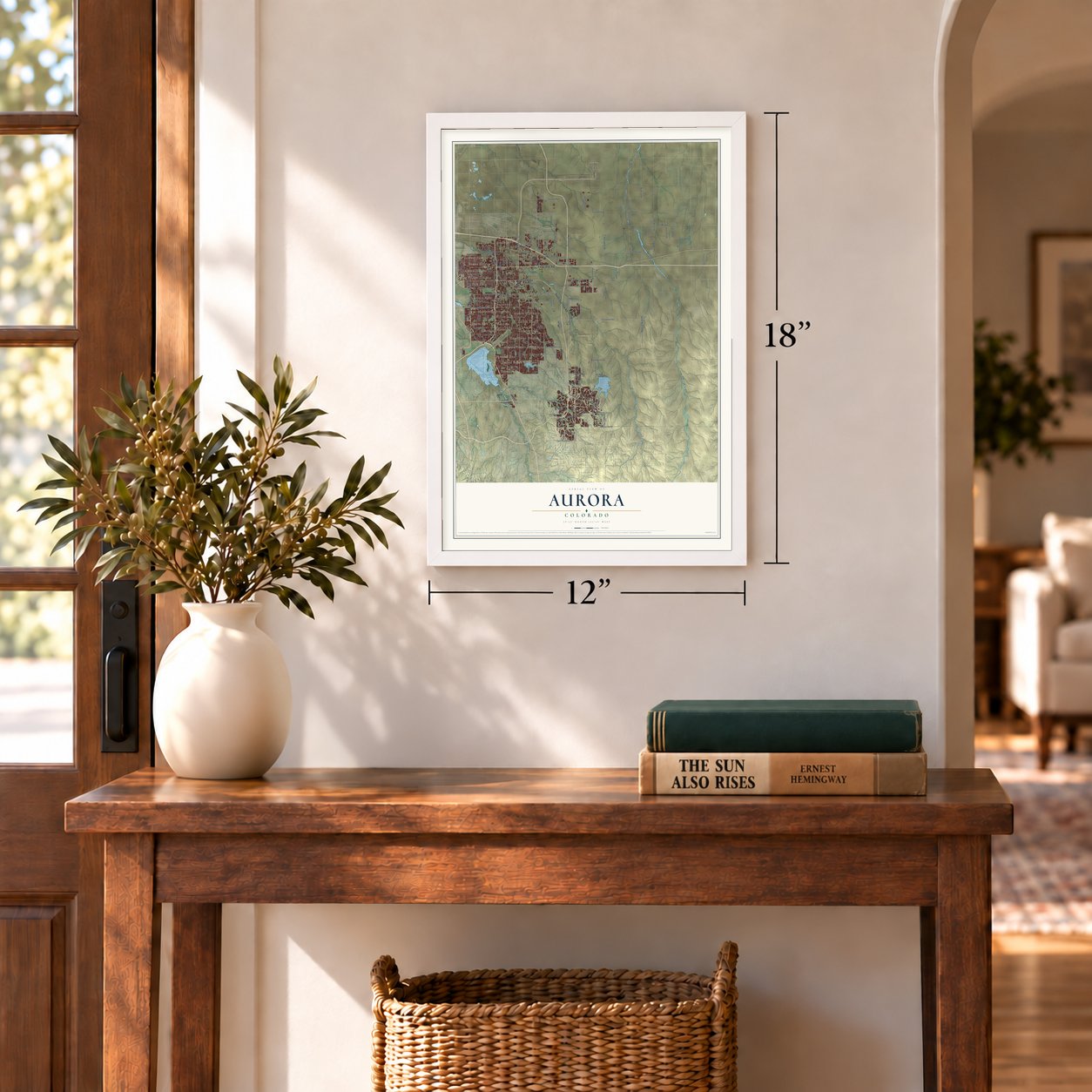
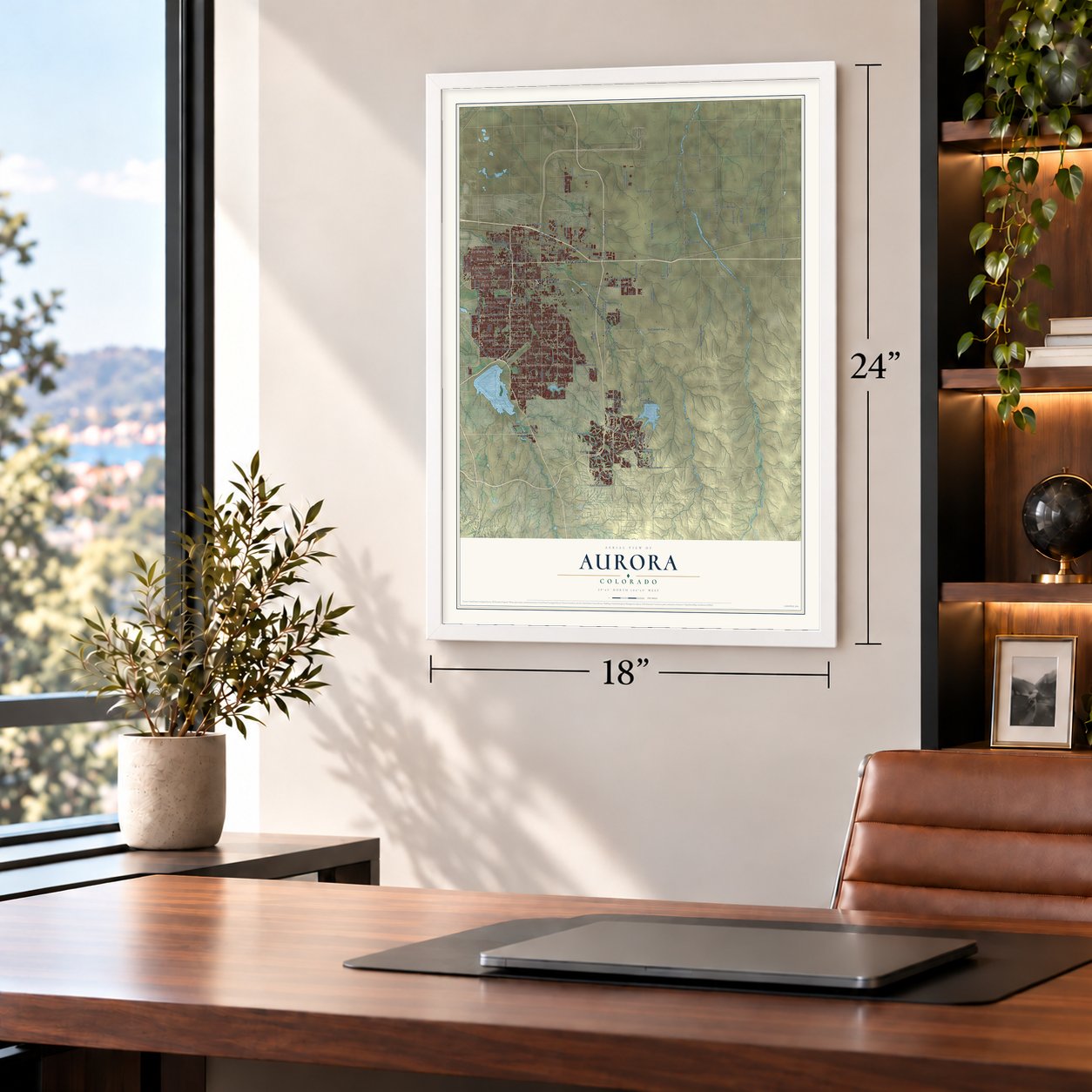
A new map of Aurora, Colorado, made in 2026 and printed to order on thick archival matte paper.
12" x 18" Archival Matte Print
A Map of Home. A Work of Art.
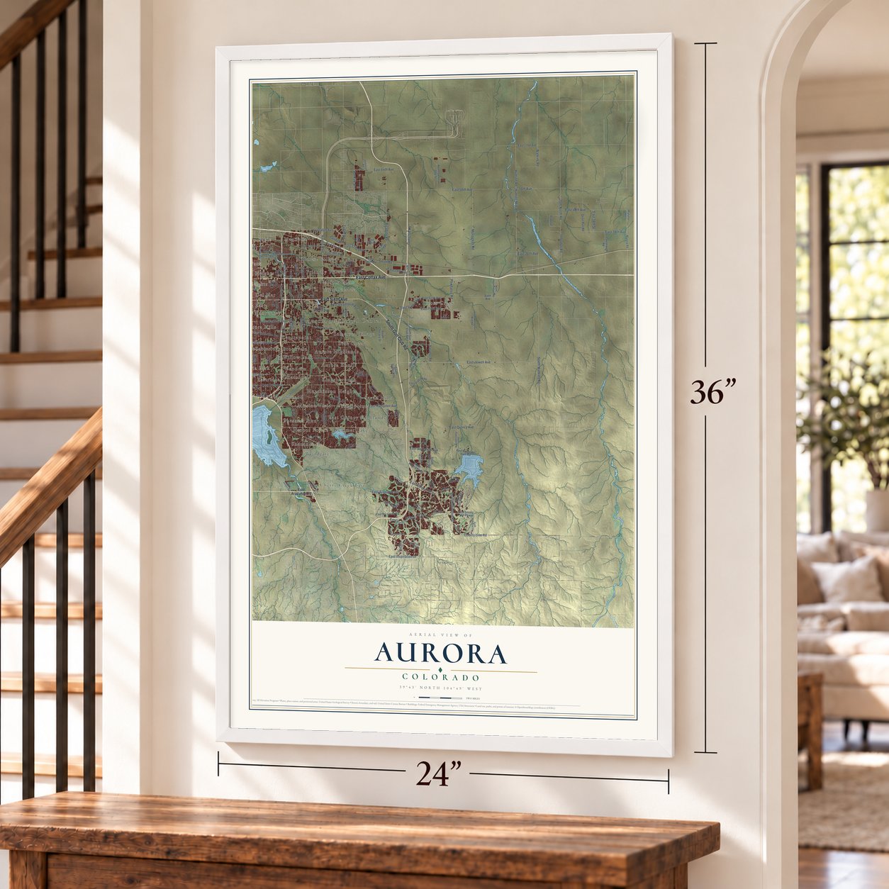
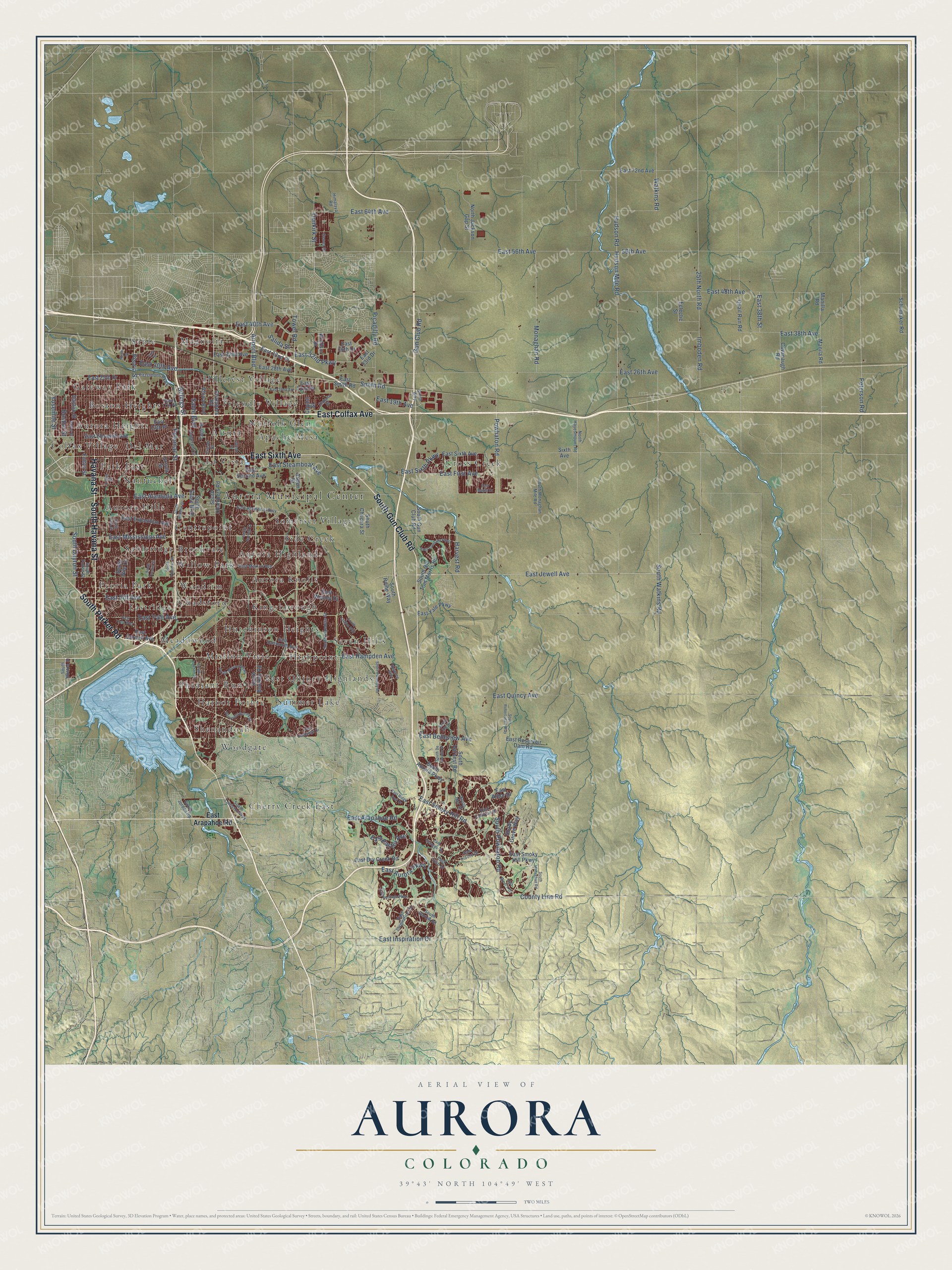
Explore Aurora, Colorado from a whole new perspective. Created using aerial imagery and detailed geographic data, this map captures Aurora building by building, with labeled streets, familiar landmarks, and shaded topographical relief that highlights the natural contours of the landscape.
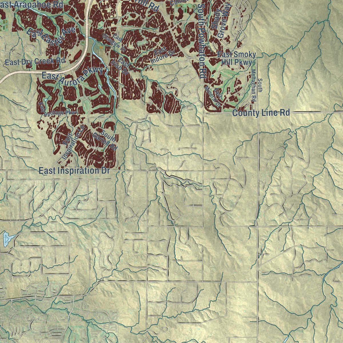
Combining modern data with the timeless character of a vintage atlas, this map is just as interesting up close as it is beautiful on the wall. Whether you grew up in Aurora, spent memorable years there, or call it home today, this unique map is a great way to celebrate a place that means something to you. Zoom in on the preview to look for your street, and then order a print to put your memories on the wall.
Three ways to hang it
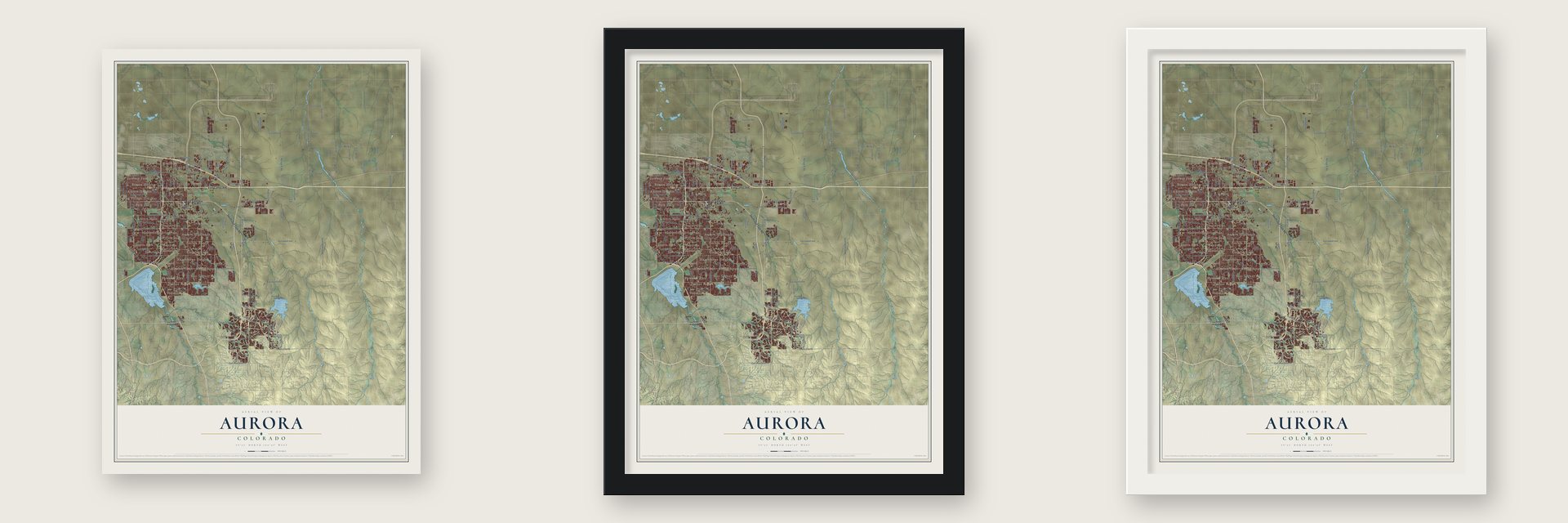
Unframed archival matte, a black wood frame or a white wood frame.
Up close
Geography Worth Displaying
This map was created using accurate cartographic data and authoritative geographic sources, including the U.S. Geological Survey and the Census Bureau. The map brings together terrain, waterways, roads, and building detail. The majority of the streets are labeled, houses are accurately depicted, and the topography is derived from government sources. Combining local data with carefully composed color and shading leads to this beautifully detailed Aurora artwork for your wall.
Rather than simply showing street outlines, we’ve included as many of the street names as we could reasonably fit on the map while keeping their names legible. Zoom in on the high resolution preview to see exactly what’s on the map. We truly set out to create a statement piece for anyone who loves Aurora. So whether it’s for you, or a gift for someone you love, we hope this map of Aurora brings back fond memories.
Read the story behind this map of Aurora, Colorado from 2026.

About Aurora, Colorado
Aurora is a city of 386,261 people spread across Arapahoe, Adams and Douglas counties. It began in 1890 as Fletcher, a real estate venture named for the Denver businessman Donald Fletcher, who with his partners marked off four square miles east of Denver. The Silver Crash of 1893 hit the young town and all of Colorado hard, but Fletcher was incorporated on May 5, 1903.
Donald Fletcher then left town and stuck the community with a heavy water debt. In 1907 voters dropped his name and chose Aurora, taken from one of the subdivisions that made up the town, and the Aurora post office opened on January 15, 1908. The town passed 2,000 people by February 1928 and became a city on March 9 of that year. It grew slowly beside Denver at first, then became the fastest-growing city in the nation in the late 1970s and early 1980s.
- Presidents at FitzsimonsArmy General Hospital #21 opened here in 1918 and was later renamed Fitzsimons Army Hospital. The government enlarged it in 1941, in time to treat the wounded of World War II. Warren G. Harding visited in 1923 and Franklin D. Roosevelt in 1936, John Kerry was born there in 1943, and Dwight D. Eisenhower spent seven weeks recovering from a heart attack there in the fall of 1955. After it closed in 1999, the grounds became the Anschutz Medical Campus.
- The Air Force Academy's first homeLowry Air Force Base opened in 1938 on the line between Aurora and Denver. While the permanent Air Force Academy was being built north of Colorado Springs, part of Lowry served as the school for its first three classes of cadets. The Commandant of Cadets Building joined the National Register in 2007. The base closed in 1994 and was rebuilt as a planned community of homes, businesses and schools.
- A first for women in 1965Norma O. Walker became mayor of Aurora in 1965. No woman had led an American city of more than 60,000 people before her.
- The theme park that became ArgoIn 1979 promoters announced a science fiction theme park for Aurora, to be built from the sets of a $50 million film of the novel Lord of Light. Legal trouble stopped the project, and the park was never finished. The unmade film's script, retitled Argo, was then used as the cover story in the Canadian Caper, which brought six U.S. diplomatic staff out of Iran during the hostage crisis.
- A papal Mass in 1993Pope John Paul II celebrated Mass at Cherry Creek State Park, on Aurora's southwestern edge, during World Youth Day in 1993. An estimated 500,000 people came.
Find your street
Names on the Aurora map
Every name below is printed on this map. Look for your street, your school, the park where you played, or the pond down the road.
Places and landmarks43
- Aurora Municipal Center
- Altura
- Apache Mesa
- Aurora Heights
- Aurora Highlands
- Aurora Hills
- Aurora Knolls
- Boston Heights
- Brookvale
- Centrepoint
- Chadsford
- Cherry Creek East
Show all 43 places
- Colfax Village
- Cross Creek
- Del Mar
- East Quincy Highlands
- Eastridge
- Friendly Village
- Gateway Park
- Harbor Pointe
- Highpoint
- Hillcrest Village
- Hutchinson Heights
- Kingsborough
- La Vista
- Magnolia
- Meadowood
- Mission Viejo
- Nantucket
- Norfolk Glen
- Park East
- Peoria Park
- Pheasant Run
- Sable
- Sableridge
- Seven Hills
- Shenandoah
- Side Creek
- Somerset Village
- Summer Lake
- Willow Park
- Woodgate
- Woodrim
Streets and roads159
- South Parker Road
- East Sixth Avenue
- South Havana Street
- South Gun Club Road
- Havana Street
- East Colfax Avenue
- East Jewell Avenue
- East 26th Avenue
- East Mississippi Avenue
- East Smoky Hill Road
- East Iliff Avenue
- East Alameda Avenue
- East Arapahoe Road
- East First Avenue
- County Line Road
- South Dayton Street
- East Hampden Avenue
- East Quincy Avenue
- East 56th Avenue
- Smith Road
- East Yale Avenue
- Picadilly Road
- East 48th Avenue
- South Powhaton Road
- Airport Boulevard
- Hudson Mile Road
- Peoria Street
- East 19th Avenue
- Imboden Road
- Powhaton Road
Show all 159 streets
- 25th North Road
- Tower Road
- East 38th Avenue
- Sable Boulevard
- East 32nd Parkway
- East Steamboat Avenue
- Monaghan Road
- Peterson Road
- East 40th Avenue
- Gun Club Road
- Potomac Street
- East 30th Avenue
- East Aurora Parkway
- East 64th Avenue
- Watkins Road
- South Watkins Road
- East Belleview Avenue
- Billings Street
- East Inspiration Drive
- Dunkirk Street
- East 38th Street
- East Easter Avenue
- Salida Street
- Boston Street
- Hudson Road
- Harvest Road
- East Sixth Parkway
- Yosemite Street
- 56th Avenue
- East Exposition Avenue
- East Cornell Avenue
- Dayton Street
- South Aurora Parkway
- East Smoky Hill Parkway
- South Chambers Road
- Chambers Road
- South Buckley Road
- East Eleventh Avenue
- East Second Avenue
- South Sable Boulevard
- East 32nd Avenue
- Quail Run Road
- Fulton Street
- Ursula Street
- South Harvest Road
- East Smith Road
- Cavanaugh Road
- Manila Road
- East 28th Avenue
- North Jackson Gap Street
- East 25th Drive
- East 13th Place
- South Old Tom Morris Road
- East 32nd Place
- South Rome Way
- East Dry Creek Road
- East Reservoir Dam Road
- South Chucara Street
- Sixth Avenue
- East Arbor Drive
- East 22nd Place
- East Yale Parkway
- Altura Boulevard
- Schumaker Road
- Manilla Road
- East 36th Drive
- East Wesley Drive
- East 72nd Avenue
- Aspen Street
- East 33rd Drive
- Shady Grove Way
- Windsor Drive
- Eclectic Street
- Ceylon Street
- South Nile Court
- East Dartmouth Avenue
- East Mexico Avenue
- East Alameda Parkway
- South Lewiston Way
- South Boston Street
- Fitzsimons Parkway
- Lima Street
- Himalaya Road
- South Flanders Street
- Fraser Street
- North Hayesmount Road
- East 17th Place
- East Inspiration Lane
- Cimarron Circle
- Eagle Street
- Espana Street
- East Indore Drive
- South Monaghan Mile Road
- East Calhoun Drive
- East Irish Drive
- South Ider Street
- South Fulton Street
- Genoa Street
- South Jordan Road
- South Gartell Road
- Smith Way
- South Monaghan Road
- East 22nd Avenue
- South Abilene Street
- South Potomac Street
- Nome Street
- Laredo Street
- South Robertsdale Way
- South Lima Street
- South Norfolk Street
- East Glasgow Drive
- East Heritage Parkway
- Pheasant Run Parkway
- South Picadilly Road
- Troy Street
- South De Gaulle Street
- Dallas Street
- East Chenango Drive
- East Louisana Parkway
- South Mission Parkway
- South Dawson Street
- South Elk Street
- East Mineral Drive
- East Ridge Trail Drive
- South Lisbon Way
- South Tucson Street
- Shawnee Way
- East Yale Way
- East Maple Drive
Names are listed as they appear on the printed map. Zoom into the product photos to find them.
The art of mapping a place
How This Map Was Made
Real places. Remarkable detail. Discover the layers that turn geographic data into a map of home.

The view from above
Aerial imagery reveals the character of the land: woodland, open fields, and the patterns of a place.

The shape of the land
Elevation data brings hills, valleys, and subtle changes in the landscape into view.

The details of home
Roads, waterways, and building footprints come together to make the map feel unmistakably local.

Geography becomes art
Considered color, shading, and typography bring the layers together in a map made for your wall.


Process illustrated with Mendon, Massachusetts. Aerial imagery: USDA NAIP. Terrain: USGS 3D Elevation Program. Map details and finished artwork: KNOWOL.
The Details
About This Print
Choose an archival matte print, or a black or white Ayous wood frame. The archival matte print is unframed.
Select your size and finish above to see the matching product image and price.
Materials & Craftsmanship
A contemporary map with the character of a classic atlas, printed on archival matte paper. Optional frames are made from Ayous wood.
Your printed map does not include the watermark shown in the full-map preview.
Shipping & Delivery
Free shipping within the United States. Every print is made to order in the USA.
Buying a gift? Add a note in your cart and we'll include it. We never put prices in the package.
Prints ship within 2 to 3 business days. Allow 7 to 10 days total from ordering for delivery. Timing may vary during holidays or periods of high order volume.
Read our shipping policy.
Returns and damaged prints
Each print is made to order. Change-of-mind refunds are not available after production.
If your print arrives damaged, misprinted or incorrect, contact support@knowol.com within 30 days of receiving it. Include your order number, photos and a description of the issue.
Read our full refund and replacement policy. For questions about your order, email support@knowol.com.
Find your town
Looking for another city?
Find a map of home in our Colorado collection, or any town in the country.
Nearby
Maps of towns near Aurora
Know someone from one of these towns? Their map makes a great gift.
 Aetna Estates
, Colorado
From $39.99See the map
 Watkins
, Colorado
From $39.99See the map
 Foxfield
, Colorado
From $39.99See the map
More maps nearby: Four Square Mile, Denver, Cherry Creek, Dove Valley and Holly Hills.