
Search for another town


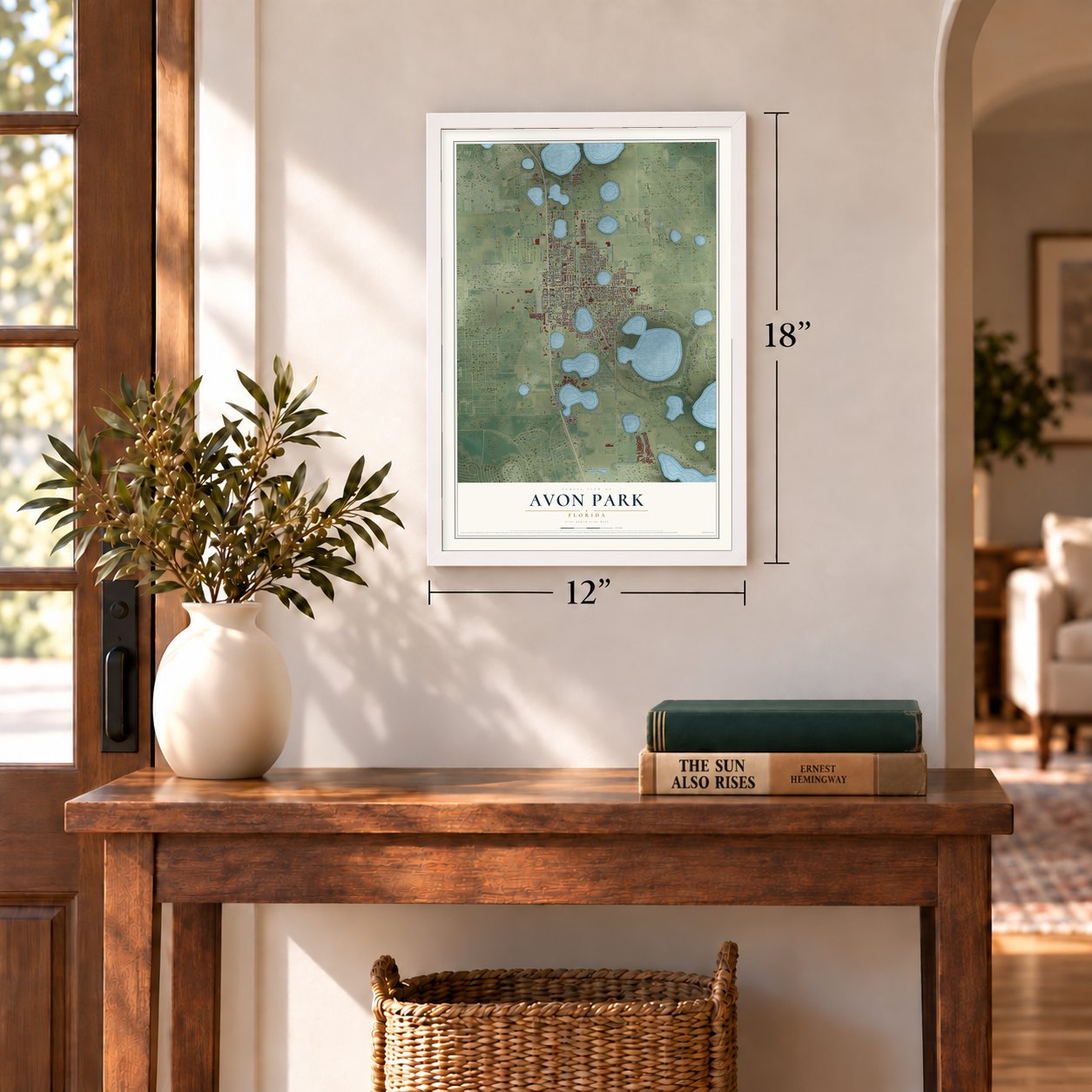

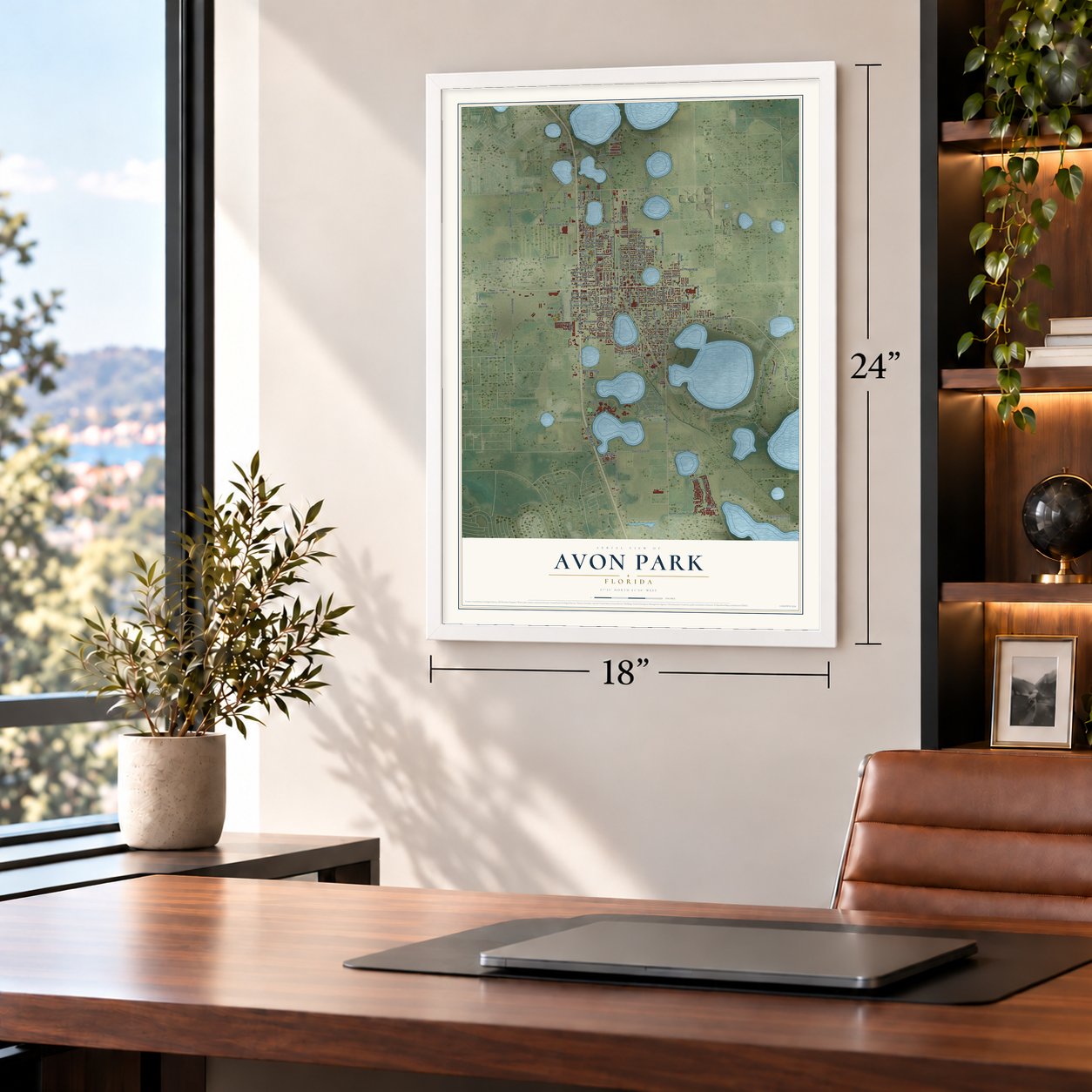

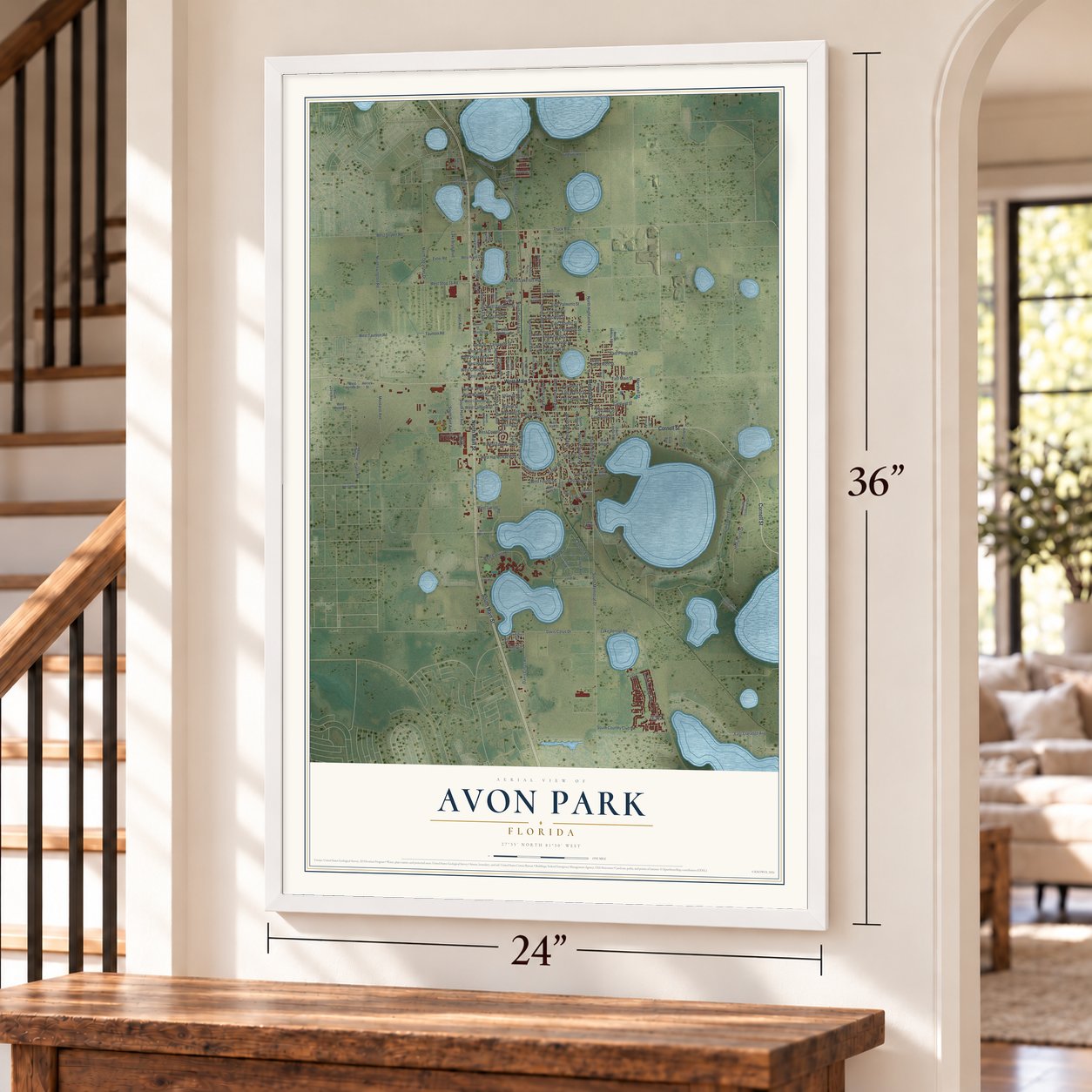

Free U.S. delivery 7 to 10 days after you order
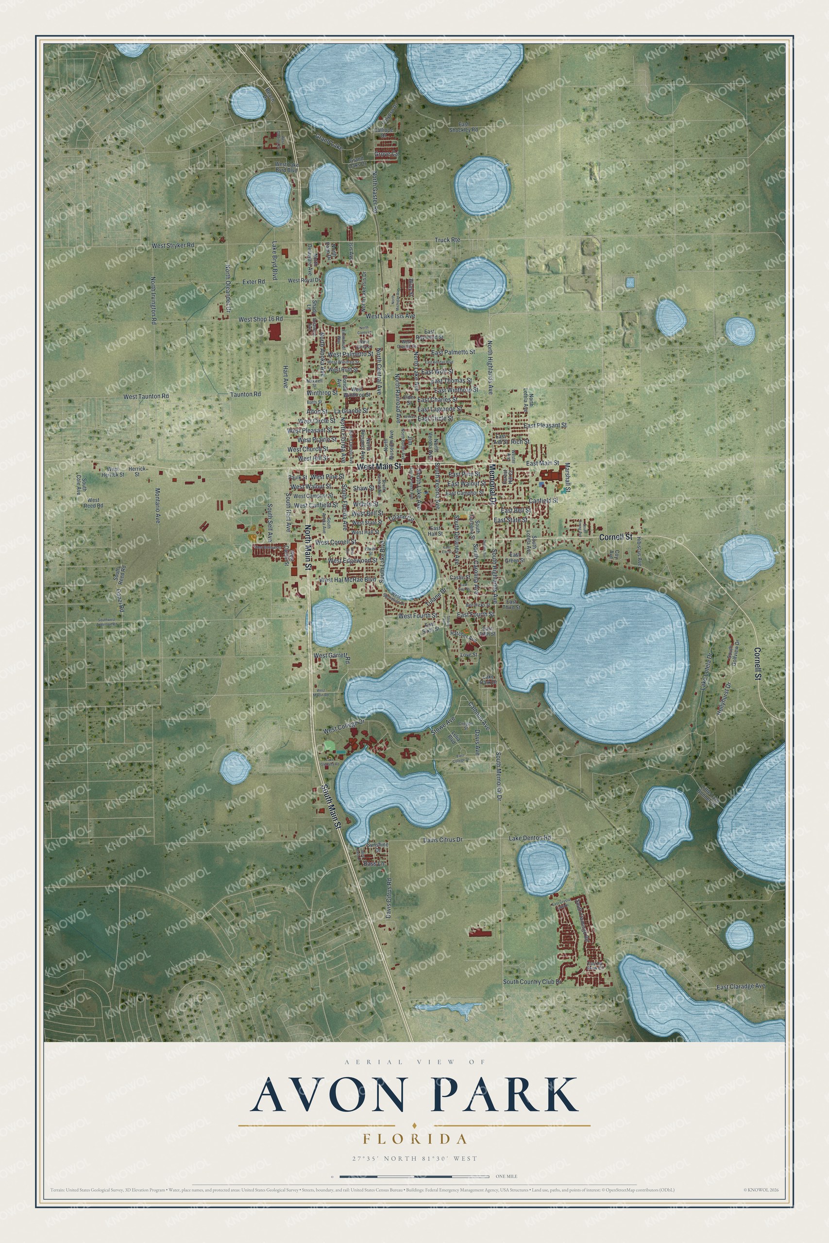
Avon Park, Florida Map Art
A new map of Avon Park, Florida, made in 2026 and printed to order on thick archival matte paper.
12" x 18" Archival Matte Print
A Map of Home. A Work of Art.
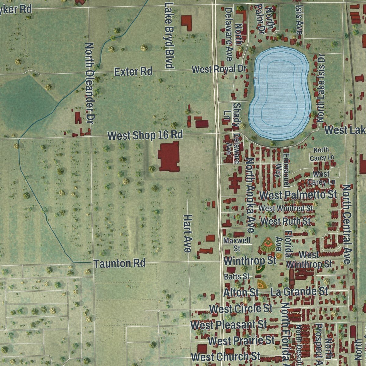
Explore Avon Park, Florida from a whole new perspective. Created using aerial imagery and detailed geographic data, this map captures Avon Park building by building, with labeled streets, familiar landmarks, and shaded topographical relief that highlights the natural contours of the landscape.
Combining modern data with the timeless character of a vintage atlas, this map is just as interesting up close as it is beautiful on the wall. Whether you grew up in Avon Park, spent memorable years there, or call it home today, this unique map is a great way to celebrate a place that means something to you. Zoom in on the preview to look for your street, and then order a print to put your memories on the wall.
Three ways to hang it
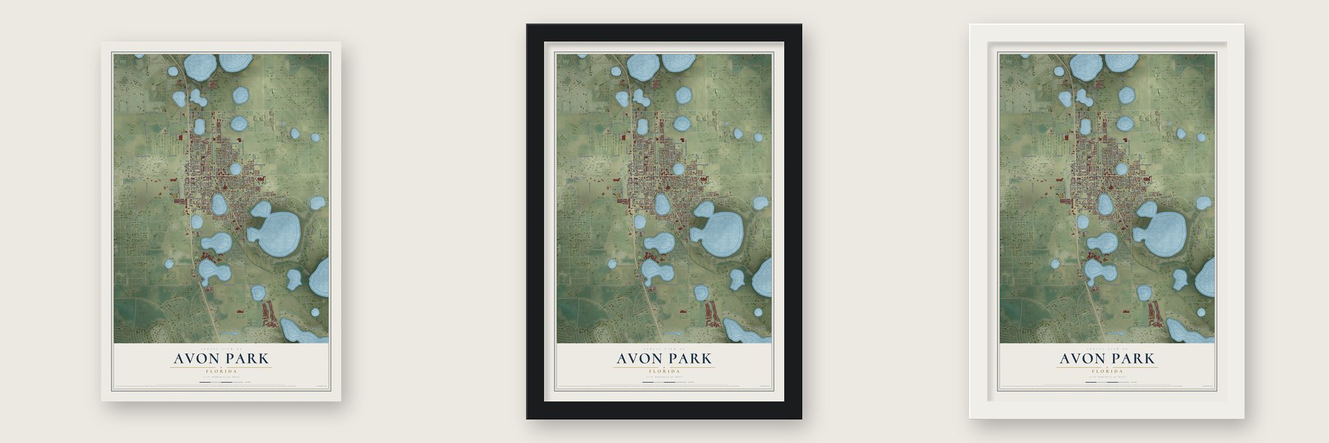
Unframed archival matte, a black wood frame or a white wood frame.
Up close
Geography Worth Displaying
This map was created using accurate cartographic data and authoritative geographic sources, including the U.S. Geological Survey (USGS) and FEMA. The map brings together terrain, waterways, roads, and building detail. The majority of the streets are labeled, houses are accurately depicted, and the topography is derived from government sources. Combining local data with carefully composed color and shading leads to this beautifully detailed Avon Park artwork for your wall.
Rather than simply showing street outlines, we’ve included as many of the street names as we could reasonably fit on the map while keeping their names legible. Zoom in on the high resolution preview to see exactly what’s on the map. We truly set out to create a statement piece for anyone who loves Avon Park. So whether it’s for you, or a gift for someone you love, we hope this map of Avon Park brings back fond memories.
Explore the full map of Avon Park, Florida and read about the local places it shows.

About Avon Park, Florida
Avon Park is a city of 9,658 people in Highlands County, and it is the oldest city in the county. Oliver Martin Crosby left Connecticut in 1884 to study Everglades wildlife, and he chose to stay. Settlers came after him, and by 1886 their numbers were large enough to found a community they called the Town of Lake Forest.
Crosby led the Florida Development Company, and he brought in new settlers, many of them English. A good number came from Stratford-upon-Avon, and they named the town for their old home. The city grew up among round lakes formed in the limestone below, with Lake Tulane, Lake Verona and Lake Isis inside its limits.
- Cardinals spring trainingAvon Park's Charles R. Head talked his friend Sam Breadon, owner of the St. Louis Cardinals, into training the team here. From 1927 to 1929 they worked out at the new Cardinal Field, now Head Field, and some games outdrew the city's whole population. When the deal ended in 1929, Breadon left for Bradenton, faulting the hotels and field.
- Babe Ruth's streetBefore the Cardinals met the New York Yankees on March 16, 1928, townspeople gave Babe Ruth a souvenir bat that measured 52 inches and weighed 14 pounds. During the game Ruth hit a home run that landed on a nearby street, which the city renamed Ruth Street to honor him.
- A 21-year-old mayorIn 1951, when Black officials ran that precinct for the first time, Sauls won 92.5 percent there. The council voided its votes, 3 to 1, but Sauls and councilmen Mannin Kirkland and J. B. Sparks sued, and the Supreme Court of Florida seated all three.
- Mosquitoes from the skyIn 1956 the U.S. Army Chemical Corps sent a plane up from the Avon Park Air Force Range and released 600,000 uninfected yellow fever mosquitoes over the city, part of a military test called Operation Drop Kick. Within a day the insects had spread a mile or two in every direction and bitten many residents. The records of the experiment stayed secret until October 28, 1980.
Find your street
Names on the Avon Park map
Every name below is printed on this map. Look for your street, your school, the park where you played, or the pond down the road.
Places and landmarks1
- Grand Lake
Streets and roads177
- South Main Street
- North Main Street
- Memorial Drive
- West Main Street
- Cornell Street
- South Lake Boulevard
- West Cornell Street
- North Highlands Avenue
- East Main Street
- East Fourth Street
- South Carolina Avenue
- South Highlands Avenue
- South Memorial Drive
- North Lake Avenue
- East Winthrop Street
- East Pleasant Street
- East Palmetto Street
- South Lake Avenue
- East Circle Street
- South Hart Avenue
- South Florida Avenue
- North Florida Avenue
- West Pleasant Street
- North Railroad Avenue
- West Edgewood Street
- East Lagrande Street
- West Stryker Road
- North Central Avenue
- North Oleander Drive
- South Delaney Avenue
Show all 177 streets
- Truck Route
- South Verona Avenue
- Canfield Street
- North Anoka Avenue
- West Taunton Road
- West Bell Street
- North Irvington Road
- South Country Club Drive
- West Shop 16 Road
- West College Drive
- Lake Lotela Drive
- West Church Street
- Calhoun Avenue
- Stowe Avenue
- Exter Road
- West Canfield Street
- West Lake Isis Avenue
- West Walnut Street
- North Gaster Road
- West Circle Street
- Hart Avenue
- East State Street
- West Hal McRae Boulevard
- Hollyhurst Drive
- West Palmetto Street
- Davis Citrus Drive
- La Grande Street
- East Bell Street
- Tulane Drive
- West Garrett Road
- Davis Citrus Road
- Taunton Road
- East Walnut Street
- East Pine Street
- Alton Street
- Lake Denton Road
- East Claradge Avenue
- South Self Avenue
- Montario Avenue
- West Fourth Street
- Danzi Road
- Marshall Street
- West Hill Street
- West Pine Street
- West Prairie Street
- East Thomas Street
- East Charles Street
- Wilhite Street
- Tulane Circle
- Grove Circle
- Lake Bryd Boulevard
- East Wolf Street
- Winthrop Street
- Davis Avenue
- Bass Lane
- Shaw Street
- Rich Street
- Jim
- East Sixth Street
- Hatcher Avenue
- East Fifth Street
- North Lotela Avenue
- Sunshine Drive
- South Carolina Street
- West Castle Street
- West Winthrop Street
- Beach Drive
- North Verona Avenue
- West State Street
- South Lotela Avenue
- South Flamingo Road
- East Green Street
- East Camphor Street
- West Hall Street
- North Lake Isis Drive
- East Hall Street
- East Third Street
- South Reed Road
- West Camphor Street
- South Golfview Drive
- North Palm Drive
- Grand Oaks Drive
- Castle Street
- West Herrick Street
- West Lake Byrd Boulevard
- Little Lake Bonnet Road
- North Delaware Avenue
- East Ash Street
- North Museum Avenue
- East Raymond Street
- North Prospect Avenue
- East Shockley Road
- West Royal Drive
- Calliope Drive
- West Ruth Street
- Calypso Drive
- Lelia Boulevard
- South Cole Avenue
- Hibiscus Avenue
- West Reed Road
- Herrick Street
- Forest Hill Court
- Coy Avenue
- Florida Avenue
- Isis Avenue
- Paulk Street
- Elder Street
- Love Street
- Lake Park Drive
- Shady Lane
- Wray Street
- Ben Hicks Street
- Wester Avenue
- West Shoreline Drive
- South Anoka Avenue
- South Central Avenue
- Oregon Street
- Emmanuel Way
- South Forest Avenue
- North Butler Avenue
- West Winifred Street
- North Desoto Avenue
- West Carey Lane
- West Orange Street
- Elwell Street
- Delaware Avenue
- East No Snow Circle
- Batts Street
- Maxwell Street
- West Martin Road
- Strong Avenue
- West Bohland Street
- West Bass Lane
- East College Drive
- East Crystal Lake Drive
- East First Street
- Ezra Circle
- East Kendall Boulevard
- North Carey Lane
- North Michigan Avenue
- Southwest Anderson Road
- Lake Glenada Road
- West Gladiola Drive
- South Young Avenue
- Wilkes Street
- Deleon Avenue
- East Ebi Street
Names are listed as they appear on the printed map. Zoom into the product photos to find them.
The art of mapping a place
How This Map Was Made
Real places. Remarkable detail. Discover the layers that turn geographic data into a map of home.

The view from above
Aerial imagery reveals the character of the land: woodland, open fields, and the patterns of a place.

The shape of the land
Elevation data brings hills, valleys, and subtle changes in the landscape into view.

The details of home
Roads, waterways, and building footprints come together to make the map feel unmistakably local.

Geography becomes art
Considered color, shading, and typography bring the layers together in a map made for your wall.


Process illustrated with Mendon, Massachusetts. Aerial imagery: USDA NAIP. Terrain: USGS 3D Elevation Program. Map details and finished artwork: KNOWOL.
The Details
About This Print
Choose an archival matte print, or a black or white Ayous wood frame. The archival matte print is unframed.
Select your size and finish above to see the matching product image and price.
Materials & Craftsmanship
A contemporary map with the character of a classic atlas, printed on archival matte paper. Optional frames are made from Ayous wood.
Your printed map does not include the watermark shown in the full-map preview.
Shipping & Delivery
Free shipping within the United States. Every print is made to order in the USA.
Buying a gift? Add a note in your cart and we'll include it. We never put prices in the package.
Prints ship within 2 to 3 business days. Allow 7 to 10 days total from ordering for delivery. Timing may vary during holidays or periods of high order volume.
Read our shipping policy.
Returns and damaged prints
Each print is made to order. Change-of-mind refunds are not available after production.
If your print arrives damaged, misprinted or incorrect, contact support@knowol.com within 30 days of receiving it. Include your order number, photos and a description of the issue.
Read our full refund and replacement policy. For questions about your order, email support@knowol.com.
Find your town
Looking for another city?
Find a map of home in our Florida collection, or any town in the country.
Nearby
Maps of towns near Avon Park
Know someone from one of these towns? Their map makes a great gift.
 Lemon Grove
, Florida
From $39.99See the map
 Sebring
, Florida
From $39.99See the map
 Frostproof
, Florida
From $39.99See the map
More maps nearby: Hillcrest Heights, Babson Park, Indian Lake Estates, Crooked Lake Park and Lake Placid.