
Search for another town





Free U.S. delivery 7 to 10 days after you order
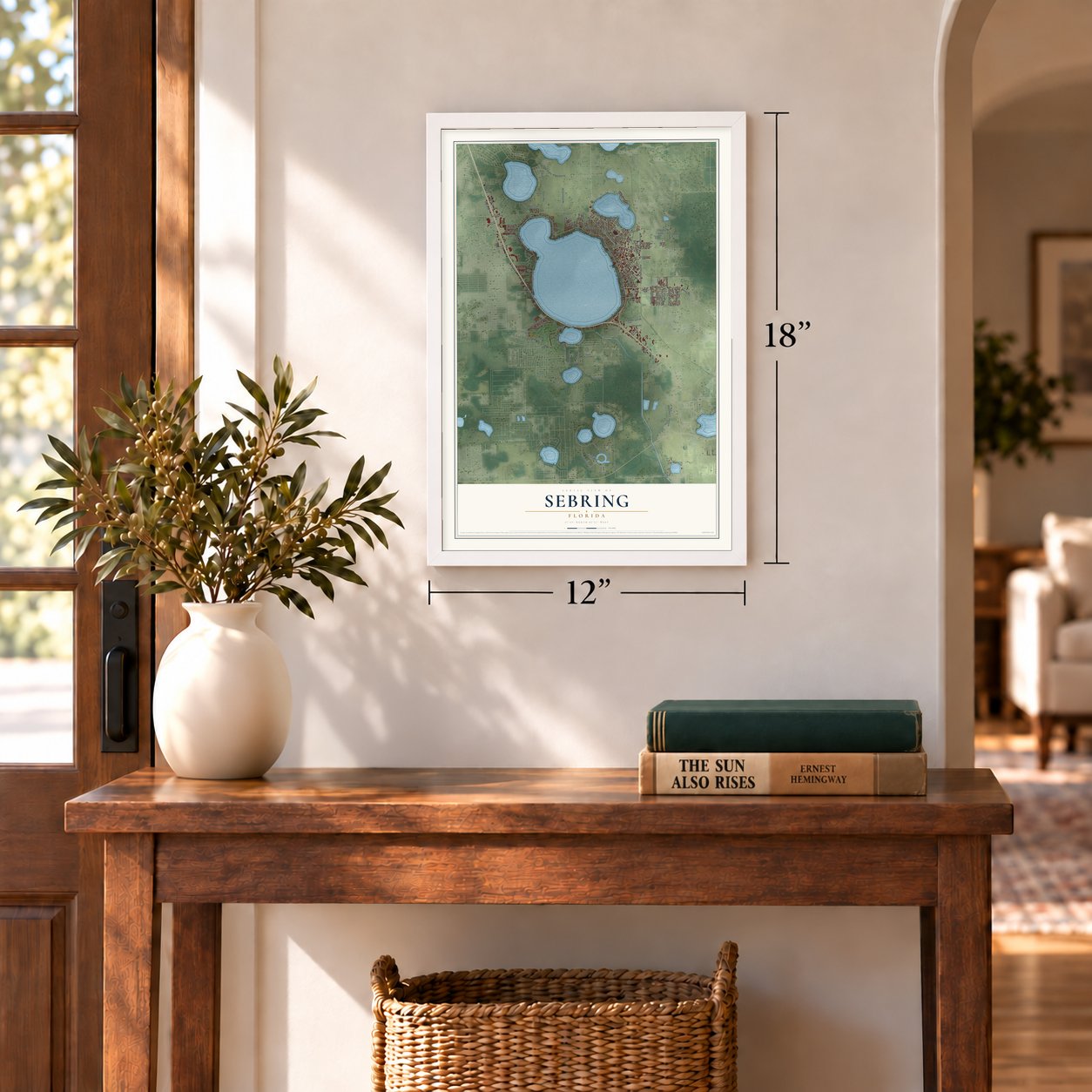
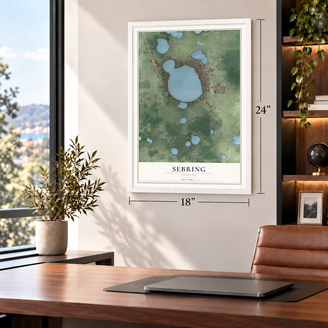
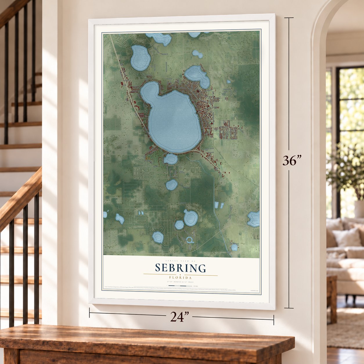
Sebring, Florida Map Art
A new map of Sebring, Florida, made in 2026 and printed to order on thick archival matte paper.
12" x 18" Archival Matte Print
A Map of Home. A Work of Art.
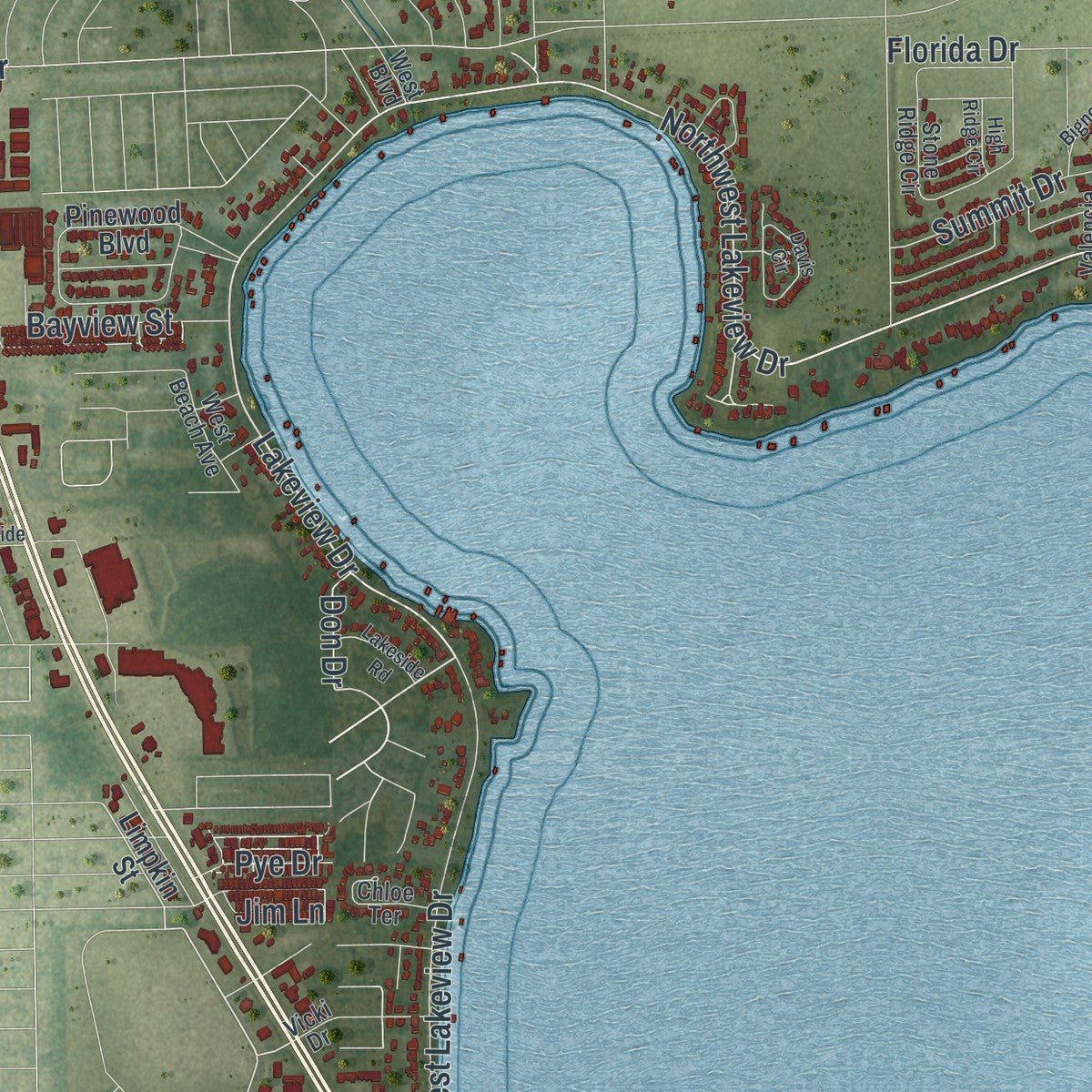
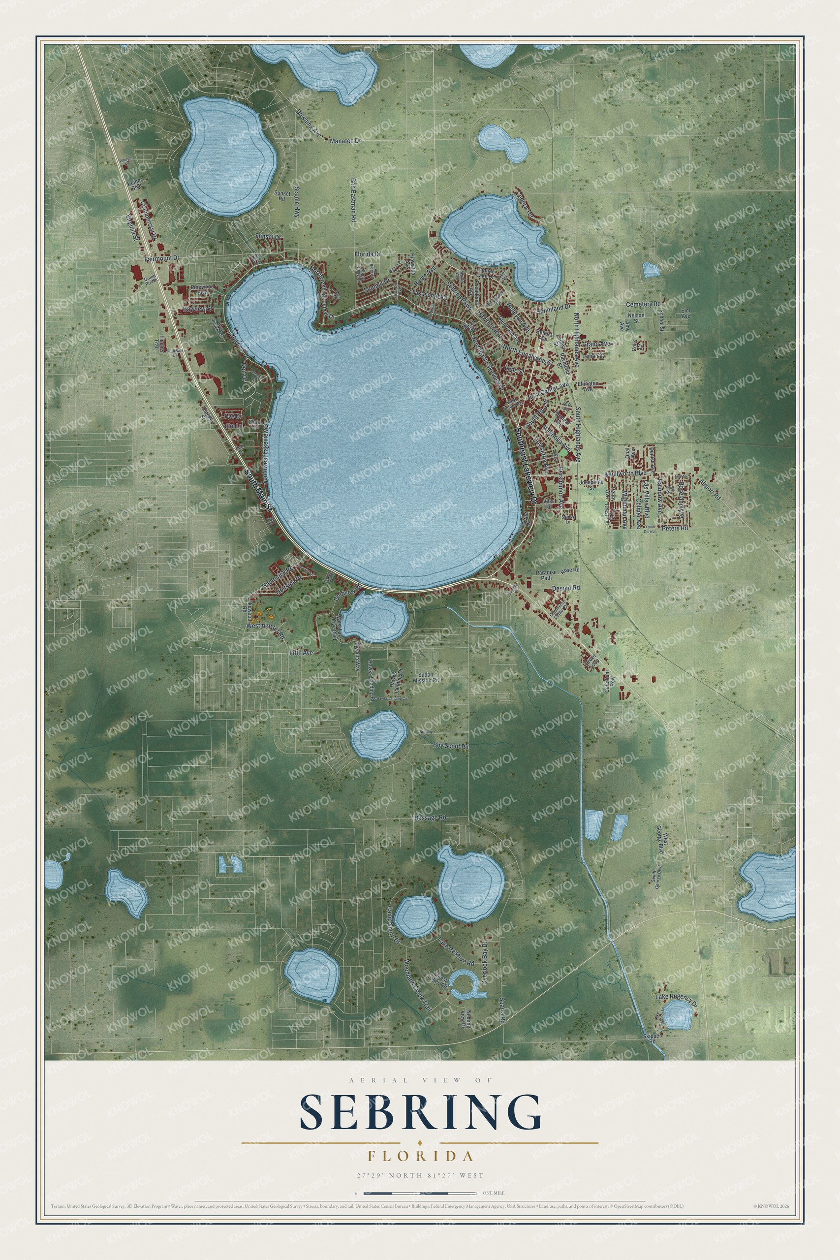
Explore Sebring, Florida from a whole new perspective. Created using aerial imagery and detailed geographic data, this map captures Sebring building by building, with labeled streets, familiar landmarks, and shaded topographical relief that highlights the natural contours of the landscape.
Combining modern data with the timeless character of a vintage atlas, this map is just as interesting up close as it is beautiful on the wall. Whether you grew up in Sebring, spent memorable years there, or call it home today, this unique map is a great way to celebrate a place that means something to you. Zoom in on the preview to look for your street, and then order a print to put your memories on the wall.
Three ways to hang it
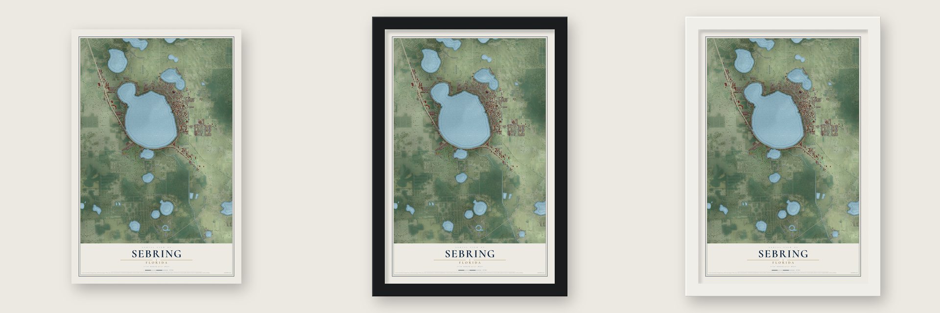
Unframed archival matte, a black wood frame or a white wood frame.
Up close
Geography Worth Displaying
This map was created using accurate cartographic data and authoritative geographic sources, including the U.S. Geological Survey (USGS) and FEMA. The map brings together terrain, waterways, roads, and building detail. The majority of the streets are labeled, houses are accurately depicted, and the topography is derived from government sources. Combining local data with carefully composed color and shading leads to this beautifully detailed Sebring artwork for your wall.
Rather than simply showing street outlines, we’ve included as many of the street names as we could reasonably fit on the map while keeping their names legible. Zoom in on the high resolution preview to see exactly what’s on the map. We truly set out to create a statement piece for anyone who loves Sebring. So whether it’s for you, or a gift for someone you love, we hope this map of Sebring brings back fond memories.
Explore the full map of Sebring, Florida and read about the local places it shows.

About Sebring, Florida
Sebring is a city of 10,729 people and the county seat of Highlands County, built on the shore of Lake Jackson. George E. Sebring, an Ohio pottery maker who lived from 1859 to 1927, founded the town in 1912 and laid it out with a circle at its heart. Florida chartered Sebring in 1913, and when Highlands County was formed in 1921, the young town was picked as its seat.
The circle gave Sebring its nickname, "The City on the Circle," after Circle Drive and Circle Park at the center of downtown. In the 1920s builders and visitors poured in, and people called the place the "Coral Gables of Central Florida." Grand Mediterranean buildings from that boom still line the streets, and Harder Hall and the Kenilworth Lodge survive from its big hotels. The Sebring Downtown Historic District, with 22 historic buildings around the park, joined the National Register in 1990.
- The Kenilworth Lodge, 1916George Sebring had the Kenilworth Lodge built at 1610 Lakeview Drive in 1916, in the Mediterranean Revival style. It welcomed hotel guests for about a century, until fire code violations shut it in 2016. The lodge joined the National Register in 2000.
- Trains since 1924The Seaboard Air Line Railway built Sebring's depot in 1924, and the old station is on the National Register. Amtrak still stops there every day, with two trains each from the Silver Meteor and the Silver Star running south to Miami and north toward Tampa, Orlando and New York City.
- Home of the Mighty TigersUnder segregation, E. O. Douglas High School in Sebring taught Black students from across Highlands County, and its teams were the Mighty Tigers. The school's final class graduated in 1967. After desegregation its students moved to schools that had been for white students only, and the old campus became the headquarters of the county school board.
- Yankees prospects in springSoon after Jacob Ruppert bought the New York Yankees, the club's Newark Bears farm team began holding spring training in Sebring, and they returned through the 1930s and 1940s. Their 1937 season is the subject of a book by Ronald A. Mayer.
- The 12 Hours of SebringEvery March, racing teams from around the world come to Sebring International Raceway, at the regional airport southeast of the city, for the 12 Hours of Sebring endurance race. Highlands Hammock, 4 miles west of town, was the first state park created in Florida.
Find your street
Names on the Sebring map
Every name below is printed on this map. Look for your street, your school, the park where you played, or the pond down the road.
Streets and roads135
- Southeast Lakeview Drive
- South Main Street
- Northwest Lakeview Drive
- Northeast Lakeview Drive
- Cemetery Road
- Sunniland Drive
- Lakeview Drive
- Manatee Drive
- South Pine Street
- Bayview Street
- Sebring Parkway
- Airport Road
- Kenilworth Boulevard
- Sparta Road
- South Highlands Avenue
- North Eucalyptus Street
- Ben Eastman Road
- North Highlands Avenue
- Southwest Lakeview Drive
- Boy Scout Road
- Scenic Highway
- Hawthorne Drive
- Golfview Road
- Camp Shore Drive
- Bassage Road
- Downing Avenue
- Fairmount Drive
- Magnolia Avenue
- Lake Regency Drive
- Virginia Street
Show all 135 streets
- Hammock Road
- Taseschee Drive
- Golfside Drive
- Woodland Creek Trail
- Lake Reserve Road
- Summit Drive
- Commercial Drive
- Persimmon Avenue
- Wightman Avenue
- Overlook Bay Drive
- Westminster Road
- Desoto Road
- Poinsettia Avenue
- Colmar Avenue
- Las Villas Boulevard
- Roseland Avenue
- Rainbow Avenue
- East Center Avenue
- Florida Drive
- Home Avenue
- Bellevue Avenue
- Cedora Terrace
- Grand Avenue
- Lime Street
- Fifth Avenue
- Sunset Drive
- Peters Road
- Pye Drive
- Don Drive
- Jim Lane
- Dinner Lake Drive
- Limpkin Street
- Pinewood Boulevard
- Lemon Street
- Glenwood Avenue
- Forest Lakes Road
- Hawks Landing Place
- Denise Avenue
- Hawks Landing Drive
- West Lake Drive Boulevard
- Hiawatha Avenue
- Josephine Street
- Fernleaf Avenue
- Nesting View Drive
- West George Boulevard
- Skipper Road
- Villa Road
- Grove Loop
- Harmony Drive
- Fincher Trail
- Medina Way
- Raymond Street
- Sunset Road
- Pasadena Avenue
- Lakewood Road
- Paradise Path
- School Street
- Sudan Mission Road
- Penny Avenue
- Park Crest Terrace
- Crescent Drive
- Nelson Street
- Caladium Row
- Amy Avenue
- Ellington Avenue
- Zephyr Street
- Keiber Boulevard
- Rose Road
- Opal Avenue
- Micco Avenue
- Helena Avenue
- Cole Court
- Elm Avenue
- Stone Ridge Circle
- South George Boulevard
- Spinks Lane
- Hotiyee Avenue
- Valencia Avenue
- Commerce Center Drive
- Bay Street
- Chloe Terrace
- West Beach Avenue
- Grand Prix Drive
- West Center Avenue
- Myrtle Avenue
- Vicki Drive
- Theon Avenue
- West Boulevard
- Youth Care Lane
- Lake Regency Lane
- Davis Circle
- Rose Avenue
- Hawks Landing Circle
- Lakeside Road
- Wolfe Drive
- Bignonia Drive
- Northside Drive
- Imperial Lane
- Sebring Drive
- High Ridge Circle
- Whisper Circle
- Brittany Lane
- Country Club Lane
- First Street
- Ryan Boulevard
Names are listed as they appear on the printed map. Zoom into the product photos to find them.
The art of mapping a place
How This Map Was Made
Real places. Remarkable detail. Discover the layers that turn geographic data into a map of home.

The view from above
Aerial imagery reveals the character of the land: woodland, open fields, and the patterns of a place.

The shape of the land
Elevation data brings hills, valleys, and subtle changes in the landscape into view.

The details of home
Roads, waterways, and building footprints come together to make the map feel unmistakably local.

Geography becomes art
Considered color, shading, and typography bring the layers together in a map made for your wall.


Process illustrated with Mendon, Massachusetts. Aerial imagery: USDA NAIP. Terrain: USGS 3D Elevation Program. Map details and finished artwork: KNOWOL.
The Details
About This Print
Choose an archival matte print, or a black or white Ayous wood frame. The archival matte print is unframed.
Select your size and finish above to see the matching product image and price.
Materials & Craftsmanship
A contemporary map with the character of a classic atlas, printed on archival matte paper. Optional frames are made from Ayous wood.
Your printed map does not include the watermark shown in the full-map preview.
Shipping & Delivery
Free shipping within the United States. Every print is made to order in the USA.
Buying a gift? Add a note in your cart and we'll include it. We never put prices in the package.
Prints ship within 2 to 3 business days. Allow 7 to 10 days total from ordering for delivery. Timing may vary during holidays or periods of high order volume.
Read our shipping policy.
Returns and damaged prints
Each print is made to order. Change-of-mind refunds are not available after production.
If your print arrives damaged, misprinted or incorrect, contact support@knowol.com within 30 days of receiving it. Include your order number, photos and a description of the issue.
Read our full refund and replacement policy. For questions about your order, email support@knowol.com.
Find your town
Looking for another city?
Find a map of home in our Florida collection, or any town in the country.
Nearby
Maps of towns near Sebring
Know someone from one of these towns? Their map makes a great gift.
 Avon Park
, Florida
From $39.99See the map
 Lake Placid
, Florida
From $39.99See the map
 Lemon Grove
, Florida
From $39.99See the map
More maps nearby: Frostproof, Zolfo Springs, Gardner, Wauchula and Indian Lake Estates.