
Search for another town
Free U.S. delivery 7 to 10 days after you order
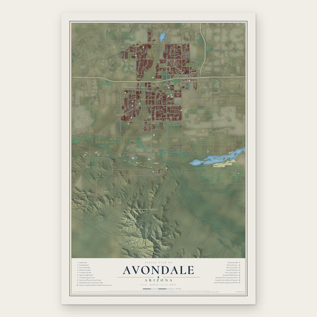
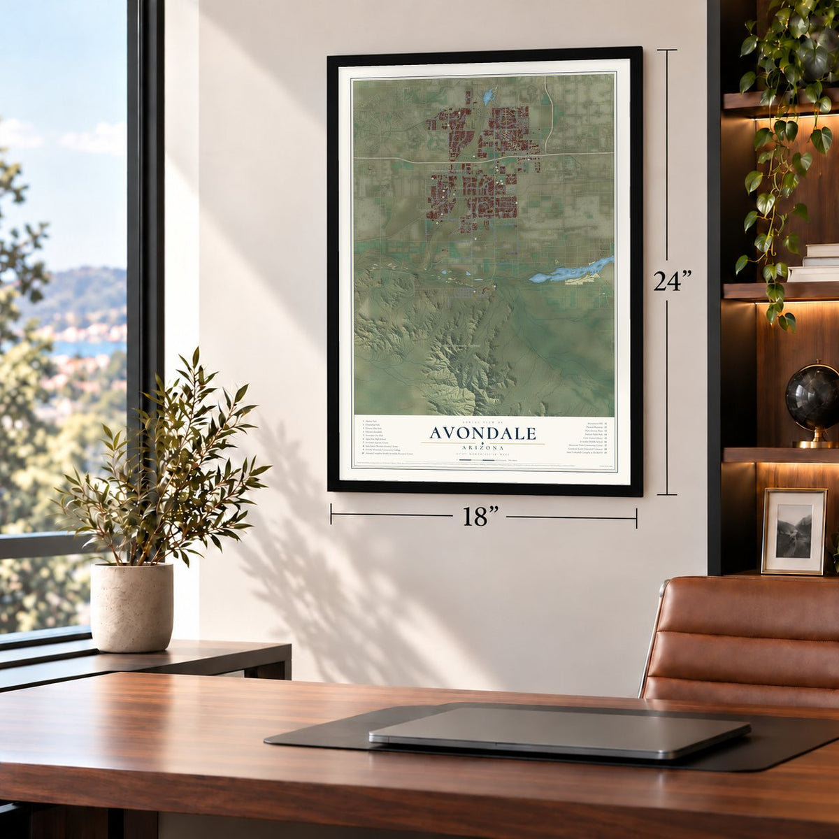
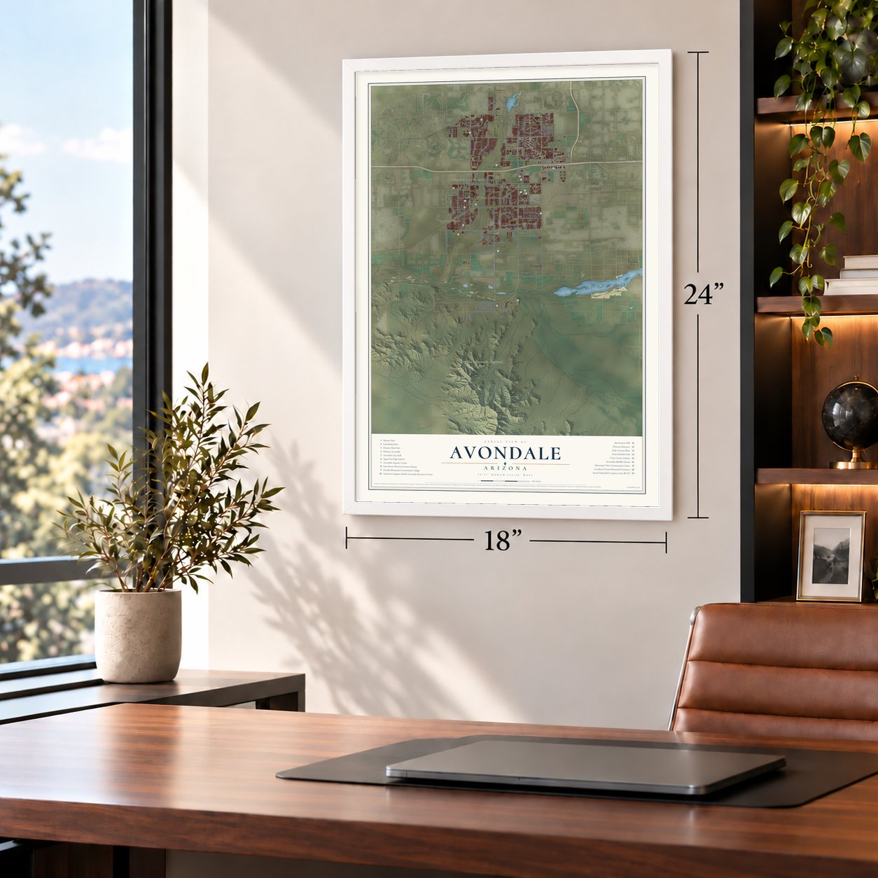
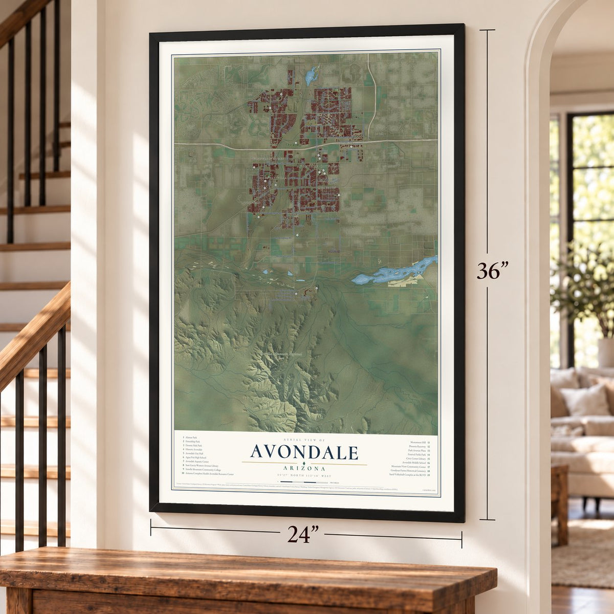
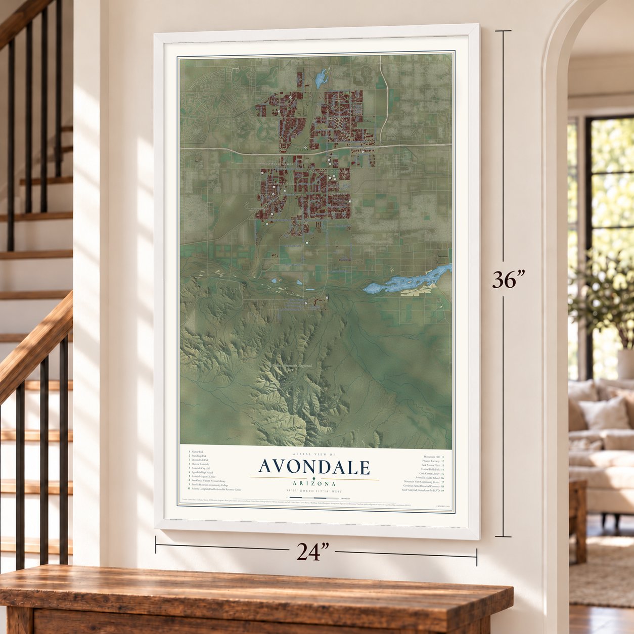
Avondale, Arizona Map Art
Building by building, with labeled streets and shaded relief.
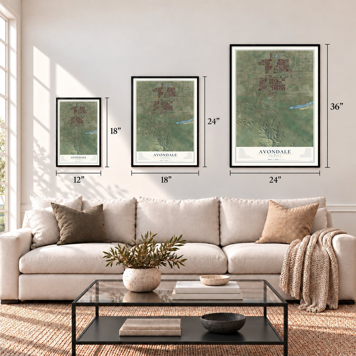
12" x 18" Archival Matte Print
A Map of Home. A Work of Art.
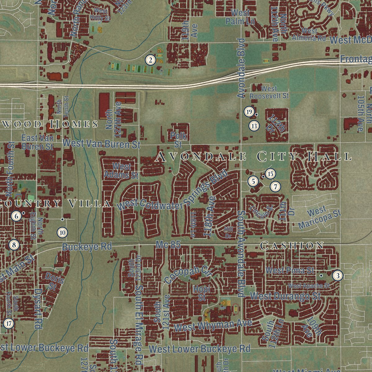
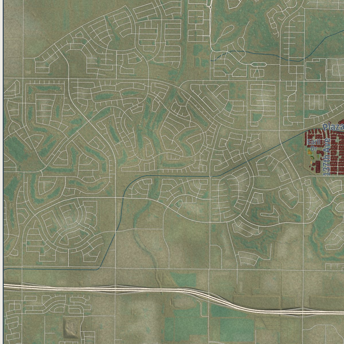
Explore Avondale, Arizona from a whole new perspective. Created using aerial imagery and detailed geographic data, this map captures Avondale building by building, with labeled streets, familiar landmarks, and shaded topographical relief that highlights the natural contours of the landscape.
Combining modern data with the timeless character of a vintage atlas, this map is just as interesting up close as it is beautiful on the wall. Whether you grew up in Avondale, spent memorable years there, or call it home today, this unique map is a great way to celebrate a place that means something to you. Zoom in on the preview to look for your street, and then order a print to put your memories on the wall.

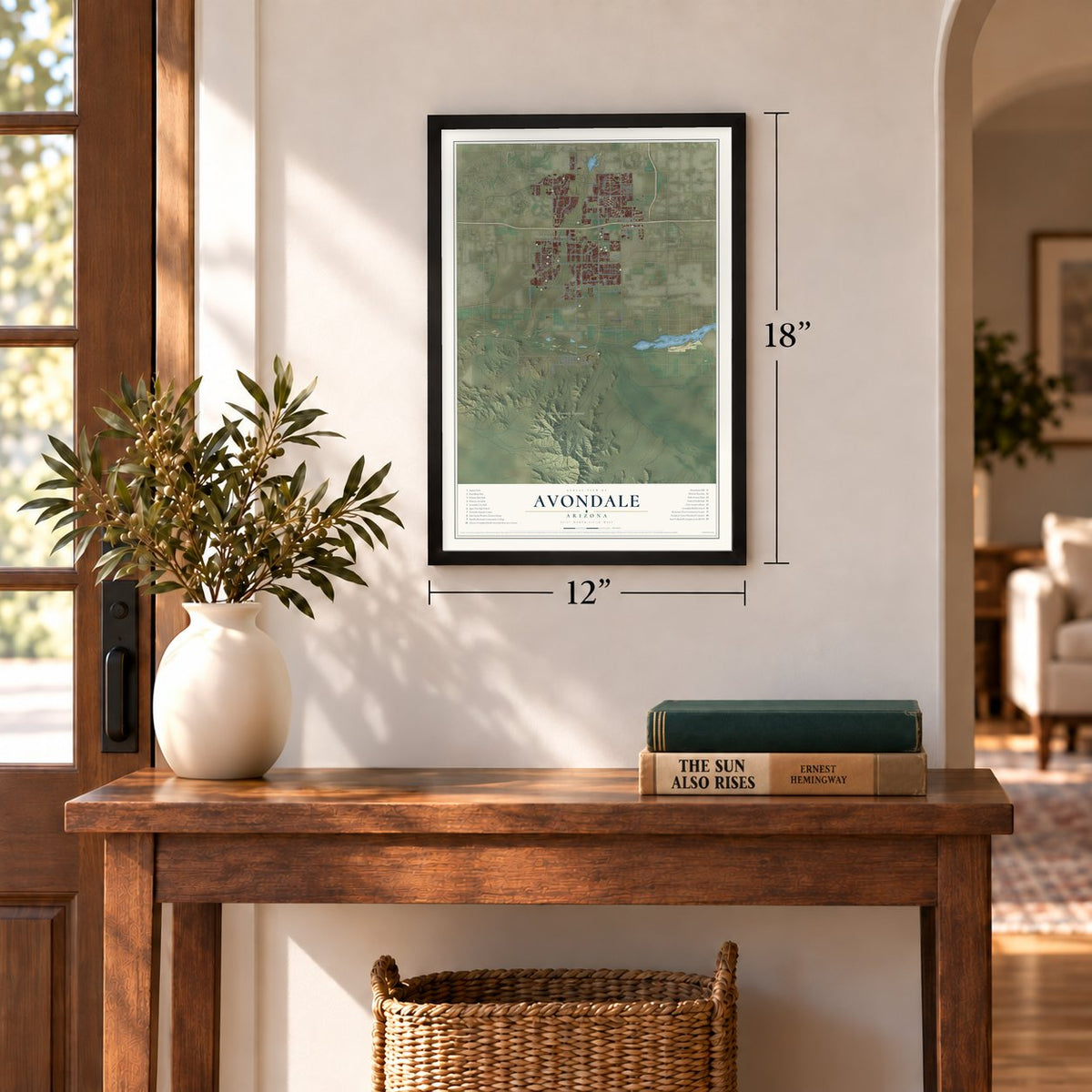
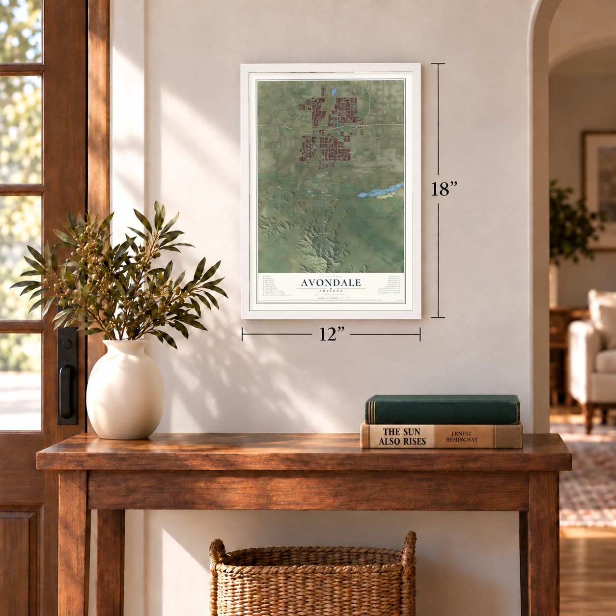
Three ways to hang it
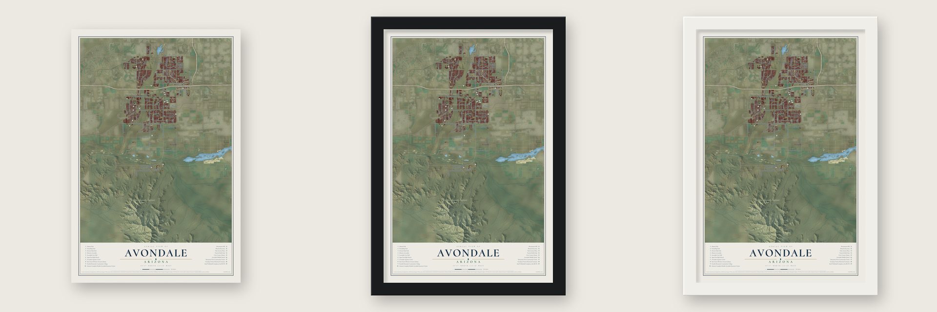
Unframed archival matte, a black wood frame or a white wood frame.
Up close
Geography Worth Displaying
This map was created using accurate cartographic data and authoritative geographic sources, including the U.S. Geological Survey (USGS) and FEMA. The map brings together terrain, waterways, roads, and building detail. The majority of the streets are labeled, houses are accurately depicted, and the topography is derived from government sources. Combining local data with carefully composed color and shading leads to this beautifully detailed Avondale artwork for your wall.
Rather than simply showing street outlines, we’ve included as many of the street names as we could reasonably fit on the map while keeping their names legible. Zoom in on the high resolution preview to see exactly what’s on the map. We truly set out to create a statement piece for anyone who loves Avondale. So whether it’s for you, or a gift for someone you love, we hope this map of Avondale brings back fond memories.
Explore the full map of Avondale, Arizona and read about the local places it shows.
Find your street
Names on the Avondale map
Every name below is printed on this map. Look for your street, your school, the park where you played, or the pond down the road.
Places and landmarks6
- Avondale City Hall
- Winnwood Homes
- Estrella Mountain Regional Park
- Litchfield
- Cashion
- Country Villa
Streets and roads111
- South Avondale Boulevard
- Indian Springs Road
- West Thomas Road
- West Indian School Road
- Mc 85
- West McDowell Road
- North Dysart Road
- West Van Buren Street
- South 123rd Avenue
- West Lower Buckeye Road
- South El Mirage Road
- South 107th Avenue
- North 107th Avenue
- West Broadway Road
- South 115th Avenue
- Buckeye Road
- West Encanto Boulevard
- North 99th Avenue
- Avondale Boulevard
- North Santa Fe Trail
- Frontage Road
- West Whyman Avenue
- South 125th Avenue
- North El Mirage Road
- Buckeye Canal
- West Coldwater Springs Boulevard
- South Litchfield Road
- West Durango Street
- West Miami Avenue
- West South Mountain Road
Show all 111 streets
- North Central Avenue
- Roosevelt Street
- West Southern Avenue
- East Lower Buckeye Road
- West Lakeshore Drive
- 103rd Avenue
- Cocopah Circle
- 118th Avenue
- East Main Street
- Plaza Circle
- Dysart Road
- 137th Avenue
- 101st Avenue
- West Palm Lane
- North 115th Avenue
- West Garden Lakes Parkway
- South Dysart Road
- North 127th Avenue
- North 105th Avenue
- West Pima Street
- North 109th Avenue
- North Rancho Santa Fe Boulevard
- Dealer Drive
- North 119th Avenue
- West Flower Street
- West Road Course Road
- North Fourth Street
- South 127th Avenue
- West Adams Street
- West Stagecoach Road
- West Dragstrip Road
- 119th Avenue
- East Van Buren Street
- North 112th Avenue
- North 126th Drive
- South Third Avenue
- Canal Access Road
- West Maricopa Street
- South 121st Avenue
- North 124th Avenue
- 112th Drive
- North 112th Lane
- 111th Drive
- Osborn Road
- West Roeser Road
- 105th Avenue
- El Mirage Road
- South 112th Lane
- 132nd Avenue
- Hopi Street
- 109th Avenue
- Doris Street
- Polk Street
- North 123rd Drive
- West Elwood Street
- Crystal Gardens Parkway
- West Almeria Road
- South 123rd Drive
- West Avalon Drive
- North Eighth Street
- West Illini Street
- South First Street
- West Roosevelt Street
- Westwind Parkway
- Lincoln Street
- South 116th Drive
- Sieno Place
- Earll Drive
- 118th Lane
- North 129th Drive
- Verde Lane
- West Apache Street
- West Holly Street
- South Fourth Street
- West Bermuda Drive
- North Tenth Street
- West Osborn Road
- West Weldon Avenue
- 116th Drive
- West Wier Avenue
- Hill Drive
Names are listed as they appear on the printed map. Zoom into the product photos to find them.
About Avondale, Arizona
Avondale is a city of 89,334 people on Phoenix's west side in Maricopa County, where the Agua Fria River runs into the Gila. Its first name was Coldwater. William "Billy" G. Moore reached Arizona in the late 1860s, took up land near the Agua Fria in 1880 and named his settlement, it seems, for the river and the water of a nearby spring.
In the 1880s Moore opened the Coldwater Stage Station by the river crossing, one of the earliest in the region, and people traveling from Tucson toward northern Arizona and California stopped there for supplies. A saloon and a general store soon grew up around it. A post office opened near the Avondale Ranch in 1896, and Moore ran it as postmaster from 1901 to 1905, but the office came to carry the ranch's name, and Coldwater faded away. The City of Avondale was incorporated in December 1946.
- Where Arizona's surveys beginAll of Arizona's land surveys are measured from Monument Hill, at Baseline Road and 115th Avenue, where the Gila and Salt River Meridian begins. The first marker was set in 1851, and in 1867 the first survey from it laid out Arizona's first 36 miles. It has been re-marked often, last in 2006 by Phoenix College students, the Arizona Professional Surveyors Society and the Bureau of Land Management. It joined the National Register on October 15, 2002.
- Racing since 1964Phoenix Raceway opened in 1964 as a one-mile oval. It hosts NASCAR and IndyCar races, and from 2020 to 2025 it held NASCAR's championship race every November. Budget-minded fans sit on the terraced west side of neighboring Monument Hill. Past turns one and two, a hillside goes by the name Rattlesnake Hill, after stories that officials cleared snakes and scorpions out before the green flag.
- Cotton, cattle and Western AvenueRanching, the railroad and cotton farming carried the early town, and its business street, Western Avenue, filled with a mix of small western buildings. The Avon Theater opened there in 1947, and the Googie-style Burger Building followed in 1960. Alfalfa and cotton fields once covered much of the land, but the city grew from 35,883 people in 2000 to 89,334 in 2020, while the Old Town area keeps its old business district.
- A school named for an astronautMichael P. Anderson, an Air Force officer who became a NASA astronaut, was a third grader at Avondale Elementary School, built in 1937. The school now bears his name.
- Agua Fria High since 1956Its first class graduated in 1932, when it was still Litchfield Park High School. In 1956 it moved to Avondale and took the name of the river beside it. Randall McDaniel ran sprints there before a football career that put him in the Pro Football Hall of Fame in 2009.
Keep exploring Arizona
Avondale is one of 528 Arizona towns we've mapped. Every dot on the map is a print of its own.
The search covers every state, Arizona first.
Near Avondale
Order 2 or more town maps and save 10%. Shown in the size and finish you picked above, so they hang as a set.
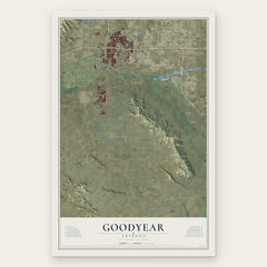
- Goodyear 12" x 18" / Archival Matte Print $39.99
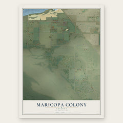
- Maricopa Colony 12" x 18" / Archival Matte Print $39.99
- Laveen 12" x 18" / Archival Matte Print $39.99

More maps nearby: Komatke, Gila Crossing, Tolleson, Liberty and Santa Cruz.
The art of mapping a place
How This Map Was Made
Real places. Remarkable detail. Discover the layers that turn geographic data into a map of home.

The view from above
Aerial imagery reveals the character of the land: woodland, open fields, and the patterns of a place.

The shape of the land
Elevation data brings hills, valleys, and subtle changes in the landscape into view.

The details of home
Roads, waterways, and building footprints come together to make the map feel unmistakably local.

Geography becomes art
Considered color, shading, and typography bring the layers together in a map made for your wall.


Process illustrated with Mendon, Massachusetts. Aerial imagery: USDA NAIP. Terrain: USGS 3D Elevation Program. Map details and finished artwork: KNOWOL.
The Details
About This Print
Choose an archival matte print, or a black or white Ayous wood frame. The archival matte print is unframed.
Select your size and finish above to see the matching product image and price.
Materials & Craftsmanship
A contemporary map with the character of a classic atlas, printed on archival matte paper. Optional frames are made from Ayous wood.
Your printed map does not include the watermark shown in the full-map preview.
Shipping & Delivery
Free shipping within the United States. Every print is made to order in the USA.
Buying a gift? Add a note in your cart and we'll include it. We never put prices in the package.
Prints ship within 2 to 3 business days. Allow 7 to 10 days total from ordering for delivery. Timing may vary during holidays or periods of high order volume.
Read our shipping policy.
Returns and damaged prints
Each print is made to order. Change-of-mind refunds are not available after production.
If your print arrives damaged, misprinted or incorrect, contact support@knowol.com within 30 days of receiving it. Include your order number, photos and a description of the issue.
Read our full refund and replacement policy. For questions about your order, email support@knowol.com.