
Search for another town
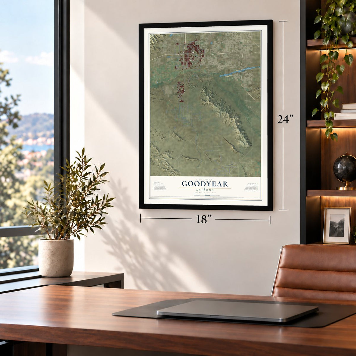
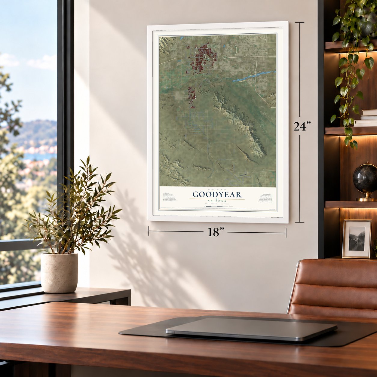
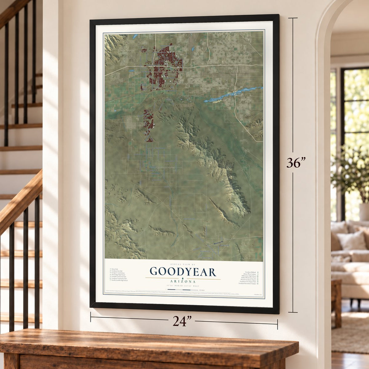
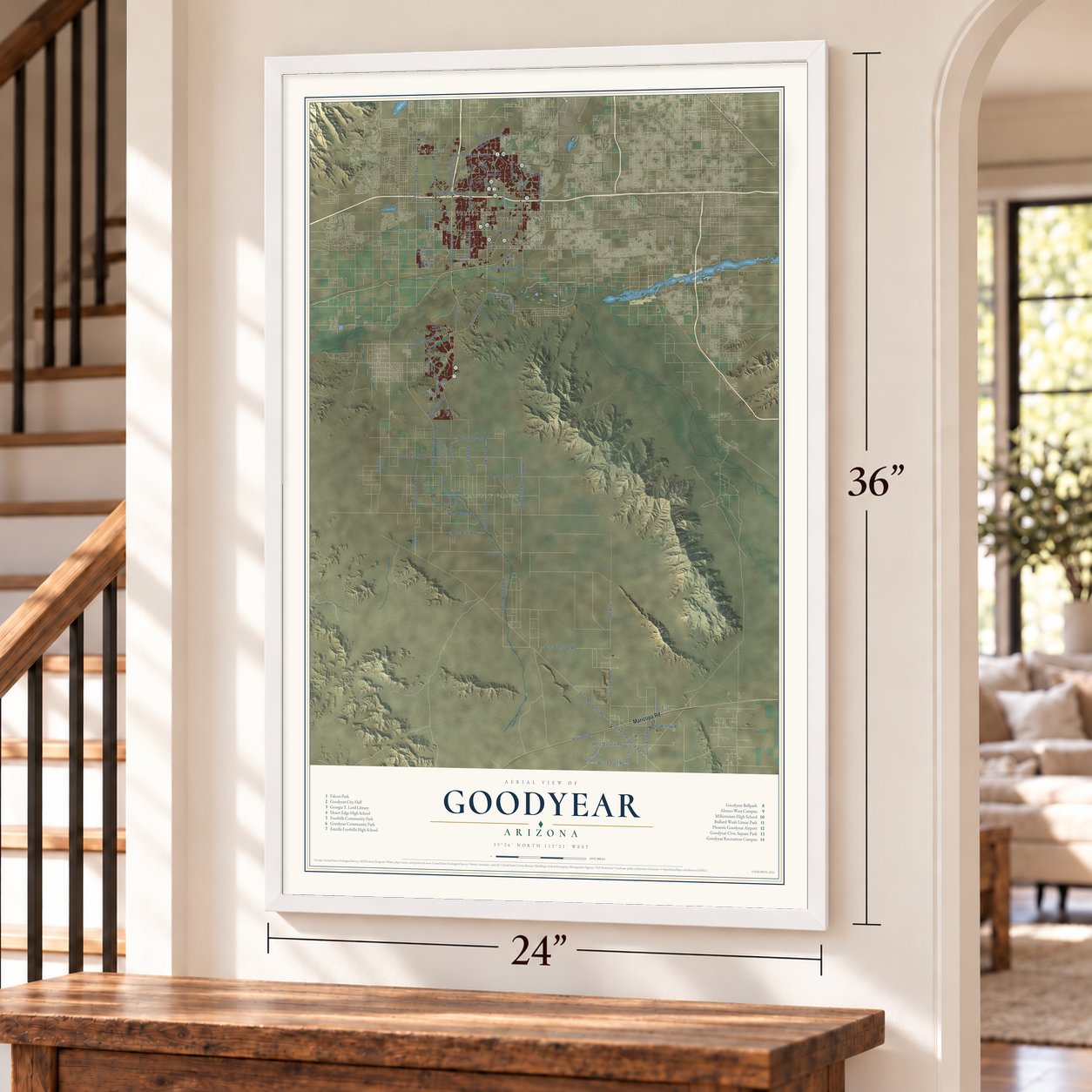
Free U.S. delivery 7 to 10 days after you order
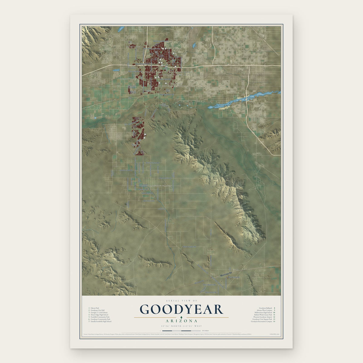
Goodyear, Arizona Map Art
Building by building, with labeled streets and shaded relief.
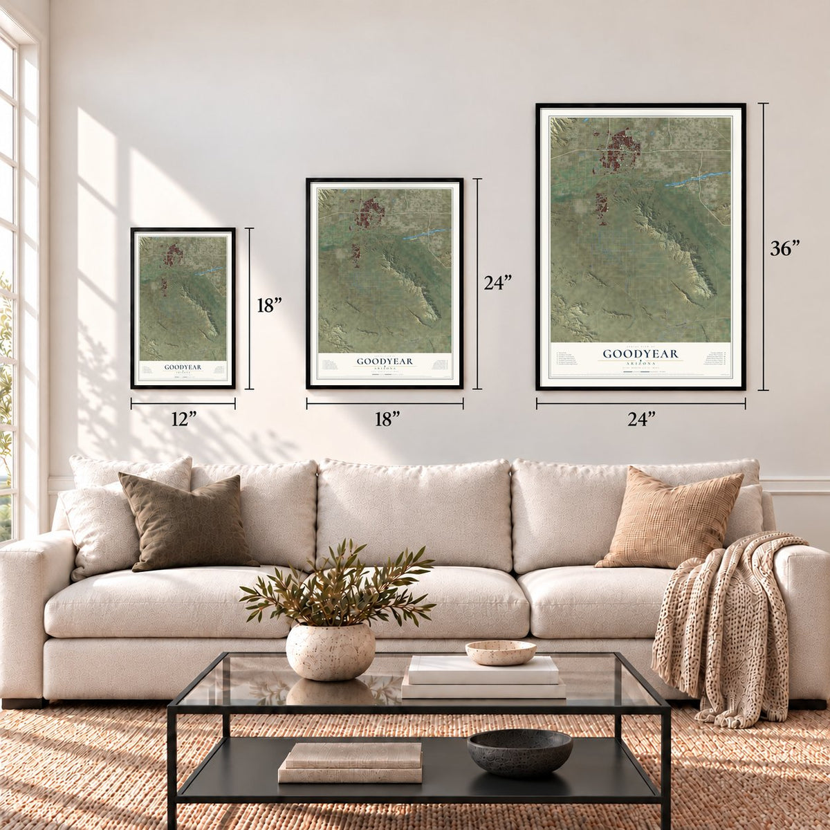
12" x 18" Archival Matte Print
A Map of Home. A Work of Art.
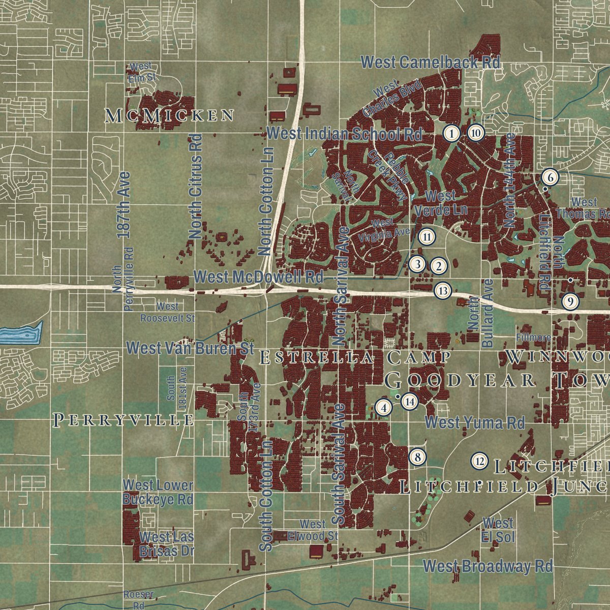
Explore Goodyear, Arizona from a whole new perspective. Created using aerial imagery and detailed geographic data, this map captures Goodyear building by building, with labeled streets, familiar landmarks, and shaded topographical relief that highlights the natural contours of the landscape.
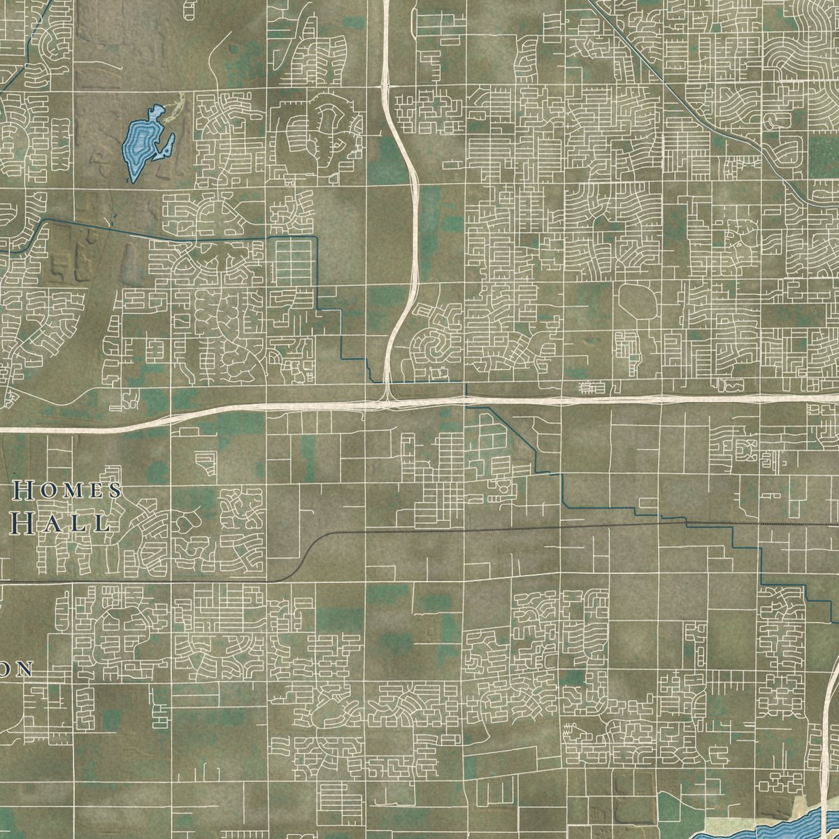
Combining modern data with the timeless character of a vintage atlas, this map is just as interesting up close as it is beautiful on the wall. Whether you grew up in Goodyear, spent memorable years there, or call it home today, this unique map is a great way to celebrate a place that means something to you. Zoom in on the preview to look for your street, and then order a print to put your memories on the wall.

Three ways to hang it
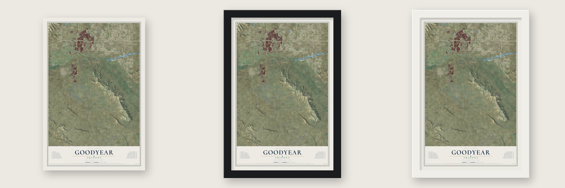
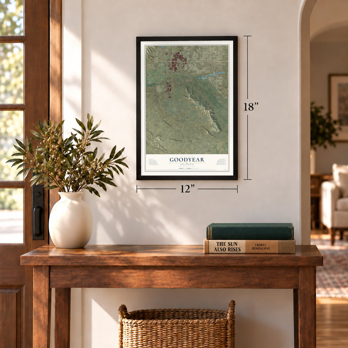
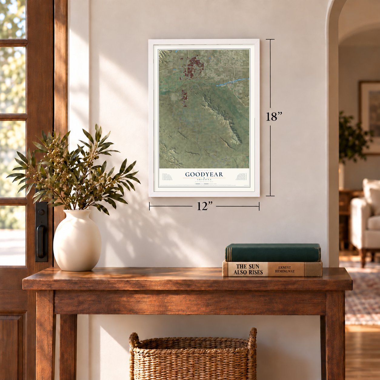
Unframed archival matte, a black wood frame or a white wood frame.
Up close
Geography Worth Displaying
This map was created using accurate cartographic data and authoritative geographic sources, including the U.S. Geological Survey (USGS) and FEMA. The map brings together terrain, waterways, roads, and building detail. The majority of the streets are labeled, houses are accurately depicted, and the topography is derived from government sources. Combining local data with carefully composed color and shading leads to this beautifully detailed Goodyear artwork for your wall.
Rather than simply showing street outlines, we’ve included as many of the street names as we could reasonably fit on the map while keeping their names legible. Zoom in on the high resolution preview to see exactly what’s on the map. We truly set out to create a statement piece for anyone who loves Goodyear. So whether it’s for you, or a gift for someone you love, we hope this map of Goodyear brings back fond memories.
Explore the full map of Goodyear, Arizona and read about the local places it shows.
Find your street
Names on the Goodyear map
Every name below is printed on this map. Look for your street, your school, the park where you played, or the pond down the road.
Places and landmarks9
- Goodyear Town Hall
- Enid
- Rainbow Valley
- Perryville
- McMicken
- Winnwood Homes
- Litchfield Junction
- Estrella Camp
- Litchfield
Streets and roads82
- Maricopa Road
- South Bullard Avenue
- South Rainbow Valley Road
- South Cotton Lane
- Estrella Parkway
- West Ocotillo Road
- West Van Buren Street
- West Indian School Road
- West McDowell Road
- West Riggs Road
- West Yuma Road
- South Komatke Road
- South Gas Pipeline Road
- West Camelback Road
- South Sarival Avenue
- South 187th Avenue
- West Komatke Road
- 179th Avenue
- South 155th Avenue
- South 171st Avenue
- South 83rd Avenue
- North Cotton Lane
- West Mahalia Road
- West Germann Road
- West Broadway Road
- North Citrus Road
- South 163rd Avenue
- West Hunt Highway
- 187th Avenue
- Baseline Road
Show all 82 streets
- South 99th Avenue
- North Sarival Avenue
- West Kinney Road
- West Elliot Road
- 99th Avenue
- West Willis Road
- West Farrell Road
- Reems Road
- Queen Creek Road
- South 137th Avenue
- North Dysart Road
- West Calistoga Drive
- Cotton Lane
- 183th Avenue
- West Chandler Heights Road
- South 175th Avenue
- North Litchfield Road
- North Bullard Avenue
- West Lower Buckeye Road
- West Westar Drive
- South Sandia Road
- West Verde Lane
- West Vineyard Avenue
- East Smoke Tree Drive
- North 144th Avenue
- South 139th Avenue
- West Las Brisas Drive
- South 207th Avenue
- West El Sol
- South 173rd Avenue
- North Perryville Road
- West Patterson Road
- South 179th Avenue
- West Thomas Road
- Elliot Road
- West Elwood Street
- South 91st Avenue
- West Charles Boulevard
- South 143rd Drive
- Pebble Creek Parkway
- South Estrella Parkway
- West Roosevelt Street
- West Virginia Avenue
- South 181st Avenue
- South 177th Avenue
- South 79th Avenue
- West Elm Street
- South San Gabriel Drive
- Santa Irene Drive
- Fillmore
- North Sarival
- Roeser Road
Names are listed as they appear on the printed map. Zoom into the product photos to find them.
About Goodyear, Arizona
Goodyear is a city of 95,294 people in Maricopa County, lying about 17 miles west of Phoenix's downtown. Needing cotton for the cords inside its tires, the Goodyear Tire and Rubber Company acquired 16,000 acres of land here in 1917 and planted the crop. The settlement that grew up around those fields took the company's name.
World War II brought airfields to the farmland in the 1940s, but business slumped once the fighting ended. Goodyear incorporated on November 19, 1946, and at that time it was a town of 151 homes, 250 apartments, a grocery store, a gas station, a barber shop and a beauty shop. It became a city in 1985, and two years later the company's last 10,000 acres of farmland went to Suncor Development to be built on. Most of today's homes and residents arrived after 1990.
- Goodyear Field, 1943In 1943 the Army Air Forces put up Goodyear Field, officially called Luke Field Auxiliary #6, as a satellite of Luke Army Air Field. It had its own control tower and separate buildings for crew chiefs, operations, supply and barracks. The field shut down by 1971, and the State of Arizona now owns the abandoned site.
- An airport for idle jetsThe airfield that became Phoenix Goodyear Airport was also built during the war, and it took its present name in 1986. Its 8,500-foot runway can handle large jets. It has no passenger flights, but airlines from many countries bring their planes here for maintenance and storage.
- A racetrack too far outHarness racing came to Goodyear in January 1965, when the Phoenix Trotting Park opened its gates. No major highway yet linked Phoenix to Goodyear, so too few fans made the trip, and the track closed two years later. Interstate 10 now runs just north of the site, and the old park was torn down in 2017.
- Spring training since 2009On April 7, 2008, the city council voted unanimously to fund a $33 million spring training complex for the Cincinnati Reds and Cleveland's team. The 10,000-seat Goodyear Ballpark held its grand opening on February 21, 2009, and its first Cactus League game on February 25. Cleveland moved here from Winter Haven, Florida, ending 15 years away from Arizona. Donald Lipski's 60-foot 6-inch statue, The Ziz, stands at the main entrance.
- A library for Mayor LordGeorgia Lord won a special election in March 2011 to finish a two-year mayoral term, was reelected in 2013 and won her final term in 2017. She died in December 2021. When the new City Hall opened at 1900 N. Civic Square in August 2022, its two-story library was named the Georgia T. Lord Library in her honor.
Keep exploring Arizona
Goodyear is one of 528 Arizona towns we've mapped. Every dot on the map is a print of its own.
The search covers every state, Arizona first.
Near Goodyear
Order 2 or more town maps and save 10%. Shown in the size and finish you picked above, so they hang as a set.
- Avondale 12" x 18" / Archival Matte Print $39.99
- Maricopa Colony 12" x 18" / Archival Matte Print $39.99
- Gila Crossing 12" x 18" / Archival Matte Print $39.99
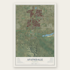
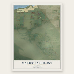
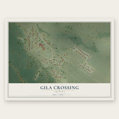
More maps nearby: Liberty, Santa Cruz, Komatke, Laveen and Tolleson.
The art of mapping a place
How This Map Was Made
Real places. Remarkable detail. Discover the layers that turn geographic data into a map of home.

The view from above
Aerial imagery reveals the character of the land: woodland, open fields, and the patterns of a place.

The shape of the land
Elevation data brings hills, valleys, and subtle changes in the landscape into view.

The details of home
Roads, waterways, and building footprints come together to make the map feel unmistakably local.

Geography becomes art
Considered color, shading, and typography bring the layers together in a map made for your wall.


Process illustrated with Mendon, Massachusetts. Aerial imagery: USDA NAIP. Terrain: USGS 3D Elevation Program. Map details and finished artwork: KNOWOL.
The Details
About This Print
Choose an archival matte print, or a black or white Ayous wood frame. The archival matte print is unframed.
Select your size and finish above to see the matching product image and price.
Materials & Craftsmanship
A contemporary map with the character of a classic atlas, printed on archival matte paper. Optional frames are made from Ayous wood.
Your printed map does not include the watermark shown in the full-map preview.
Shipping & Delivery
Free shipping within the United States. Every print is made to order in the USA.
Buying a gift? Add a note in your cart and we'll include it. We never put prices in the package.
Prints ship within 2 to 3 business days. Allow 7 to 10 days total from ordering for delivery. Timing may vary during holidays or periods of high order volume.
Read our shipping policy.
Returns and damaged prints
Each print is made to order. Change-of-mind refunds are not available after production.
If your print arrives damaged, misprinted or incorrect, contact support@knowol.com within 30 days of receiving it. Include your order number, photos and a description of the issue.
Read our full refund and replacement policy. For questions about your order, email support@knowol.com.