
Search for another town
Free U.S. delivery 7 to 10 days after you order
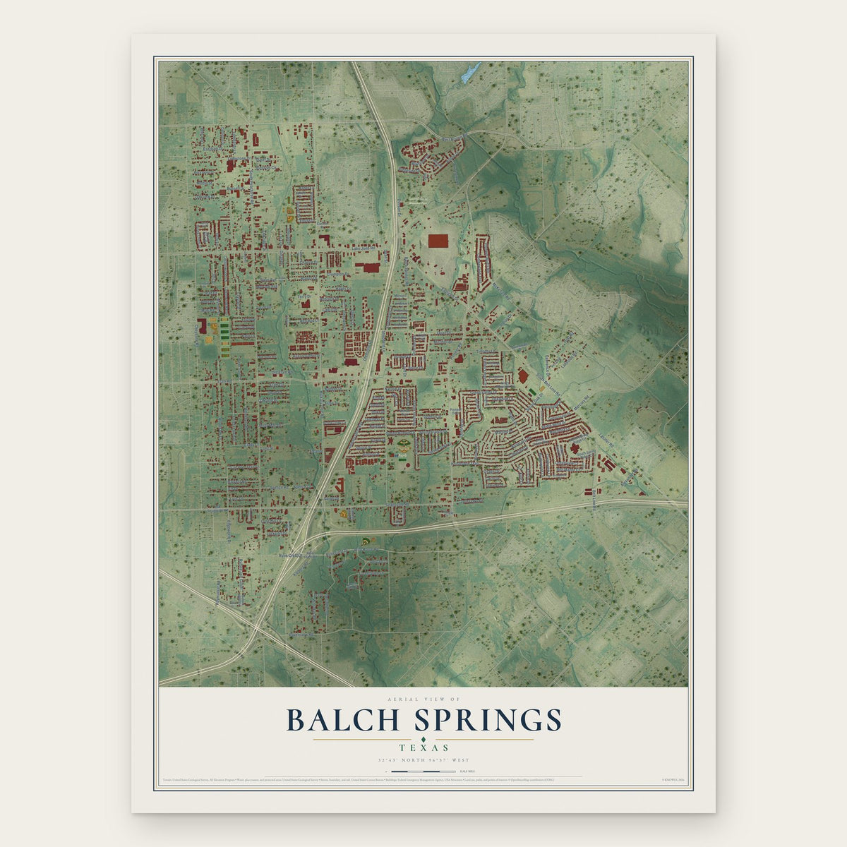
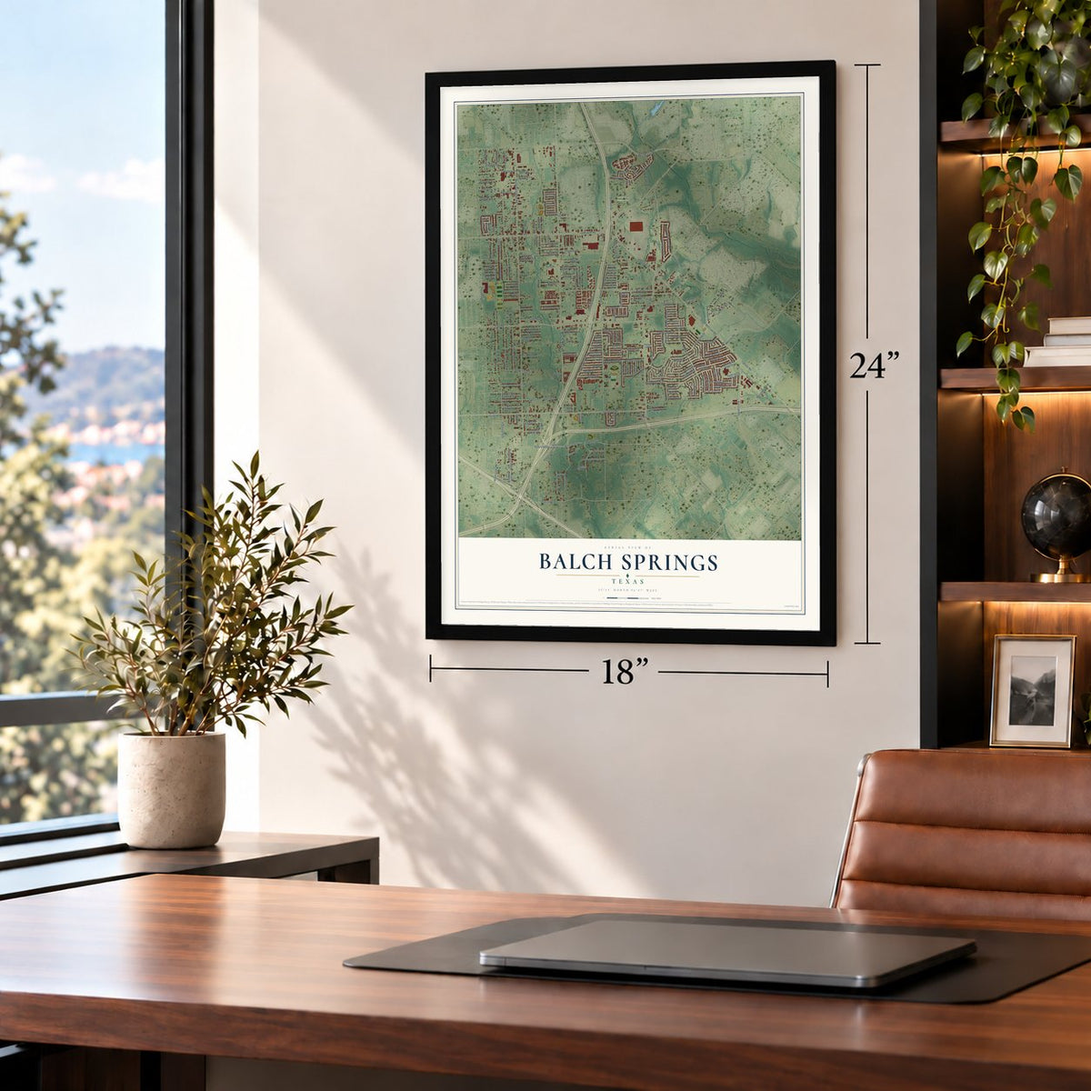
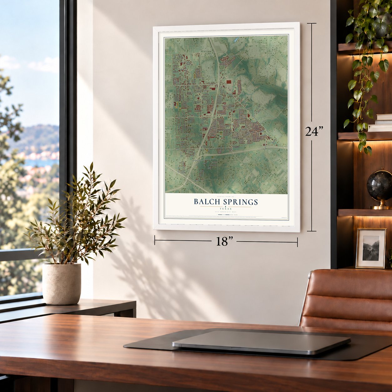
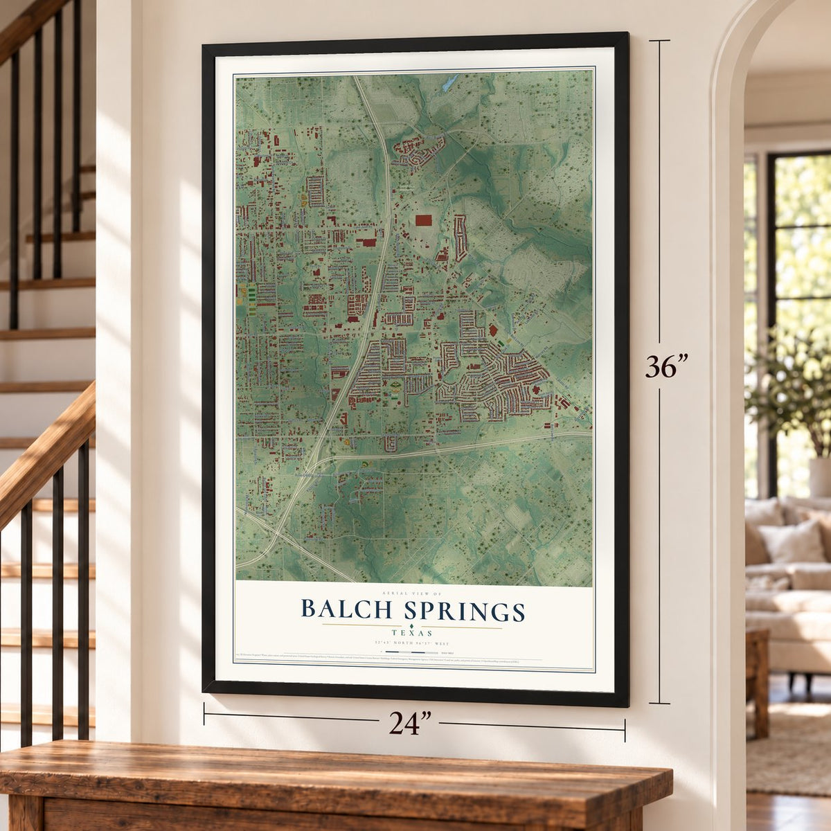
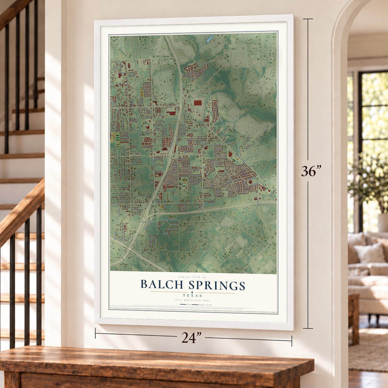
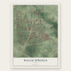
Balch Springs, Texas Map Art
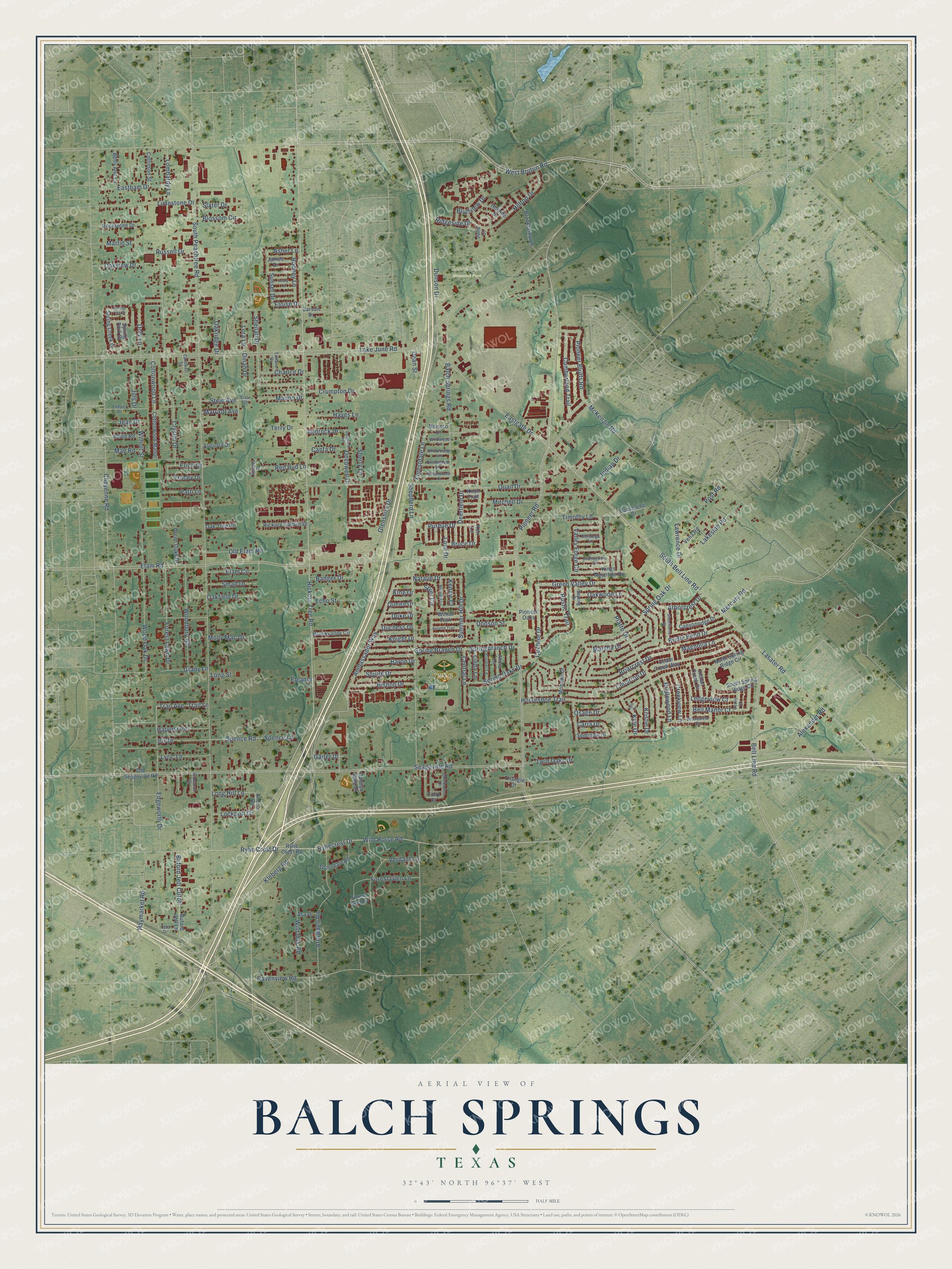
Building by building, with labeled streets and shaded relief.
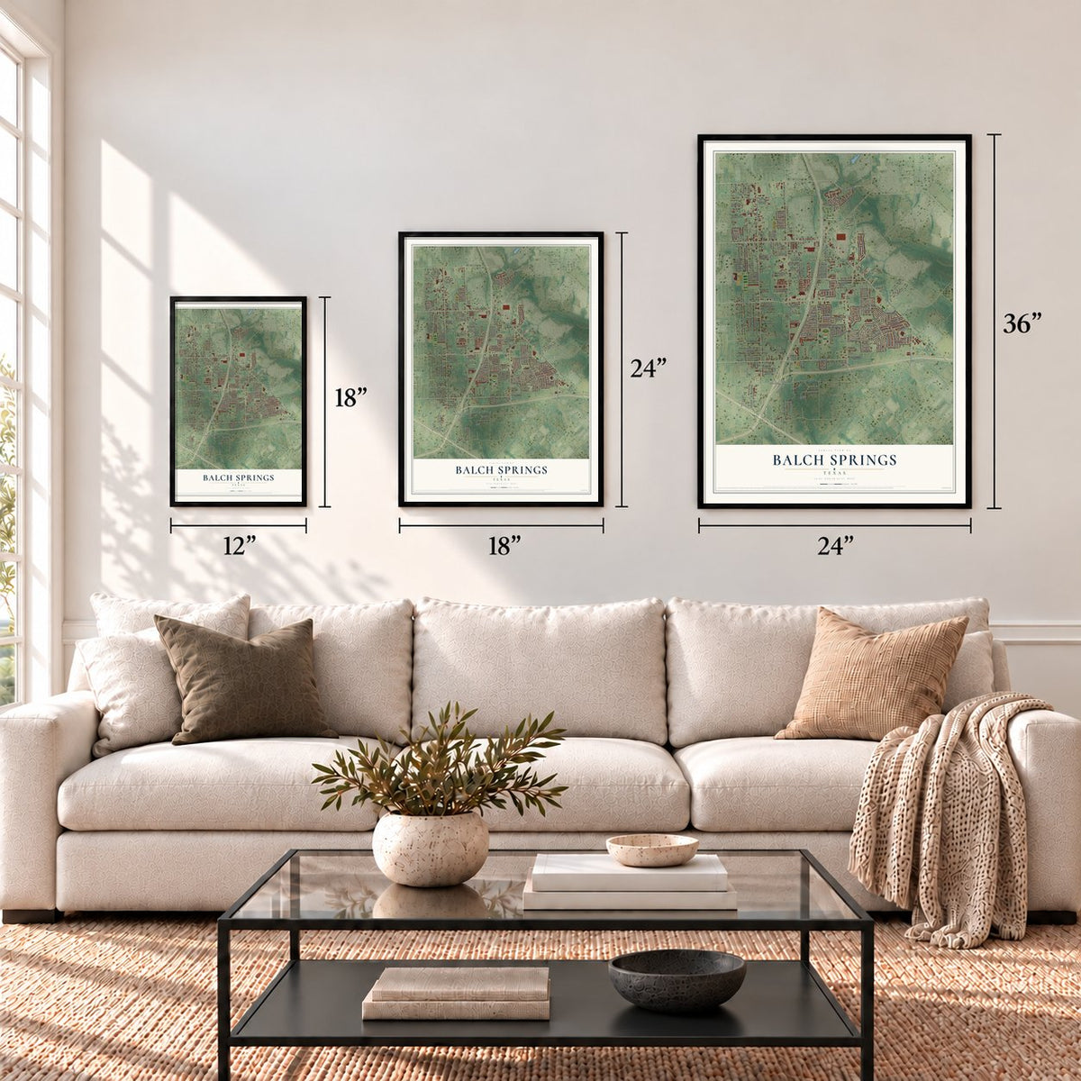
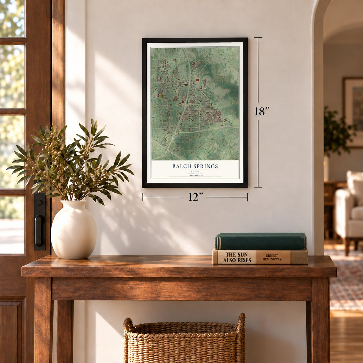
12" x 18" Archival Matte Print
A Map of Home. A Work of Art.
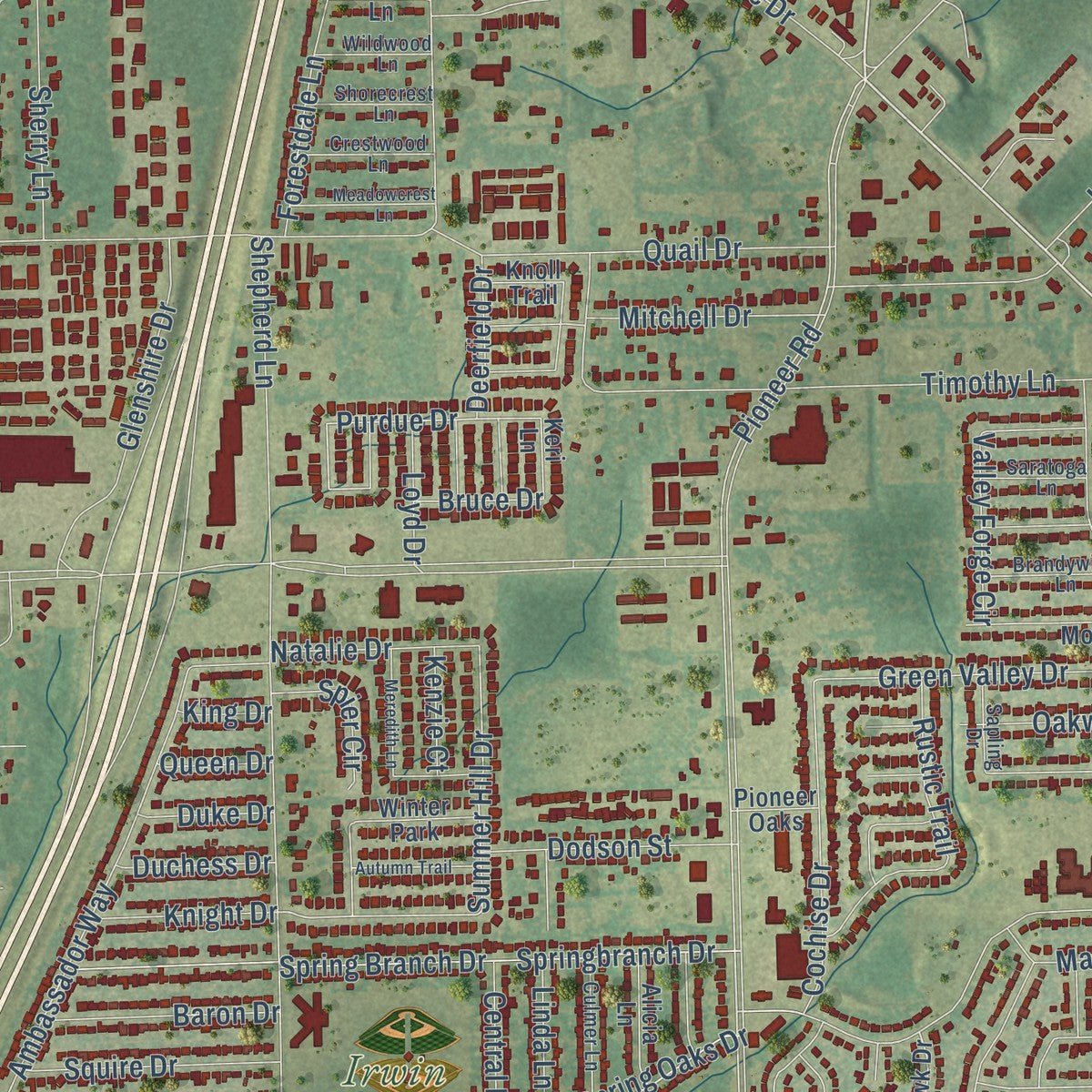
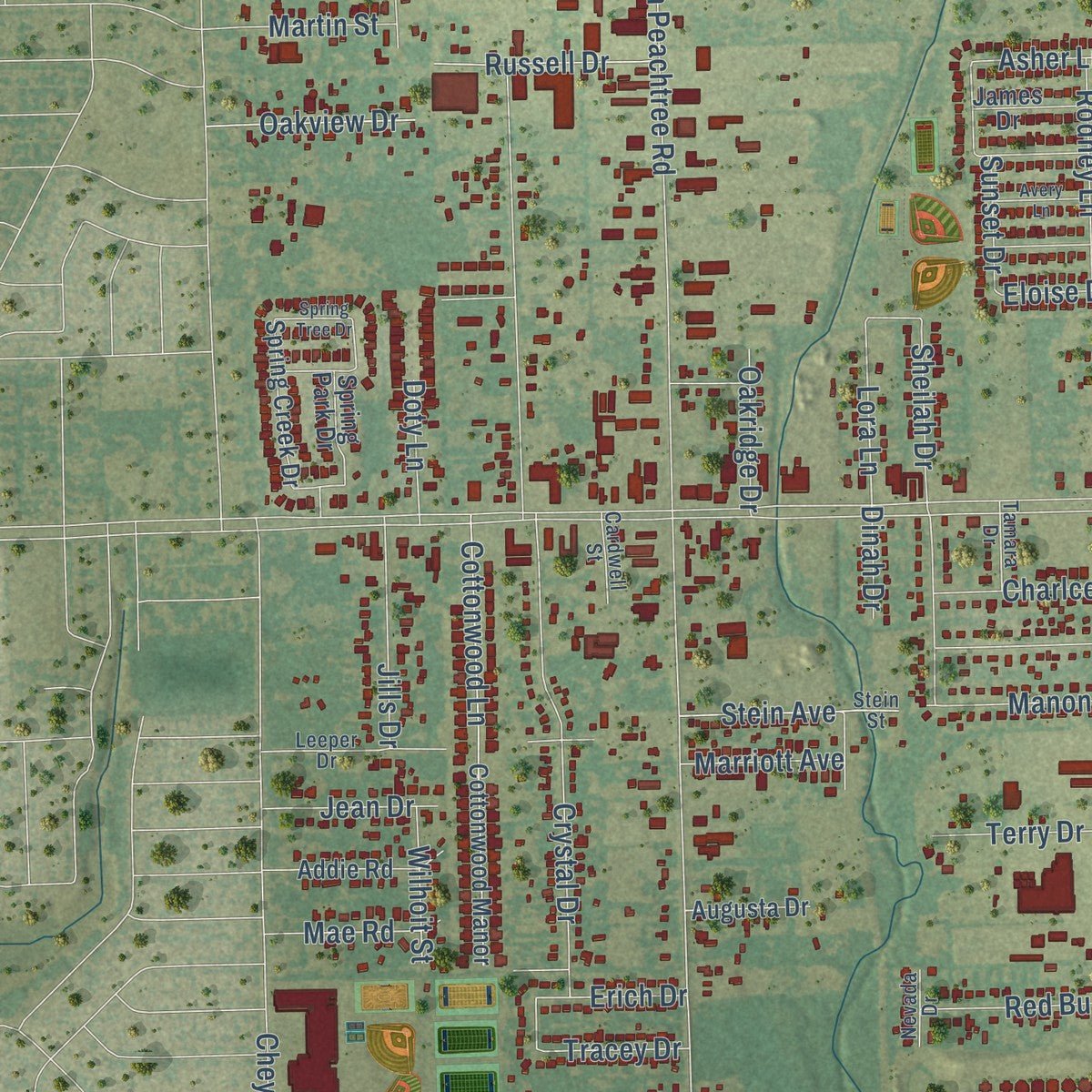
Explore Balch Springs, Texas from a whole new perspective. Created using aerial imagery and detailed geographic data, this map captures Balch Springs building by building, with labeled streets, familiar landmarks, and shaded topographical relief that highlights the natural contours of the landscape.
Combining modern data with the timeless character of a vintage atlas, this map is just as interesting up close as it is beautiful on the wall. Whether you grew up in Balch Springs, spent memorable years there, or call it home today, this unique map is a great way to celebrate a place that means something to you. Zoom in on the preview to look for your street, and then order a print to put your memories on the wall.
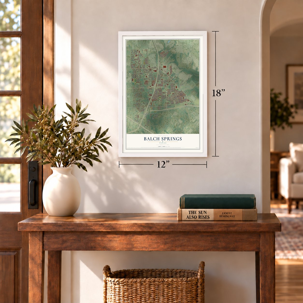
Three ways to hang it
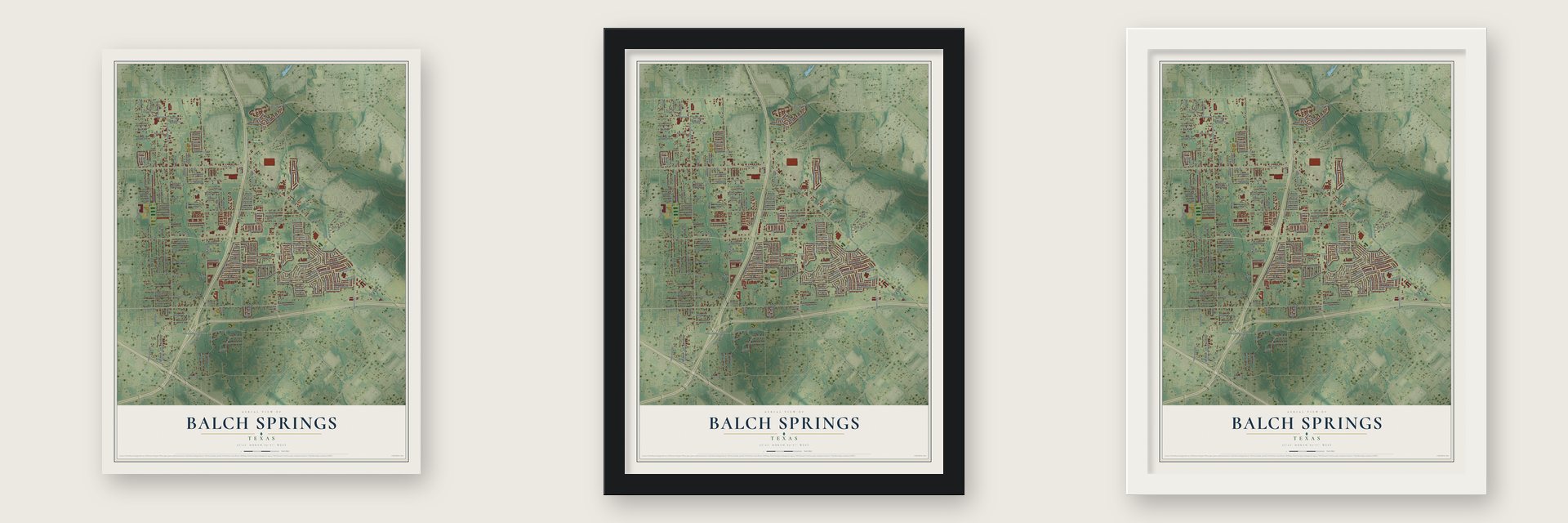
Unframed archival matte, a black wood frame or a white wood frame.
Up close
Geography Worth Displaying
This map was created using accurate cartographic data and authoritative geographic sources, including the U.S. Geological Survey and the Census Bureau. The map brings together terrain, waterways, roads, and building detail. The majority of the streets are labeled, houses are accurately depicted, and the topography is derived from government sources. Combining local data with carefully composed color and shading leads to this beautifully detailed Balch Springs artwork for your wall.
Rather than simply showing street outlines, we’ve included as many of the street names as we could reasonably fit on the map while keeping their names legible. Zoom in on the high resolution preview to see exactly what’s on the map. We truly set out to create a statement piece for anyone who loves Balch Springs. So whether it’s for you, or a gift for someone you love, we hope this map of Balch Springs brings back fond memories.
Read the story behind this map of Balch Springs, Texas from 2026.
Find your street
Names on the Balch Springs map
Every name below is printed on this map. Look for your street, your school, the park where you played, or the pond down the road.
Places and landmarks3
- Irwin Park
- Laurel Oaks Memorial Park
- Winter Park
Streets and roads219
- South Belt Line Road
- Hickory Tree Road
- West Bruton Road
- Buford Jett Cutoff
- Magnolia Lane
- South Peachtree Road
- Seagoville Road
- Pioneer Road
- Purdue Drive
- Lora Lane
- Lasater Road
- Summer Hill Drive
- Belt Line Road
- Oakview Drive
- Lake June Road
- Elam Road
- Shepherd Lane
- McKenzie Road
- Quail Drive
- Rylie Crest Drive
- Spring Oak Drive
- Mercury Road
- Kleberg Road
- Platte Drive
- Ambassador Way
- Crystal Drive
- Wild Horse Road
- Oakwood Lane
- Marsha Drive
- Edgeworth Drive
Show all 219 streets
- Balch Springs Road
- Timothy Lane
- Spring Branch Drive
- Springbranch Drive
- Eastgate Drive
- Wood Oak Drive
- Horseshoe Trail
- Arrowdell Road
- Cimarron Drive
- Cochise Drive
- Spring Oaks Drive
- Hilltop Drive
- Woodbury Road
- Pioneer Bluffs Road
- Forest Lawn Drive
- Cottonwood Lane
- Briarcrest Drive
- Crumpton Drive
- Limestone Drive
- Lakeside Road
- Green Valley Drive
- Sheilah Drive
- Iris Drive
- Harvest Road
- Old Elam Road
- Cumberland Trail
- Glenshire Drive
- Forest Glen Lane
- Spence Lane
- Spence Road
- Arborcrest Drive
- Post Road
- Osage Drive
- Rustic Trail
- Haymarket Road
- Ryliecrest Drive
- Ravenview Road
- Grady Lane
- Trail Avenue
- Trail Lane
- Eastham Drive
- Valley Forge Circle
- Bishop Drive
- Central Lane
- Lawrence Drive
- Elam Circle
- Bridle Bend Drive
- Squire Drive
- Badger Drive
- Blossom Circle
- Alexander Road
- Dodson Street
- Bell Manor Court
- Forestdale Lane
- Indian Drive
- Sherry Lane
- Lombardy Lane
- Mitchell Drive
- Deepwell Drive
- Baron Drive
- Hayes Lane
- Rodney Lane
- Jills Drive
- Lyric Lane
- Linda Lane
- Russell Drive
- Sunset Drive
- Red Bud Lane
- Twin Oaks Drive
- Dunson Drive
- Molly Mac Drive
- Stein Avenue
- Small Drive
- Oakfield Drive
- Wild Oak Road
- Creekview Lane
- Cheyenne Road
- Manon Drive
- Kristie Drive
- Natalie Drive
- Ledgeview Court
- Bluffview Drive
- Bridlewood Lane
- Terry Drive
- Echo Street
- Tracey Drive
- Androck Drive
- Charlce Drive
- Slater Drive
- Knight Drive
- Canfa Drive
- Long Hill Lane
- Lockport Drive
- Kyle Drive
- Patti Lane
- Spier Circle
- Carla Drive
- Oakridge Drive
- Deerfield Drive
- Marriott Avenue
- Ridgeside Drive
- Duchess Drive
- Wilhoit Street
- Martin Street
- Erich Drive
- Doty Lane
- Verdant Lane
- Asher Lane
- Loyd Drive
- Jean Drive
- Mae Road
- Gaiter Drive
- Duke Drive
- Dean Street
- Eloise Drive
- Bruce Drive
- Kenzie Court
- Queen Drive
- Dinah Drive
- Long Street
- Eleanor
- King Drive
- Buford Jett Lane
- North Spring Ridge Circle
- South Spring Ridge Circle
- Keri Lane
- Anchor Road
- Cottonwood Manor
- Cedar Creek Way
- Brooksview Lane
- Seminole Drive
- Rylie Crest Road
- Kings Mountain Drive
- Thorndale Road
- Hickory Garden Drive
- Canyonridge Drive
- Brookvalley Circle
- Green Oaks Drive
- Mohawk Drive
- Spring Creek Drive
- Knoll Trail
- Betty Ann Lane
- Collinson Street
- Rockstone Drive
- Addie Road
- Old Seagoville Road
- Oak Tree Road
- Alicia Lane
- Indian Creek Drive
- Hillside Drive
- Vena Road
- Augusta Drive
- Comanche Drive
- Spring Park Drive
- James Drive
- Triangle Drive
- Monaco Lane
- Carson Drive
- Carolyn Jean Drive
- Forest Glen Court
- Asa Drive
- Pioneer Oaks
- Tulip Court
- Julie Court
- Stein Street
- Leeper Drive
- Broadview Drive
- Culmer Lane
- Crestwood Lane
- Brandywine Lane
- Chickadee Drive
- Shorecrest Lane
- Wildwood Lane
- Saratoga Lane
- Leslie Lane
- Sapling Drive
- Cardwell Street
- Tamara Drive
- Rimwood Drive
- Leta Drive
- Nevada Drive
- Spring Tree Drive
- Deepwell Road
- Meadowcrest Lane
- Silverthorne Drive
- Autumn Trail
- Meredith Lane
- Avery Lane
- Kyle Circle
Names are listed as they appear on the printed map. Zoom into the product photos to find them.
About Balch Springs, Texas
Balch Springs is a city in Dallas County, and the 2020 census recorded 27,685 residents.
- The 2020 countThe census recorded 27,685 residents in Balch Springs.
- Beginnings in 1870Historical accounts date the community's beginnings to 1870.
- The name's sourceResidents called the springs on Mr. Balch's property Balch Springs, and the name stayed after he moved away.
Keep exploring Texas
Balch Springs is one of 2,049 Texas towns we've mapped. Every dot on the map is a print of its own.
The search covers every state, Texas first.
Near Balch Springs
Order 2 or more town maps and save 10%. Shown in the size and finish you picked above, so they hang as a set.
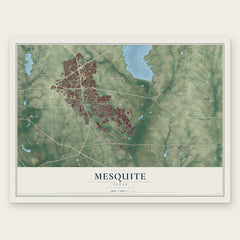
- Mesquite 12" x 18" / Archival Matte Print $39.99
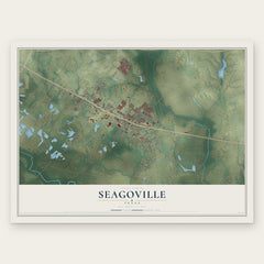
- Seagoville 12" x 18" / Archival Matte Print $39.99
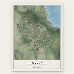
- Sunnyvale 12" x 18" / Archival Matte Print $39.99
More maps nearby: Hutchins, Wilmer, Forney, Travis Ranch and Heartland.
The art of mapping a place
How This Map Was Made
Real places. Remarkable detail. Discover the layers that turn geographic data into a map of home.

The view from above
Aerial imagery reveals the character of the land: woodland, open fields, and the patterns of a place.

The shape of the land
Elevation data brings hills, valleys, and subtle changes in the landscape into view.

The details of home
Roads, waterways, and building footprints come together to make the map feel unmistakably local.

Geography becomes art
Considered color, shading, and typography bring the layers together in a map made for your wall.


Process illustrated with Mendon, Massachusetts. Aerial imagery: USDA NAIP. Terrain: USGS 3D Elevation Program. Map details and finished artwork: KNOWOL.
The Details
About This Print
Choose an archival matte print, or a black or white Ayous wood frame. The archival matte print is unframed.
Select your size and finish above to see the matching product image and price.
Materials & Craftsmanship
A contemporary map with the character of a classic atlas, printed on archival matte paper. Optional frames are made from Ayous wood.
Your printed map does not include the watermark shown in the full-map preview.
Shipping & Delivery
Free shipping within the United States. Every print is made to order in the USA.
Buying a gift? Add a note in your cart and we'll include it. We never put prices in the package.
Prints ship within 2 to 3 business days. Allow 7 to 10 days total from ordering for delivery. Timing may vary during holidays or periods of high order volume.
Read our shipping policy.
Returns and damaged prints
Each print is made to order. Change-of-mind refunds are not available after production.
If your print arrives damaged, misprinted or incorrect, contact support@knowol.com within 30 days of receiving it. Include your order number, photos and a description of the issue.
Read our full refund and replacement policy. For questions about your order, email support@knowol.com.