
Search for another town

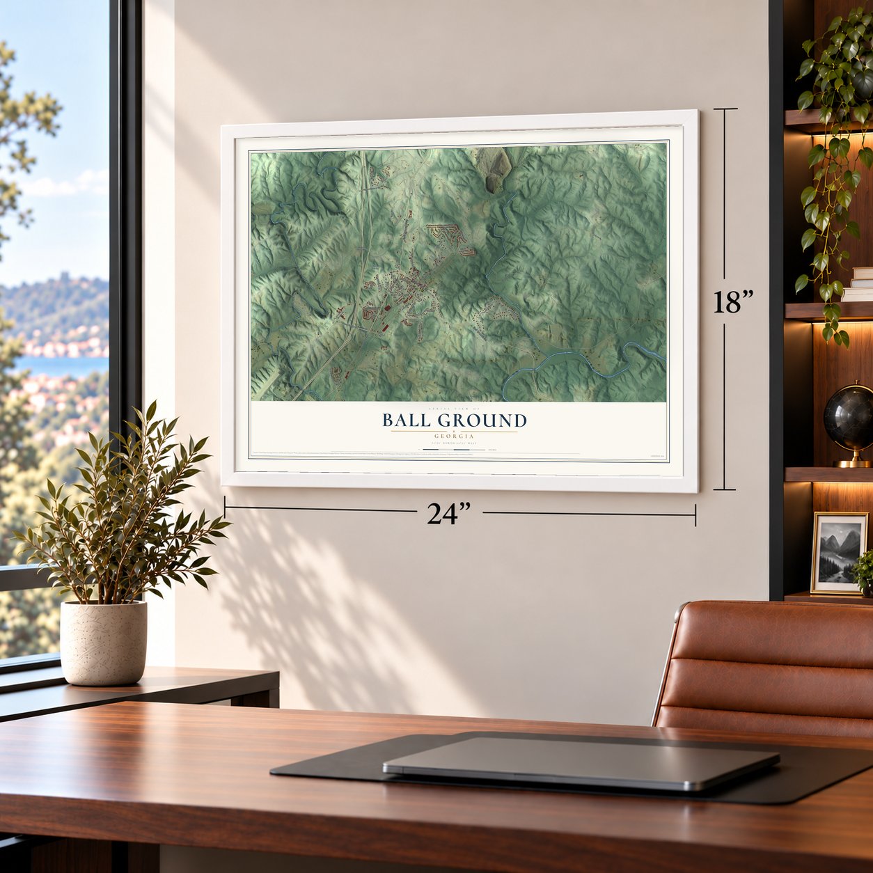

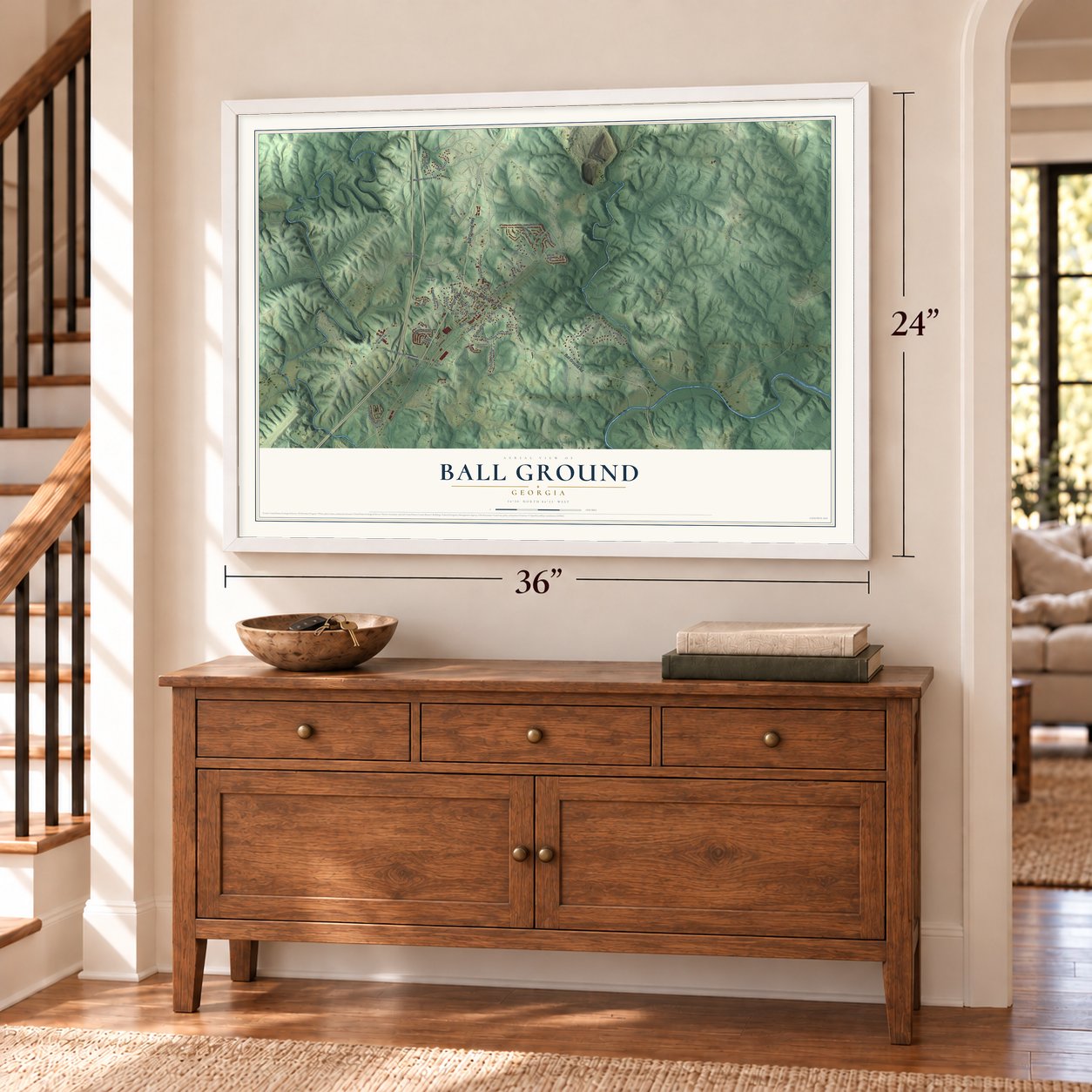
Free U.S. delivery 7 to 10 days after you order
Ball Ground, Georgia Map Art
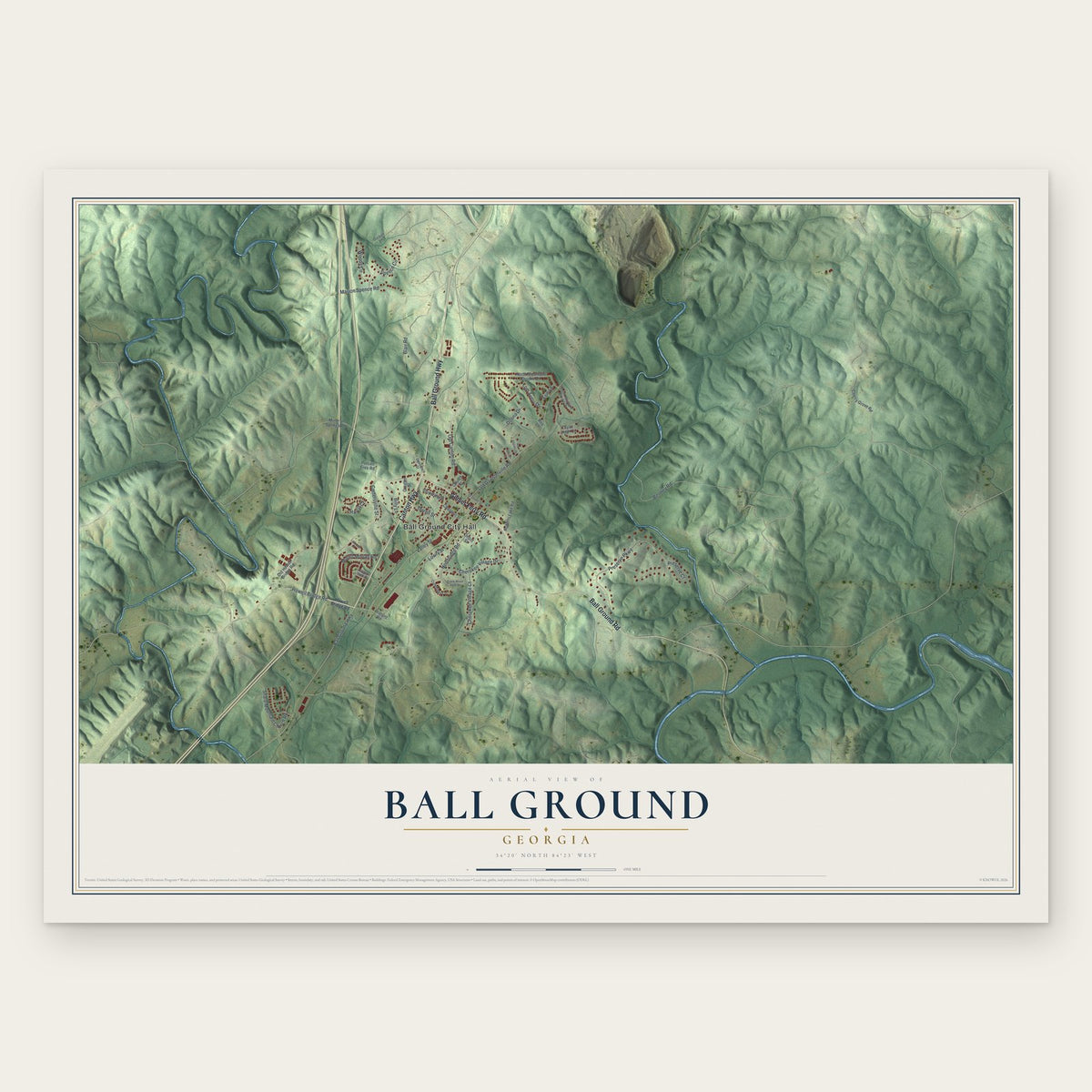
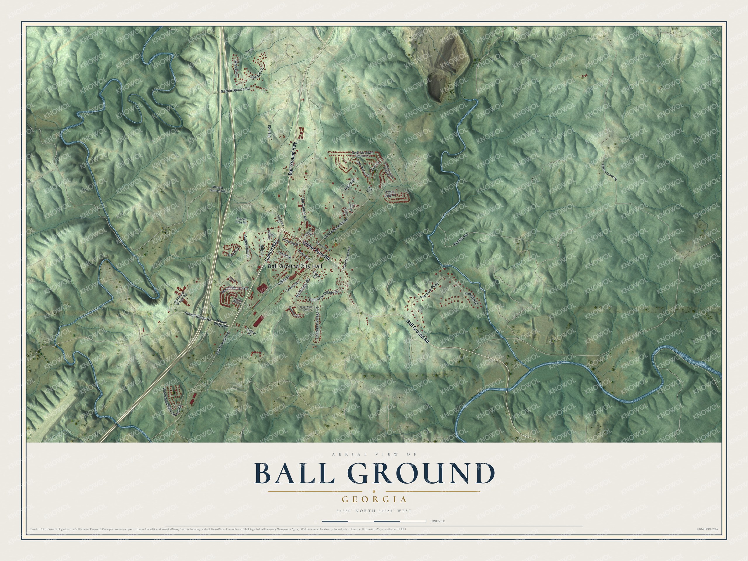
A new map of Ball Ground, Georgia, made in 2026 and printed to order on thick archival matte paper.
12" x 18" Archival Matte Print
A Map of Home. A Work of Art.
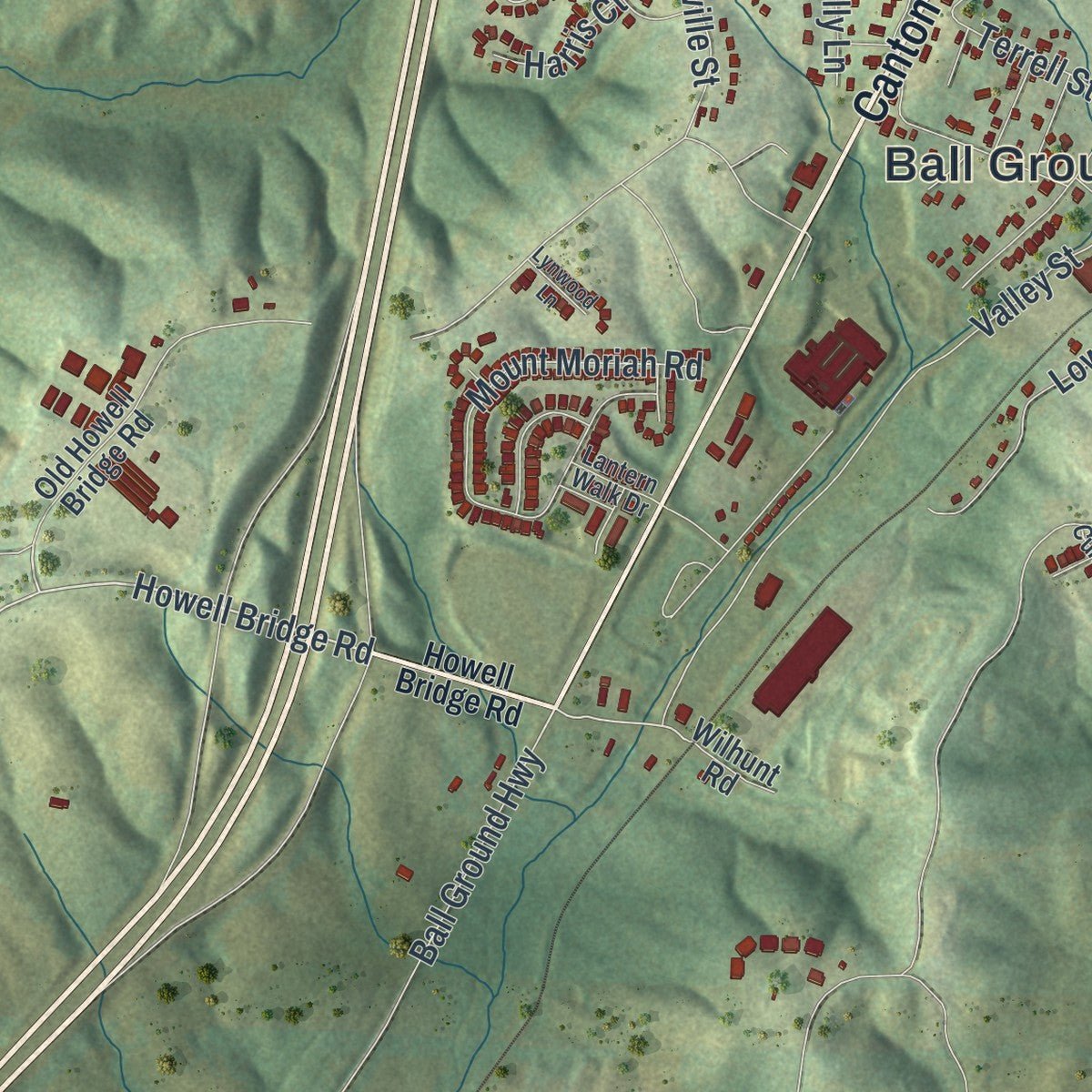
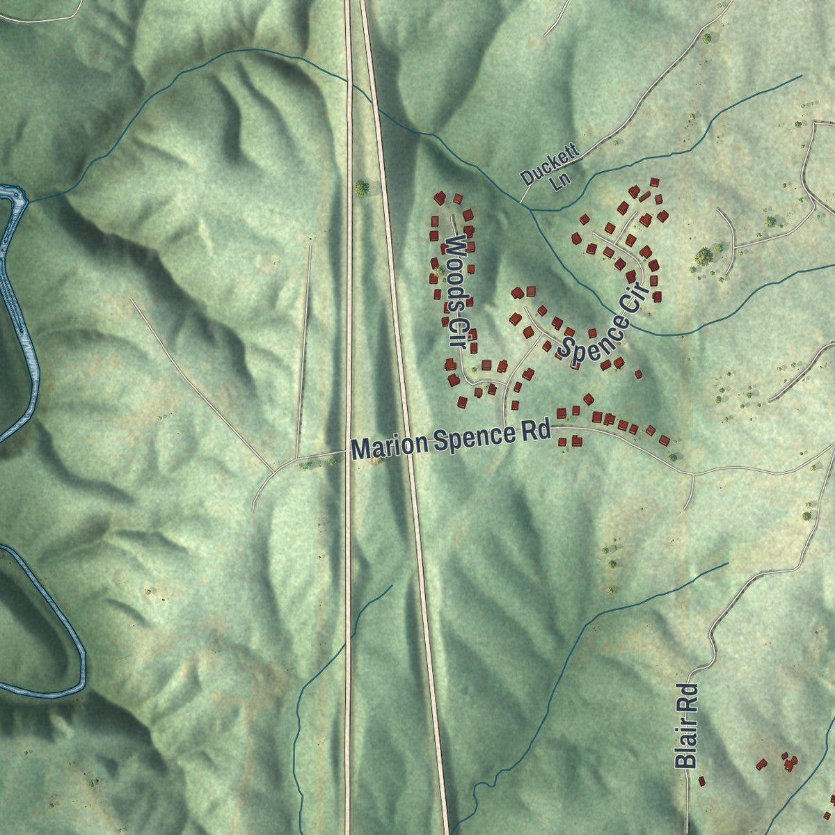
Explore Ball Ground, Georgia from a whole new perspective. Created using aerial imagery and detailed geographic data, this map captures Ball Ground building by building, with labeled streets, familiar landmarks, and shaded topographical relief that highlights the natural contours of the landscape.
Combining modern data with the timeless character of a vintage atlas, this map is just as interesting up close as it is beautiful on the wall. Whether you grew up in Ball Ground, spent memorable years there, or call it home today, this unique map is a great way to celebrate a place that means something to you. Zoom in on the preview to look for your street, and then order a print to put your memories on the wall.
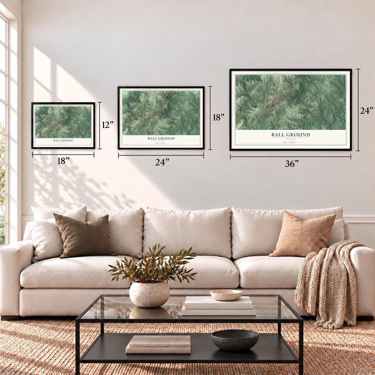
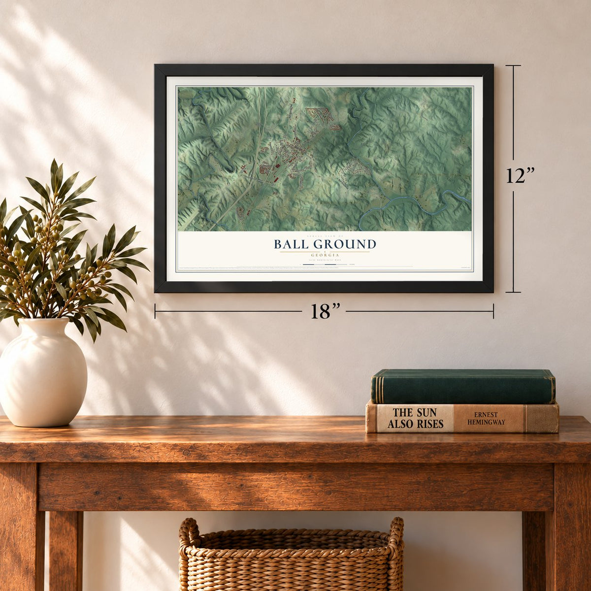
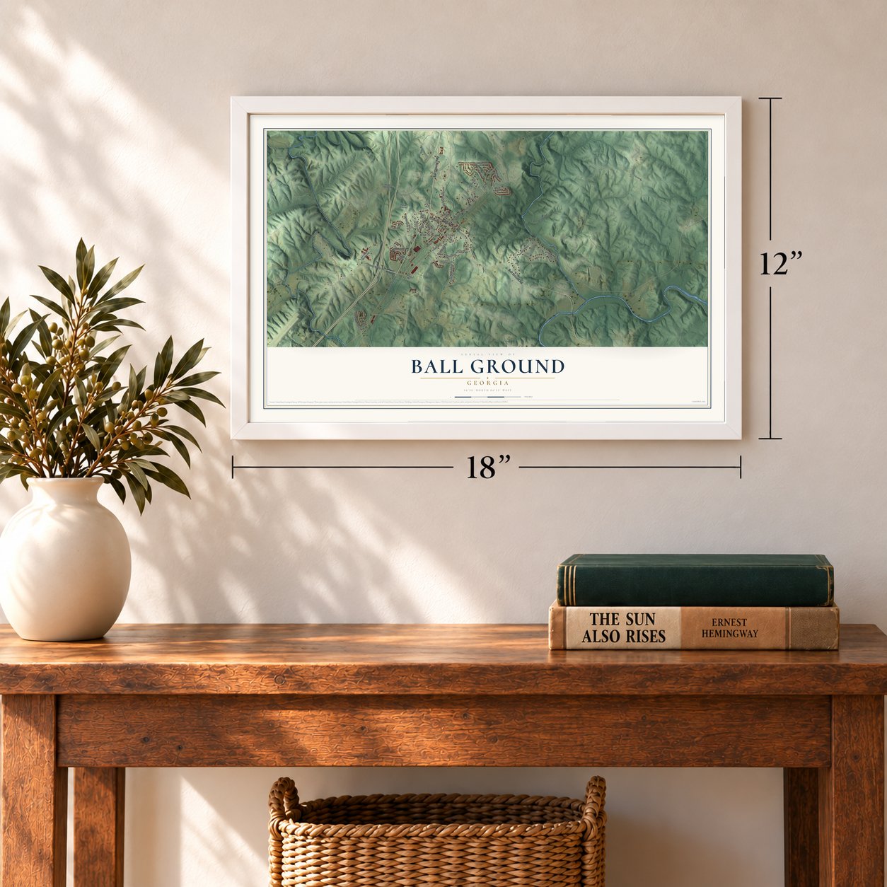
Three ways to hang it
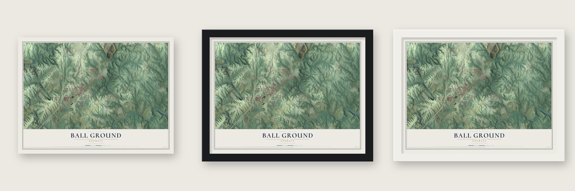
Unframed archival matte, a black wood frame or a white wood frame.
Up close
Geography Worth Displaying
This map was created using accurate cartographic data and authoritative geographic sources, including the U.S. Geological Survey (USGS) and FEMA. The map brings together terrain, waterways, roads, and building detail. The majority of the streets are labeled, houses are accurately depicted, and the topography is derived from government sources. Combining local data with carefully composed color and shading leads to this beautifully detailed Ball Ground artwork for your wall.
Rather than simply showing street outlines, we’ve included as many of the street names as we could reasonably fit on the map while keeping their names legible. Zoom in on the high resolution preview to see exactly what’s on the map. We truly set out to create a statement piece for anyone who loves Ball Ground. So whether it’s for you, or a gift for someone you love, we hope this map of Ball Ground brings back fond memories.
Explore the full map of Ball Ground, Georgia and read about the local places it shows.

About Ball Ground, Georgia
Ball Ground is a city of 2,560 people in Cherokee County, in the foothills of the North Georgia mountains. This was Cherokee land until the 1830s, when the Cherokee were forced west and Georgia gave the ground to white settlers through the Land Lotteries of 1832. The settlers named a stretch of land for the ball game Native Americans played on it, and by 1847 the area had its own post office.
Chain gangs graded the Marietta and North Georgia Railroad through Ball Ground in 1881, and the finished track ended at a new depot here in 1882. At the time the place had only six homes and two country stores. Thirteen nearby landowners then donated land to build a town around the depot. It was divided into 200 lots and auctioned on April 18, 1883, the Georgia General Assembly chartered the town that September 27, and by 1884 about 300 people lived there.
“The consideration moving each of us in the establishing of this town is the enhanced value to our lands within and adjacent to the said town, and the general benefit to the country, by which we shall be benefited.”
- The Battle of Taliwa, 1755The Cherokee and the Muscogee Creek both lived on this land until 1755, when the two nations fought the Battle of Taliwa on the ground where the city now stands. The Cherokee won, and the Creek were driven out of the territory.
- A marble townThe railroad carried marble down from Tate to be cut and finished in Ball Ground. The city's first marble company opened in 1898, and by the 1920s four independent finishing mills were at work here. Coca-Cola also ran a bottling plant in town from 1903 until 1933. By 1959 most of the marble trade and the other plants had closed or moved away.
- The Cherokee return in 1972In December 1971 a Channel 11 documentary portrayed Ball Ground as a declining town. Within two weeks merchants organized, and early in 1972 residents formed a community association. Its first event, a spring festival and parade that May, brought a Cherokee Nation delegation back officially for the first time since the 1830s, and two Cherokee teams played stickball. That November the town won the 1972 Stay & See Georgia tourism contest, and the festival ran yearly until 1989.
- From 730 to 2,560New homes started going up in 1997, and the city built a $2.8 million sewer system to serve them, finished in the fall of 2003. In 2017 Universal Alloy Corporation completed a plant here making wing parts for Boeing aircraft, and it now employs more than 500 people. The city grew from 730 people in 2000 to 2,560 in 2020.
Find your street
Names on the Ball Ground map
Every name below is printed on this map. Look for your street, your school, the park where you played, or the pond down the road.
Places and landmarks1
- Ball Ground City Hall
Streets and roads52
- Canton Highway
- Gilmer Ferry Road
- Ball Ground Highway
- Ball Ground Road
- Howell Bridge Road
- Old Dawsonville Road
- Old Canton Road
- Northridge Road
- Preserve Parkway
- Valley Street
- Cartersville Street
- Lowry Street
- Mount Moriah Road
- Bentley Road
- Marion Spence Road
- Sharp Mountain Church Road
- Cherokee Village Drive
- Cherokee Village Court
- Spence Circle
- Tom Avery Drive
- Terrell Street
- Woods Circle
- Erin Lane
- Blair Road
- Preserve Court
- Donna Drive
- Harris Court
- Billy Lane
- Cherry Grove Road
- Old Howell Bridge Road
Show all 52 streets
- North Mountain Brooke Drive
- Mineral Springs Road
- Depot Street
- Strippling Street
- Roberts Lake Road
- Chestnut Street
- Grogan Street
- Purcell Free Road
- Roy Lane
- Church Street
- Taylor Leigh Court
- Wilhunt Road
- Groover Street
- South Mountain Brooke Drive
- Cummings Court
- Densmore Street
- Duckett Lane
- Lantern Walk Drive
- Creek Wood Park Drive
- Roy Haynes Drive
- William Court
- Lynwood Lane
Names are listed as they appear on the printed map. Zoom into the product photos to find them.
The art of mapping a place
How This Map Was Made
Real places. Remarkable detail. Discover the layers that turn geographic data into a map of home.

The view from above
Aerial imagery reveals the character of the land: woodland, open fields, and the patterns of a place.

The shape of the land
Elevation data brings hills, valleys, and subtle changes in the landscape into view.

The details of home
Roads, waterways, and building footprints come together to make the map feel unmistakably local.

Geography becomes art
Considered color, shading, and typography bring the layers together in a map made for your wall.


Process illustrated with Mendon, Massachusetts. Aerial imagery: USDA NAIP. Terrain: USGS 3D Elevation Program. Map details and finished artwork: KNOWOL.
The Details
About This Print
Choose an archival matte print, or a black or white Ayous wood frame. The archival matte print is unframed.
Select your size and finish above to see the matching product image and price.
Materials & Craftsmanship
A contemporary map with the character of a classic atlas, printed on archival matte paper. Optional frames are made from Ayous wood.
Your printed map does not include the watermark shown in the full-map preview.
Shipping & Delivery
Free shipping within the United States. Every print is made to order in the USA.
Buying a gift? Add a note in your cart and we'll include it. We never put prices in the package.
Prints ship within 2 to 3 business days. Allow 7 to 10 days total from ordering for delivery. Timing may vary during holidays or periods of high order volume.
Read our shipping policy.
Returns and damaged prints
Each print is made to order. Change-of-mind refunds are not available after production.
If your print arrives damaged, misprinted or incorrect, contact support@knowol.com within 30 days of receiving it. Include your order number, photos and a description of the issue.
Read our full refund and replacement policy. For questions about your order, email support@knowol.com.
Find your town
Looking for another city?
Find a map of home in our Georgia collection, or any town in the country.
Nearby
Maps of towns near Ball Ground
Know someone from one of these towns? Their map makes a great gift.
 Nelson
, Georgia
From $39.99See the map
 Tate
Tate, Georgia
From $39.99See the map
 Jasper
, Georgia
From $39.99See the map
More maps nearby: Canton, Waleska, Hickory Flat, Holly Springs and Milton.