
Search for another town




Free U.S. delivery 7 to 10 days after you order
Beaufort, South Carolina Map Art
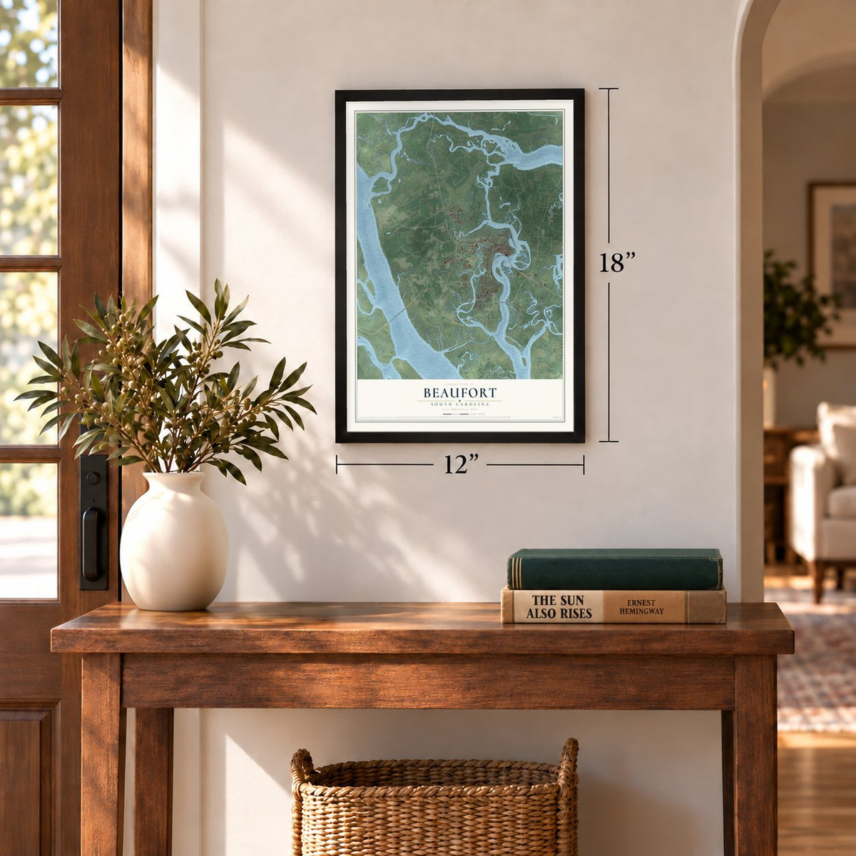
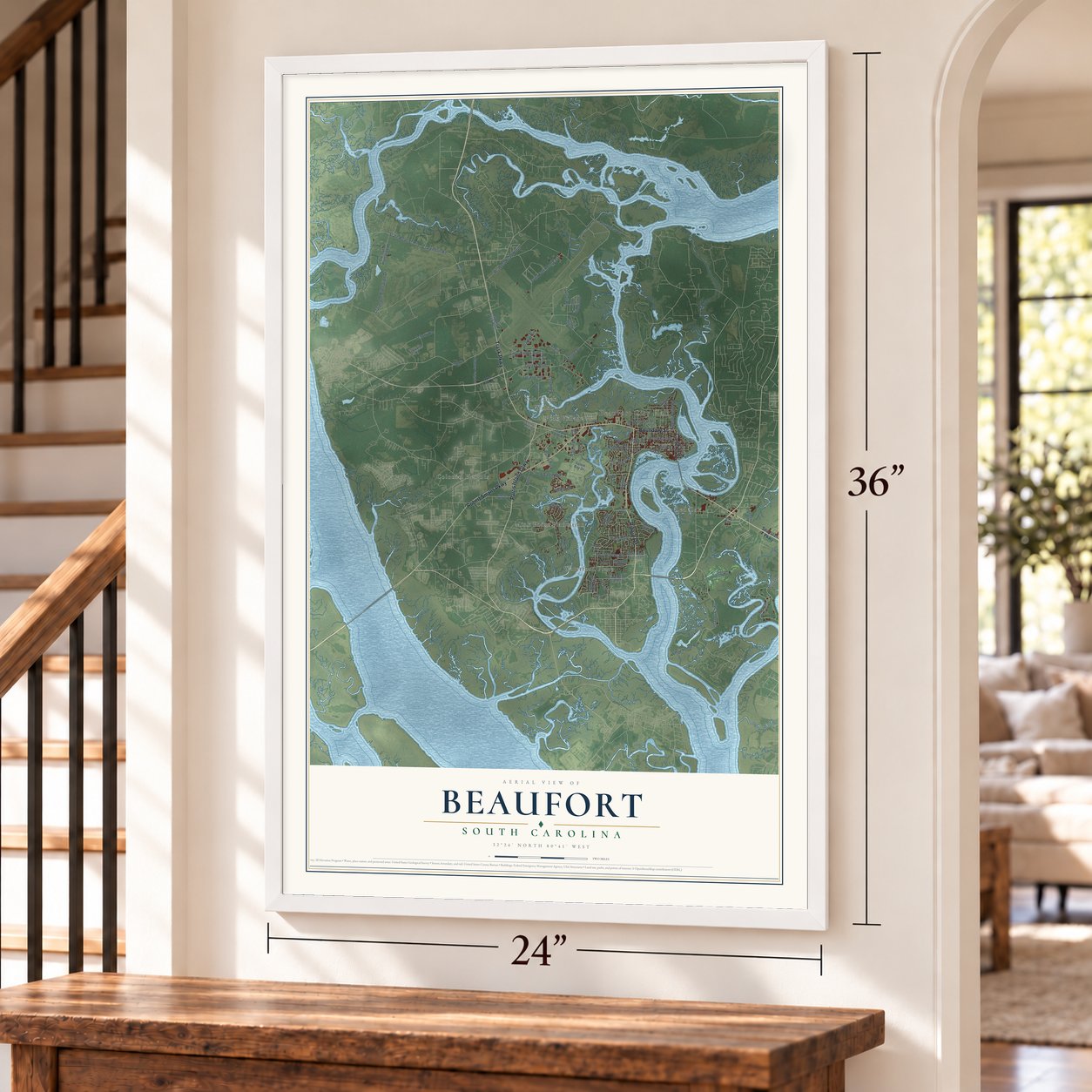
A new map of Beaufort, South Carolina, made in 2026 and printed to order on thick archival matte paper.
12" x 18" Archival Matte Print
A Map of Home. A Work of Art.
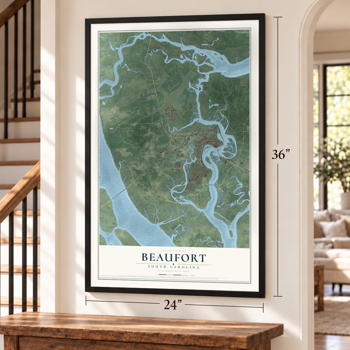
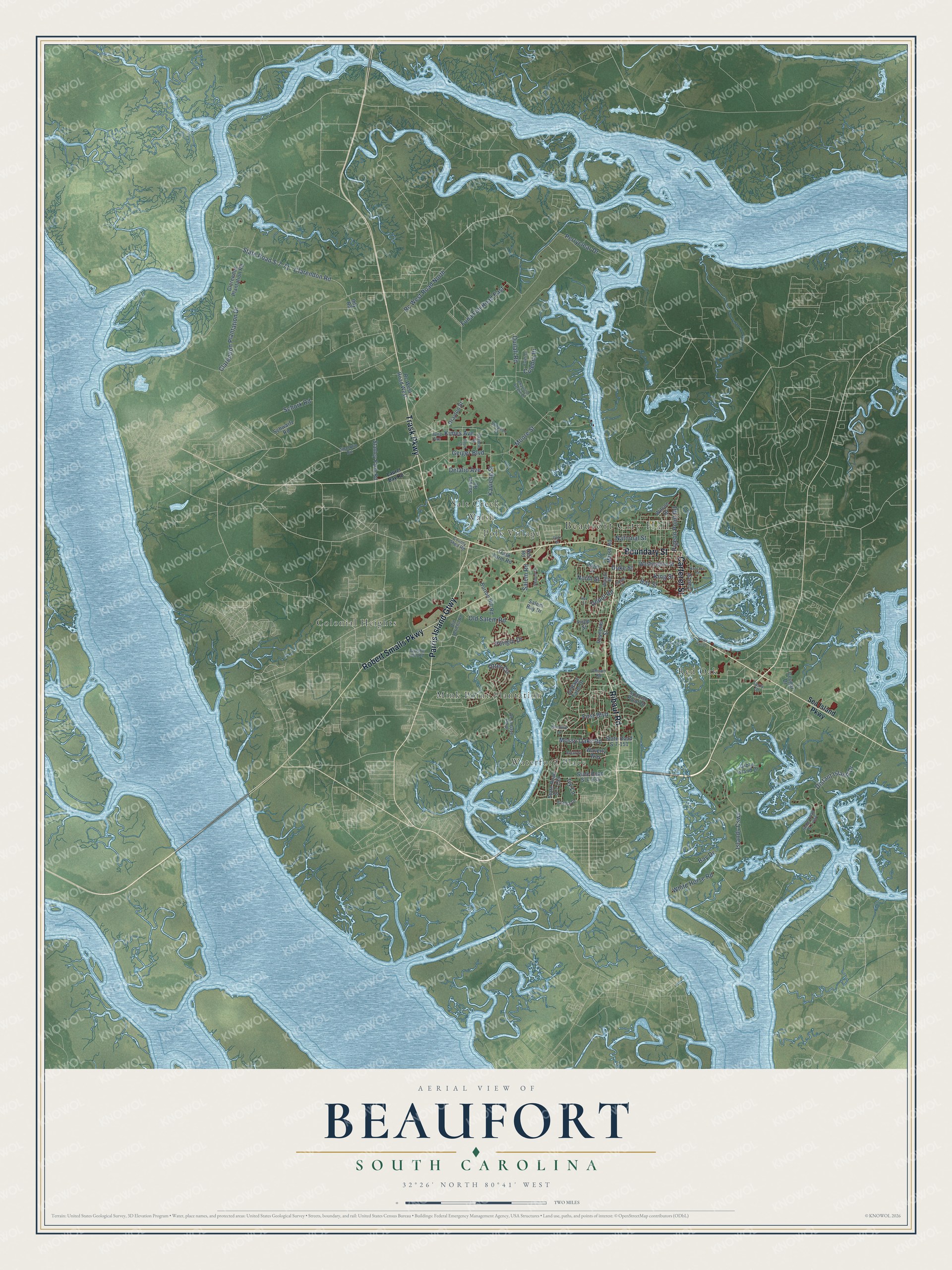
Explore Beaufort, South Carolina from a whole new perspective. Created using aerial imagery and detailed geographic data, this map captures Beaufort building by building, with labeled streets, familiar landmarks, and shaded topographical relief that highlights the natural contours of the landscape.
Combining modern data with the timeless character of a vintage atlas, this map is just as interesting up close as it is beautiful on the wall. Whether you grew up in Beaufort, spent memorable years there, or call it home today, this unique map is a great way to celebrate a place that means something to you. Zoom in on the preview to look for your street, and then order a print to put your memories on the wall.
Three ways to hang it
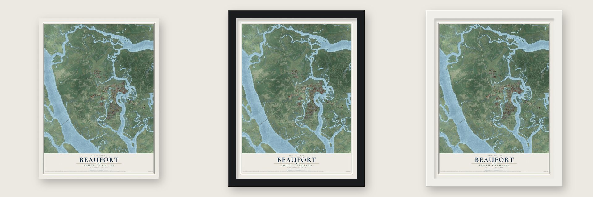
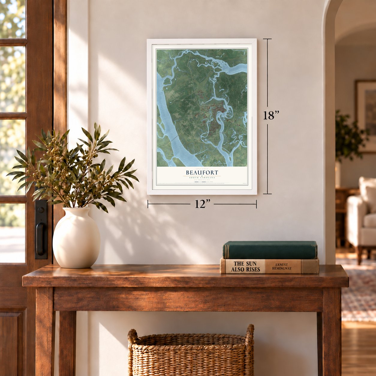
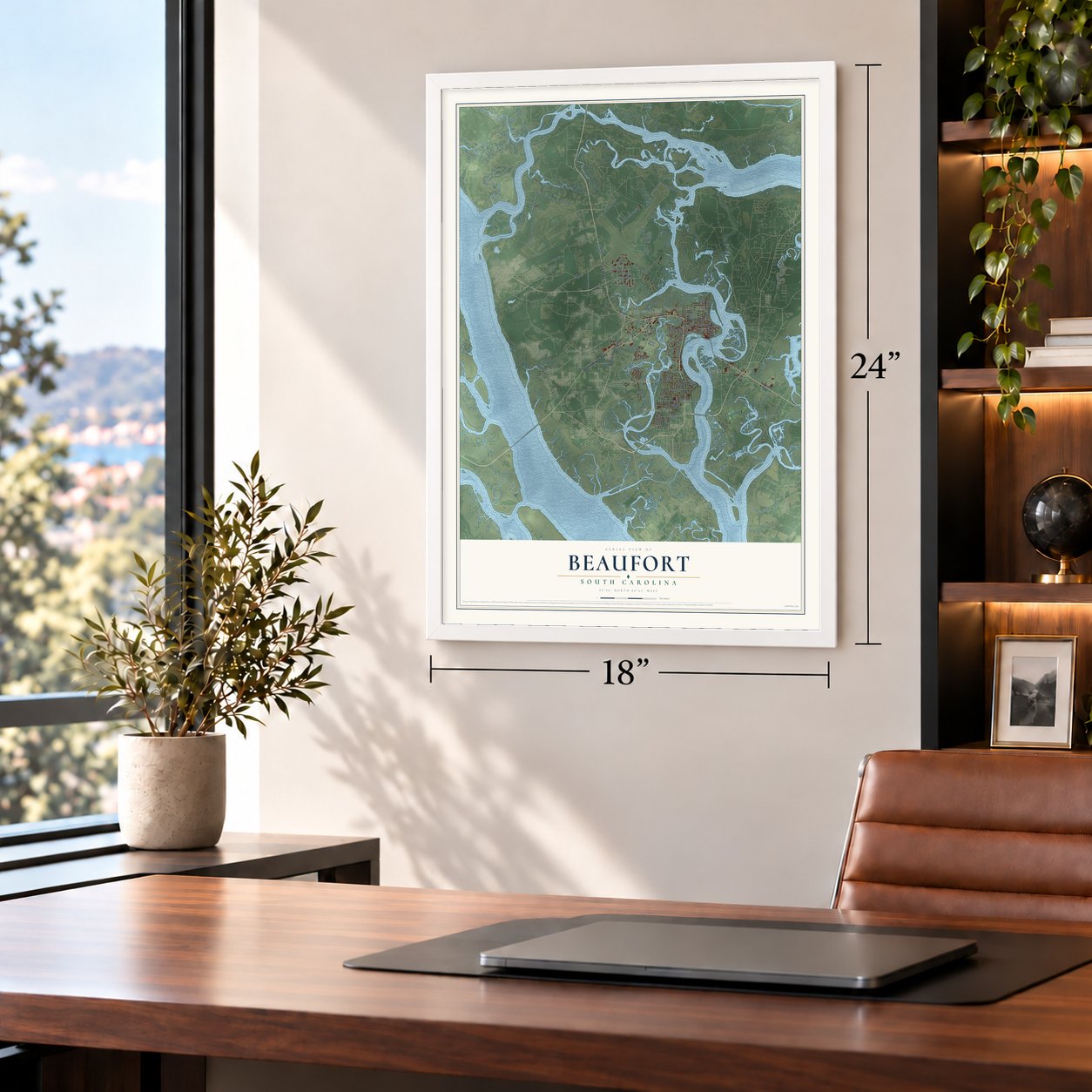
Unframed archival matte, a black wood frame or a white wood frame.
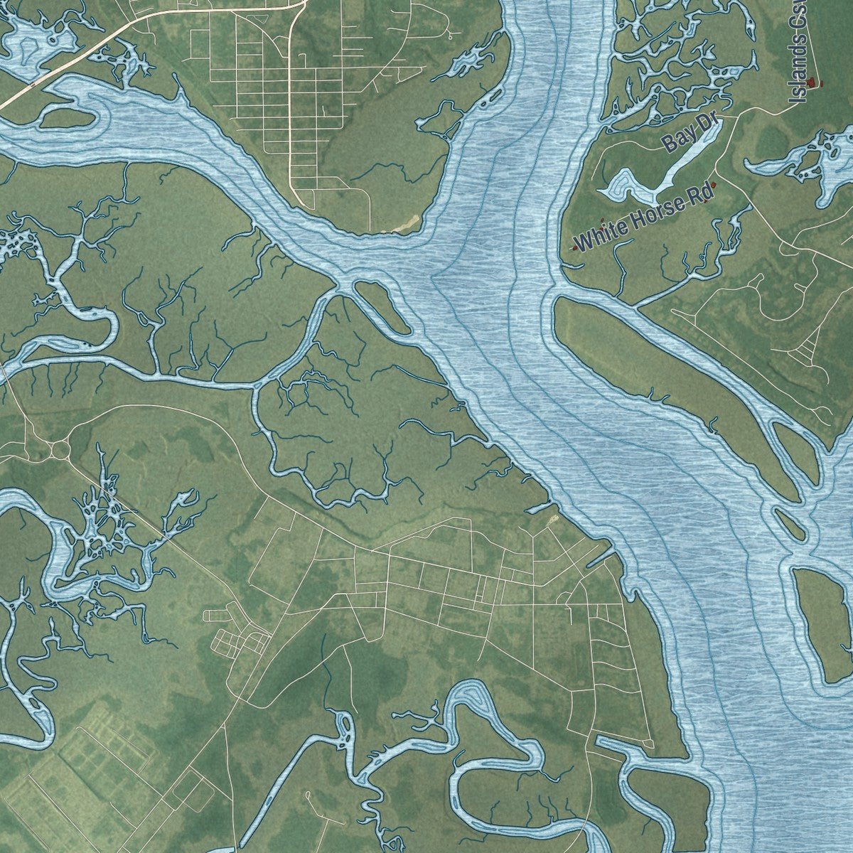
Up close
Geography Worth Displaying
This map was created using accurate cartographic data and authoritative geographic sources, including the U.S. Geological Survey and the Census Bureau. The map brings together terrain, waterways, roads, and building detail. The majority of the streets are labeled, houses are accurately depicted, and the topography is derived from government sources. Combining local data with carefully composed color and shading leads to this beautifully detailed Beaufort artwork for your wall.
Rather than simply showing street outlines, we’ve included as many of the street names as we could reasonably fit on the map while keeping their names legible. Zoom in on the high resolution preview to see exactly what’s on the map. We truly set out to create a statement piece for anyone who loves Beaufort. So whether it’s for you, or a gift for someone you love, we hope this map of Beaufort brings back fond memories.
Read the story behind this map of Beaufort, South Carolina from 2026.

About Beaufort, South Carolina
Beaufort is a city of 13,607 people and the seat of Beaufort County. It sits on Port Royal Island, at the center of the Sea Islands. The Spanish captain Pedro de Salazar explored this coast between 1514 and 1516, and several European attempts at a colony failed here before the British founded Beaufort in 1711. It took its name from Henry Somerset, the 2nd Duke of Beaufort, and only Charleston is an older city in South Carolina.
Raids by Native American tribes and the threat of Spain to the south kept the young town small. It prospered first by building ships, and later as the home of the Lowcountry's wealthy planters, whose fortunes rested on slavery. Union troops took Beaufort months into the Civil War, after the Battle of Port Royal, and people escaping slavery came to the town. The Union declared them free and began teaching them, and the Freedmen's Bureau worked with Black residents through Reconstruction. The Reconstruction Era National Monument, created in 2017, remembers that time.
- Storm of 1893, fire of 1907After the Civil War, Beaufort made its living from phosphate mining. Then a terrible hurricane struck in 1893, and a fire followed in 1907. Together they wrecked much of the town and its economy and held back its growth for close to half a century. New military bases brought the town back, and its population doubled during the 1940s and 1950s as service members and their families arrived.
- Beaufort College, 1795Beaufort College was founded in 1795. The South Carolina Encyclopedia counts it as the second-oldest college in the state.
- 304 acres of landmarkMuch of the old English town survives on the peninsula that reaches into the Beaufort River. A total of 304 acres of it is a National Historic Landmark. The old town divides into five neighborhoods: Downtown, The Bluff, the Northwest Quadrant, The Point and The Old Commons.
- Pat Conroy's townThe novelist Pat Conroy lived in Beaufort for many years and set several of his books here or drew on the town for them. Filmmakers shot The Big Chill, The Great Santini, The Prince of Tides, Forrest Gump and G.I. Jane in the area. Beaufort's Citizens Cemetery is the garden in the title of John Berendt's Midnight in the Garden of Good and Evil.
- Shrimp Festival in OctoberEvery year on the first weekend in October, Beaufort's Shrimp Festival celebrates the shrimping industry that has long worked these waters. In 2007 the Southeast Tourism Society chose it as one of its Top 20 Events.
Find your street
Names on the Beaufort map
Every name below is printed on this map. Look for your street, your school, the park where you played, or the pond down the road.
Places and landmarks8
- Beaufort City Hall
- Colonial Heights
- Mink Point Plantation
- Polk Village
- Red Oak
- Salt Creek
- Walsh
- Waterford Place
Streets and roads90
- Ribaut Road
- Parris Island Gtwy
- Trask Parkway
- Boundary Street
- Carteret Street
- Robert Smalls Parkway
- Islands Causeway
- Quilali Road
- Bay Street
- Mossy Oaks Road
- State Road S-7-71
- Ivy Lane
- Rc West Road North
- Distant Island Drive
- Clarendon Road
- Geiger Boulevard
- North Street
- Kimes Avenue
- Otter Circle
- King Street
- Duke Street
- Moore Street
- Clarendon Plantation Drive
- Funa Futi Road East
- Perryclear Drive
- Pigeon Point Road
- Kavieng Street
- Salem Road
- White Horse Road
- Old Salem Road
Show all 90 streets
- Petigru Drive
- Delalio Avenue
- Bay Drive
- Culebra Drive
- First Boulevard
- Depot Road
- National Street
- Schork Road
- Sea Island Parkway
- Reynolds Street
- State Road S-7-151
- State Road S-7-159
- Rc West Road West
- Drayton Street
- Cottage Farm Drive
- Burton Hill Road
- Spanish Point Drive
- Washington Street
- State Road S-7-233
- Clarendon Plantation Road
- Stanley Farm Road
- Marsh Road
- Schwartz Road
- Gibbs Island Drive
- Salem Bay Drive
- Cougar Drive
- Wilson Drive
- Trask Farm Road
- Sunset Road
- East Street
- Ihly Road
- Waverly Way
- Fripp Street
- Neil Road
- Broome Lane
- County Shed Road
- Allison Road
- State Road S-7-456
- Goethe Hill Road
- Old Jericho Road
- De la Gaye Point
- Shanklin Road
- Gordon Street
- Jung Avenue
- Azalea Drive
- Waight Street
- Water Street
- Simpson Street
- Ferry Drive
- Laurel Bay Road
- Broad Street
- Elrod Street
- Esteli Drive
- Hay Street
- Deanne Drive
- Polk Street
- Simms Street
- Charlotte Amalie Drive
- Hancock Street
- White Hall Drive
Names are listed as they appear on the printed map. Zoom into the product photos to find them.
The art of mapping a place
How This Map Was Made
Real places. Remarkable detail. Discover the layers that turn geographic data into a map of home.

The view from above
Aerial imagery reveals the character of the land: woodland, open fields, and the patterns of a place.

The shape of the land
Elevation data brings hills, valleys, and subtle changes in the landscape into view.

The details of home
Roads, waterways, and building footprints come together to make the map feel unmistakably local.

Geography becomes art
Considered color, shading, and typography bring the layers together in a map made for your wall.


Process illustrated with Mendon, Massachusetts. Aerial imagery: USDA NAIP. Terrain: USGS 3D Elevation Program. Map details and finished artwork: KNOWOL.
The Details
About This Print
Choose an archival matte print, or a black or white Ayous wood frame. The archival matte print is unframed.
Select your size and finish above to see the matching product image and price.
Materials & Craftsmanship
A contemporary map with the character of a classic atlas, printed on archival matte paper. Optional frames are made from Ayous wood.
Your printed map does not include the watermark shown in the full-map preview.
Shipping & Delivery
Free shipping within the United States. Every print is made to order in the USA.
Buying a gift? Add a note in your cart and we'll include it. We never put prices in the package.
Prints ship within 2 to 3 business days. Allow 7 to 10 days total from ordering for delivery. Timing may vary during holidays or periods of high order volume.
Read our shipping policy.
Returns and damaged prints
Each print is made to order. Change-of-mind refunds are not available after production.
If your print arrives damaged, misprinted or incorrect, contact support@knowol.com within 30 days of receiving it. Include your order number, photos and a description of the issue.
Read our full refund and replacement policy. For questions about your order, email support@knowol.com.
Find your town
Looking for another city?
Find a map of home in our South Carolina collection, or any town in the country.
Nearby
Maps of towns near Beaufort
Know someone from one of these towns? Their map makes a great gift.
 Burton
, South Carolina
From $39.99See the map
 Laurel Bay
, South Carolina
From $39.99See the map
 Seabrook
, South Carolina
From $39.99See the map
More maps nearby: Shell Point, Lobeco, Dale, Port Royal and Sheldon.