
Search for another town

Free U.S. delivery 7 to 10 days after you order
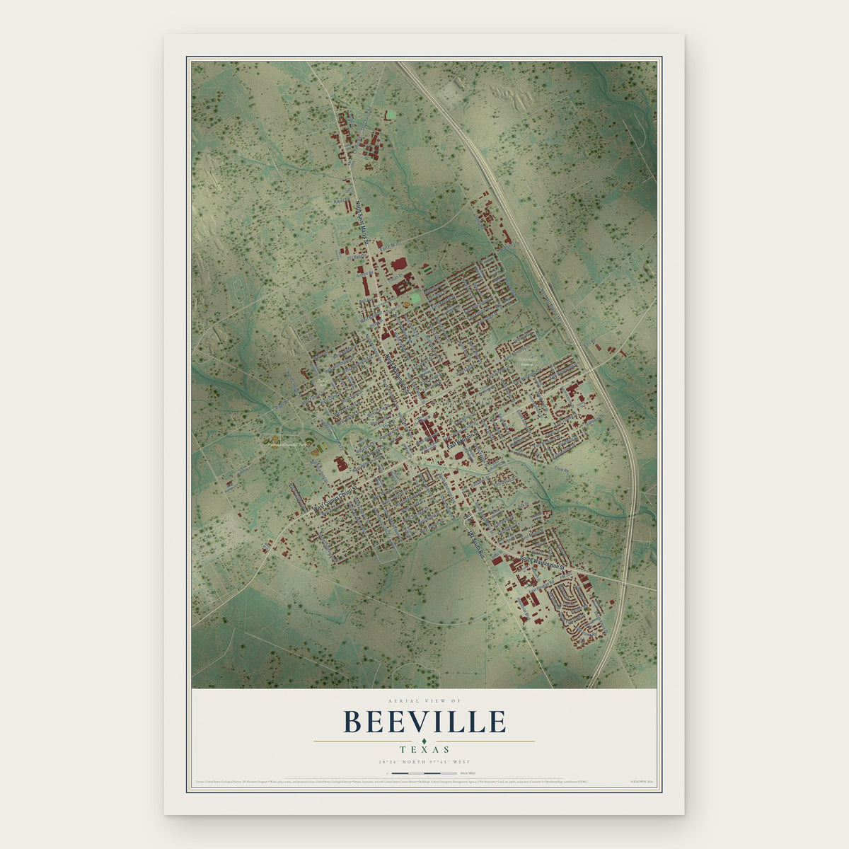
Beeville, Texas Map Art
Building by building, with labeled streets and shaded relief.
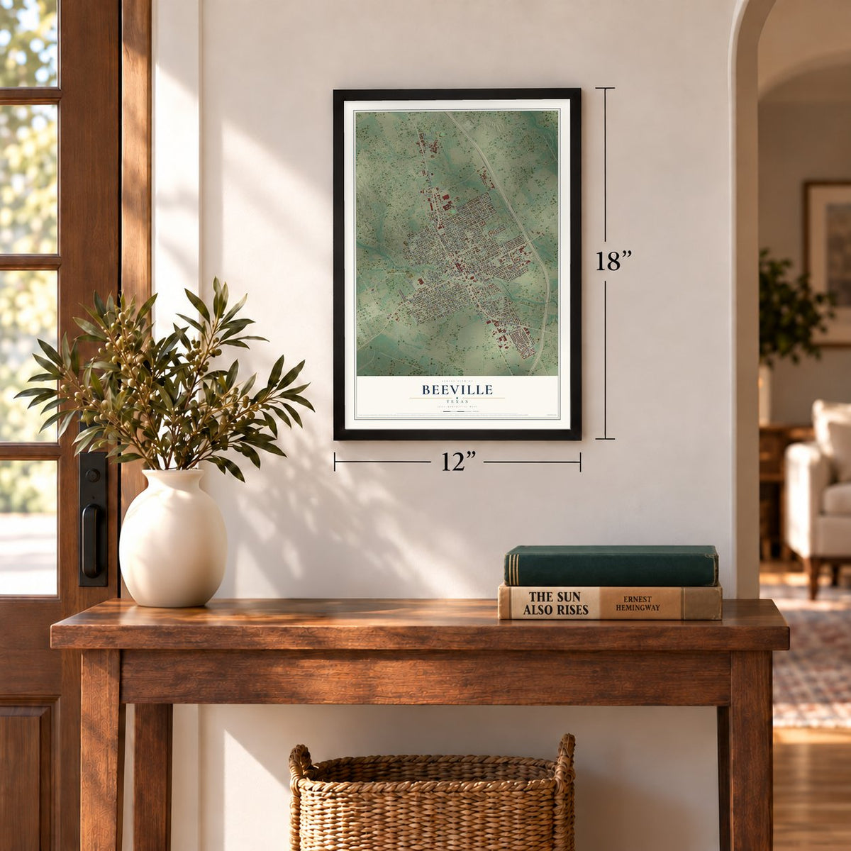
12" x 18" Archival Matte Print
A Map of Home. A Work of Art.
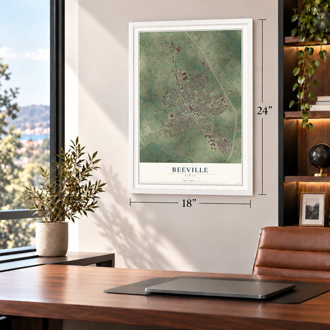
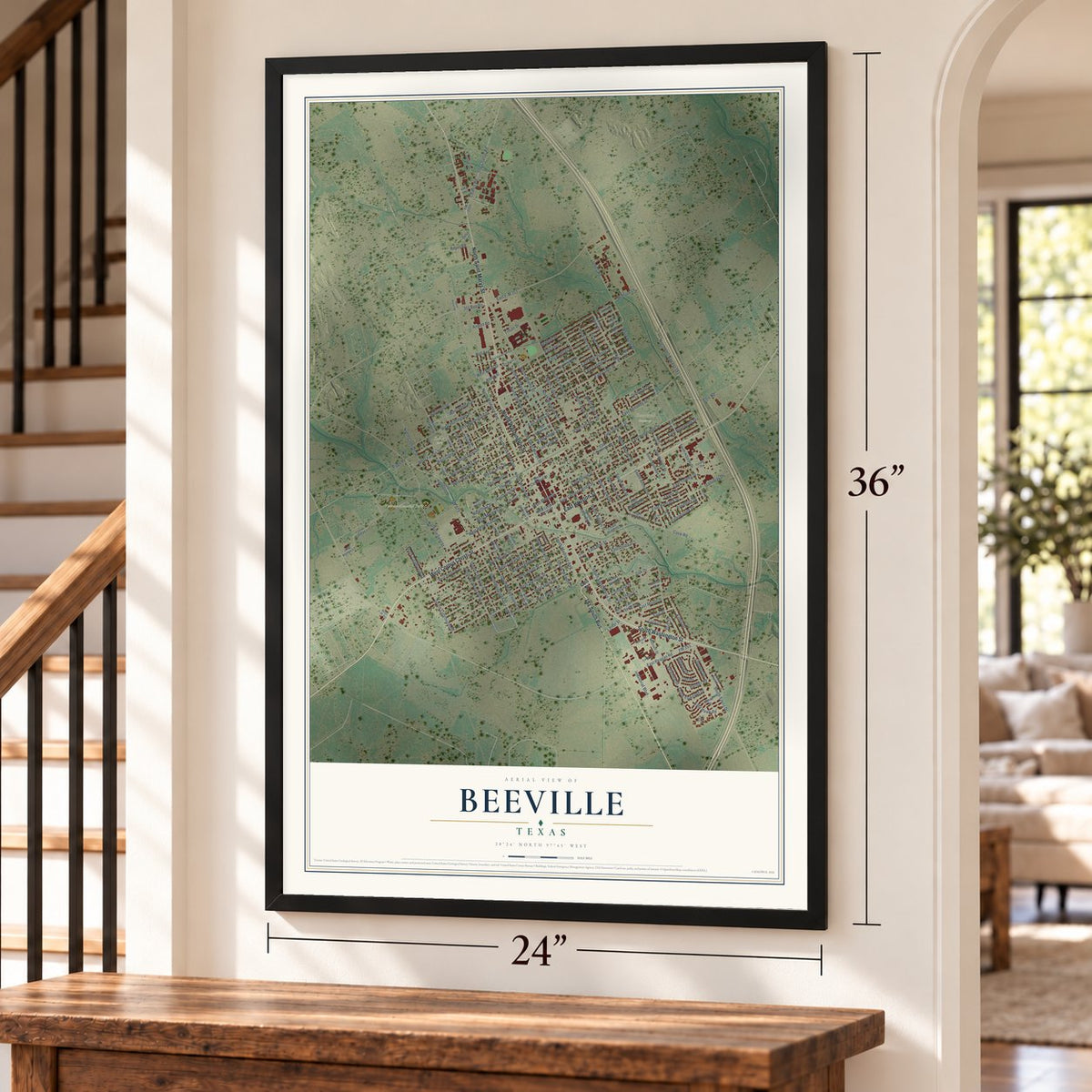
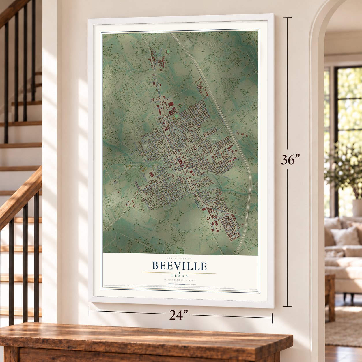
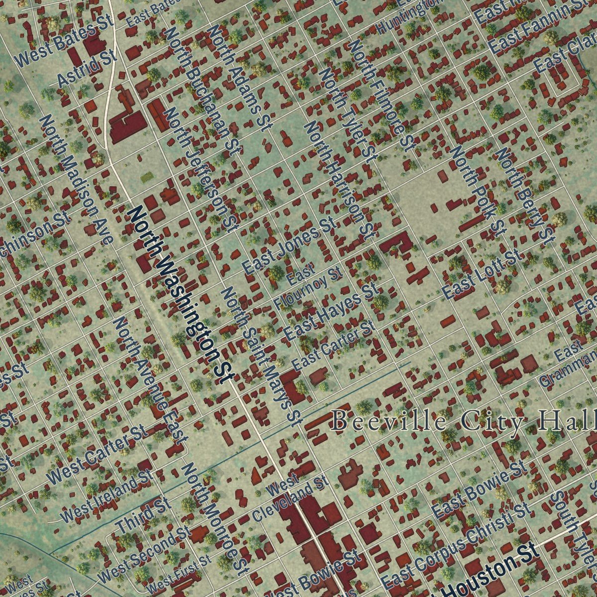
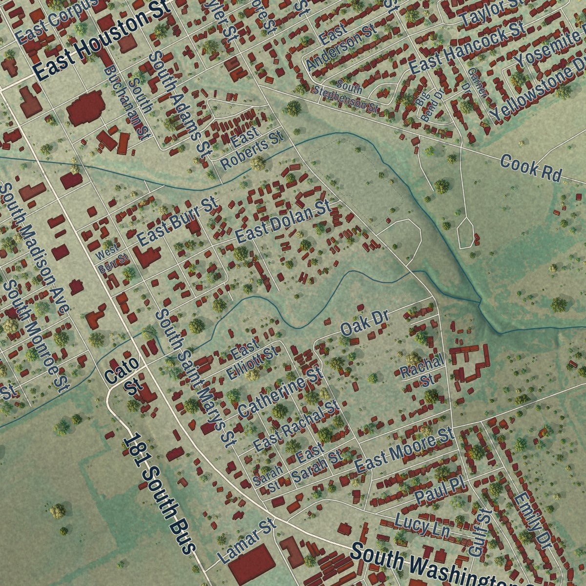
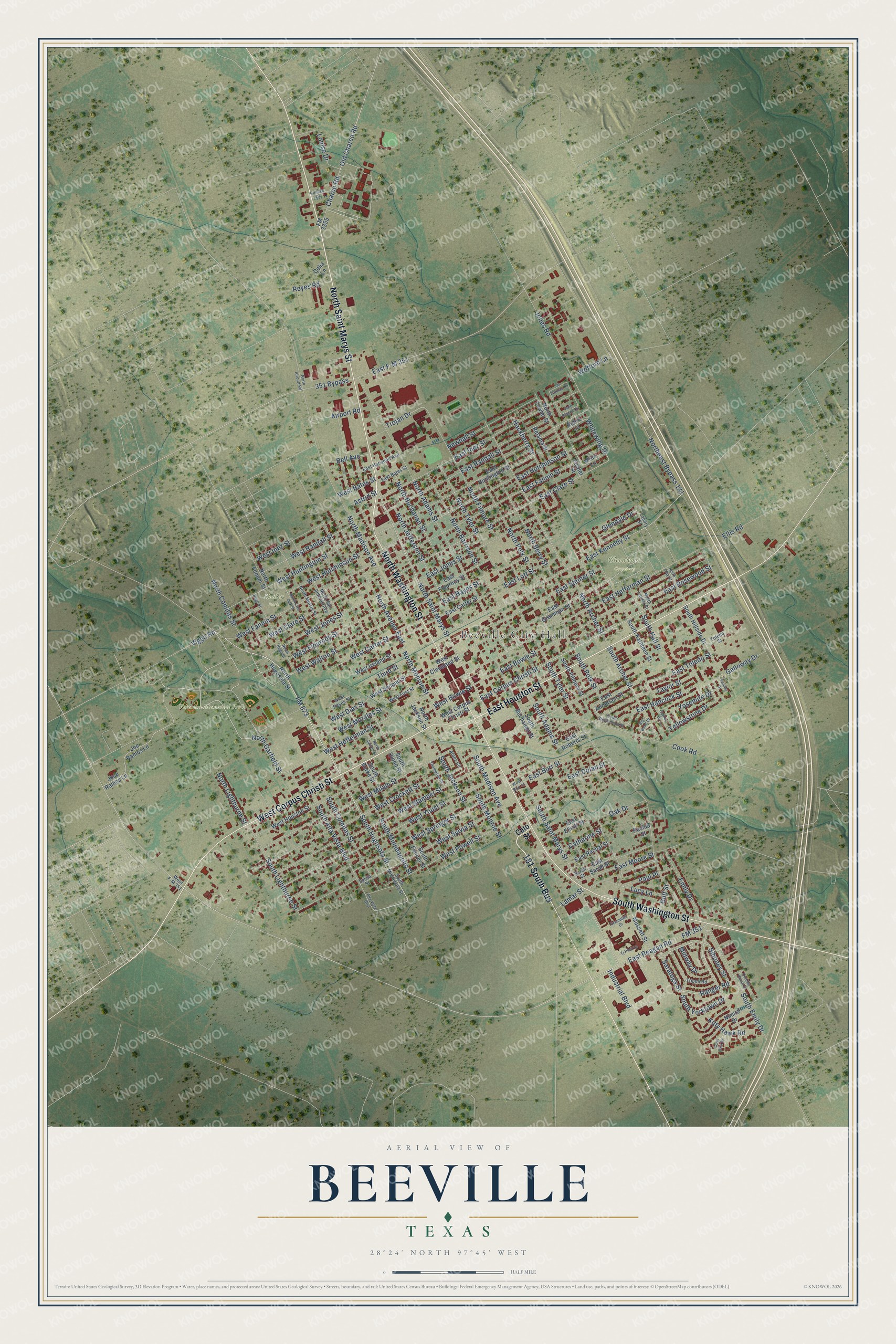
Explore Beeville, Texas from a whole new perspective. Created using aerial imagery and detailed geographic data, this map captures Beeville building by building, with labeled streets, familiar landmarks, and shaded topographical relief that highlights the natural contours of the landscape.
Combining modern data with the timeless character of a vintage atlas, this map is just as interesting up close as it is beautiful on the wall. Whether you grew up in Beeville, spent memorable years there, or call it home today, this unique map is a great way to celebrate a place that means something to you. Zoom in on the preview to look for your street, and then order a print to put your memories on the wall.
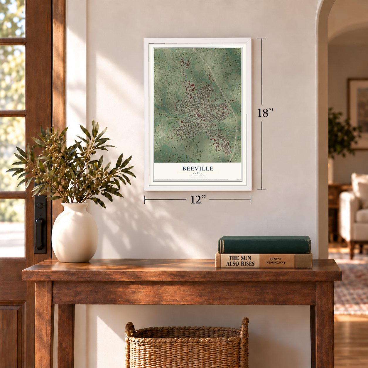
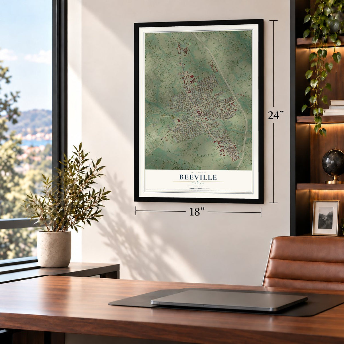
Three ways to hang it
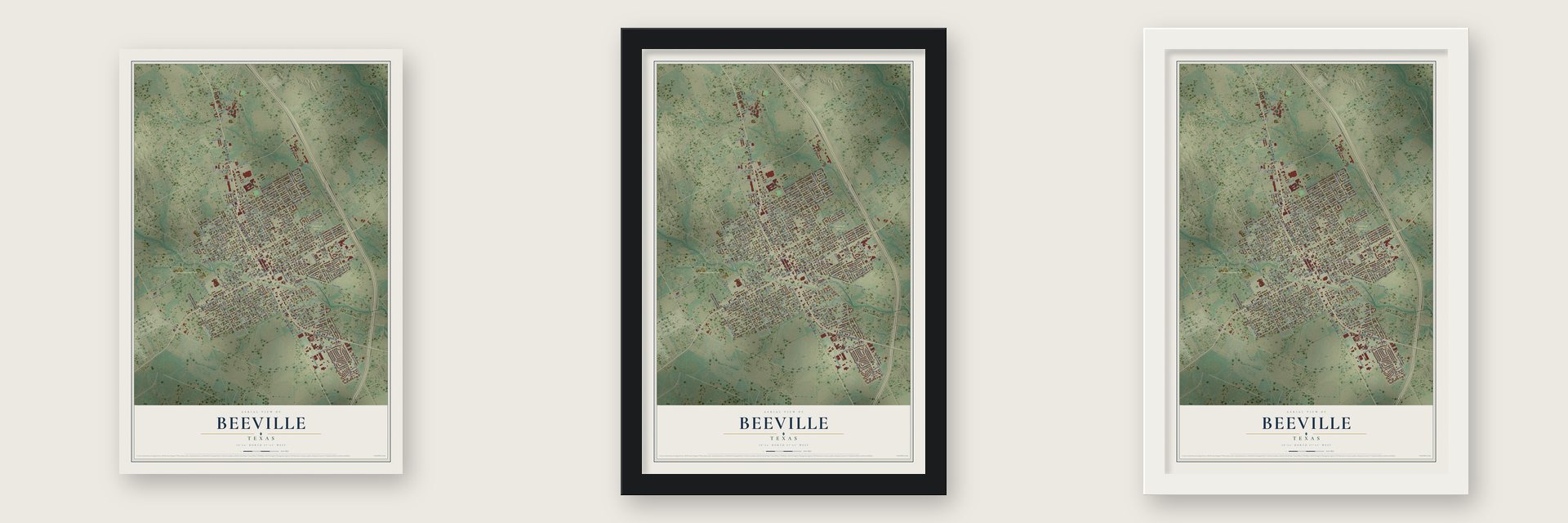
Unframed archival matte, a black wood frame or a white wood frame.
Up close
Geography Worth Displaying
This map was created using accurate cartographic data and authoritative geographic sources, including the U.S. Geological Survey and the Census Bureau. The map brings together terrain, waterways, roads, and building detail. The majority of the streets are labeled, houses are accurately depicted, and the topography is derived from government sources. Combining local data with carefully composed color and shading leads to this beautifully detailed Beeville artwork for your wall.
Rather than simply showing street outlines, we’ve included as many of the street names as we could reasonably fit on the map while keeping their names legible. Zoom in on the high resolution preview to see exactly what’s on the map. We truly set out to create a statement piece for anyone who loves Beeville. So whether it’s for you, or a gift for someone you love, we hope this map of Beeville brings back fond memories.
Read the story behind this map of Beeville, Texas from 2026.
Find your street
Names on the Beeville map
Every name below is printed on this map. Look for your street, your school, the park where you played, or the pond down the road.
Places and landmarks4
- Beeville City Hall
- Gleenwood Cemetery
- Veterans Memorial Park
- Kobler Park
Streets and roads190
- East Houston Street
- 181 South Bus
- North Saint Marys Street
- West Corpus Christi Street
- North Washington Street
- South Washington Street
- North Garfield Street
- FM 673
- Saratoga Street
- North Comitas Street
- East Corpus Christi Street
- South Comitas Street
- Old Charco Road
- Ranger Road
- Siboney Street
- East Kennedy Street
- South Hugosota Street
- South Saint Marys Street
- Lamar Street
- East Randall Street
- Northeast Bypass 181
- Whitewing Drive
- West Hefferman Street
- Wofford Lane
- East Clare Street
- East F-M 351
- 351 Bypass
- East Hancock Street
- South Archer Street
- North Adams Street
Show all 190 streets
- South Tyler Street
- East Hefferman Street
- East Bowie Street
- West Stamper Street
- North Archer Street
- West Crockett Street
- North Filmore Street
- West Youst Street
- West Springer Street
- West Milam Street
- East Inez Street
- North Tyler Street
- North Harrison Street
- West Sylvia Street
- North Buchanan Street
- West Fannin Street
- South Adams Street
- North Jefferson Street
- East Hutchinson Street
- North Madison Avenue
- North Polk Street
- East Fannin Street
- West Jones Street
- West Huntington Street
- North Berry Street
- West Hutchinson Street
- West Clare Street
- West Walton Street
- North Avenue East
- West Flournoy Street
- Cook Road
- East Toledo Street
- West Powell Street
- East Jones Street
- East Moore Street
- South Jackson Street
- South Emily Drive
- West Bowie Street
- East Steiner Street
- Industrial Boulevard
- West Carter Street
- East Hayes Street
- South Minneapolis Street
- South Alta Vista Boulevard
- Charco Road
- West Randall Street
- Jones Road
- Newhall Street
- South Lightburne Street
- South Madison Avenue
- South Yorktown Drive
- East Reagan Road
- FM 351
- West Inez Street
- East Dolan Street
- Viggo Road
- Lucy Lane
- North Monroe Street
- South Monroe Street
- Emily Drive
- East Lott Street
- East Rosewood Street
- Louise Drive
- Hackberry Street
- Trojan Drive
- South Polk Street
- Galloway Drive
- North Lightburne Street
- West Bates Street
- Yosemite Drive
- West Diaz Street
- Paul Place
- Yellowstone Drive
- Kitty Hawk Road
- Oak Drive
- Taylor Street
- West Morales Street
- Glendale Drive
- Catherine Street
- Airport Road
- Midway Drive
- South Hall Street
- Reyes Road
- East Burr Street
- Third Street
- Bell Avenue
- Astrid Street
- Gulf Street
- Ellis Road
- Cato Street
- North Hugosota Street
- Robin Lane
- South Buchanan Street
- North Jackson Street
- East Huntington Street
- West Houston Street
- East Gramman Street
- FM 3355
- South Quinn Street
- North Fenner Street
- East Flournoy Street
- South Hillside Drive
- East Sarah Street
- Joe Ramos Lane
- Jose Ramos Lane
- South Burke Street
- East Anderson Street
- South Fenner Street
- East Roberts Street
- Fowler Street
- Nimitz Drive
- Mussett Street
- West Second Street
- South Kathleen Street
- South Filmore Street
- West Cleveland Street
- West Ireland Street
- East Rachal Street
- East Carter Street
- North Fowler Street
- East Elliott Street
- Retama Street
- Wren Lane
- Celia Lane
- Rachal Street
- South Minnesota Street
- North Laurel Street
- North Morris Street
- North San Antonio Avenue
- West F-M 351
- East Harwood Avenue
- West First Street
- Alanz Circle
- East Bates Street
- Tripoli Road
- Landry Street
- Toledo Street
- West Reyes Street
- Sarah Street
- Sylvia Street
- Alta Vista Boulevard
- South Stephenson Street
- North Live Oak Street
- North Juarez Street
- Las Palmas Circle
- Palo Blanco Circle
- North Hugo Street
- Hugo Street
- Tj Pfeil Lane
- Garner Drive
- Quarter Horse Drive
- Thompson Street
- Grenadier Drive
- College Drive
- Coral Sea Drive
- North Clay Street
- North Airport Road
- Rainier Drive
- Big Bend Drive
- West Burr Street
Names are listed as they appear on the printed map. Zoom into the product photos to find them.
About Beeville, Texas
Beeville is a city of 13,669 people on Poesta Creek and the county seat of Bee County. The Burke, Carroll and Heffernan families settled here in the 1830s, and several of the settlers were killed in Indian attacks during those early years. When Bee County was organized in 1858, its first county seat, Beeville-on-the-Medio, stood beside Medio Creek on its eastern side, about seven miles east of today's town.
That spot proved inconvenient. In 1859 Patrick Burke, Patrick Carroll and Ann Burke Carroll donated land so a new townsite could be laid out here. The settlement was first called Maryville, for Mary Heffernan, the family member who had lived through the massacre. It was later renamed Beeville for Barnard E. Bee Sr., who had served the Republic of Texas as both secretary of state and secretary of war. Its first post office opened in 1859.
- The railroad in 1886The first railroad through Beeville was built in 1886, and the trains brought new business and new residents to the town. The Southern Pacific Transportation Company ran the lines through Beeville until the early 1970s.
- Navy pilots at Chase FieldDuring World War II, Beeville Naval Air Station trained U.S. Navy pilots between 1943 and 1946. The field came back to life in 1952 as Naval Air Station Chase Field and stayed open until 1992. In the 1950s Trans-Texas Airways flew Douglas DC-3 airliners from the field to Houston, San Antonio, Corpus Christi, Brownsville and Harlingen.
- Stephenson's courthouseArchitect William Charles Stephenson moved to Beeville from Buffalo, New York, in 1908. He designed many of the area's stately homes, stores and schools, among them the Bee County Courthouse, which joined the National Register in 2001. The sculptor Gutzon Borglum and his son Lincoln later lived in Beeville while Mount Rushmore was being carved.
- The Hodges house of 1910The R. L. Hodges family built a house here in 1910, and their descendants lived in it until 1975. Joe Barnhart of Houston bought the house and the land beside it in 1981. He named the house for his mother, Esther, and turned the land into a community park named for his father. The house is now home to the Beeville Art Museum.
- A college since 1967Coastal Bend College opened its main campus in Beeville in 1967 with 790 students. It now enrolls more than 3,700 and has added campuses in Alice, Kingsville and Pleasanton.
Keep exploring Texas
Beeville is one of 2,049 Texas towns we've mapped. Every dot on the map is a print of its own.
The search covers every state, Texas first.
Near Beeville
Order 2 or more town maps and save 10%. Shown in the size and finish you picked above, so they hang as a set.
- Blue Berry Hill 12" x 18" / Archival Matte Print $39.99
- Normanna 12" x 18" / Archival Matte Print $39.99
- Skidmore 12" x 18" / Archival Matte Print $39.99
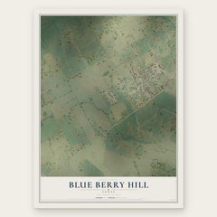
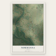
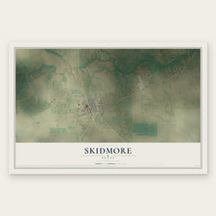
More maps nearby: Tuleta, Pettus, Tynan, Tulsita and Lakeshore Gardens-Hidden Acres.
The art of mapping a place
How This Map Was Made
Real places. Remarkable detail. Discover the layers that turn geographic data into a map of home.

The view from above
Aerial imagery reveals the character of the land: woodland, open fields, and the patterns of a place.

The shape of the land
Elevation data brings hills, valleys, and subtle changes in the landscape into view.

The details of home
Roads, waterways, and building footprints come together to make the map feel unmistakably local.

Geography becomes art
Considered color, shading, and typography bring the layers together in a map made for your wall.


Process illustrated with Mendon, Massachusetts. Aerial imagery: USDA NAIP. Terrain: USGS 3D Elevation Program. Map details and finished artwork: KNOWOL.
The Details
About This Print
Choose an archival matte print, or a black or white Ayous wood frame. The archival matte print is unframed.
Select your size and finish above to see the matching product image and price.
Materials & Craftsmanship
A contemporary map with the character of a classic atlas, printed on archival matte paper. Optional frames are made from Ayous wood.
Your printed map does not include the watermark shown in the full-map preview.
Shipping & Delivery
Free shipping within the United States. Every print is made to order in the USA.
Buying a gift? Add a note in your cart and we'll include it. We never put prices in the package.
Prints ship within 2 to 3 business days. Allow 7 to 10 days total from ordering for delivery. Timing may vary during holidays or periods of high order volume.
Read our shipping policy.
Returns and damaged prints
Each print is made to order. Change-of-mind refunds are not available after production.
If your print arrives damaged, misprinted or incorrect, contact support@knowol.com within 30 days of receiving it. Include your order number, photos and a description of the issue.
Read our full refund and replacement policy. For questions about your order, email support@knowol.com.