
Search for another town

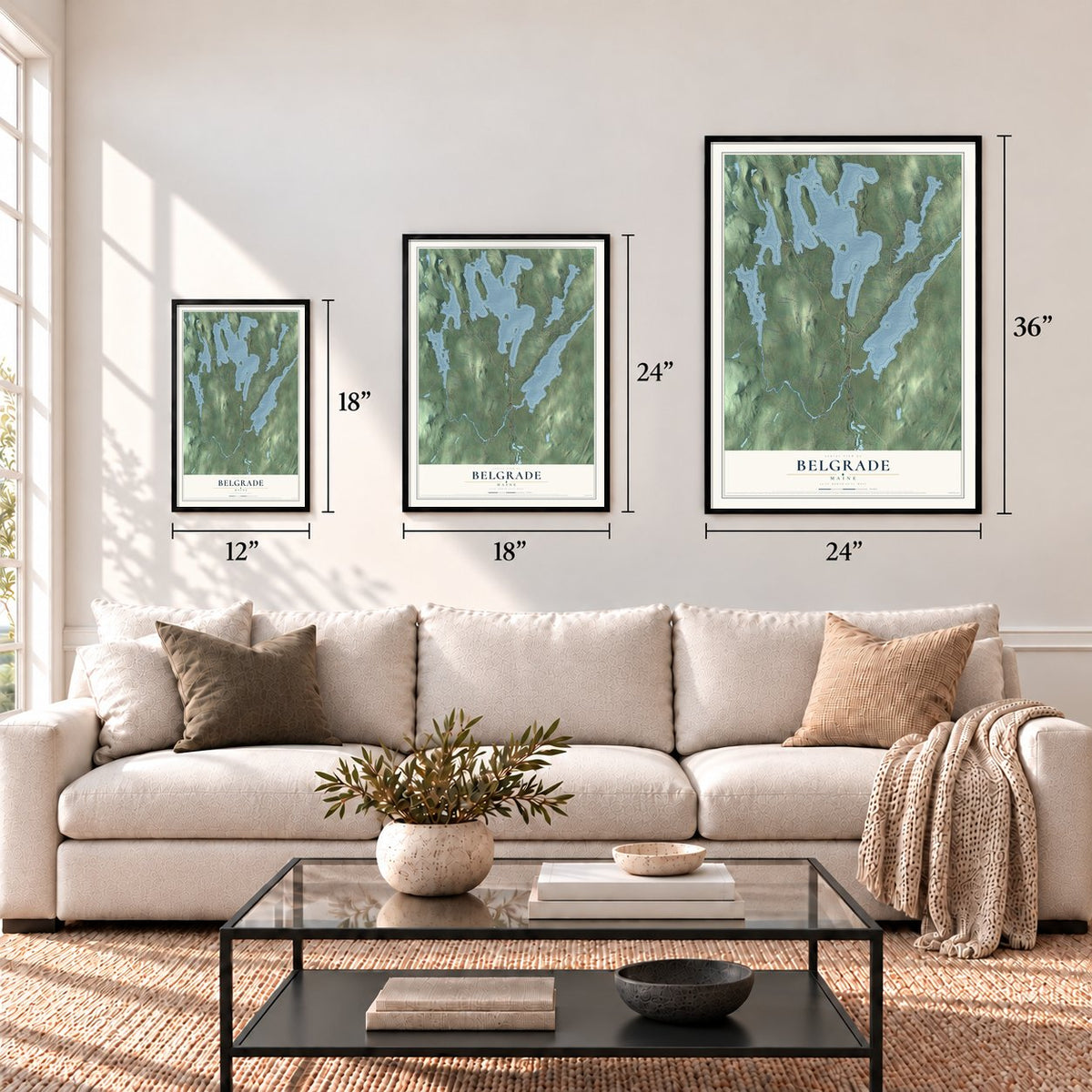

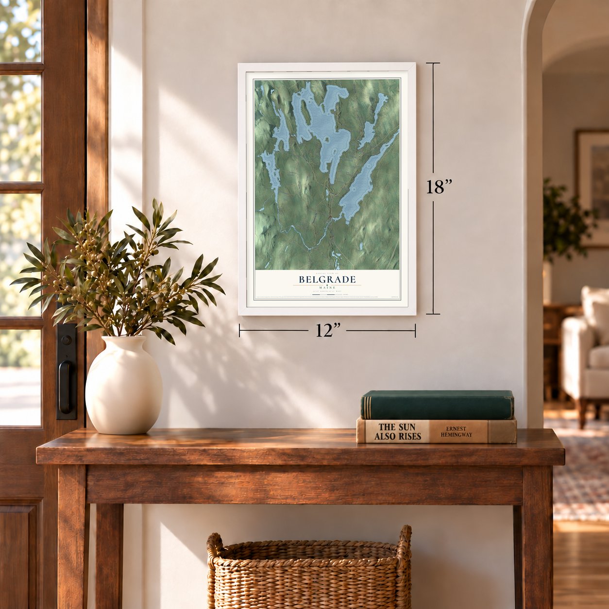
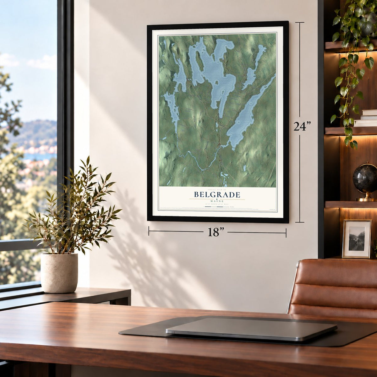
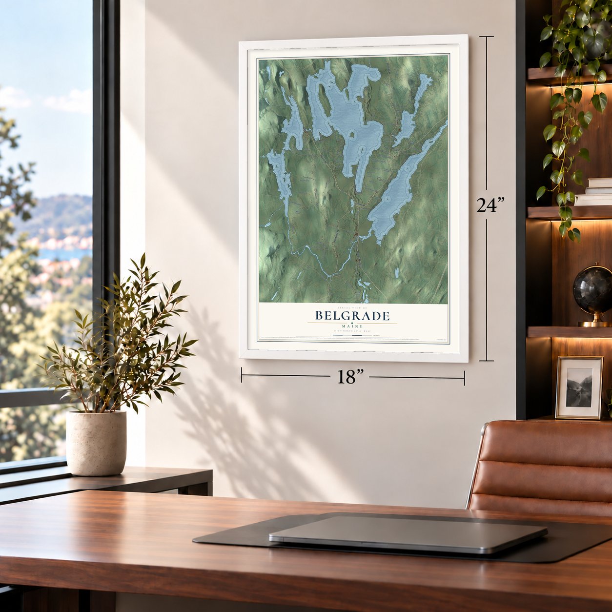
Free U.S. delivery 7 to 10 days after you order
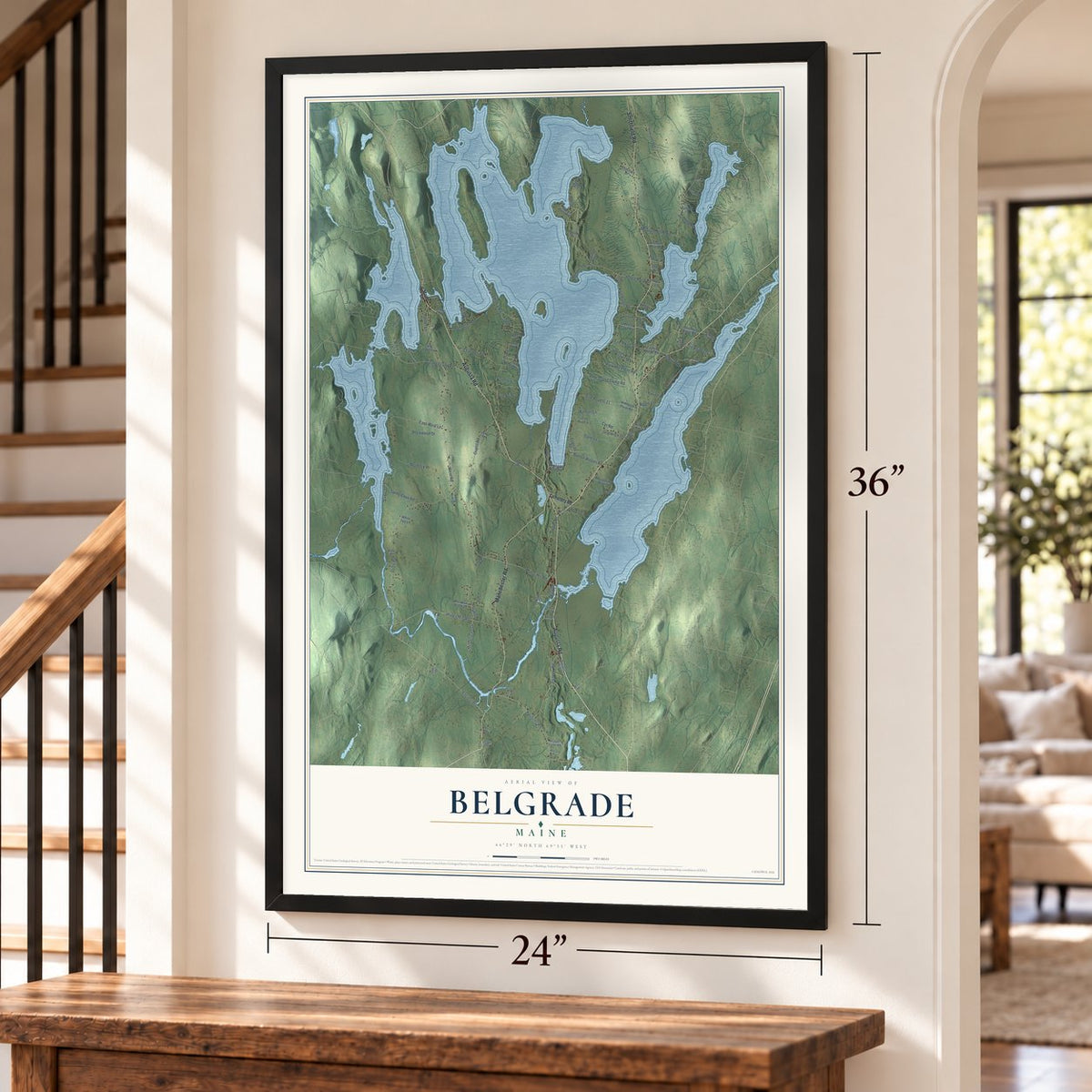
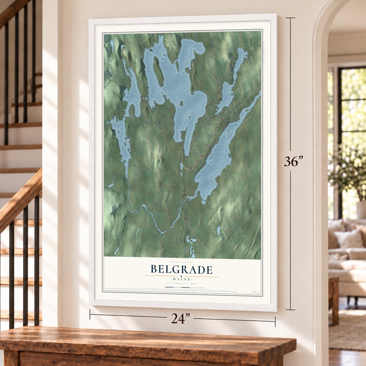
Belgrade, Maine Map Art
Building by building, with labeled streets and shaded relief.
12" x 18" Archival Matte Print
A Map of Home. A Work of Art.
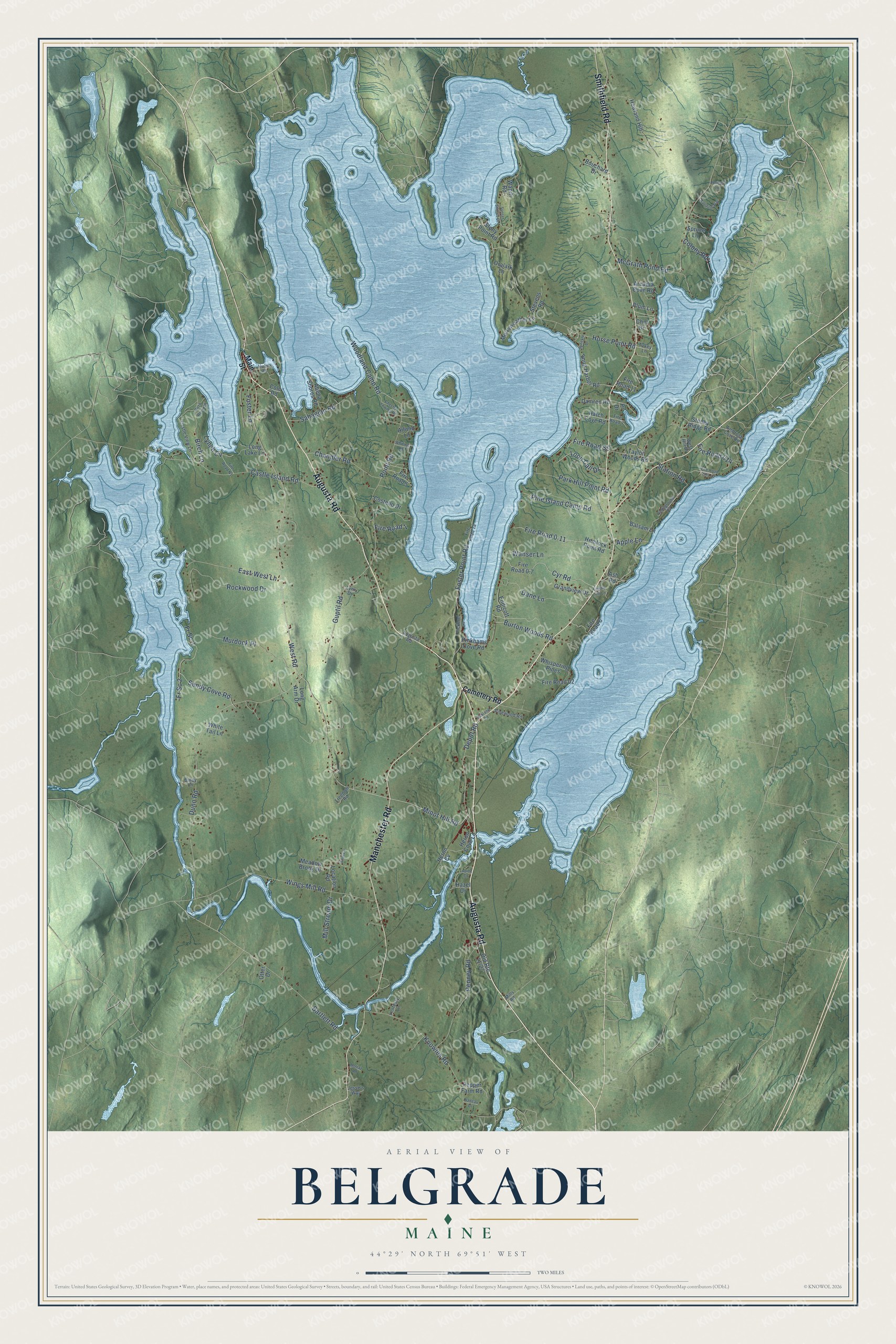
Explore Belgrade, Maine from a whole new perspective. Created using aerial imagery and detailed geographic data, this map captures Belgrade building by building, with labeled streets, familiar landmarks, and shaded topographical relief that highlights the natural contours of the landscape.
Combining modern data with the timeless character of a vintage atlas, this map is just as interesting up close as it is beautiful on the wall. Whether you grew up in Belgrade, spent memorable years there, or call it home today, this unique map is a great way to celebrate a place that means something to you. Zoom in on the preview to look for your street, and then order a print to put your memories on the wall.
Three ways to hang it
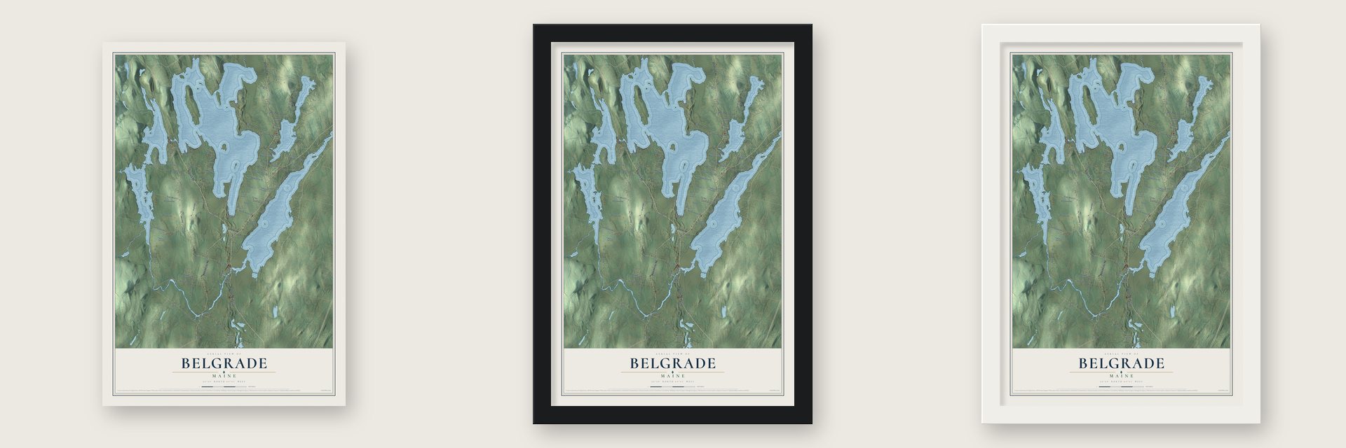
Unframed archival matte, a black wood frame or a white wood frame.
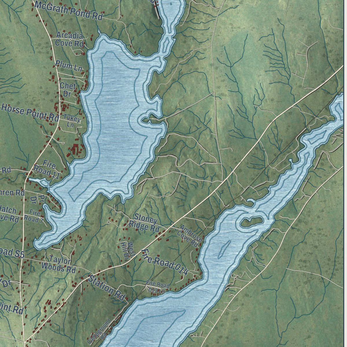
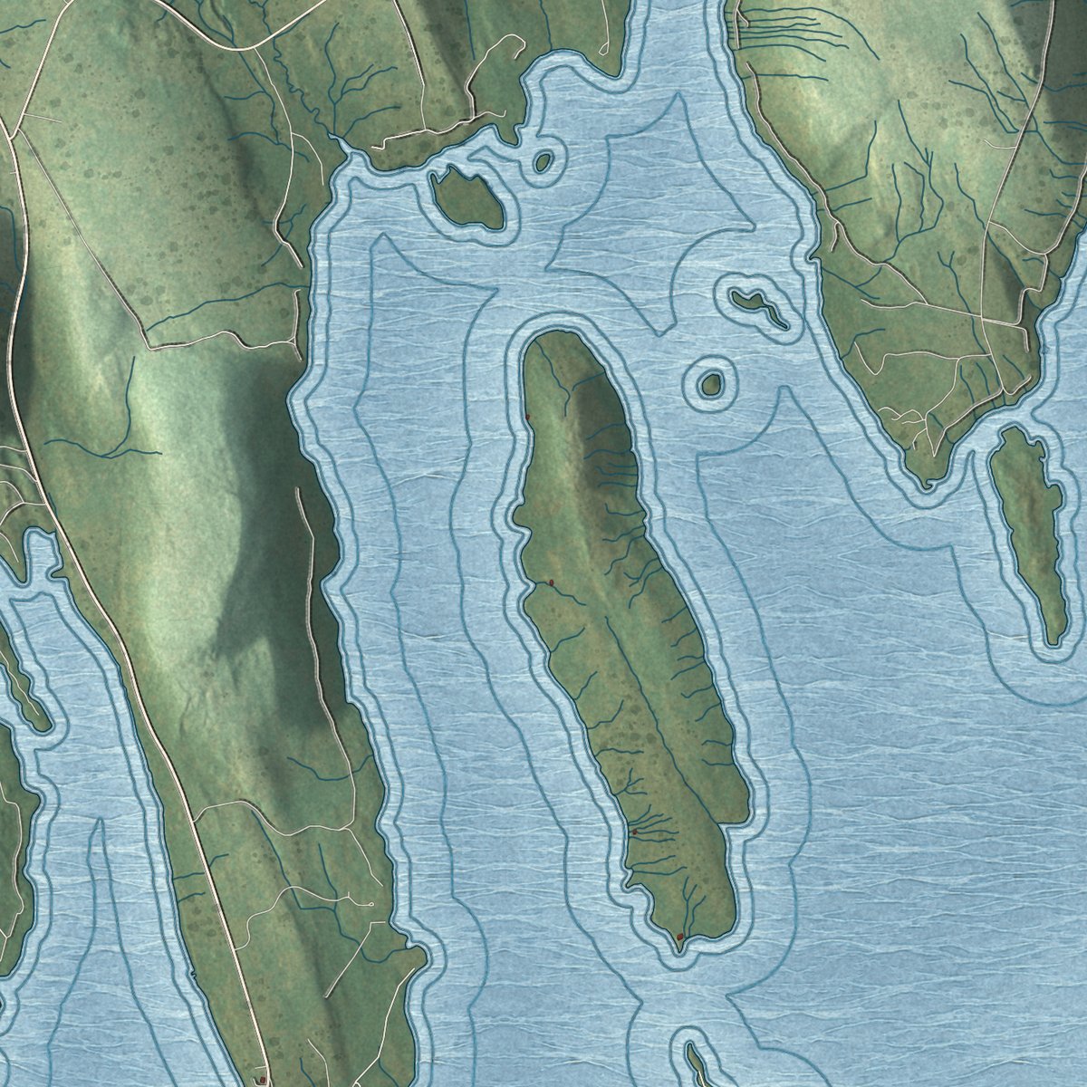
Up close
Geography Worth Displaying
This map was created using accurate cartographic data and authoritative geographic sources, including the U.S. Geological Survey (USGS) and FEMA. The map brings together terrain, waterways, roads, and building detail. The majority of the streets are labeled, houses are accurately depicted, and the topography is derived from government sources. Combining local data with carefully composed color and shading leads to this beautifully detailed Belgrade artwork for your wall.
Rather than simply showing street outlines, we’ve included as many of the street names as we could reasonably fit on the map while keeping their names legible. Zoom in on the high resolution preview to see exactly what’s on the map. We truly set out to create a statement piece for anyone who loves Belgrade. So whether it’s for you, or a gift for someone you love, we hope this map of Belgrade brings back fond memories.
Explore the full map of Belgrade, Maine and read about the local places it shows.
Find your street
Names on the Belgrade map
Every name below is printed on this map. Look for your street, your school, the park where you played, or the pond down the road.
Streets and roads119
- Augusta Road
- Smithfield Road
- Manchester Road
- West Road
- Minot Hill Road
- Depot Road
- Woodland Camp Road
- Sandy Cove Road
- Fire Road 014
- Point Road
- Guptil Road
- Lynch Cv
- Horse Point Road
- Dunn Road
- Castle Island Road
- Knowles Road
- Foster Point Road
- McGrath Pond Road
- Bartlett Road
- Rockwood Drive
- Wings Mill Road
- Fr Sc-1
- Penney Road
- Cyr Road
- Murdock Place
- Fire Road 0.11
- Wanser Lane
- Pine Island Camp Road
- East-West Lane
- Dane Lane
Show all 119 streets
- Chandler Road
- Burton Woods Road
- Sahagian Road
- Birch Lane
- Station Road
- Park Hill Point Road
- Loon Call Drive
- Mill Stream Drive
- Fire Road S5
- Colony Road
- Foster Lane
- Apple Lane
- Fire Road 1
- Fr Sc 2
- Main Street
- Cemetery Road
- Hemlock Point Road
- Fire Road 0.7
- Fire Road 5
- Howland Hill
- Fire Road 6
- Endicott Road
- Location Road
- Snug Harbor Road
- Taylor Woods Road
- Hatch Cove Road
- Fire Road 02
- Balsam Lane
- Ash Road
- Stony Point Road
- Plum Lane
- Merryweather Lane
- Whispering Pines
- Abena Shores Road
- Pinkhams Cove Road
- Arcadia Cove Road
- Grandview Drive
- Meadow Brook Drive
- Damren Road
- Heron Cove Lane
- Bouchard Drive
- Costello Drive
- Heron Cv
- Stevens Road
- Stoney Ridge Road
- Long Lake Lane
- Spruce Lane
- Pepper Farm Road
- Fire Road 11
- Oralark Lane
- Hazel Drive
- Long Arm Drive
- White Tail Lane
- Alfond Lane
- Wapiti Road
- Cole Road
- Pr Drive
- Otter Drive
- Chet Drive
- Ambrose Cove Road
- Castle View Lane
- Pinewood Road
- Pickerel Lane
- West Hill Drive
- Hulin Road
- Tukey Lane
- Lenfesty Lane
- Freedom Road
- Jesse's Way
- Fire Road 7
- Biddy Lane
- Mills Road
- Lynx Drive
- Oakland Road
- Chester Thwing Road
- Sunset Shores Drive
- Campground Road
- Random Way
- Thistle Hill Lane
- Fire Road N1
- Fire Road 013 L5
- Birch Rock Road
- Andrew
- Nadeau Drive
- Whiting Road
- Speckle Drive
- Juniper Lane
- Moltaz Road
- Lupine Drive
Names are listed as they appear on the printed map. Zoom into the product photos to find them.
About Belgrade, Maine
Belgrade is a town of 3,250 people in Kennebec County. A chain of connected lakes covers much of it, and Great Pond is the largest. Philip Snow arrived from New Hampshire in 1774 and became the first settler of the place, then known as Washington Plantation. Its residents held their land under titles from the Plymouth Company, and on February 3, 1796, the plantation was incorporated and renamed for Belgrade in Serbia.
Most families farmed, and potatoes were their biggest crop, while the streams leaving the ponds powered mills. By 1859 the town had factories turning out shovels and spools, along with several mills for sawing lumber and grinding grain. Workshops making rakes, shingles, excelsior, scythes and boxes had joined them by 1886. That same year the Great Pond Storage Dam went up on Belgrade Stream to supply power, and it gave the lake the outline it has now. When the railroad came, visitors followed, and the town turned into a resort for fishing, boating and summer cottages.
- Granite hauled over the iceThe Chandler Store in Belgrade Lakes village went up in 1838 out of granite blocks. It is one of just two commercial buildings in Maine known to be built of that stone. The granite was cut at a quarry in Vienna, and sleds dragged it over frozen Long Pond to the building site.
- Two brothers, two governorsAnson P. Morrill, born in Belgrade in 1803, served as Maine's 24th governor and then went to Congress. His brother Lot M. Morrill, born here in 1813, became the 28th governor and a U.S. senator. In the Senate he backed the law that ended slavery in Washington, D.C., and he later served President Grant as Secretary of the Treasury.
- The Belgrade HotelJohn Calvin Stevens, the Portland architect, designed the Belgrade Hotel at Belgrade Lakes, and it opened to guests in 1899. Fire destroyed the hotel in 1955. One of its cottages survives: The Birches, built in 1916 on Foster Lane, is the best-preserved building left from the hotel.
- The Foster brothers' dairy barnThe Foster family began farming in northern Belgrade in the late 1850s. In the first years of the 1900s, Frank and Edgar Foster put up a barn there to house their milk cows. Its floor had troughs of concrete to carry away manure, and vents ran through the walls and roof. By 1902 the brothers were said to keep fifteen cows. The Foster Farm Barn still stands at 538 Augusta Road, behind a farm stand.
- Summers on Great PondE. B. White spent boyhood summers at the lakes and came back years later with his own son. He wrote about that return in "Once More to the Lake," which Harper's Magazine printed in 1941. The playwright Ernest Thompson also summered on Great Pond, and those visits led to his 1979 play On Golden Pond. Its 1981 film version won an Academy Award.
Keep exploring Maine
Belgrade is one of 536 Maine towns we've mapped. Every dot on the map is a print of its own.
The search covers every state, Maine first.
Near Belgrade
Order 2 or more town maps and save 10%. Shown in the size and finish you picked above, so they hang as a set.
- Rome 12" x 18" / Archival Matte Print $39.99
- Oakland 12" x 18" / Archival Matte Print $39.99
- Sidney 12" x 18" / Archival Matte Print $39.99

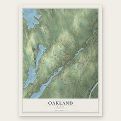
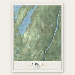
More maps nearby: Mount Vernon, Vienna, Smithfield, Waterville and Mercer.
The art of mapping a place
How This Map Was Made
Real places. Remarkable detail. Discover the layers that turn geographic data into a map of home.

The view from above
Aerial imagery reveals the character of the land: woodland, open fields, and the patterns of a place.

The shape of the land
Elevation data brings hills, valleys, and subtle changes in the landscape into view.

The details of home
Roads, waterways, and building footprints come together to make the map feel unmistakably local.

Geography becomes art
Considered color, shading, and typography bring the layers together in a map made for your wall.


Process illustrated with Mendon, Massachusetts. Aerial imagery: USDA NAIP. Terrain: USGS 3D Elevation Program. Map details and finished artwork: KNOWOL.
The Details
About This Print
Choose an archival matte print, or a black or white Ayous wood frame. The archival matte print is unframed.
Select your size and finish above to see the matching product image and price.
Materials & Craftsmanship
A contemporary map with the character of a classic atlas, printed on archival matte paper. Optional frames are made from Ayous wood.
Your printed map does not include the watermark shown in the full-map preview.
Shipping & Delivery
Free shipping within the United States. Every print is made to order in the USA.
Buying a gift? Add a note in your cart and we'll include it. We never put prices in the package.
Prints ship within 2 to 3 business days. Allow 7 to 10 days total from ordering for delivery. Timing may vary during holidays or periods of high order volume.
Read our shipping policy.
Returns and damaged prints
Each print is made to order. Change-of-mind refunds are not available after production.
If your print arrives damaged, misprinted or incorrect, contact support@knowol.com within 30 days of receiving it. Include your order number, photos and a description of the issue.
Read our full refund and replacement policy. For questions about your order, email support@knowol.com.