
Search for another town


Free U.S. delivery 7 to 10 days after you order
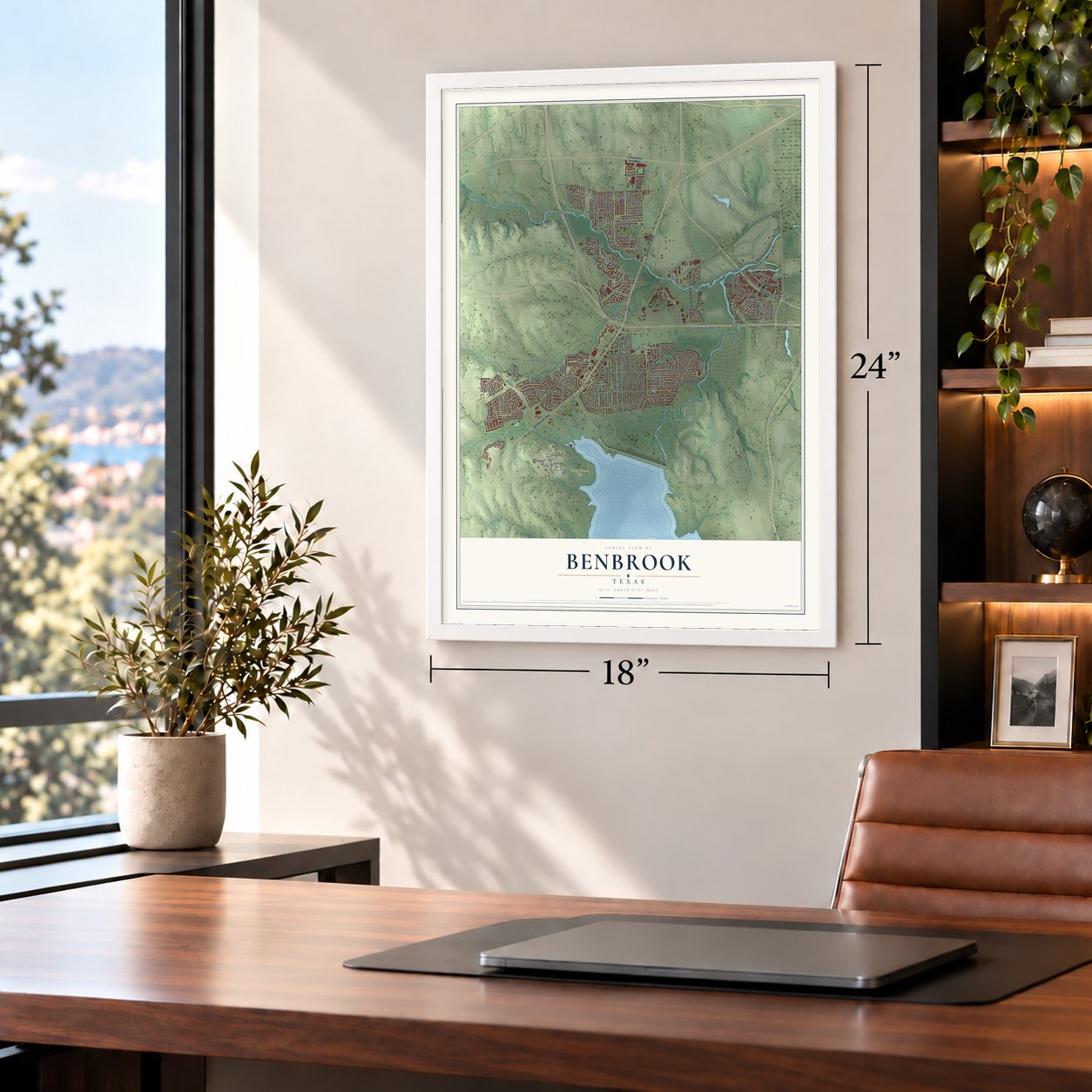
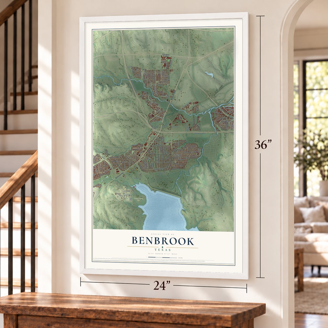
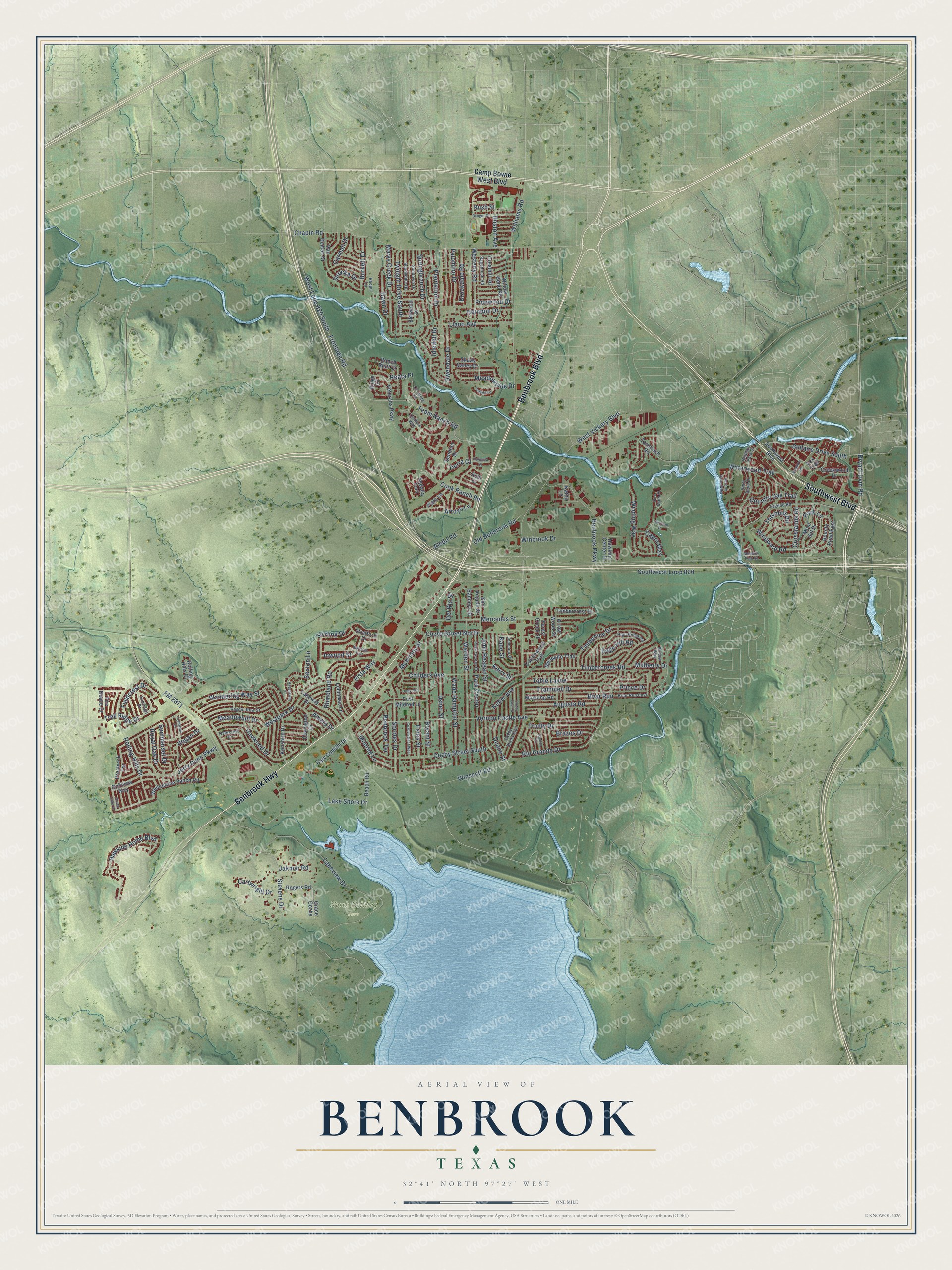
Benbrook, Texas Map Art
Building by building, with labeled streets and shaded relief.
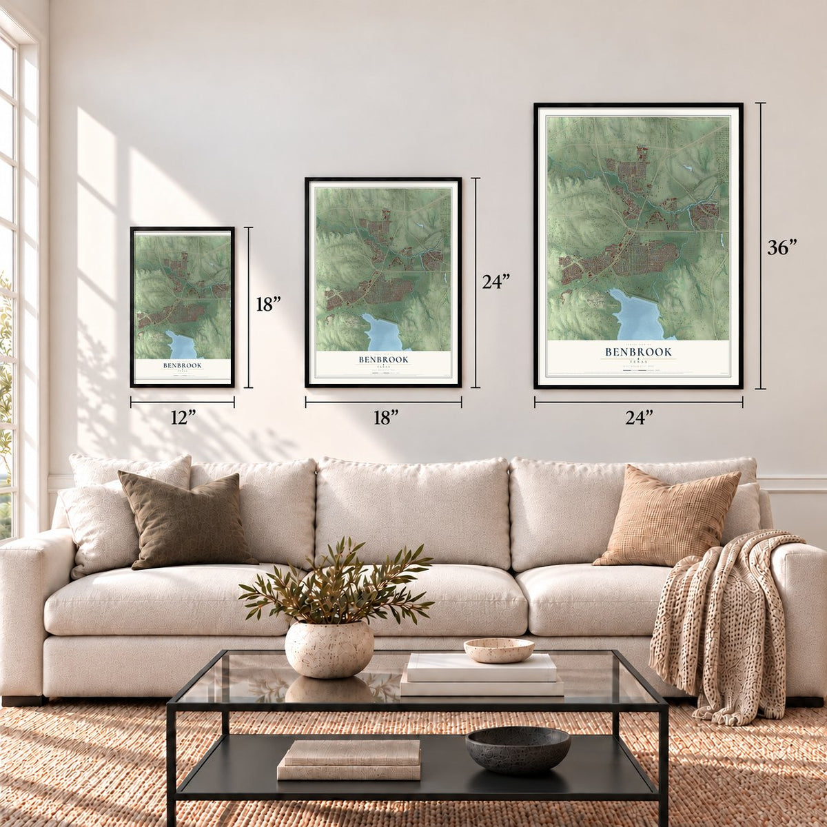
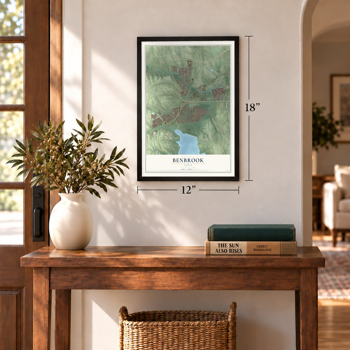
12" x 18" Archival Matte Print
A Map of Home. A Work of Art.
Explore Benbrook, Texas from a whole new perspective. Created using aerial imagery and detailed geographic data, this map captures Benbrook building by building, with labeled streets, familiar landmarks, and shaded topographical relief that highlights the natural contours of the landscape.
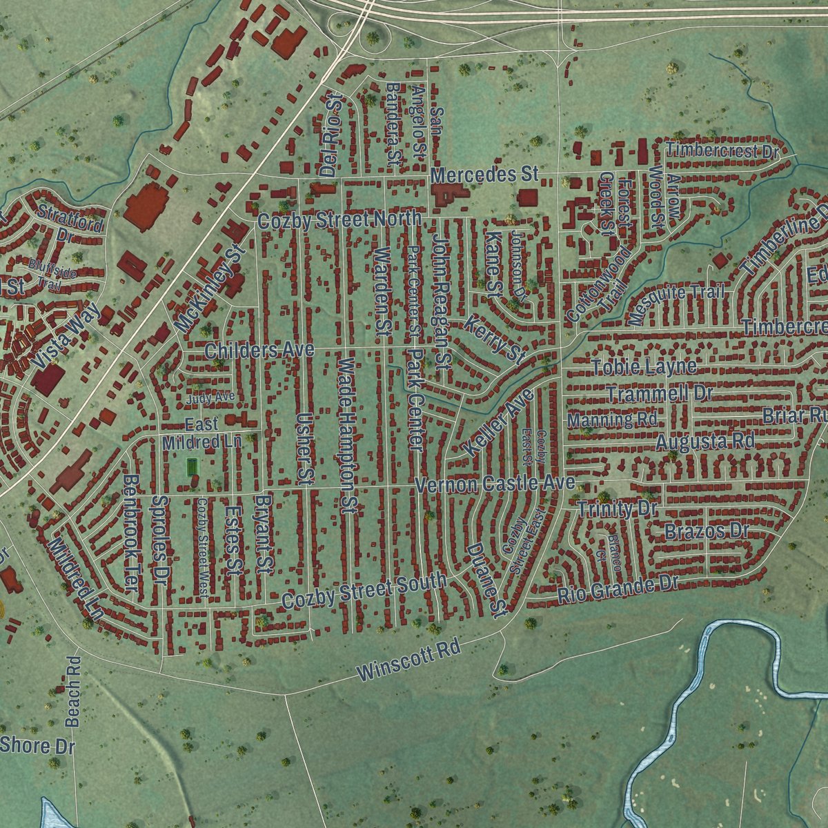
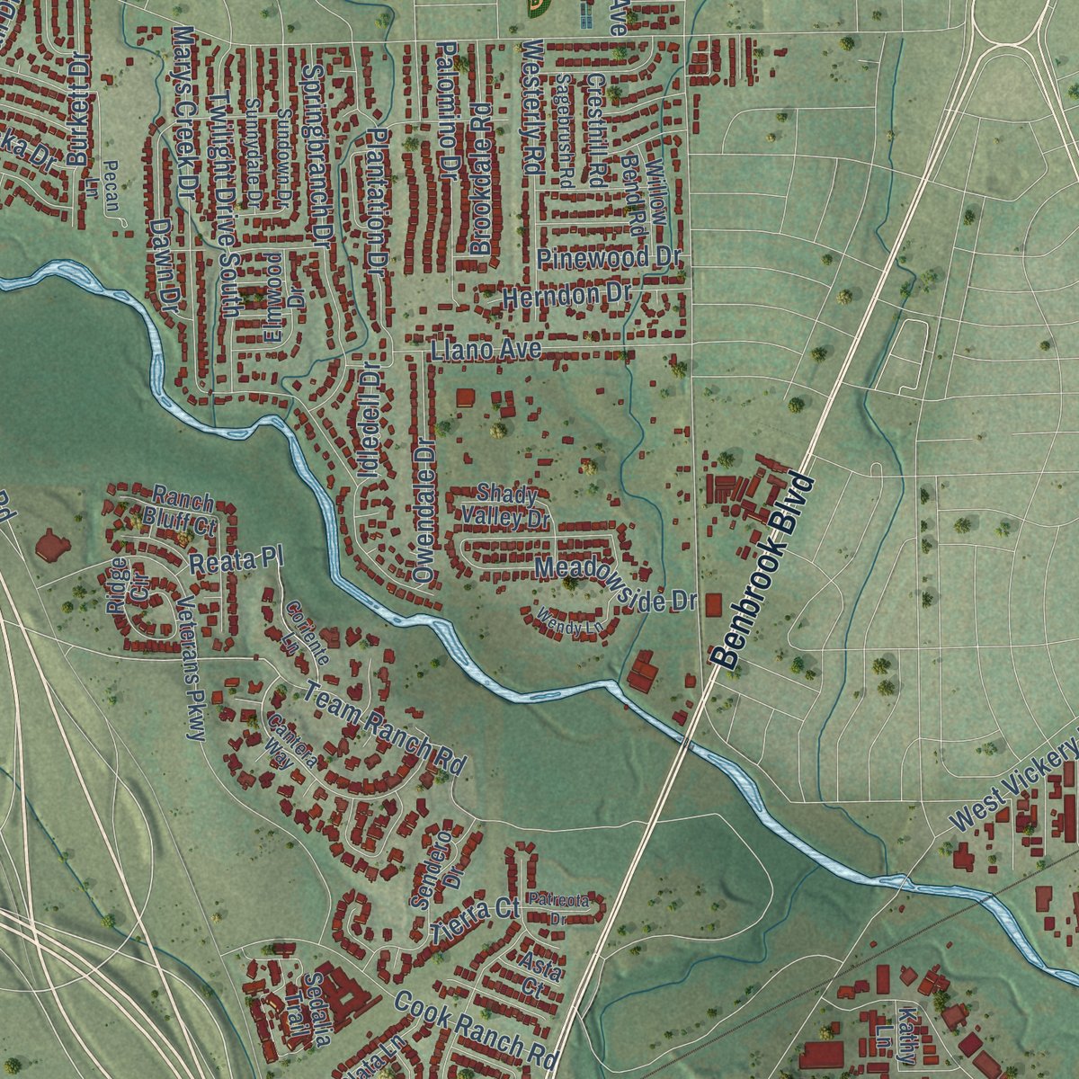
Combining modern data with the timeless character of a vintage atlas, this map is just as interesting up close as it is beautiful on the wall. Whether you grew up in Benbrook, spent memorable years there, or call it home today, this unique map is a great way to celebrate a place that means something to you. Zoom in on the preview to look for your street, and then order a print to put your memories on the wall.
Three ways to hang it
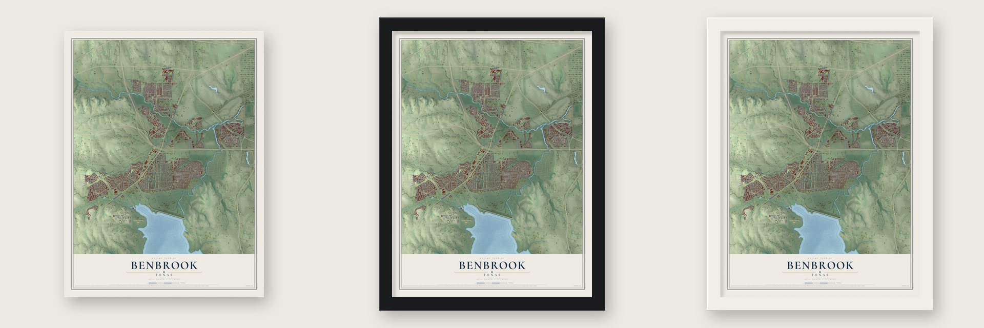
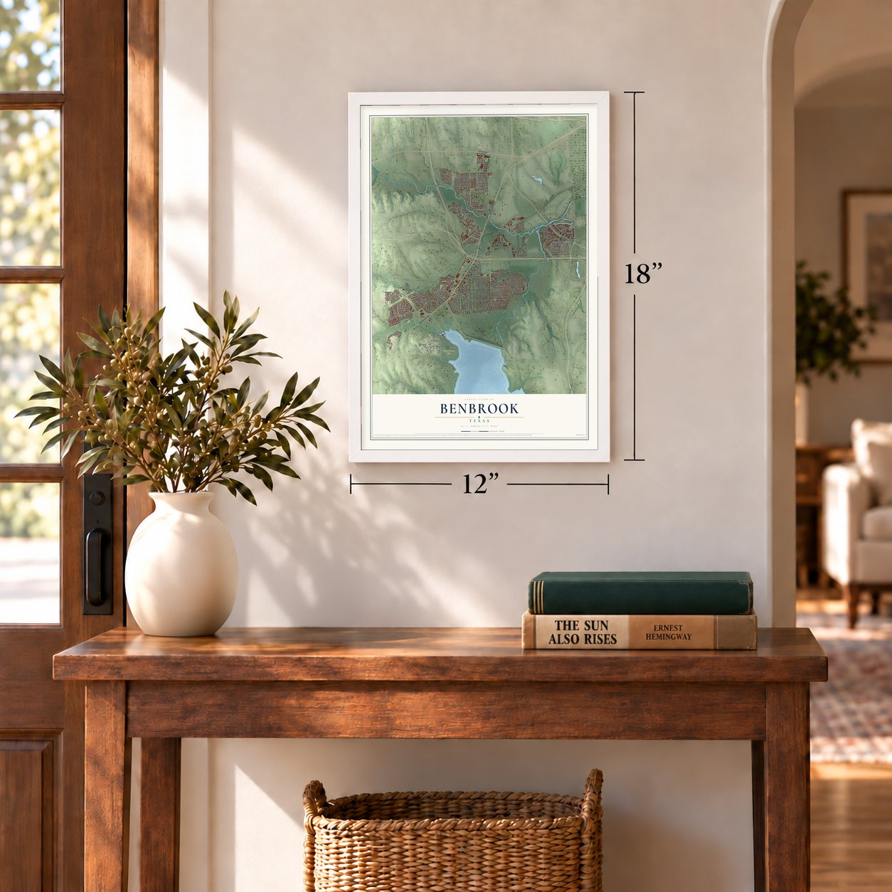
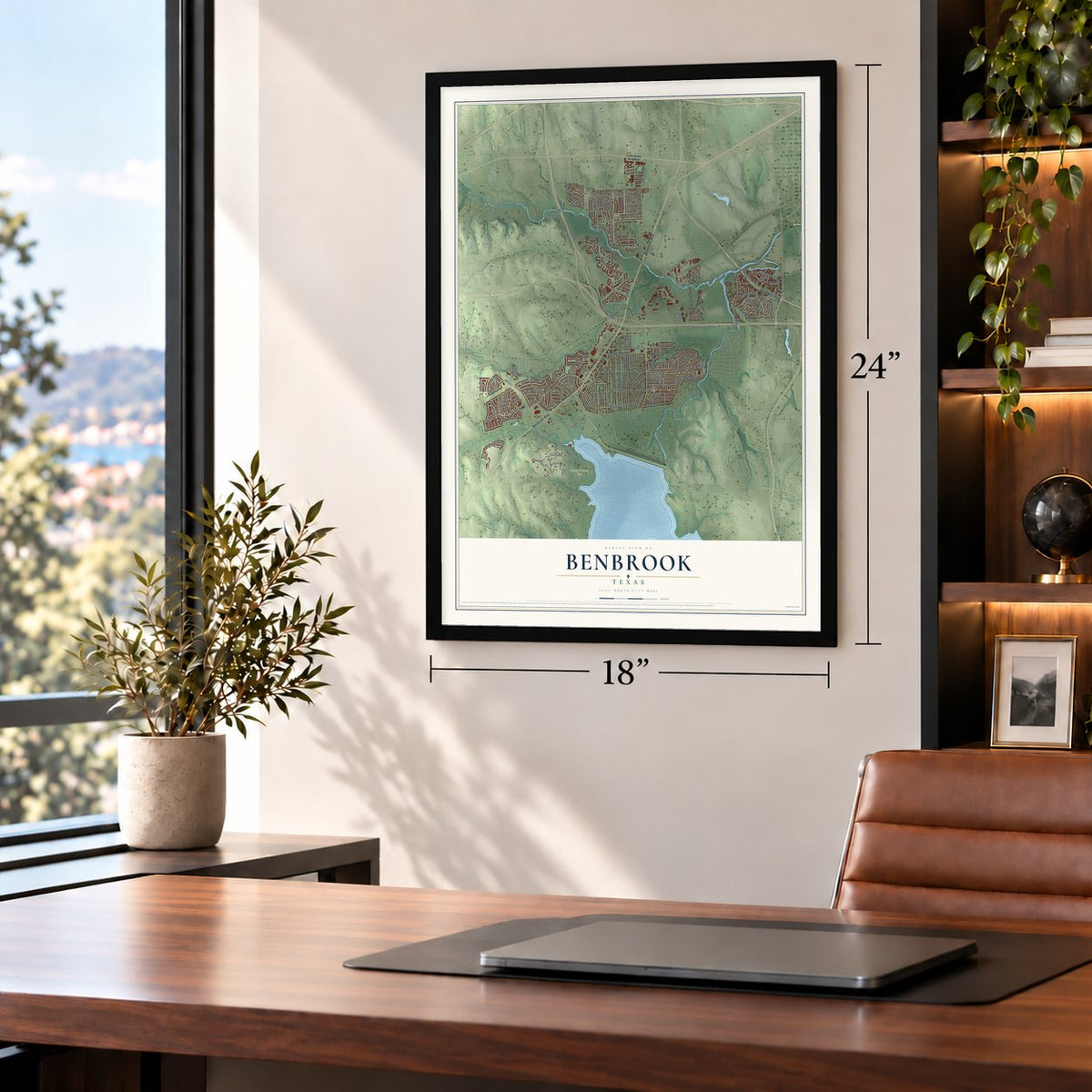
Unframed archival matte, a black wood frame or a white wood frame.
Up close
Geography Worth Displaying
This map was created using accurate cartographic data and authoritative geographic sources, including the U.S. Geological Survey and the Census Bureau. The map brings together terrain, waterways, roads, and building detail. The majority of the streets are labeled, houses are accurately depicted, and the topography is derived from government sources. Combining local data with carefully composed color and shading leads to this beautifully detailed Benbrook artwork for your wall.
Rather than simply showing street outlines, we’ve included as many of the street names as we could reasonably fit on the map while keeping their names legible. Zoom in on the high resolution preview to see exactly what’s on the map. We truly set out to create a statement piece for anyone who loves Benbrook. So whether it’s for you, or a gift for someone you love, we hope this map of Benbrook brings back fond memories.
Read the story behind this map of Benbrook, Texas from 2026.
Find your street
Names on the Benbrook map
Every name below is printed on this map. Look for your street, your school, the park where you played, or the pond down the road.
Places and landmarks1
- North Holiday Park
Streets and roads182
- Benbrook Highway
- Benbrook Boulevard
- Southwest Boulevard
- Bryant Irvin Road
- Frontage Road
- Team Ranch Road
- Timberline Drive
- Crosslands Road
- Trail Ridge Drive
- Reata Place
- Windward Road
- Winscott Road
- Southwest Loop 820
- Chapin Road
- Vernon Castle Avenue
- Williams Road
- Bellaire Drive South
- Lakeview Drive
- Mercedes Street
- Westpark Drive
- Rolling Hills Drive
- Marys Creek Drive
- Cozby Street South
- FM 2871
- Bryant Street
- Usher Street
- Wade Hampton Street
- Lake Shore Drive
- Warden Street
- Timbercreek Road
Show all 182 streets
- Park Center
- Stevens Drive
- West Loop 820 South
- John Reagan Street
- Tobie Layne
- Sproles Drive
- Hawkins Home Boulevard
- Jerry Dunn Parkway
- Vista Way
- Wandering Way Street
- Winbrook Drive
- Benbrook Parkway
- West Vickery Boulevard
- Childers Avenue
- Mildred Lane
- Springbranch Drive
- Winding Way
- Duane Street
- Cook Ranch Road
- Aledo Road
- Meadowhill Drive
- Twilight Drive South
- Llano Avenue
- Plantation Drive
- Briar Run
- Dawn Drive
- Augusta Road
- Trammell Drive
- Westerly Road
- Cozby Street North
- Trinity Drive
- Estes Street
- Boston Avenue
- Sterling Drive
- Palomino Drive
- Fieldcrest Drive
- Rio Grande Drive
- Meadowside Drive
- Old Benbrook Road
- Haywood Drive
- Brookdale Road
- Keller Avenue
- Owendale Drive
- Arroyo Lane
- Rhineland Road
- McKinley Street
- Burkett Drive
- Waterwood Trail
- Royal Oak Drive
- Inwood Street
- Summerset Drive
- Country Day Trail
- Herndon Drive
- Thornhill Road
- Hogan Drive
- Benbrook Terrace
- Cartwright Drive
- Kane Street
- Capra Way
- Brazos Drive
- Edge Hill Road
- Carman Drive
- Pinewood Drive
- Sexton Lane
- Prince Drive
- Mulberry Drive
- Sirocka Drive
- Jakmar Road
- Park Lane
- Idledell Drive
- Amory Drive
- Kerry Street
- Del Rio Street
- Tierra Court
- Rush Street
- Camp Bowie West Boulevard
- Veterans Parkway
- Whitestone Ranch Road
- Kenshire Drive
- Van Deman Drive
- Cottonwood Trail
- Lakeway Drive
- Beach Road
- Golfview Way
- Bounty Road East
- Sendero Drive
- Mont del Drive
- Covington Drive
- Prestwick Terrace
- Sedalia Trail
- Timbercrest Drive
- Cary Conklin Drive
- Forest Creek Street
- Mesquite Trail
- Lochness Lane
- San Angelo Street
- Elmwood Drive
- Shady Valley Drive
- Manning Road
- East Mildred Lane
- Kathy Lane
- Creekwood Drive
- Ridge Circle
- Rogers Road
- Grace Cozby
- Stratford Drive
- Plata Lane
- Bandera Street
- Cresthill Road
- Fire Dance Drive
- Tamarack Road
- Willow Bend Road
- Arrow Wood Street
- Hawkins Center Drive
- Ranch Bluff Court
- Fox Trail
- Rolling Hills Court
- Asta Court
- Cantera Way
- Park Center Street
- Legend Road
- Briar Run East
- High Ridge Road
- Regent Row Street
- Overcrest Drive
- Sundown Drive
- Coriente Lane
- Sunnydale Drive
- Pecan Lane
- Cozby Street East
- River Bend Drive
- Johnson Drive
- Sagebrush Road
- Highland Park Drive
- Sunridge Drive
- One Main Place
- Willow Way
- Cozby Street West
- Ravensway Drive
- Bangor Drive
- Meadow Road
- Cozby East Street
- Judy Avenue
- Bluffside Trail
- Wendy Lane
- Beverly Drive West
- Crenshaw Drive
- Green Links Drive
- Blanco Court
- Patreota Drive
- Serrano Drive
- Meadow Park Court
Names are listed as they appear on the printed map. Zoom into the product photos to find them.
About Benbrook, Texas
Benbrook is a city of 24,520 people in Tarrant County, ten miles southwest of Fort Worth. Settlers from Tennessee and other Southern states founded it around 1857 and called the place Miranda. In 1876 the Texas and Pacific Railway laid its tracks through, in large part because of James M. Benbrook, an Indiana man who had arrived in the county about 1874 and helped convince the railroad's officials to come this way. The town took his name, and a post office opened in 1880.
Benbrook incorporated as a village in 1947. That May the U.S. Army Corps of Engineers began building Benbrook Dam, and the dam formed Benbrook Lake in 1952. The lake is still the city's main body of water.
“By the middle 1920s, when its first population statistics were reported, only twenty persons lived in Benbrook, a number that remained constant through the following decade.”
- A dry town from 1949In 1949, two years after the village incorporated, Benbrook banned the sale of liquor and beer, and in 1951 voters outlawed taverns as well. An election in 1954 asked whether stores could sell alcohol to take home, but the measure fell short of the votes it needed. In 1971 residents banned every kind of alcohol sale except beer bought to drink elsewhere.
- Schools of its ownIn the term that began in 1905, Benbrook's school had sixty-four students and a single teacher. Around 1995, when some of the Fort Worth ISD schools serving the city were more than 15 miles away, council member Jerry Dittrich campaigned for Benbrook to leave the district. Instead, the district began building schools in town. Benbrook Middle opened in August 2011, and a combined middle and high school, paid for with a 2007 bond, opened in August 2014.
Keep exploring Texas
Benbrook is one of 2,049 Texas towns we've mapped. Every dot on the map is a print of its own.
The search covers every state, Texas first.
Near Benbrook
Order 2 or more town maps and save 10%. Shown in the size and finish you picked above, so they hang as a set.
- White Settlement 12" x 18" / Archival Matte Print $39.99
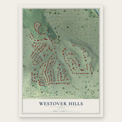
- Westover Hills 12" x 18" / Archival Matte Print $39.99
- Westworth Village 12" x 18" / Archival Matte Print $39.99

More maps nearby: Edgecliff Village, River Oaks, Aledo, Annetta South and Crowley.
The art of mapping a place
How This Map Was Made
Real places. Remarkable detail. Discover the layers that turn geographic data into a map of home.

The view from above
Aerial imagery reveals the character of the land: woodland, open fields, and the patterns of a place.

The shape of the land
Elevation data brings hills, valleys, and subtle changes in the landscape into view.

The details of home
Roads, waterways, and building footprints come together to make the map feel unmistakably local.

Geography becomes art
Considered color, shading, and typography bring the layers together in a map made for your wall.


Process illustrated with Mendon, Massachusetts. Aerial imagery: USDA NAIP. Terrain: USGS 3D Elevation Program. Map details and finished artwork: KNOWOL.
The Details
About This Print
Choose an archival matte print, or a black or white Ayous wood frame. The archival matte print is unframed.
Select your size and finish above to see the matching product image and price.
Materials & Craftsmanship
A contemporary map with the character of a classic atlas, printed on archival matte paper. Optional frames are made from Ayous wood.
Your printed map does not include the watermark shown in the full-map preview.
Shipping & Delivery
Free shipping within the United States. Every print is made to order in the USA.
Buying a gift? Add a note in your cart and we'll include it. We never put prices in the package.
Prints ship within 2 to 3 business days. Allow 7 to 10 days total from ordering for delivery. Timing may vary during holidays or periods of high order volume.
Read our shipping policy.
Returns and damaged prints
Each print is made to order. Change-of-mind refunds are not available after production.
If your print arrives damaged, misprinted or incorrect, contact support@knowol.com within 30 days of receiving it. Include your order number, photos and a description of the issue.
Read our full refund and replacement policy. For questions about your order, email support@knowol.com.