
Search for another town

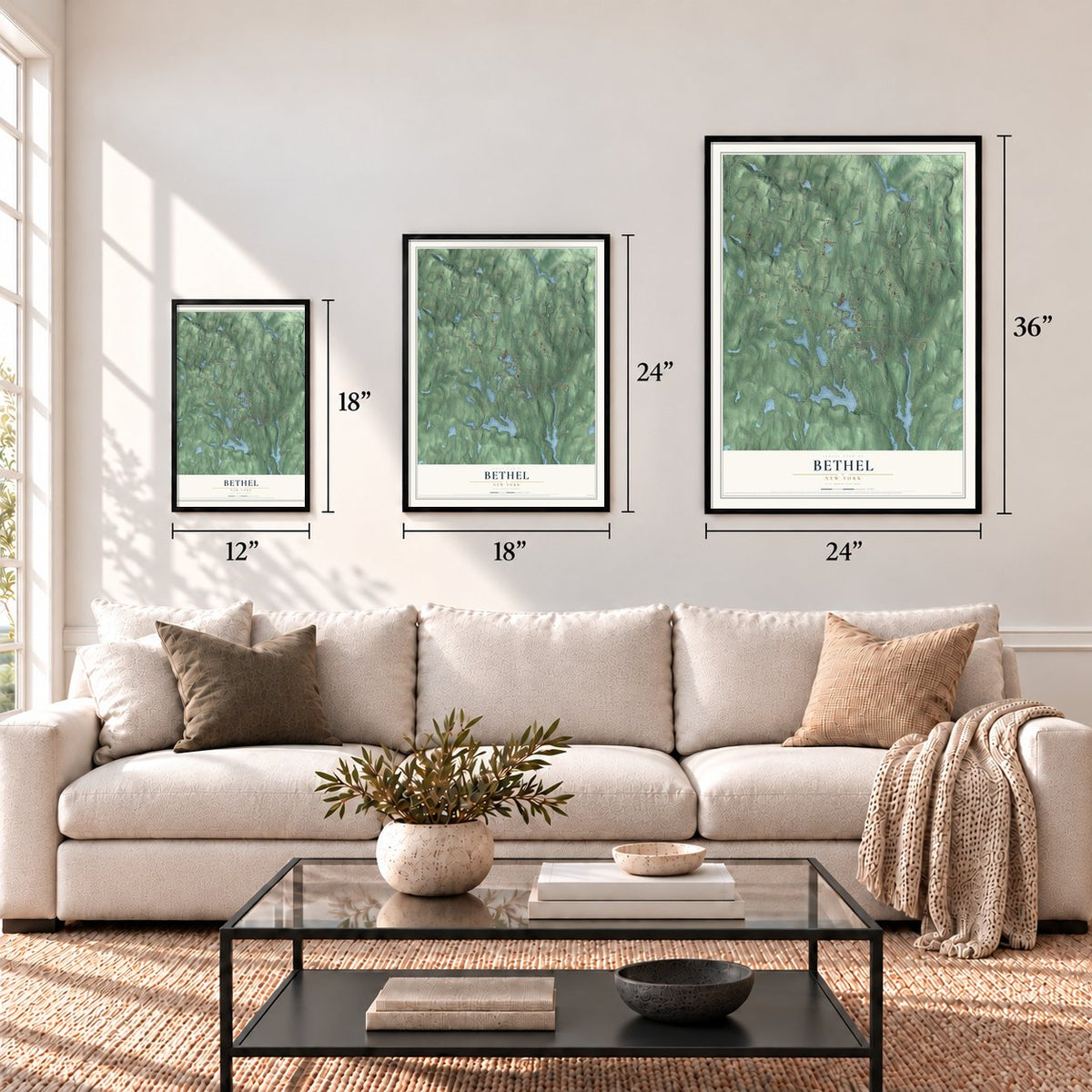

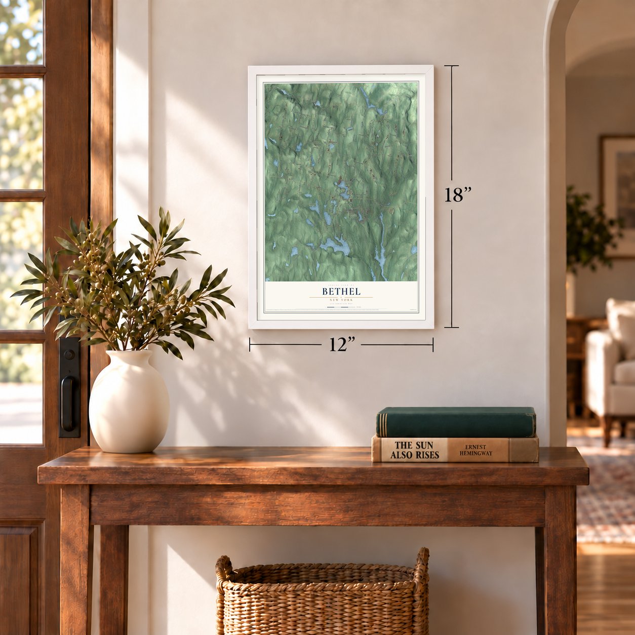

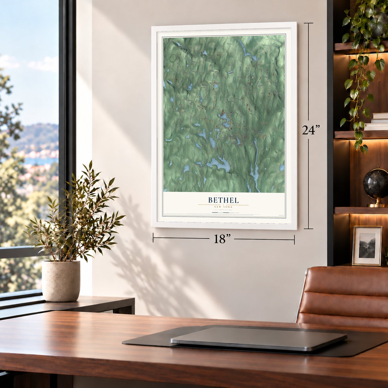

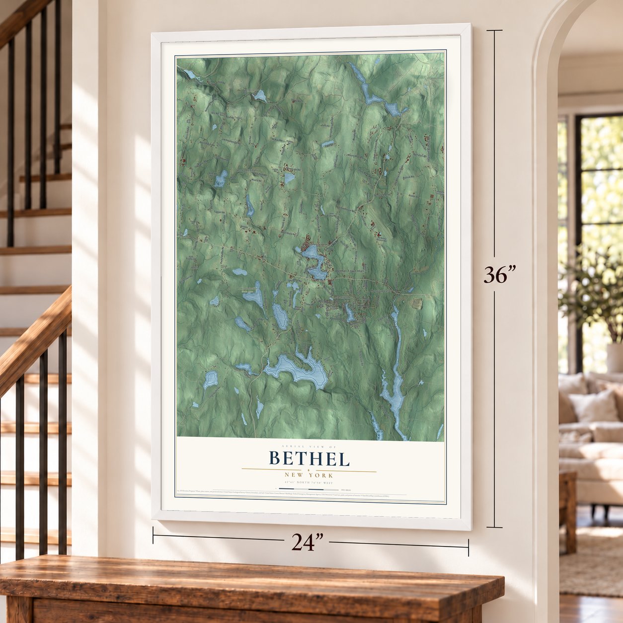

Free U.S. delivery 7 to 10 days after you order
Bethel, New York Map Art
Building by building, with labeled streets and shaded relief.
12" x 18" Archival Matte Print
A Map of Home. A Work of Art.
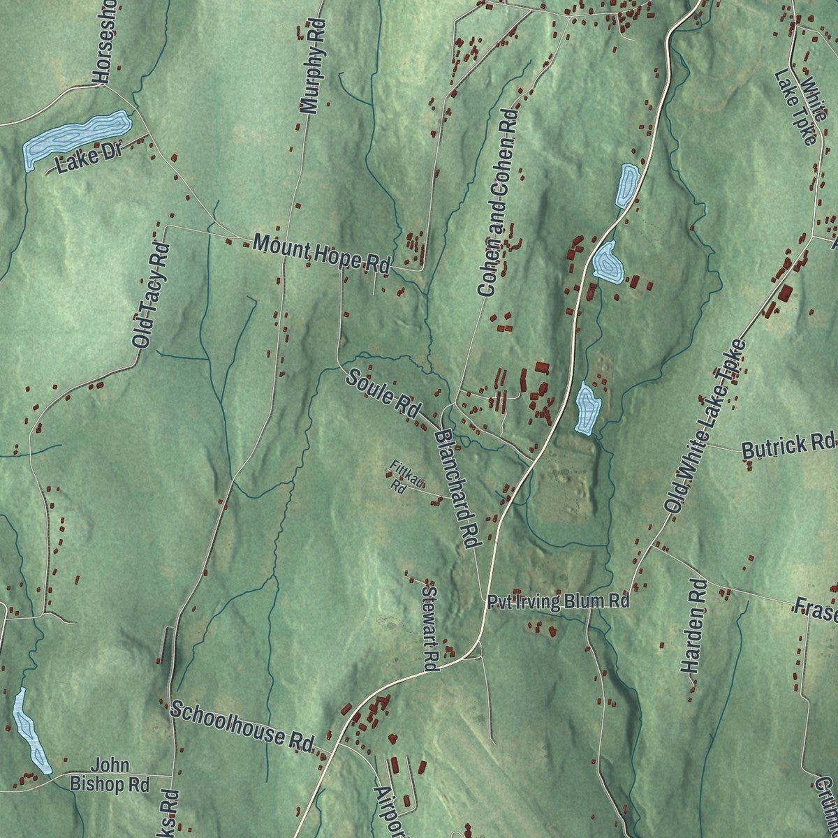
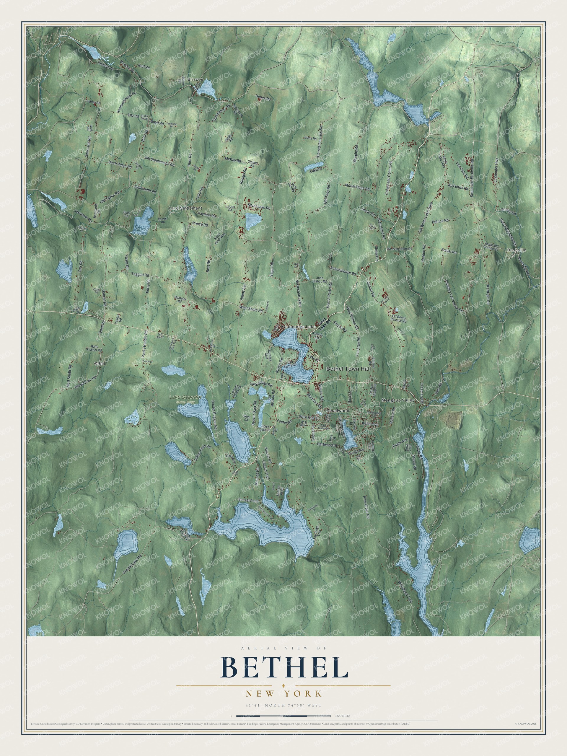
Explore Bethel, New York from a whole new perspective. Created using aerial imagery and detailed geographic data, this map captures Bethel building by building, with labeled streets, familiar landmarks, and shaded topographical relief that highlights the natural contours of the landscape.
Combining modern data with the timeless character of a vintage atlas, this map is just as interesting up close as it is beautiful on the wall. Whether you grew up in Bethel, spent memorable years there, or call it home today, this unique map is a great way to celebrate a place that means something to you. Zoom in on the preview to look for your street, and then order a print to put your memories on the wall.
Three ways to hang it
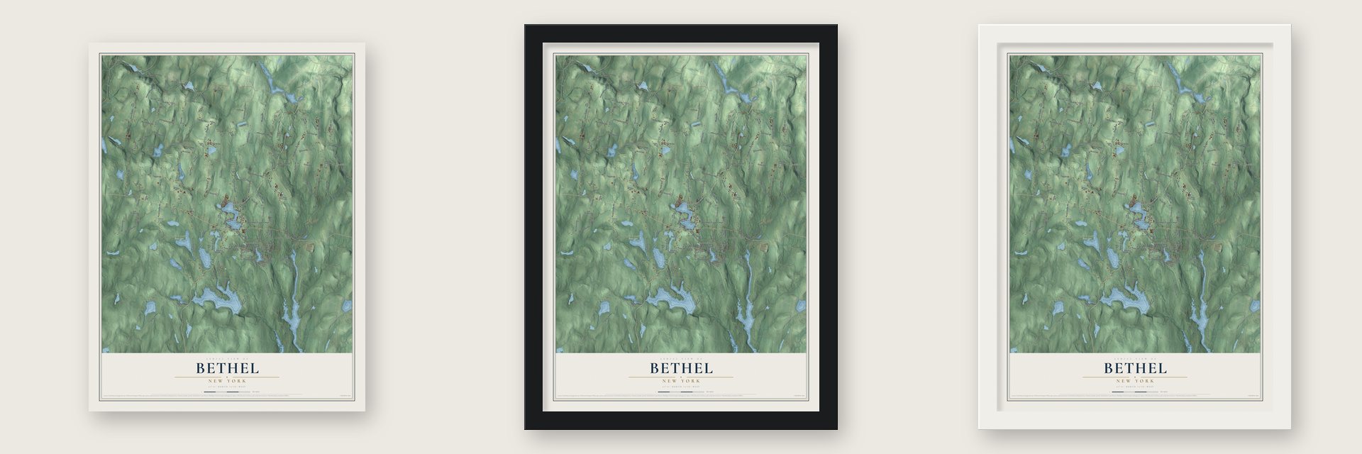
Unframed archival matte, a black wood frame or a white wood frame.
Up close
Geography Worth Displaying
This map was created using accurate cartographic data and authoritative geographic sources, including the U.S. Geological Survey (USGS) and FEMA. The map brings together terrain, waterways, roads, and building detail. The majority of the streets are labeled, houses are accurately depicted, and the topography is derived from government sources. Combining local data with carefully composed color and shading leads to this beautifully detailed Bethel artwork for your wall.
Rather than simply showing street outlines, we’ve included as many of the street names as we could reasonably fit on the map while keeping their names legible. Zoom in on the high resolution preview to see exactly what’s on the map. We truly set out to create a statement piece for anyone who loves Bethel. So whether it’s for you, or a gift for someone you love, we hope this map of Bethel brings back fond memories.
Explore the full map of Bethel, New York and read about the local places it shows.

Find your street
Names on the Bethel map
Every name below is printed on this map. Look for your street, your school, the park where you played, or the pond down the road.
Places and landmarks9
- Bethel Town Hall
- Bushville
- Briscoe
- Lake Superior State Park
- Hurd Settlement
- Kauneonga Lake
- Mongaup Valley
- Odell
- Smallwood
Streets and roads164
- Horseshoe Lake Road
- Horseshoe Lk Road
- Ap Fulton Road
- Lt Brender Highway
- Old White Lake Turnpike
- Naylor Road
- Foster Road
- Hurd Road
- Pucky Huddle Road
- Creamery Road
- West Shore Road
- Pine Grove Road
- Briscoe Road
- Mount Hope Road
- Perry Road
- Hurd & Parks Road
- Swiss Hill Road
- Airport Road
- Doctor Duggan Road
- Happy Avenue
- Chapin Trail
- Lake Ridge Road
- Lakeshore Drive
- Gale Road
- Crystal Lake Road
- Browntown Road
- Odell Road
- Jaketown Road
- Old Tacy Road
- Laymon Road
Show all 164 streets
- Laird Road
- Woodland Trail
- Gabriel Road
- Burr Road
- Behr Road
- Best Road
- Finneran Road
- Royce Road
- Plank Road
- Swan Lake Bushville Road
- Cohen and Cohen Road
- Crumley Van Vactor Road
- Fraser Road
- Segar Road
- Ranger Road
- Murphy Road
- McKay Road
- Old Taylor Road
- Blanchard Road
- Butrick Road
- Ballard Road
- Jim Stephenson Road
- Indian Field Road
- Lee Cole Road
- Sunset Point
- Birch Ridge Road
- Taggart Road
- Harris Bushville Road
- Fairweather Road
- Kortright Road
- Moscoe Road
- Soule Road
- Hubert Road
- Beaver Dam Road
- Gabriel Street
- Eltz Road
- Silver Lake Road
- Deppa Road
- Huff Road
- West Oak Street
- Walt Bishop Road
- Kilcoin Road
- Goldsmith Road
- Mattison Road
- Matt Smith Road
- Schoolhouse Road
- Hartwood Drive
- Strout Road
- Boyd Road
- Bushville Road
- Schultz Road
- Prince Road
- Eagle Avenue
- Grant Road
- Gina Lane
- Strong Road
- Lake Drive
- Harden Road
- Lake Street
- Keller Avenue
- Swan Lake Road
- Lakeview Drive
- Orange Avenue
- Lake Shore Road
- Pvt Irving Blum Road
- White Lake Turnpike
- Deer Meadow Road
- Remenschneider Road
- Apple and Gordon Road
- John Bishop Road
- Britman Road
- Silver Birch Way
- Brook Road
- Barbara Boulevard
- Toronto Pond Road
- Roslyn Ridge Road
- Top Ridge Trail
- Stevenson Road
- Pvt Benny Resnick Road
- Oxford Drive
- Stewart Road
- Lemons Brook Road
- Bernhardt Road
- Sunrise Point
- Cove Lane
- Hans Fischer Road
- Davis Road
- Iroquois Trail
- Pine Street
- Lyons Road
- Brog Road
- Fuhrer Road
- Dove Trail
- West Road
- Flower Avenue
- Balms Road
- Gempler Road
- Black Lake Court
- Stalker Road
- Smith Road
- Gold Dan Road
- Yasgur Road
- Martin Lane
- Frank Street
- May Avenue
- Buck Road
- Hilltop Road
- Homestead Trail
- Arthur South
- East Tusten Place
- Cumberland Trail
- Donaldson Road
- Overview Court
- Lake Site Drive
- Old Route 17
- Mitchell Road
- Wayne Drive
- Willi Hill Road
- Lynn Drive
- Bettino Road
- Lester Lane
- Cliff Street
- Star Lite Drive
- Townsend Road
- Pioneer Drive
- Industrial Park Road
- Fisher Road
- Fittkau Road
- Lollipop Lane
- Michel Road
- Popoff Lane
- Misty Lane
- Cohen Road
- Pine Hi Road
Names are listed as they appear on the printed map. Zoom into the product photos to find them.
About Bethel, New York
Bethel is a town of 3,959 people in Sullivan County, in the Catskills. The first European settlers came around 1795 and made homes near today's hamlets of Bethel and White Lake. In 1809 the town was carved out of Lumberland and given the name Bethel, and a tourist trade was growing by the middle of the 19th century.
For most of the 20th century, Bethel was part of the Catskills resort country called the Borscht Belt. It had many hotels and sleepaway camps, and Silver Lake alone held Camp Chipinaw, Camp Ranger and Camp Ma-Ho-Ge. The resorts had their best years from the 1930s to the early 1970s, and most have since closed, though some bungalow colonies still open each summer, serving mostly Orthodox Jewish families.
- Woodstock in 1969Woodstock was first planned for Wallkill, but when Wallkill backed out, the festival moved to Bethel. In 1969 nearly 500,000 people gathered on Max Yasgur's farm for a festival billed as "Three Days of Peace and Music." Elliot Tiber, whose parents owned the El Monaco Motel in White Lake, helped bring it here, and his book became the 2009 film Taking Woodstock. The 1970 documentary interviewed many residents, among them Art Vassmer, who co-owned Vassmers General Store.
- Bethel Woods since 2006A 1998 concert on the old festival ground inspired philanthropist Alan Gerry and his daughter Robyn to buy the land. Their Bethel Woods Center for the Arts opened there on July 1, 2006, with a New York Philharmonic concert. That August, Crosby, Stills, Nash & Young ended the first season, their first time back in Bethel since August 1969. The Museum at Bethel Woods, which remembers Woodstock and the generation behind it, followed in early 2008.
- How the hamlets got their namesSmallwood began as a vacation community called Mountain Lakes and was later renamed for its founder, A.N. Smallwood. Kauneonga Lake, where Routes 141 and 55 meet, was once known as North White Lake. Bushville, in the town's northeast corner, is named for the bushes that covered its first town site.
Keep exploring New York
Bethel is one of 2,112 New York towns we've mapped. Every dot on the map is a print of its own.
The search covers every state, New York first.
Near Bethel
Order 2 or more town maps and save 10%. Shown in the size and finish you picked above, so they hang as a set.
- White Lake 12" x 18" / Archival Matte Print $39.99
- Kauneonga Lake 12" x 18" / Archival Matte Print $39.99
- Smallwood 12" x 18" / Archival Matte Print $39.99


More maps nearby: Mongaup Valley, Swan Lake, Jeffersonville, Cochecton and Highland.
The art of mapping a place
How This Map Was Made
Real places. Remarkable detail. Discover the layers that turn geographic data into a map of home.

The view from above
Aerial imagery reveals the character of the land: woodland, open fields, and the patterns of a place.

The shape of the land
Elevation data brings hills, valleys, and subtle changes in the landscape into view.

The details of home
Roads, waterways, and building footprints come together to make the map feel unmistakably local.

Geography becomes art
Considered color, shading, and typography bring the layers together in a map made for your wall.


Process illustrated with Mendon, Massachusetts. Aerial imagery: USDA NAIP. Terrain: USGS 3D Elevation Program. Map details and finished artwork: KNOWOL.
The Details
About This Print
Choose an archival matte print, or a black or white Ayous wood frame. The archival matte print is unframed.
Select your size and finish above to see the matching product image and price.
Materials & Craftsmanship
A contemporary map with the character of a classic atlas, printed on archival matte paper. Optional frames are made from Ayous wood.
Your printed map does not include the watermark shown in the full-map preview.
Shipping & Delivery
Free shipping within the United States. Every print is made to order in the USA.
Buying a gift? Add a note in your cart and we'll include it. We never put prices in the package.
Prints ship within 2 to 3 business days. Allow 7 to 10 days total from ordering for delivery. Timing may vary during holidays or periods of high order volume.
Read our shipping policy.
Returns and damaged prints
Each print is made to order. Change-of-mind refunds are not available after production.
If your print arrives damaged, misprinted or incorrect, contact support@knowol.com within 30 days of receiving it. Include your order number, photos and a description of the issue.
Read our full refund and replacement policy. For questions about your order, email support@knowol.com.