
Search for another town




Free U.S. delivery 7 to 10 days after you order
Bethel Park, Pennsylvania Map Art
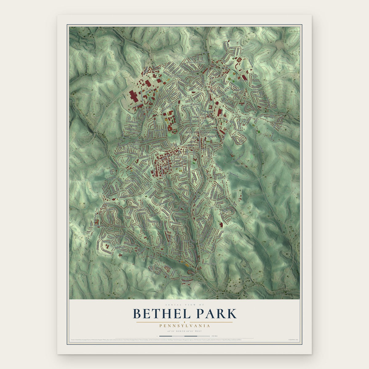
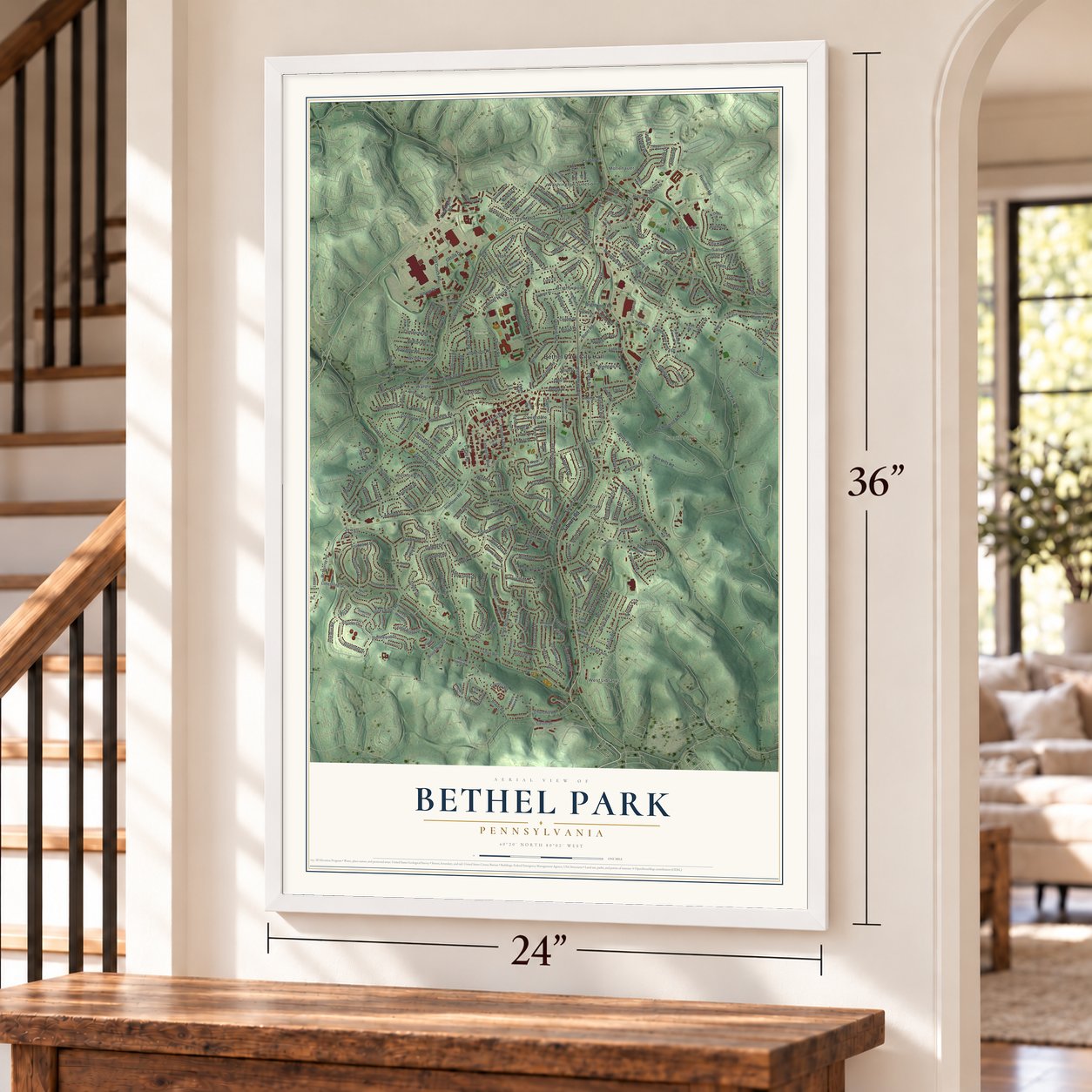
A new map of Bethel Park, Pennsylvania, made in 2026 and printed to order on thick archival matte paper.
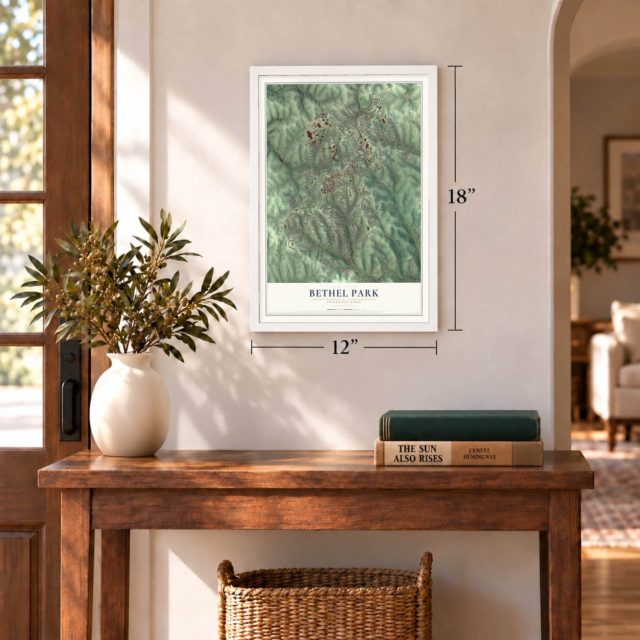
12" x 18" Archival Matte Print
A Map of Home. A Work of Art.
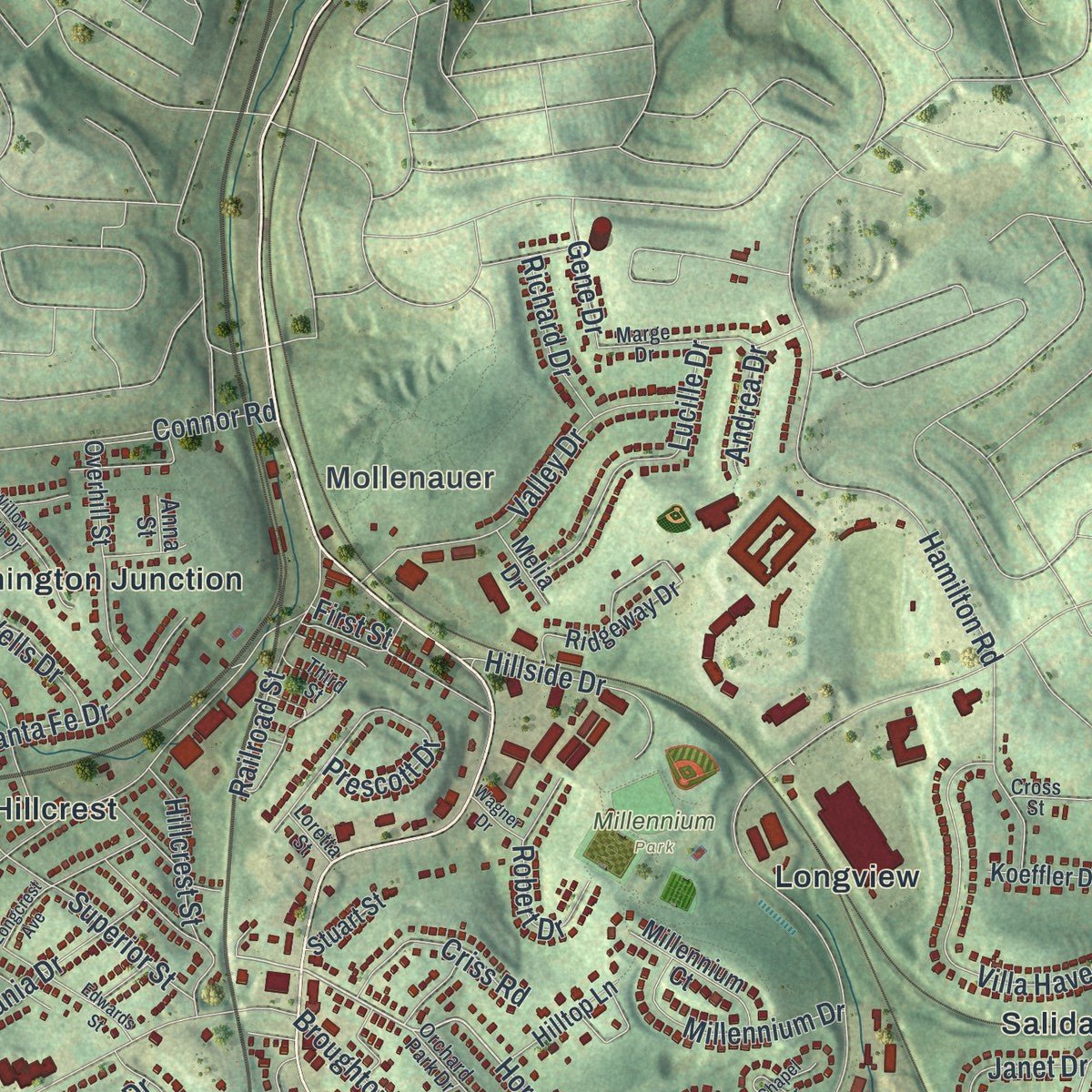
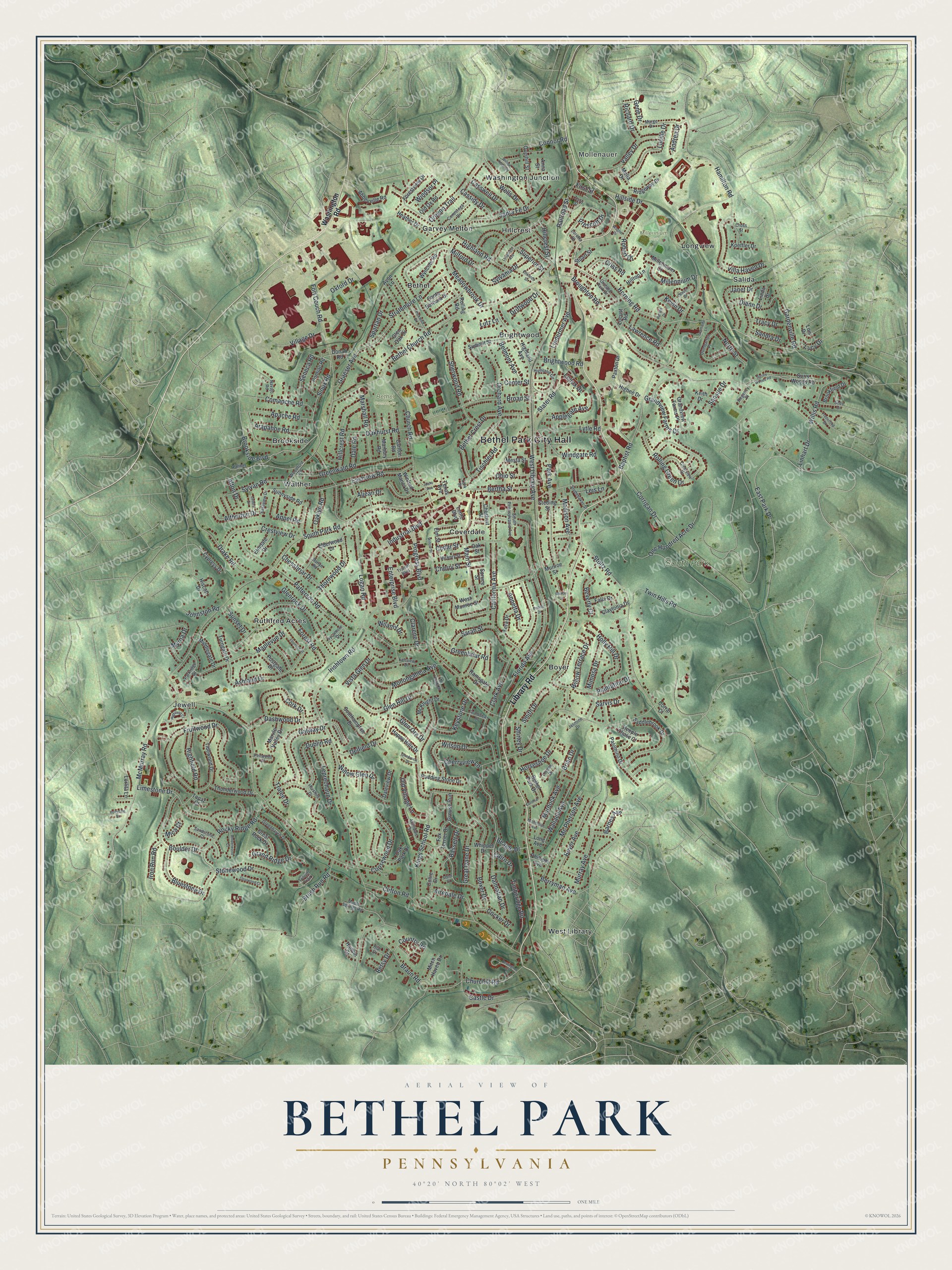
This beautifully detailed map of Bethel Park municipality, Pennsylvania was created in 2026 using aerial imagery combined with modern topographical, census, street and landmark data. It's a modern aerial view of Bethel Park municipality in Allegheny County, Pennsylvania, that combines modern data with a vintage aesthetic. Zoom in on the preview and look for your block.
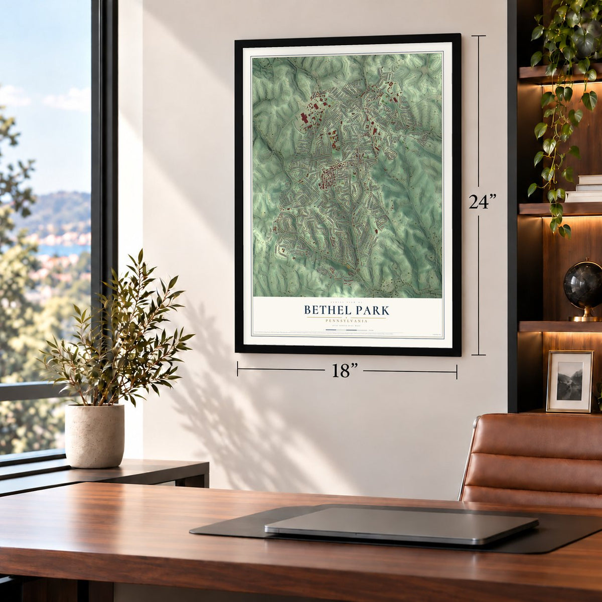
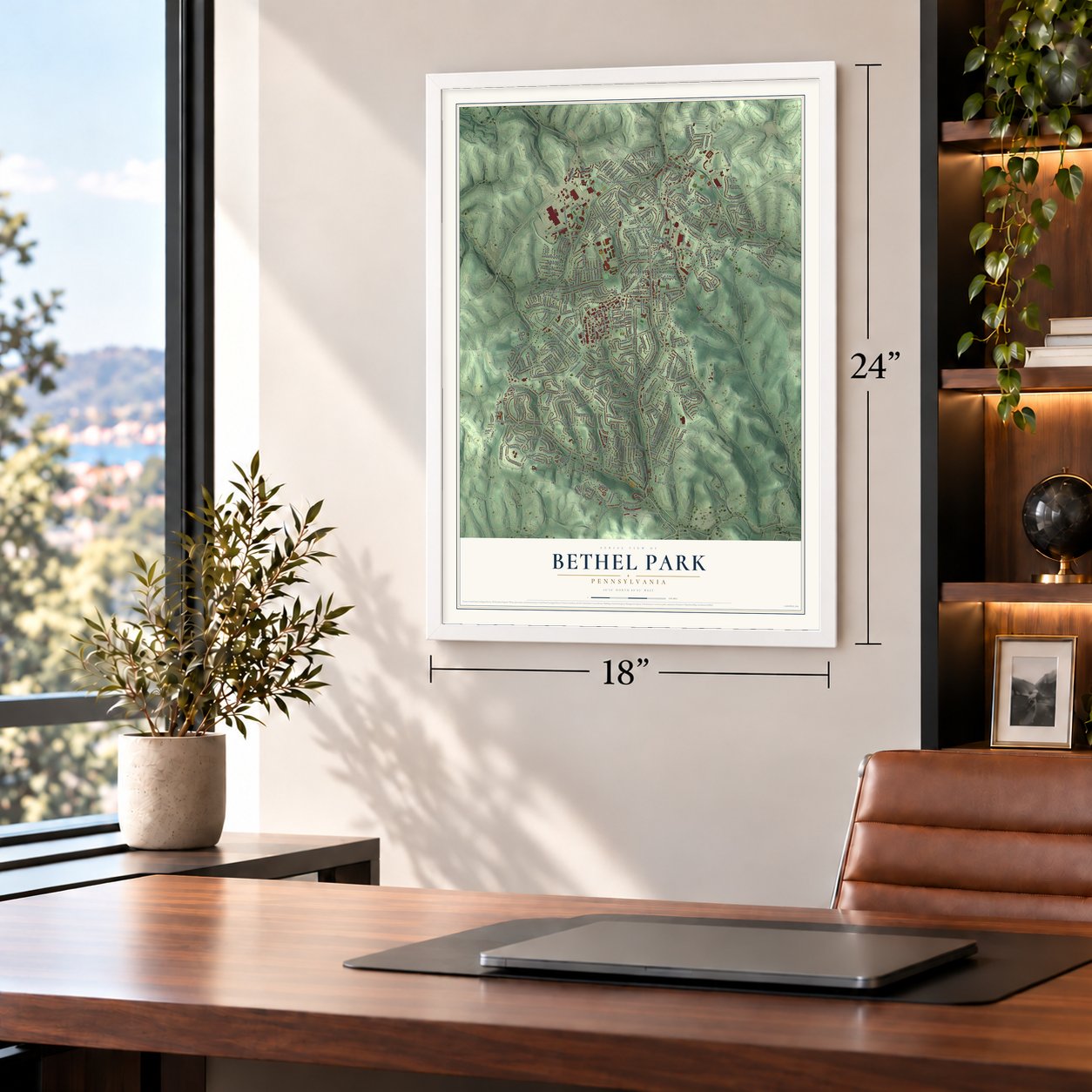
Three ways to hang it
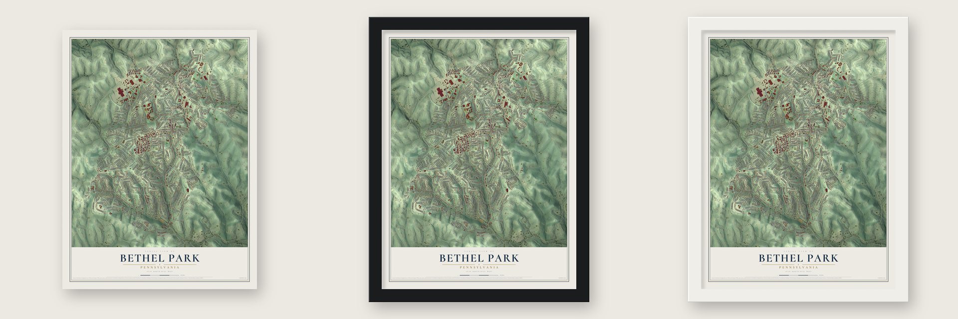
Unframed archival matte, a black wood frame or a white wood frame.
Up close
Real geography. Art worth displaying.
This map was created using accurate cartographic data and authoritative geographic sources, including the U.S. Geological Survey and the Census Bureau. The map brings together terrain, waterways, roads, and building detail. The majority of the streets are labeled, houses are accurately depicted, and the topography is derived from government sources. Combining local data with carefully composed color and shading leads to this beautifully detailed Bethel Park artwork for your wall.
Rather than simply showing street outlines, we’ve included as many of the street names as we could reasonably fit on the map while keeping their names legible. Zoom in on the high resolution preview to see exactly what’s on the map. We truly set out to create a statement piece for anyone who loves Bethel Park. So whether it’s for you, or a gift for someone you love, we hope this map of Bethel Park brings back fond memories.
Read the story behind this map of Bethel Park municipality, Pennsylvania from 2026.

About Bethel Park municipality, Pennsylvania
Bethel Park municipality is a community in Allegheny County, where the 2020 census counted 33,577 residents. Its local landscape includes civic, recreational, and historic places such as Bethel Park City Hall, Millennium Park, Bethel Cemetery, and South Park. The historical record also connects Bethel Park with the Whiskey Rebellion.
- Allegheny County CommunityBethel Park municipality is located in Allegheny County, Pennsylvania.
- 2020 PopulationThe Census Bureau recorded 33,577 people in Bethel Park municipality in 2020.
- Local PlacesNamed places include Mollenauer, Bethel, Boyer, Brightwood, Brookside, Coverdale, Garvey Melton, and Hillcrest.
- Whiskey RebellionInsurgents burned John Neville's mansion on July 16 and 17, 1794, during an escalation of the Whiskey Rebellion.
- Historic PropertiesRecorded historic resources include Boyce Station, the James Miller House, Dusmal House, and the Enoch Wright House.
Find your street
Names on the Bethel Park map
Every name below is printed on this map. Look for your street, your school, the park where you played, or the pond down the road.
Places and landmarks19
- Bethel Park City Hall
- Mollenauer
- Bethel Cemetery
- Millennium Park
- South Park
- Bethel
- Boyer
- Brightwood
- Brookside
- Coverdale
- Garvey Melton
- Hillcrest
Show all 19 places
- Jewell
- Longview
- Ruthfred Acres
- Salida
- Walther
- Washington Junction
- West Library
Streets and roads331
- Library Road
- Horning Road
- East Park Drive
- Brookside Boulevard
- Sioux Road
- South Park Road
- Clifton Road
- Bethel Church Road
- One Hundred Acre Drive
- Kings School Road
- Logan Road
- Irishtown Road
- Baptist Road
- Milford Drive
- Broughton Road
- Twin Hills Road
- Brightwood Road
- McMurray Road
- Stoltz Road
- Glen Hill Drive
- Forest Road
- Florida Avenue
- Fruitwood Drive
- Highland Road
- Corrigan Drive
- Church Road
- Patterson Road
- Broad Street
- Clark Avenue
- Industrial Boulevard
Show all 331 streets
- Rolling Green Drive
- Hamilton Road
- West Library Avenue
- Thornwood Drive
- Fort Couch Road
- Ashland Drive
- Dalmatian Drive
- Rocky Ridge Road
- Galway Drive
- Murray Avenue
- Boyer Avenue
- Eastview Road
- California Avenue
- Park Avenue
- Berryman Avenue
- Santa Fe Drive
- Orchard Avenue
- Boxer Drive
- Greenwald Road
- Dublin Road
- Bethel Crest Drive
- Sarah Street
- Brush Run Road
- Oxford Drive
- Highfield Road
- Glenrock Drive
- Sylvan Road
- Wilson Drive
- Progress Boulevard
- Churchill Road
- Delfield Drive
- Sherwood Road
- Graeser Avenue
- Main Street
- Maplevue Drive
- Limestone Drive
- Villa Haven Drive
- Chessbriar Drive
- Boulder Drive
- Mc Pherson Avenue
- Superior Street
- Wallace Avenue
- Valley Drive
- Cork Drive
- Crestview Drive
- Willis Road
- Oakhurst Road
- Monongahela Avenue
- Comanche Road
- Willow Terrace Drive
- Copsewood Drive
- Meadowbrook Drive
- Prescott Drive
- Casswell Drive
- Braun Road
- Sylvania Drive
- Lindermer Avenue
- Strathmore Lane
- Oregon Trail
- Hillcrest Road
- Bertha Street
- Enterprise Boulevard
- Dashwood Drive
- Marshall Road
- Lawrence Road
- Lucille Drive
- Willow Glen Drive
- Drake Road
- Timberidge Road
- Cedar Street
- Lenox Drive
- Windgate Road
- Bluestone Drive
- Center Street
- Horseshoe Drive
- Tischler Road
- Lytle Road
- Janet Drive
- Arapahoe Road
- Holly Hill Drive
- Plantation Drive
- Leprechaun Drive
- Gardenville Road
- Madison Avenue
- Wells Drive
- Keystone Drive
- Grandview Farms Drive
- Apache Road
- Greenbriar Road
- Murdock Avenue
- Slater Road
- Castle Drive
- Vista Glen Drive
- Old Village Lane
- Airedale Drive
- Spartan Drive
- Millennium Drive
- Hillside Drive
- Diann Drive
- Village Drive
- Great Dane Drive
- Robert Drive
- Applegate Avenue
- Annetta Drive
- Cherryview Lane
- North Street
- Appel Road
- Mimosa Drive
- Connor Road
- Seneca Road
- Linhart Drive
- Kevin Drive
- Clarene Drive
- Criss Road
- Belmont Avenue
- Railroad Street
- Oaklyn Road
- Cairn Drive
- Bassett Drive
- Grand Ridge Drive
- Ohio Street
- Cocker Drive
- Hillcrest Street
- Aljean Drive
- Cassidy Drive
- Andrea Drive
- Altherton Drive
- Country Road
- Glen Ora Drive
- Iron Run Road
- Richard Drive
- Stonewood Drive
- Wilamit Drive
- Tracy Drive
- Windsor Place
- Sunset Drive
- Smith Drive
- Johnston Road
- Sansue Drive
- Tralee Drive
- Beverly Court
- Brian Drive
- Myrna Drive
- Driftwood Drive
- Beagle Drive
- Cherry Street
- Sandra Drive
- Barnes Avenue
- Dale Road
- Shirley Drive
- Gene Drive
- Leis Lane
- Betsy Drive
- Alton Drive
- Sarvis Drive
- Mica Court
- Lucy Drive
- Lutz Lane
- First Street
- Washington Road
- Summit Street
- Fox Terrier Drive
- West Munroe Street
- Paxton Drive
- Tidewood Drive
- Highland Avenue
- Saddlebrook Drive
- Elderwood Drive
- Oak Park Drive
- Surry Woods Road
- Overhill Street
- Ridgeway Drive
- Chestnut Street
- Thunderwood Drive
- Long Avenue
- Marbury Road
- Carlton Road
- Wyncote Road
- Southampton Drive
- Pudding Stone Drive
- Great Rock Drive
- Pontiac Road
- Santa Barbara Drive
- Heather Drive
- Mesta Street
- Elm Street
- Collie Drive
- Phillippi Avenue
- Winfred Manor Drive
- Grouse Run
- Old Ox Road
- Forestview Drive
- Millennium Court
- Grandview Farms Place
- Steeple Chase Court
- Sunnyside Road
- Middlegate Drive
- Bethel Park Drive
- McKnight Drive
- Mitch Haven Drive
- Glen Oak Drive
- Postgate Drive
- Marvle Valley Drive
- Happy Hills Drive
- Falla Drive
- Palomino Drive
- Donati Road
- Abbeyville Road
- Hilltop Lane
- Brookfield Drive
- Fera Drive
- Elmdale Drive
- Locust Road
- Turngate Drive
- Daleview Drive
- Claytonia Drive
- Higbee Drive
- Steding Street
- Lento Boulevard
- Cypress Drive
- Whippet Drive
- Rolling Road
- Koeffler Drive
- Lorlita Lane
- Keith Drive
- Ramsgate Drive
- Linda Drive
- Hiscott Drive
- Stuart Street
- Hamlin Drive
- Munroe Street
- Melia Drive
- Spruce Street
- Corral Court
- Texas Avenue
- Oak Street
- Topaz Court
- Avon Lane
- Anna Street
- Lois Drive
- Dumbarton Place
- Highland Circle
- Jasmine Drive
- Allandale Drive
- Hershire Drive
- Conestoga Drive
- Greenhaven Drive
- Clearview Drive
- South Pennsylvania Avenue
- Marge Drive
- Parkridge Drive
- Woodford Road
- Fairview Drive
- Transit Boulevard
- Navajo Road
- Studebaker Street
- Eastview Drive
- Snee Drive
- Sandstone Court
- Hickory Street
- Orchard Park Drive
- Third Street
- Sycamore Drive
- Maple Springs Road
- Walther Lane
- Penwood Court
- Regency Place
- Lorene Drive
- Rial Drive
- Loretta Street
- Trilium Trail
- Barlyn Road
- Cross Street
- Lark Street
- Highfield Court
- Pickwick Drive
- Florence Street
- Surrey Woods Road
- Grandview Drive
- Longcrest Avenue
- Berrington Court
- Fredericka Drive
- Edwards Street
- Willow Heath Drive
- Willow Street
- Opalwood Court
- Amberwood Court
- Mc Knight Drive
- Ladera Drive
- Bethelman Avenue
- Chapel Drive
- Germaine Lane
- Glenbrook Drive
- Hollydale Drive
- Idaho Avenue
- Wagner Drive
- Colonial Lane
- Hartlin Drive
- Winton Drive
- Denise Drive
- Setter Place
Names are listed as they appear on the printed map. Zoom into the product photos to find them.
The art of mapping a place
How This Map Was Made
Real places. Remarkable detail. Discover the layers that turn geographic data into a map of home.

The view from above
Aerial imagery reveals the character of the land: woodland, open fields, and the patterns of a place.

The shape of the land
Elevation data brings hills, valleys, and subtle changes in the landscape into view.

The details of home
Roads, waterways, and building footprints come together to make the map feel unmistakably local.

Geography becomes art
Considered color, shading, and typography bring the layers together in a map made for your wall.


Process illustrated with Mendon, Massachusetts. Aerial imagery: USDA NAIP. Terrain: USGS 3D Elevation Program. Map details and finished artwork: KNOWOL.
The Details
About This Print
Choose an archival matte print, or a black or white Ayous wood frame. The archival matte print is unframed.
Select your size and finish above to see the matching product image and price.
Materials & Craftsmanship
A contemporary map with the character of a classic atlas, printed on archival matte paper. Optional frames are made from Ayous wood.
Your printed map does not include the watermark shown in the full-map preview.
Shipping & Delivery
Free shipping within the United States. Every print is made to order in the USA.
Buying a gift? Add a note in your cart and we'll include it. We never put prices in the package.
Prints ship within 2 to 3 business days. Allow 7 to 10 days total from ordering for delivery. Timing may vary during holidays or periods of high order volume.
Read our shipping policy.
Returns and damaged prints
Each print is made to order. Change-of-mind refunds are not available after production.
If your print arrives damaged, misprinted or incorrect, contact support@knowol.com within 30 days of receiving it. Include your order number, photos and a description of the issue.
Read our full refund and replacement policy. For questions about your order, email support@knowol.com.
Find your town
Looking for another city?
Find a map of home in our Pennsylvania collection.
Nearby
Maps of towns near Bethel Park
Know someone from one of these towns? Their map makes a great gift.
 Upper St. Clair
, Pennsylvania
From $39.99See the map
 South Park
, Pennsylvania
From $39.99See the map
 Castle Shannon
, Pennsylvania
From $39.99See the map
More maps nearby: Whitehall, Mount Lebanon, McMurray, Baldwin and Pleasant Hills.