
Search for another town




Free U.S. delivery 7 to 10 days after you order
Upper St. Clair, Pennsylvania Map Art
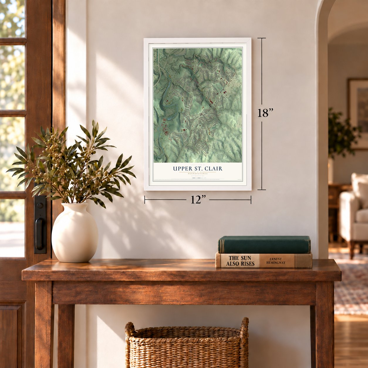
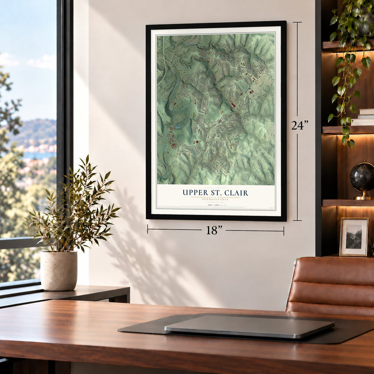
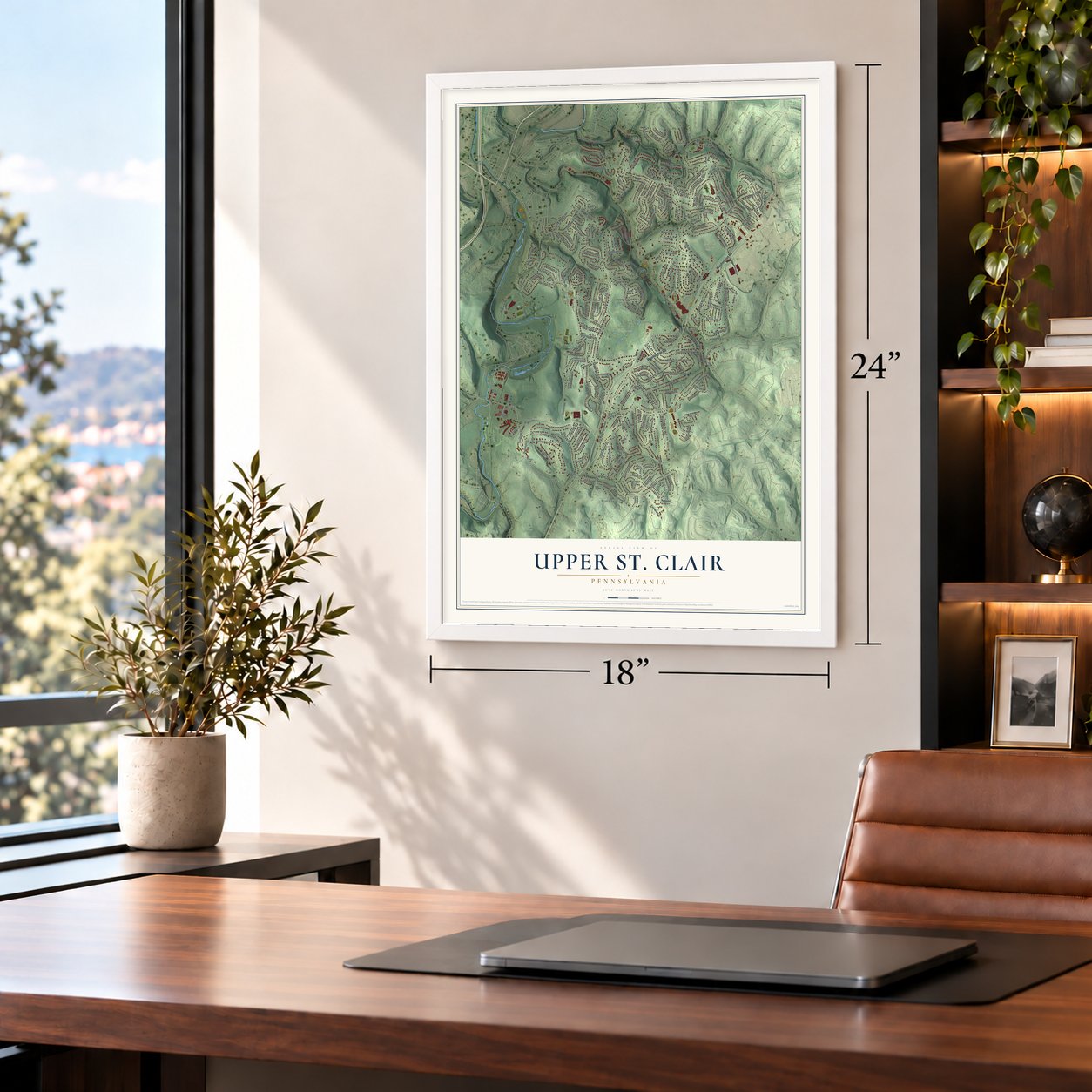
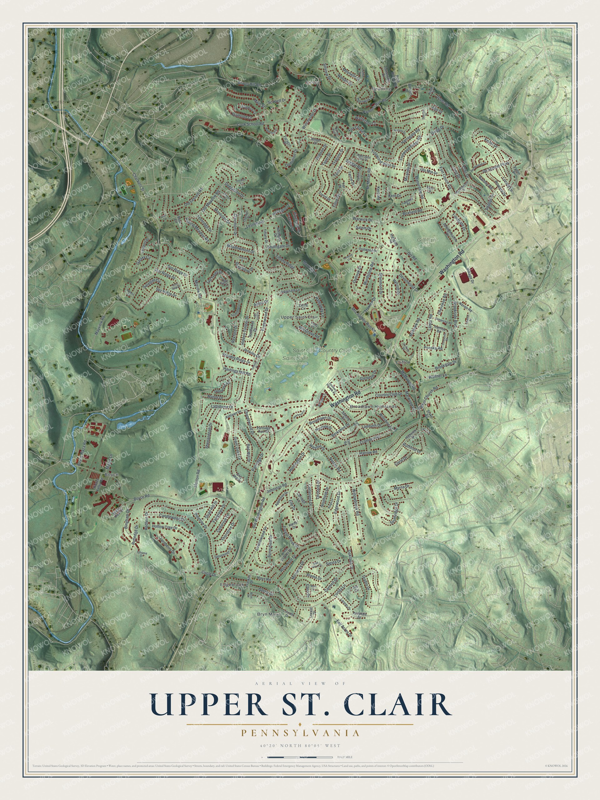
A new map of Upper St. Clair, Pennsylvania, made in 2026 and printed to order on thick archival matte paper.
12" x 18" Archival Matte Print
A Map of Home. A Work of Art.
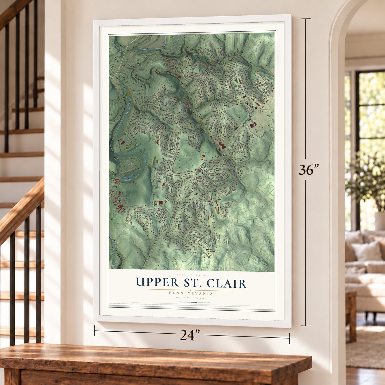
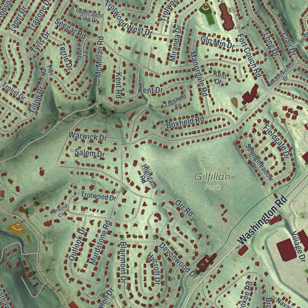
This beautifully detailed map of Upper St. Clair, Pennsylvania was created in 2026 using aerial imagery combined with modern topographical, census, street and landmark data. Zoom in on the preview and look for your block.
Three ways to hang it
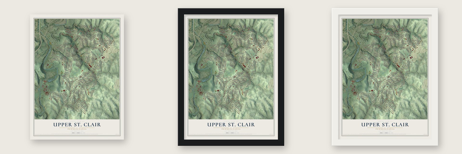
Unframed archival matte, a black wood frame or a white wood frame.
Up close
Real geography. Art worth displaying.
This map was created using accurate cartographic data and authoritative geographic sources, including the U.S. Geological Survey and the Census Bureau. The map brings together terrain, waterways, roads, and building detail. The majority of the streets are labeled, houses are accurately depicted, and the topography is derived from government sources. Combining local data with carefully composed color and shading leads to this beautifully detailed Upper St. Clair artwork for your wall.
Rather than simply showing street outlines, we’ve included as many of the street names as we could reasonably fit on the map while keeping their names legible. Zoom in on the high resolution preview to see exactly what’s on the map. We truly set out to create a statement piece for anyone who loves Upper St. Clair. So whether it’s for you, or a gift for someone you love, we hope this map of Upper St. Clair brings back fond memories.
Read the story behind this map of Upper St. Clair, Pennsylvania from 2026.

About Upper St. Clair, Pennsylvania
Upper St. Clair is a home rule township in southern Allegheny County, about 11 miles south of Downtown Pittsburgh. The 2020 census recorded 21,160 residents. Its documented history extends from John Fife's settlement in 1762 through the division of St. Clair Township in 1836 and the adoption of home rule in 1973.
- An Early SettlerJohn Fife settled near today's Washington and McLaughlin Run roads in 1762.
- Township DividedSt. Clair Township was split into Upper St. Clair and Lower St. Clair in 1836.
- Home RuleUpper St. Clair adopted a home rule charter in 1973, and it took effect on January 5, 1976.
- Parks and FieldsAbout 9% of the township is devoted to 14 parks and multiple fields, covering approximately 733 acres.
- Public SchoolsThe township's public school district includes three elementary schools, two middle schools, and one high school.
Find your street
Names on the Upper St. Clair map
Every name below is printed on this map. Look for your street, your school, the park where you played, or the pond down the road.
Places and landmarks11
- Essen
- Beadling
- Bryn Mawr
- Baker Park
- Gilfillan Park
- Saint Clair Country Club
- Boyce
- Broadlawn Highlands
- Clifton
- Edgebrook
- Upper Saint Clair
Streets and roads243
- Washington Road
- McMurray Road
- Brookside Boulevard
- McLaughlin Run Road
- Old Washington Road
- Morrow Road
- Morton Road
- Lesnett Road
- Boyce Road
- Mayview Road
- Fort Couch Road
- McMillan Road
- Cook School Road
- Old Meadow Road
- Painters Run Road
- Orr Road
- Hays Road
- Johnston Road
- Lambeth Drive
- Hastings Mill Road
- Blairmont Drive
- Murdstone Road
- Warwick Drive
- Seegar Road
- Giant Oaks Drive
- Long Drive
- Clairmont Drive
- Willowbrook Road
- Corteland Drive
- Country Club Drive
Show all 243 streets
- Scarlett Drive
- Redfern Drive
- Lindenwood Drive
- Taper Drive
- Clair Drive
- Hollow Tree Drive
- Carmell Drive
- Sky Ridge Drive
- Oaklawn Drive
- Tilton Drive
- Rossmoor Drive
- Tall Trees Drive
- Locust Lane
- Lorlita Lane
- Berkshire Drive
- Hycroft Drive
- Pinetree Drive
- Rolling Meadow Road
- Bower Hill Road
- Mill Grove Road
- Greystone Drive
- Cramden Road
- Huntington Drive
- Engelwood Drive
- Hathaway Lane
- Sunnyfield Drive
- Monterey Drive
- Harrogate Road
- Fox Chase Lane
- Aljo Drive
- Myrna Drive
- Devonwood Drive
- Hidden Timber Drive
- Chapelwood Drive
- Norton Road
- Brookdale Drive
- Edgewood Drive
- Fieldgate Drive
- Southvue Drive
- Tragone Drive
- Old Lesnett Road
- Deepwood Drive
- Tiffany Ridge
- Miranda Drive
- Ruthfred Drive
- Winchester Drive
- Gerrie Drive
- Alamo Drive
- Main Street
- Manor Drive
- Southgate Drive
- Marwood Drive
- Jenkins Drive
- Outlook Drive
- Thorntree Drive
- Candlewood Drive
- Upper Road
- Bartley Road
- Keifer Drive
- Ponoka Road
- Boxfield Road
- Bingham Drive
- Trotwood Ridge Road
- Dominion Drive
- Sun Ridge Drive
- Manordale Road
- Shenandoah Drive
- Montclair Drive
- Fife Drive
- Galaxy Circle
- Phillips Drive
- Trotwood West Drive
- Truxton Drive
- Red Mill Drive
- Cedarvue Drive
- Partridge Drive
- Harrow Road
- Lattidome Drive
- Bethel Church Road
- Satellite Circle
- De Arment Parkway
- Diamond Court
- Village Drive
- Circle Drive
- Mohawk Road
- Broadlawn Drive
- Howard Drive
- Scenery Ridge Drive
- Star Ridge Drive
- Fairgreen Drive
- Forest Brook Drive
- Norsen Drive
- Lamar Road
- Tyris Drive
- Turnberry Drive
- Quigg Drive
- Wiltshire Drive
- Robson Drive
- Boyce Plaza Road
- Kent Road
- Kent Drive
- Southridge Drive
- Diablo Drive
- Siesta Drive
- Watterson Court
- Morrow Lane
- Rutledge Drive
- Cherokee Road
- Fair Acres Drive
- Meadowmont Drive
- Casa Drive
- Pinehurst Drive
- Terrie Drive
- Glo Min Drive
- Salem Drive
- Quail Hill Drive
- Fernridge Drive
- Walther Lane
- Orchard Drive
- Moynelle Drive
- Coral Drive
- Chartiers Street
- Sillview Drive
- Weston Drive
- Glendale Drive
- Maple Lane
- Rexford Drive
- Aetna Drive
- Lincoln Drive
- Village Court
- Trotwood Drive
- Franklin Drive
- Partridge Run Road
- Highview Drive
- Thornwick Drive
- Somerville Drive
- Tiffany Drive
- Southwood Drive
- Northgate Drive
- Ashlawn Drive
- Ivanhoe Road
- Hidden Valley Road
- Springmeadow Drive
- Grey Mill Drive
- Allison Drive
- Laredo Drive
- Glenwood Road
- Maryland Drive
- Wellington Drive
- Langport Drive
- Gloucester Drive
- Sidgefield Lane
- Sapphire Court
- Forrest Estates Drive
- Navajo Road
- Appletree Drive
- Saxony Drive
- Drake Road
- Carriage Lane
- Paragon Place
- Trolist Drive
- Locust Drive
- Highgate Road
- Pineview Drive
- Patton Drive
- Scenic View Drive
- Robb Hollow Road
- Painters Drive
- Hollydale Drive
- Hardy Drive
- Ewing Circle
- Kent Court
- Rose Circle
- Eton Road
- Tier Drive
- Rio Circle
- Southern Hilands Drive
- Comanche Road
- Chartwell Drive
- Kings Lane
- Tyburn Lane
- Hunters Path Lane
- Meadowcrest Drive
- Hempstead Lane
- Southampton Drive
- Waterford Court
- Topsfield Road
- Upper Saint Clair Drive
- Polaris Circle
- Cochise Drive
- Sylvania Drive
- Skender Drive
- Bridge Street
- High Oak Court
- Valley Court
- York Road
- Rose Drive
- Golfview Drive
- Lamson Circle
- Heartwood Drive
- Westgate Drive
- Lochlin Drive
- Conewanta Road
- Moon Ridge Drive
- Shawnee Road
- High Sierra Circle
- Cypress Drive
- Pheasant Circle
- Trotwood Circle
- High Knoll Drive
- Sequoia Drive
- Mesa Circle
- Aster Circle
Names are listed as they appear on the printed map. Zoom into the product photos to find them.
The art of mapping a place
How This Map Was Made
Real places. Remarkable detail. Discover the layers that turn geographic data into a map of home.

The view from above
Aerial imagery reveals the character of the land: woodland, open fields, and the patterns of a place.

The shape of the land
Elevation data brings hills, valleys, and subtle changes in the landscape into view.

The details of home
Roads, waterways, and building footprints come together to make the map feel unmistakably local.

Geography becomes art
Considered color, shading, and typography bring the layers together in a map made for your wall.


Process illustrated with Mendon, Massachusetts. Aerial imagery: USDA NAIP. Terrain: USGS 3D Elevation Program. Map details and finished artwork: KNOWOL.
The Details
About This Print
Choose an archival matte print, or a black or white Ayous wood frame. The archival matte print is unframed.
Select your size and finish above to see the matching product image and price.
Materials & Craftsmanship
A contemporary map with the character of a classic atlas, printed on archival matte paper. Optional frames are made from Ayous wood.
Your printed map does not include the watermark shown in the full-map preview.
Shipping & Delivery
Free shipping within the United States. Every print is made to order in the USA.
Buying a gift? Add a note in your cart and we'll include it. We never put prices in the package.
Prints ship within 2 to 3 business days. Allow 7 to 10 days total from ordering for delivery. Timing may vary during holidays or periods of high order volume.
Read our shipping policy.
Returns and damaged prints
Each print is made to order. Change-of-mind refunds are not available after production.
If your print arrives damaged, misprinted or incorrect, contact support@knowol.com within 30 days of receiving it. Include your order number, photos and a description of the issue.
Read our full refund and replacement policy. For questions about your order, email support@knowol.com.
Find your town
Looking for another city?
Find a map of home in our Pennsylvania collection.
Nearby
Maps of towns near Upper St. Clair
Know someone from one of these towns? Their map makes a great gift.
 Bridgeville
, Pennsylvania
From $39.99See the map
 Bethel Park
, Pennsylvania
From $39.99See the map
 Mount Lebanon
, Pennsylvania
From $39.99See the map
More maps nearby: McMurray, Scott, Heidelberg, Castle Shannon and Peters.