


Search for another town




Free U.S. delivery 7 to 10 days after you order
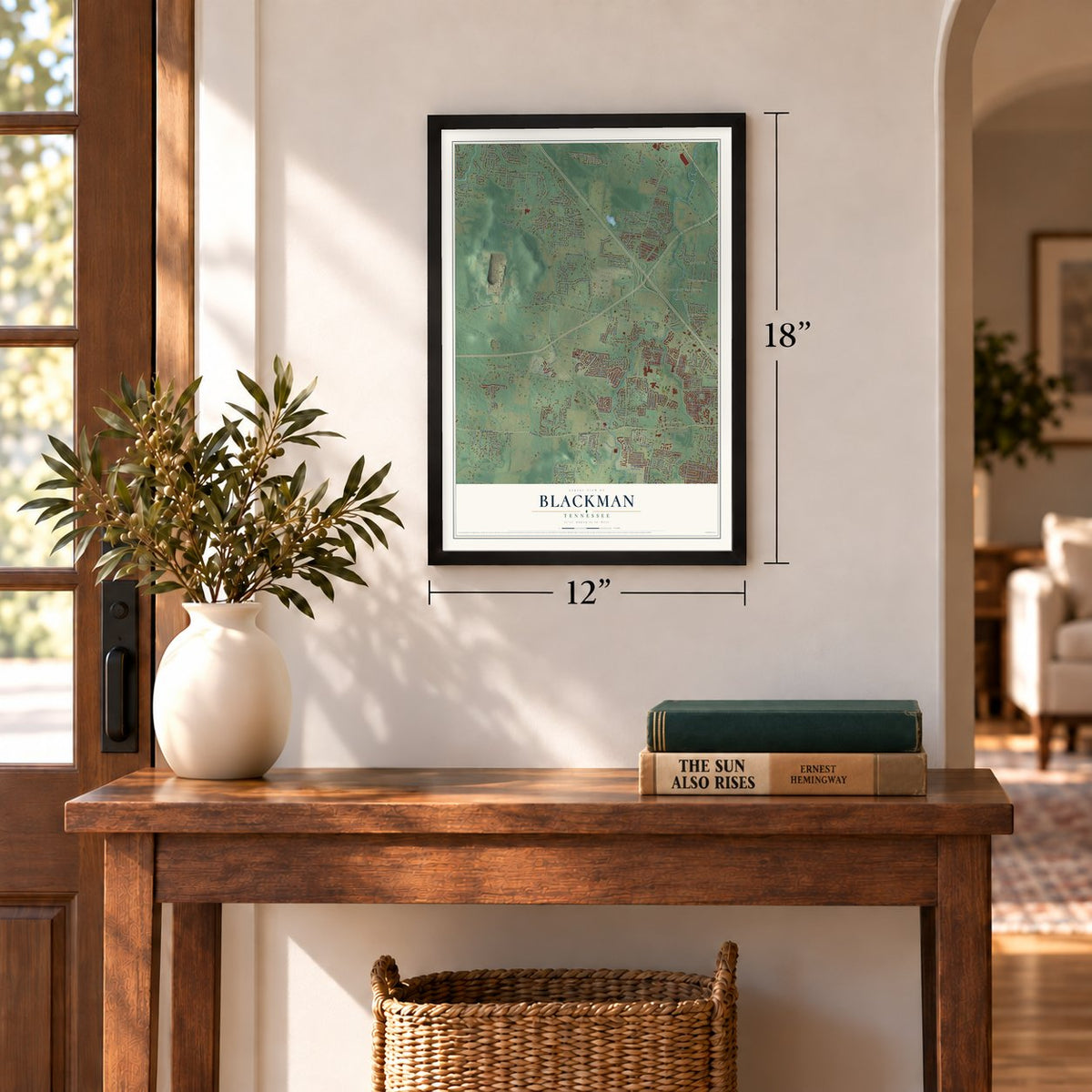
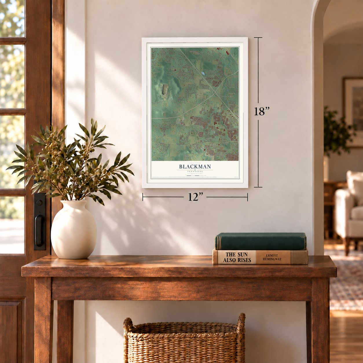
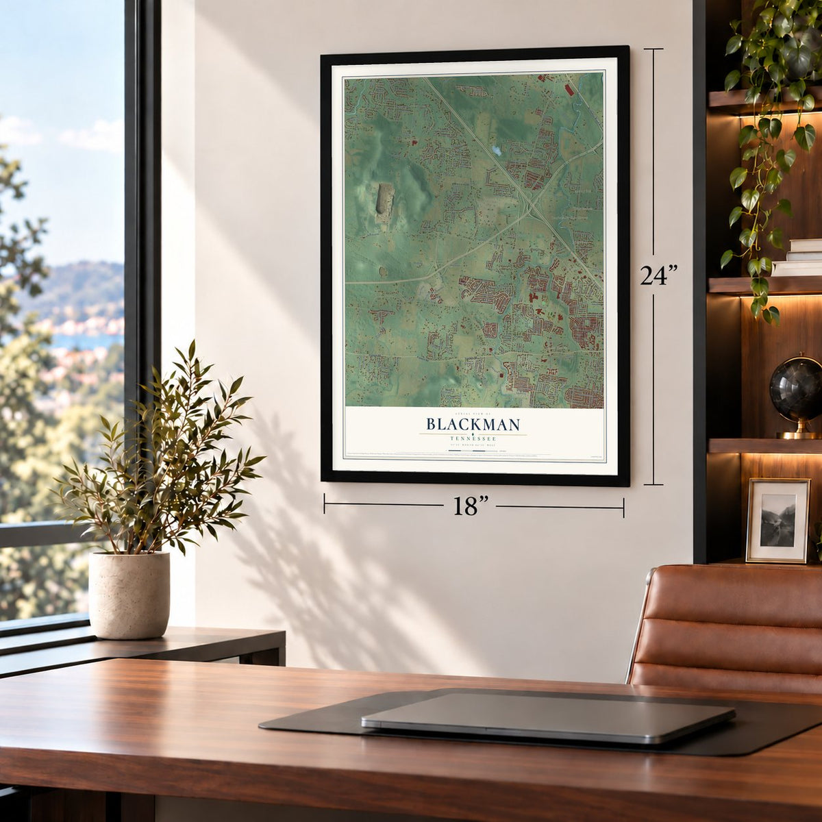
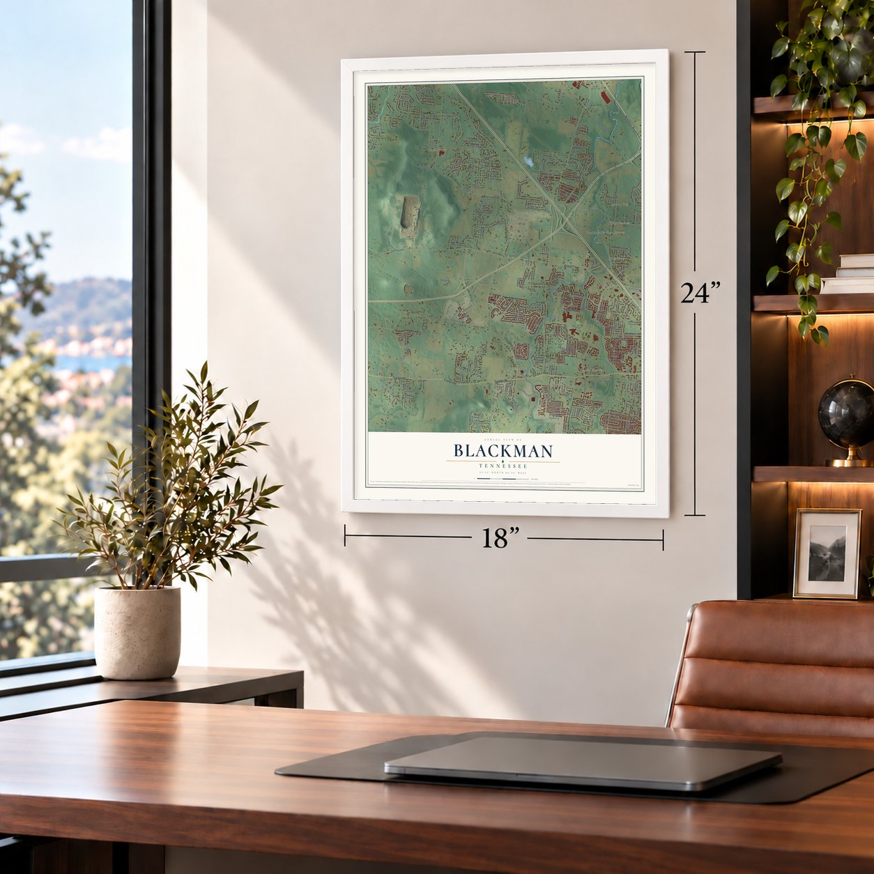
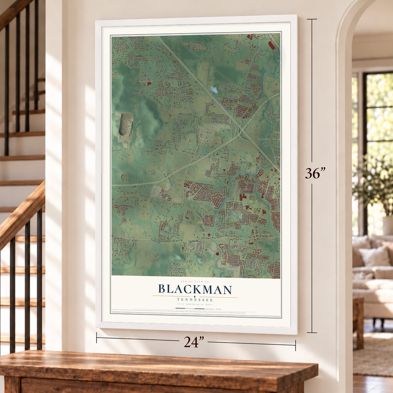
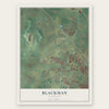
Blackman, Tennessee Map Art
Building by building, with labeled streets and shaded relief.
12" x 18" Archival Matte Print
A Map of Home. A Work of Art.
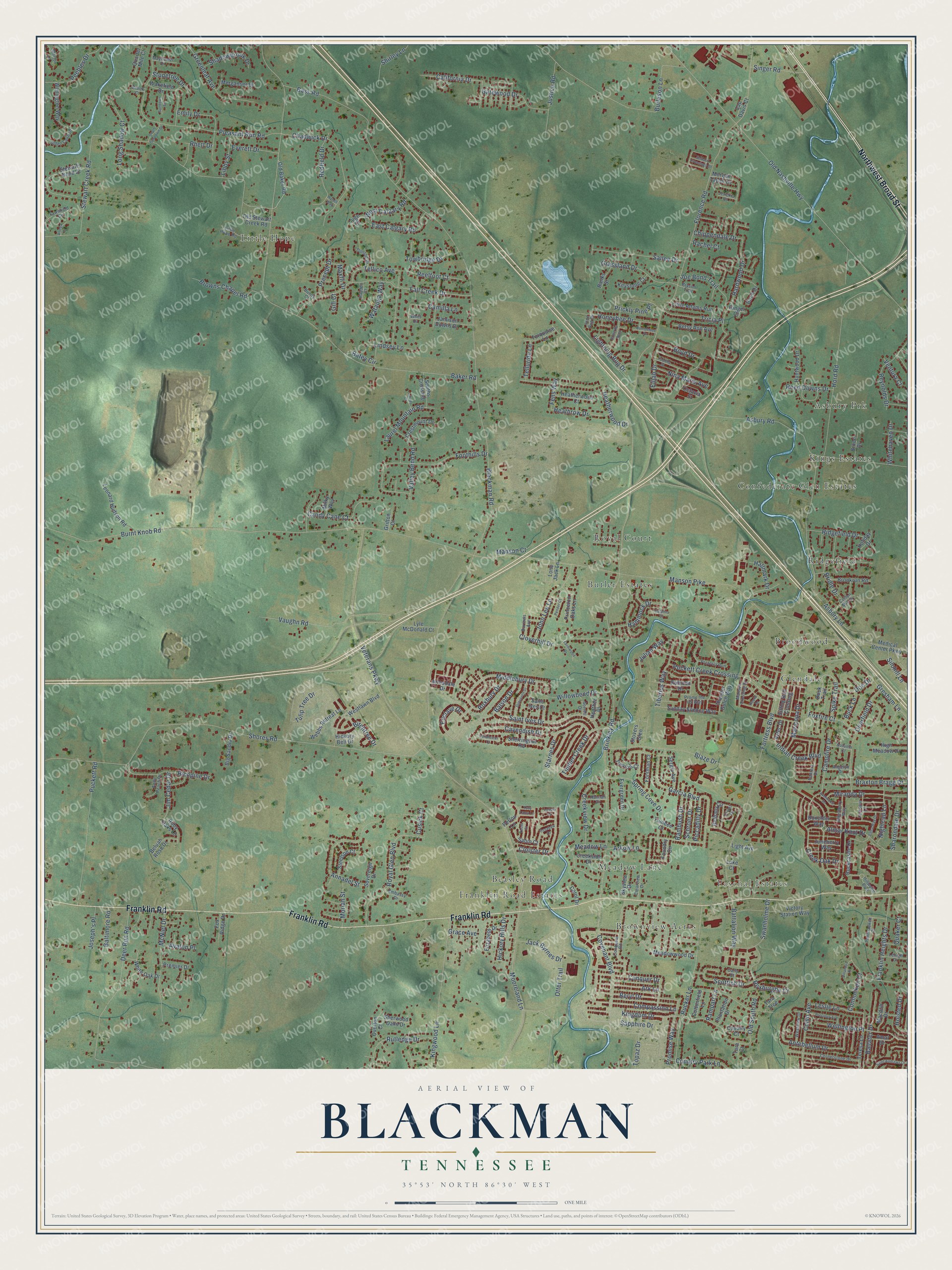
Explore Blackman, Tennessee from a whole new perspective. Created using aerial imagery and detailed geographic data, this map captures Blackman building by building, with labeled streets, familiar landmarks, and shaded topographical relief that highlights the natural contours of the landscape.
Combining modern data with the timeless character of a vintage atlas, this map is just as interesting up close as it is beautiful on the wall. Whether you grew up in Blackman, spent memorable years there, or call it home today, this unique map is a great way to celebrate a place that means something to you. Zoom in on the preview to look for your street, and then order a print to put your memories on the wall.
Three ways to hang it
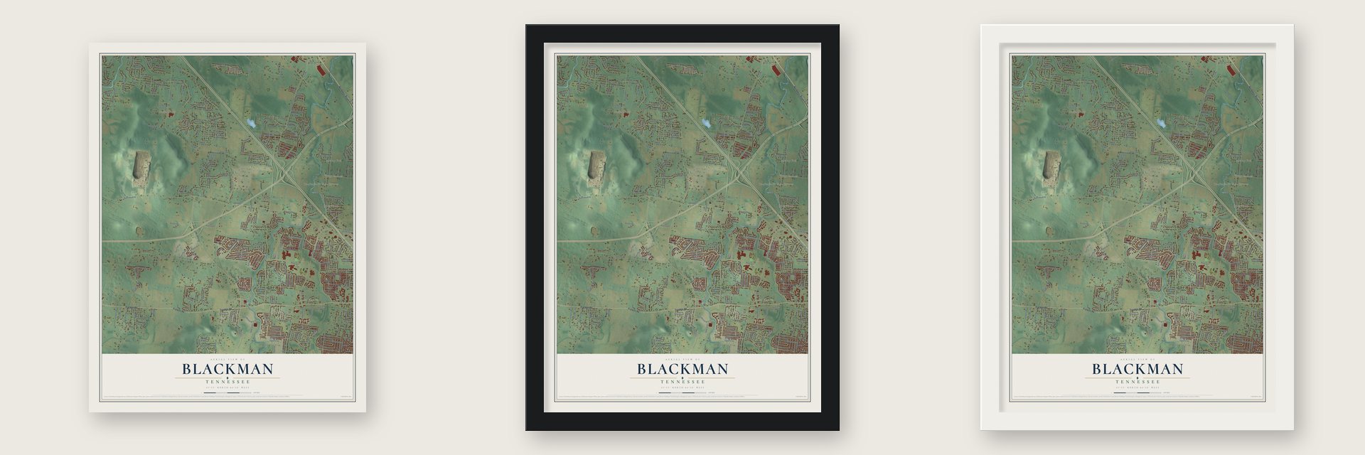
Unframed archival matte, a black wood frame or a white wood frame.
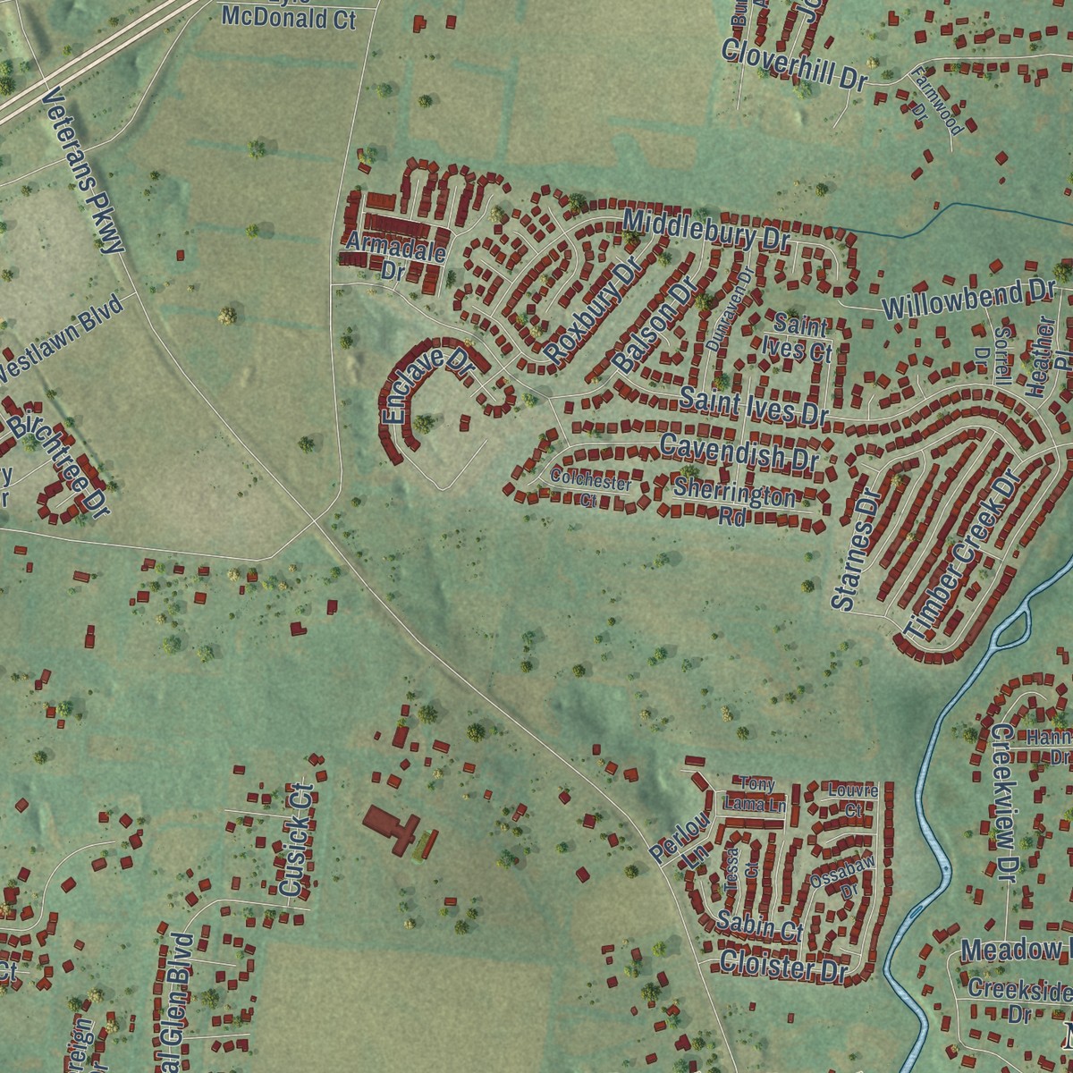
Up close
Geography Worth Displaying
This map was created using accurate cartographic data and authoritative geographic sources, including the U.S. Geological Survey and the Census Bureau. The map brings together terrain, waterways, roads, and building detail. The majority of the streets are labeled, houses are accurately depicted, and the topography is derived from government sources. Combining local data with carefully composed color and shading leads to this beautifully detailed Blackman artwork for your wall.
Rather than simply showing street outlines, we’ve included as many of the street names as we could reasonably fit on the map while keeping their names legible. Zoom in on the high resolution preview to see exactly what’s on the map. We truly set out to create a statement piece for anyone who loves Blackman. So whether it’s for you, or a gift for someone you love, we hope this map of Blackman brings back fond memories.
Read the story behind this map: Detailed Map of Blackman, Tennessee.
Find your street
Names on the Blackman map
Every name below is printed on this map. Look for your street, your school, the park where you played, or the pond down the road.
Places and landmarks14
- Paschal Estates
- Kings Estates
- Butler Estates
- Little Hope
- Beasley Road
- Broodwood
- Ridgefield
- Brownview Acres
- Confederate Glen Estates
- Asbury Prk
- Royal Court
- Meadow Lane
Show all 14 places
- Glendale
- Franklin Road Estates
Streets and roads312
- Franklin Road
- Northwest Broad Street
- Blackman Road
- Veterans Parkway
- Florence Road
- Baker Road
- Burnt Knob Road
- Manson Pike
- Shores Road
- Old Nashville Highway
- Asbury Road
- Stewart Creek Road
- Brinkley Road
- Blaze Drive
- Fortress Boulevard
- Hord Road
- Deer Run Road
- Vaughn Road
- Asbury Lane
- Pleasant Run Road
- Burleson Lane
- Saint Ives Drive
- Mooreland Lane
- Covenant Boulevard
- Rucker Lane
- Fall Creek Drive
- Foothills Drive
- Kingwood Lane
- Chadwick Drive
- Hardwood Drive
Show all 312 streets
- Puckett Road
- Gresham Lane
- Garcia Boulevard
- Tellico Avenue
- Sapphire Drive
- Royal Glen Boulevard
- Annadel Street
- Old South Road
- Kingdom Drive
- Puckett Creek Crossing
- Deerfield Drive
- McNiel Drive
- Antebellum Drive
- Almar Knot Drive
- Spring Cove Drive
- Scottish Drive
- Foxfire Court
- Spike Trail
- Middlebury Drive
- Tulip Tree Drive
- Greenleaf Avenue
- Valley Bend Road
- Cloverhill Drive
- Campfire Drive
- Creek Oak Drive
- Wellington Place
- Bass Road
- Sallee Drive
- California Drive
- Richpine Drive
- Compassion Lane
- Conhocken Court
- Honeybee Drive
- John Lee Lane
- Franklin Heights Drive
- Rutledge Drive
- Swanholme Drive
- Beryl Drive
- Braxton Bragg Drive
- Miranda Drive
- Long Shadow Court
- Boyd Drive
- Emily Drive
- Cloister Drive
- Grassland Drive
- Reynolds Drive
- Candy Cane Court
- Redfield Drive
- Roxburghe Court
- Browns Chapel Road
- Camilla Lane
- East Calgary Road
- Justice Road
- Peebles Drive
- Ridgefield Drive
- Enclave Drive
- Gatewood Drive
- Starnes Drive
- Cavendish Drive
- Timber Creek Drive
- Colyn Avenue
- Ballater Drive
- Indian Creek Boulevard
- Hammock Drive
- Willowbend Drive
- Laurel Mountain Road
- Maricopa Drive
- Creekview Drive
- Tiberius Way
- Promise Way
- Roxbury Drive
- Ark Lane
- Conquer Drive
- Joe Bond Trail
- Tricia Place
- Heathrow Drive
- Heatherwood Drive
- Shadowbrook Drive
- Balson Drive
- Nina Marie Avenue
- Schroer Drive
- Leslie Lane
- Towbridge Drive
- Sharondale Drive
- Singer Road
- Rambush Drive
- Shirley Lane
- Topaz Drive
- Country Park Lane
- Jim Cedar Drive
- Reed Downs Drive
- Jack Byrnes Drive
- Rhett Drive
- Birchtree Drive
- Reelfoot Court
- Nightcap Lane
- West Calgary Road
- Precept Drive
- Chippendale Drive
- Everett Drive
- Moriah Street
- Quaker Court
- Lightning Bug Drive
- Hickory Hills Drive
- Battalion Way
- Bridle Drive
- Silohill Lane
- Libby Street
- Otter Trail
- Grace Avenue
- Watauga Way
- Julian Way
- Stonetree Drive
- Elijah Drive
- Whitehaven Drive
- Arkow Lane
- Piccadilly Drive
- Lindsey Lane
- Joseph's Place
- Holsted Drive
- Maxfli Drive
- Prickly Pine Place
- Manson Court
- Doe Drive
- Rampart Lane
- Telluride Lane
- Baltimore Road
- Hallmark Drive
- Batey Circle
- Avalon Place
- Buck Lane
- Ventura Court
- Fens Way
- Cusick Court
- Rachel Court
- Gill Court
- Meadowwood Drive
- Stewarts Bend Drive
- Westlawn Boulevard
- Victory Station Way
- Leonard Hudson Road
- Duck Trail
- Sunday Silence Way
- Bethany Circle
- Forsman Court
- Foundry Circle
- Rockcastle Drive
- Wellington Way
- Teresa Lane
- Old Baker Road
- Morgan Taylor Drive
- Webbs Retreat Lane
- Old Stewart Creek Road
- Little Adams Run
- Crestmount Drive
- Overton Court
- White Oak Drive
- Heatherwood Court
- Brookrun Road
- Boxelder Way
- Thunder Gulch Way
- Betsy Ann Avenue
- Rubicon Drive
- Jamison Downs Drive
- Princeton Oaks Lane
- Birch Drive
- Wakefield Drive
- Ruby Oaks Lane
- Steelson Court
- Stovers Glen
- Lyle McDonald Court
- Sovereign Drive
- Huntwood Drive
- Medical Center Parkway
- Sergio Avenue
- Elizabeth Drive
- Turquoise Lane
- Big Sandia Drive
- Smiths Crossing
- Merganser Drive
- Luke Court
- Perlou Lane
- High Meadow Drive
- Keystone Court
- Saint Ives Court
- Beluah Rose Drive
- Sherrington Road
- Evergreen Drive
- Hickory Bell Drive
- Sherwood Oaks Drive
- Juneberry Way
- Plantation Drive
- Creekside Drive
- Quarter Mile Court
- Sitting Bull Crossing
- Skyview Drive
- Sabin Court
- Heather Place
- Trevino Court
- Macduff Drive
- Cottonfield Lane
- Bruce Drive
- Tara Trce
- Premier Drive
- Tombee Court
- Fox Ridge Drive
- Banks Street
- Cavalry Court
- Amal Drive
- Armadale Drive
- Aztec Drive
- Light Avenue
- Milky Way
- Cap Davis Court
- Gritton Court
- Holiday Drive
- Octavia Street
- Carol Drive
- Lone Jack Lane
- Luge Court
- Ginger Court
- Tara Court
- Pretoria Run
- Elderberry Way
- Conquest Road
- Cornerstone Drive
- Manson Crossing Drive
- Prome the US Way
- Little Hope Road
- Pantera Drive
- Burrows Avenue
- Alden Cove Drive
- Hillwood Boulevard
- Westview Drive
- Cotton Mill Drive
- Fawnfield Circle
- Andy Peach Drive
- Clearview Drive
- Larkspur Lane
- Pennsauken Court
- Lehigh Drive
- Angelyn Drive
- Dunlop Drive
- Mayflower Drive
- Autumn Court
- Hannah Drive
- Embassy Drive
- Sorrell Drive
- Morton Lane
- Bryson Trail
- Jerickia Court
- Whitt Drive
- June Bug Drive
- Hayden Court
- Olivet Drive
- Carly Court
- Bundy Court
- Brook Court
- Precious Avenue
- Butterfly Bend
- Dunraven Drive
- Tabitha Street
- Saint Andrews Drive
- Ossabaw Drive
- Axelwood Drive
- Pender Court
- Edna May Drive
- Sundown Drive
- Seward Crossings Drive
- Bumblebee Drive
- South Sundown Drive
- Colchester Court
- Farmwood Drive
- Villanova Place
- Catalina Court
- Tessa Court
- Laurel Court
- Tony Lama Lane
- Altoga Court
- Louvre Court
- Round Drive
- Wynell Way
Names are listed as they appear on the printed map. Zoom into the product photos to find them.
About Blackman, Tennessee
This Rutherford County community was founded in 1808 under the name Blackman's Shop. Before the Civil War, the town already had churches, a school, a store and doctors. Residents marked the town's 200th birthday at their yearly barbecue, held at the middle school.
Keep exploring Tennessee
Blackman is one of 640 Tennessee towns we've mapped. Every dot on the map is a print of its own.
The search covers every state, Tennessee first.
Near Blackman
Order 2 or more town maps and save 10%. Shown in the size and finish you picked above, so they hang as a set.
- Murfreesboro 12" x 18" / Archival Matte Print $39.99
- Overall 12" x 18" / Archival Matte Print $39.99
- Salem 12" x 18" / Archival Matte Print $39.99


More maps nearby: Rocky Fork, Smyrna, Rockvale, Barfield and Arrington.
The art of mapping a place
How This Map Was Made
Real places. Remarkable detail. Discover the layers that turn geographic data into a map of home.

The view from above
Aerial imagery reveals the character of the land: woodland, open fields, and the patterns of a place.

The shape of the land
Elevation data brings hills, valleys, and subtle changes in the landscape into view.

The details of home
Roads, waterways, and building footprints come together to make the map feel unmistakably local.

Geography becomes art
Considered color, shading, and typography bring the layers together in a map made for your wall.


Process illustrated with Mendon, Massachusetts. Aerial imagery: USDA NAIP. Terrain: USGS 3D Elevation Program. Map details and finished artwork: KNOWOL.
The Details
About This Print
Choose an archival matte print, or a black or white Ayous wood frame. The archival matte print is unframed.
Select your size and finish above to see the matching product image and price.
Materials & Craftsmanship
A contemporary map with the character of a classic atlas, printed on archival matte paper. Optional frames are made from Ayous wood.
Your printed map does not include the watermark shown in the full-map preview.
Shipping & Delivery
Free shipping within the United States. Every print is made to order in the USA.
Buying a gift? Add a note in your cart and we'll include it. We never put prices in the package.
Prints ship within 2 to 3 business days. Allow 7 to 10 days total from ordering for delivery. Timing may vary during holidays or periods of high order volume.
Read our shipping policy.
Returns and damaged prints
Each print is made to order. Change-of-mind refunds are not available after production.
If your print arrives damaged, misprinted or incorrect, contact support@knowol.com within 30 days of receiving it. Include your order number, photos and a description of the issue.
Read our full refund and replacement policy. For questions about your order, email support@knowol.com.