
Search for another town

Free U.S. delivery 7 to 10 days after you order
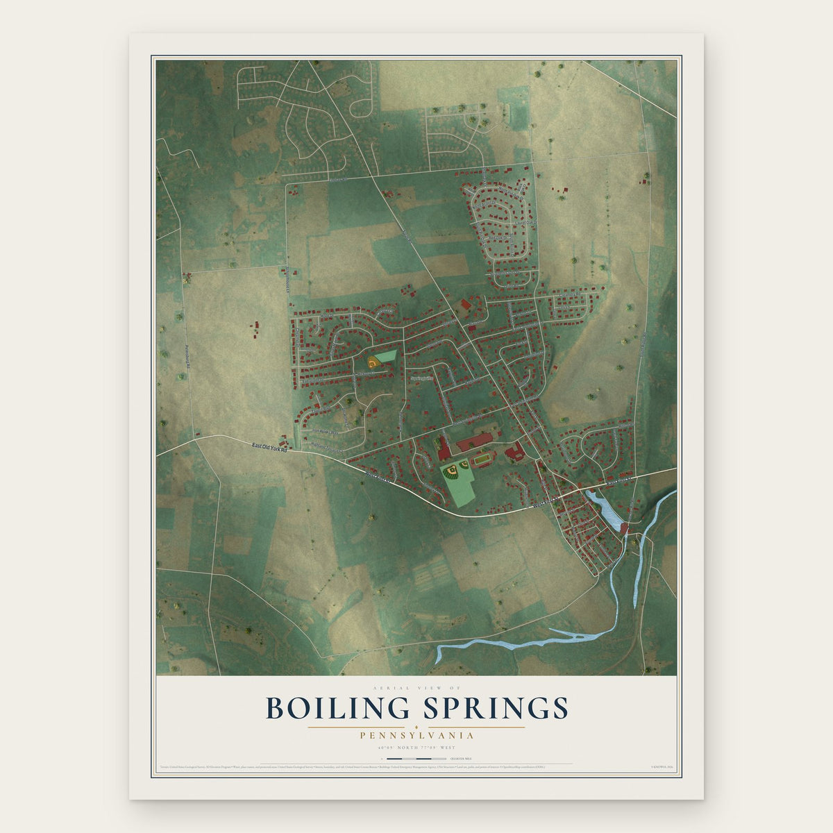
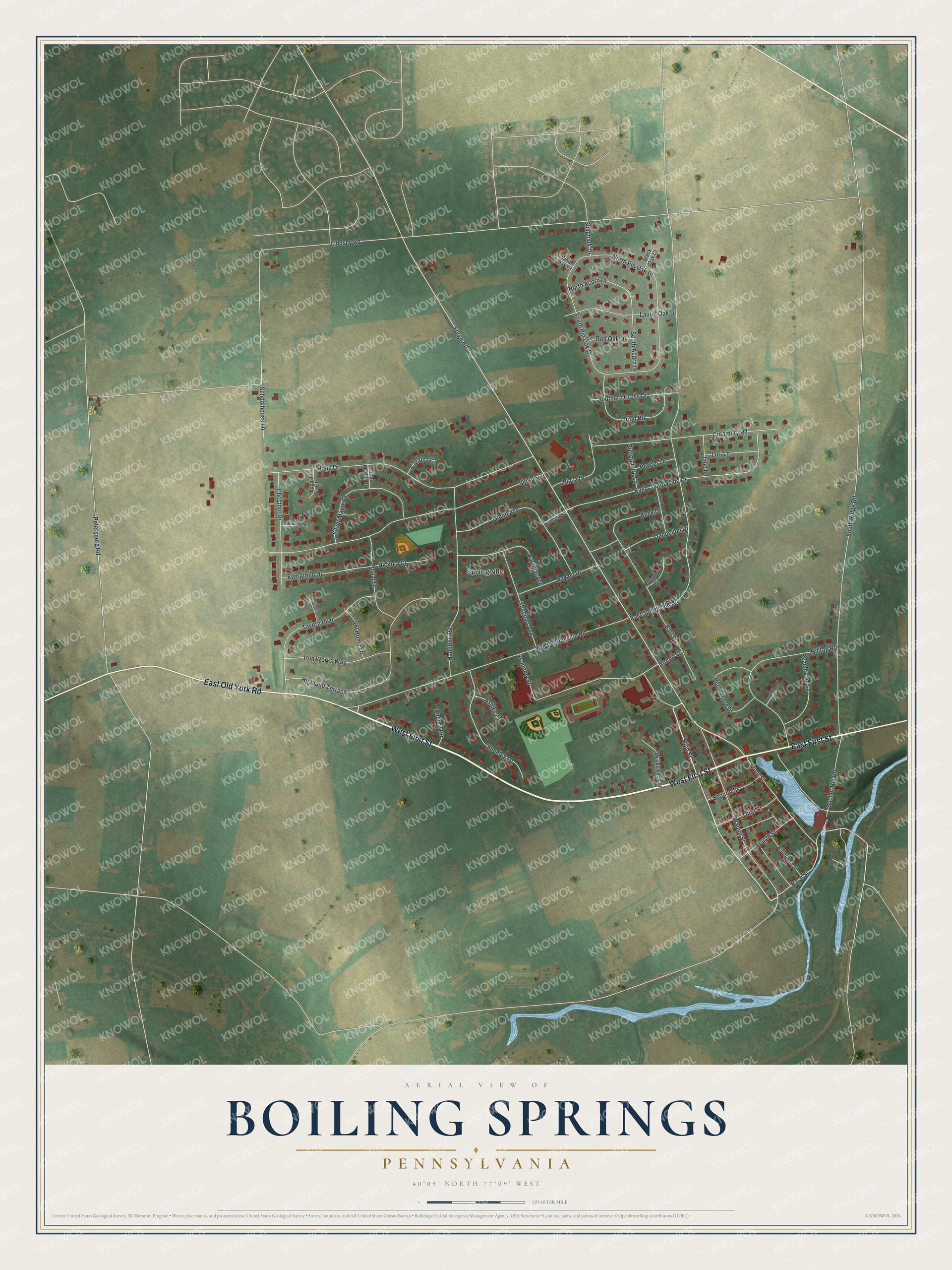
Boiling Springs, Pennsylvania Map Art
Building by building, with labeled streets and shaded relief.
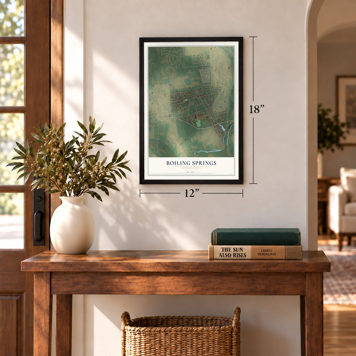
12" x 18" Archival Matte Print
A Map of Home. A Work of Art.
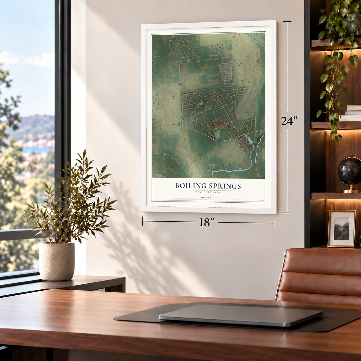
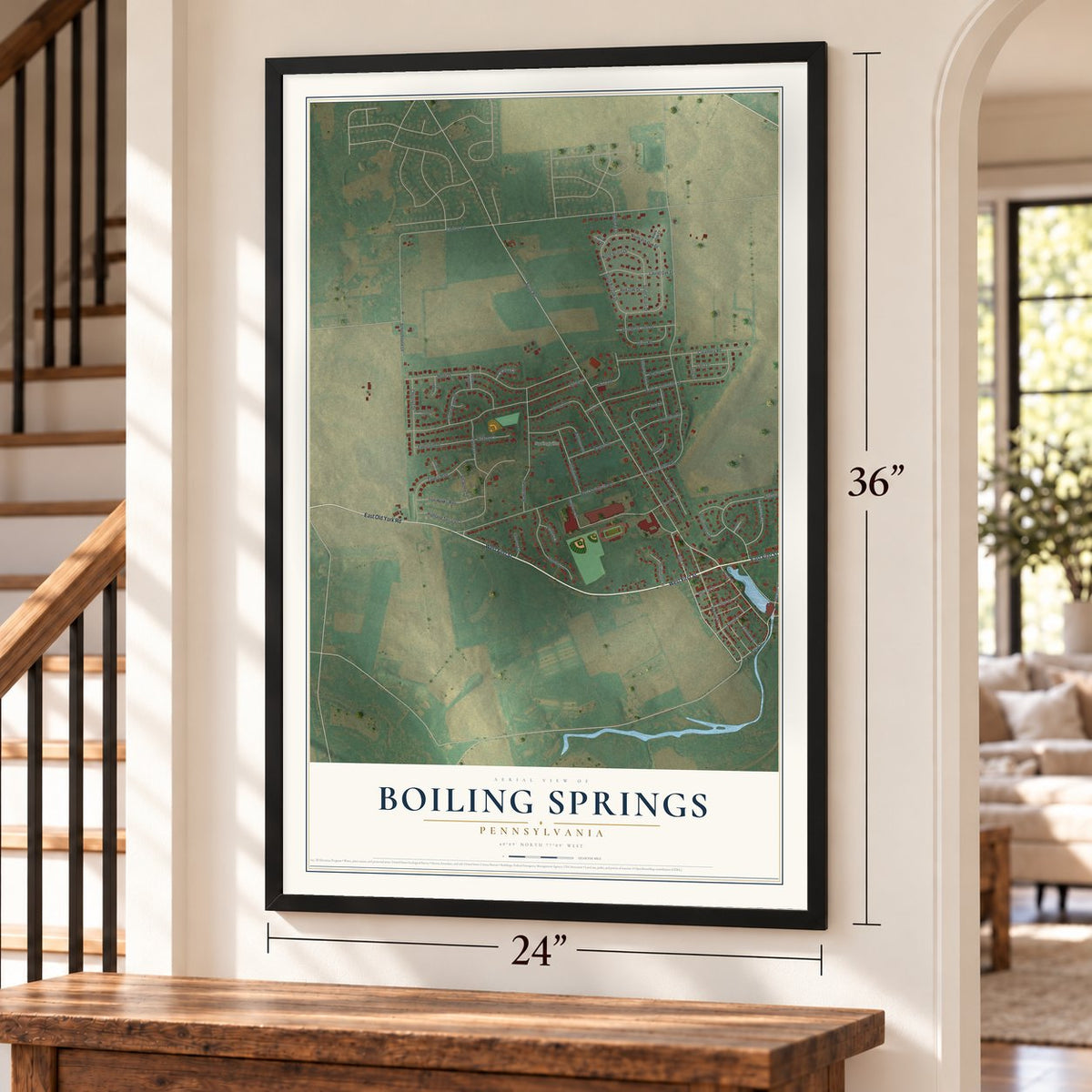
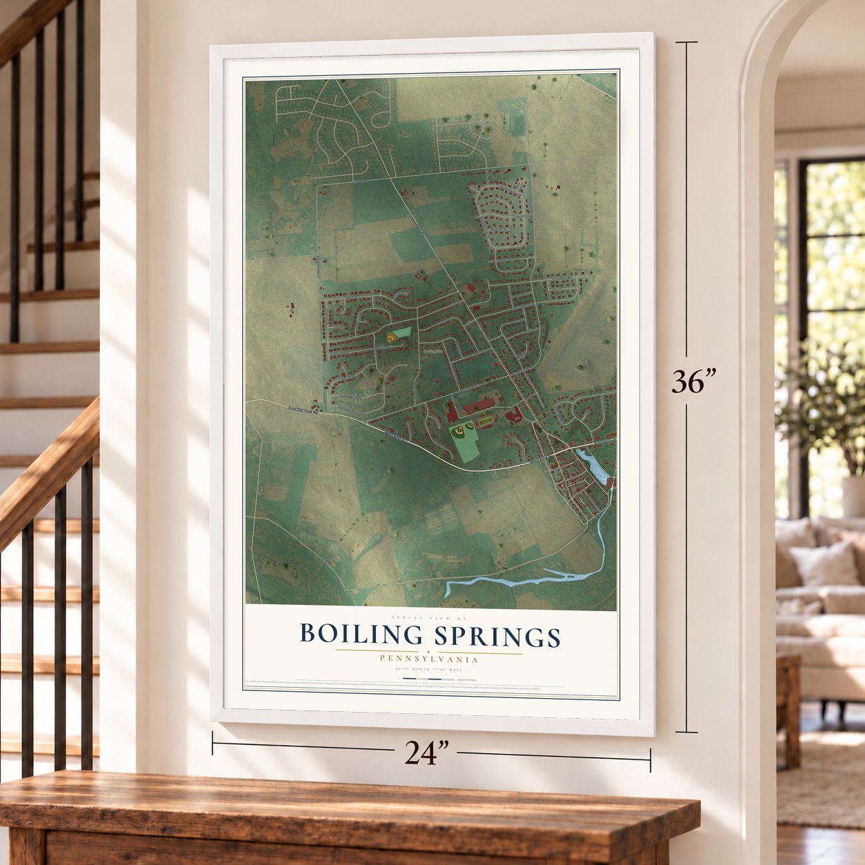
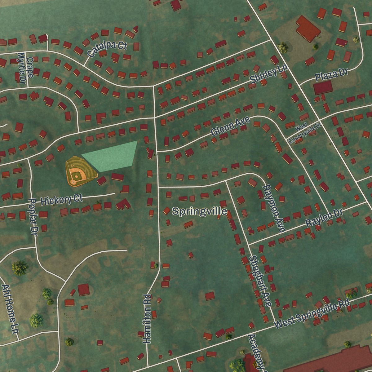
Explore Boiling Springs, Pennsylvania from a whole new perspective. Created using aerial imagery and detailed geographic data, this map captures Boiling Springs building by building, with labeled streets, familiar landmarks, and shaded topographical relief that highlights the natural contours of the landscape.
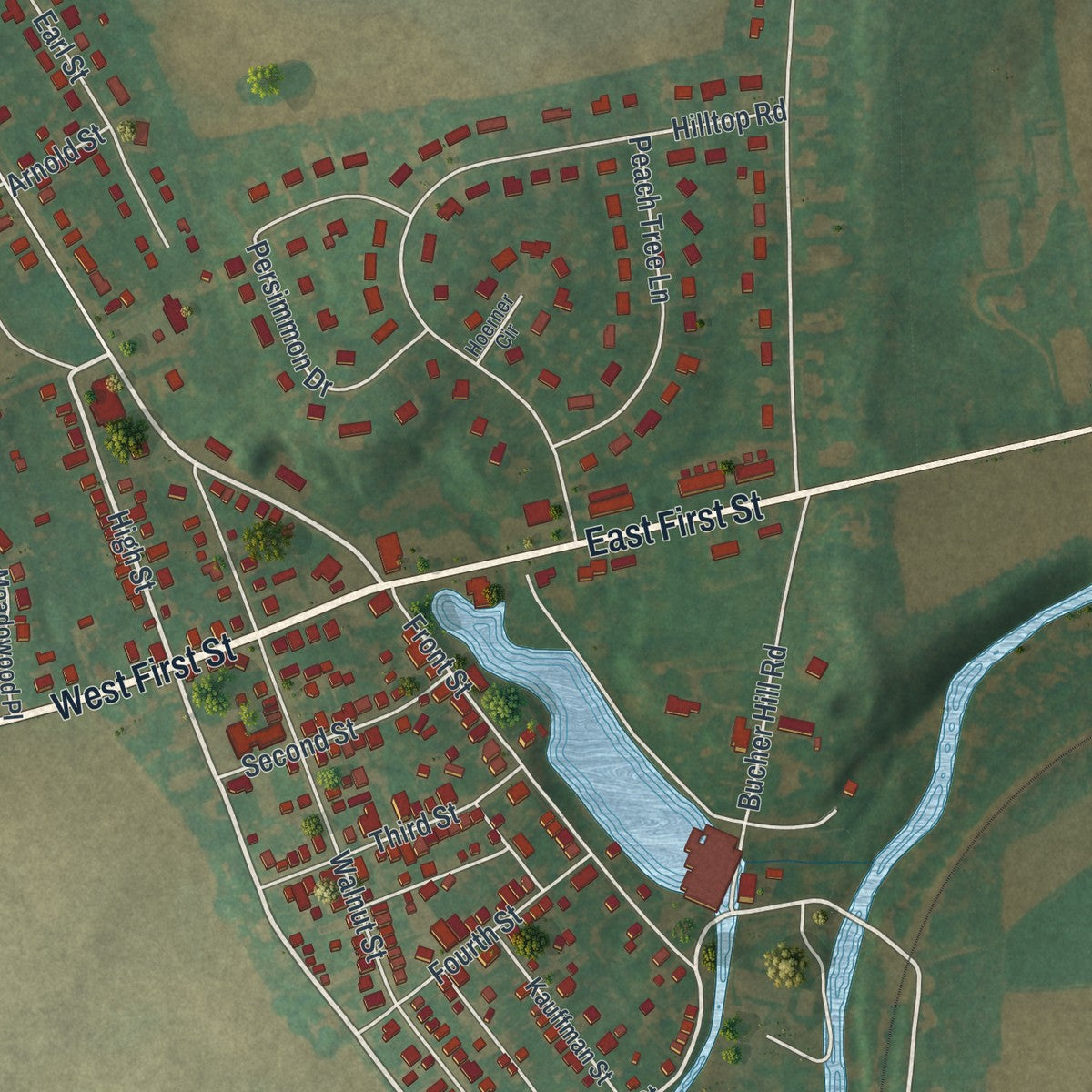
Combining modern data with the timeless character of a vintage atlas, this map is just as interesting up close as it is beautiful on the wall. Whether you grew up in Boiling Springs, spent memorable years there, or call it home today, this unique map is a great way to celebrate a place that means something to you. Zoom in on the preview to look for your street, and then order a print to put your memories on the wall.
Three ways to hang it
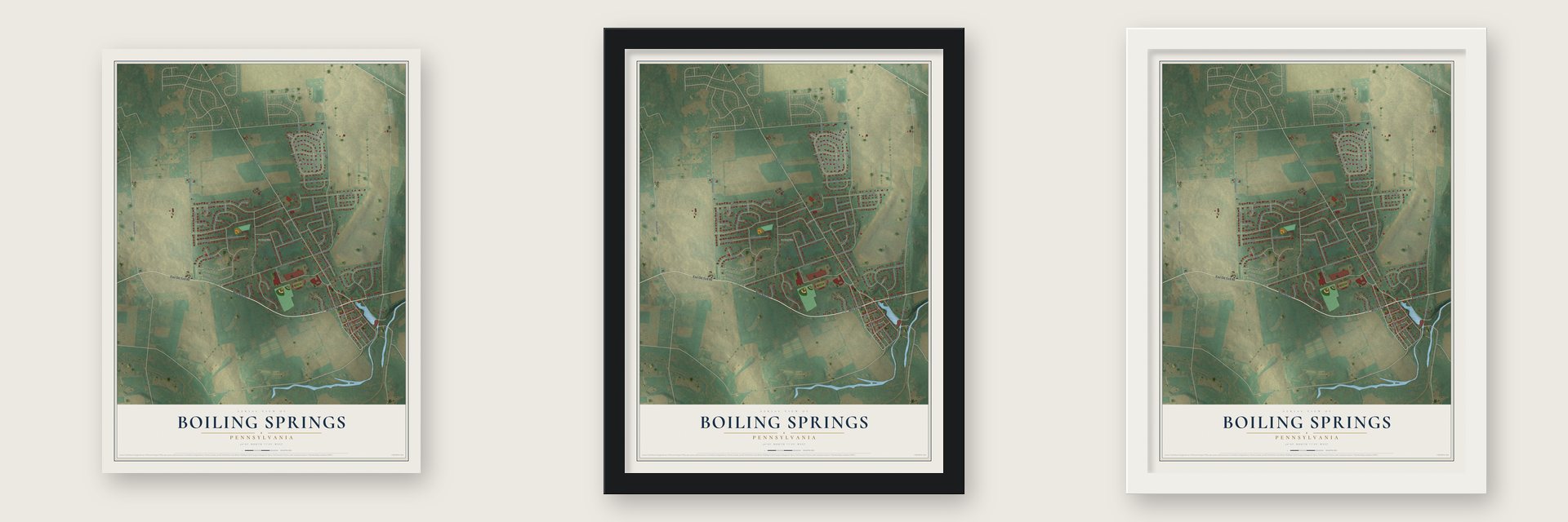
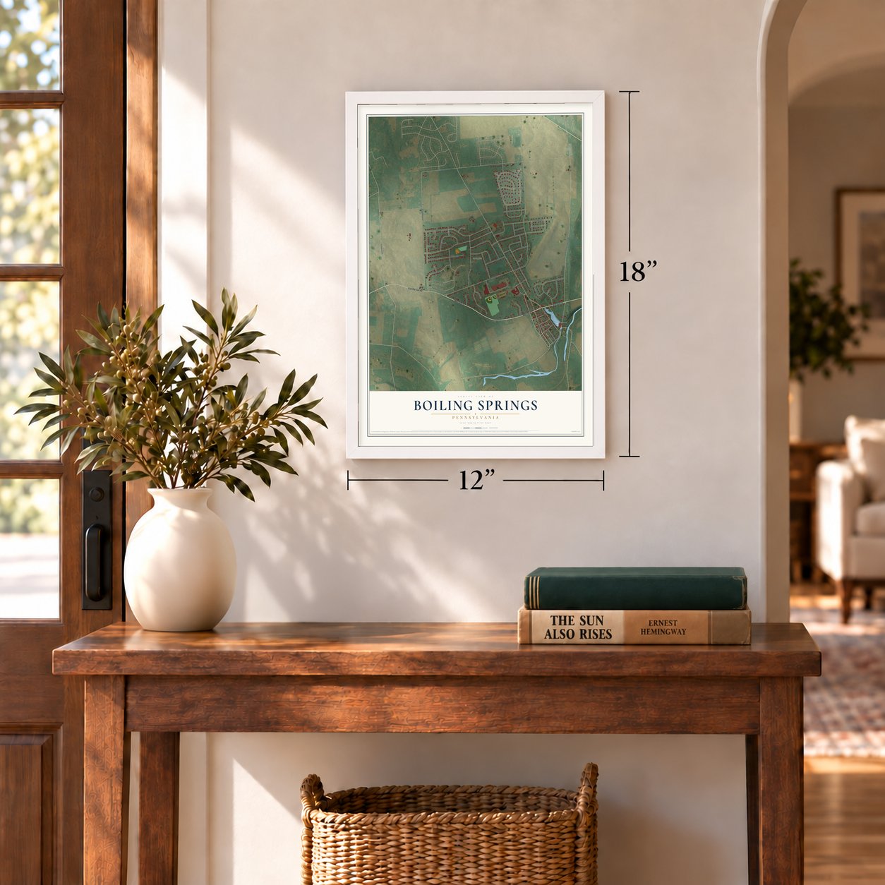
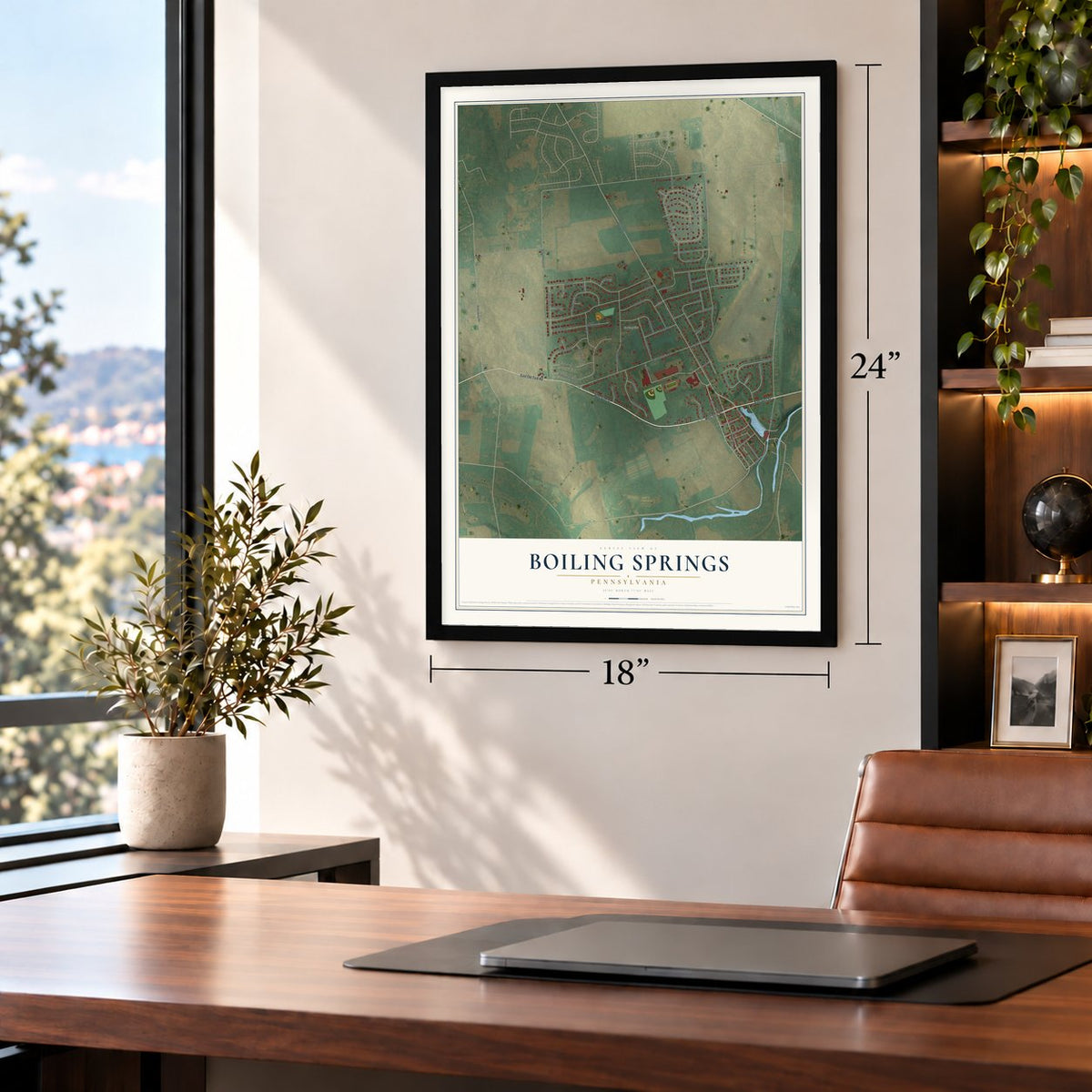
Unframed archival matte, a black wood frame or a white wood frame.
Up close
Geography Worth Displaying
This map was created using accurate cartographic data and authoritative geographic sources, including the U.S. Geological Survey and the Census Bureau. The map brings together terrain, waterways, roads, and building detail. The majority of the streets are labeled, houses are accurately depicted, and the topography is derived from government sources. Combining local data with carefully composed color and shading leads to this beautifully detailed Boiling Springs artwork for your wall.
Rather than simply showing street outlines, we’ve included as many of the street names as we could reasonably fit on the map while keeping their names legible. Zoom in on the high resolution preview to see exactly what’s on the map. We truly set out to create a statement piece for anyone who loves Boiling Springs. So whether it’s for you, or a gift for someone you love, we hope this map of Boiling Springs brings back fond memories.
Read the story behind this map of Boiling Springs, Pennsylvania from 2026.
Find your street
Names on the Boiling Springs map
Every name below is printed on this map. Look for your street, your school, the park where you played, or the pond down the road.
Places and landmarks1
- Springville
Streets and roads74
- West First Street
- East First Street
- East Old York Road
- Front Street
- High Street
- West Springville Road
- Race Street
- Lindsey Road
- Forge Road
- South Ridge Road
- East Springville Road
- Shirley Lane
- Hope Drive
- Petersburg Road
- East Countryside Drive
- Highland Terrace Court
- Hamilton Road
- Creamery Road
- Walnut Street
- Hilltop Road
- Academy Street
- North Pin Oak Drive
- South Pin Oak Drive
- Glenn Avenue
- Tavern Boulevard
- Enck Drive
- Sheeley Lane
- Silver Maple Drive
- Orion Road
- Laurel Oak Drive
Show all 74 streets
- Chestnut Drive
- Raymon Avenue
- Iron Works Way
- Persimmon Drive
- Shughart Avenue
- Dandelion Drive
- Bucher Hill Road
- Poplar Drive
- Evergreen Drive
- Southern Cross Drive
- North Acorn Drive
- Raylen Drive
- Peach Tree Lane
- Plaza Drive
- Earl Street
- Fourth Street
- Third Street
- Second Street
- South Acorn Drive
- Hickory Court
- Lori Lane
- Schoolhouse Lane
- Ahl Home Lane
- Red Oak Drive
- Butterchurn Lane
- Pewter Lane
- Jane Lane
- Auburn Circle
- Ashley Court
- Catalpa Court
- Shagbark Drive
- Arnold Street
- Meadowood Place
- Kauffman Street
- Burgundy Circle
- Crape Myrtle Drive
- Locust Court
- Black Oak Court
- White Oak Court
- Arbor Drive
- Buttonwood Court
- Hoerner Circle
- West Countryside Drive
- Allenberry Court
Names are listed as they appear on the printed map. Zoom into the product photos to find them.
About Boiling Springs, Pennsylvania
Boiling Springs is a community of 3,449 people in South Middleton Township, Cumberland County, beside Yellow Breeches Creek. Europeans had settled here before 1737, and in the 1750s they partly dammed the springs so the water could power iron making. The nearby mountains held plenty of iron ore, timber and limestone, so the business grew. John Rigbie and Company founded the Carlisle Iron Works about 1762, and the ironmaster Michael Ege ran it after 1781.
Daniel Kaufman bought 48 acres from his father, Abraham, in 1843, and two years later he laid out the village. From 1835 to 1847 he also worked for the Underground Railroad, which wanted a stop between Shippensburg and Harrisburg. He fed people escaping slavery, carried them onward and hid them in his barn and the thick woods nearby. A Maryland slave owner sued him in 1847. The state Supreme Court threw out his Cumberland County conviction, but a federal court in Philadelphia convicted him, and in 1852 he was fined $4,000.
- Springs that seem to boilThe town is named for its artesian springs. About 30 of them rise across roughly 2 acres and send out about 22 million gallons a day, at 55.5 to 55.8 degrees all year. The water isn't hot. Two buried walls of diabase rock form an underground V that traps groundwater and forces it up. The biggest spring, the Bubble, sits behind the Boiling Springs Tavern, and the high school teams are the Bubblers.
- The ironmaster's lakeThe 7-acre Children's Lake began as the iron works' dam. The works' iron probably became ammunition and weapons for the Continental Army, though no cannons were made here. Michael Ege added a grist mill on the lake to feed his workers, and his family lived in the 1795 Georgian ironmaster's mansion on the east shore. The original forge and furnace ruins survive, and a three-arched stone bridge has spanned the creek since 1854.
- A trolley park from 1900By 1875 picnickers rode a steam launch down the mill race to Island Grove. Trolley lines from Carlisle and Harrisburg reached town in 1895, and in 1900 the Valley Traction Company leased the lake and opened a park for riders, with a dance pavilion, a small steam train and a carousel. The trolleys ran until around 1930. In 1927 Gilbert Malcolm built the Boiling Springs Pool, the county's first public swimming place, which is still open.
- Pennsylvania's first trail townBoiling Springs is close to the midpoint of the Appalachian Trail, which runs 2,200 miles, and with South Middleton Township it became the state's first Appalachian Trail Community. The Appalachian Trail Conservancy's Mid-Atlantic office, at 4 East First Street, is the only one of its offices that sits right on the footpath. In busy seasons several hundred hikers come through each week, many picking up packages they mailed ahead to the post office.
Keep exploring Pennsylvania
Boiling Springs is one of 3,725 Pennsylvania towns we've mapped. Every dot on the map is a print of its own.
The search covers every state, Pennsylvania first.
Near Boiling Springs
Order 2 or more town maps and save 10%. Shown in the size and finish you picked above, so they hang as a set.
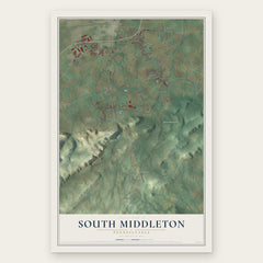
- South Middleton 12" x 18" / Archival Matte Print $39.99
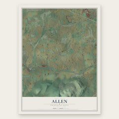
- Allen 12" x 18" / Archival Matte Print $39.99
- Monroe 12" x 18" / Archival Matte Print $39.99

More maps nearby: Carlisle Barracks, Mount Holly Springs, Carlisle, New Kingstown and Schlusser.
The art of mapping a place
How This Map Was Made
Real places. Remarkable detail. Discover the layers that turn geographic data into a map of home.

The view from above
Aerial imagery reveals the character of the land: woodland, open fields, and the patterns of a place.

The shape of the land
Elevation data brings hills, valleys, and subtle changes in the landscape into view.

The details of home
Roads, waterways, and building footprints come together to make the map feel unmistakably local.

Geography becomes art
Considered color, shading, and typography bring the layers together in a map made for your wall.


Process illustrated with Mendon, Massachusetts. Aerial imagery: USDA NAIP. Terrain: USGS 3D Elevation Program. Map details and finished artwork: KNOWOL.
The Details
About This Print
Choose an archival matte print, or a black or white Ayous wood frame. The archival matte print is unframed.
Select your size and finish above to see the matching product image and price.
Materials & Craftsmanship
A contemporary map with the character of a classic atlas, printed on archival matte paper. Optional frames are made from Ayous wood.
Your printed map does not include the watermark shown in the full-map preview.
Shipping & Delivery
Free shipping within the United States. Every print is made to order in the USA.
Buying a gift? Add a note in your cart and we'll include it. We never put prices in the package.
Prints ship within 2 to 3 business days. Allow 7 to 10 days total from ordering for delivery. Timing may vary during holidays or periods of high order volume.
Read our shipping policy.
Returns and damaged prints
Each print is made to order. Change-of-mind refunds are not available after production.
If your print arrives damaged, misprinted or incorrect, contact support@knowol.com within 30 days of receiving it. Include your order number, photos and a description of the issue.
Read our full refund and replacement policy. For questions about your order, email support@knowol.com.