
Search for another town

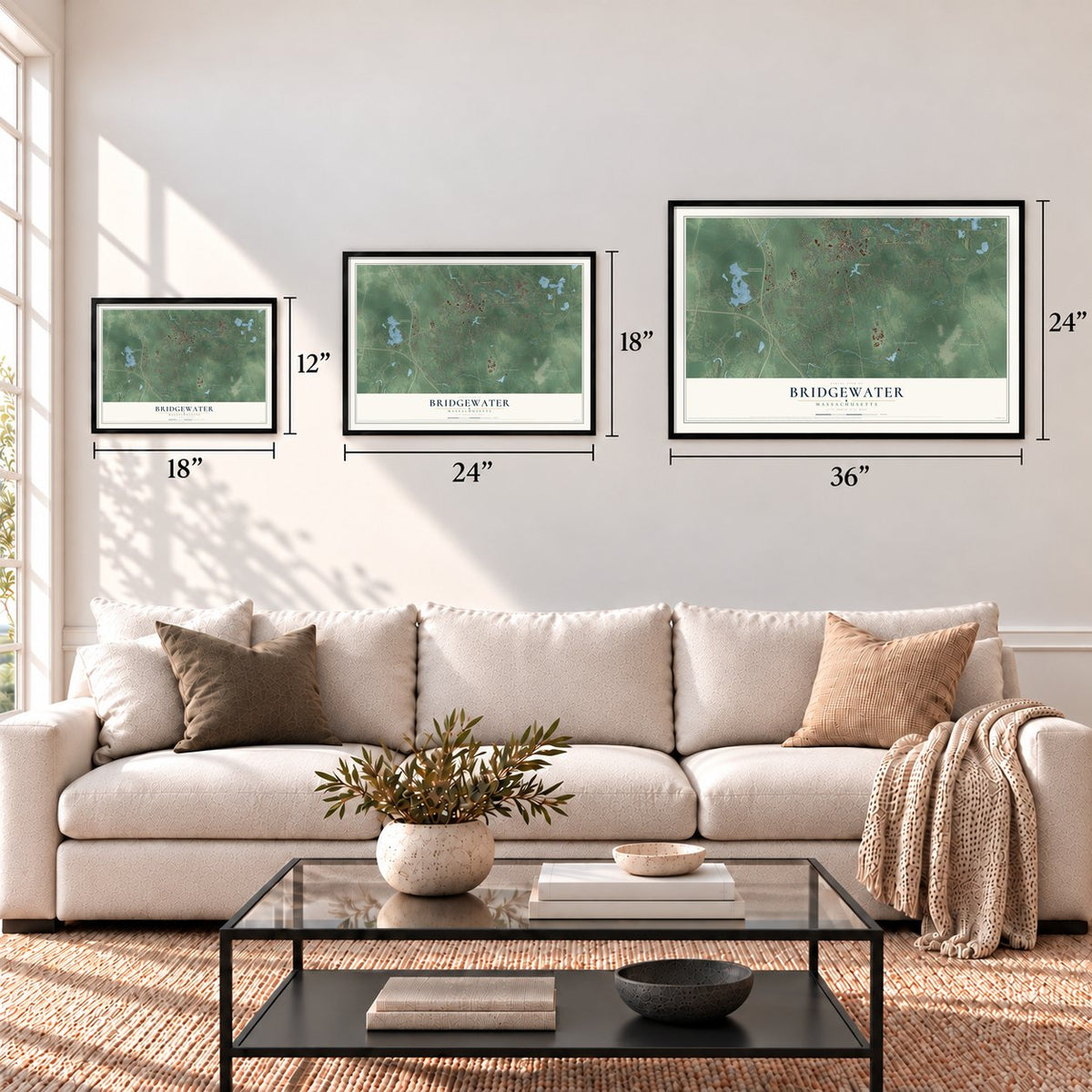

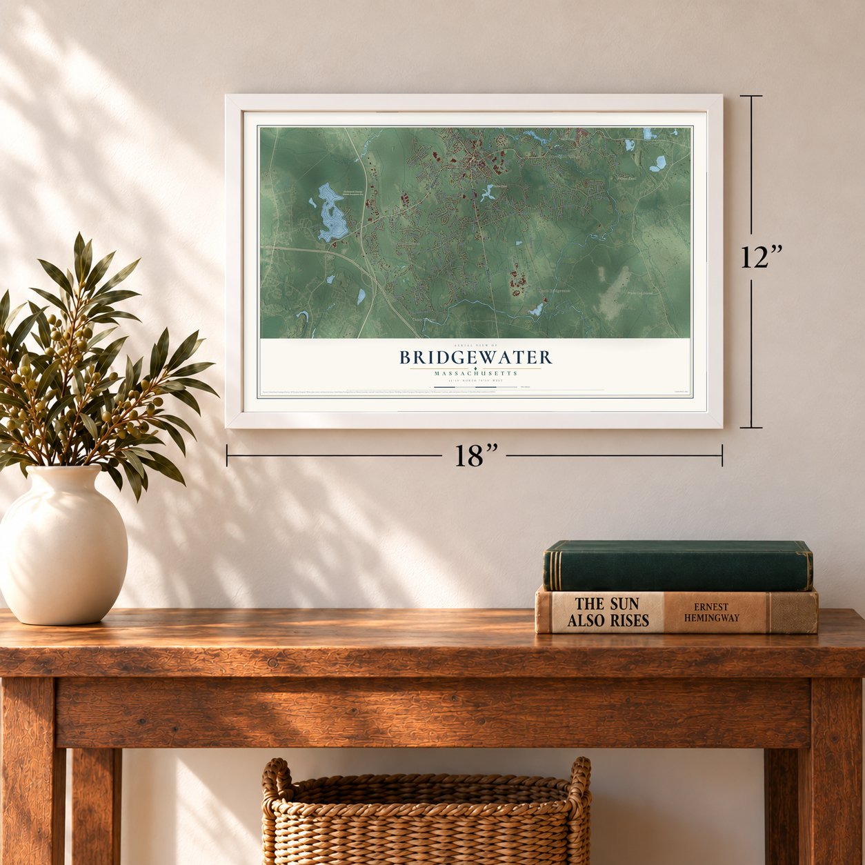
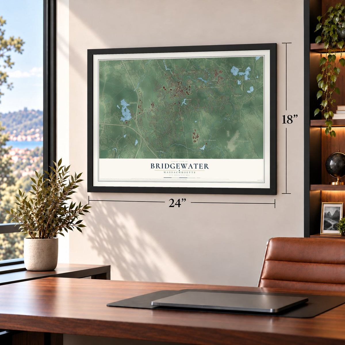
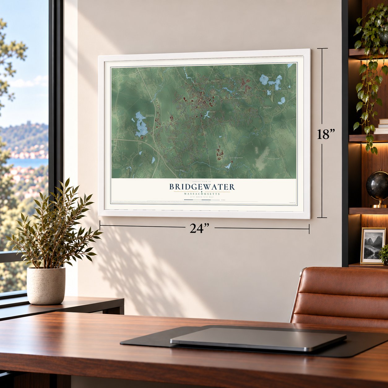


Free U.S. delivery 7 to 10 days after you order
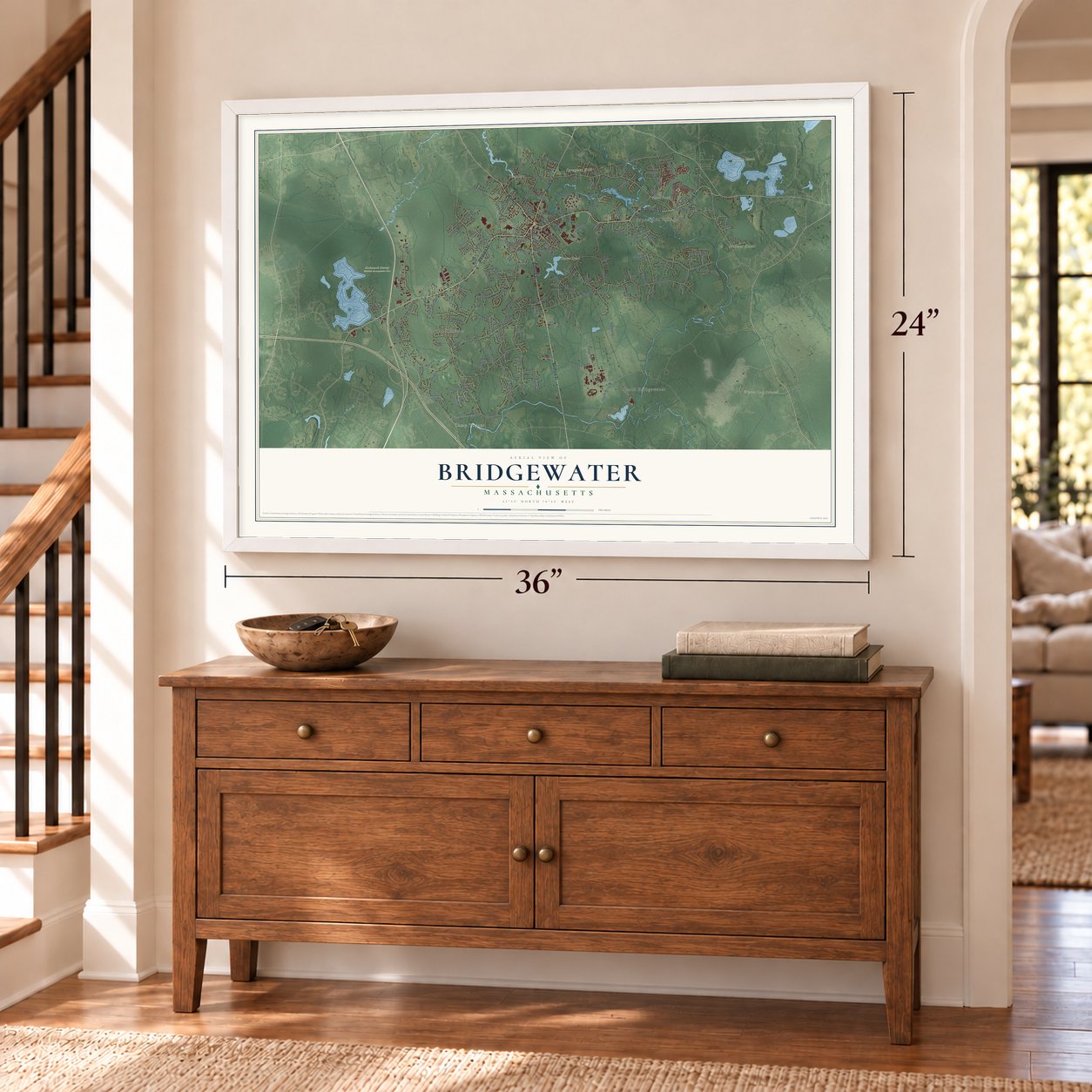
Bridgewater, Massachusetts Map Art
Building by building, with labeled streets and shaded relief.
12" x 18" Archival Matte Print
A Map of Home. A Work of Art.
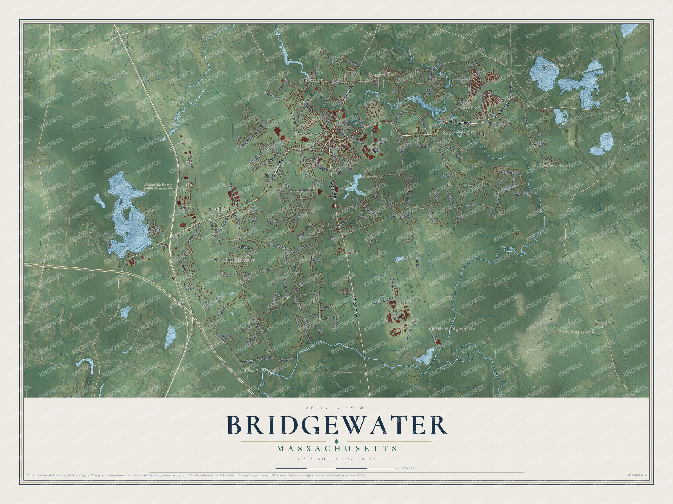
Explore Bridgewater, Massachusetts from a whole new perspective. Created using aerial imagery and detailed geographic data, this map captures Bridgewater building by building, with labeled streets, familiar landmarks, and shaded topographical relief that highlights the natural contours of the landscape.
Combining modern data with the timeless character of a vintage atlas, this map is just as interesting up close as it is beautiful on the wall. Whether you grew up in Bridgewater, spent memorable years there, or call it home today, this unique map is a great way to celebrate a place that means something to you. Zoom in on the preview to look for your street, and then order a print to put your memories on the wall.
Three ways to hang it
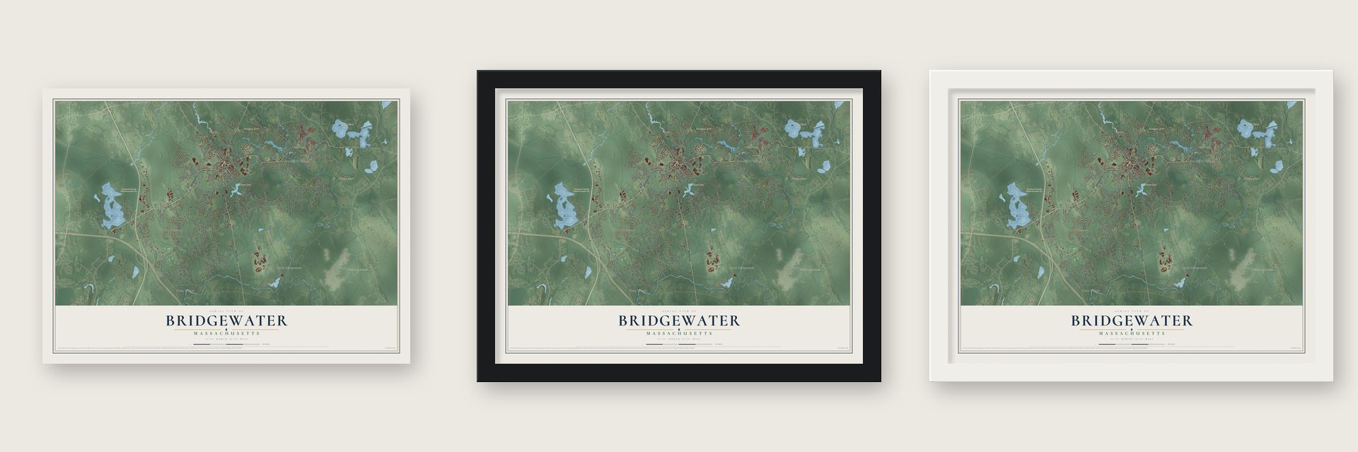
Unframed archival matte, a black wood frame or a white wood frame.
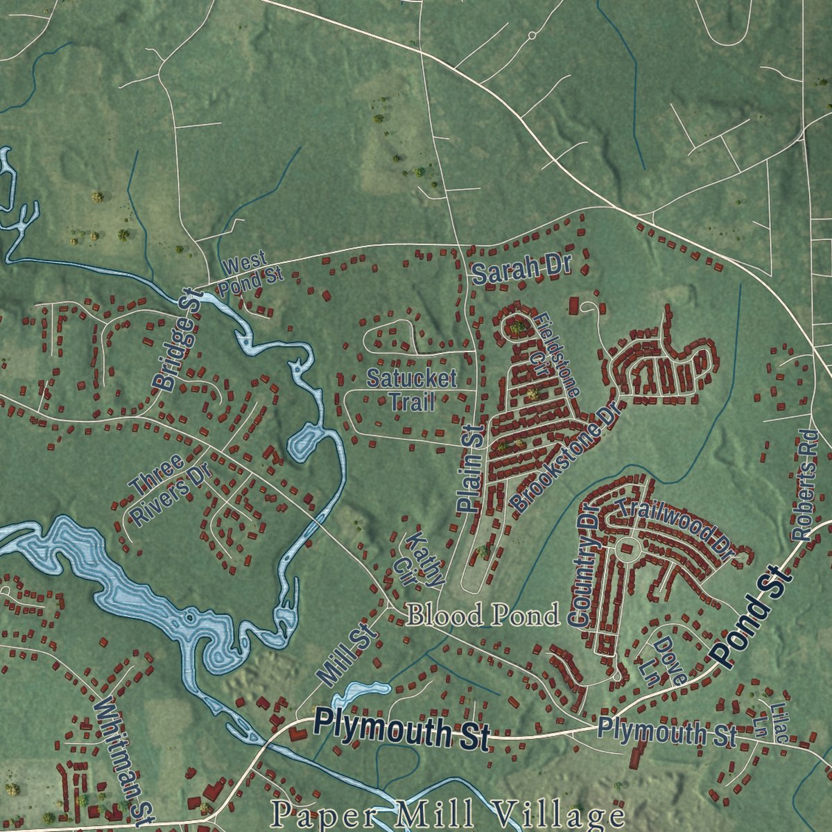
Up close
Geography Worth Displaying
This map was created using accurate cartographic data and authoritative geographic sources, including the U.S. Geological Survey (USGS) and FEMA. The map brings together terrain, waterways, roads, and building detail. The majority of the streets are labeled, houses are accurately depicted, and the topography is derived from government sources. Combining local data with carefully composed color and shading leads to this beautifully detailed Bridgewater artwork for your wall.
Rather than simply showing street outlines, we’ve included as many of the street names as we could reasonably fit on the map while keeping their names legible. Zoom in on the high resolution preview to see exactly what’s on the map. We truly set out to create a statement piece for anyone who loves Bridgewater. So whether it’s for you, or a gift for someone you love, we hope this map of Bridgewater brings back fond memories.
Explore the full map of Bridgewater, Massachusetts and read about the local places it shows.

Find your street
Names on the Bridgewater map
Every name below is printed on this map. Look for your street, your school, the park where you played, or the pond down the road.
Places and landmarks16
- Downtown
- Camp Titicut
- South Bridgewater
- Holmes Knoll
- Osceola Island
- Spragues Hill
- White Oak Island
- Blood Pond
- Carver Pond
- Hockomock Swamp Wildlife Management Area
- Scotland Estates
- Scotland
Show all 16 places
- Stanley
- Paper Mill Village
- Grange Park
- Norlen Park
Streets and roads179
- Pleasant Street
- Plymouth Street
- Pond Street
- Broad Street
- Main Street
- Bedford Street
- High Street
- East Street
- Flagg Street
- Elm Street
- Old Pleasant Street
- South Street
- Summer Street
- Vernon Street
- Conant Street
- Auburn Street
- Pine Street
- North Street
- Titicut Street
- Forest Street
- Walnut Street
- Cherry Street
- Cross Street
- Oak Street
- Laurel Street
- Hayward Street
- Center Street
- Spruce Street
- Lakeside Drive
- Winter Street
Show all 179 streets
- Plain Street
- Boxwood Lane
- Water Street
- Curve Street
- Country Drive
- Harvest Lane
- State Farm Road
- Scotland Boulevard
- Whitman Street
- Sharon Court
- Beach Street
- Beech Street
- Comfort Street
- Legge Street
- Lyman Place
- Aldrich Road
- South Drive
- Deerfield Drive
- Park Avenue
- Burrill Avenue
- Bayberry Circle
- Bridge Street
- Wall Street
- Brookside Drive
- Greenbrier Lane
- First Street
- Bradley Lane
- Crescent Street
- Oak Ridge Lane
- Appletree Circle
- Spring Street
- Brownfield Drive
- Laurie Lane
- Birch Street
- Magnolia Way
- Amherst Avenue
- College Road
- Mill Street
- Green Street
- Prospect Street
- Short Street
- Cottage Street
- Hale Street
- Grove Street
- Forest Drive
- Keith Place
- Dean Street
- Pearl Street
- Sarah Drive
- Fiske Drive
- Great Hill Drive
- Satucket Trail
- Trailwood Drive
- Conant Circle
- Brookstone Drive
- Cook Street
- Hayward Place
- Romney Road
- Union Street
- Colonial Post Drive
- Old Farm Road
- Fox Run
- Mary Lane
- Fairway Drive
- Colonial Drive
- Tabway Lane
- Bridle Road
- Maple Avenue
- Holly Lane
- Carriage House Drive
- Three Rivers Drive
- Stephanie Lane
- Maura Drive
- Circle Drive
- Tinsley Drive
- Roberts Road
- Sunrise Drive
- Crapo Street
- Heather Hills Drive
- Erbeck Circle
- Yoke Road
- Swift Avenue
- Morris Avenue
- Aspen Drive
- Austin Street
- Gloria Drive
- Charles Street
- Nelson Drive
- Hunters Drive
- Lantern Lane
- Fruit Street
- Red Mill Road
- Kathy Circle
- Mae Avenue
- Laurel Drive
- Vinny Circle
- Beebe Road
- Vera Drive
- Eagle Trce
- Oliver Place
- Terry Lane
- Ivy Circle
- Dove Lane
- Meadow Lane
- Atkinson Drive
- Cobblestone Lane
- Redwing Drive
- Beninati Farm Road
- Fieldstone Circle
- Stoneybrook Drive
- Lady Slipper Road
- Woodland Drive
- Birch Hill Road
- Sherwood Lane
- School Street
- Wildwood Place
- Dickens Street
- Turner Drive
- West Pond Street
- Country Club Lane
- Hester Drive
- Arthurs Place
- Harriet Drive
- Clover Drive
- Tarkin Hill Lane
- Edge Hill Drive
- Lilac Lane
- Grange Court
- Longview Drive
- Paul Joseph Lane
- Tommi Ann Terrace
- Wellfield Drive
- Village Gate Drive
- Fremont Street
- Hartswood Way
- Cathrop Drive
- Rolling Pines Drive
- Willow Ridge Drive
- Black Mallard Road
- Alden Square
- Starr Road
- Alexander Drive
- Hammond Street
- Crescent Drive
- Indian Ridge
- Sea Tower Drive
- Bourne Street
- Walter Drive
- Colby Road
Names are listed as they appear on the printed map. Zoom into the product photos to find them.
About Bridgewater, Massachusetts
Bridgewater is a Plymouth County town of 28,633 people, roughly 25 miles south of Boston. In 1645, 54 proprietors bought the land from the Native people as part of Duxbury, though most of them never settled on it. On June 3, 1656, Plymouth Colony made Bridgewater a township, and it became part of Plymouth County once the colony created counties in 1685.
The early township was far larger than the town of today. Its southern part, roughly the present town, became a parish of its own on June 1, 1716, and dedicated its first meeting-house the next June on land given by John Washburn. North Bridgewater split off in 1821 and grew into the city of Brockton, and the town's present bounds were fixed in 1846.
“What the old town lacks in enterprise and push is made up in the character and stability of its people.”
- Iron on the Town RiverDavid Perkins gained rights to dam the Town River in 1694; the Lazell brothers built a slitting mill there in 1785. After the 1846 railroad, the works became one of the nation's largest and made wrought iron for the Monitor. One Civil War cannon, so big it was displayed at the county fair, went on to Fort Sumter. The Stanley Works took over in 1899, naming the Stanley neighborhood, and the site became Iron Works Park in 1994.
- The normal school of 1840Horace Mann founded the state's normal school, which first opened its doors on September 9, 1840, in the town house; the town had spent $250 fitting it up. Its 28 first students, 21 women and seven men, learned from one teacher, the principal Nicholas Tillinghast, a West Point graduate. In 1846 the school moved into the first building put up in America to train teachers. It became Bridgewater State University in 2010.
- An academy from 1799By 1800 twenty-three young men from the South Parish had gone on to Harvard. Maj. Isaac Lazell helped found the county academy in the town center in 1799, and the land for it and for the public square came from him and his heirs. Fire destroyed the academy in 1821, and it was rebuilt the following year.
- Gins, paper and bricksIn 1817 E. Carver started a factory making cotton gins where Carver's Pond drains out, and in 1833 Bates, Hyde and Company began making gins as well, which became the Eagle Cotton-Gin Company. Joseph Hooper made paper at Pratt Town in 1823, in what the 1884 county history called the first paper mill in the county. Mitchell Hooper began making bricks from Town River clay in 1829 and once turned out four million in a year.
- The McElwain School, 1912William H. McElwain's shoe company was one of Bridgewater's major employers, and his family gave the land for a new school on Main Street. Loring & Phipps designed the two-story brick Classical Revival building, which was built in 1912 and served as a public school until 1997. It joined the National Register in 2013.
Keep exploring Massachusetts
Bridgewater is one of 461 Massachusetts towns we've mapped. Every dot on the map is a print of its own.
The search covers every state, Massachusetts first.
Near Bridgewater
Order 2 or more town maps and save 10%. Shown in the size and finish you picked above, so they hang as a set.
- West Bridgewater 12" x 18" / Archival Matte Print $39.99
- Raynham 12" x 18" / Archival Matte Print $39.99
- East Bridgewater 12" x 18" / Archival Matte Print $39.99

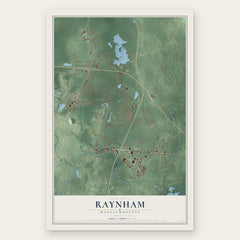
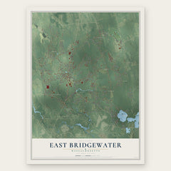
More maps nearby: Halifax, Taunton, Whitman, Hanson and Brockton.
The art of mapping a place
How This Map Was Made
Real places. Remarkable detail. Discover the layers that turn geographic data into a map of home.

The view from above
Aerial imagery reveals the character of the land: woodland, open fields, and the patterns of a place.

The shape of the land
Elevation data brings hills, valleys, and subtle changes in the landscape into view.

The details of home
Roads, waterways, and building footprints come together to make the map feel unmistakably local.

Geography becomes art
Considered color, shading, and typography bring the layers together in a map made for your wall.


Process illustrated with Mendon, Massachusetts. Aerial imagery: USDA NAIP. Terrain: USGS 3D Elevation Program. Map details and finished artwork: KNOWOL.
The Details
About This Print
Choose an archival matte print, or a black or white Ayous wood frame. The archival matte print is unframed.
Select your size and finish above to see the matching product image and price.
Materials & Craftsmanship
A contemporary map with the character of a classic atlas, printed on archival matte paper. Optional frames are made from Ayous wood.
Your printed map does not include the watermark shown in the full-map preview.
Shipping & Delivery
Free shipping within the United States. Every print is made to order in the USA.
Buying a gift? Add a note in your cart and we'll include it. We never put prices in the package.
Prints ship within 2 to 3 business days. Allow 7 to 10 days total from ordering for delivery. Timing may vary during holidays or periods of high order volume.
Read our shipping policy.
Returns and damaged prints
Each print is made to order. Change-of-mind refunds are not available after production.
If your print arrives damaged, misprinted or incorrect, contact support@knowol.com within 30 days of receiving it. Include your order number, photos and a description of the issue.
Read our full refund and replacement policy. For questions about your order, email support@knowol.com.