
Search for another town
Free U.S. delivery 7 to 10 days after you order
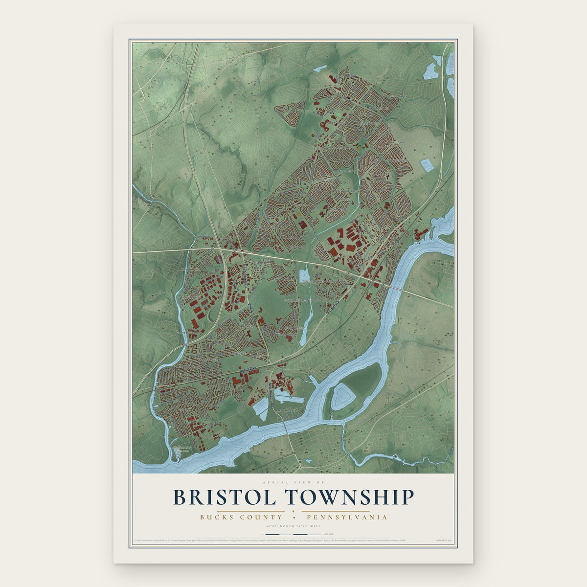
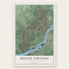
Bristol Township, Bucks County, Pennsylvania Map Art
Building by building, with labeled streets and shaded relief.
12" x 18" Archival Matte Print
A Map of Home. A Work of Art.
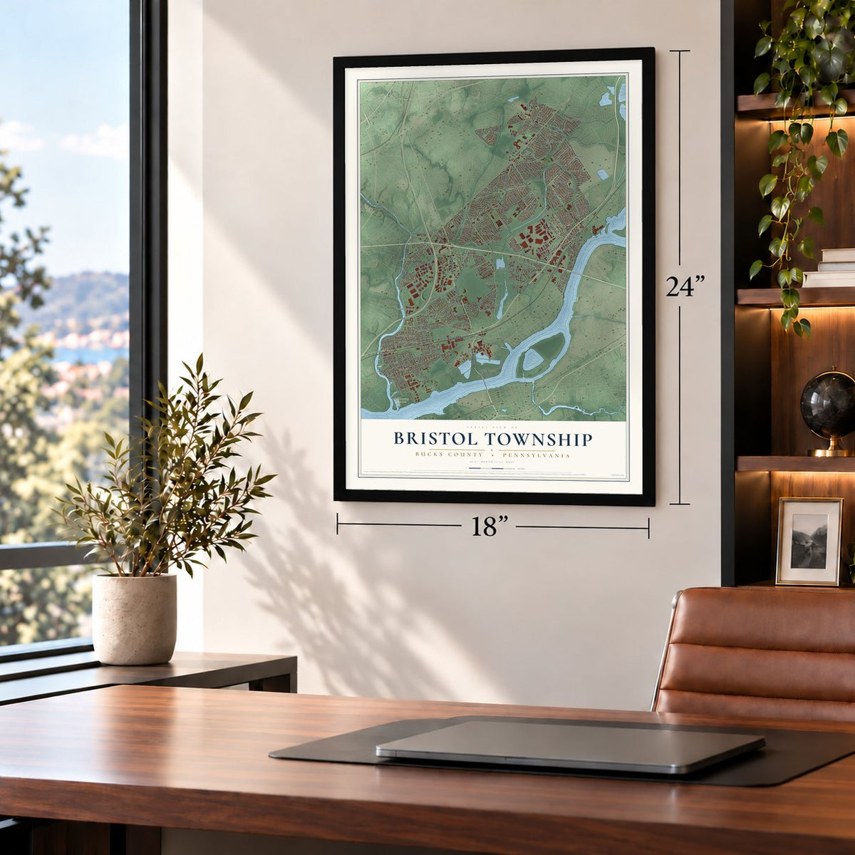
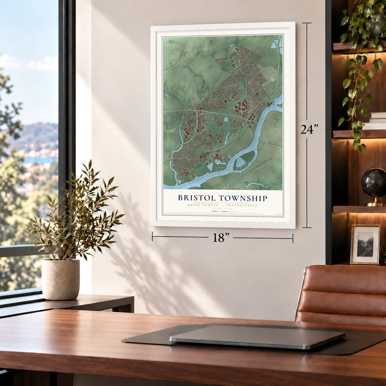
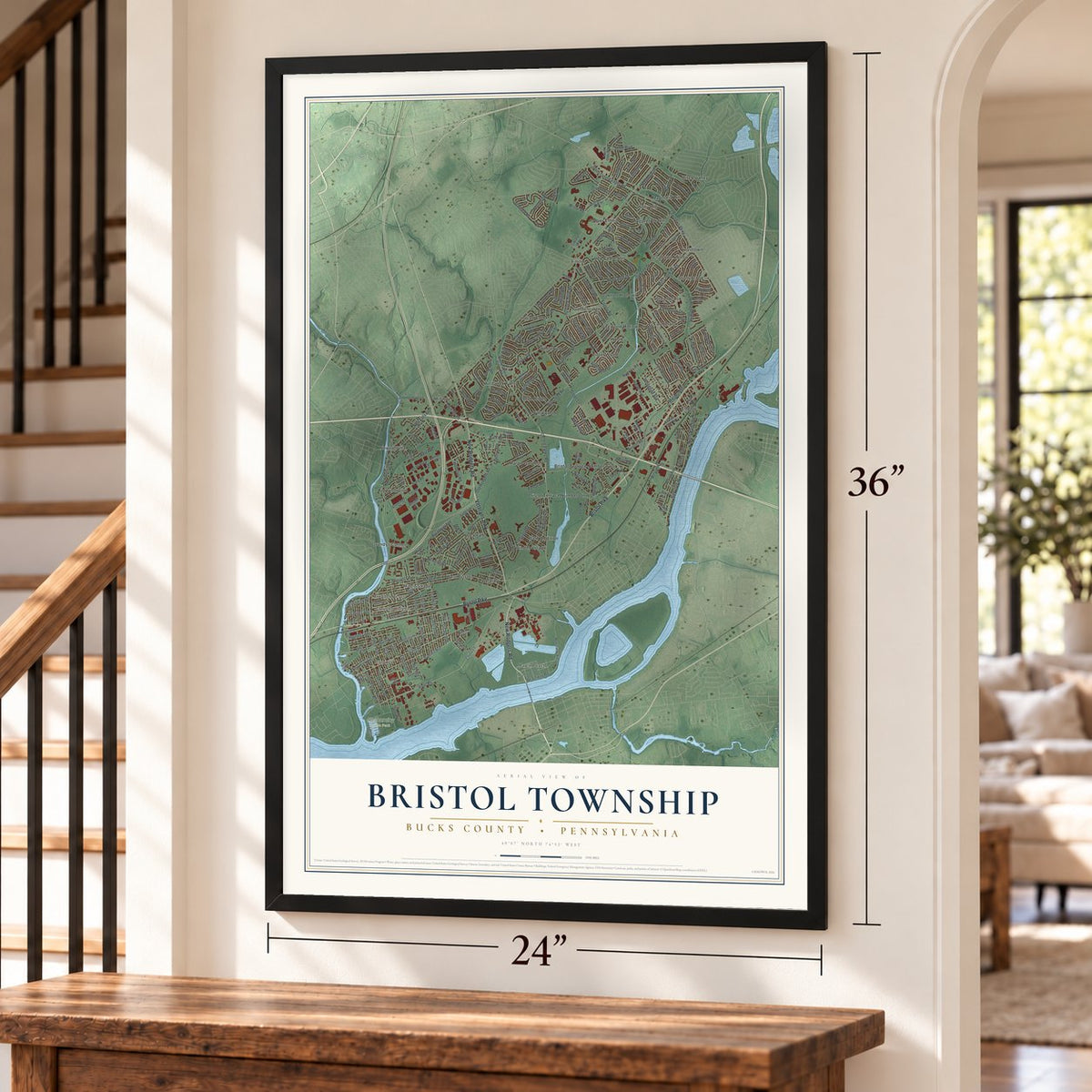
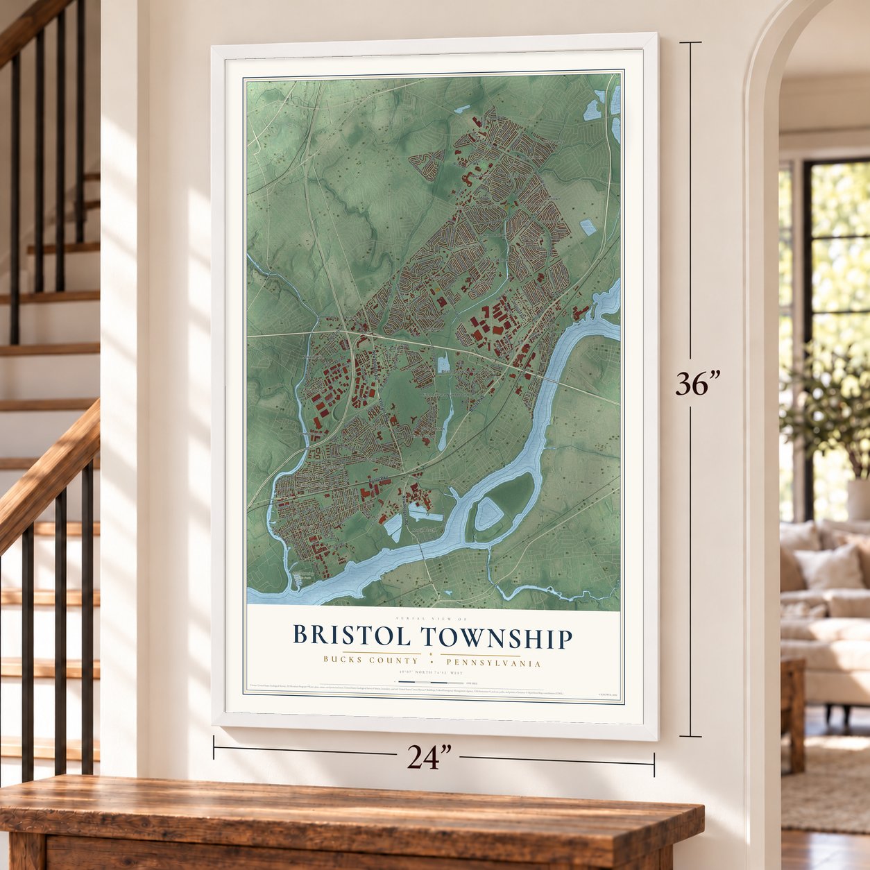
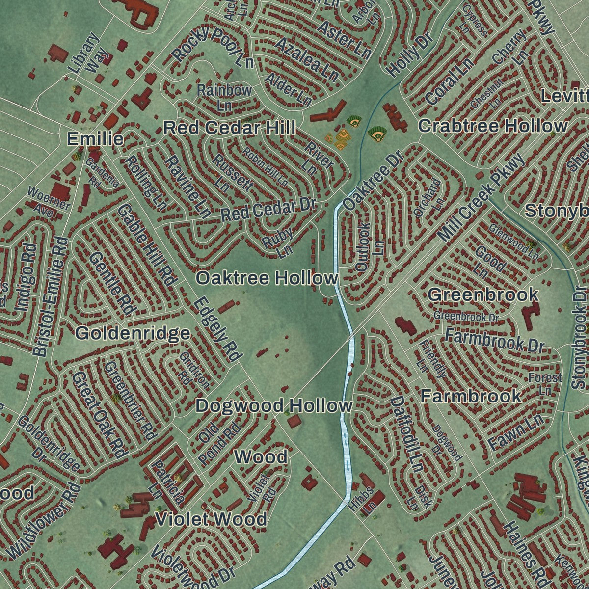
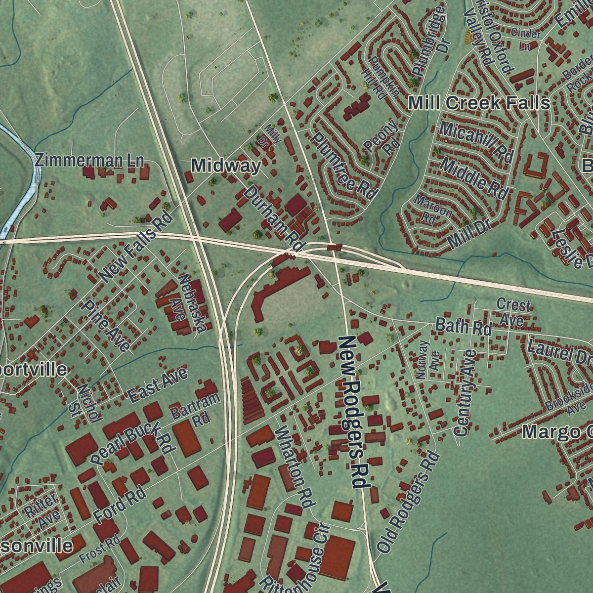
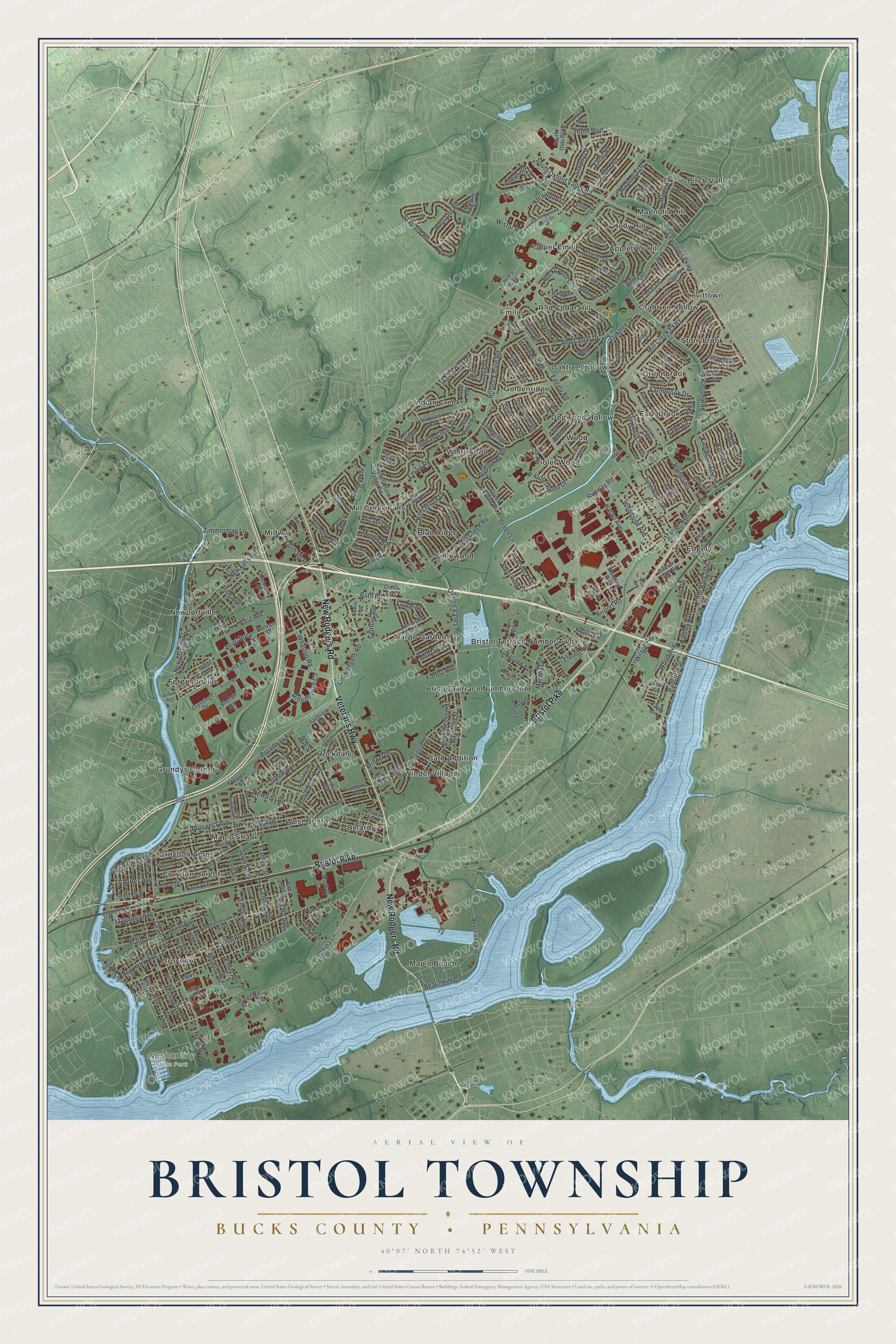
Explore Bristol Township, Pennsylvania from a whole new perspective. Created using aerial imagery and detailed geographic data, this map captures Bristol Township building by building, with labeled streets, familiar landmarks, and shaded topographical relief that highlights the natural contours of the landscape.
Combining modern data with the timeless character of a vintage atlas, this map is just as interesting up close as it is beautiful on the wall. Whether you grew up in Bristol Township, spent memorable years there, or call it home today, this unique map is a great way to celebrate a place that means something to you. Zoom in on the preview to look for your street, and then order a print to put your memories on the wall.
Three ways to hang it
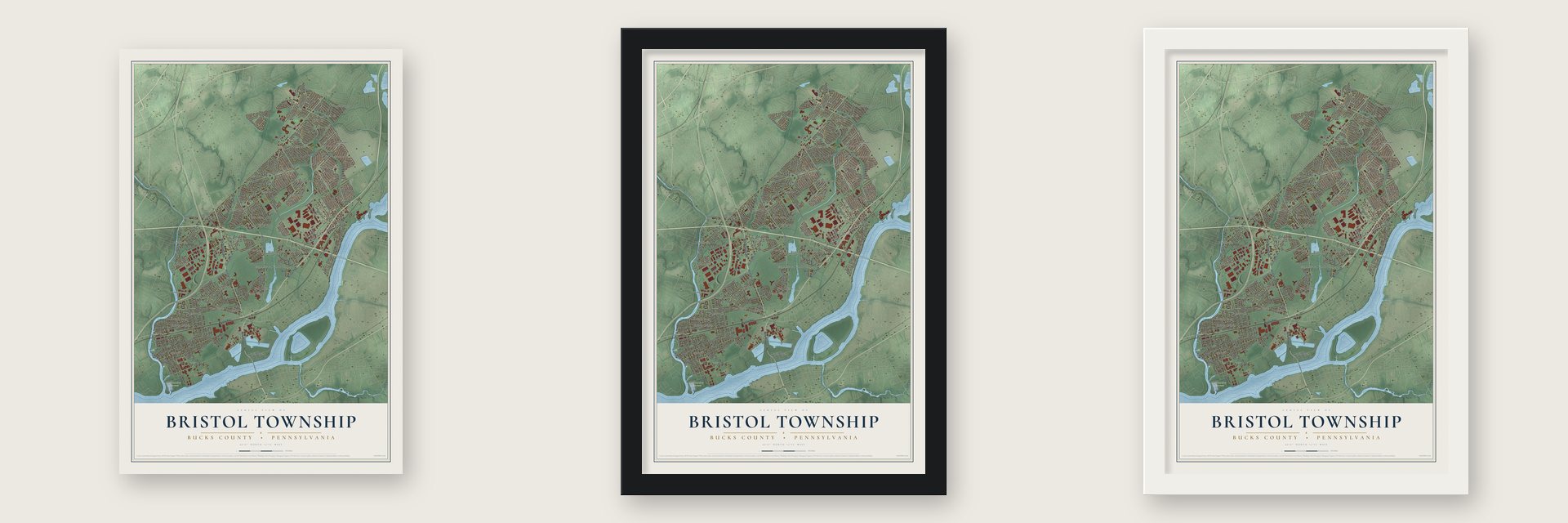
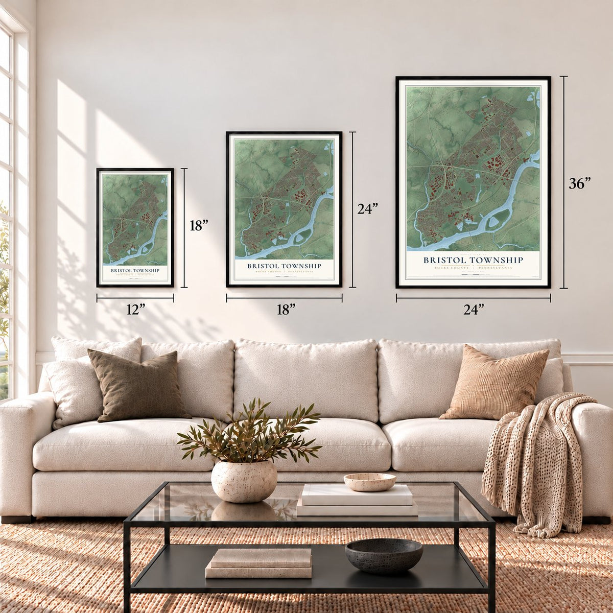
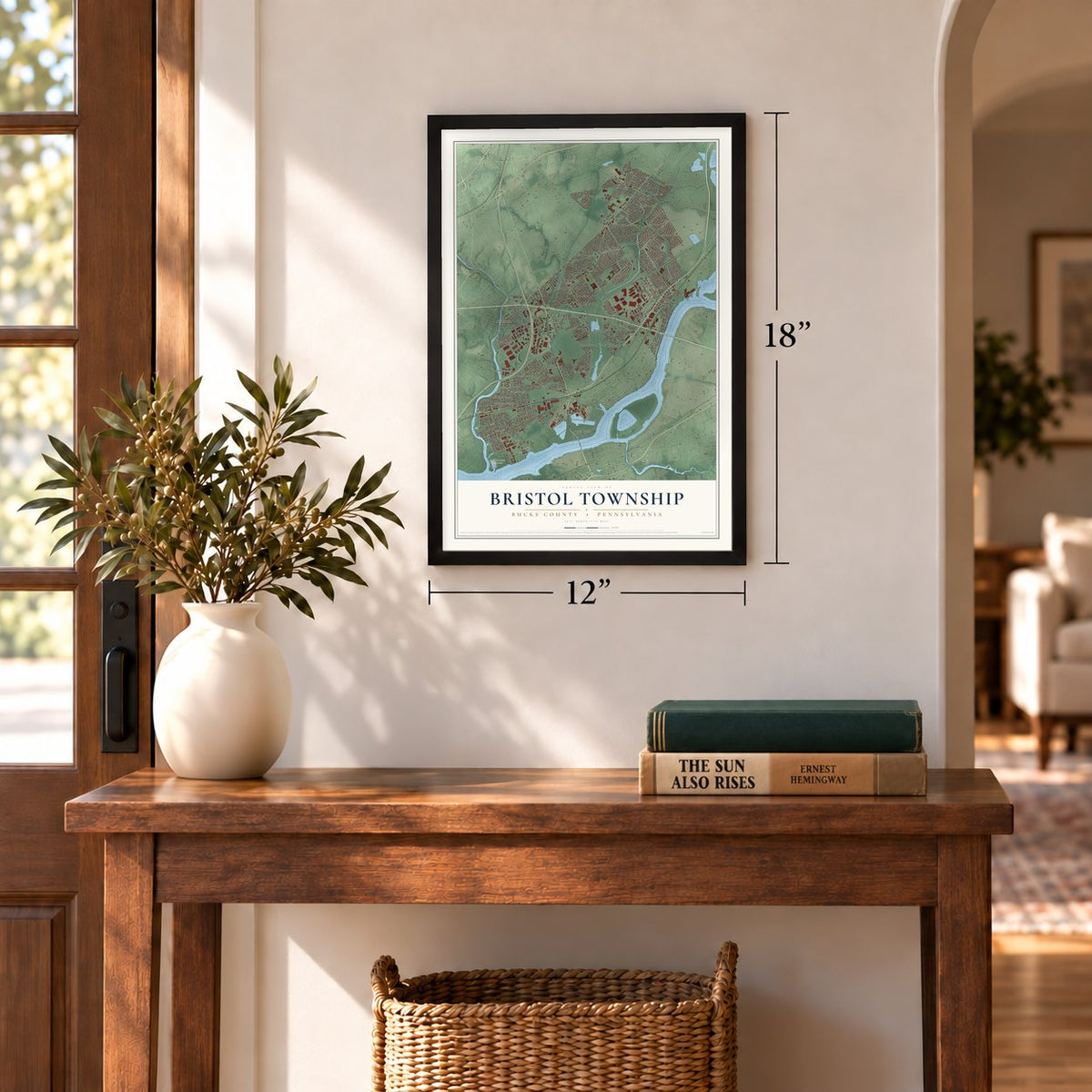
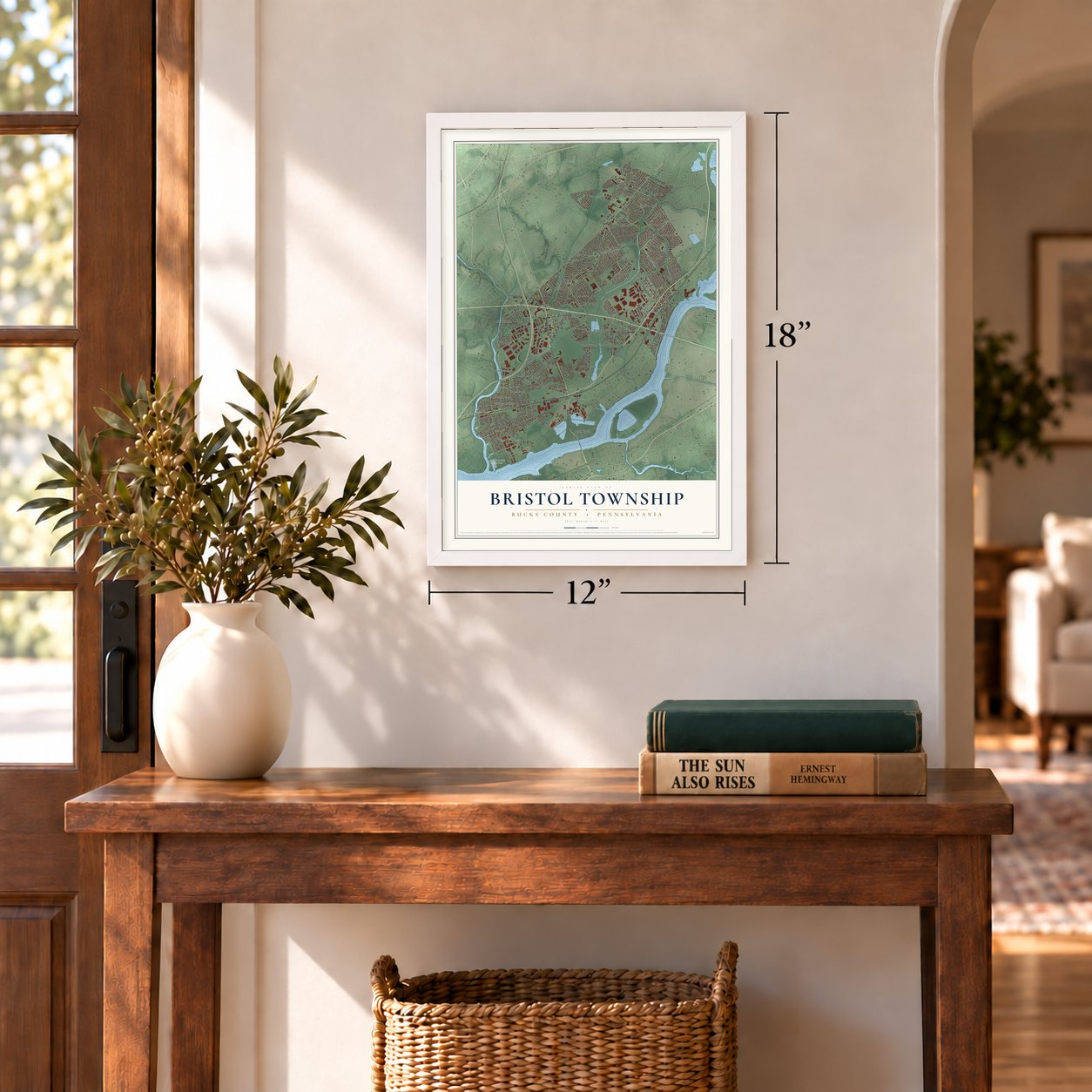
Unframed archival matte, a black wood frame or a white wood frame.
Up close
Geography Worth Displaying
This map was created using accurate cartographic data and authoritative geographic sources, including the U.S. Geological Survey and the Census Bureau. The map brings together terrain, waterways, roads, and building detail. The majority of the streets are labeled, houses are accurately depicted, and the topography is derived from government sources. Combining local data with carefully composed color and shading leads to this beautifully detailed Bristol artwork for your wall.
Rather than simply showing street outlines, we’ve included as many of the street names as we could reasonably fit on the map while keeping their names legible. Zoom in on the high resolution preview to see exactly what’s on the map. We truly set out to create a statement piece for anyone who loves Bristol. So whether it’s for you, or a gift for someone you love, we hope this map of Bristol brings back fond memories.
Read the story behind this map of Bristol Township, Pennsylvania from 2026.
Find your street
Names on the Bristol map
Every name below is printed on this map. Look for your street, your school, the park where you played, or the pond down the road.
Places and landmarks41
- Neshaminy State Park
- Birch Valley
- Bristol Terrace Number One
- Grundys Corner
- Goldenridge
- Stonybrook
- Maple Beach
- Newportville
- Mill Creek Falls
- Winder Village
- Edgely
- Croydon
Show all 41 places
- Whitewood
- Holly Hill
- Midway
- Croydon Heights
- Farmbrook
- Red Cedar Hill
- Belardy
- Fergusonville
- Margo Gardens
- Violet Wood
- Upper Emilie
- Bath Addition
- Levittown
- Yellowood
- Greenbrook
- Emilie
- Bristol Terrace Number Two
- Indian Creek
- Maple Shade
- Wood
- West Bristol
- Magnolia Hill
- Rockdale
- Croydon Acres
- Oaktree Hollow
- Appletree Hill
- Dogwood Hollow
- Crabtree Hollow
- Blue Ridge
Streets and roads246
- New Rodgers Road
- Bristol Pike
- Veterans Highway
- Bath Road
- Durham Road
- Oxford Valley Road
- South Oxford Valley Road
- New Falls Road
- Mill Creek Parkway
- Cedar Avenue
- Kingwood Lane
- Main Avenue
- Levittown Parkway
- Main Street
- Newportville Road
- State Road
- Edgely Road
- River Road
- Green Lane
- North Radcliffe Street
- China Lane
- Bristol-Emilie Road
- Emilie Road
- Holly Drive
- Stonybrook Drive
- Ford Road
- Newport Road
- Mill Creek Road
- Blue Ridge Drive
- Red Cedar Drive
Show all 246 streets
- Indian Creek Drive
- Magnolia Drive
- Maple Avenue
- Oaktree Drive
- Wistar Road
- Haines Road
- Second Avenue
- Mill Drive
- Stanford Road
- Runway Road
- Radcliffe Street
- Palmer Avenue
- Old Rodgers Road
- Farmbrook Drive
- Prospect Avenue
- Beachway Road
- Airport Road
- Magnolia Avenue
- Fourth Avenue
- Winder Drive
- Junewood Drive
- Wood Avenue
- Spring Avenue
- Fayette Drive
- Steele Avenue
- Rittenhouse Circle
- Excelsior Avenue
- Lakeland Avenue
- Zimmerman Lane
- Violetwood Drive
- Harrison Street
- Gable Hill Road
- Fleetwing Drive
- Marion Avenue
- New York Avenue
- Plumtree Road
- Neshaminy Road
- Wharton Road
- Linton Avenue
- Wilson Avenue
- Wildflower Road
- Welsford Road
- Pearl Buck Road
- Hartel Avenue
- Emily Avenue
- Leslie Drive
- New Chestnut Street
- Central Avenue
- Franklin Street
- Coral Lane
- Fernwood Lane
- Indian Red Road
- Daffodil Lane
- Summit Avenue
- Woodside Avenue
- Elford Road
- Penn Valley Avenue
- Century Avenue
- Indigo Road
- Kindle Lane
- Girard Avenue
- East Avenue
- Broadway Avenue
- Aster Lane
- Rocky Pool Lane
- Colonial Drive
- Jolly Lane
- Murphy Drive
- Kingapple Lane
- Hood Boulevard
- Saxony Drive
- Azalea Lane
- Charles Avenue
- Airacobra Street
- Ehret Road
- Gentle Road
- Great Oak Road
- Pheasant Lane
- Oak Avenue
- Laurel Drive
- Maple Lane
- Ravine Lane
- Nancy Drive
- Middle Road
- Murray Street
- Micahill Road
- Forest Avenue
- Pine Avenue
- Fawn Lane
- Penn Street
- Bristol Oxford Valley Road
- Dixon Avenue
- Goldenridge Drive
- Beaver Dam Road
- Pennsylvania Avenue
- Plumbridge Drive
- Miller Avenue
- Ivy Hill Road
- Crossings Drive
- Rolling Lane
- Rosa Avenue
- Saybrook Drive
- Green Lynne Drive
- South Olds Boulevard
- Cherry Lane
- Ice Pond Road
- Ruby Lane
- Arthur Avenue
- Ritter Avenue
- Penn Avenue
- Elm Avenue
- Autumn Lane
- Outlook Lane
- Nebraska Avenue
- Shelter Lane
- Hardy Street
- Hayes Boulevard
- Keston Drive
- Incurve Road
- Beachway Avenue
- Russett Lane
- Greenbrier Road
- Sinclair Road
- River Lane
- Mistletoe Lane
- Iroquois Road
- Pitt Avenue
- Manning Boulevard
- Strawberry Lane
- Llanberis Avenue
- Manor Circle
- Elwood Avenue
- Pacific Avenue
- Good Lane
- Old Pond Road
- Nichol Street
- Ash Avenue
- Rainbow Lane
- Van Pelt Street
- Library Way
- Bartram Road
- Iris Road
- Mile Street
- Minot Avenue
- Peony Road
- Alder Lane
- Islet Road
- Parkway Drive
- Mack Drive
- Crest Avenue
- Patricia Lane
- Magee Avenue
- Sixth Avenue
- South Queen Anne Drive
- Kenwood Drive South
- First Avenue
- Lynnwood Avenue
- Brookside Avenue
- Border Rock Road
- Dolores Lane
- Birch Drive
- Willow Avenue
- Friendly Lane
- Elmhurst Avenue
- Pumpkin Hill Road
- Rockview Drive
- Coventry Lane
- Bittersweet Road
- Gridiron Road
- Frost Road
- Susan Avenue
- Malinda Drive
- Forest Lane
- Venice Avenue
- Orchard Lane
- Moore Street
- Mimosa Lane
- Stephen Avenue
- Violet Road
- Franklin Avenue
- Filbert Avenue
- Almond Lane
- Brown Avenue
- Maroon Road
- Valmore Road
- Arbor Lane
- Westview Avenue
- Norway Avenue
- Spruce Street
- Stream Lane
- Disk Lane
- Woerner Avenue
- Linda Lane
- Hibbs Lane
- Ray Avenue
- Arch Lane
- Silvi Avenue
- Otter Street
- Dogwood Drive
- Greenbrook Drive
- Grant Avenue
- Patterson Avenue
- Walnut Avenue
- Chestnut Lane
- Robin Hill Lane
- Fairway Avenue
- Perennial Drive
- Clover Avenue
- Glenwood Lane
- West Basin Drive
- Myrtle Lane
- Cinder Lane
- Gardenia Road
- Erin Drive
- Cypress Lane
- Milly Drive
Names are listed as they appear on the printed map. Zoom into the product photos to find them.
About Bristol Township, Pennsylvania
Bristol Township is a township of 54,291 people in Bucks County, near Philadelphia. The Lenape lived on this land before settlers arrived. The township was formed in 1692 under the name Buckingham Township, and in 1702 it took the name Bristol.
In 1831 the Delaware Canal was built, linking Bristol with Easton, 60 miles to the north. Even with the canal, most of the township stayed farmland until the 1950s. That changed in 1952, when William Levitt began building Levittown, and part of the new suburb went up inside Bristol Township. By the 2020 census it was the 13th largest municipality in Pennsylvania.
- A merchant from BarbadosSamuel Carpenter was born in England and came to Pennsylvania from Barbados in 1683. He grew rich as a shipping merchant in Philadelphia, and by the end of that century no one owned more land in Bristol Township than he did.
- The springs at BathFor a time, wealthy Philadelphians traveled to the springs at Bath, in Bristol Township. The springs later lost their visitors to the resort at Saratoga Springs, New York.
- The War Dog MemorialThe War Dog Memorial stands in front of the Bristol Township Municipal Building. It was dedicated in 2006.
- African and Latino heritageTogether with Bristol Borough, the township is a cultural center for Lower Bucks County and hosts celebrations of African and Latino heritage.
Keep exploring Pennsylvania
Bristol Township is one of 3,725 Pennsylvania towns we've mapped. Every dot on the map is a print of its own.
The search covers every state, Pennsylvania first.
Near Bristol Township
Order 2 or more town maps and save 10%. Shown in the size and finish you picked above, so they hang as a set.
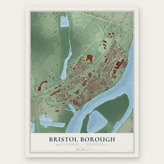
- Bristol Borough 12" x 18" / Archival Matte Print $39.99
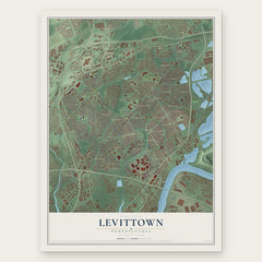
- Levittown 12" x 18" / Archival Matte Print $39.99
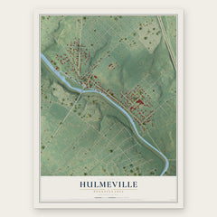
- Hulmeville 12" x 18" / Archival Matte Print $39.99
More maps nearby: Croydon, Tullytown, Penndel, Fairless Hills and Langhorne Manor.
The art of mapping a place
How This Map Was Made
Real places. Remarkable detail. Discover the layers that turn geographic data into a map of home.

The view from above
Aerial imagery reveals the character of the land: woodland, open fields, and the patterns of a place.

The shape of the land
Elevation data brings hills, valleys, and subtle changes in the landscape into view.

The details of home
Roads, waterways, and building footprints come together to make the map feel unmistakably local.

Geography becomes art
Considered color, shading, and typography bring the layers together in a map made for your wall.


Process illustrated with Mendon, Massachusetts. Aerial imagery: USDA NAIP. Terrain: USGS 3D Elevation Program. Map details and finished artwork: KNOWOL.
The Details
About This Print
Choose an archival matte print, or a black or white Ayous wood frame. The archival matte print is unframed.
Select your size and finish above to see the matching product image and price.
Materials & Craftsmanship
A contemporary map with the character of a classic atlas, printed on archival matte paper. Optional frames are made from Ayous wood.
Your printed map does not include the watermark shown in the full-map preview.
Shipping & Delivery
Free shipping within the United States. Every print is made to order in the USA.
Buying a gift? Add a note in your cart and we'll include it. We never put prices in the package.
Prints ship within 2 to 3 business days. Allow 7 to 10 days total from ordering for delivery. Timing may vary during holidays or periods of high order volume.
Read our shipping policy.
Returns and damaged prints
Each print is made to order. Change-of-mind refunds are not available after production.
If your print arrives damaged, misprinted or incorrect, contact support@knowol.com within 30 days of receiving it. Include your order number, photos and a description of the issue.
Read our full refund and replacement policy. For questions about your order, email support@knowol.com.