
Search for another town

Free U.S. delivery 7 to 10 days after you order
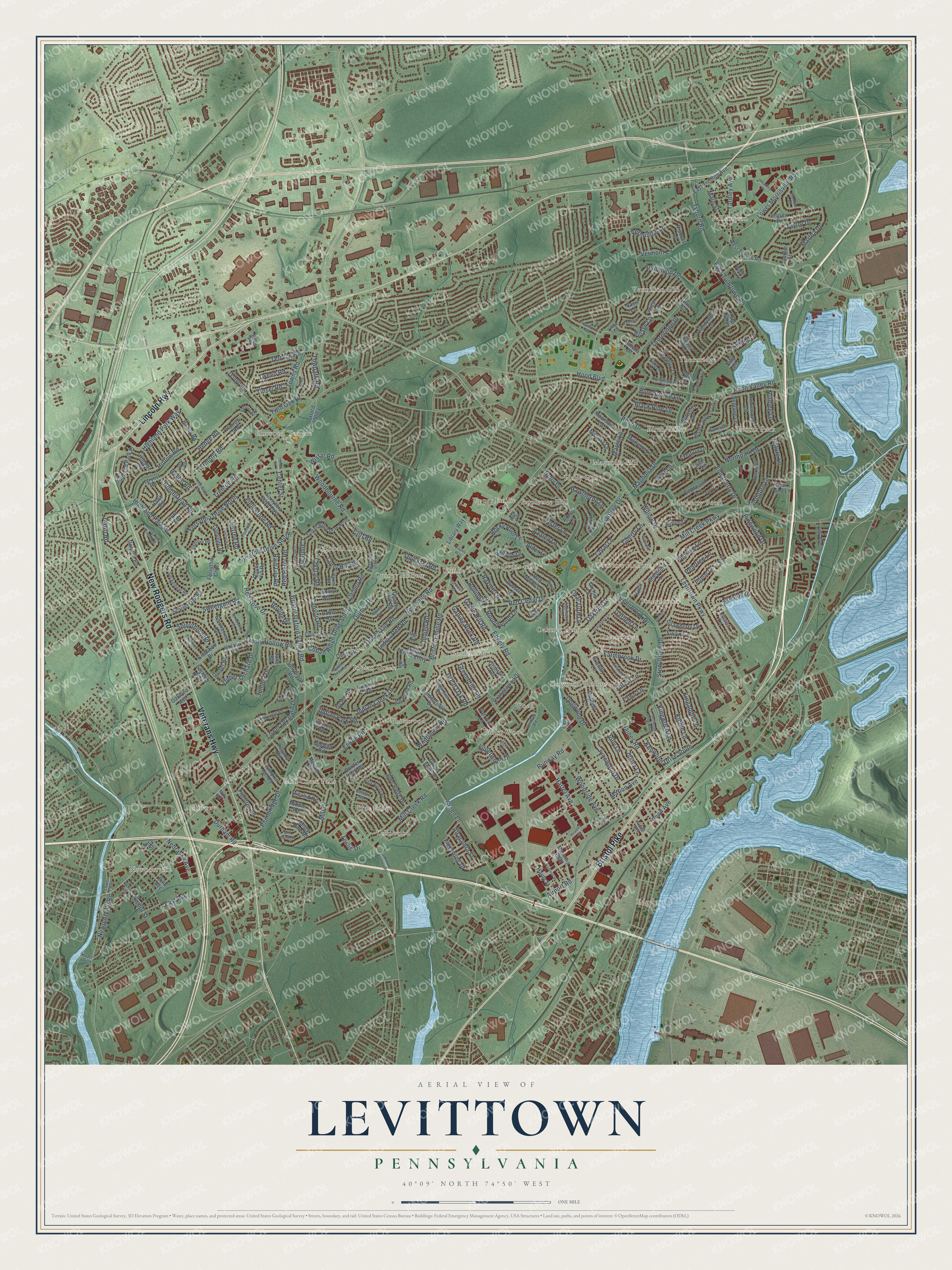
Levittown, Pennsylvania Map Art
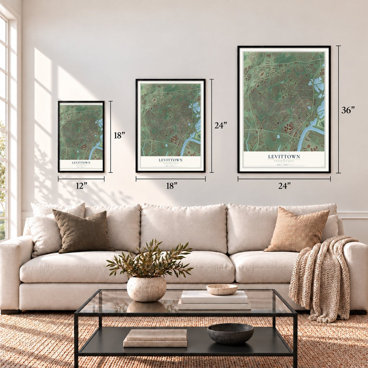
Building by building, with labeled streets and shaded relief.
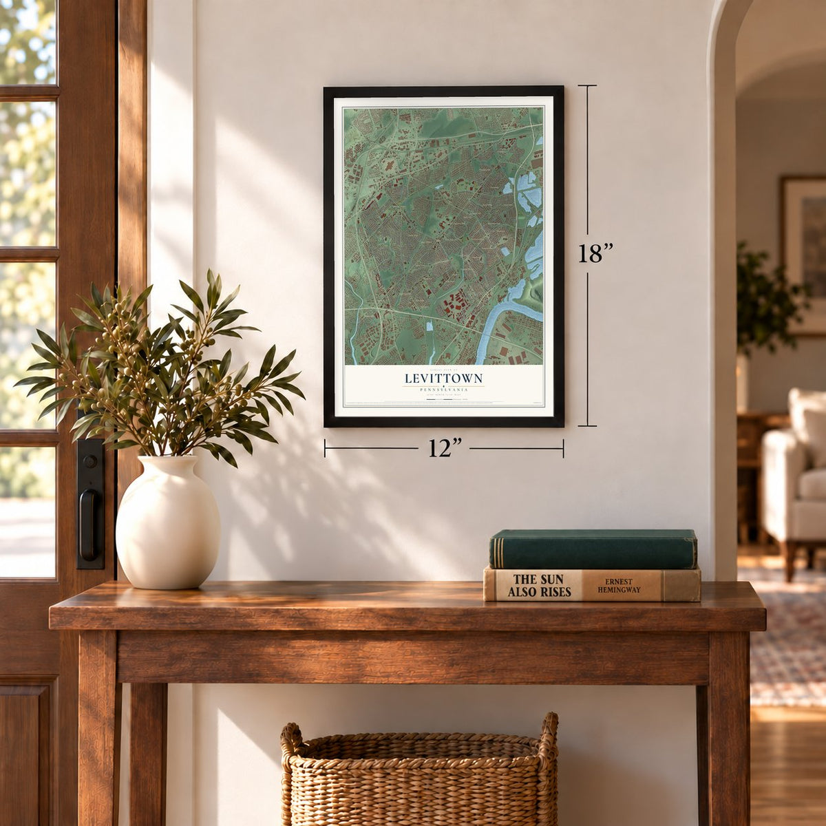
12" x 18" Archival Matte Print
A Map of Home. A Work of Art.
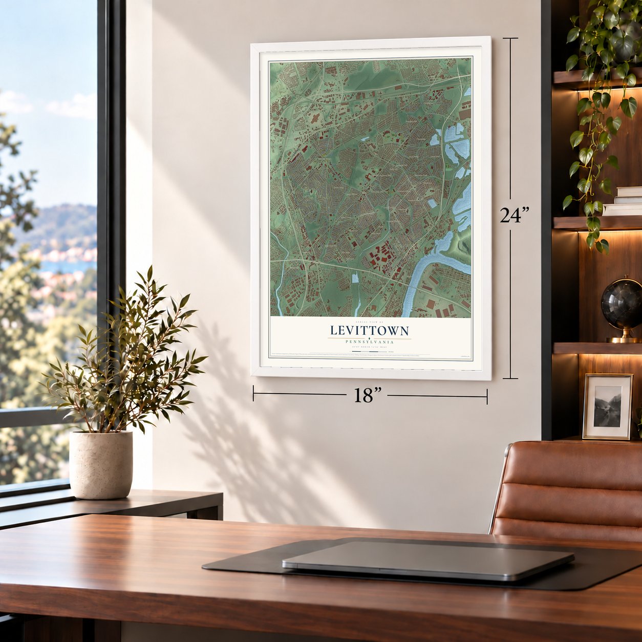
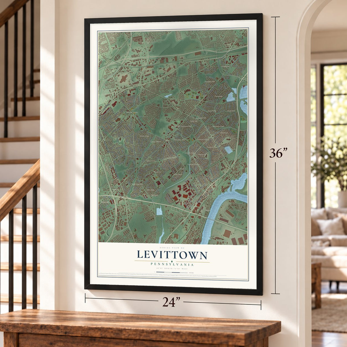
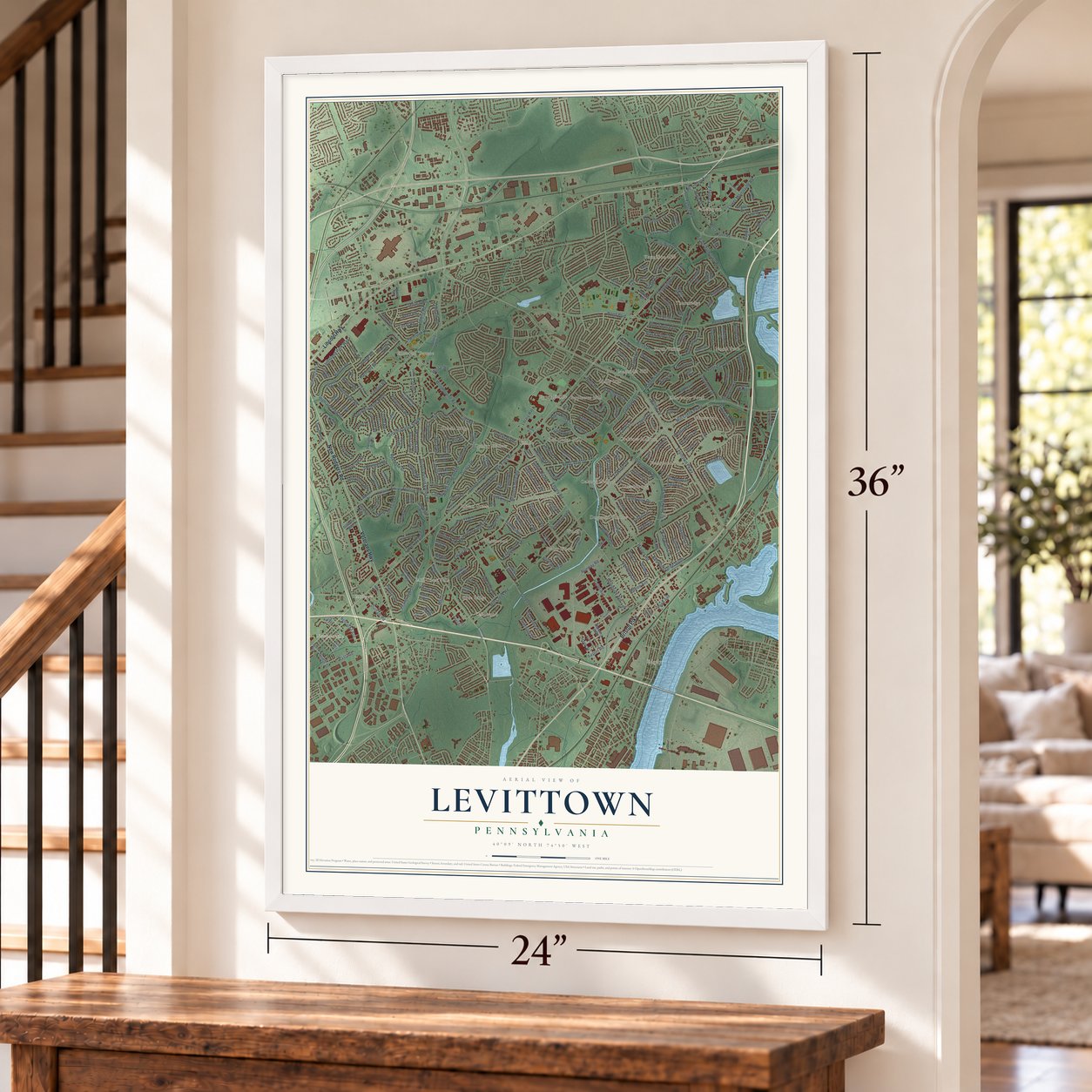
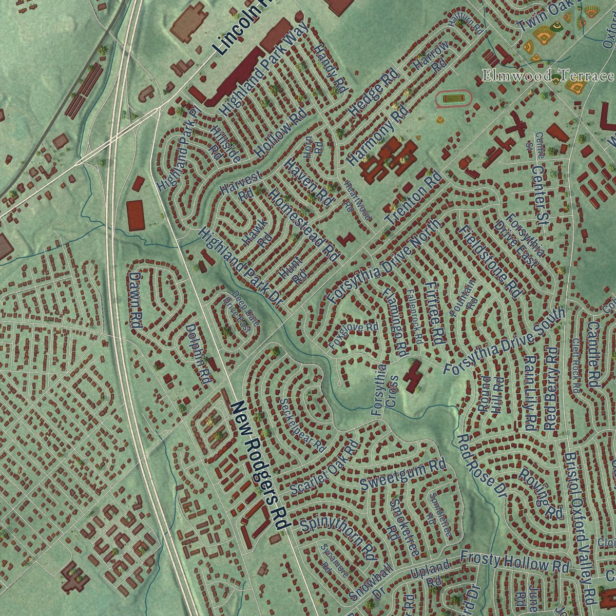
Explore Levittown, Pennsylvania from a whole new perspective. Created using aerial imagery and detailed geographic data, this map captures Levittown building by building, with labeled streets, familiar landmarks, and shaded topographical relief that highlights the natural contours of the landscape.
Combining modern data with the timeless character of a vintage atlas, this map is just as interesting up close as it is beautiful on the wall. Whether you grew up in Levittown, spent memorable years there, or call it home today, this unique map is a great way to celebrate a place that means something to you. Zoom in on the preview to look for your street, and then order a print to put your memories on the wall.
Three ways to hang it
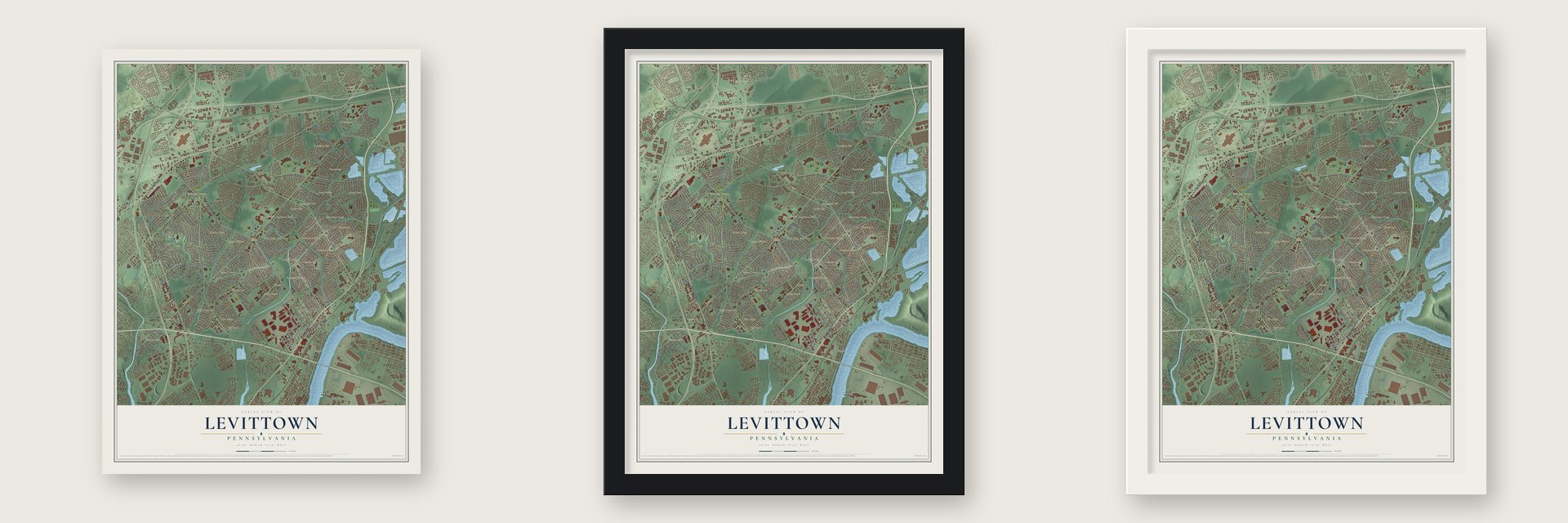
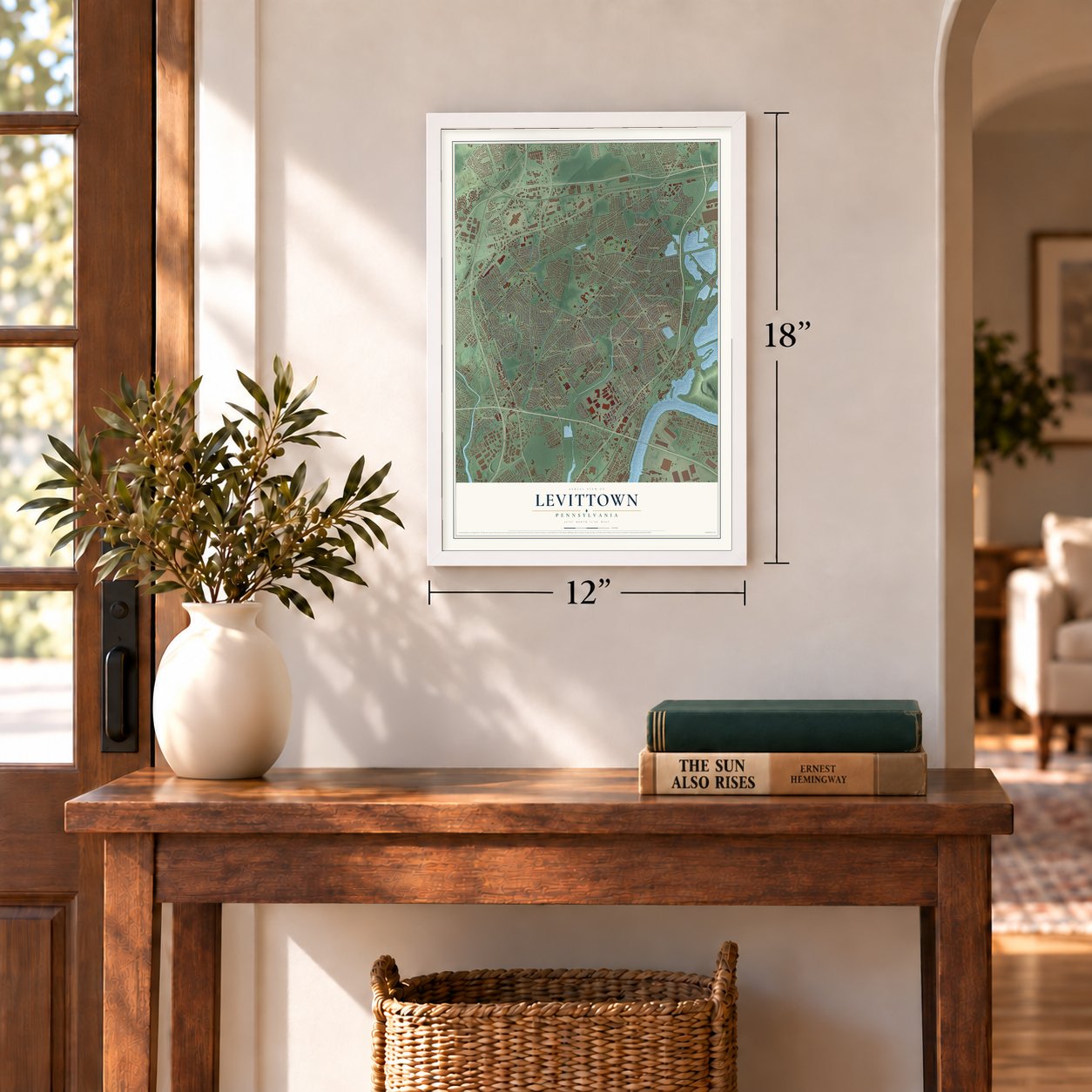
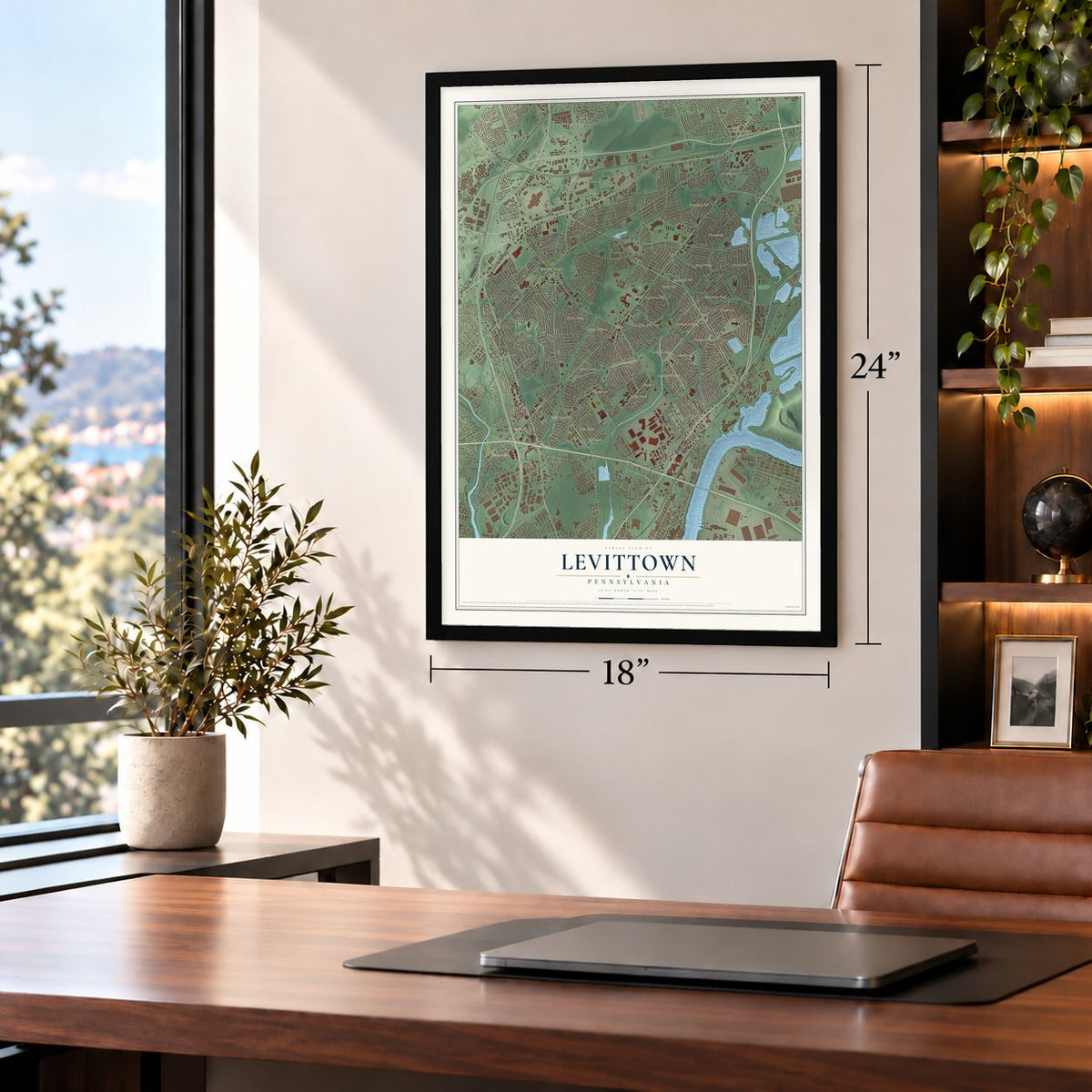
Unframed archival matte, a black wood frame or a white wood frame.
Up close
Geography Worth Displaying
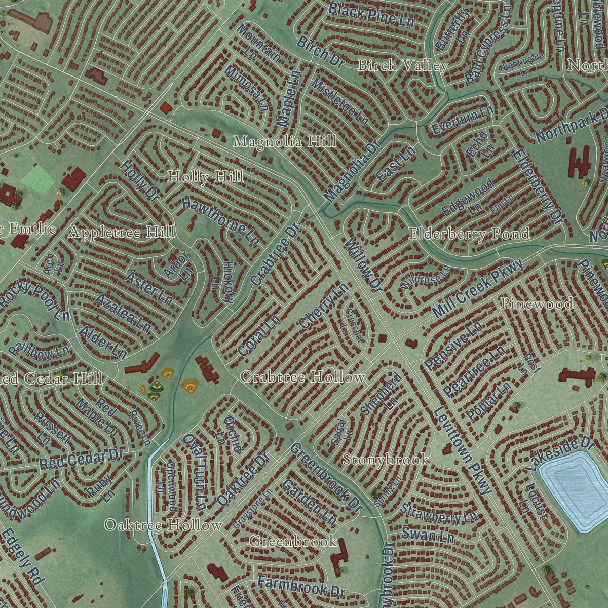
This map was created using accurate cartographic data and authoritative geographic sources, including the U.S. Geological Survey and the Census Bureau. The map brings together terrain, waterways, roads, and building detail. The majority of the streets are labeled, houses are accurately depicted, and the topography is derived from government sources. Combining local data with carefully composed color and shading leads to this beautifully detailed Levittown artwork for your wall.
Rather than simply showing street outlines, we’ve included as many of the street names as we could reasonably fit on the map while keeping their names legible. Zoom in on the high resolution preview to see exactly what’s on the map. We truly set out to create a statement piece for anyone who loves Levittown. So whether it’s for you, or a gift for someone you love, we hope this map of Levittown brings back fond memories.
Read the story behind this map of Levittown, Pennsylvania from 2026.
Find your street
Names on the Levittown map
Every name below is printed on this map. Look for your street, your school, the park where you played, or the pond down the road.
Places and landmarks32
- Red Cedar Hill
- Newportville
- Edgely
- North Park
- Blue Ridge
- Indian Creek
- Elmwood Terrace
- Magnolia Hill
- Vermilion Hill
- Dogwood Hollow
- Cobalt Ridge
- Midway
Show all 32 places
- Stonybrook
- Appletree Hill
- Violet Wood
- Pinewood
- Goldenridge
- Birch Valley
- Greenbrook
- Thornridge
- Fallsington
- Emilie
- Whitewood
- Wood
- Holly Hill
- Mill Creek Falls
- Quincy Hollow
- Oaktree Hollow
- Upper Emilie
- Crabtree Hollow
- Elderberry Pond
- Yellowood
Streets and roads301
- Bristol Pike
- New Rodgers Road
- Lincoln Highway
- Veterans Highway
- New Falls Road
- Lower Morrisville Road
- Hartel Avenue
- Yardley Avenue
- Bristol Oxford Valley Road
- Levittown Parkway
- Mill Creek Parkway
- Edgely Road
- Falls Tullytown Road
- Trenton Road
- Tyburn Road
- Woodbourne Road
- Green Lane
- Bristol-Emilie Road
- Emilie Road
- Thornridge Drive
- Mill Creek Road
- Magnolia Drive
- Holly Drive
- Stonybrook Drive
- Crabtree Drive
- Pinewood Drive
- Birch Drive
- Red Cedar Drive
- Durham Road
- Indian Creek Drive
Show all 301 streets
- Northpark Drive
- Elderberry Drive
- Dogwood Drive
- Oaktree Drive
- Haines Road
- Mill Drive
- Willow Drive
- Penn Valley Road
- Runway Road
- Quincy Drive
- Newportville Road
- Cobalt Ridge Drive South
- Forsythia Drive South
- Farmbrook Drive
- Lakeside Drive
- Vermillion Drive
- Juniper Drive
- Airport Road
- Plumbridge Drive
- Frosty Hollow Road
- Lower Orchard Drive
- Greenbrook Drive
- Junewood Drive
- Red Rose Drive
- Northturn Lane
- Twin Oak Drive
- Kenwood Drive South
- Forsythia Drive North
- Dawn Road
- Terrace Road
- Wistar Road
- Highland Park Way
- Upper Orchard Drive
- Harmony Road
- Village Lane
- Martha Drive
- Vermont Lane
- Timber Lane
- Highland Park Drive
- Hollow Road
- Violetwood Drive
- Gable Hill Road
- Fleetwing Drive
- Rolling Lane
- Hedge Road
- Marion Avenue
- Taylor Drive
- Wildflower Road
- Queen Lily Road
- Kingwood Lane
- Leslie Drive
- Fieldstone Road
- Coral Lane
- Indian Red Road
- Hood Boulevard
- Cherry Lane
- Woodside Avenue
- Vermillion Lane
- Main Street
- Indigo Road
- Crystal Road
- Firtree Road
- Kindle Lane
- Sweetgum Road
- Blue Spruce Lane
- East Avenue
- Aster Lane
- Candle Road
- Penn Avenue
- Rocky Pool Lane
- Red Berry Road
- Black Pine Lane
- Canyon Road
- Towns Road
- Homestead Road
- Towpath Road
- Curry Hill Road
- Spinythorn Road
- Jolly Lane
- Hawthorne Lane
- Nebraska Avenue
- Kingapple Lane
- Roundwood Lane
- Gaping Rock Road
- Azalea Lane
- Center Street
- Indian Park Road
- Quickset Road
- Airacobra Street
- Great Oak Road
- Roving Road
- Tweed Road
- Forest Lane
- Nature Lane
- Pensive Lane
- Rain Lily Road
- Greenbrier Road
- Maple Lane
- Peartree Lane
- Ravine Lane
- Tinsel Road
- Oval Turn Lane
- Nutmeg Lane
- Cameo Road
- Garden Lane
- Cliff Road
- Nichol Street
- Swan Lane
- Fawn Lane
- East Lane
- Haven Road
- Jester Lane
- Alder Lane
- East Trenton Avenue
- Snowball Drive
- Blue Ridge Drive
- Goldenridge Drive
- Idlewild Road
- Forsythia Drive East
- Ivy Hill Road
- Miles Road
- Plumtree Road
- Green Lynne Drive
- Border Rock Road
- Everturn Lane
- Harvest Road
- Bald Cypress Lane
- Harrow Road
- Quaker Hill Road
- Daffodil Lane
- Friendly Lane
- Orangewood Drive
- Oxford Valley
- Upland Road
- Ice Pond Road
- Pumpkin Hill Road
- Tulip Lane
- Ruby Lane
- Thornyapple Lane
- New Pond Lane
- Edgewood Lane
- Neptune Lane
- Shepherd Lane
- Vicar Lane
- Gridiron Road
- Handy Road
- Scarlet Oak Road
- Teaberry Lane
- Hardy Street
- Noblewood Lane
- West Tyburn Road
- Incurve Road
- Hickory Lane
- Hawk Road
- Russett Lane
- Highland Park Place
- Flamingo Road
- Red Maple Lane
- Indian Creek Entry
- Mistletoe Lane
- Round Hill Road
- Smoketree Road
- Margin Road
- Iroquois Road
- Manning Boulevard
- Strawberry Lane
- Middle Road
- Mimosa Lane
- Micahill Road
- Oakland Avenue
- Jensen Drive
- Poplar Lane
- Penn Lane
- Orchid Lane
- Dolphin Road
- Mountain Lane
- Pine Avenue
- Butterfly Lane
- Rainbow Lane
- Misty Pine Road
- Hunt Road
- Jollybrook Road
- Library Way
- Petunia Road
- Iris Road
- Canary Road
- Umber Road
- Tempo Road
- Cable Road
- Arbor Lane
- Hillside Road
- Viaduct Lane
- Forsythia Cross
- Lynn Avenue
- Quest Road
- Patricia Lane
- Amelia Drive
- Echo Lane
- Eastend Avenue
- Twig Lane
- Franklin Street
- Locust Lane
- Turn Hill Lane
- Vase Lane
- June Road
- Rue Court
- Nice Street
- Cobalt Cross Road
- Lower Road
- Cobalt Ridge Drive North
- Verdant Road
- Long Loop Road
- Nearwood Lane
- Seckelpear Road
- Quiet Road
- Balsam Road
- Tapered Oak Lane
- Tanglewood Lane
- River Lane
- Post Lane
- Fountain Road
- Gingerbush Road
- Wildrose Lane
- Openwood Lane
- Cloister Road
- Foxglove Road
- Grieb Avenue
- Horn Road
- Hanford Road
- Timothy Lane
- Islet Road
- Spiral Lane
- Canna Road
- Hibbs Lane
- Arch Lane
- Hazel Avenue
- Milly Drive
- Oxford Valley Road
- Heartwood Road
- Kenwood Drive North
- Deep Dale Drive East
- Cleft Rock Road
- Nightingale Lane
- Black Walnut Road
- Elm Lane
- Trail Road
- Graystone Lane
- Centre Street
- Queen Anne Road
- Spring Lane
- Fallenrock Road
- Spindletree Road
- Vista Road
- Nichol Avenue
- Freedom Lane
- Headley Place
- Hanford Street
- Sycamore Road
- Headley Court
- Valentine Lane
- Crescent Lane
- Thinbark Lane
- Village Turn
- Gardenia Road
- Larkspur Road
- County Way
- Halfturn Road
- Mill Bend Road
- Ellerdale Road
- South Lane
- Headley Street
Names are listed as they appear on the printed map. Zoom into the product photos to find them.
About Levittown, Pennsylvania
Levittown is a planned community of 52,699 people in Bucks County, spread across parts of Bristol, Falls and Middletown townships and Tullytown Borough. Levitt & Sons bought most of the land in 1951 and started building in February 1952, right after finishing the first Levittown on Long Island. The first family moved in on June 23, 1952.
To build fast, the company broke the work into 26 steps. Each house stayed put while crews moved down the street, one pouring foundations, the next raising walls, then plumbers and electricians, and at the peak a house was done every sixteen minutes. In the end there were 17,311 homes on 5,750 acres, planned for 70,000 people, with land given for schools, churches, pools, parks and ball fields.
- Six house modelsWilliam Levitt and his brother, the architect Alfred Levitt, designed six single-family houses: the Rancher, the Levittowner, the Jubilee, the Colonial, the Pennsylvanian and the Country Clubber. When four sample homes went on show near the future shopping center, about 30,000 people came to see them on the first weekend.
- The Myers family in 1957Levitt & Sons refused to sell to Black buyers. In 1957 William and Daisy Myers bought a Dogwood Hollow house from a neighbor eager to sell, helped by Bea and Lew Wechsler of the Bronx, and became Levittown's first Black couple. Mobs harassed them until state authorities stepped in, a court issued an injunction and the harassers were charged. The Myerses stayed and won national praise, and Daisy Myers came to be called "The Rosa Parks of the North."
- Little League champions, 1960Levittown American won the Little League World Series in 1960 by beating a team from Fort Worth, Texas.
- The gas riots of 1979After the Camp David Accords, Arab oil nations cut off oil again, and gas lines grew long at Five Points, an intersection ringed by six service stations. On June 24 and 25, 1979, tempers turned into riots, and two of the stations were badly vandalized. The riots made national headlines and found their way into a draft speech for President Jimmy Carter.
- Shop-a-Rama, 1955The Levittown Shopping Center opened in 1955 in Tullytown, a 60-acre L-shaped mall with a 6,000-car lot and stores such as Pomeroys, Sears and Woolworth's. It was the largest east of the Mississippi, but the bigger, enclosed Oxford Valley Mall drew shoppers away from the mid-1970s on. The rebuilt site reopened in 2002 as the Levittown Town Center.
Keep exploring Pennsylvania
Levittown is one of 3,725 Pennsylvania towns we've mapped. Every dot on the map is a print of its own.
The search covers every state, Pennsylvania first.
Near Levittown
Order 2 or more town maps and save 10%. Shown in the size and finish you picked above, so they hang as a set.
- Fairless Hills 12" x 18" / Archival Matte Print $39.99
- Bristol Township 12" x 18" / Archival Matte Print $39.99
- Tullytown 12" x 18" / Archival Matte Print $39.99
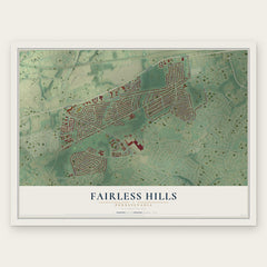
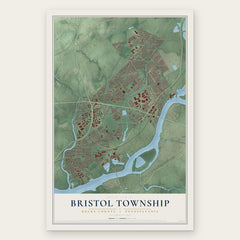
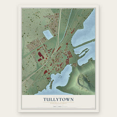
More maps nearby: Hulmeville, Penndel, Bristol Borough, Middletown and Fallsington.
The art of mapping a place
How This Map Was Made
Real places. Remarkable detail. Discover the layers that turn geographic data into a map of home.

The view from above
Aerial imagery reveals the character of the land: woodland, open fields, and the patterns of a place.

The shape of the land
Elevation data brings hills, valleys, and subtle changes in the landscape into view.

The details of home
Roads, waterways, and building footprints come together to make the map feel unmistakably local.

Geography becomes art
Considered color, shading, and typography bring the layers together in a map made for your wall.


Process illustrated with Mendon, Massachusetts. Aerial imagery: USDA NAIP. Terrain: USGS 3D Elevation Program. Map details and finished artwork: KNOWOL.
The Details
About This Print
Choose an archival matte print, or a black or white Ayous wood frame. The archival matte print is unframed.
Select your size and finish above to see the matching product image and price.
Materials & Craftsmanship
A contemporary map with the character of a classic atlas, printed on archival matte paper. Optional frames are made from Ayous wood.
Your printed map does not include the watermark shown in the full-map preview.
Shipping & Delivery
Free shipping within the United States. Every print is made to order in the USA.
Buying a gift? Add a note in your cart and we'll include it. We never put prices in the package.
Prints ship within 2 to 3 business days. Allow 7 to 10 days total from ordering for delivery. Timing may vary during holidays or periods of high order volume.
Read our shipping policy.
Returns and damaged prints
Each print is made to order. Change-of-mind refunds are not available after production.
If your print arrives damaged, misprinted or incorrect, contact support@knowol.com within 30 days of receiving it. Include your order number, photos and a description of the issue.
Read our full refund and replacement policy. For questions about your order, email support@knowol.com.