
Search for another town


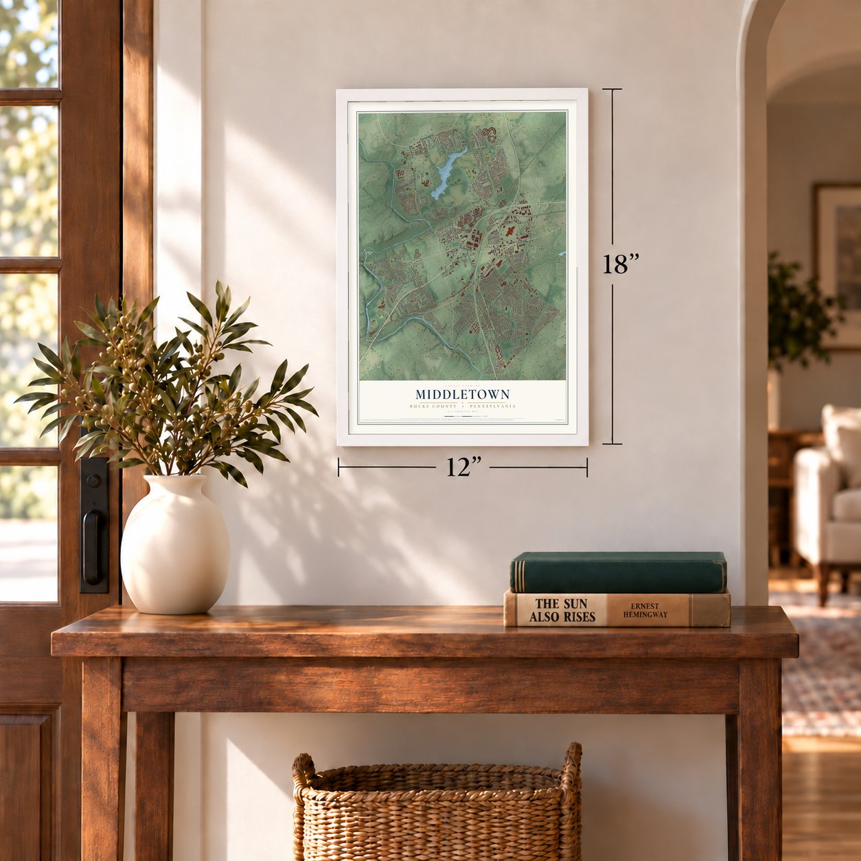

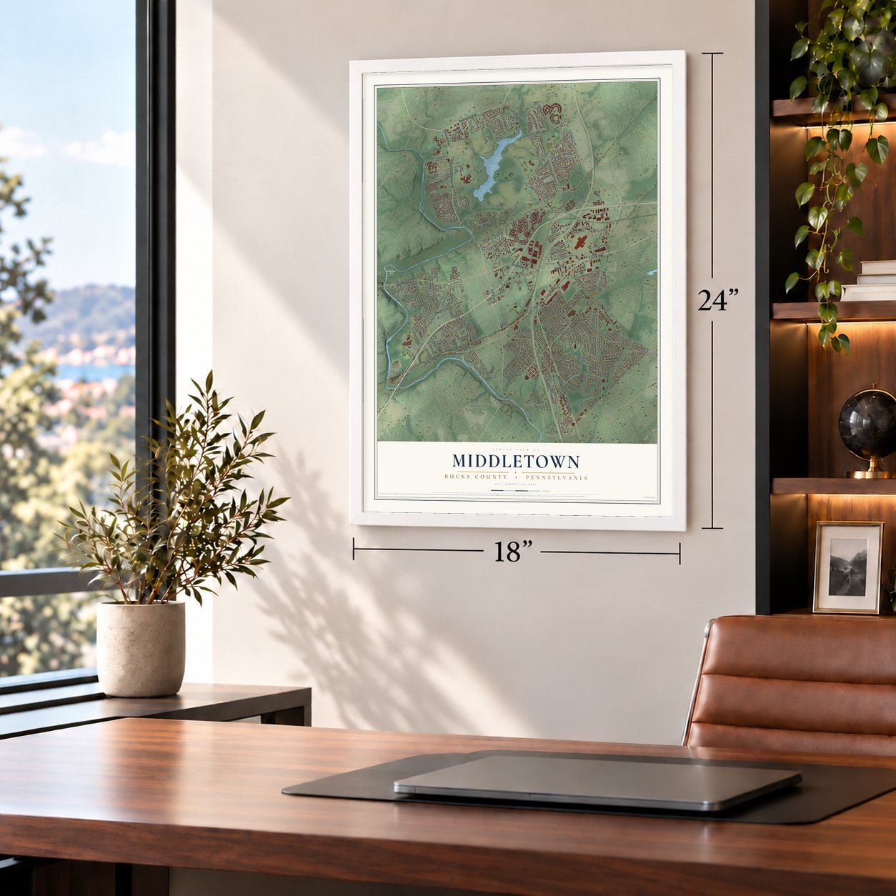
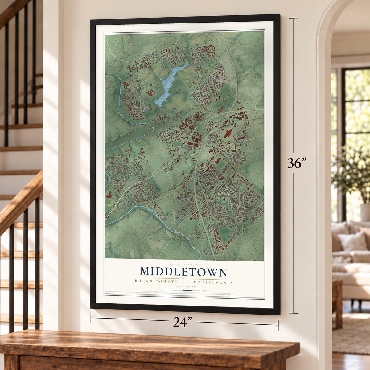
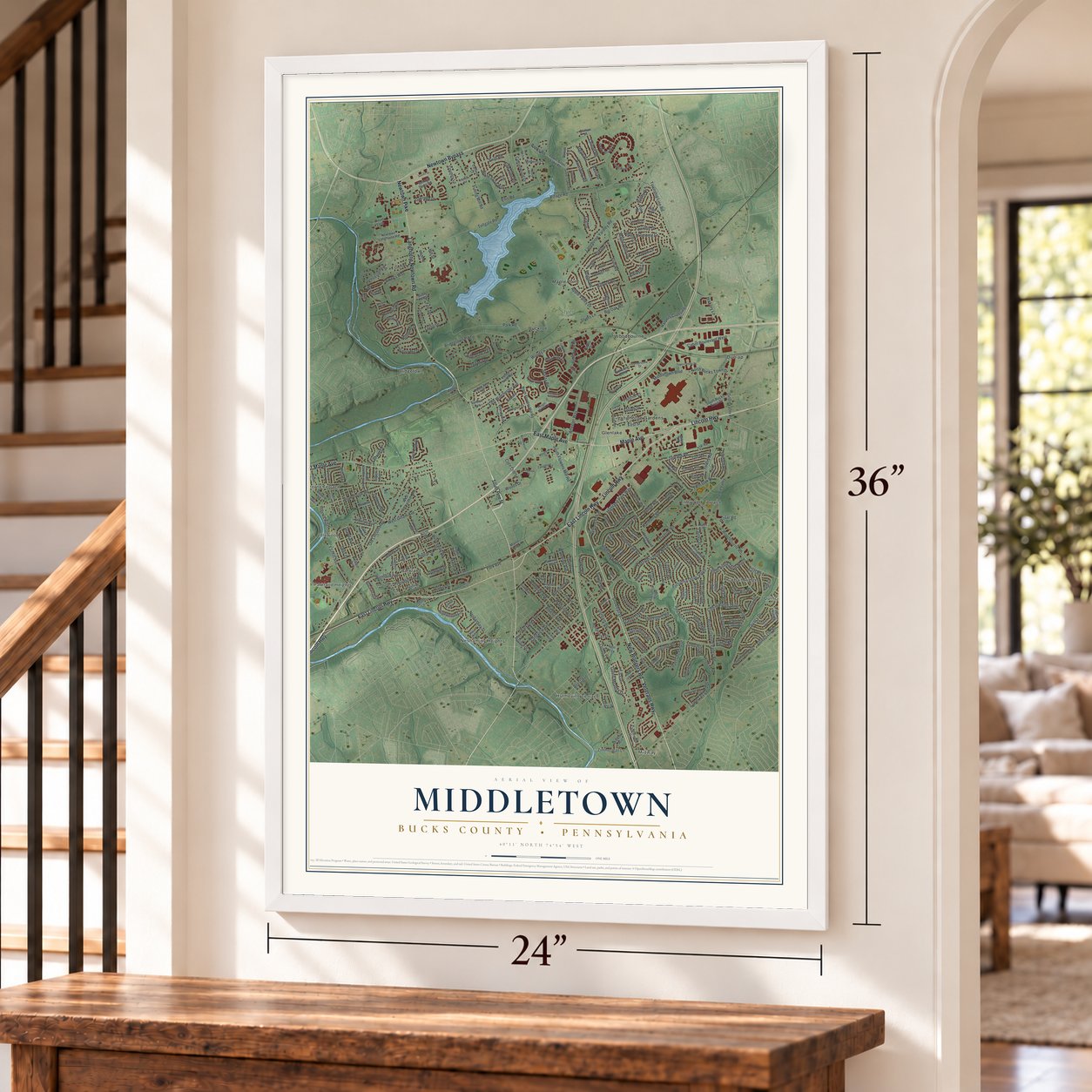

Free U.S. delivery 7 to 10 days after you order
Middletown, Bucks County, Pennsylvania Map Art
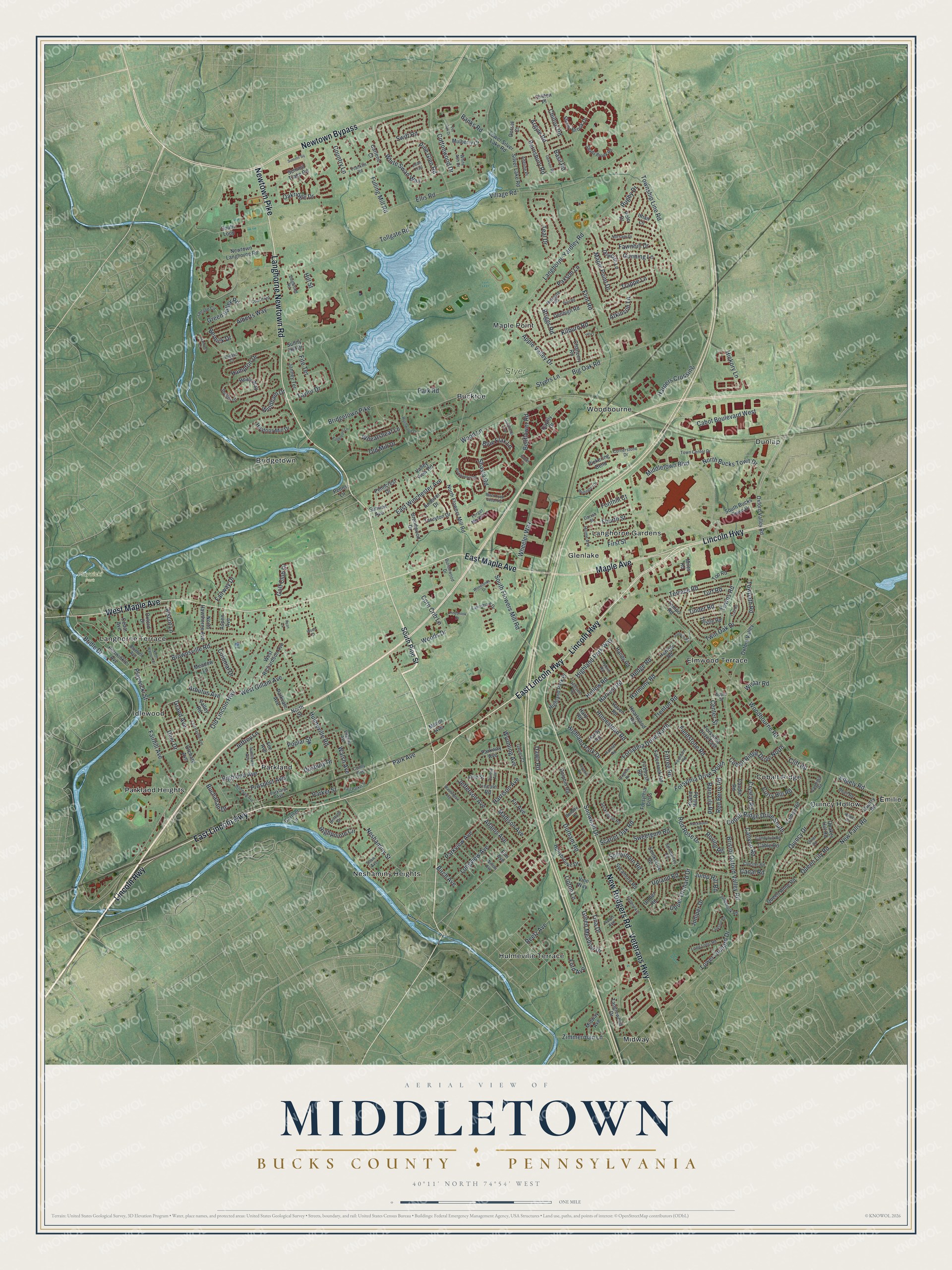
A new map of Middletown, Bucks County, Pennsylvania, made in 2026 and printed to order on thick archival matte paper.
12" x 18" Archival Matte Print
A Map of Home. A Work of Art.
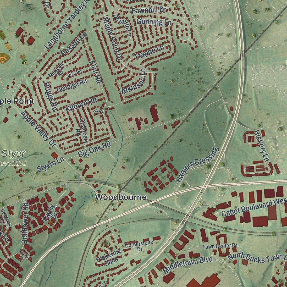
This beautifully detailed map of Middletown, Bucks County, Pennsylvania was created in 2026 using aerial imagery combined with modern topographical, census, street and landmark data. It's a modern aerial view of Middletown, Bucks County in Bucks County, Pennsylvania, that combines modern data with a vintage aesthetic. Zoom in on the preview and look for your block.
Three ways to hang it
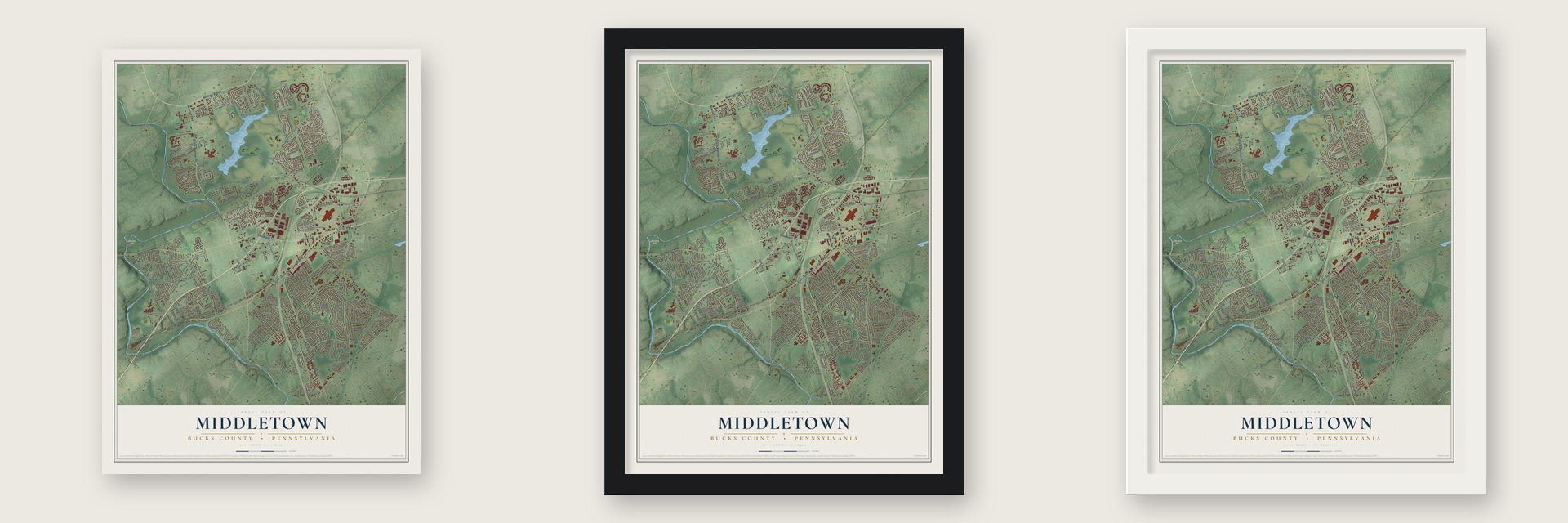
Unframed archival matte, a black wood frame or a white wood frame.
Up close
Real geography. Art worth displaying.
This map was created using accurate cartographic data and authoritative geographic sources, including the U.S. Geological Survey and the Census Bureau. The map brings together terrain, waterways, roads, and building detail. The majority of the streets are labeled, houses are accurately depicted, and the topography is derived from government sources. Combining local data with carefully composed color and shading leads to this beautifully detailed Middletown artwork for your wall.
Rather than simply showing street outlines, we’ve included as many of the street names as we could reasonably fit on the map while keeping their names legible. Zoom in on the high resolution preview to see exactly what’s on the map. We truly set out to create a statement piece for anyone who loves Middletown. So whether it’s for you, or a gift for someone you love, we hope this map of Middletown brings back fond memories.
Read the story behind this map of Middletown, Bucks County, Pennsylvania from 2026.

About Middletown, Bucks County, Pennsylvania
Middletown's recorded history reaches back to 1682, when thirty individual landowners settled the area. Incorporated in 1692, the Bucks County community was known as Middle Lots into 1703 and as Middle Township until 1724, and had 46,040 residents in 2020.
- Early SettlementThirty individual landowners settled Middletown in 1682.
- Incorporated in 1692Middletown was incorporated ten years after its settlement.
- Changing NamesMiddle Lots remained in use into 1703, while the name Middle Township continued until 1724.
- 2020 PopulationThe Census Bureau counted 46,040 people in Middletown in 2020.
- Local PlacesLocal places include Playwicki Park, Styer Orchard, Bridgetown, Cobalt Ridge, Elmwood Terrace, and Langhorne Gardens.
Find your street
Names on the Middletown map
Every name below is printed on this map. Look for your street, your school, the park where you played, or the pond down the road.
Places and landmarks20
- Playwicki Park
- Styer Orchard
- Bridgetown
- Bucktoe
- Cobalt Ridge
- Dunlap
- Elmwood Terrace
- Emilie
- Glenlake
- Hulmeville Terrace
- Idlewood
- Langhorne Gardens
Show all 20 places
- Langhorne Terrace
- Maple Point
- Midway
- Neshaminy Heights
- Parkland
- Parkland Heights
- Quincy Hollow
- Woodbourne
Streets and roads314
- Langhorne Newtown Road
- East Lincoln Highway
- Lincoln Highway
- East Maple Avenue
- New Rodgers Road
- Maple Avenue
- West Maple Avenue
- Newtown Bypass
- Veterans Highway
- Newtown Pike
- Park Avenue
- Fawnhill Drive
- Woodbourne Road
- Middletown Boulevard
- Trenton Road
- Old Lincoln Highway
- Bristol Oxford Valley Road
- Langhorne Yardley Road
- Durham Road
- New Falls Road
- Snowball Drive
- Park Road
- Township Line Road
- Hulmeville Road
- Bridgetown Pike
- Quincy Drive
- White Swan Way
- Woods Drive
- Wheeler Way
- Big Oak Road
Show all 314 streets
- Village Road
- Tollgate Road
- Highland Avenue
- Cobalt Ridge Drive South
- Cabot Boulevard West
- Brownsville Road
- Hampton Drive
- North Bucks Town Drive
- Forsythia Drive South
- Teal Drive
- Wood Lane
- Juniper Drive
- Paxson Lane
- South Flowers Mill Road
- Lower Orchard Drive
- Gunning Lane
- Alberts Way
- Red Rose Drive
- Old Mill Drive
- Fulling Mill Road
- Longview Avenue
- Shasta Road
- Twin Oak Drive
- West Gillam Avenue
- Bellflower Road
- Forsythia Drive North
- Harpers Crossing
- Neshaminy Street
- Highpointe Circle
- Terrace Road
- Dawn Road
- Maple Point Drive
- Fairway Drive
- Golf Club Drive
- Flint Road
- Green Valley Road
- Highland Park Way
- Adams Avenue
- Jefferson Avenue
- Madison Avenue
- Trappe Lane
- Upper Orchard Drive
- Windham Drive
- Apple Valley Drive
- Ford Avenue
- Harmony Road
- Poplar Street
- Atkinson Lane
- Highland Park Drive
- Hollow Road
- Hickory Lane
- Fairhill Avenue
- East Winchester Avenue
- Jeffrey Lane
- Rugby Drive
- Hedge Road
- Deer Drive
- Barnsbury Road
- Fonthill Court
- Fourth Street
- Taylor Drive
- Harvest Road
- Cobalt Ridge Drive North
- Queen Lily Road
- Green Meadow Drive
- Pine Glen Road
- Swift Road
- Oakridge Drive
- Duxbury Drive
- Kilburn Road
- Parkview Avenue
- Ellis Road
- Fieldstone Road
- Banks Road
- Edgely Road
- Harrison Avenue
- Upland Road
- Styers Lane
- Grand Avenue
- Crystal Road
- Bridle Drive
- Firtree Road
- Prospect Avenue
- Sweetgum Road
- Colonial Drive
- Tina Drive
- Red Berry Road
- Canyon Road
- Towns Road
- Homestead Road
- Chilton Road
- Towpath Road
- Curry Hill Road
- Spinythorn Road
- Country Lane
- Fite Terrace
- Zimmerman Lane
- Scarlet Oak Road
- Playwicki Street
- Briggs Road
- Center Street
- Wyoming Avenue
- Corn Crib Lane
- Roving Road
- Turf Road
- Arbutus Avenue
- First Street
- Walsh Avenue
- Tinder Road
- Wheatsheaf Lane
- Cottonwood Drive
- Rain Lily Road
- Blue Flax Lane
- Argyle Road
- Basil Road
- Fir Avenue
- Reetz Avenue
- Buchanan Drive
- Jump Hill Road
- Cliff Road
- Bernick Drive
- Alscot Lane
- Parker Street
- Wistar Road
- Birch Avenue
- Lipton Lane
- Canal Road
- Hill Street
- South Pine Street
- Oxford Valley
- Oxford Valley Road
- South Loop
- Shady Brook Drive
- Summit Trace Road
- South Bucks Town Drive
- Newtown Langhorne Road
- Heatons Mill Drive
- West Richardson Avenue
- Heartwood Road
- Forsythia Drive East
- Miles Road
- North Flowers Mill Road
- Periwinkle Avenue
- Daylily Drive
- Harrow Road
- Valley View Road
- Penncrest Drive
- Orchard Avenue
- Andover Drive
- Parkvale Avenue
- Silver Lake Road
- Quaker Hill Road
- Oxford Drive
- Pickering Bend
- Dilworth Lane
- Candle Road
- Quarry Road
- Tanglewood Drive
- Tareyton Drive
- Handy Road
- Janney Terrace
- Lower Silver Lake Road
- Queen Anne Road
- Lincoln Road
- Denbign Road
- Fallenrock Road
- Elm Avenue
- Gartner Lane
- Parkway Avenue
- North Hawthorne Avenue
- Highland Park Place
- Chancery Road
- Hollybrooke Drive
- Round Hill Road
- Firebush Road
- Smoketree Road
- Brendwood Drive
- Healy Way
- Mulberry Court
- Summit Avenue
- Carlene Court
- Cedar Avenue
- Cameo Road
- Harp Road
- Hardy Road
- Dolphin Road
- Sycamore Road
- Umber Road
- Haven Road
- Tempo Road
- Cable Road
- Fee Avenue
- Ithan Lane
- Midway Avenue
- Forsythia Cross
- Thistle Road
- Dorset Court
- Aspen Avenue
- Manor Avenue
- Sunny Hill Drive
- Valley Road
- Vine Way
- Chilton Place
- Top Road
- Meadow Lane
- Polo Drive
- Vine Street
- Penns Lane
- North Street
- Town Center Drive
- Shady Brook Road
- Buttonwood Drive
- Norsam Drive
- Long Loop Road
- Lakeshore Drive
- Bluebell Avenue
- Seckelpear Road
- Quiet Road
- Newgate Road
- White Ash Drive
- Willow Avenue
- Quail Road
- Virginia Avenue
- Camellia Road
- Forget Me Not Lane
- Fountain Road
- Spindletree Road
- Lenape Circle
- Cornerstone Drive
- Candytuft Road
- Comly Avenue
- Franklin Road
- Gables Court
- Jollybrook Road
- Coach Road
- Apple Street
- Hamlet Road
- Shelton Lane
- Quincy Avenue
- Parkland Avenue
- Cloister Road
- Sunflower Avenue
- Hillside Road
- Hybrid Road
- Hulme Avenue
- Adeline Place
- Shaw Avenue
- Dogwood Road
- Darrah Street
- Bellaire Drive
- Brittany Drive
- Ralph Avenue
- Joan Trail
- Choate Court
- Wychwood Lane
- Wellington Drive
- Woodlands Drive
- Bluebonnet Road
- Black Eyed Susan Road
- Edgemont Lane
- Trail Road
- East Ravine Avenue
- Dawson Road
- Rockwood Road
- Pin Oak Drive
- Woodvale Avenue
- Peel Road
- Pinebrook Drive
- Foxglove Road
- Quartz Road
- Goldfields Avenue
- East Parker Street
- Poppy Court
- Downhill Road
- Larkspur Road
- Eastend Avenue
- North Walnut Terrace
- Washington Avenue
- Halfturn Road
- Summit Square
- Hanover Court
- Wood Court
- Ivy Court
- Ryan Lane
Names are listed as they appear on the printed map. Zoom into the product photos to find them.
The art of mapping a place
How This Map Was Made
Real places. Remarkable detail. Discover the layers that turn geographic data into a map of home.

The view from above
Aerial imagery reveals the character of the land: woodland, open fields, and the patterns of a place.

The shape of the land
Elevation data brings hills, valleys, and subtle changes in the landscape into view.

The details of home
Roads, waterways, and building footprints come together to make the map feel unmistakably local.

Geography becomes art
Considered color, shading, and typography bring the layers together in a map made for your wall.


Process illustrated with Mendon, Massachusetts. Aerial imagery: USDA NAIP. Terrain: USGS 3D Elevation Program. Map details and finished artwork: KNOWOL.
The Details
About This Print
Choose an archival matte print, or a black or white Ayous wood frame. The archival matte print is unframed.
Select your size and finish above to see the matching product image and price.
Materials & Craftsmanship
A contemporary map with the character of a classic atlas, printed on archival matte paper. Optional frames are made from Ayous wood.
Your printed map does not include the watermark shown in the full-map preview.
Shipping & Delivery
Free shipping within the United States. Every print is made to order in the USA.
Buying a gift? Add a note in your cart and we'll include it. We never put prices in the package.
Prints ship within 2 to 3 business days. Allow 7 to 10 days total from ordering for delivery. Timing may vary during holidays or periods of high order volume.
Read our shipping policy.
Returns and damaged prints
Each print is made to order. Change-of-mind refunds are not available after production.
If your print arrives damaged, misprinted or incorrect, contact support@knowol.com within 30 days of receiving it. Include your order number, photos and a description of the issue.
Read our full refund and replacement policy. For questions about your order, email support@knowol.com.
Find your town
Looking for another city?
Find a map of home in our Pennsylvania collection.
Nearby
Maps of towns near Middletown
Know someone from one of these towns? Their map makes a great gift.
 Langhorne
, Pennsylvania
From $39.99See the map
 Langhorne Manor
, Pennsylvania
From $39.99See the map
 Penndel
, Pennsylvania
From $39.99See the map
More maps nearby: Woodbourne, Parkland, Hulmeville, Fairless Hills and Levittown.