
Search for another town




Free U.S. delivery 7 to 10 days after you order
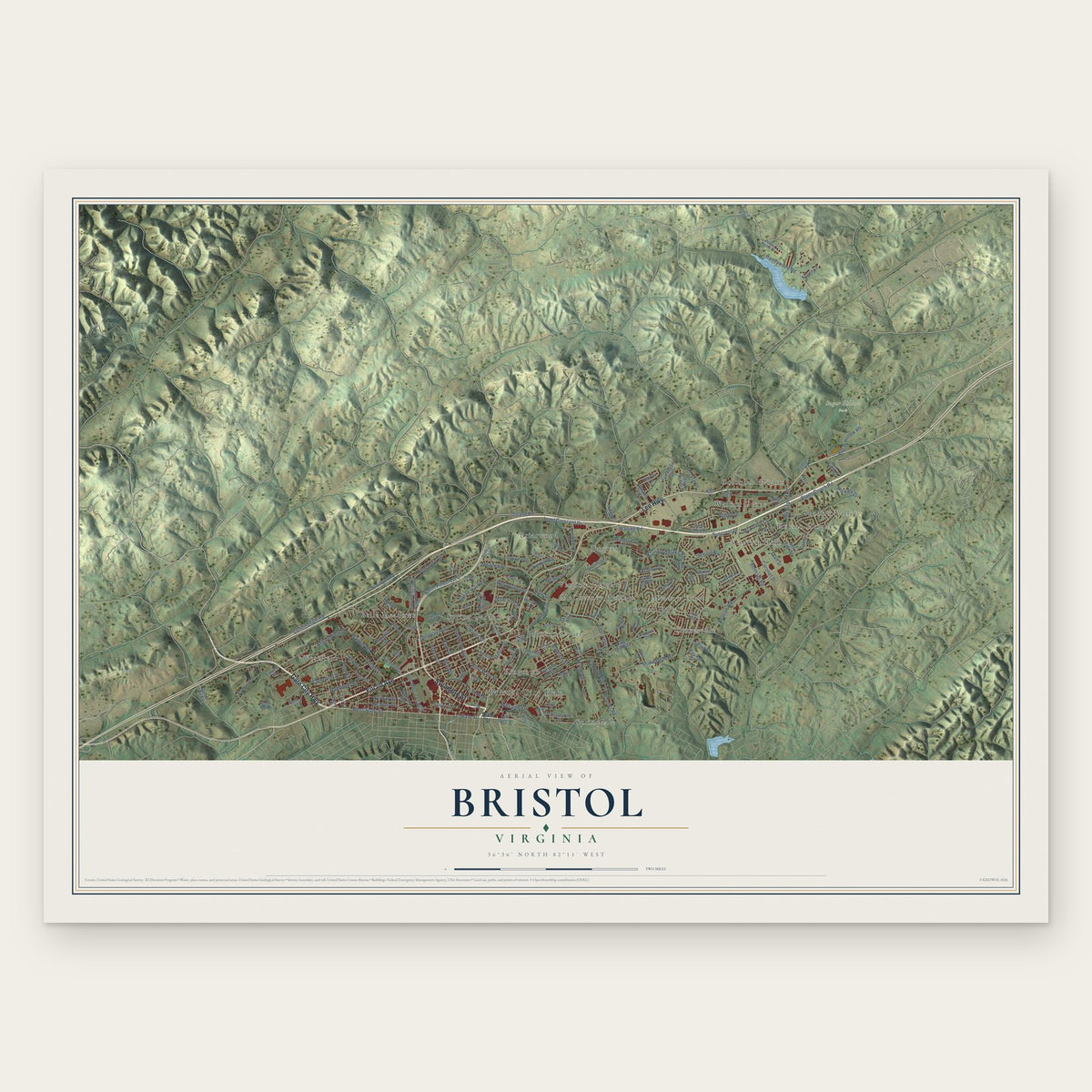
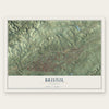
Bristol, Virginia Map Art
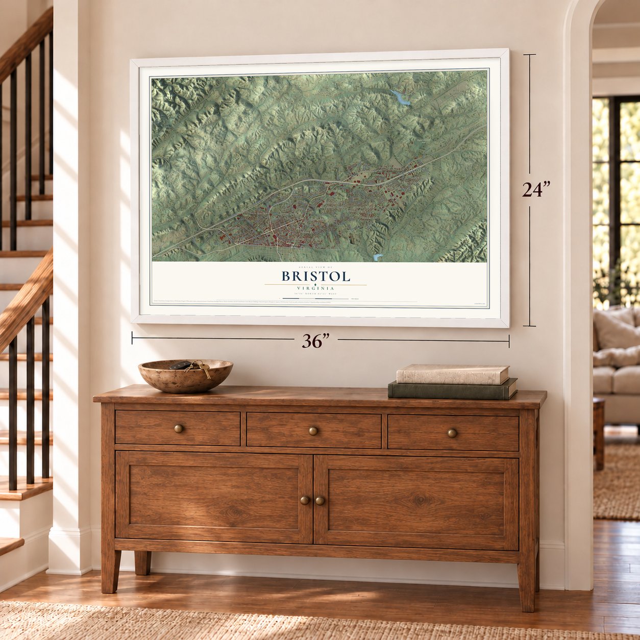
A new map of Bristol, Virginia, made in 2026 and printed to order on thick archival matte paper.
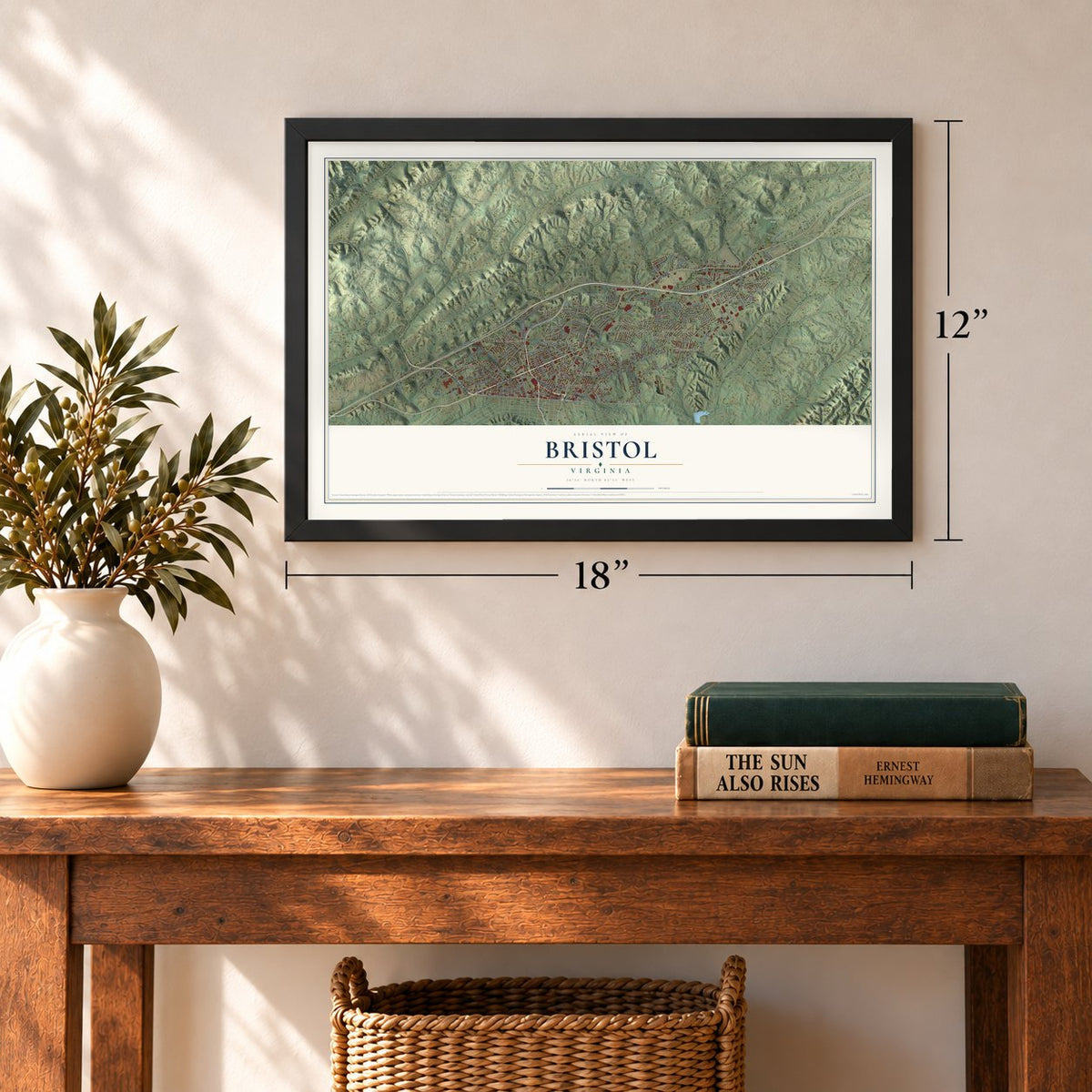
12" x 18" Archival Matte Print
A Map of Home. A Work of Art.
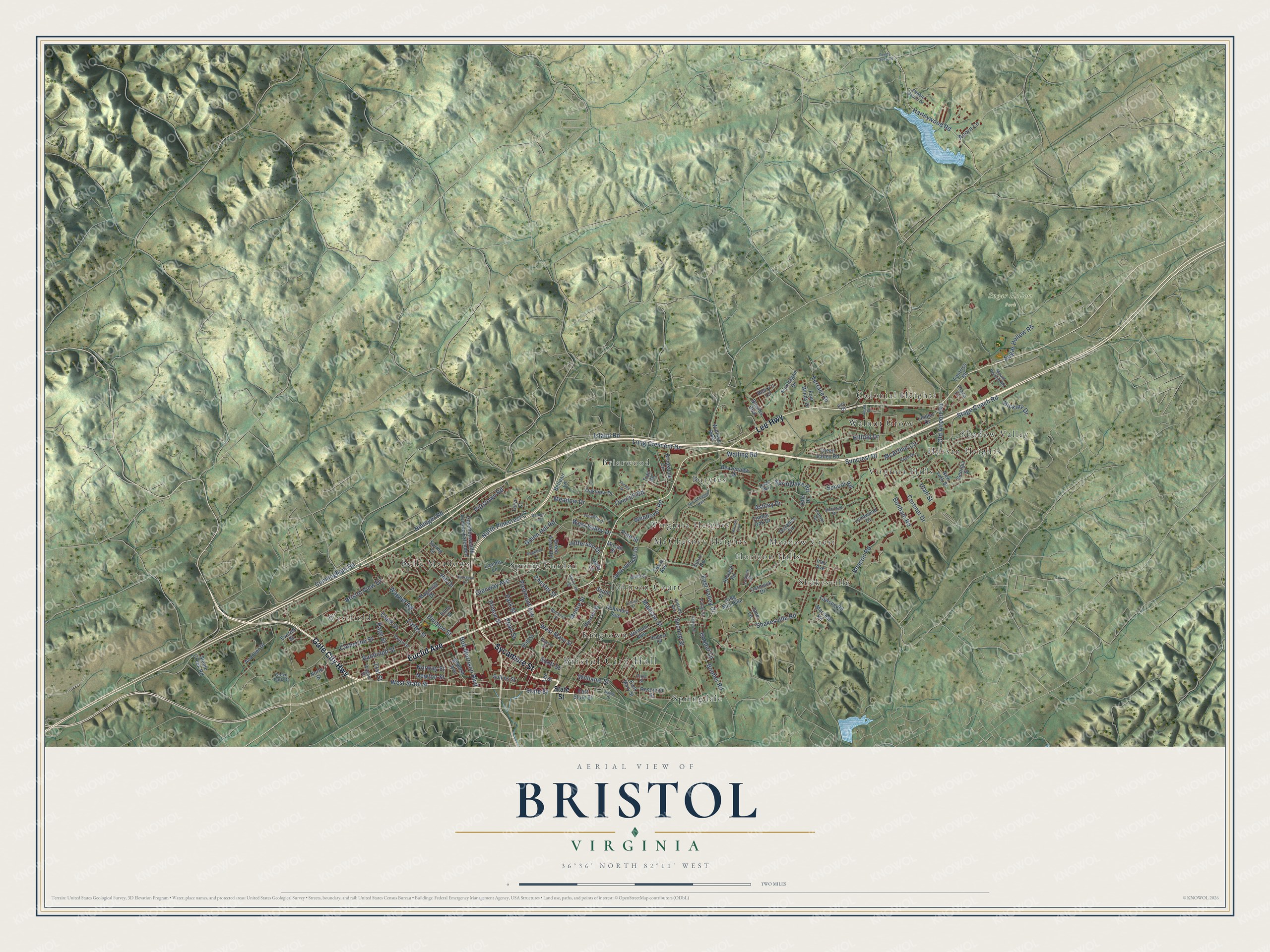
Explore Bristol, Virginia from a whole new perspective. Created using aerial imagery and detailed geographic data, this map captures Bristol building by building, with labeled streets, familiar landmarks, and shaded topographical relief that highlights the natural contours of the landscape.
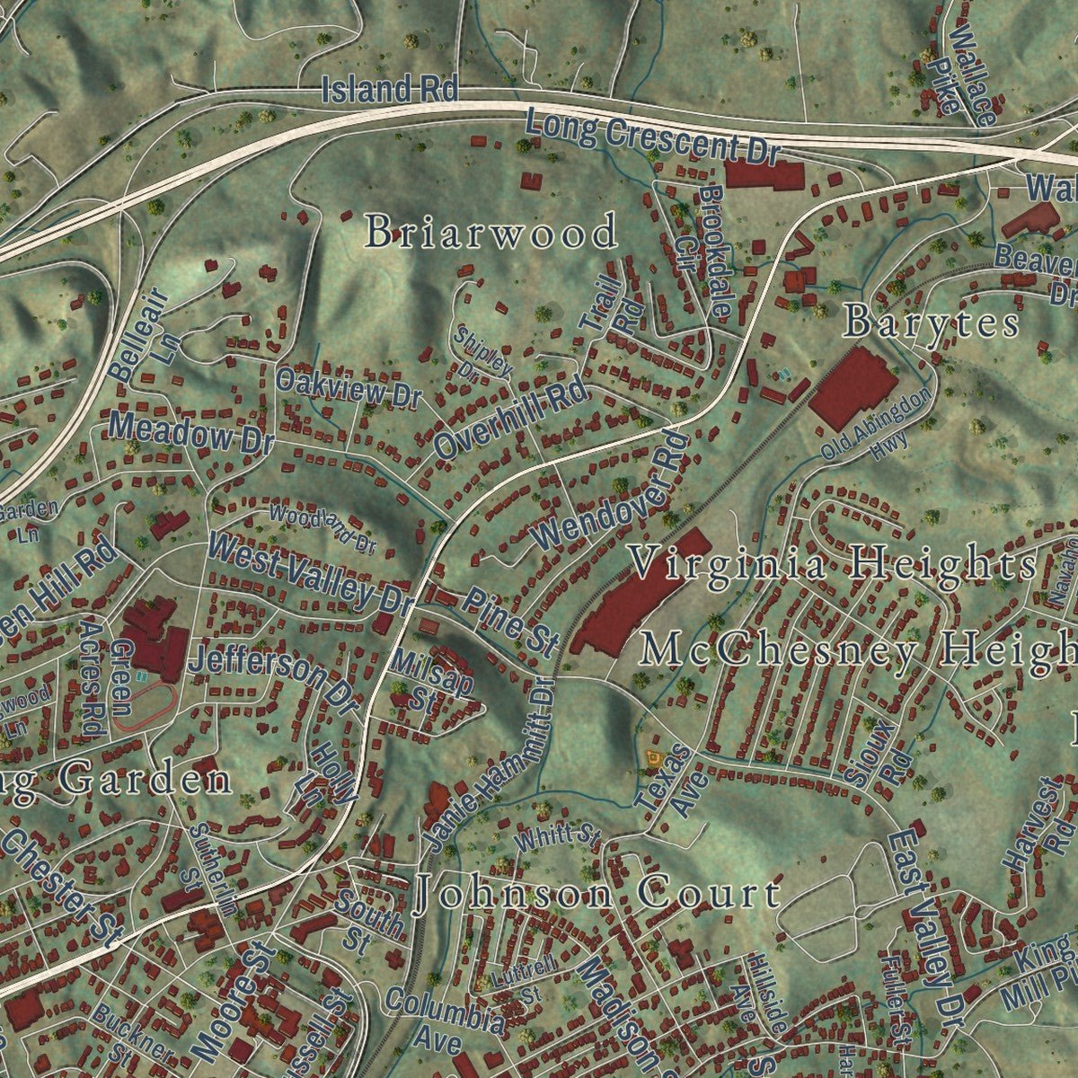
Combining modern data with the timeless character of a vintage atlas, this map is just as interesting up close as it is beautiful on the wall. Whether you grew up in Bristol, spent memorable years there, or call it home today, this unique map is a great way to celebrate a place that means something to you. Zoom in on the preview to look for your street, and then order a print to put your memories on the wall.
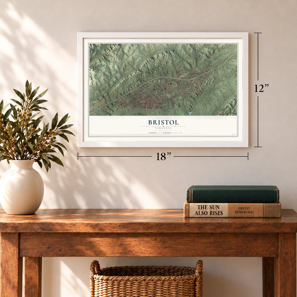
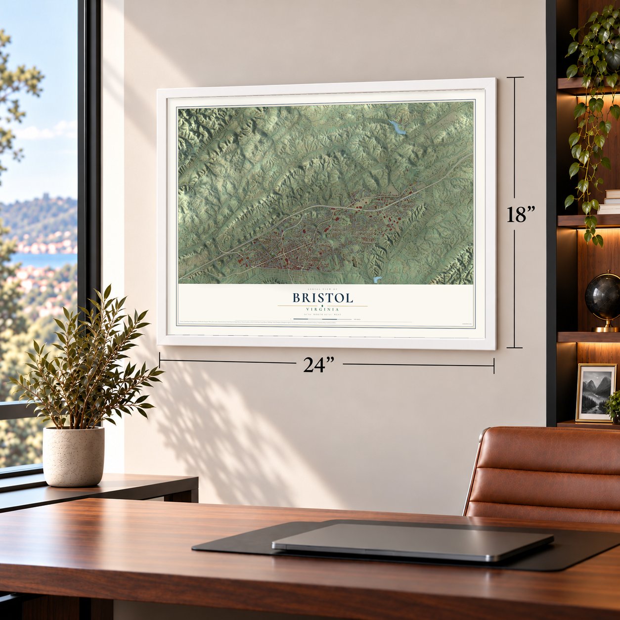
Three ways to hang it
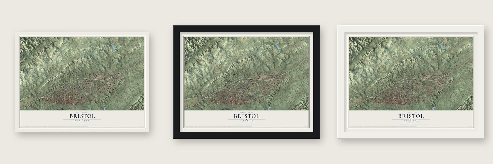
Unframed archival matte, a black wood frame or a white wood frame.
Up close
Geography Worth Displaying
This map was created using accurate cartographic data and authoritative geographic sources, including the U.S. Geological Survey and the Census Bureau. The map brings together terrain, waterways, roads, and building detail. The majority of the streets are labeled, houses are accurately depicted, and the topography is derived from government sources. Combining local data with carefully composed color and shading leads to this beautifully detailed Bristol artwork for your wall.
Rather than simply showing street outlines, we’ve included as many of the street names as we could reasonably fit on the map while keeping their names legible. Zoom in on the high resolution preview to see exactly what’s on the map. We truly set out to create a statement piece for anyone who loves Bristol. So whether it’s for you, or a gift for someone you love, we hope this map of Bristol brings back fond memories.
Read the story behind this map of Bristol, Virginia from 2026.
About Bristol, Virginia
Bristol is an independent city of 17,219 people in southwestern Virginia. The state line with its twin, Bristol, Tennessee, runs right down the middle of State Street. Evan Shelby came to the area around 1765, and in 1766 he settled his family at a spot called Big Camp Meet, which he renamed Sapling Grove. In 1774 he built a fort on a hill above today's downtown. Shelby's Station was a trading post, way station and stockade, and Daniel Boone and George Rogers Clark stopped there.
Later, surveyors planned for two railroad lines to meet at the state line. Reverend James King then gave much of his land to his son-in-law, Joseph R. Anderson, who laid out Bristol, and building began in 1853. Anderson could not incorporate one town across two states, so in 1856 the Virginia side joined Samuel Goodson's neighboring Goodsonville as the town of Goodson. The railroads arrived late that summer, and each side got its own depot, but people still called the Goodson depot Bristol, Virginia. The town took back the name Bristol in 1890, when it became an independent city.
“In 1865, at the dawn of their freedom from slavery, 42 former members of the white-led Goodson (now First) Baptist Church organized the Anglo African Baptist Church.”
- Birthplace of Country MusicIn 1927 Ralph Peer of Victor Records came to Bristol to record the old folk music of the region. On July 31 of that year A.P. Carter and his family traveled from Maces Spring, Virginia, to the Tennessee side to audition for him, and they were paid $50 for each song. Congress named Bristol the Birthplace of Country Music in a 1998 resolution, and the Birthplace of Country Music Museum is here.
- Seven on the National RegisterThe Bristol Railroad Station, Douglass School, First Baptist Church, The Grove, the King--Lancaster--McCoy--Mitchell House, Virginia High School and Virginia Intermont College are all on the National Register. Virginia Intermont College closed in 2014.
- Fiber to every door in 2001Bristol Virginia Utilities began planning a fiber optic network in the late 1990s, and in 2001 the city council approved running fiber to every home and business. Within two years the system served more than 6,000 customers. BVU became known as the first city-owned utility in the nation to bring video, phone and internet service over a network made entirely of fiber.
- Pirates baseball, 1969 to 2020The Bristol Pirates played in the Appalachian League from 1969 to 2020. When the league was turned into a summer league for college players in 2021, a new team, the Bristol State Liners, took the Pirates' place.
Find your street
Names on the Bristol map
Every name below is printed on this map. Look for your street, your school, the park where you played, or the pond down the road.
Places and landmarks20
- Bristol City Hall
- Sugar Hollow Park
- Barytes
- Belle Meadows
- Briarwood
- Colonial Heights
- Horizon Hills
- Hossan Heights
- Johnson Court
- Kingtown
- McChesney Heights
- Meadow Crest
Show all 20 places
- Shadow Valley
- Shakesville
- Spring Garden
- Springdale
- Virginia Heights
- Virginia Hills
- Walnut Grove
- Westfield
Streets and roads151
- Euclid Avenue
- Gate City Highway
- Lee Highway
- Sycamore Street
- West State Street
- State Street
- Harleywood Road
- West Mary Street
- Piedmont Avenue
- Moore Street
- Prince Street
- Bob Morrison Boulevard
- Old Airport Road
- Madison Street
- Sugar Hollow Road
- Booher Road
- Scott Street
- School Road
- Island Road
- Long Crescent Drive
- Randolph Street
- East Valley Drive
- Bonham Road
- Shakesville Road
- West Valley Drive
- Cunningham Road
- North Pinecrest Lane
- Nininger Road
- Glenway Avenue
- Bristol View Drive
Show all 151 streets
- Stage Coach Road
- Suncrest Drive
- Newton Street
- Wagner Road
- Second Street
- Meadow Drive
- Carter Street
- Hilltop Drive
- Page Street
- Norway Street
- Catherine Street
- Pearl Street
- Chester Street
- Park Street
- Division Street
- Overhill Road
- Green Hill Road
- Beacon Road
- Williams Street
- Pittstown Road
- Walling Road
- Wendover Road
- Terrace Drive
- Coronet Drive
- Springlake Road
- McArthur Circle
- Hill Drive
- Hickory Drive
- Booher Lane
- Jefferson Drive
- Ashley Drive
- Utah Street
- Pine Street
- Acorn Lane
- 21st Street
- Clark Street
- Wallace Pike
- Russell Street
- East Mary Street
- East State Street
- King Mill Pike
- Georgia Street
- Beaverview Drive
- Janie Hammitt Drive
- Texas Avenue
- Linden Drive
- North Street
- Belleair Lane
- Lynnwood Drive
- Lee Street
- Flannagan Drive
- Blevins Boulevard
- Andover Drive
- Vermont Avenue
- Commonwealth Avenue Extended
- Harvest Road
- Oak Street
- Green Valley Road
- Spring Street
- Green Acres Road
- Columbia Avenue
- Sullins Street
- Timber Oak Drive
- Oakview Drive
- Sioux Road
- Everett Street
- Loomis Lane
- Brookdale Circle
- Four Winds Drive
- Magnolia Drive
- Marshall Road
- Henry's Lane
- Reservoir Street
- Lawson Road
- New York Street
- Trail Road
- Holly Lane
- Steele Creek Road
- Fentriss Road
- Carmack Drive
- Elmo Street
- Terrance Circle
- Jane Lane
- Milsap Street
- Seward Avenue
- South Street
- Inez Avenue
- Taryn Court
- Plaza Drive
- Vale Drive
- Buckner Street
- Heritage Drive
- Vance Street
- Wagner Street
- Pace Drive
- Sutherlin Street
- Heather Road
- Fuller Street
- Pebble Beach Drive
- Mount Vernon Road
- Whitt Street
- Grove Park Drive
- Dixie Street
- Lavinia Street
- Hillside Avenue
- Patriot Circle
- Quail Way
- Quarry Street
- Hite Drive
- Reedy Creek Road
- Old Abingdon Highway
- Garden Lane
- Spurgeon Lane
- Navaho Trail
- Shipley Drive
- Woodland Drive
- Alexis Drive
- Dogwood Lane
- Luttrell Street
- Harlow Place
- Hagen Drive
Names are listed as they appear on the printed map. Zoom into the product photos to find them.
The art of mapping a place
How This Map Was Made
Real places. Remarkable detail. Discover the layers that turn geographic data into a map of home.

The view from above
Aerial imagery reveals the character of the land: woodland, open fields, and the patterns of a place.

The shape of the land
Elevation data brings hills, valleys, and subtle changes in the landscape into view.

The details of home
Roads, waterways, and building footprints come together to make the map feel unmistakably local.

Geography becomes art
Considered color, shading, and typography bring the layers together in a map made for your wall.


Process illustrated with Mendon, Massachusetts. Aerial imagery: USDA NAIP. Terrain: USGS 3D Elevation Program. Map details and finished artwork: KNOWOL.
The Details
About This Print
Choose an archival matte print, or a black or white Ayous wood frame. The archival matte print is unframed.
Select your size and finish above to see the matching product image and price.
Materials & Craftsmanship
A contemporary map with the character of a classic atlas, printed on archival matte paper. Optional frames are made from Ayous wood.
Your printed map does not include the watermark shown in the full-map preview.
Shipping & Delivery
Free shipping within the United States. Every print is made to order in the USA.
Buying a gift? Add a note in your cart and we'll include it. We never put prices in the package.
Prints ship within 2 to 3 business days. Allow 7 to 10 days total from ordering for delivery. Timing may vary during holidays or periods of high order volume.
Read our shipping policy.
Returns and damaged prints
Each print is made to order. Change-of-mind refunds are not available after production.
If your print arrives damaged, misprinted or incorrect, contact support@knowol.com within 30 days of receiving it. Include your order number, photos and a description of the issue.
Read our full refund and replacement policy. For questions about your order, email support@knowol.com.
Find your town
Looking for another city?
Find a map of home in our Virginia collection, or any town in the country.
Nearby
Maps of towns near Bristol
Know someone from one of these towns? Their map makes a great gift.
 Mendota
, Virginia
From $39.99See the map
 Abingdon
, Virginia
From $39.99See the map
 Nickelsville
, Virginia
From $39.99See the map
More maps nearby: Hiltons, Meadowview, Castlewood, Lebanon and Damascus.