
Search for another town




Free U.S. delivery 7 to 10 days after you order
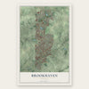
Brookhaven, Georgia Map Art
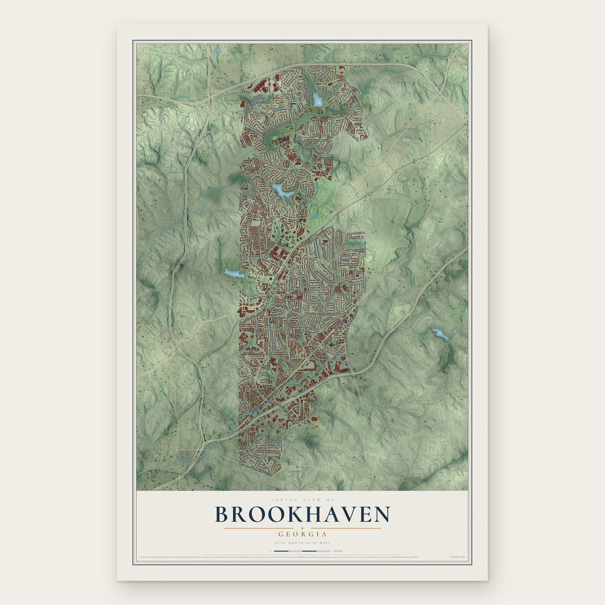
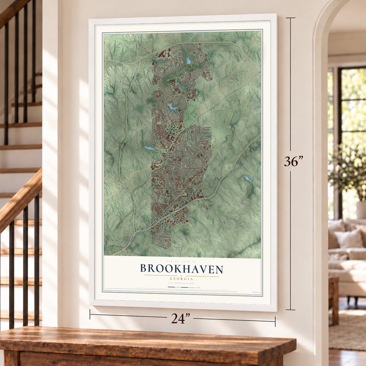
A new map of Brookhaven, Georgia, made in 2026 and printed to order on thick archival matte paper.
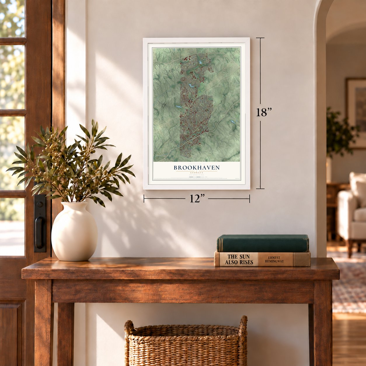
12" x 18" Archival Matte Print
A Map of Home. A Work of Art.
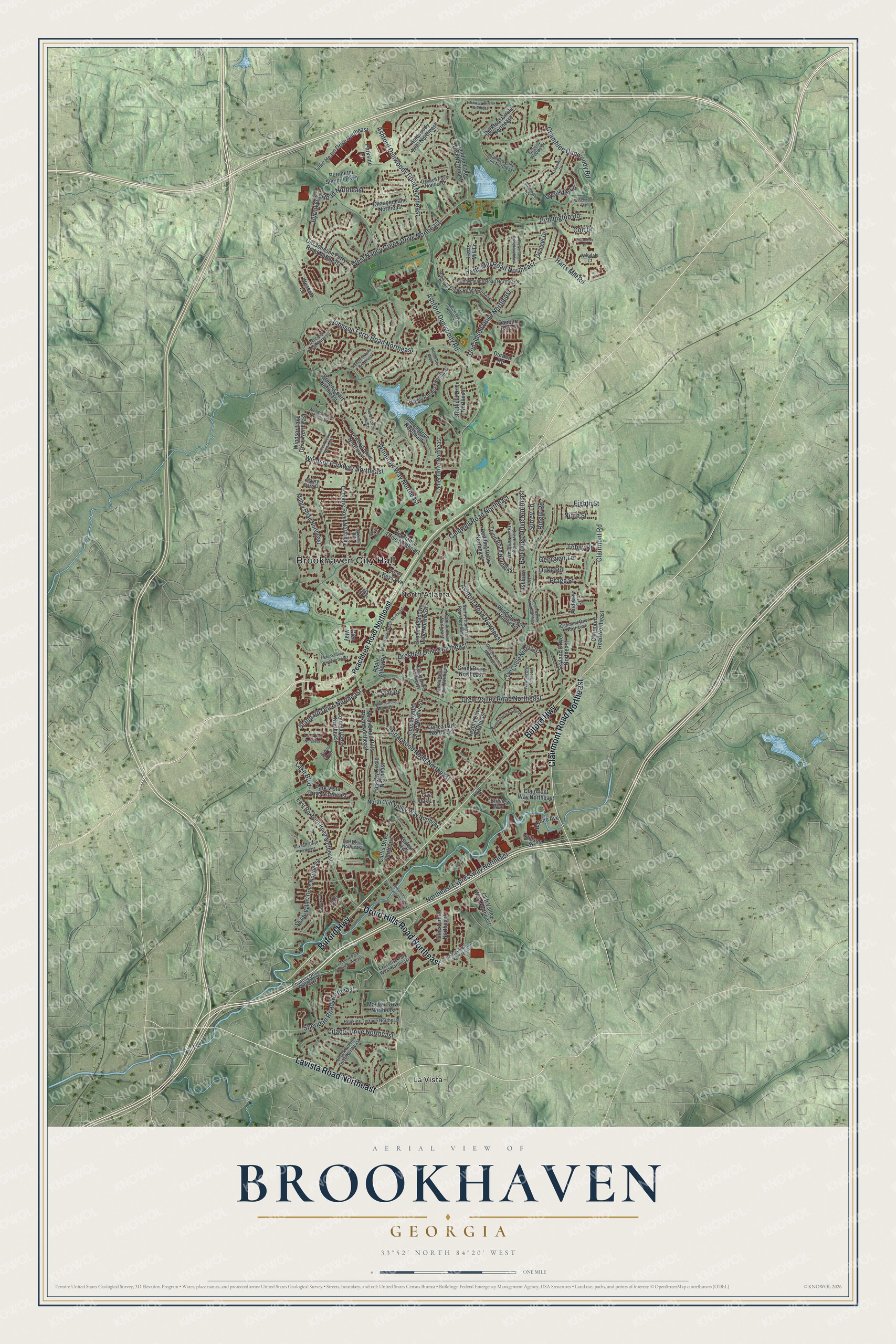
Explore Brookhaven, Georgia from a whole new perspective. Created using aerial imagery and detailed geographic data, this map captures Brookhaven building by building, with labeled streets, familiar landmarks, and shaded topographical relief that highlights the natural contours of the landscape.
Combining modern data with the timeless character of a vintage atlas, this map is just as interesting up close as it is beautiful on the wall. Whether you grew up in Brookhaven, spent memorable years there, or call it home today, this unique map is a great way to celebrate a place that means something to you. Zoom in on the preview to look for your street, and then order a print to put your memories on the wall.
Three ways to hang it
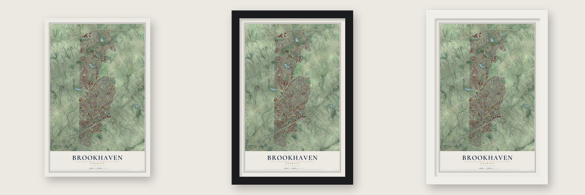
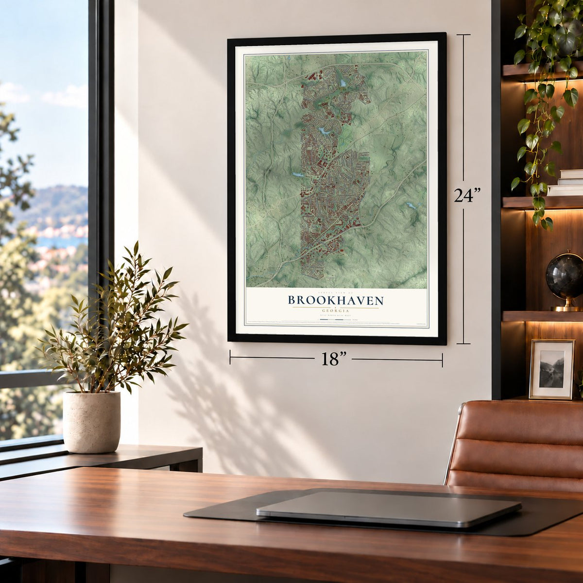
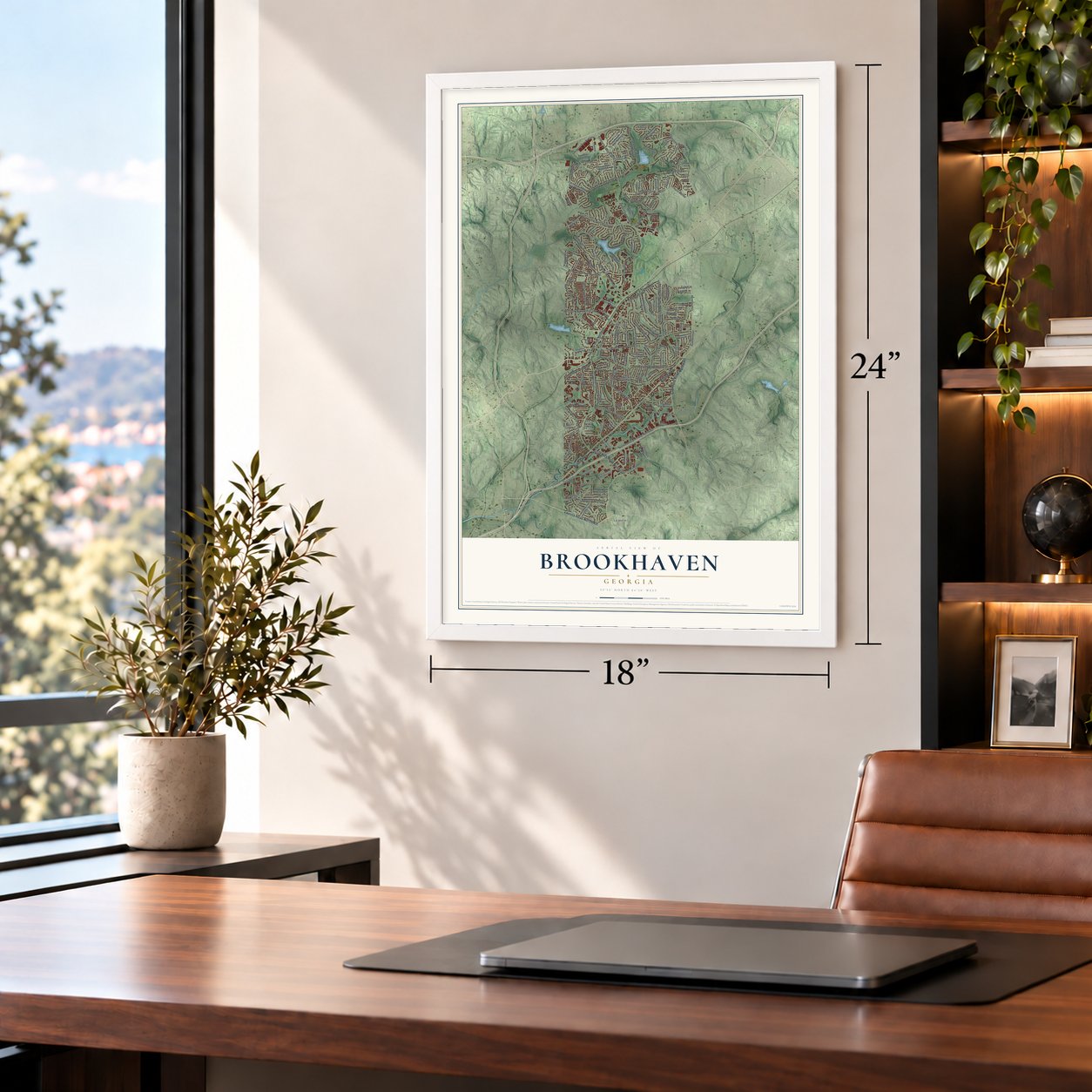
Unframed archival matte, a black wood frame or a white wood frame.
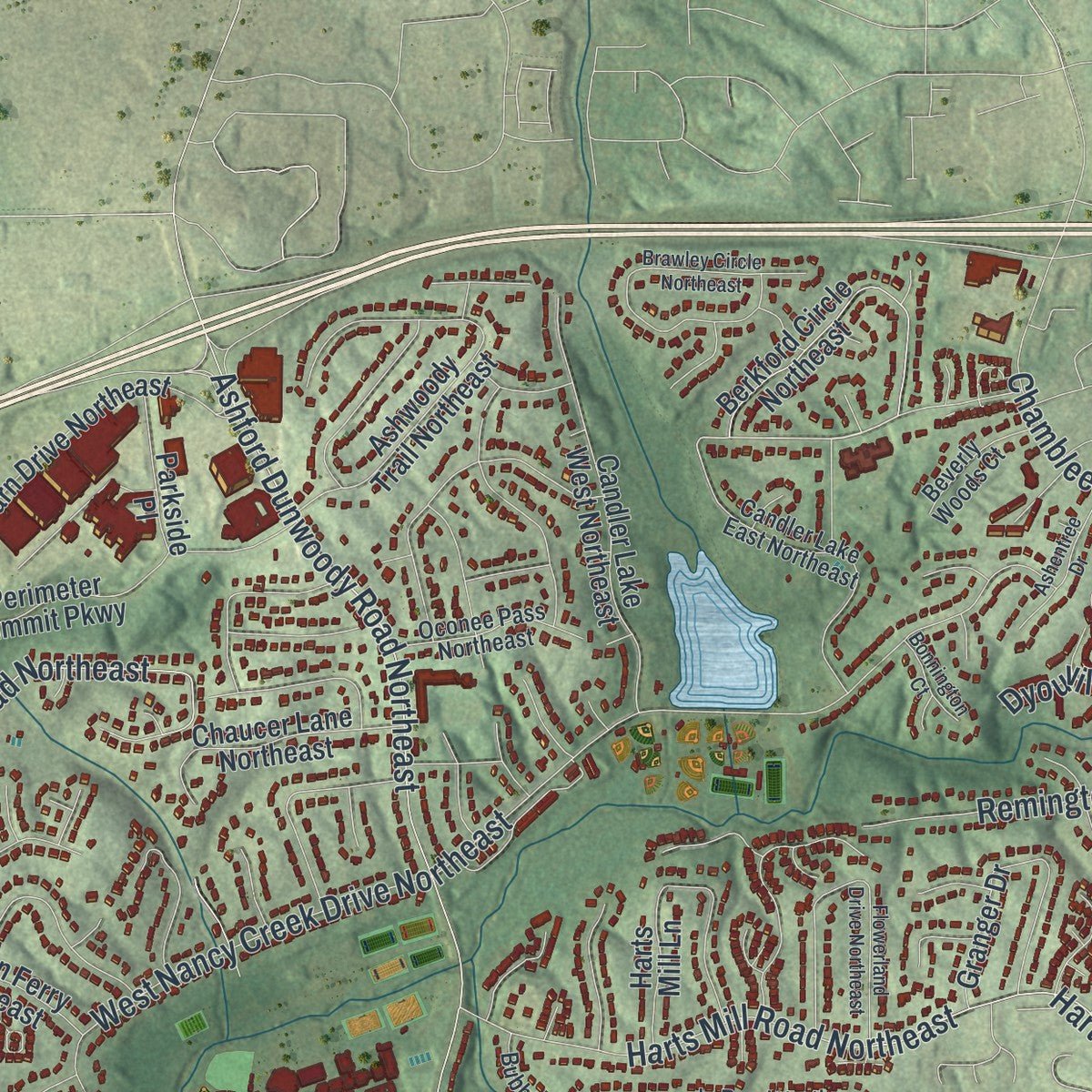
Up close
Geography Worth Displaying
This map was created using accurate cartographic data and authoritative geographic sources, including the U.S. Geological Survey (USGS) and FEMA. The map brings together terrain, waterways, roads, and building detail. The majority of the streets are labeled, houses are accurately depicted, and the topography is derived from government sources. Combining local data with carefully composed color and shading leads to this beautifully detailed Brookhaven artwork for your wall.
Rather than simply showing street outlines, we’ve included as many of the street names as we could reasonably fit on the map while keeping their names legible. Zoom in on the high resolution preview to see exactly what’s on the map. We truly set out to create a statement piece for anyone who loves Brookhaven. So whether it’s for you, or a gift for someone you love, we hope this map of Brookhaven brings back fond memories.
Explore the full map of Brookhaven, Georgia and read about the local places it shows.
About Brookhaven, Georgia
Brookhaven is a city of 56,795 people in western DeKalb County, just northeast of Atlanta, on land where Creek people once lived. John Evins started a plantation here around 1810, and in the 1830s two brothers from South Carolina, Harris and Solomon Goodwin, came to own the land. When the Atlanta and Richmond railway built a station here in 1873, it was called Goodwin's. The Goodwin home and family graveyard survive on Peachtree Road, in its 3900 block, close to Dresden Drive.
The area first became a city in 1924, under the name North Atlanta. In 1963 its leaders wanted voters to approve a new charter, and the legislature allowed the vote but added a second choice: ending the city altogether. Most voters picked that option, so the charter was dissolved in 1965. The Census Bureau kept counting North Atlanta as a census-designated place through 2010.
“Cotton and wood form the chief exports. About 140 bales of cotton shipped per annum, most of which is carried to Atlanta by wagon.”
- Cross Keys in 1876A mile north of Goodwin's along the railroad, the settlement of Cross Keys had 250 people in 1876. Nancy's Creek powered its mill, and by 1879 it had a Methodist church, a Baptist church, a common school and steam cotton gins. That old crossroads, at Ashford Dunwoody and Johnson Ferry Roads, is now the restaurant and shopping center of North Brookhaven.
- A golf course in 1912Atlanta families were building summer cottages here by about 1900. In 1910, 150 acres north of Peachtree Road were bought for homes planned around a golf course. Herbert Barker, a Long Island golf pro from Garden City, laid out nine holes that opened in 1912. Those homes, Historic Brookhaven, gave the city its name.
- The Capital City Club courseThe golf club merged with the downtown Capital City Club in 1911. Its course grew to eighteen holes in 1915, and in 1928 it got a French Provincial clubhouse by Preston Stevens.
- A city again in 2012Talk of making Brookhaven a city began in 2007, so local people could decide planning, zoning, police, fire and parks instead of the county, but the idea stalled. State Rep. Mike Jacobs revived it in 2011 with a bill to create the city. On July 31, 2012, 55% of voters approved it, and Brookhaven became DeKalb County's 11th city on December 17, 2012. That December, J. Max Davis was elected its first mayor.
Find your street
Names on the Brookhaven map
Every name below is printed on this map. Look for your street, your school, the park where you played, or the pond down the road.
Places and landmarks3
- Brookhaven City Hall
- North Atlanta
- La Vista
Streets and roads144
- Lavista Road Northeast
- Buford Highway
- Clairmont Road Northeast
- Druid Hills Road Northeast
- Ashford Dunwoody Road
- Ashford Dunwoody Road Northeast
- West Nancy Creek Drive Northeast
- Johnson Ferry Road Northeast
- Northeast Expressway Northeast
- Drew Valley Road Northeast
- Dresden Drive Northeast
- Caldwell Road Northeast
- Briarwood Road Northeast
- Chamblee Dunwoody Road
- Harts Mill Road Northeast
- Windsor Parkway Northeast
- Woodrow Way Northeast
- Byrnwyck Road Northeast
- Ashford Road Northeast
- Citadel Drive Northeast
- Clairmont Road
- Harts Mill Road
- Sheridan Road Northeast
- Donaldson Drive Northeast
- Remington Road
- Parkridge Drive Northeast
- Tobey Road
- Standard Drive Northeast
- Duke Road
- Bragg Street
Show all 144 streets
- Eighth Street
- Ringle Road
- Colt Drive
- Georgian Terrace
- Surrey Lane
- Lake Boulevard
- Star Drive
- Dyouville Lane
- Ninth Street
- Peachtree Road Northeast
- Wescott Lane
- North Druid Hills Road Northeast
- Osborne Road Northeast
- Skyland Drive Northeast
- Mabry Road Northeast
- Inman Drive Northeast
- Fairway Circle Northeast
- Redding Road Northeast
- Cove Circle Northeast
- Hermance Drive Northeast
- Lake Hearn Drive Northeast
- Lanier Drive Northeast
- Coosawattee Drive Northeast
- Colonial Drive Northeast
- Ashwoody Trail Northeast
- Stratfield Drive Northeast
- Winding Lane Northeast
- Perimeter Summit Parkway
- Curtis Drive Northeast
- Glen Way
- North Cliff Valley Way Northeast
- East Roxboro Road Northeast
- Tryon Road Northeast
- Berkford Circle Northeast
- Harts Mill Lane
- Shady Valley Drive Northeast
- Candler Lake West Northeast
- Granger Drive
- Tullie Circle Northeast
- Park Vista Drive Northeast
- Green Meadows Lane Northeast
- Cortez Lane Northeast
- Lynwood Drive Northeast
- Old Johnson Ferry Road Northeast
- Windsor Lake Drive Northeast
- Grant Drive Northeast
- Clairmont Way Northeast
- Cliff Valley Way Northeast
- Cross Keys Avenue
- Chaucer Lane Northeast
- Nesbitt Drive Northeast
- Apple Valley Road
- Stillson Street
- Mayfair Drive Northeast
- Barone Avenue
- Danbury Parc Place
- Trailview Way
- Breton Court Northeast
- Ashburn Lane
- Archway Drive
- Parkside Place
- Durden Road
- Live Oak Lane
- Ragley Hall Road Northeast
- North Thompson Road Northeast
- Bubbling Creek Road Northeast
- Candler Lake East Northeast
- Runnymeade Road Northeast
- Cravenridge Drive Northeast
- Chantilly Drive Northeast
- Hopkins Terrace Northeast
- Brook Forest Drive Northeast
- Briarcliff Road Northeast
- Oostanaula Drive Northeast
- Oconee Pass Northeast
- Canmont Drive Northeast
- Executive Park West Northeast
- Camille Drive Northeast
- Ellijay Drive Northeast
- Saxon Circle
- Beverly Woods Court
- Gail Drive Northeast
- Pelly Circle
- Wyndale Court
- Mabry Oaks Drive
- Knoll Place
- Arbor Trce
- Wise Way Northeast
- Sylvan Circle Northeast
- Brawley Circle Northeast
- Breton Circle Northeast
- Brookhaven Drive Northeast
- Mill Creek Road Northeast
- Wayland Circle Northeast
- Apple Valley Road Northeast
- Burch Circle Northeast
- Wawona Drive Northeast
- Flowerland Drive Northeast
- Cates Avenue Northeast
- Executive Park South Northeast
- Arbor Trce Northeast
- Corporate Boulevard Northeast
- South Bamby Lane Northeast
- Ashentree Drive
- Roxboro Drive Northeast
- Winchester Trail
- Mendell Circle Northeast
- Buckhead Lane
- Hallcrest Drive Northeast
- Bonnington Court
- Waddeston Way
- Chamdun Place
- Bankshill Row
- Dover Circle
Names are listed as they appear on the printed map. Zoom into the product photos to find them.
The art of mapping a place
How This Map Was Made
Real places. Remarkable detail. Discover the layers that turn geographic data into a map of home.

The view from above
Aerial imagery reveals the character of the land: woodland, open fields, and the patterns of a place.

The shape of the land
Elevation data brings hills, valleys, and subtle changes in the landscape into view.

The details of home
Roads, waterways, and building footprints come together to make the map feel unmistakably local.

Geography becomes art
Considered color, shading, and typography bring the layers together in a map made for your wall.


Process illustrated with Mendon, Massachusetts. Aerial imagery: USDA NAIP. Terrain: USGS 3D Elevation Program. Map details and finished artwork: KNOWOL.
The Details
About This Print
Choose an archival matte print, or a black or white Ayous wood frame. The archival matte print is unframed.
Select your size and finish above to see the matching product image and price.
Materials & Craftsmanship
A contemporary map with the character of a classic atlas, printed on archival matte paper. Optional frames are made from Ayous wood.
Your printed map does not include the watermark shown in the full-map preview.
Shipping & Delivery
Free shipping within the United States. Every print is made to order in the USA.
Buying a gift? Add a note in your cart and we'll include it. We never put prices in the package.
Prints ship within 2 to 3 business days. Allow 7 to 10 days total from ordering for delivery. Timing may vary during holidays or periods of high order volume.
Read our shipping policy.
Returns and damaged prints
Each print is made to order. Change-of-mind refunds are not available after production.
If your print arrives damaged, misprinted or incorrect, contact support@knowol.com within 30 days of receiving it. Include your order number, photos and a description of the issue.
Read our full refund and replacement policy. For questions about your order, email support@knowol.com.
Find your town
Looking for another city?
Find a map of home in our Georgia collection, or any town in the country.
Nearby
Maps of towns near Brookhaven
Know someone from one of these towns? Their map makes a great gift.
 Ridgedale Park
, Georgia
From $39.99See the map
 Buckhead Heights
, Georgia
From $39.99See the map
 North Buckhead
, Georgia
From $39.99See the map
More maps nearby: Pine Hills, Peachtree Park, Chamblee, Buckhead Forest and Buckhead Village.