
Search for another town



Free U.S. delivery 7 to 10 days after you order
Chamblee, Georgia Map Art
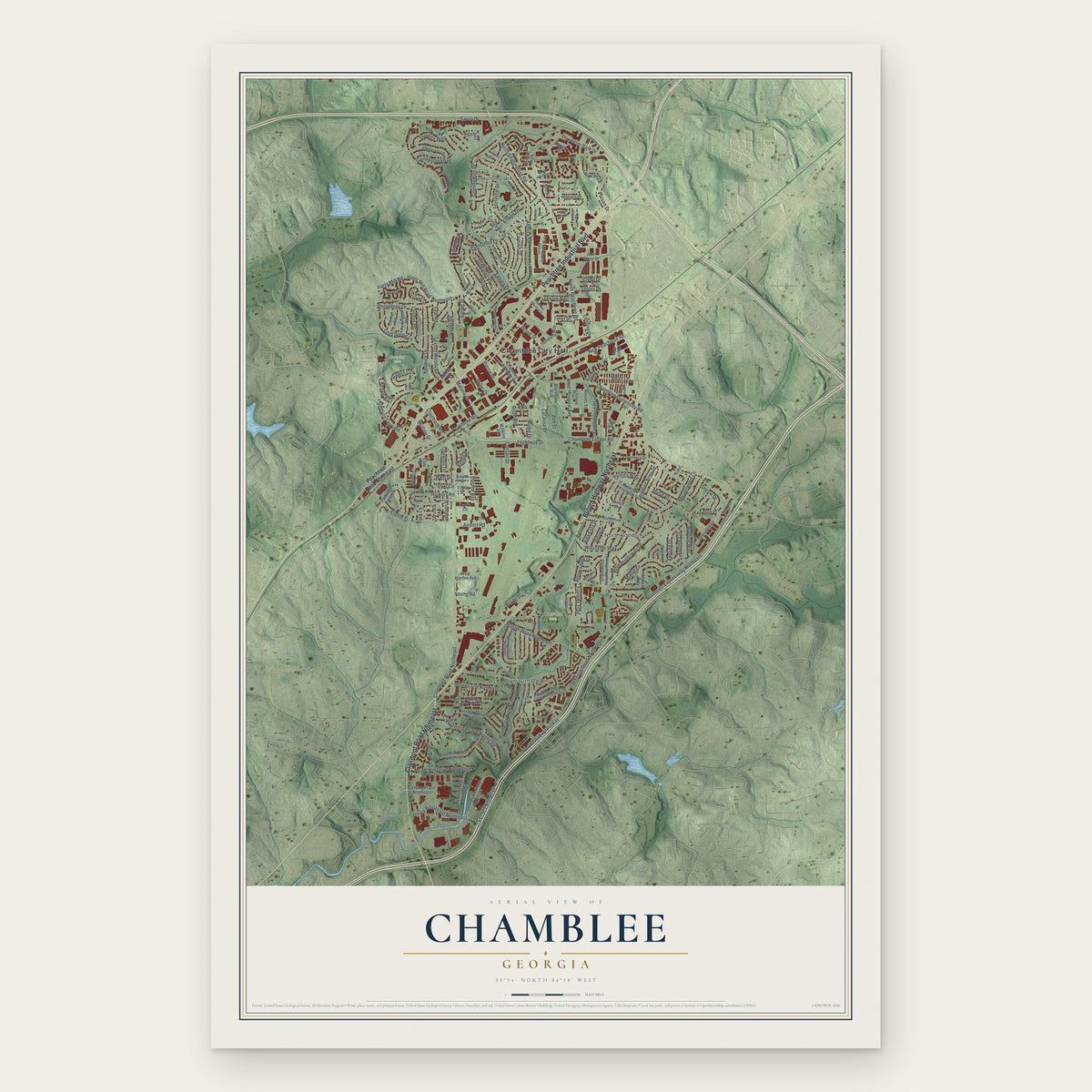
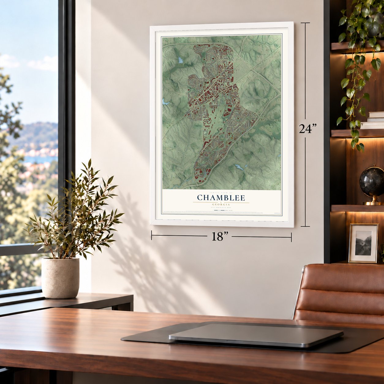
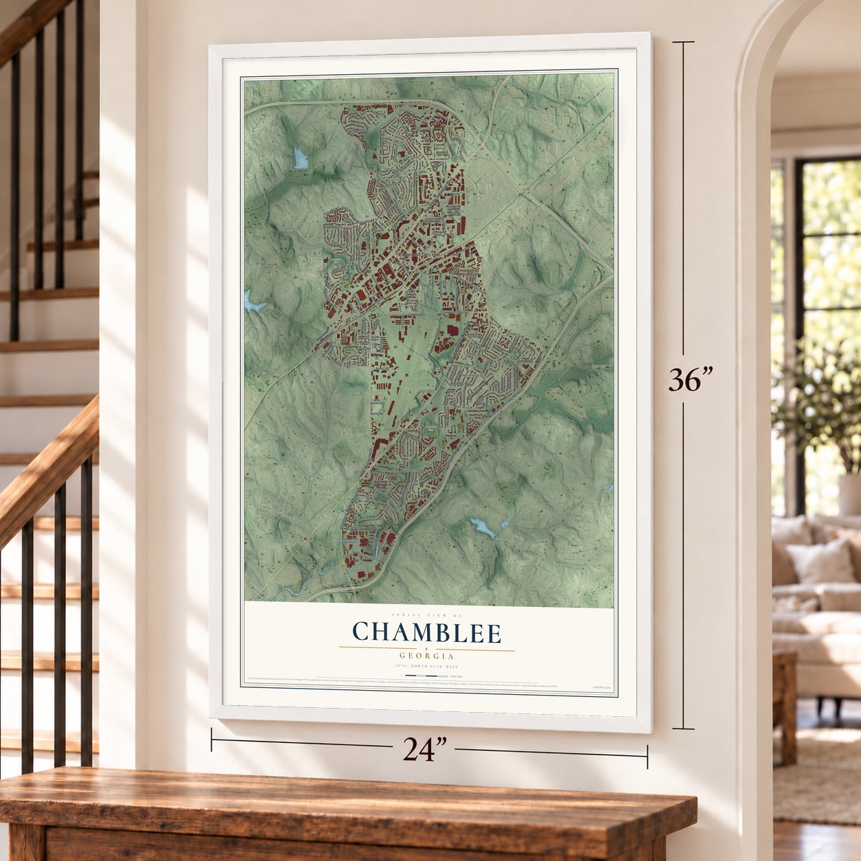
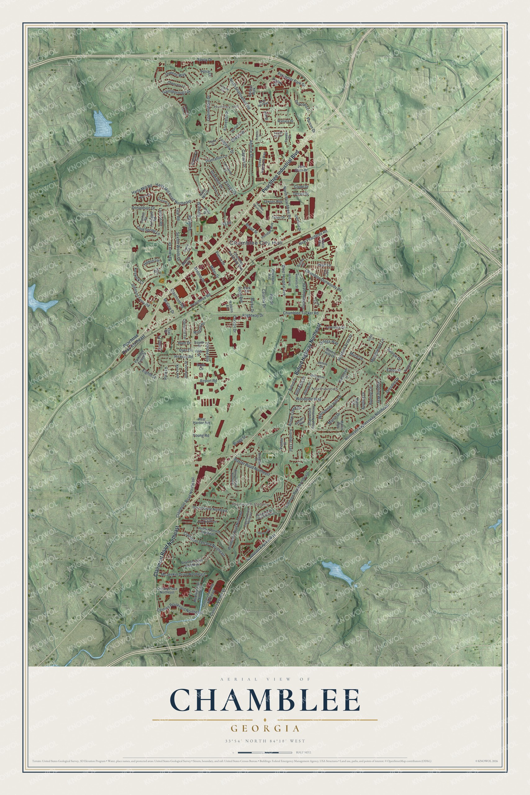
A new map of Chamblee, Georgia, made in 2026 and printed to order on thick archival matte paper.
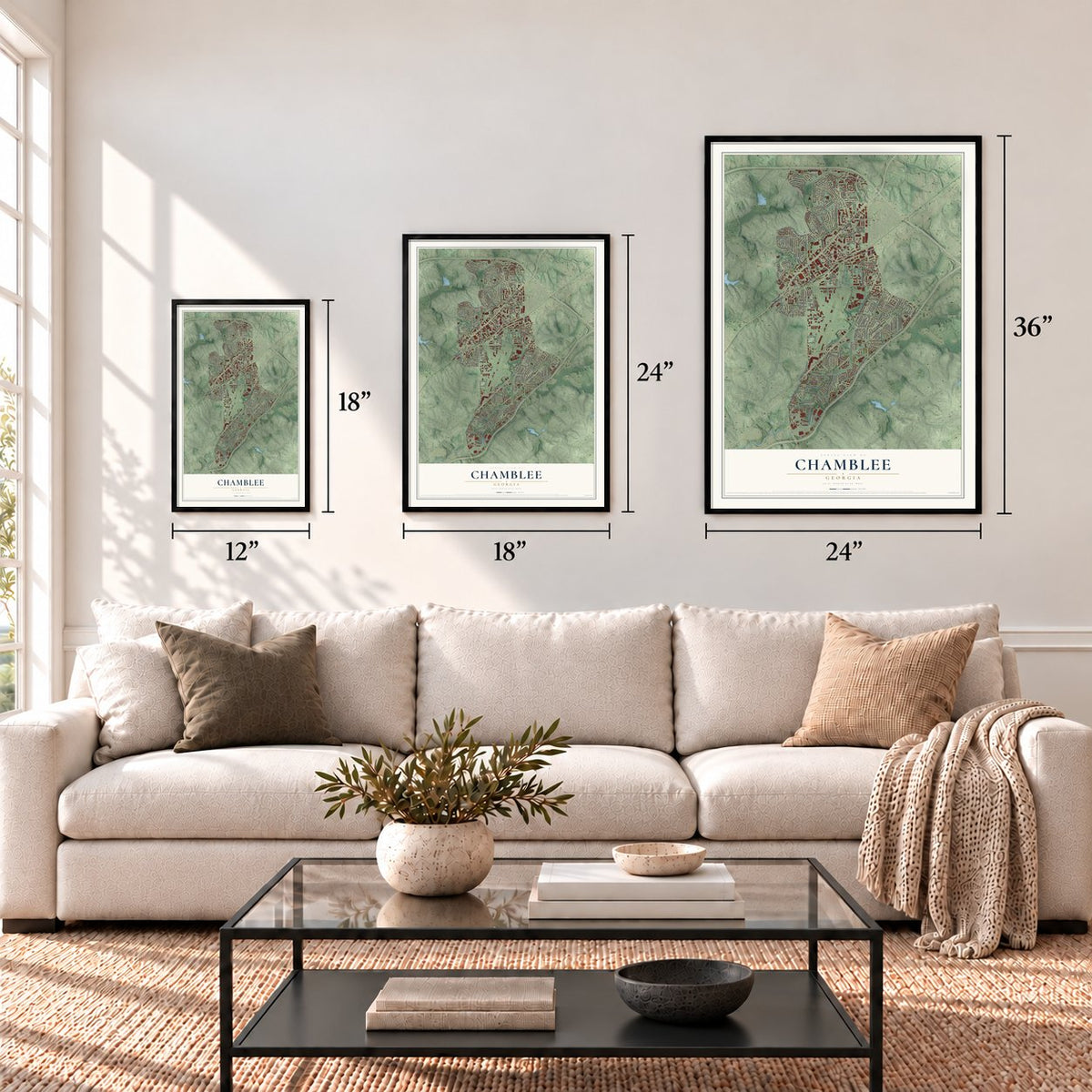
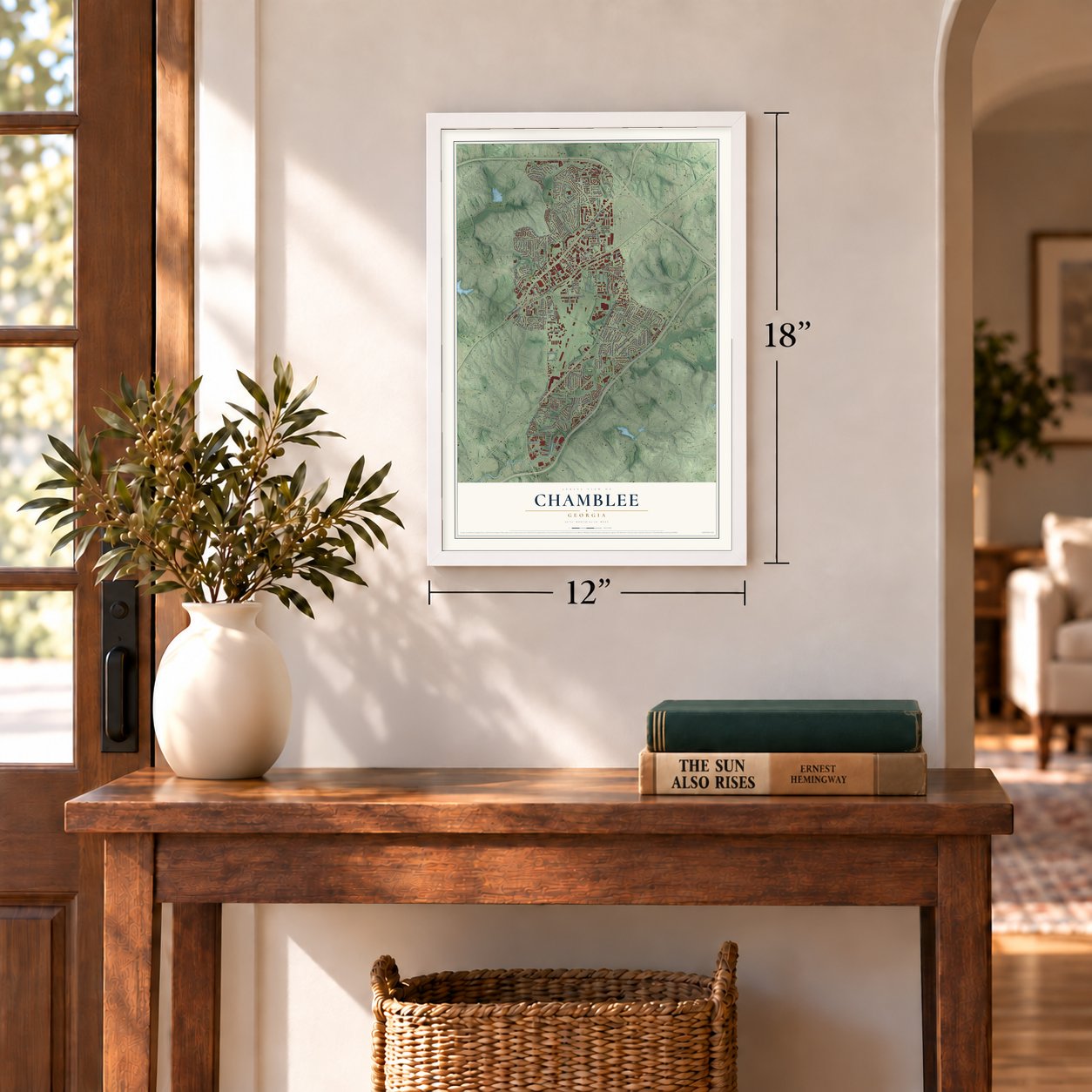
12" x 18" Archival Matte Print
A Map of Home. A Work of Art.
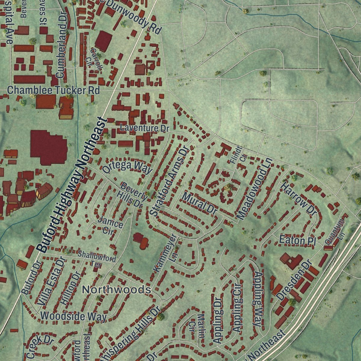
Explore Chamblee, Georgia from a whole new perspective. Created using aerial imagery and detailed geographic data, this map captures Chamblee building by building, with labeled streets, familiar landmarks, and shaded topographical relief that highlights the natural contours of the landscape.
Combining modern data with the timeless character of a vintage atlas, this map is just as interesting up close as it is beautiful on the wall. Whether you grew up in Chamblee, spent memorable years there, or call it home today, this unique map is a great way to celebrate a place that means something to you. Zoom in on the preview to look for your street, and then order a print to put your memories on the wall.
Three ways to hang it
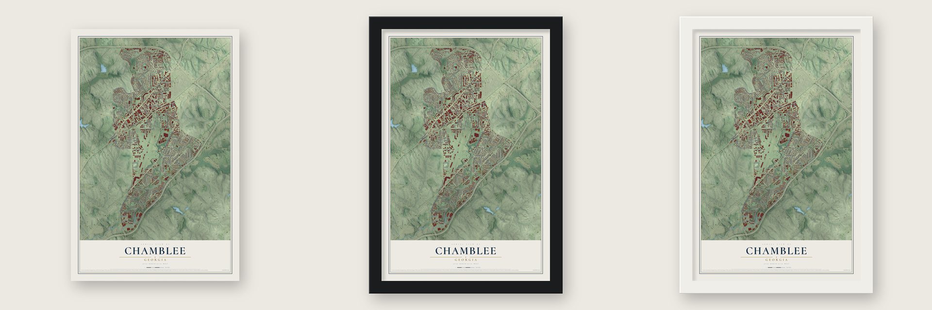
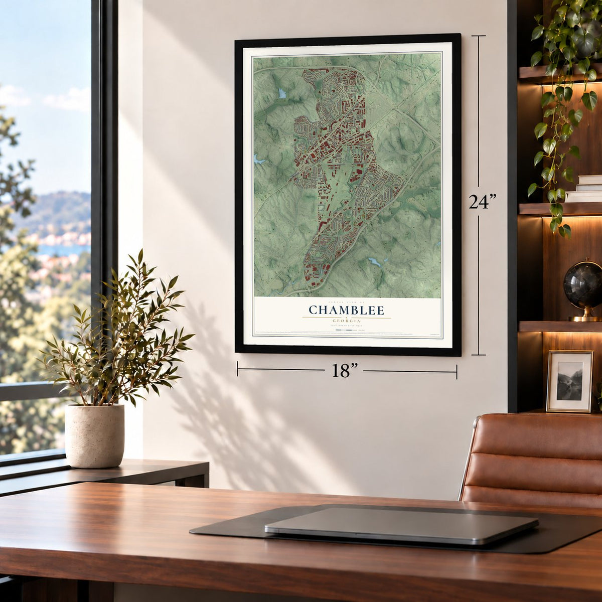
Unframed archival matte, a black wood frame or a white wood frame.
Up close
Geography Worth Displaying
This map was created using accurate cartographic data and authoritative geographic sources, including the U.S. Geological Survey (USGS) and FEMA. The map brings together terrain, waterways, roads, and building detail. The majority of the streets are labeled, houses are accurately depicted, and the topography is derived from government sources. Combining local data with carefully composed color and shading leads to this beautifully detailed Chamblee artwork for your wall.
Rather than simply showing street outlines, we’ve included as many of the street names as we could reasonably fit on the map while keeping their names legible. Zoom in on the high resolution preview to see exactly what’s on the map. We truly set out to create a statement piece for anyone who loves Chamblee. So whether it’s for you, or a gift for someone you love, we hope this map of Chamblee brings back fond memories.
Explore the full map of Chamblee, Georgia and read about the local places it shows.

About Chamblee, Georgia
Northeast of Atlanta, Chamblee lies in northern DeKalb County and counted 30,164 residents in the 2020 census. The community developed around a late nineteenth-century railroad crossing, incorporated in 1907, and later hosted military and industrial activity. By the 1996 Summer Olympics, Chamblee was described as a multicultural city with a large immigrant community.
- Railroad BeginningsTwo railroad lines crossed here in the late nineteenth century, giving rise to a settlement first known as Roswell Junction.
- Camp GordonDuring World War I, Camp Gordon housed 40,000 servicemen and later reopened as a Navy flight training center during World War II.
- Rapid ExpansionChamblee grew from roughly 9,800 residents in 2010 to more than 30,000 in 2020, largely through two annexations.
- International CorridorThe Buford Highway area includes more than 1,000 immigrant-owned businesses and is called the International Corridor by the DeKalb County Chamber of Commerce.
- Chinatown MarketThe Atlanta Chinatown market opened in Chamblee on August 8, 1988, and expanded in 1996 as new immigrants arrived from Beijing.
Find your street
Names on the Chamblee map
Every name below is printed on this map. Look for your street, your school, the park where you played, or the pond down the road.
Places and landmarks6
- Chamblee City Hall
- Huntley Hill
- Plymouth Colony
- Northwoods
- Dresden Park
- Keswick Park
Streets and roads170
- Peachtree Industrial Boulevard
- Buford Highway Northeast
- Clairmont Road Northeast
- Peachtree Road
- Century Center Drive
- Northeast Expressway
- Northeast Expressway Northeast
- Century Boulevard Northeast
- Chamblee Dunwoody Road
- Chamblee Tucker Road
- Dresden Drive
- New Peachtree Road
- North Peachtree Road
- Clairmont Road
- Admiral Drive
- Longview Drive
- North Shallowford Road
- Savoy Drive
- Keswick Drive
- Clairmont Terrace Northeast
- Johnson Road Northeast
- Harts Mill Road
- Harts Mill Road Northeast
- Plaster Road Northeast
- Sexton Woods Drive
- Plantation Lane
- Stratford Arms Drive
- Pierce Drive
- Whispering Hills Drive
- Flightway Drive
Show all 170 streets
- Eighth Street
- Commodore Drive
- West Hospital Avenue
- Ellwyn Drive
- Gainsborough Drive
- Cold Spring Lane
- Frontier Trail
- Hickory Road
- Woodside Way
- Queens Way
- Greenhill Drive
- McJenkin Drive Northeast
- Airport Road
- Hardee Avenue
- Marlin Drive
- Captain Drive
- Cumberland Drive
- Bragg Street
- Donaldson Drive
- Vanet Road
- Perimeter Park Drive
- Appling Drive
- Ensign Drive
- Meadowood Lane
- London Road
- Broad Street
- Hildon Circle
- Johnson Ferry Road
- Parson Drive
- Forrestal Drive
- Appling Way
- Pearl Lane
- Miller Drive
- Appling Circle
- Malone Drive
- Dyer Circle
- Hood Avenue
- Arrow Creek Drive
- Deacon Lane
- Harrow Drive
- Teal Road
- Catalina Drive
- Corsair Drive
- Mural Drive
- Clyde Drive
- Villa Esta Drive
- Burke Drive
- Terrell Drive
- Spring Street
- McGaw Drive
- Ortega Way
- Quinn Place
- Eaton Place
- Keswick Court
- Royal Court
- Young Road
- Park Lane
- Ham Drive
- Ann Street
- Ivy Lane
- Peachtree Road Northeast
- Shallowford Road Northeast
- Woodacres Road Northeast
- Dering Circle Northeast
- Laventure Drive
- Beverly Hills Drive
- Parkridge Crescent
- Century Parkway Northeast
- Jordan Terrace Northeast
- Shalimar Drive Northeast
- Century Place Northeast
- Chancery Lane
- Gramercy Circle
- Green Industrial Way
- Surrey Circle
- Medfield Trail Northeast
- Janice Circle
- Chamblee Dunwoody Way
- Reeves Street
- Marlin Circle
- Irvindale Way
- Hilltop Drive
- Lawson Way
- Kammeyer Lane
- John Glenn Drive
- Clemson Drive
- Clairwood Terrace
- Fortingale Road
- Jefferson Street
- Carmel Road
- Pioneer Court
- West Hardee Avenue
- Dresden Court
- Harts Mill Court
- Wallace Drive
- Talley Drive
- Blackburn Way
- Sama Circle
- Gentrys Walk
- Wingate Road
- Buford Drive
- Marlin Way
- Watkins Avenue
- Burk Terrace
- Knox Avenue
- Fifth Street
- Fourth Street
- Kristie Way
- Forrest Court
- Kaylen Drive
- Marray Drive
- Elm Street
- Vijay Drive
- North Hill Parkway
- Warwick Circle Northeast
- Seaman Circle
- Capehart Circle Northeast
- Variations Drive Northeast
- Commander Drive
- Independence Court Northeast
- Carroll Circle
- Shallowford Terrace
- Johnson Circle
- Loveland Terrace
- Dresden Way
- School Street
- Harts Run
- Beverly Drive
- Afond Court
- Quantum Lane
- Hamlin Circle
- Flindt Court
- Montford Drive
- Pearl Lane Court
- Peachtree Industrial Court
- Regency Cove Court
- Summer Rose Drive
- Longview Way
- McDaniel Street
- Hildon Road
Names are listed as they appear on the printed map. Zoom into the product photos to find them.
The art of mapping a place
How This Map Was Made
Real places. Remarkable detail. Discover the layers that turn geographic data into a map of home.

The view from above
Aerial imagery reveals the character of the land: woodland, open fields, and the patterns of a place.

The shape of the land
Elevation data brings hills, valleys, and subtle changes in the landscape into view.

The details of home
Roads, waterways, and building footprints come together to make the map feel unmistakably local.

Geography becomes art
Considered color, shading, and typography bring the layers together in a map made for your wall.


Process illustrated with Mendon, Massachusetts. Aerial imagery: USDA NAIP. Terrain: USGS 3D Elevation Program. Map details and finished artwork: KNOWOL.
The Details
About This Print
Choose an archival matte print, or a black or white Ayous wood frame. The archival matte print is unframed.
Select your size and finish above to see the matching product image and price.
Materials & Craftsmanship
A contemporary map with the character of a classic atlas, printed on archival matte paper. Optional frames are made from Ayous wood.
Your printed map does not include the watermark shown in the full-map preview.
Shipping & Delivery
Free shipping within the United States. Every print is made to order in the USA.
Buying a gift? Add a note in your cart and we'll include it. We never put prices in the package.
Prints ship within 2 to 3 business days. Allow 7 to 10 days total from ordering for delivery. Timing may vary during holidays or periods of high order volume.
Read our shipping policy.
Returns and damaged prints
Each print is made to order. Change-of-mind refunds are not available after production.
If your print arrives damaged, misprinted or incorrect, contact support@knowol.com within 30 days of receiving it. Include your order number, photos and a description of the issue.
Read our full refund and replacement policy. For questions about your order, email support@knowol.com.
Find your town
Looking for another city?
Find a map of home in our Georgia collection, or any town in the country.
Nearby
Maps of towns near Chamblee
Know someone from one of these towns? Their map makes a great gift.
 Brookhaven
, Atlanta, Georgia
From $39.99See the map
 Doraville
, Georgia
From $39.99See the map
 Ridgedale Park
, Georgia
From $39.99See the map
More maps nearby: Buckhead Heights, North Buckhead, Dunwoody, Pine Hills and North Druid Hills.