
Search for another town



Free U.S. delivery 7 to 10 days after you order
Budd Lake, New Jersey Map Art
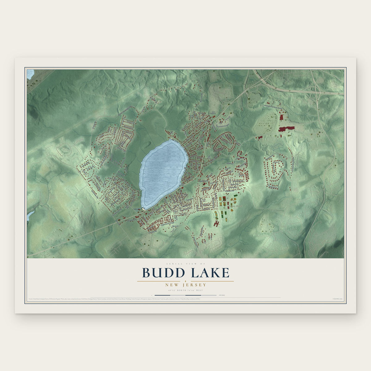
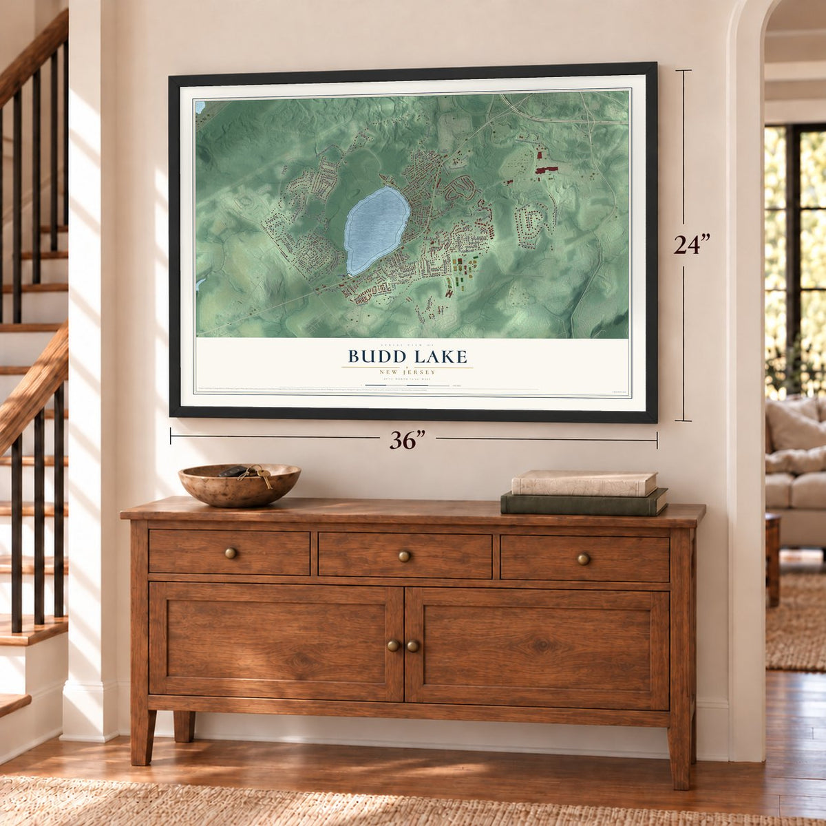
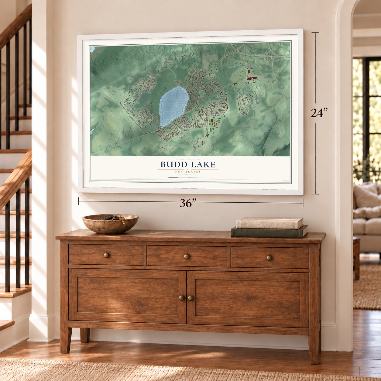
A new map of Budd Lake, New Jersey, made in 2026 and printed to order on thick archival matte paper.
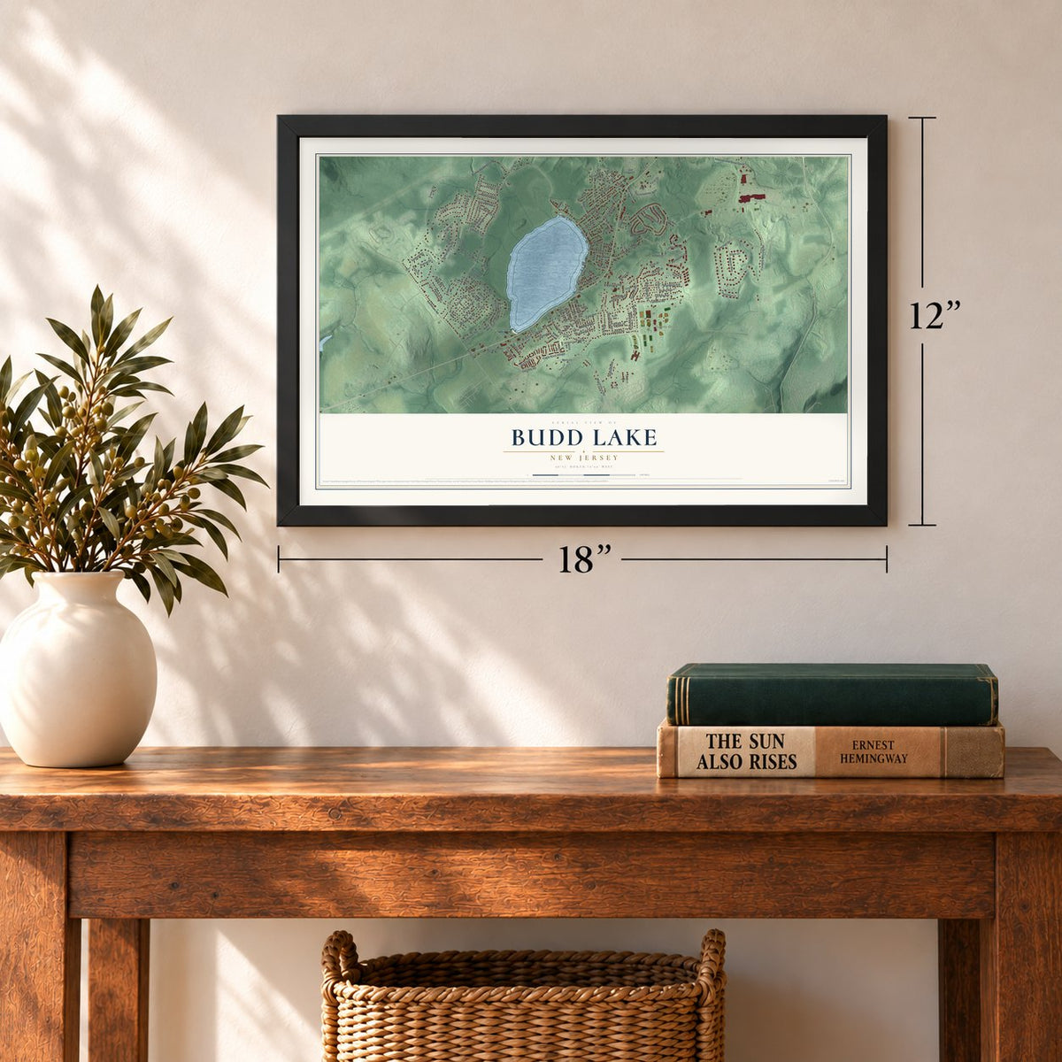
12" x 18" Archival Matte Print
A Map of Home. A Work of Art.
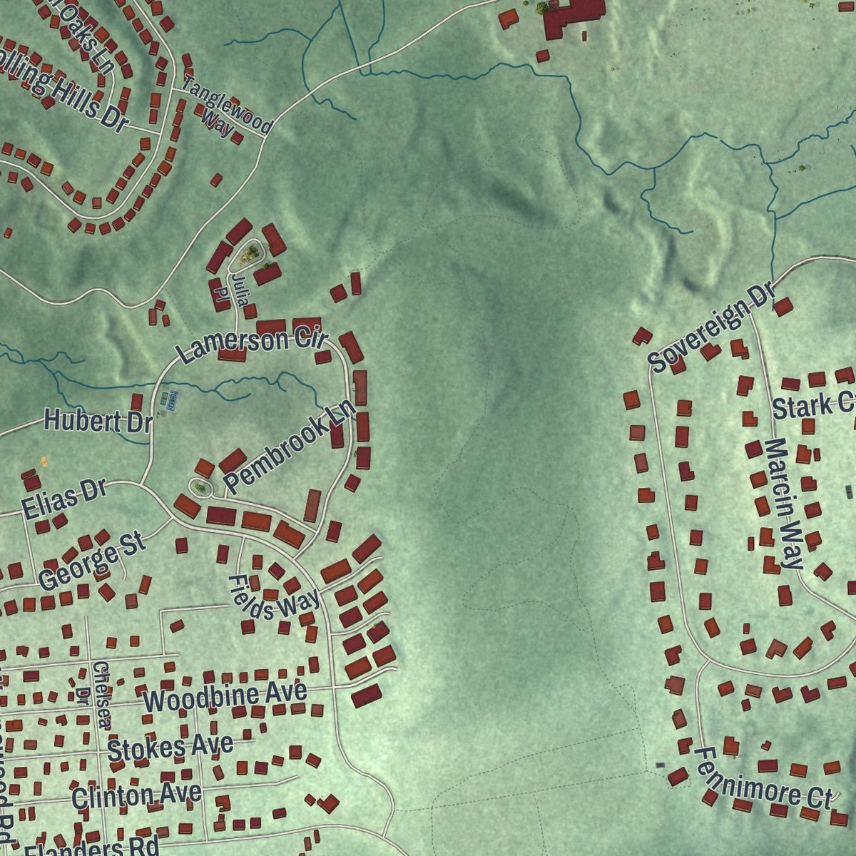
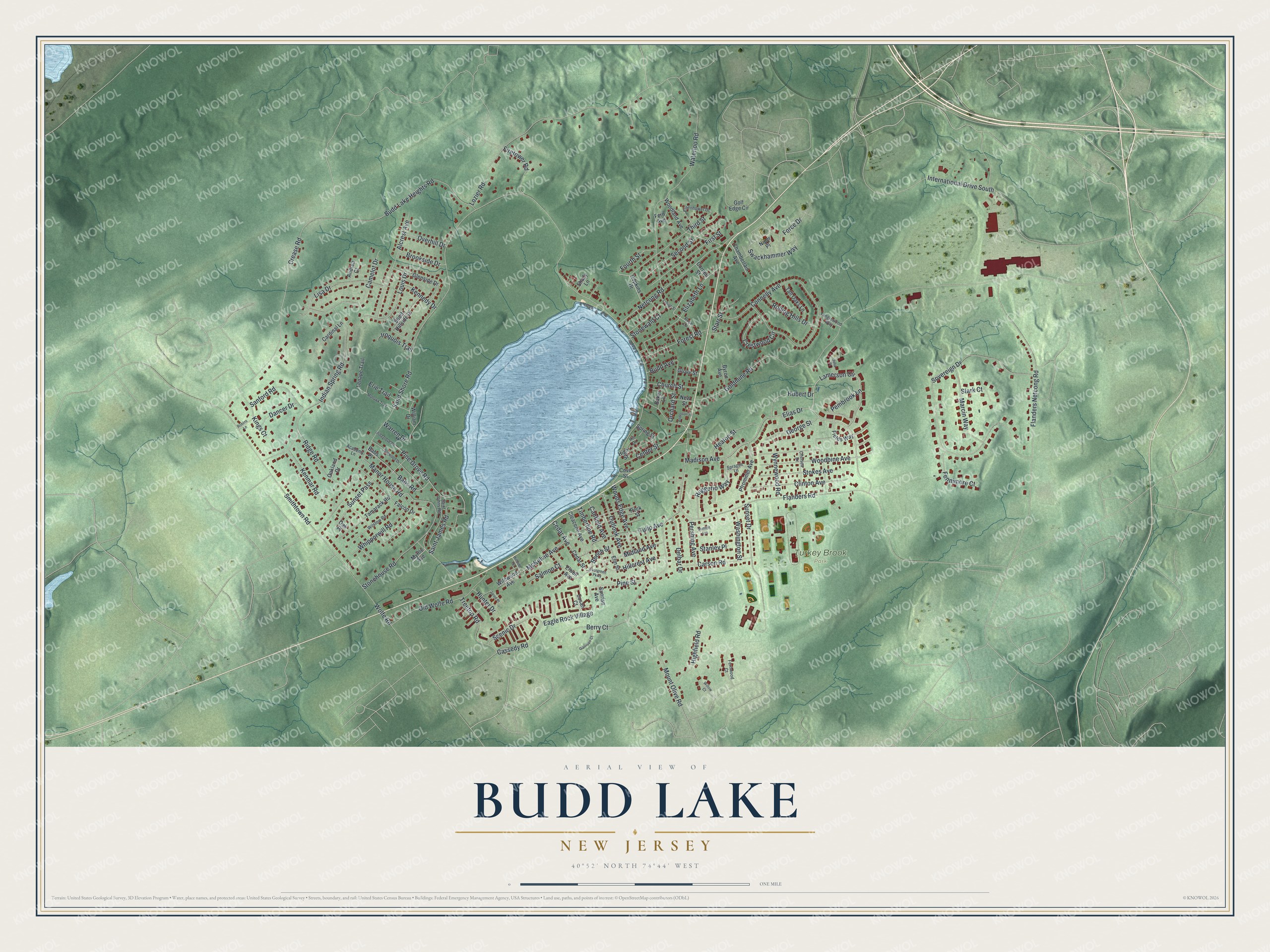
Explore Budd Lake, New Jersey from a whole new perspective. Created using aerial imagery and detailed geographic data, this map captures Budd Lake building by building, with labeled streets, familiar landmarks, and shaded topographical relief that highlights the natural contours of the landscape.
Combining modern data with the timeless character of a vintage atlas, this map is just as interesting up close as it is beautiful on the wall. Whether you grew up in Budd Lake, spent memorable years there, or call it home today, this unique map is a great way to celebrate a place that means something to you. Zoom in on the preview to look for your street, and then order a print to put your memories on the wall.
Three ways to hang it
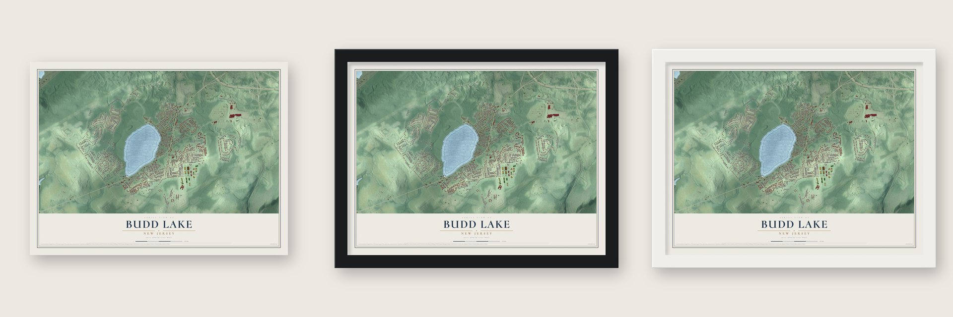
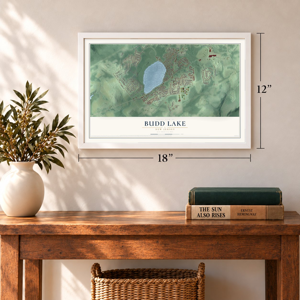
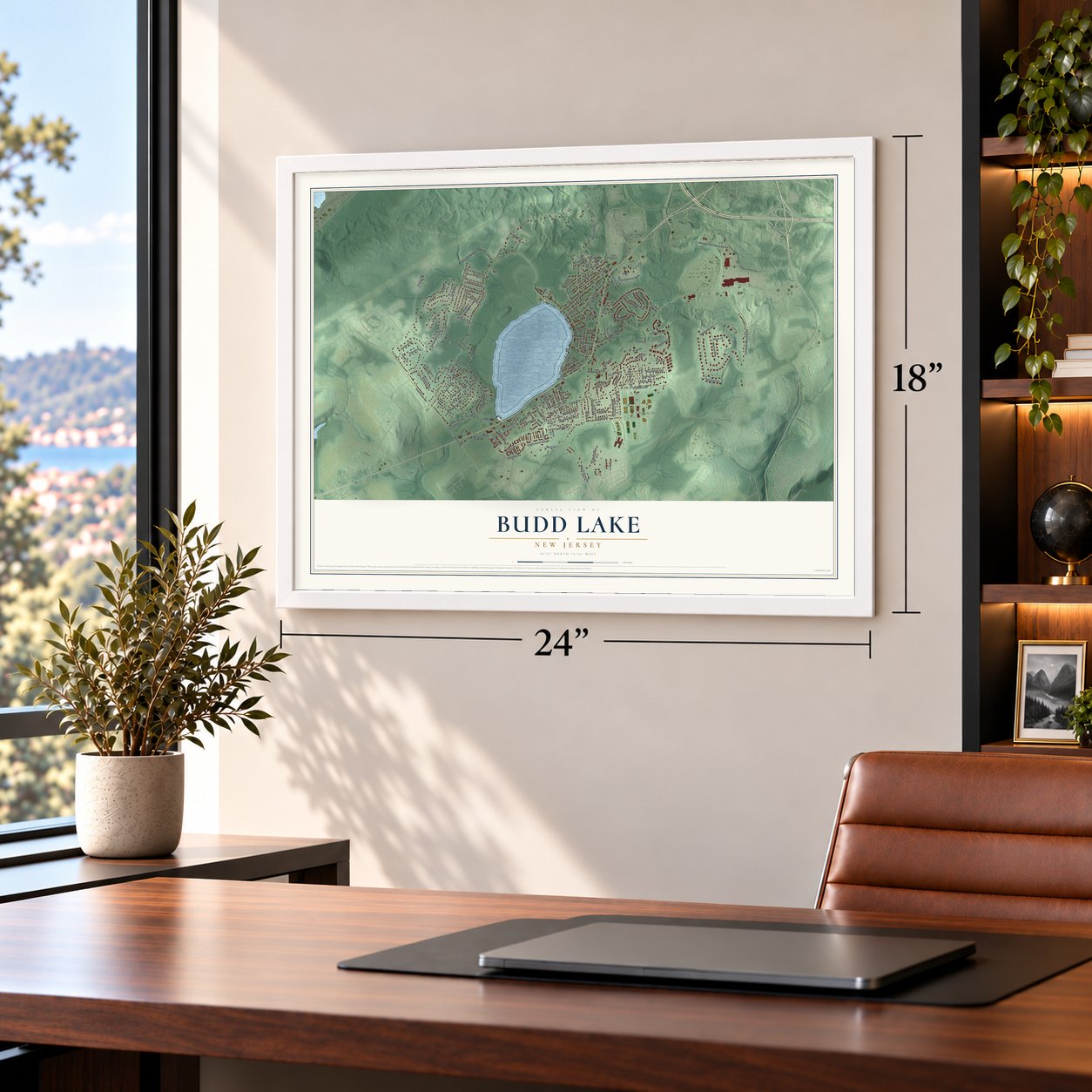
Unframed archival matte, a black wood frame or a white wood frame.
Up close
Geography Worth Displaying
This map was created using accurate cartographic data and authoritative geographic sources, including the U.S. Geological Survey (USGS) and FEMA. The map brings together terrain, waterways, roads, and building detail. The majority of the streets are labeled, houses are accurately depicted, and the topography is derived from government sources. Combining local data with carefully composed color and shading leads to this beautifully detailed Budd Lake artwork for your wall.
Rather than simply showing street outlines, we’ve included as many of the street names as we could reasonably fit on the map while keeping their names legible. Zoom in on the high resolution preview to see exactly what’s on the map. We truly set out to create a statement piece for anyone who loves Budd Lake. So whether it’s for you, or a gift for someone you love, we hope this map of Budd Lake brings back fond memories.
Explore the full map of Budd Lake, New Jersey and read about the local places it shows.

About Budd Lake, New Jersey
Budd Lake is a community of 9,784 people in Mount Olive Township, in western Morris County, and it takes its name from the glacial lake at its center. The water was first known as Hattacawanna Lake. In 1714 John Budd acquired 1,300 acres in the area, and the lake came to carry his name.
The lake lies 933 feet above sea level and spreads across 374 acres, yet it is only 7 to 12 feet deep. Wetlands feed it with seeping groundwater, and its outflow becomes the South Branch of the Raritan River, which flows down through Hunterdon County and along the western side of Somerset County. Next to the lake, black spruce and tamarack grow on a floating bog that formed as plants decayed over thousands of years.
- A township formed in 1871Mount Olive Township was split off from Roxbury Township on March 22, 1871. It honors Benjamin Olive, a Lieutenant Governor of New Jersey in colonial days who gave land for churches in the area. Budd Lake and Flanders are the two communities that make up the township.
- The Seward family's stone farmhouseIn the mid-1800s the Seward family built an Italianate farmhouse of stone, with a stone barn beside it. Henry Clay Seward lived in the house, and his father was a cousin of William Henry Seward. The Seward House and its barn joined the National Register on December 24, 2013. The house now stands at the entrance to Turkey Brook Park, and the township's historical society has taken on the job of restoring it.
- A castle on the lakeThe Pax Amicus Castle Theatre, a community theater on the shore of Budd Lake, was built in 1970 and made to look like a castle from the Middle Ages.
- Turkey Brook Park, 2003Turkey Brook Park opened on Flanders Road on July 19, 2003, next to the Chester M. Stephens Elementary School. Its 267 acres hold fields for soccer, baseball, softball and football, along with trails for walking and hiking and places to fish, and a dog park was added inside it in 2007.
Find your street
Names on the Budd Lake map
Every name below is printed on this map. Look for your street, your school, the park where you played, or the pond down the road.
Places and landmarks1
- Turkey Brook Park
Streets and roads157
- Elias Drive
- Lamerson Circle
- Timberline Road
- Pembrook Lane
- Beech Street
- Manor House Road
- Eagle Rock Village
- Sand Shore Road
- Goldmine Road
- Mount Olive Road
- Sovereign Drive
- Flanders Road
- Lozier Road
- Flanders Netcong Road
- Smithtown Road
- Connelly Avenue
- Crease Road
- Waterloo Road
- Indian Spring Road
- Budd Lake Heights Road
- Netcong Road
- International Drive South
- Sunset Drive
- Elizabeth Lane
- Madison Avenue
- Camelot Drive
- Pine Grove Road
- Old Wolfe Road
- Woodbine Avenue
- Alcrest Avenue
Show all 157 streets
- Ridge Road
- Cassedy Road
- Third Street
- Swackhammer Way
- Clinton Avenue
- Second Street
- Lisa Drive
- Woods Edge Avenue
- Tulip Avenue
- Marcin Way
- Outlook Avenue
- Ruggerio Way
- Babs Road
- Stokes Avenue
- Midland Avenue
- First Street
- Kenmar Road
- Berry Court
- Treetop Road
- Louis Drive
- Carson Road
- Stonehouse Road
- Whipporwill Road
- Cedar Avenue
- Crestwood Circle
- Hillcrest Avenue
- Force Drive
- Saint James Road
- Warren Drive
- Sanford Road
- Scenic Drive
- Highfield Road
- Sunset Pass
- Heaton Street
- Forest Road
- Rolling Hills Drive
- Firetower Road
- Fennimore Court
- George Street
- Kings Court
- Hubert Drive
- Pine Street
- Delbar Drive
- Center Street
- McKelvie Avenue
- Orchard Street
- Washington Street
- Iroquois Trail
- Wynnewood Road
- Brookside Drive
- Church Street
- Pershing Avenue
- Dancer Drive
- Starr Street
- Fourth Street
- Overhill Drive
- Budd Avenue
- Kennedy Drive
- Canfield Avenue
- Stonewald Court
- Stark Court
- Salmon Court
- Stanley Place
- Erie Trail
- Hunter Drive
- Wolfe Road
- Falcon Drive
- Woodland Avenue
- Babs Place
- Tamarack Road
- Cedar Street
- Glenside Drive
- Cleacene Avenue
- Fern Avenue
- Pfrommer Avenue
- Elwell Avenue
- Tall Oaks Lane
- Spring Street
- Hopkins Drive
- South Hillside Drive
- Susan Court
- Wildwood Avenue
- High Street
- Chamberlain Avenue
- Fields Way
- Baker Lane
- Cardinal Lane
- Golf Edge Circle
- William Drive
- Lenape Trail
- Niper Place
- Byron Avenue
- Oakland Drive
- Elm Street
- Grove Street
- New Street
- Andrea Court
- Shady Lane
- Peck Street
- Sunrise Avenue
- Cornell Street
- Myrtle Avenue
- Cove Street
- Oak Place
- Rose Lane
- Saint Johns Road
- Wilstow Road
- Chelsea Drive
- Eisenhower Drive
- Hill Drive
- Tanglewood Way
- Sprague Lane
- Academy Lane
- Fernwood Court
- Pinegrove Road
- Dogwood Drive
- Mohawk Trail
- Summit Avenue
- Evergreen Parkway
- Garrison Court
- Lehigh Street
- Anderson Place
- Robins Lane
- Hillside Terrace
- Jared Place
- Willow Court
- Julia Place
Names are listed as they appear on the printed map. Zoom into the product photos to find them.
The art of mapping a place
How This Map Was Made
Real places. Remarkable detail. Discover the layers that turn geographic data into a map of home.

The view from above
Aerial imagery reveals the character of the land: woodland, open fields, and the patterns of a place.

The shape of the land
Elevation data brings hills, valleys, and subtle changes in the landscape into view.

The details of home
Roads, waterways, and building footprints come together to make the map feel unmistakably local.

Geography becomes art
Considered color, shading, and typography bring the layers together in a map made for your wall.


Process illustrated with Mendon, Massachusetts. Aerial imagery: USDA NAIP. Terrain: USGS 3D Elevation Program. Map details and finished artwork: KNOWOL.
The Details
About This Print
Choose an archival matte print, or a black or white Ayous wood frame. The archival matte print is unframed.
Select your size and finish above to see the matching product image and price.
Materials & Craftsmanship
A contemporary map with the character of a classic atlas, printed on archival matte paper. Optional frames are made from Ayous wood.
Your printed map does not include the watermark shown in the full-map preview.
Shipping & Delivery
Free shipping within the United States. Every print is made to order in the USA.
Buying a gift? Add a note in your cart and we'll include it. We never put prices in the package.
Prints ship within 2 to 3 business days. Allow 7 to 10 days total from ordering for delivery. Timing may vary during holidays or periods of high order volume.
Read our shipping policy.
Returns and damaged prints
Each print is made to order. Change-of-mind refunds are not available after production.
If your print arrives damaged, misprinted or incorrect, contact support@knowol.com within 30 days of receiving it. Include your order number, photos and a description of the issue.
Read our full refund and replacement policy. For questions about your order, email support@knowol.com.
Find your town
Looking for another city?
Find a map of home in our New Jersey collection, or any town in the country.
Nearby
Maps of towns near Budd Lake
Know someone from one of these towns? Their map makes a great gift.
 Mount Olive
, New Jersey
From $39.99See the map
 Flanders
, New Jersey
From $39.99See the map
 Netcong
, New Jersey
From $39.99See the map
More maps nearby: Stanhope, Port Morris, Ledgewood, Byram Center and Succasunna.