
Search for another town




Free U.S. delivery 7 to 10 days after you order
Burlington, Iowa Map Art
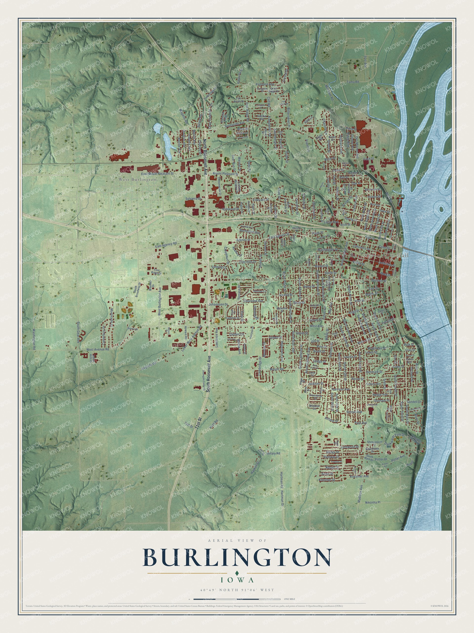
Building by building, with labeled streets and shaded relief.
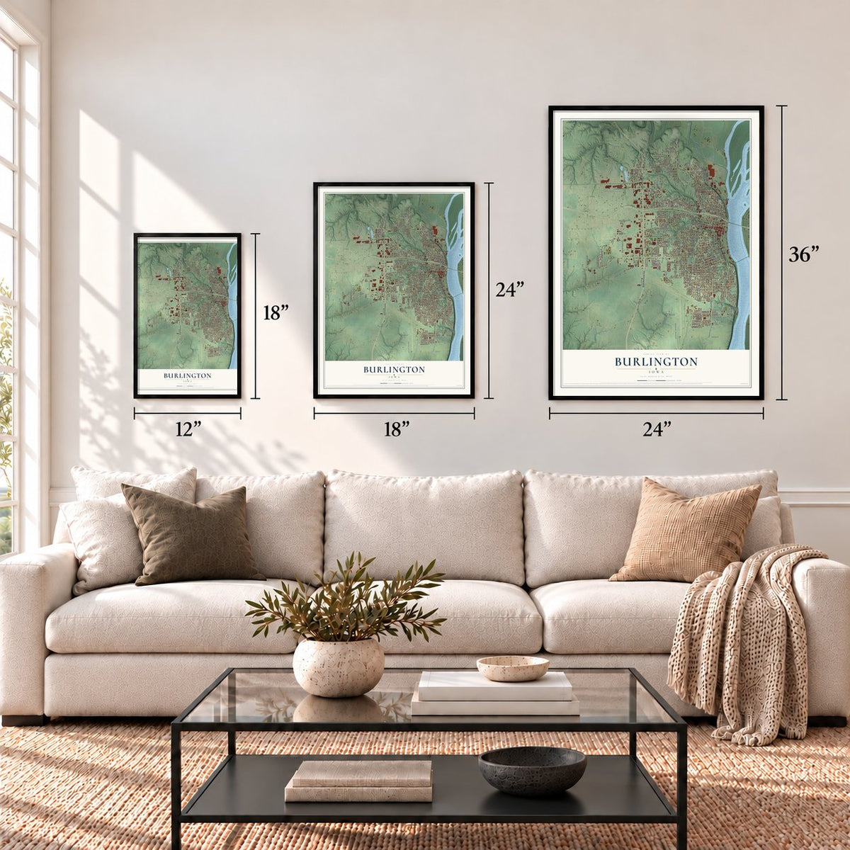
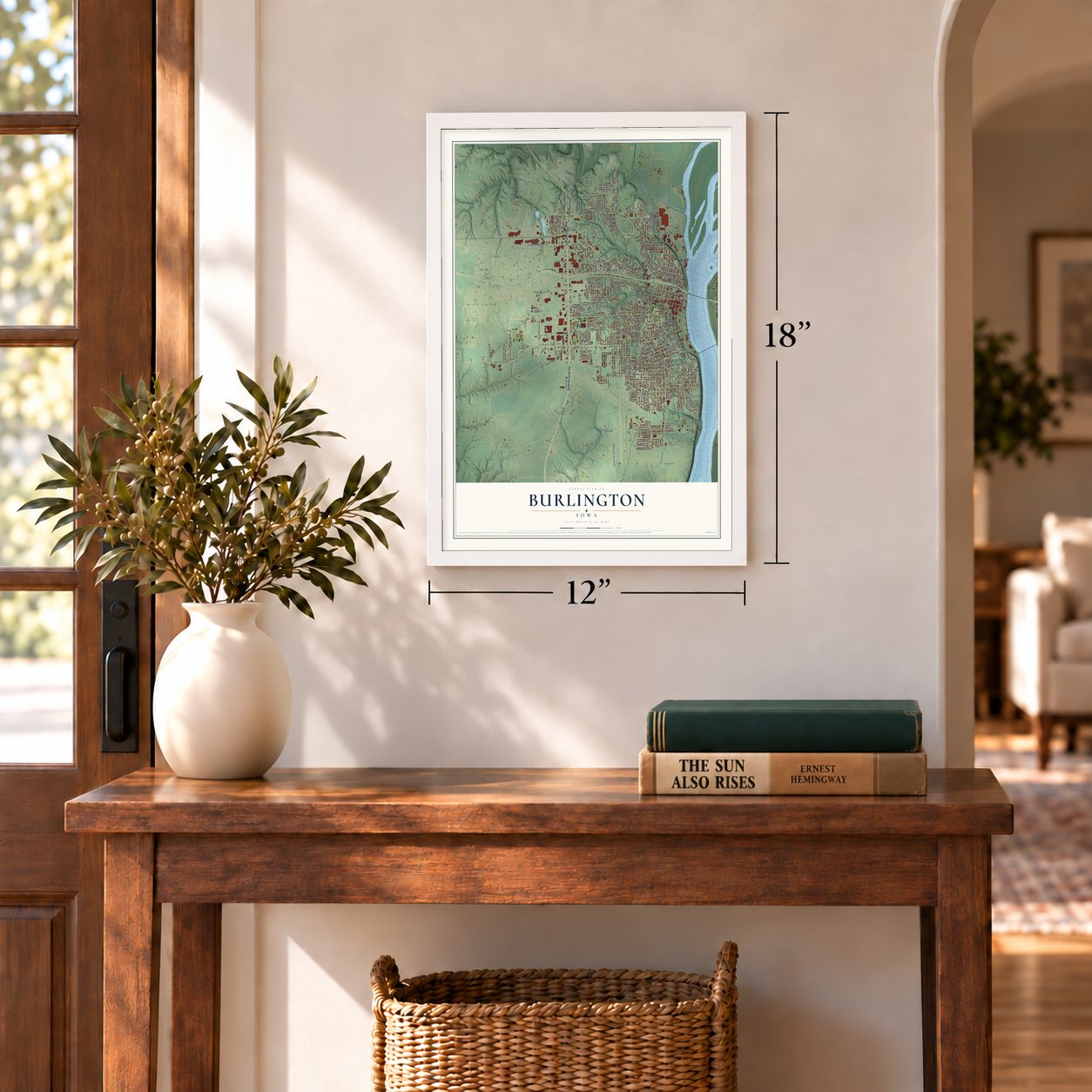
12" x 18" Archival Matte Print
A Map of Home. A Work of Art.
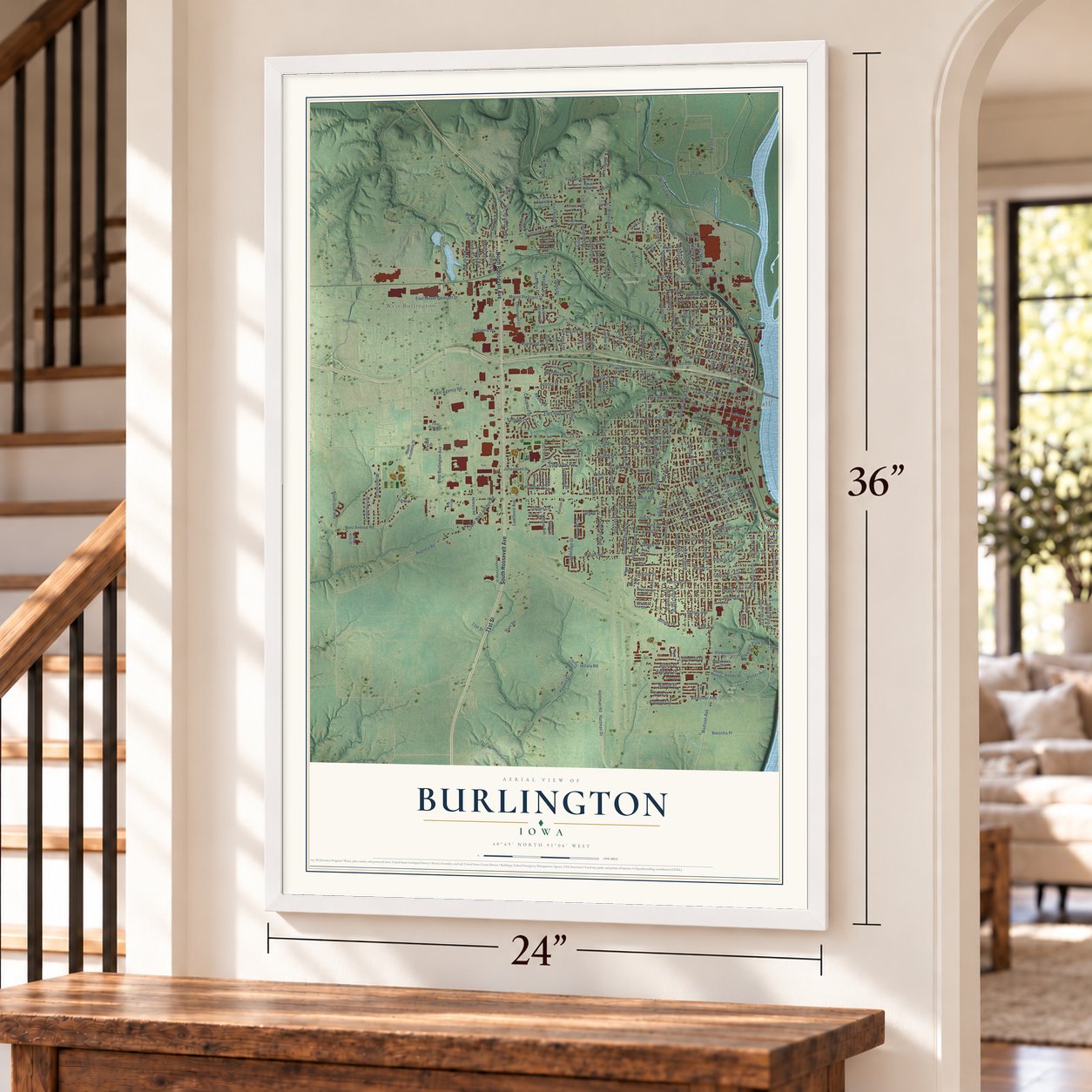
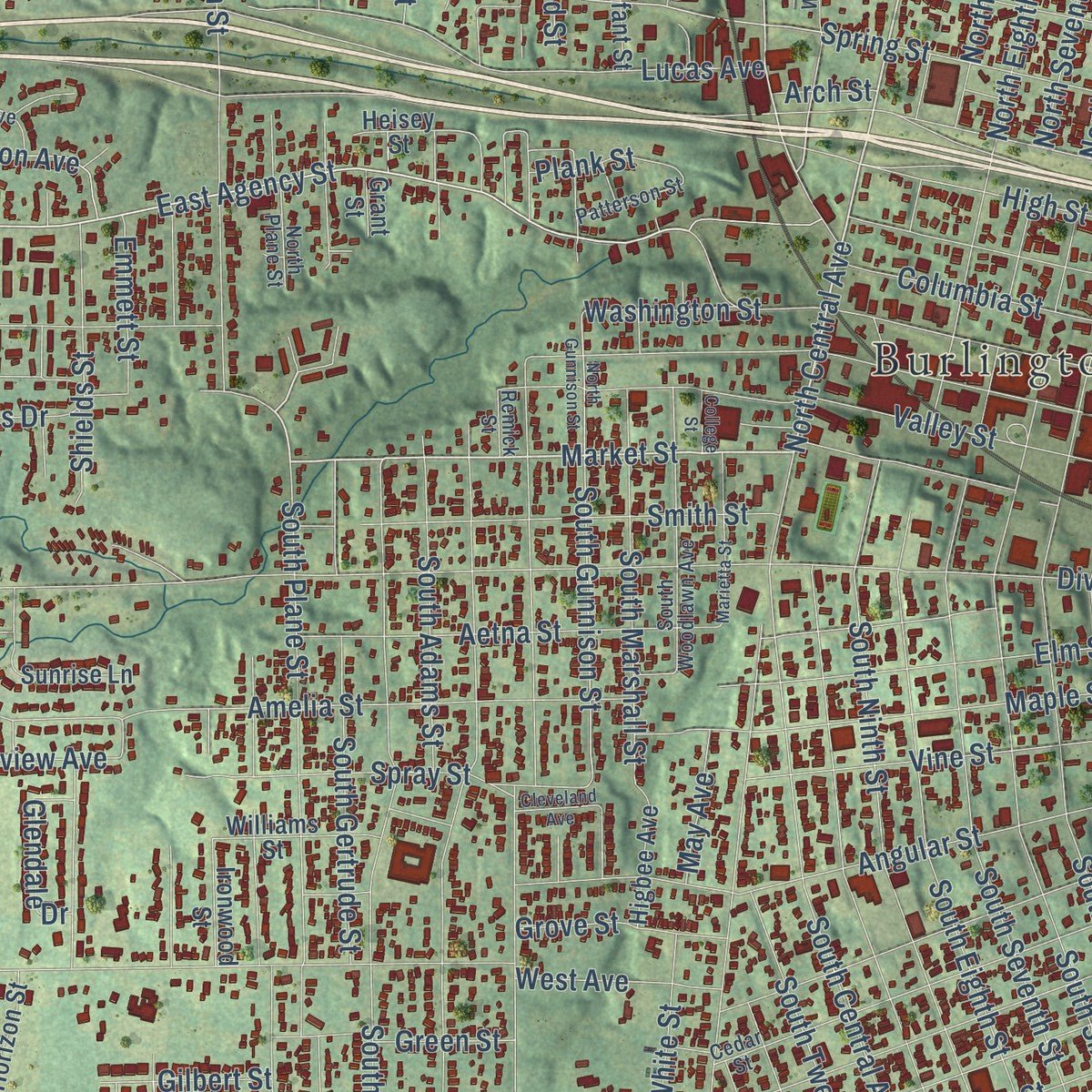
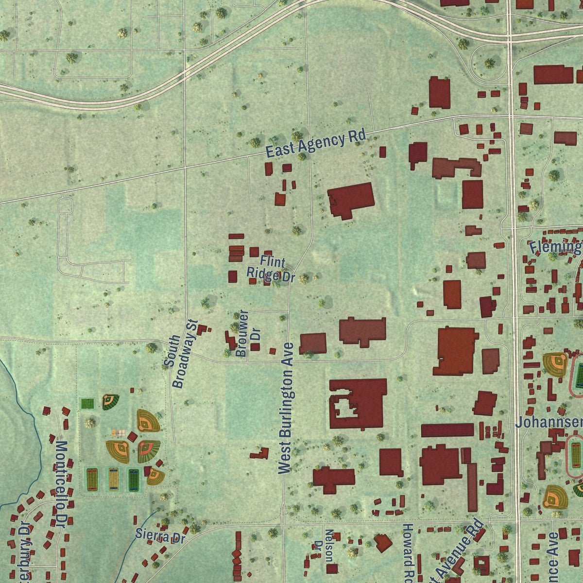
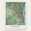
Explore Burlington, Iowa from a whole new perspective. Created using aerial imagery and detailed geographic data, this map captures Burlington building by building, with labeled streets, familiar landmarks, and shaded topographical relief that highlights the natural contours of the landscape.
Combining modern data with the timeless character of a vintage atlas, this map is just as interesting up close as it is beautiful on the wall. Whether you grew up in Burlington, spent memorable years there, or call it home today, this unique map is a great way to celebrate a place that means something to you. Zoom in on the preview to look for your street, and then order a print to put your memories on the wall.
Three ways to hang it
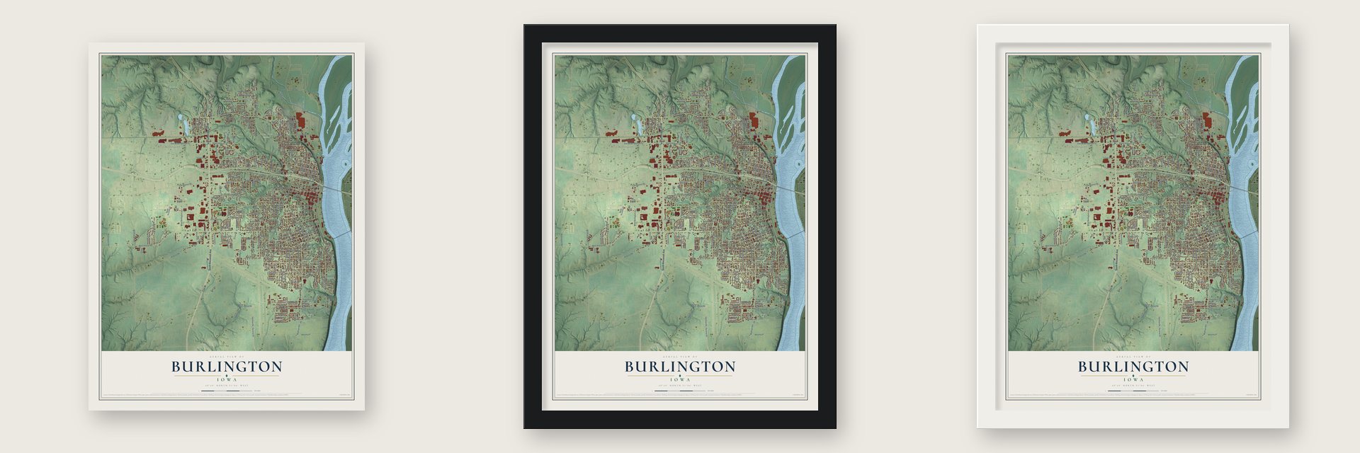
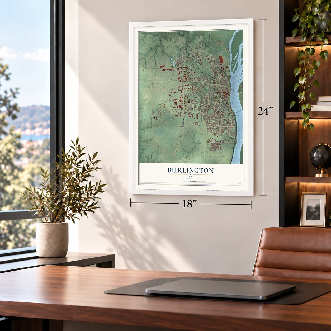
Unframed archival matte, a black wood frame or a white wood frame.
Up close
Geography Worth Displaying
This map was created using accurate cartographic data and authoritative geographic sources, including the U.S. Geological Survey and the Census Bureau. The map brings together terrain, waterways, roads, and building detail. The majority of the streets are labeled, houses are accurately depicted, and the topography is derived from government sources. Combining local data with carefully composed color and shading leads to this beautifully detailed Burlington artwork for your wall.
Rather than simply showing street outlines, we’ve included as many of the street names as we could reasonably fit on the map while keeping their names legible. Zoom in on the high resolution preview to see exactly what’s on the map. We truly set out to create a statement piece for anyone who loves Burlington. So whether it’s for you, or a gift for someone you love, we hope this map of Burlington brings back fond memories.
Read the story behind this map of Burlington, Iowa from 2026.
Find your street
Names on the Burlington map
Every name below is printed on this map. Look for your street, your school, the park where you played, or the pond down the road.
Places and landmarks4
- Burlington City Hall
- Aspen Grove Cemetery
- Crapo Park
- West Burlington
Streets and roads287
- South Roosevelt Avenue
- 71st Street
- North Roosevelt Avenue
- South Main Street
- Market Street
- North Central Avenue
- East Mount Pleasant Street
- East Agency Road
- Central Avenue
- Agency Street
- Bluff Road
- Washington Road
- Osborn Street
- Irish Ridge Road
- Sixth Street
- Dankwardt Park Drive
- Cash Street
- Potter
- Mount Pleasant Street
- Barret Street
- Dehn Street
- Pond Street
- West Burlington Avenue
- South Fifth Street
- South Gunnison Street
- West Avenue Road
- Division Street
- Summer Street
- Sunnyside Avenue
- South Central Avenue
Show all 287 streets
- East Agency Street
- Madison Avenue
- South Tenth Street
- Mason Road
- Harrison Avenue
- Valley Street
- South 14th Street
- South Leebrick Street
- South Seventh Street
- Louisa Street
- Washington Street
- South Garfield Avenue
- South Twelfth Street
- North Eighth Street
- South Eighth Street
- South Starr Avenue
- South Fourth Street
- Hedge Avenue
- Gnahn Street
- South 13th Street
- South Street
- South Third Street
- Acres Street
- Augusta Road
- Kirkwood Street
- South Sixth Street
- Jefferson Street
- Pine Street
- Koestner Avenue
- Koestner Street
- South Ninth Street
- Denmark Street
- Lucas Avenue
- Angular Street
- Hartman Drive
- Hartman Road
- Hagemann Avenue
- Aetna Street
- South Plane Street
- Amelia Street
- Des Moines Avenue
- North Seventh Street
- North Sixth Street
- Dill Street
- Mill Dam Road
- Hunt Road
- South 15th Street
- Locust Street
- North Fifth Street
- Cliff Road
- Kampmeier Road
- Parkway Drive
- North Ninth Street
- North Fourth Street
- Dunham Street
- South Gear Avenue
- Columbia Street
- Curran Street
- Maple Street
- Haskell Street
- Arch Street
- Elm Street
- Flint Hills Drive
- Spring Street
- Smith Street
- Dodge Street
- Iowa Street
- Court Street
- South Gertrude Street
- Terrace Drive
- Jackson Street
- Oak Street
- Vineyard Street
- Walnut Street
- Florence Avenue
- Spray Street
- Monticello Drive
- Vine Street
- Shields Street
- Linden Street
- Tama Road
- West Avenue
- South Marshall Street
- Cambridge Drive
- Corse Street
- River Street
- Hillary Street
- Bittersweet Place
- Lynnwood Drive
- Potter Avenue
- Potter Drive
- South Adams Street
- High Street
- Golf Lane
- Emmett Street
- Navajo Street
- Lincoln Street
- Canterbury Drive
- South 16th Street
- Burlington Avenue
- Lower West Avenue Road
- Vogt Street
- Highland Avenue
- Aspen Lane
- Willow Avenue
- Surrey Road
- Ash Street
- Lewis Street
- Racine Avenue
- Douglas Avenue
- Sioux Street
- Isabella Avenue
- Nikonha Place
- Green Street
- Melvin Avenue
- Chas Yoder Drive
- Brooks Street
- 91st Avenue
- Columbus Drive
- Orchard Street
- Charles Street
- Sunset Avenue
- Park Avenue
- Wapello Road
- Clearview Avenue
- Grove Street
- Wightman Street
- Doemland Street
- Messiah Drive
- Conner Avenue
- Bock Street
- Charette Lane
- Johannsen Drive
- Weimer Street
- Lawrence Avenue
- Baumberger Street
- Guenther Street
- Thul Street
- Glendale Drive
- Hillary Road
- Grube Street
- Deer Run Drive
- Sylvania Drive
- White Street
- Gilbert Street
- Easy Street
- Ridge Row
- Fleming Court
- Plank Street
- River Drive
- May Avenue
- Garden Circle
- Crystal Drive
- Caroline Street
- Sandell Drive
- Market
- Cook Street
- Airlane Drive
- Elm Court
- Brick Street
- Polk Street
- Clay Street
- South Main Drive
- Newbury Circle
- Sweeny Avenue
- Cottonwood Court
- North Street
- Windsor Circle
- Greenbrier Drive
- North Gertrude Street
- Gratton Street
- Orchard Meadow Drive
- South Broadway Street
- Heisey Street
- Argyle Court
- Blackhawk Drive
- Miller Street
- Ashmun Street
- Sunrise Lane
- Cascades Roadway
- Williams Street
- Birdie Street
- Hayes Street
- Brouwer Drive
- Shoquoquon Drive
- Timberidge Drive
- Cathmar Street
- Howard Road
- Ironwood Street
- Bartlett Street
- Sycamore Street
- Ridgeview Drive
- Olive Street
- Fair Acres Drive
- Herblo Drive
- Higbee Avenue
- Diamond Ridge
- Quail Ridge Drive
- Subilbe Avenue
- Griswold Street
- Horizon Street
- Chalfant Street
- Indian Hills Drive
- Page Street
- Sierra Drive
- Pilger Avenue
- Aspen Street
- Cherry Street
- Flint Ridge Drive
- Glenn Avenue
- Grant Street
- Park Place
- North Plane Street
- Cedar Street
- Spruce Street
- North Third Street
- South Woodlawn Avenue
- Stonegate Center Drive
- Remick Street
- Indian Terrace
- Herman Avenue
- Gear Street
- Wells Street
- Patterson Street
- Evergreen Drive
- Kenilworth Court
- Pawnee Drive
- Fifth Street
- Lesylvia Street
- Valley View Drive
- Grand Street
- Cindy Drive
- Nelson Drive
- Rhein Street
- North Main Street
- North Gunnison Street
- Brooks Avenue
- Whitewood Street
- Yoder Drive
- North Front Street
- Crestview Drive
- Marietta Street
- Whitaker Street
- Whittier Street
- Randall Lane
- Greenwood Drive
- Cliffwood Drive
- Lawn Avenue
- Garibaldi
- Mohawk Drive
- Cleveland Avenue
- Old Colony Road
- Short Avenue
- West Acres Drive
- Pacific Street
- Virginia Avenue
- College Street
Names are listed as they appear on the printed map. Zoom into the product photos to find them.
About Burlington, Iowa
The 2020 census recorded 23,982 residents in Burlington, an Iowa city located in Des Moines County.
“A postoffice was not established in Burlington until 1835, of which Dr. William Ross was appointed postmaster.”
- 23,982 residentsThe 2020 census recorded this population for the community.
- Des Moines CountyDes Moines County contains the Iowa city of Burlington.
Keep exploring Iowa
Burlington is one of 1,038 Iowa towns we've mapped. Every dot on the map is a print of its own.
The search covers every state, Iowa first.
Near Burlington
Order 2 or more town maps and save 10%. Shown in the size and finish you picked above, so they hang as a set.
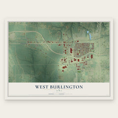
- West Burlington 12" x 18" / Archival Matte Print $39.99
- Oak Hills 12" x 18" / Archival Matte Print $39.99
- Beaverdale 12" x 18" / Archival Matte Print $39.99


More maps nearby: Middletown, Augusta, Wever, Danville and Sperry.
The art of mapping a place
How This Map Was Made
Real places. Remarkable detail. Discover the layers that turn geographic data into a map of home.

The view from above
Aerial imagery reveals the character of the land: woodland, open fields, and the patterns of a place.

The shape of the land
Elevation data brings hills, valleys, and subtle changes in the landscape into view.

The details of home
Roads, waterways, and building footprints come together to make the map feel unmistakably local.

Geography becomes art
Considered color, shading, and typography bring the layers together in a map made for your wall.


Process illustrated with Mendon, Massachusetts. Aerial imagery: USDA NAIP. Terrain: USGS 3D Elevation Program. Map details and finished artwork: KNOWOL.
The Details
About This Print
Choose an archival matte print, or a black or white Ayous wood frame. The archival matte print is unframed.
Select your size and finish above to see the matching product image and price.
Materials & Craftsmanship
A contemporary map with the character of a classic atlas, printed on archival matte paper. Optional frames are made from Ayous wood.
Your printed map does not include the watermark shown in the full-map preview.
Shipping & Delivery
Free shipping within the United States. Every print is made to order in the USA.
Buying a gift? Add a note in your cart and we'll include it. We never put prices in the package.
Prints ship within 2 to 3 business days. Allow 7 to 10 days total from ordering for delivery. Timing may vary during holidays or periods of high order volume.
Read our shipping policy.
Returns and damaged prints
Each print is made to order. Change-of-mind refunds are not available after production.
If your print arrives damaged, misprinted or incorrect, contact support@knowol.com within 30 days of receiving it. Include your order number, photos and a description of the issue.
Read our full refund and replacement policy. For questions about your order, email support@knowol.com.