
Search for another town





Free U.S. delivery 7 to 10 days after you order
Burlington, Washington Map Art
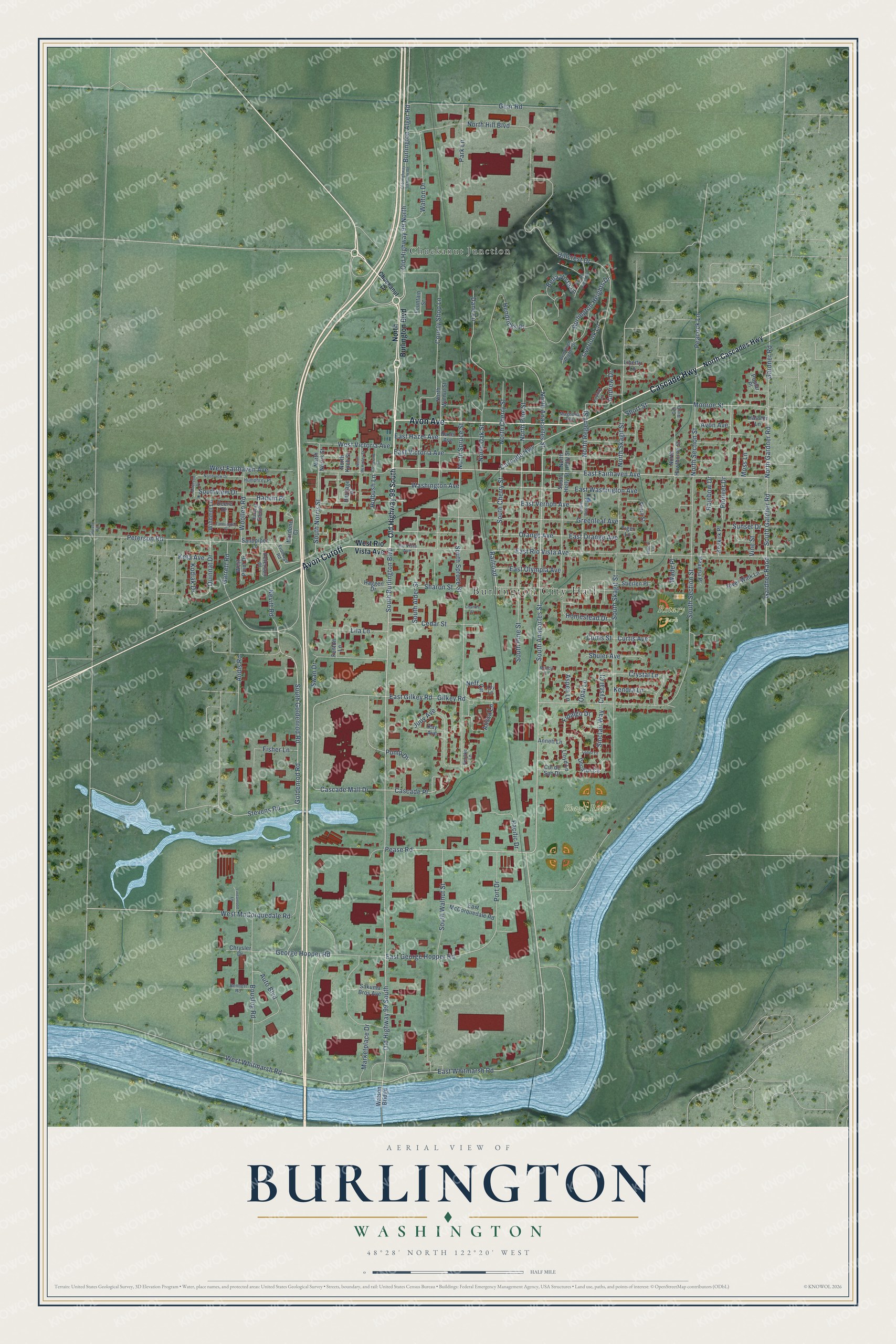
A new map of Burlington, Washington, made in 2026 and printed to order on thick archival matte paper.
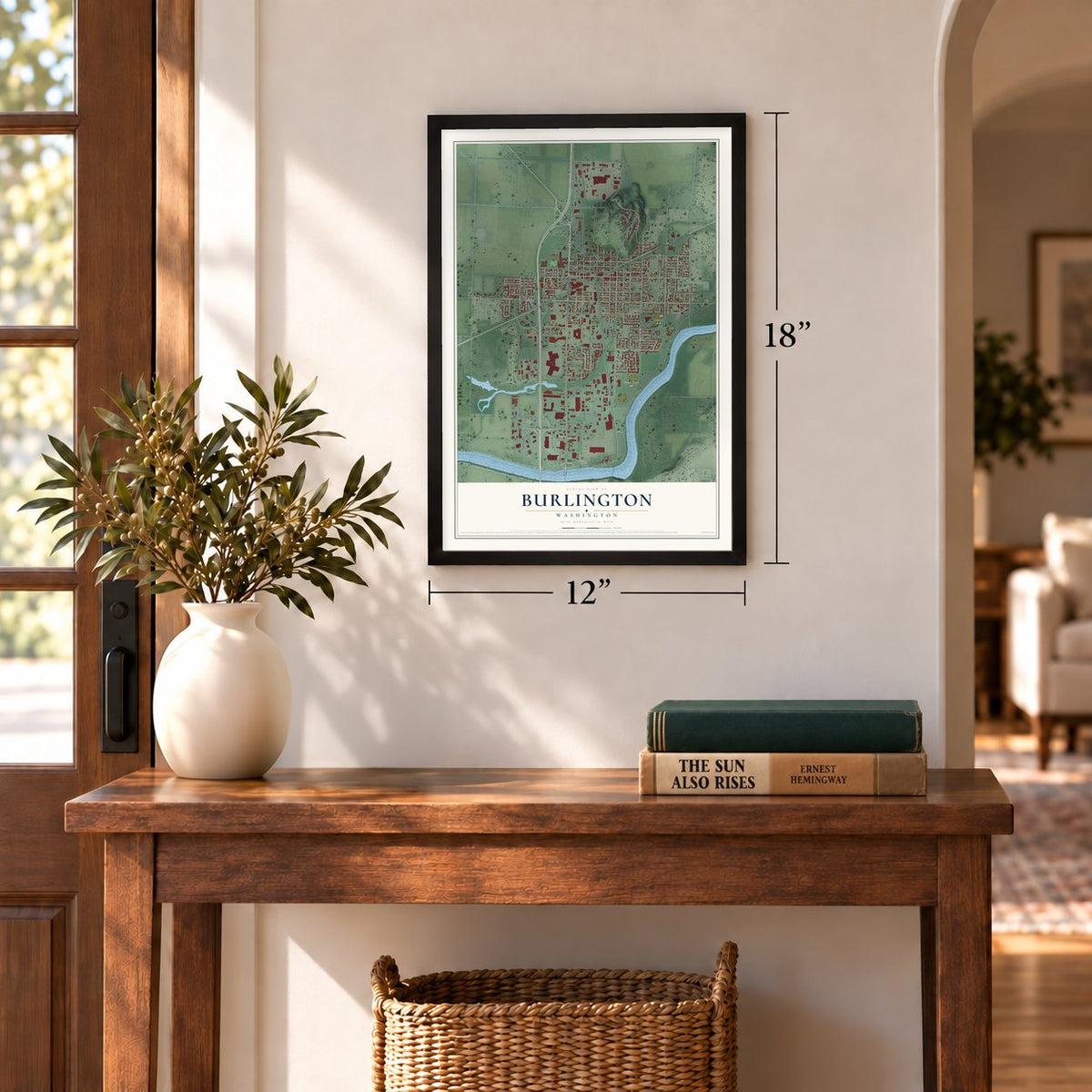
12" x 18" Archival Matte Print
A Map of Home. A Work of Art.
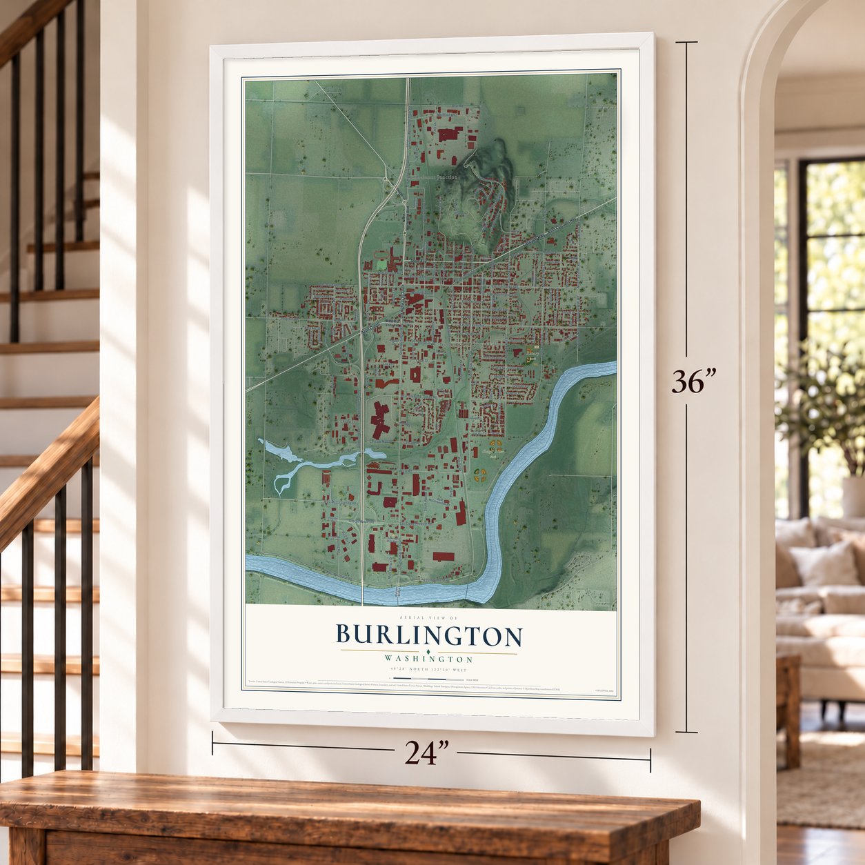
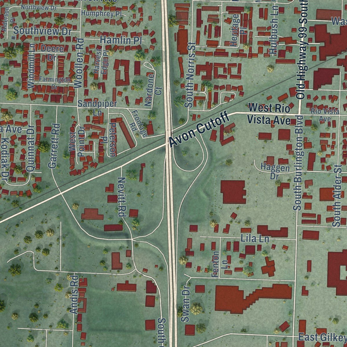
Explore Burlington, Washington from a whole new perspective. Created using aerial imagery and detailed geographic data, this map captures Burlington building by building, with labeled streets, familiar landmarks, and shaded topographical relief that highlights the natural contours of the landscape.
Combining modern data with the timeless character of a vintage atlas, this map is just as interesting up close as it is beautiful on the wall. Whether you grew up in Burlington, spent memorable years there, or call it home today, this unique map is a great way to celebrate a place that means something to you. Zoom in on the preview to look for your street, and then order a print to put your memories on the wall.
Three ways to hang it
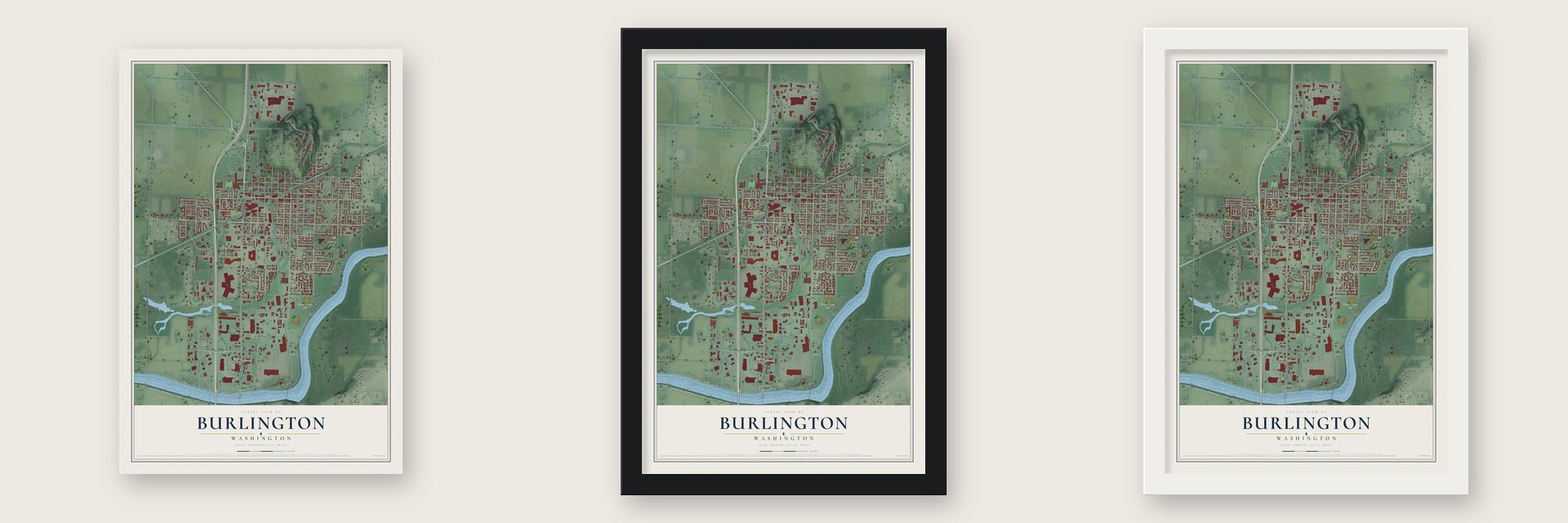
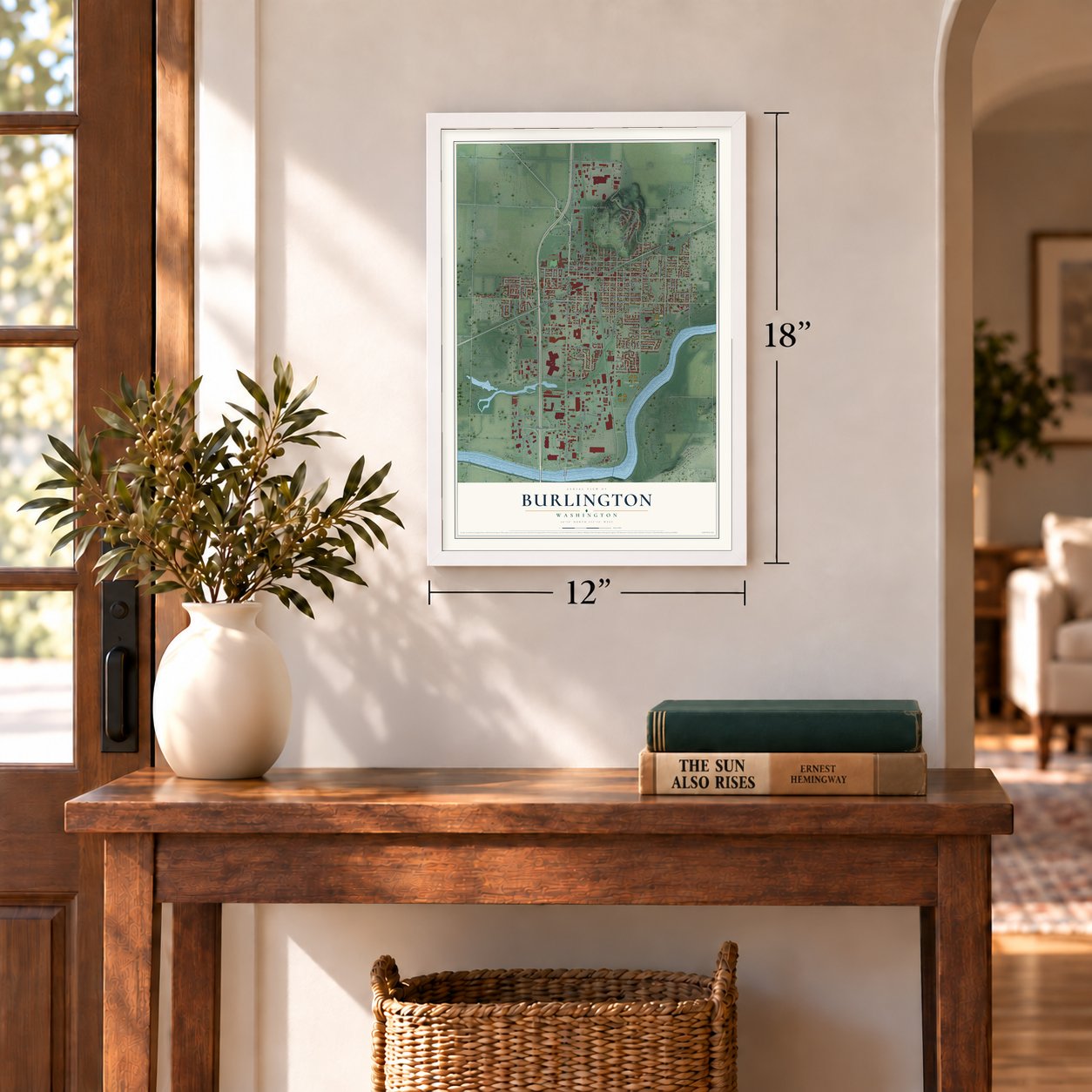
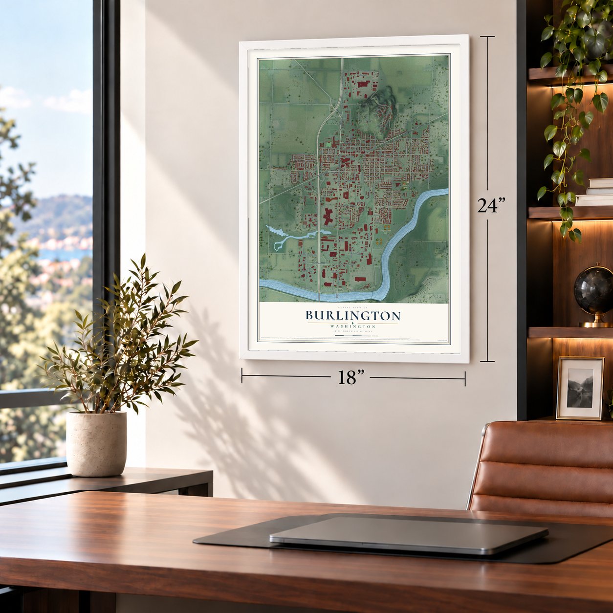
Unframed archival matte, a black wood frame or a white wood frame.
Up close
Geography Worth Displaying
This map was created using accurate cartographic data and authoritative geographic sources, including the U.S. Geological Survey and the Census Bureau. The map brings together terrain, waterways, roads, and building detail. The majority of the streets are labeled, houses are accurately depicted, and the topography is derived from government sources. Combining local data with carefully composed color and shading leads to this beautifully detailed Burlington artwork for your wall.
Rather than simply showing street outlines, we’ve included as many of the street names as we could reasonably fit on the map while keeping their names legible. Zoom in on the high resolution preview to see exactly what’s on the map. We truly set out to create a statement piece for anyone who loves Burlington. So whether it’s for you, or a gift for someone you love, we hope this map of Burlington brings back fond memories.
Read the story behind this map of Burlington, Washington from 2026.

About Burlington, Washington
Burlington is a city of 9,152 people in Skagit County, just north of the county seat at Mount Vernon. In the fall of 1882, two loggers named John P. Millett and William McKay put up a shack in a forest of cedar and spruce north of the Skagit River and opened a logging camp. Millett's shack was the first home on the ground where the city stands, and his family lived in it until late in the 1880s.
In 1890 the Great Northern Railway laid a north-south line and the Seattle & Northern Railway an east-west one. Their crossing gave it the nickname "the Hub City." Settler T. W. Soule named it for his hometown, Burlington, Vermont, and McKay filed the plat on January 1, 1891. That year brought a Methodist church, a post office with Tom Wilson as postmaster and a grade school taught by Clara Garl. Burlington lost a county seat fight with Mount Vernon in 1892, and an 1896 vote to incorporate failed. A later try succeeded on June 16, 1902, making it a fourth-class town with the 300 people the law required, and eight years later it had 1,302.
“many rudely constructed bunkhouses of cedar shake ... clustered around a large long building known as the cook-house”
- Strawberry Festival since 1934By the 1930s strawberry fields were in full bloom around Burlington, and in 1934 the town began a Strawberry Festival, usually held in June. Its 1938 main event was billed as the world's biggest shortcake parade, using 80 sheets of shortcake. A year later, more than 6,000 people shared a giant sundae holding half a ton of strawberries and 200 gallons of ice cream. Now called Berry Dairy Days, it still brings a June parade down Fairhaven Avenue.
- The Trolley That Went to SeaIn 1912 the Bellingham and Skagit Interurban Railway reached Burlington. Its electric cars ran between Mount Vernon and Bellingham, crossing a four-mile trestle over the water off Samish Bay, and a branch ran five miles east to Sedro-Woolley. Better roads, cars and buses made the trolley obsolete in the 1920s. Passenger service stopped in 1928 and freight two years later, and part of the old route is now the Interurban Trail.
- A Carnegie library in 1916Burlington opened a library reading room in 1911, stocked with books from the state circulating library and from local residents. In 1916 the town built a real library with money from Andrew Carnegie at 901 East Fairhaven, and it served as the city library until 1979. The Burlington Carnegie Library joined the National Register in 1982 and has been used by the city in other ways since.
- Three shingle mills in 1906A description of the busy young town in 1906 counted three shingle mills, three hotels and two lodging houses. Shoppers could choose among general stores, a drug store and a bicycle shop, keep money in a new bank and hire a lawyer. The Journal, the local paper, had been printing for seven years, and residents were proud of the opera hall that opened in 1905. Plans were underway to pave some main streets with crushed stone.
- The cross on Burlington HillBurlington Hill rises 450 feet north of downtown and is the highest point in the city. In the 1940s the fire department put a cross on top and lit it for holidays. A bigger cross that stays lit all the time replaced it in 1965, and it was renovated in 2016.
Find your street
Names on the Burlington map
Every name below is printed on this map. Look for your street, your school, the park where you played, or the pond down the road.
Places and landmarks4
- Burlington City Hall
- Skagit River Park
- Rotary Park
- Chuckanut Junction
Streets and roads176
- Cascade Highway
- Avon Avenue
- Avon Cutoff
- South Burlington Boulevard
- East Whitmarsh Road
- East Fairhaven Avenue
- Pease Road
- South Anacortes Street
- West Whitmarsh Road
- North Gardner Road
- North Anacortes Street
- Cascade Mall Drive
- South Cherry Street
- Railroad
- Cascade Place
- South Goldenrod Road
- Monroe Street
- Stevens Road
- South Norris Street
- North Section Street
- South Skagit Street
- East George Hopper Road
- North Regent Street
- Old Highway 99 South
- West McCorquedale Road
- Sinclair Way
- East Rio Vista Avenue
- South Walnut Street
- South Spruce Street
- Hillcrest Drive
Show all 176 streets
- East Hazel Avenue
- South Section Street
- East Victoria Avenue
- Hendricks Place
- Burlington Alger Road
- Old Highway 99 North
- East Gilkey Road
- East Orange Avenue
- County Shop Lane
- Peterson Road
- North Hill Boulevard
- South Pine Street
- Gilkey Road
- Greenleaf Avenue
- Gardner Road
- Bouslog Road
- Marketplace Drive
- West Fairhaven Avenue
- Andis Road
- Gear Road
- Goldenrod Road
- East Washington Avenue
- George Hopper Road
- Gardner Raod
- South Gardner Road
- Washington Avenue
- East Vernon Avenue
- South Alder Street
- North Skagit Street
- Walton Drive
- North Oak Street
- Cedar Street
- Dane Lane
- West Victoria Avenue
- North Cherry Street
- North Pine Street
- Orange Avenue
- Alissa Lane
- Auto Boulevard
- Crystal Lane
- Port Drive
- Fidalgo Drive
- Burlington Heights Drive
- Woollen Road
- Park Lane
- Sharon Street
- East Olympia Avenue
- Homestead Drive
- Curtis Avenue
- Curtis Street
- Lila Lane
- North Spruce Street
- Pacific Drive
- Shuler Avenue
- Garrett Road
- Neff Circle
- Kodiak Drive
- Bella Vista Lane
- Peacock Lane
- Sunset Drive
- Nevitt Road
- Southview Drive
- Overlook Lane
- Quinnat Drive
- Kendra Lane
- Fisher Lane
- Hamlin Place
- Pioneer Drive
- Aspen Lane
- Crystal Court
- Wade Place
- Rainbow Drive
- Hulbush Lane
- Keta Avenue
- Andrew Drive
- Judy Avenue
- Swan Drive
- Pump Drive
- Short Street
- Opal Lane
- Vine Street
- Moss Lane
- North Burlington Boulevard
- West Rio Vista Avenue
- North Cascades Highway
- Decatur Circle
- Heritage Place
- Sandpiper Lane
- Cul de Sac Drive
- South Holly Street
- Hazel Avenue
- North Walnut Street
- Peterson Place
- East McCorquedale Road
- River Walk Lane
- Nardone Court
- Fountain Street
- Sakuma Bros Avenue
- North Hawthorne Street
- Stierlen Place
- Haggen Drive
- Windmill Lane
- Kenkirk Place
- Reanna Place
- Poplar Place
- North Koch Street
- Kay Avenue
- West Point Drive
- North Norris Street
- Annett Lane
- North Holly Street
- Chrysler Drive
- Watson Bridge
- Lloyd Lane
- Ferry Street
- Deere Drive
- Fenton Lane
- Hassler Lane
- Liberty Lane
- Tiger Lane
- Chuckanut Drive
- Rio Vista Avenue
- Frontage Road
- Magnolia Avenue
- Humphrey Place
- Fenske Lane
- Bendtsen Heights Drive
- Harvest Edge Place
- Lupine Lane
- Bennett Road
- Del Rio Drive
- Lily Lane
- Old Highway 99 North Road
- South Regent Street
- Northview Drive
- Tinas Coma Drive
- Farmington Drive
- North McKinley Street
- Cleveland Street
- Lindamood Lane
- Alderson Place
- Lopez Lane
- Charles Street
- Miracle Lane
- Filbert Lane
- Pulver Road
Names are listed as they appear on the printed map. Zoom into the product photos to find them.
The art of mapping a place
How This Map Was Made
Real places. Remarkable detail. Discover the layers that turn geographic data into a map of home.

The view from above
Aerial imagery reveals the character of the land: woodland, open fields, and the patterns of a place.

The shape of the land
Elevation data brings hills, valleys, and subtle changes in the landscape into view.

The details of home
Roads, waterways, and building footprints come together to make the map feel unmistakably local.

Geography becomes art
Considered color, shading, and typography bring the layers together in a map made for your wall.


Process illustrated with Mendon, Massachusetts. Aerial imagery: USDA NAIP. Terrain: USGS 3D Elevation Program. Map details and finished artwork: KNOWOL.
The Details
About This Print
Choose an archival matte print, or a black or white Ayous wood frame. The archival matte print is unframed.
Select your size and finish above to see the matching product image and price.
Materials & Craftsmanship
A contemporary map with the character of a classic atlas, printed on archival matte paper. Optional frames are made from Ayous wood.
Your printed map does not include the watermark shown in the full-map preview.
Shipping & Delivery
Free shipping within the United States. Every print is made to order in the USA.
Buying a gift? Add a note in your cart and we'll include it. We never put prices in the package.
Prints ship within 2 to 3 business days. Allow 7 to 10 days total from ordering for delivery. Timing may vary during holidays or periods of high order volume.
Read our shipping policy.
Returns and damaged prints
Each print is made to order. Change-of-mind refunds are not available after production.
If your print arrives damaged, misprinted or incorrect, contact support@knowol.com within 30 days of receiving it. Include your order number, photos and a description of the issue.
Read our full refund and replacement policy. For questions about your order, email support@knowol.com.
Find your town
Looking for another city?
Find a map of home in our Washington collection, or any town in the country.
Nearby
Maps of towns near Burlington
Know someone from one of these towns? Their map makes a great gift.
 Mount Vernon
, Washington
From $39.99See the map
 Clear Lake
, Skagit County, Washington
From $39.99See the map
 Sedro-Woolley
, Washington
From $39.99See the map
More maps nearby: Big Lake, Bay View, Bow, Edison and Conway.