
Search for another town

Free U.S. delivery 7 to 10 days after you order
Butler Township, Butler County, Pennsylvania Map Art
Building by building, with labeled streets and shaded relief.
12" x 18" Archival Matte Print
A Map of Home. A Work of Art.
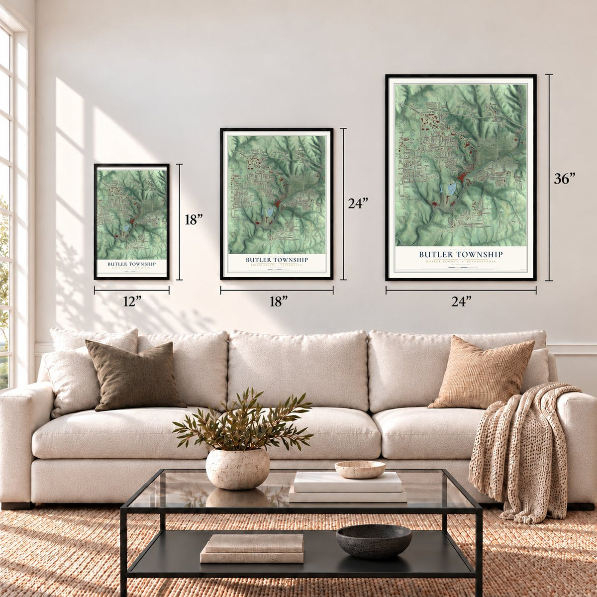
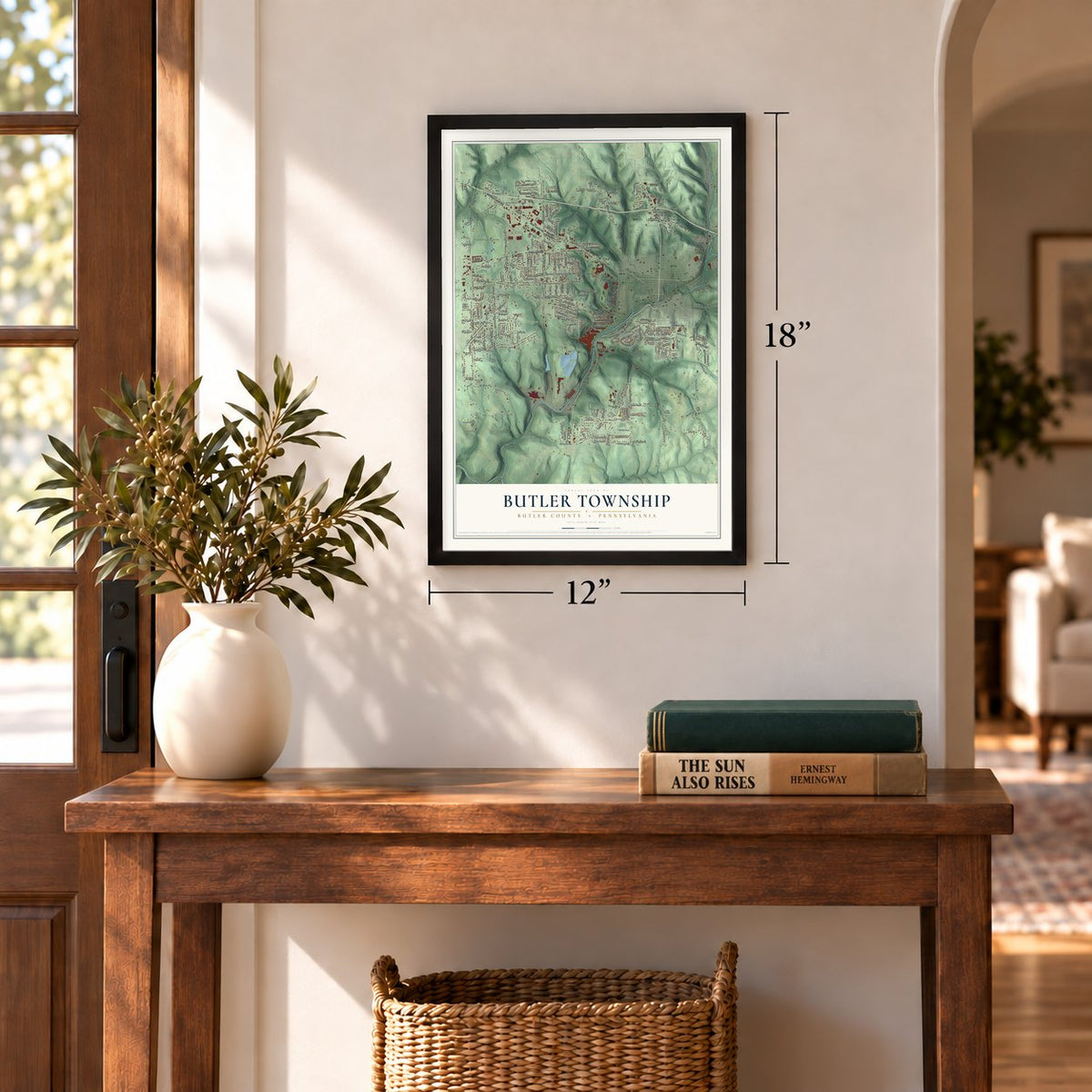
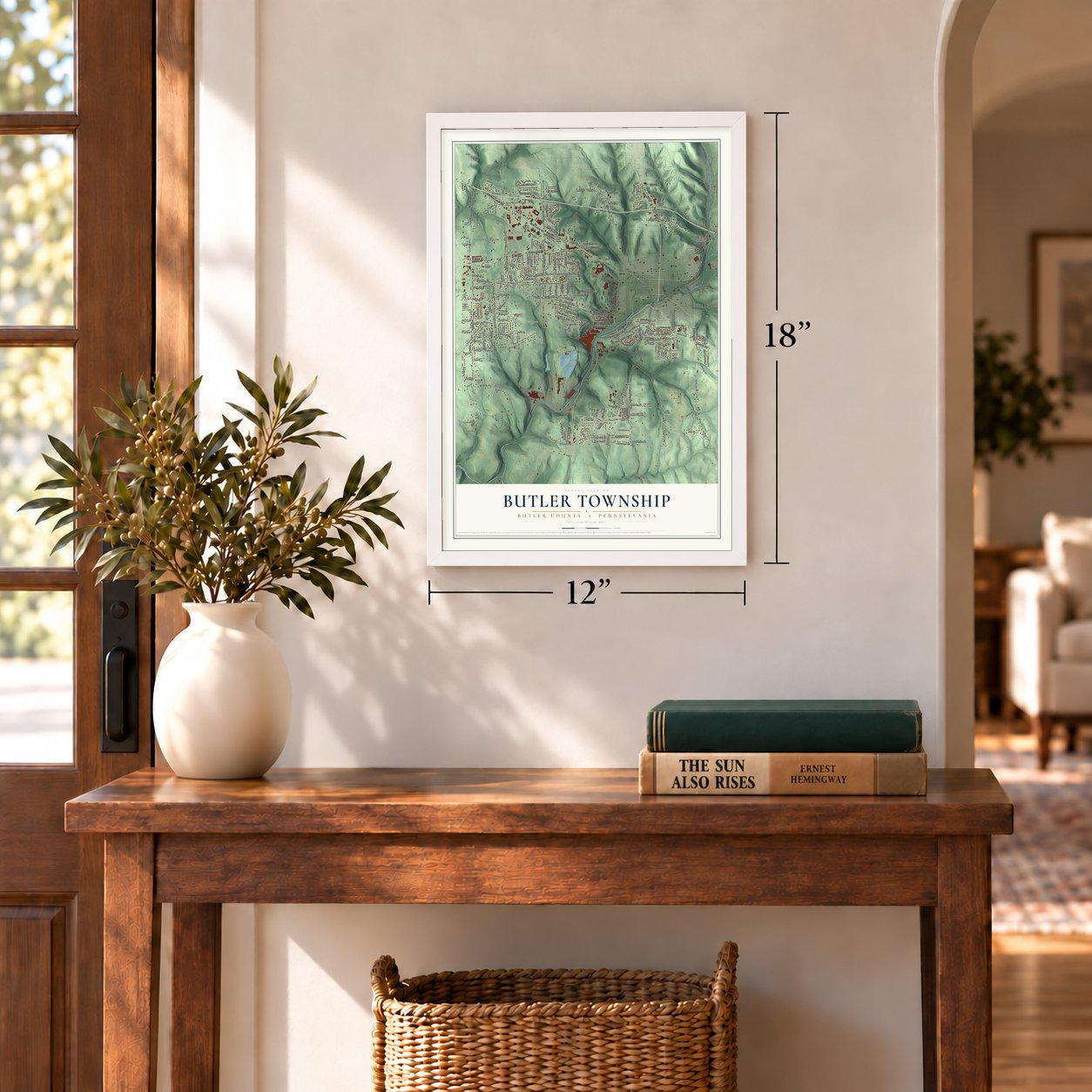
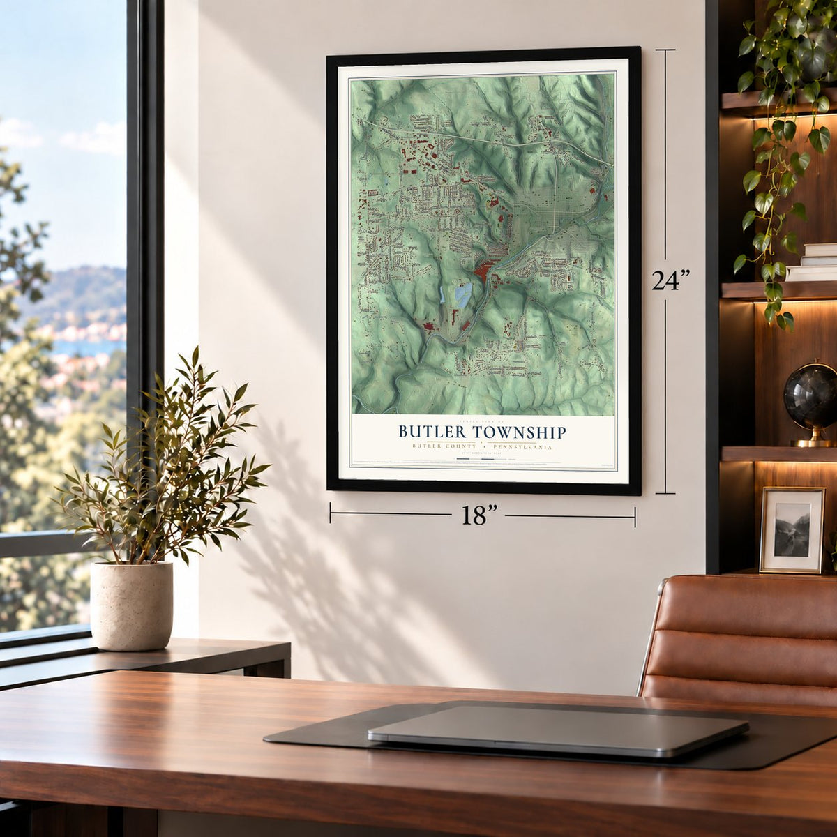
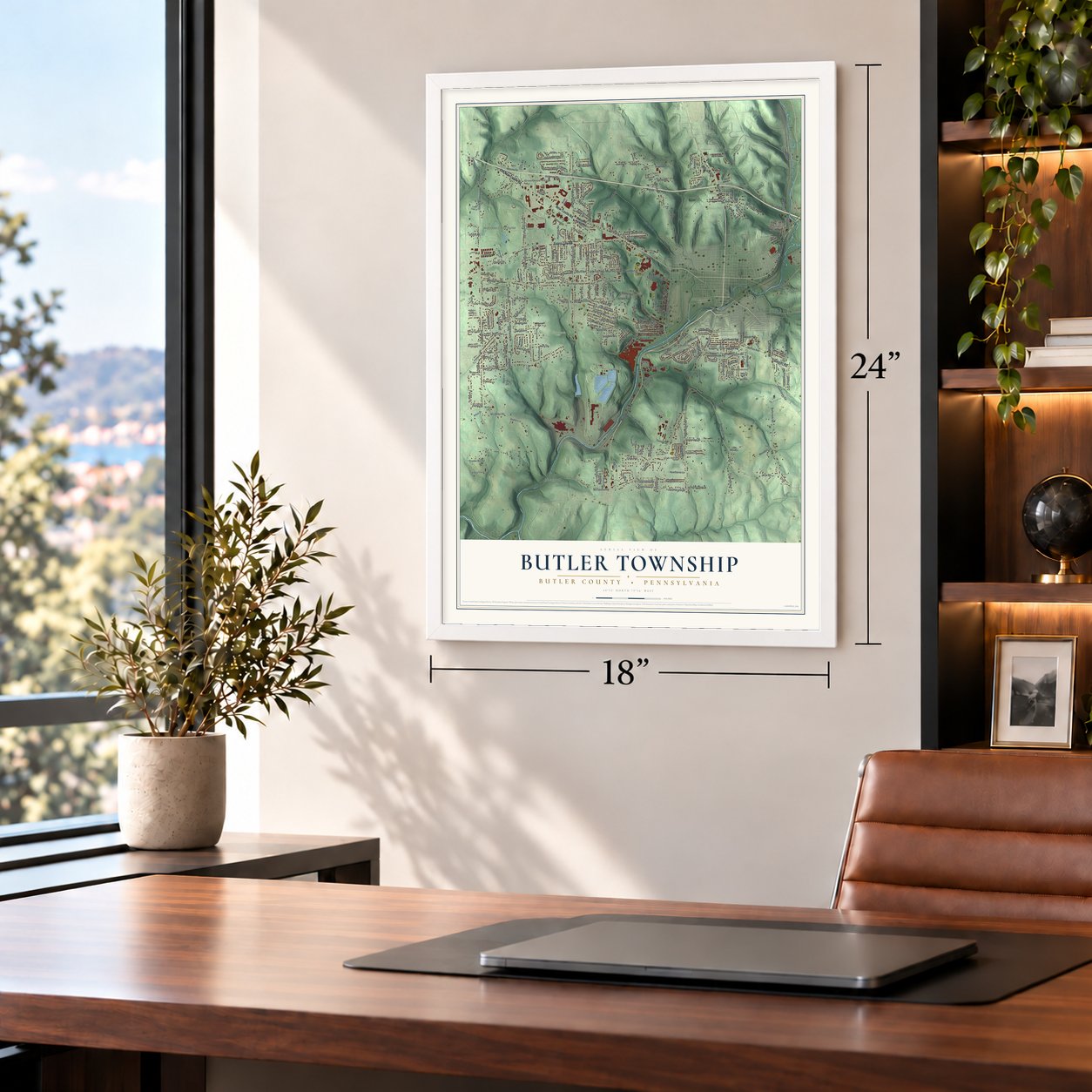
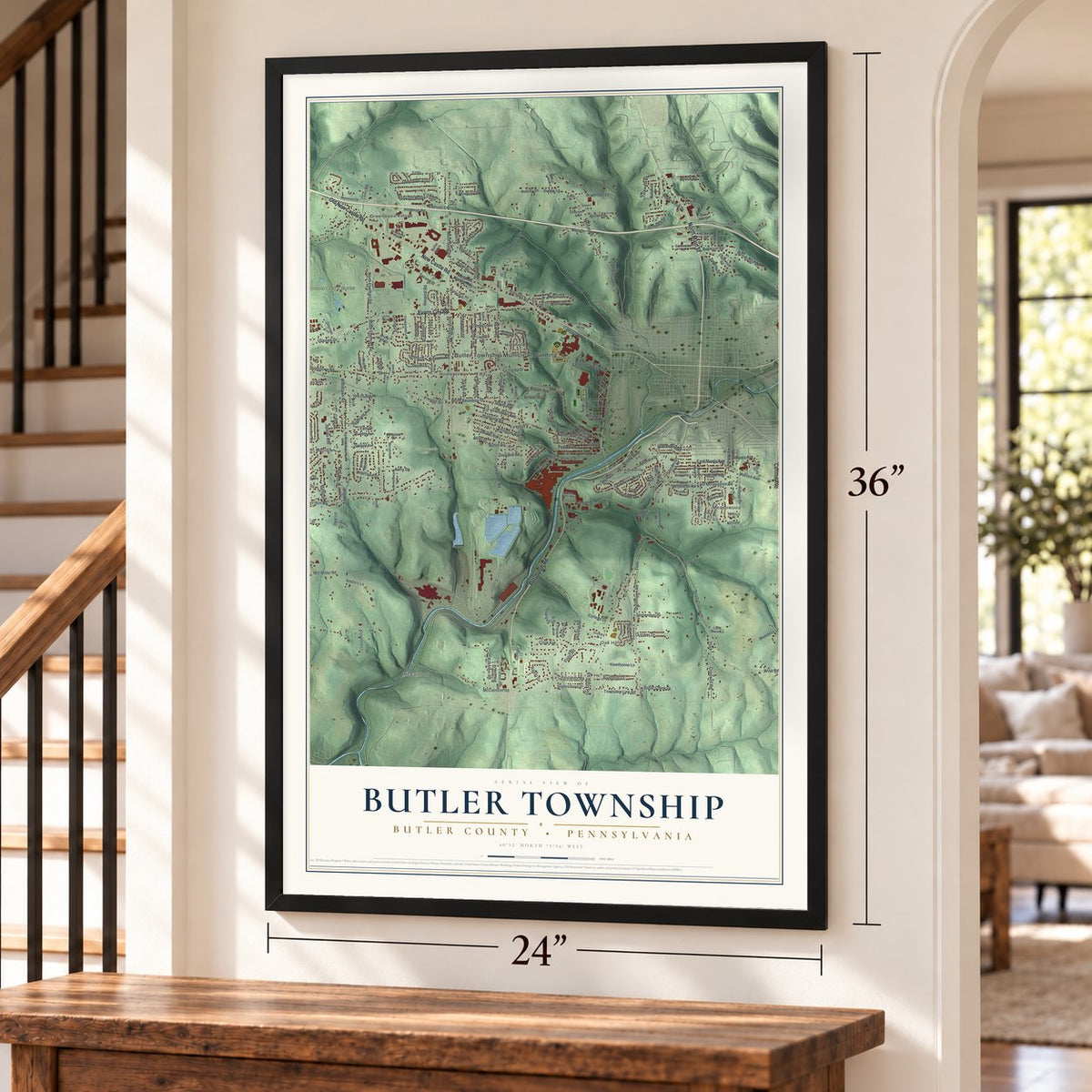
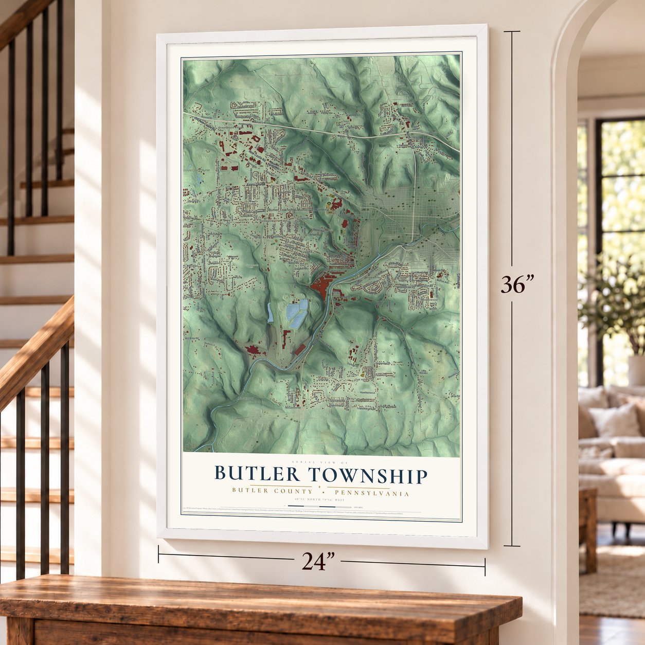
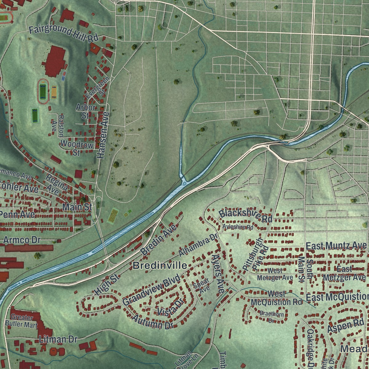
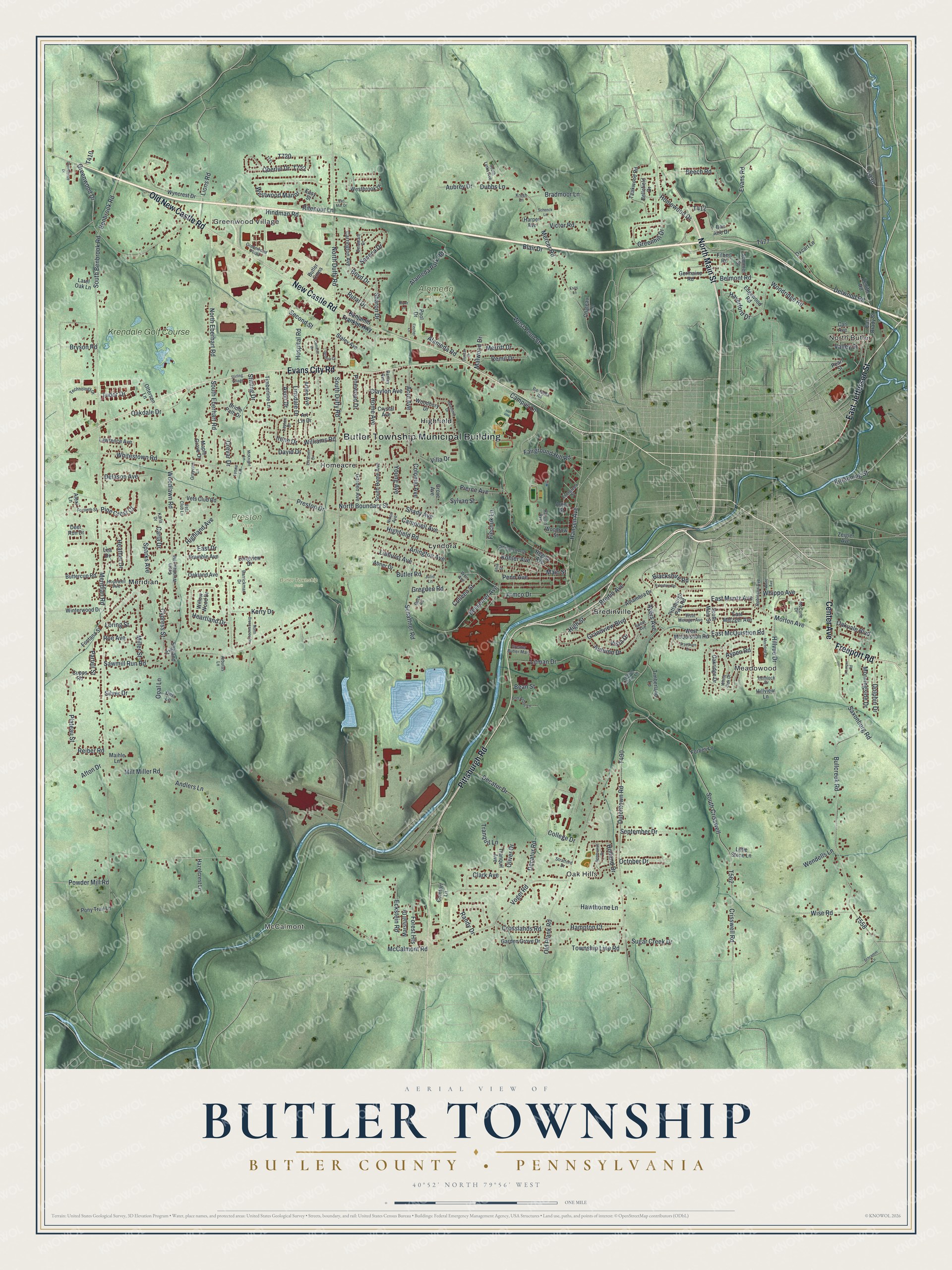
Explore Butler Township, Butler County, Pennsylvania from a whole new perspective. Created using aerial imagery and detailed geographic data, this map captures Butler Township building by building, with labeled streets, familiar landmarks, and shaded topographical relief that highlights the natural contours of the landscape.
Combining modern data with the timeless character of a vintage atlas, this map is just as interesting up close as it is beautiful on the wall. Whether you grew up in Butler Township, spent memorable years there, or call it home today, this unique map is a great way to celebrate a place that means something to you. Zoom in on the preview to look for your street, and then order a print to put your memories on the wall.
Three ways to hang it
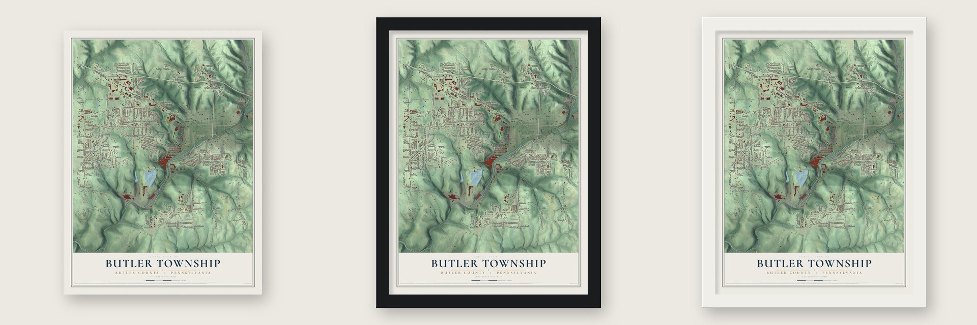
Unframed archival matte, a black wood frame or a white wood frame.
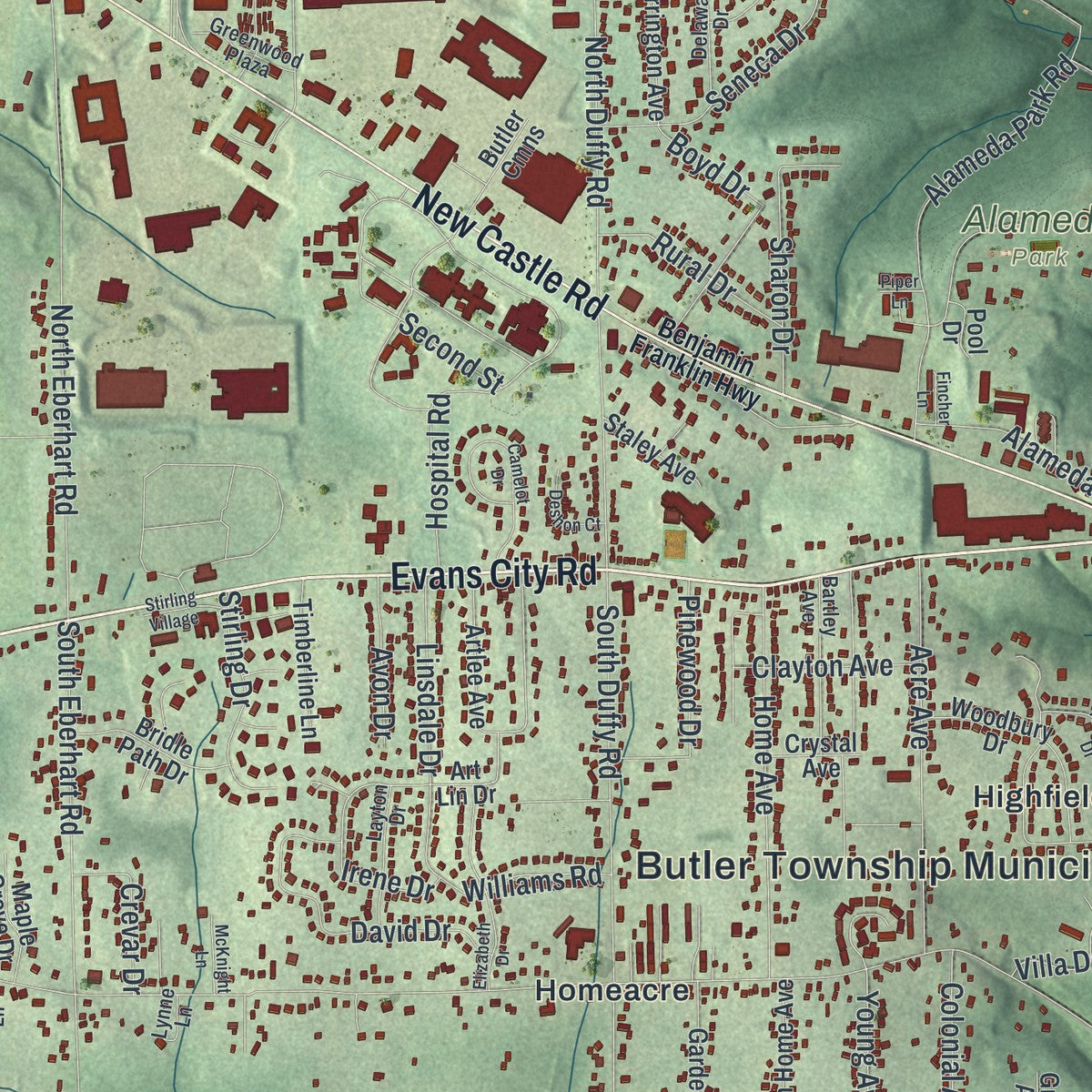
Up close
Geography Worth Displaying
This map was created using accurate cartographic data and authoritative geographic sources, including the U.S. Geological Survey and the Census Bureau. The map brings together terrain, waterways, roads, and building detail. The majority of the streets are labeled, houses are accurately depicted, and the topography is derived from government sources. Combining local data with carefully composed color and shading leads to this beautifully detailed Butler artwork for your wall.
Rather than simply showing street outlines, we’ve included as many of the street names as we could reasonably fit on the map while keeping their names legible. Zoom in on the high resolution preview to see exactly what’s on the map. We truly set out to create a statement piece for anyone who loves Butler. So whether it’s for you, or a gift for someone you love, we hope this map of Butler brings back fond memories.
Read the story behind this map of Butler Township, Butler County, Pennsylvania from 2026.

Find your street
Names on the Butler map
Every name below is printed on this map. Look for your street, your school, the park where you played, or the pond down the road.
Places and landmarks15
- Butler Township Municipal Building
- North Butler
- Meadowood
- Oak Hills
- Greenwood Village
- McCalmont
- Alameda Park
- Butler Township Park
- Preston Park
- Meridian
- Highfield
- Bredinville
Show all 15 places
- Lyndora
- Homeacre
- Krendale Golf Course
Streets and roads285
- Pittsburgh Road
- North Main Street
- East Jefferson Street
- Center Avenue
- Freeport Road
- Evans City Road
- New Castle Road
- Old New Castle Road
- Morton Avenue
- East McQuistion Road
- College Drive
- Hansen Avenue
- Greenwood Drive
- Main Street
- Decatur Road
- Clark Avenue
- Homewood Drive
- Lions Road
- Whitestown Road
- Old Plank Road
- Second Street
- Highland Avenue
- Crisswell Road
- South Crisswell
- Kittanning Street
- Pine Crest Court
- Westwood Manor
- High Street
- Young Avenue
- Meridian Road
Show all 285 streets
- McCalmont Road
- Sawmill Run Road
- Delwood Road
- Benbrook Road
- South Benbrook Road
- South Eberhart Road
- South Duffy Road
- Bullcreek Road
- Dutchtown Road
- Mercer Road
- West Penn Street
- Highfield Road
- Bessemer Avenue
- North Eberhart Road
- Vogel Road
- Butler Road
- North Duffy Road
- Grandview Boulevard
- Litman Drive
- Alameda Road
- Wise Road
- Eckstein Road
- Kohler Avenue
- Heather Drive
- North Boundary Street
- Greenhill Drive
- Belmont Road
- Oberlin Drive
- Alameda Park Road
- Evans Road
- Decatur Drive
- Saxonburg Road
- Fairground Hill Road
- Seneca Drive
- Woodlawn Road
- Campus Lane
- Armco Drive
- Acre Avenue
- Home Avenue
- Schaffner Road
- Hindman Road
- Autumn Drive
- Hospital Road
- Linhurst Avenue
- David Drive
- Bredin Avenue
- Miller Street
- Milt Miller Road
- Cypress Street
- Township Line Road
- Beech Road
- Oakdale Drive
- Plateau Street
- Hampton Court
- Campbell Avenue
- Hillvue Drive
- Andlers Lane
- Arlington Avenue
- Aubrey Drive
- Randy Drive
- Preston Drive
- September Drive
- Pierce Avenue
- Penn Avenue
- Williams Road
- Bryson Road
- Tudor Drive
- Irene Drive
- Holland Drive
- Crosslands Road
- Haverford Drive
- Stirling Drive
- Remil Drive
- Merritt Drive
- Dolphin Drive
- October Drive
- Bradmoor Lane
- Wendells Lane
- Whippo Avenue
- Hawthorne Lane
- Sharon Drive
- Morningside Drive
- Colonial Avenue
- Blair Drive
- Rural Drive
- Woodridge Road
- Sugar Creek Drive
- Linsdale Drive
- Vista Drive
- Delason Avenue
- Ritenour Lane
- Victor Road
- Kerry Drive
- Reiber Road
- Forest Heights
- Powder Mill Road
- Colleen Street
- Oakvale Boulevard
- Clayton Avenue
- Dubbs Lane
- Heartland Drive
- East Muntz Avenue
- Malwood Drive
- Blackshire Road
- Fiechuk Lane
- Pinewood Drive
- Crevar Drive
- Avon Drive
- Partell Street
- Shady Avenue
- Silver Drive
- Sparks Avenue
- Opal Lane
- Carla Drive
- Villa Drive
- Roe Avenue
- Gregden Road
- Loring Street
- Sylvan Street
- East Drive
- Oliver Drive
- Tranquil Lane
- Boyd Drive
- Afton Drive
- Valley Street
- Ayers Avenue
- Aspen Road
- Bean Street
- South Main Street
- Alexi Lane
- Tranquil Avenue
- Pittsburgh Pike Road
- Wyncrest Drive
- Westbrook Drive
- Teakwood Road
- East Brady Street
- Artlee Avenue
- Deer Run Drive
- Oxcart Lane
- Edgewood Road
- Woodbury Drive
- Pony Trail Lane
- Alhambra Drive
- Lawrence Avenue
- Garden Grove Drive
- West McQuistion Road
- South Home Avenue
- Garden Avenue
- East Metzger Avenue
- Cupps Road
- Carrington Avenue
- Bridle Path Drive
- Harper Avenue
- Winterwood Drive
- Butler Cmns
- Timberline Lane
- Buttercup Road
- Oakridge Drive
- Marshall Drive
- Timberland Lane
- Zeigler Avenue
- Hazelcrest Lane
- Oakland Avenue
- Comfort Lane
- Bramble Avenue
- Germaine Road
- Vets Club Road
- Maple Grove Drive
- Fontana Street
- Woodrow Street
- Filbert Road
- Abner Drive
- Zenith Road
- Willow Wood Drive
- Bellefield Drive
- Staley Avenue
- Summer Street
- Art Lin Drive
- Pool Drive
- Chateau Lane
- Otterson Lane
- Forbes Lane
- Longview Drive
- Little Stone Lane
- Larel Oak Lane
- Regina Avenue
- Crystal Avenue
- England Street
- Easy Street
- Carl Avenue
- Grove Avenue
- Bon Aire Drive
- Arbor Street
- Hillview Lane
- Maihle Lane
- Dee Lane
- Pearl Street
- Lea Drive
- Benjamin Franklin Highway
- Fortieth Street
- Barracks Road
- West Metzger Avenue
- White Oak Drive
- Greater Butler Mart
- South Woodlawn Road
- Technology Drive
- Nixon Avenue
- Barrickman Drive
- Delaware Drive
- Hopewell Avenue
- Semanco Avenue
- Bartley Avenue
- Karla Drive
- Evergreen Street
- Layton Drive
- Ann Arbor Lane
- Robinson Avenue
- McCune Drive
- Greenwood Plaza
- Litman Grove Lane
- Ralston Avenue
- Stratford Drive
- Beck Road
- South Links Avenue
- Grayvine Lane
- Vets Club Lane
- Weir Avenue
- Hemlock Drive
- Arbutus Lane
- Julie Lane
- Spear Avenue
- Lynne Lane
- Kresh Lane
- Alton Street
- Havenhill Drive
- Camelot Drive
- Rembrandt Drive
- Elizabeth Drive
- Mechling Drive
- McKnight Lane
- White Avenue
- North Breezewood Drive
- Ayleshire Road
- Schramm Lane
- Braethorn Drive
- Duncan Drive
- Kemper Road
- Deshon Court
- Providence Drive
- Stirling Village
- Schenck Lane
- Van Mar Drive
- Fincher Lane
- Piper Lane
- Espy Lane
Names are listed as they appear on the printed map. Zoom into the product photos to find them.
About Butler Township, Butler County, Pennsylvania
Butler Township is a township of 17,230 people near the center of Butler County, and it wraps around the city of Butler, the county seat. William Kearns, a settler from Ireland, arrived in 1795 and held around 1,000 acres here and in neighboring Summit Township. Thomas McKee, who had fought in the Revolutionary War, owned land here at the same time.
Butler Township was one of the 13 townships formed when Butler County was split up in 1804. It was later divided into North Butler and South Butler. The two halves stayed apart until 1854, when the township took the boundaries it still has, and it became a first class township in 1922.
- A creek brought backConnoquenessing Creek crosses the south of the township on its way to the Beaver River. A study in 2000 found that only the Mississippi River took in more toxic material, and the Armco steel plant in Butler then led the nation in pollutant discharges. As industry shrank and cleanup went on, the creek recovered by 2010, and people now use it for water sports.
- Preston ParkThis was the private estate of Dr. Frank W. Preston, a scientist well known in the area. After his wife Jane died in 2008, the land passed to the township. Its more than 90 wooded acres hold walking trails, a large pond, the Prestons' house and laboratory, a prairie and a collection of several dozen kinds of conifers, some of them the largest of their kind in Pennsylvania.
- Alameda Park's amusement daysAlameda Park, run by Butler County, started out as an amusement park with a small lake. The lake is gone now, and the shell of the old carousel serves as a pavilion. The wooded park has hiking trails, a public pool, picnic shelters and playgrounds.
- Steel on 1,000 acresThe AK Steel Butler Works plant stands entirely inside Butler Township and covers about 1,000 acres.
Keep exploring Pennsylvania
Butler Township is one of 3,725 Pennsylvania towns we've mapped. Every dot on the map is a print of its own.
The search covers every state, Pennsylvania first.
Near Butler Township
Order 2 or more town maps and save 10%. Shown in the size and finish you picked above, so they hang as a set.
- Homeacre-Lyndora 12" x 18" / Archival Matte Print $39.99
- Meridian 12" x 18" / Archival Matte Print $39.99
- Butler City 12" x 18" / Archival Matte Print $39.99


More maps nearby: Meadowood, Oak Hills, Renfrew, Shanor-Northvue and Penn.
The art of mapping a place
How This Map Was Made
Real places. Remarkable detail. Discover the layers that turn geographic data into a map of home.

The view from above
Aerial imagery reveals the character of the land: woodland, open fields, and the patterns of a place.

The shape of the land
Elevation data brings hills, valleys, and subtle changes in the landscape into view.

The details of home
Roads, waterways, and building footprints come together to make the map feel unmistakably local.

Geography becomes art
Considered color, shading, and typography bring the layers together in a map made for your wall.


Process illustrated with Mendon, Massachusetts. Aerial imagery: USDA NAIP. Terrain: USGS 3D Elevation Program. Map details and finished artwork: KNOWOL.
The Details
About This Print
Choose an archival matte print, or a black or white Ayous wood frame. The archival matte print is unframed.
Select your size and finish above to see the matching product image and price.
Materials & Craftsmanship
A contemporary map with the character of a classic atlas, printed on archival matte paper. Optional frames are made from Ayous wood.
Your printed map does not include the watermark shown in the full-map preview.
Shipping & Delivery
Free shipping within the United States. Every print is made to order in the USA.
Buying a gift? Add a note in your cart and we'll include it. We never put prices in the package.
Prints ship within 2 to 3 business days. Allow 7 to 10 days total from ordering for delivery. Timing may vary during holidays or periods of high order volume.
Read our shipping policy.
Returns and damaged prints
Each print is made to order. Change-of-mind refunds are not available after production.
If your print arrives damaged, misprinted or incorrect, contact support@knowol.com within 30 days of receiving it. Include your order number, photos and a description of the issue.
Read our full refund and replacement policy. For questions about your order, email support@knowol.com.