
Search for another town




Free U.S. delivery 7 to 10 days after you order
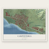
Carpinteria, California Map Art
Building by building, with labeled streets and shaded relief.
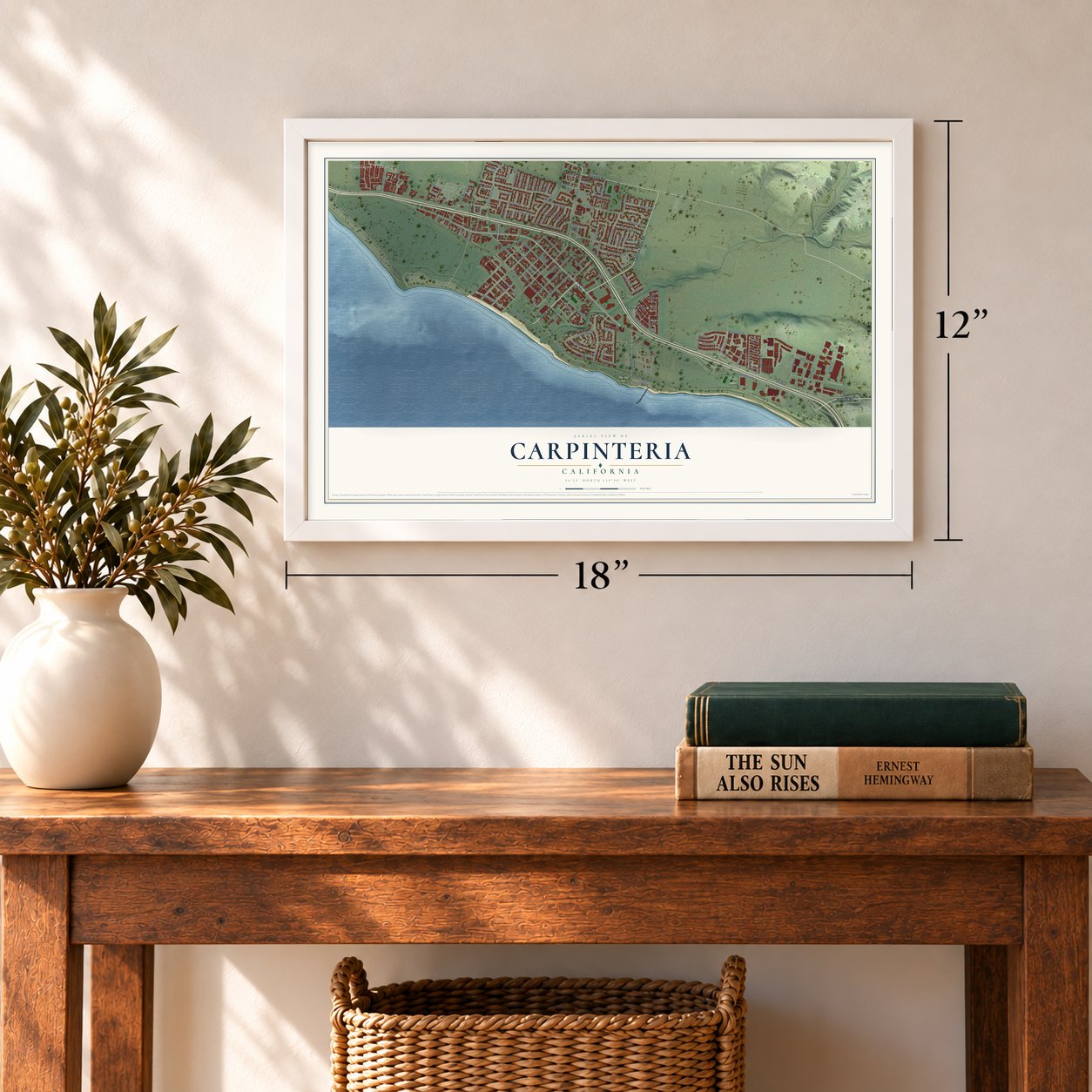
12" x 18" Archival Matte Print
A Map of Home. A Work of Art.
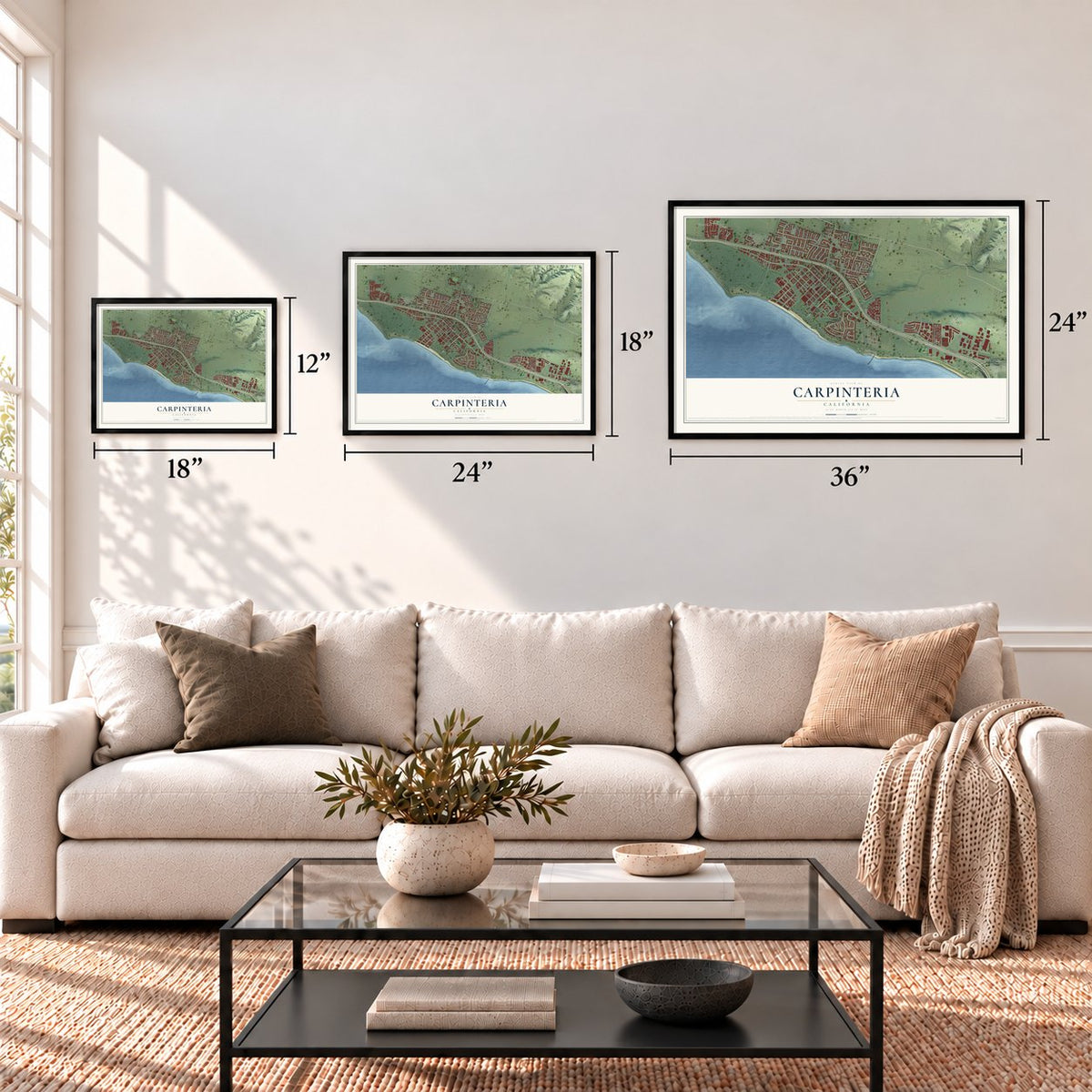
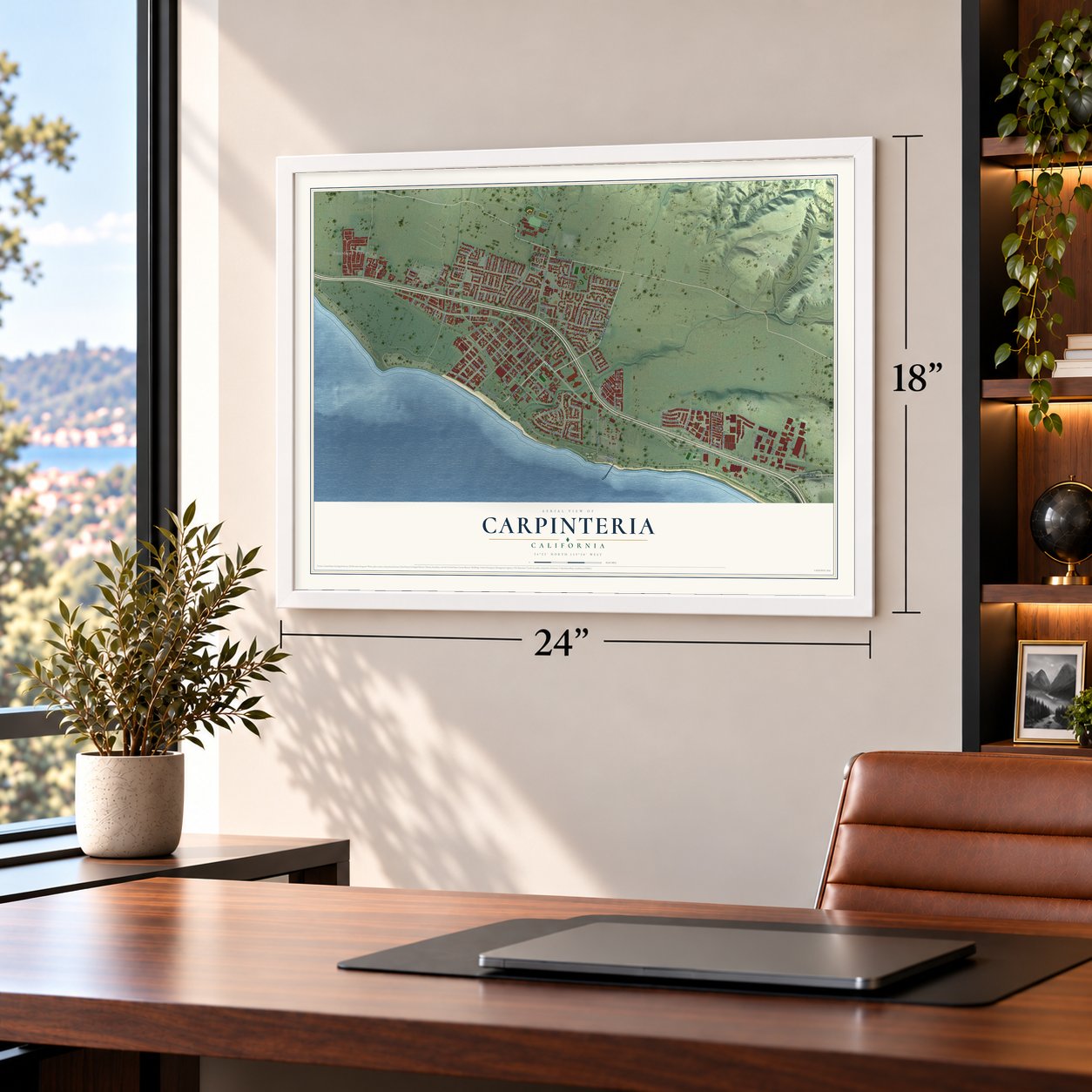
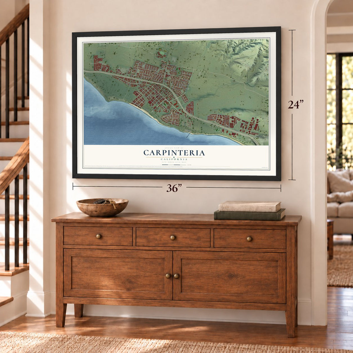
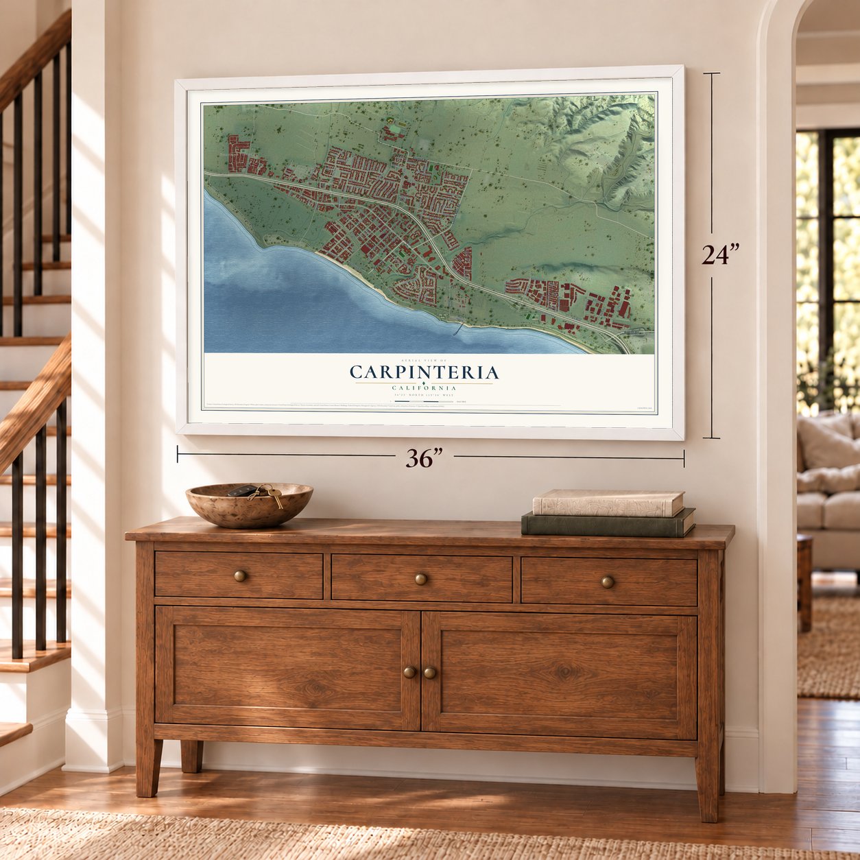
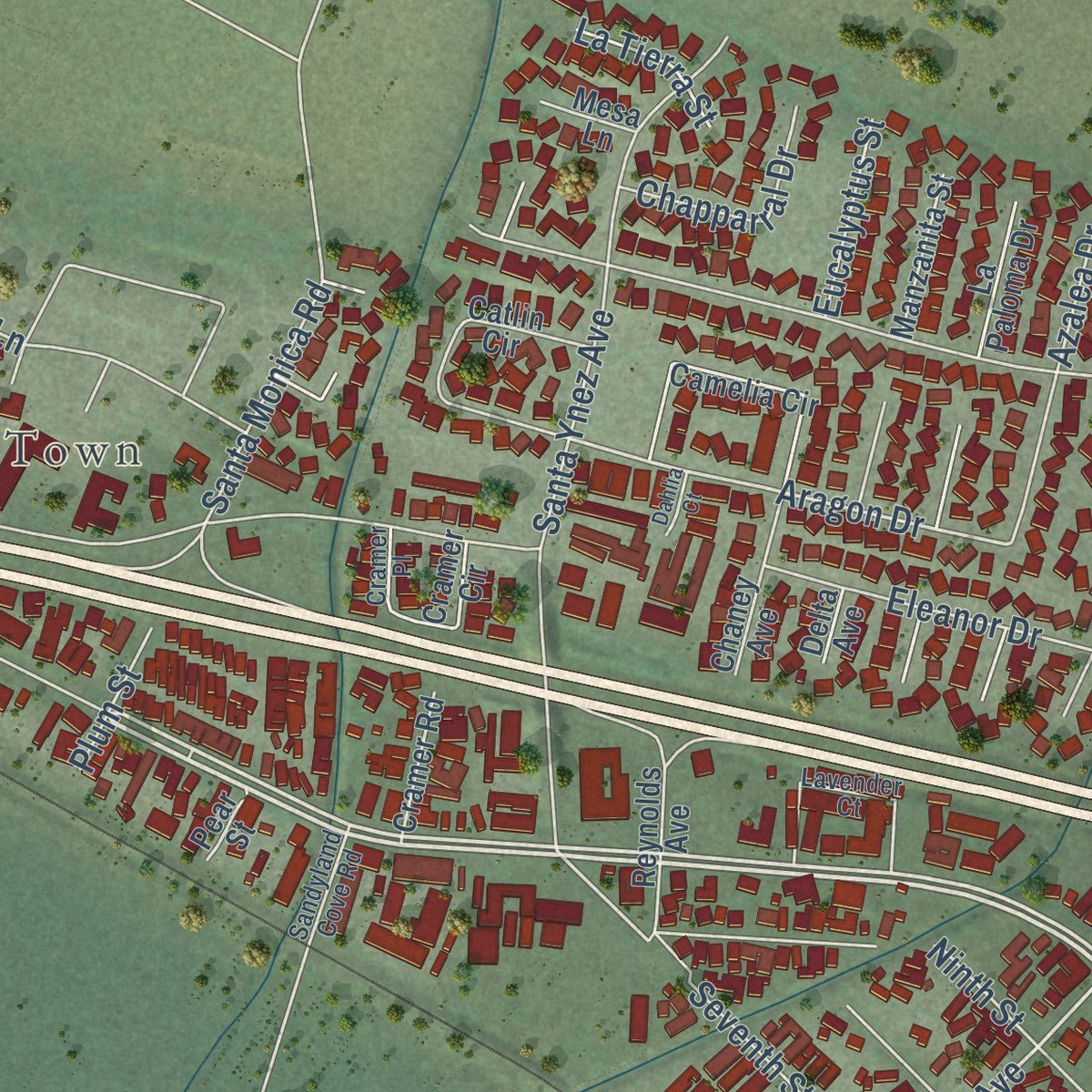
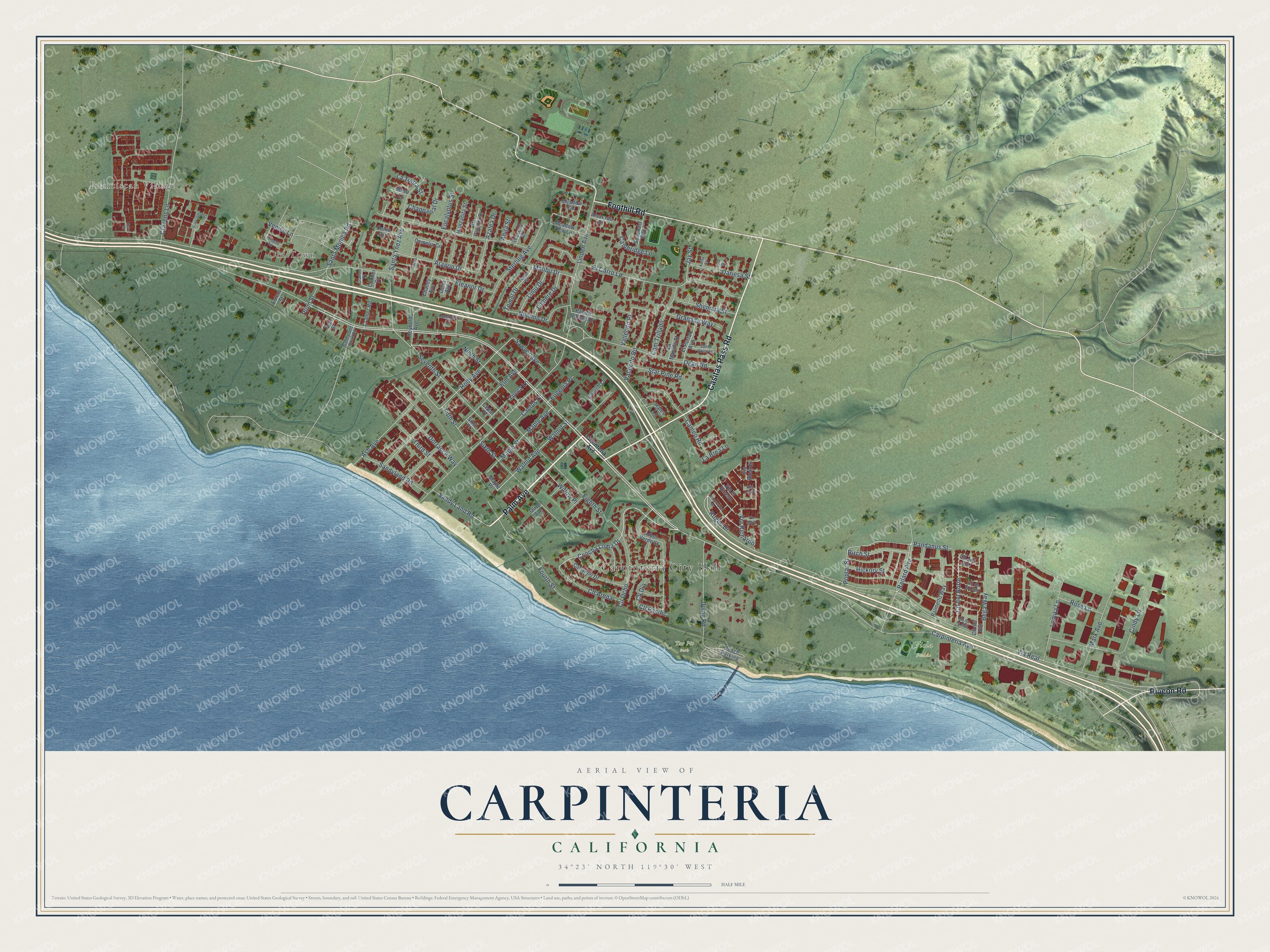
Explore Carpinteria, California from a whole new perspective. Created using aerial imagery and detailed geographic data, this map captures Carpinteria building by building, with labeled streets, familiar landmarks, and shaded topographical relief that highlights the natural contours of the landscape.
Combining modern data with the timeless character of a vintage atlas, this map is just as interesting up close as it is beautiful on the wall. Whether you grew up in Carpinteria, spent memorable years there, or call it home today, this unique map is a great way to celebrate a place that means something to you. Zoom in on the preview to look for your street, and then order a print to put your memories on the wall.
Three ways to hang it
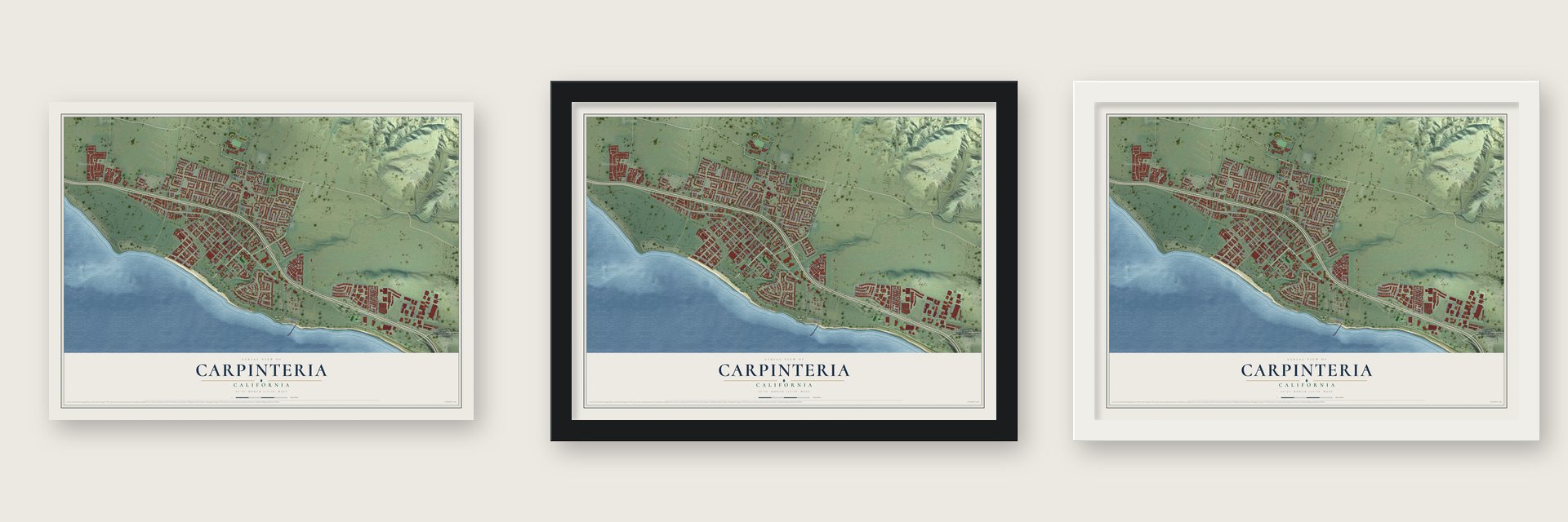
Unframed archival matte, a black wood frame or a white wood frame.
Up close
Geography Worth Displaying
This map was created using accurate cartographic data and authoritative geographic sources, including the U.S. Geological Survey and the Census Bureau. The map brings together terrain, waterways, roads, and building detail. The majority of the streets are labeled, houses are accurately depicted, and the topography is derived from government sources. Combining local data with carefully composed color and shading leads to this beautifully detailed Carpinteria artwork for your wall.
Rather than simply showing street outlines, we’ve included as many of the street names as we could reasonably fit on the map while keeping their names legible. Zoom in on the high resolution preview to see exactly what’s on the map. We truly set out to create a statement piece for anyone who loves Carpinteria. So whether it’s for you, or a gift for someone you love, we hope this map of Carpinteria brings back fond memories.
Read the story behind this map of Carpinteria, California from 2026.
Find your street
Names on the Carpinteria map
Every name below is printed on this map. Look for your street, your school, the park where you played, or the pond down the road.
Places and landmarks5
- Carpinteria City Hall
- Franciscan Village
- Old Town
- Tar Pit Park
- Viola Fields
Streets and roads129
- Palm Avenue
- Casitas Pass Road
- Foothill Road
- Rincon Road
- Carpinteria Avenue
- Concha Loma Drive
- Sandy Land Road
- Holly Avenue
- Rogue Drive
- Bailard Avenue
- Via Real
- Seventh Street
- Aragon Drive
- Fifth Street
- Linden Avenue
- El Carro Lane
- Fourth Street
- Eighth Street
- Santa Ynez Avenue
- Elm Avenue
- Cindy Lane
- Dump Road
- Vallecito Road
- Cravens Lane
- Ash Avenue
- Ogan Road
- Sixth Street
- Ninth Street
- Mark Avenue
- Via Richardo
Show all 129 streets
- Lomita Lane
- Sterling Avenue
- Walnut Avenue
- Walnut Street
- Cameo Road
- Maple Avenue
- Maple Street
- Cll Ocho
- Bega Way
- Malibu Drive
- Sandyland Road
- Third Street
- Dorrance Way
- Cam Trillado
- Nipomo Drive
- Cll Arena
- Cll del Norte
- Yucca Lane
- Shemara Street
- Birch Street
- Eleanor Drive
- Dariesa Street
- Santa Monica Road
- Hickory Street
- Azalea Drive
- Cactus Lane
- Granada Way
- Star Pine Road
- Tomol Drive
- Linhere Drive
- Limu Drive
- Sawyer Avenue
- Chapparral Drive
- Rose Lane
- Cambridge Lane
- Willow Place
- Vallecito Place
- Pandanus Street
- Eucalyptus Street
- Eugenia Place
- Jay Street
- La Tierra Street
- Cll Pacific
- Poplar Street
- La Brea Lane
- Plum Street
- Venice Lane
- Cll Dia
- Anita Street
- Meadow Circle
- Via Ricardo
- Arbol Verde Street
- Beach Parking
- Canalino Drive
- Catlin Circle
- Camelia Circle
- Palmetto Way
- Via el Rincon
- Pacific Village Drive
- Meadow View Lane
- Cramer Circle
- El Portal Avenue
- Seacoast Way
- Olive Avenue
- Church Lane
- Chaney Avenue
- Cll del Sur
- Manzanita Street
- Reynolds Avenue
- La Paloma Drive
- Cramer Road
- La Manida Street
- Alvarado Street
- Theresa Street
- Cll del Sol
- Hales Lane
- Maple Place
- Mesa Lane
- Pear Street
- Estero Street
- Cedar Place
- Sixth Place
- Delta Avenue
- Tomol Street
- Lavender Court
- Cramer Place
- Trieste Lane
- Santa Rosa Lane
- Sandyland Cove Road
- Cll de la Luna
- Cll de la Mar
- Via Elsie
- Franciscan Court
- Lemonwood Drive
- Via Maria
- Dahlia Court
- Lisa Street
- Kathy Street
- Cove Street
Names are listed as they appear on the printed map. Zoom into the product photos to find them.
About Carpinteria, California
Carpinteria is a city of 13,264 people in Santa Barbara County, on a coastal plain where the Santa Ynez Mountains come down toward the Pacific Ocean. Long before Europeans arrived, the Chumash had a village here. A California state historical record calls it Mishopshnow and says Juan Rodríguez Cabrillo came upon it on August 14, 1542.
In 1769 the Spanish Portolá expedition walked west along the beach from its camp at Rincon and found a large village on the point where Carpinteria Pier now stands. They made camp close by on August 17. Fray Juan Crespí, a Franciscan traveling with them, wrote that the people owned many canoes and were building one when the Spaniards came, so the soldiers named the place La Carpinteria, the carpentry shop.
- Pitch for the canoesCrespí also noted springs of pitch near the village. The Chumash used this natural asphalt, which rose to the surface, to seal their canoes, called tomols. The seeps still show along the beach bluffs at Tar Pits Park, in Carpinteria State Beach, and the three drilling platforms closest to shore stand in the Carpinteria Offshore Oil Field.
- World's Safest Beach since 1912The city took up the slogan "World's Safest Beach" in 1912 and still uses it today. Carpinteria is also known as a popular place to surf.
- Avocado Festival since 1987Every year on the first weekend of October, Carpinteria holds the California Avocado Festival, which began in 1987. Over its three days, more than 80,000 people come for avocado foods and goods made by local hands.
- The largest Torrey pineThe Wardholme Torrey Pine, in downtown Carpinteria, is the largest Torrey pine tree known anywhere on earth. Bird watchers visit the Carpinteria Salt Marsh Reserve, set up in 1977 and run by the University of California's Natural Reserve System.
Keep exploring California
Carpinteria is one of 1,914 California towns we've mapped. Every dot on the map is a print of its own.
The search covers every state, California first.
Near Carpinteria
Order 2 or more town maps and save 10%. Shown in the size and finish you picked above, so they hang as a set.
- Toro Canyon 12" x 18" / Archival Matte Print $39.99
- Summerland 12" x 18" / Archival Matte Print $39.99
- Montecito 12" x 18" / Archival Matte Print $39.99


More maps nearby: Oak View, Santa Barbara, Mira Monte, Mission Canyon and Meiners Oaks.
The art of mapping a place
How This Map Was Made
Real places. Remarkable detail. Discover the layers that turn geographic data into a map of home.

The view from above
Aerial imagery reveals the character of the land: woodland, open fields, and the patterns of a place.

The shape of the land
Elevation data brings hills, valleys, and subtle changes in the landscape into view.

The details of home
Roads, waterways, and building footprints come together to make the map feel unmistakably local.

Geography becomes art
Considered color, shading, and typography bring the layers together in a map made for your wall.


Process illustrated with Mendon, Massachusetts. Aerial imagery: USDA NAIP. Terrain: USGS 3D Elevation Program. Map details and finished artwork: KNOWOL.
The Details
About This Print
Choose an archival matte print, or a black or white Ayous wood frame. The archival matte print is unframed.
Select your size and finish above to see the matching product image and price.
Materials & Craftsmanship
A contemporary map with the character of a classic atlas, printed on archival matte paper. Optional frames are made from Ayous wood.
Your printed map does not include the watermark shown in the full-map preview.
Shipping & Delivery
Free shipping within the United States. Every print is made to order in the USA.
Buying a gift? Add a note in your cart and we'll include it. We never put prices in the package.
Prints ship within 2 to 3 business days. Allow 7 to 10 days total from ordering for delivery. Timing may vary during holidays or periods of high order volume.
Read our shipping policy.
Returns and damaged prints
Each print is made to order. Change-of-mind refunds are not available after production.
If your print arrives damaged, misprinted or incorrect, contact support@knowol.com within 30 days of receiving it. Include your order number, photos and a description of the issue.
Read our full refund and replacement policy. For questions about your order, email support@knowol.com.