
Search for another town

Free U.S. delivery 7 to 10 days after you order
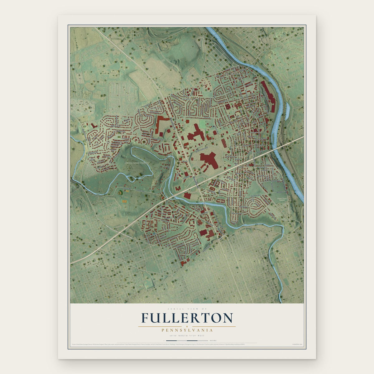
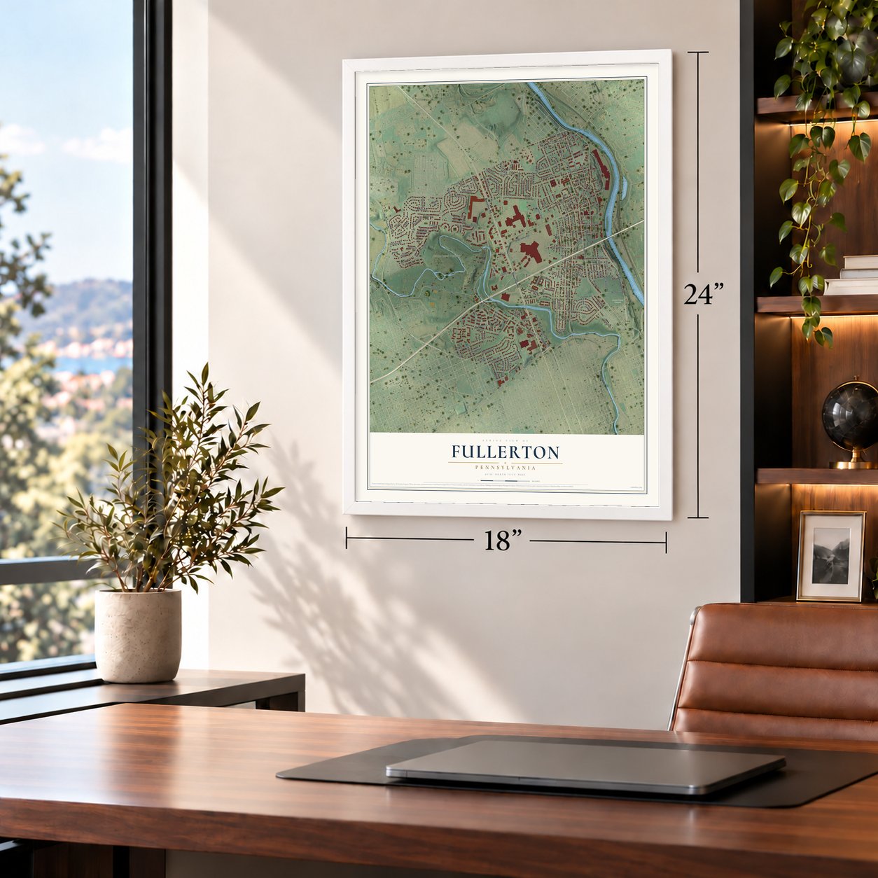
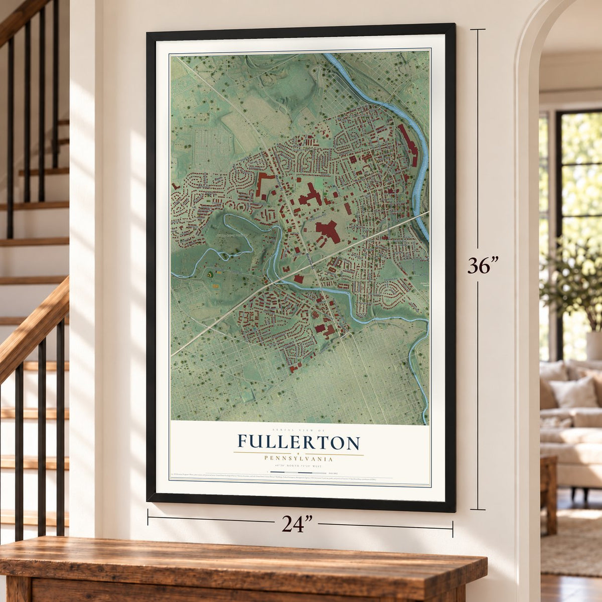
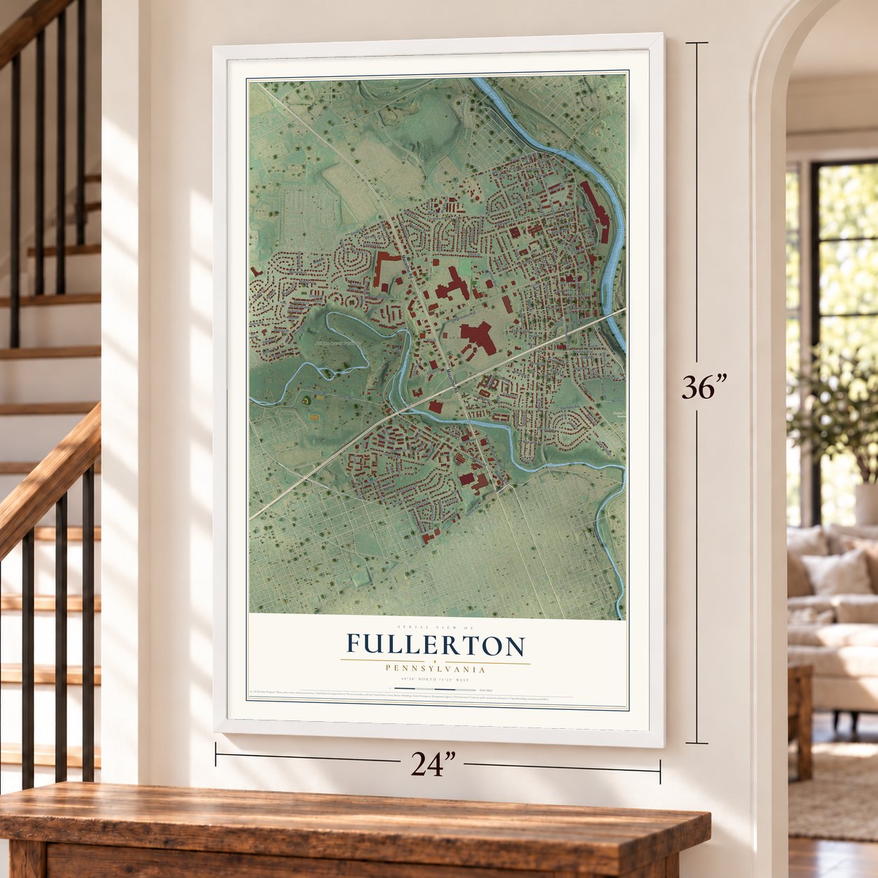
Fullerton, Pennsylvania Map Art
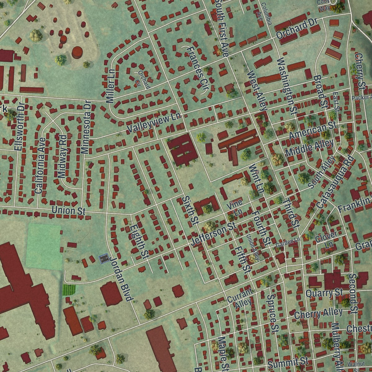
Building by building, with labeled streets and shaded relief.
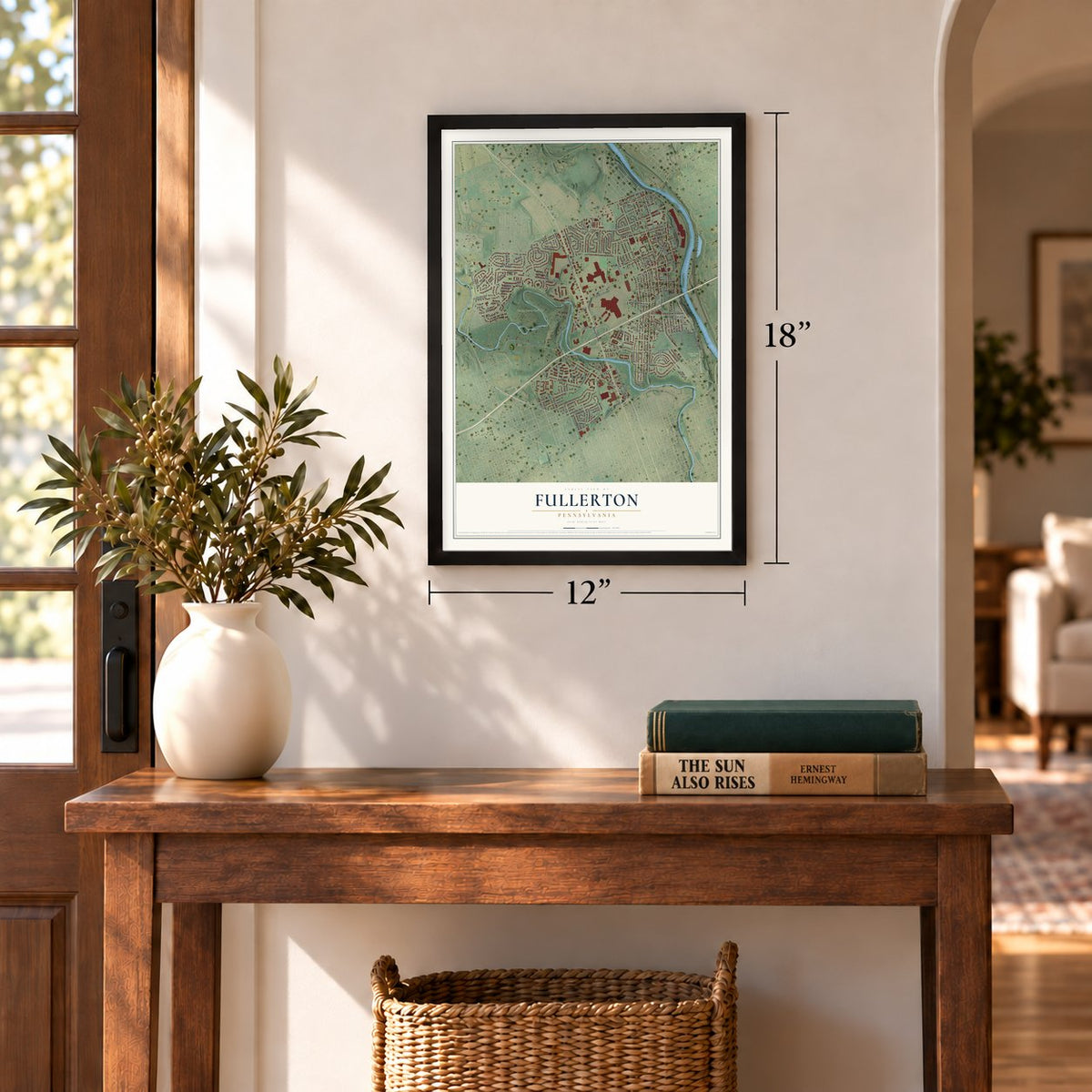
12" x 18" Archival Matte Print
A Map of Home. A Work of Art.
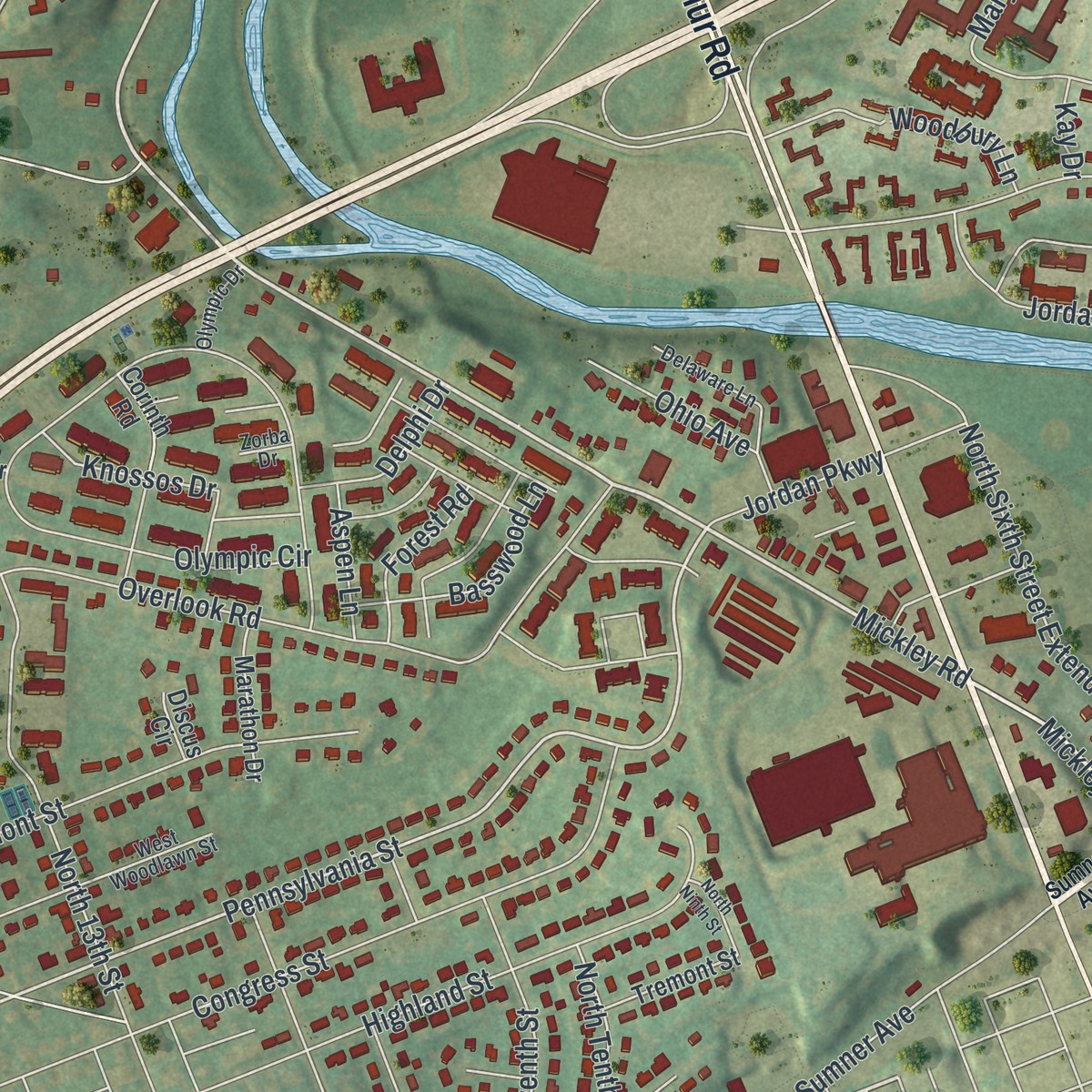
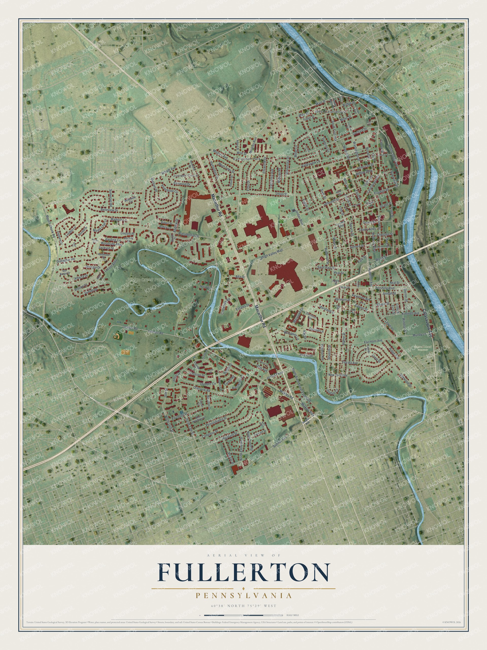
Explore Fullerton, Pennsylvania from a whole new perspective. Created using aerial imagery and detailed geographic data, this map captures Fullerton building by building, with labeled streets, familiar landmarks, and shaded topographical relief that highlights the natural contours of the landscape.
Combining modern data with the timeless character of a vintage atlas, this map is just as interesting up close as it is beautiful on the wall. Whether you grew up in Fullerton, spent memorable years there, or call it home today, this unique map is a great way to celebrate a place that means something to you. Zoom in on the preview to look for your street, and then order a print to put your memories on the wall.
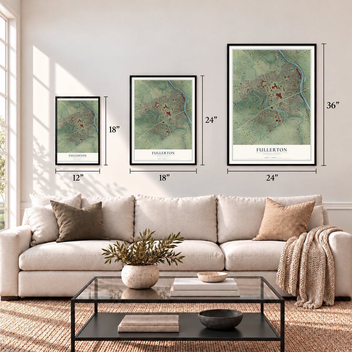
Three ways to hang it
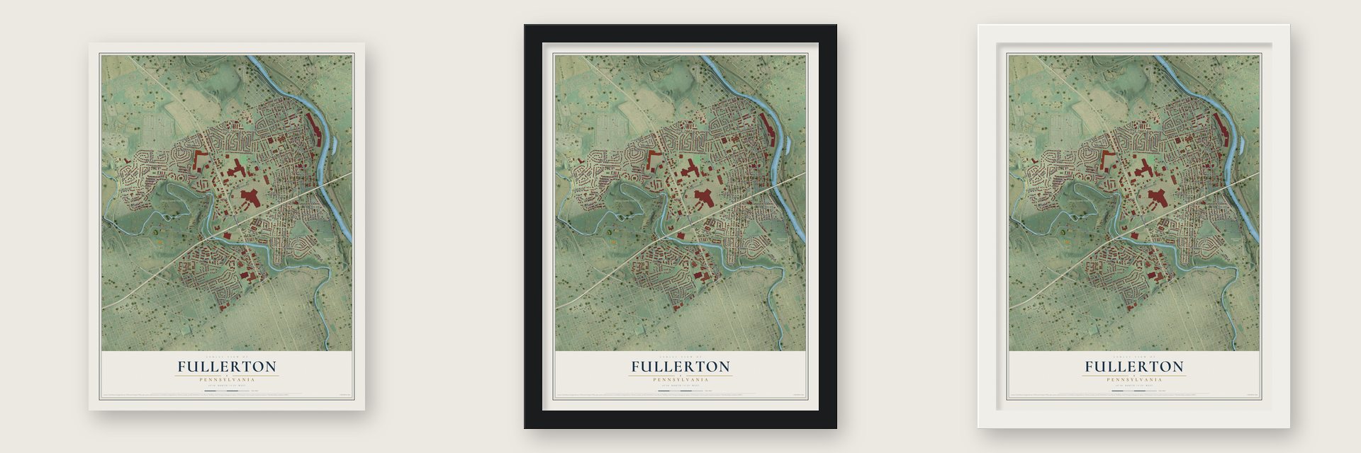
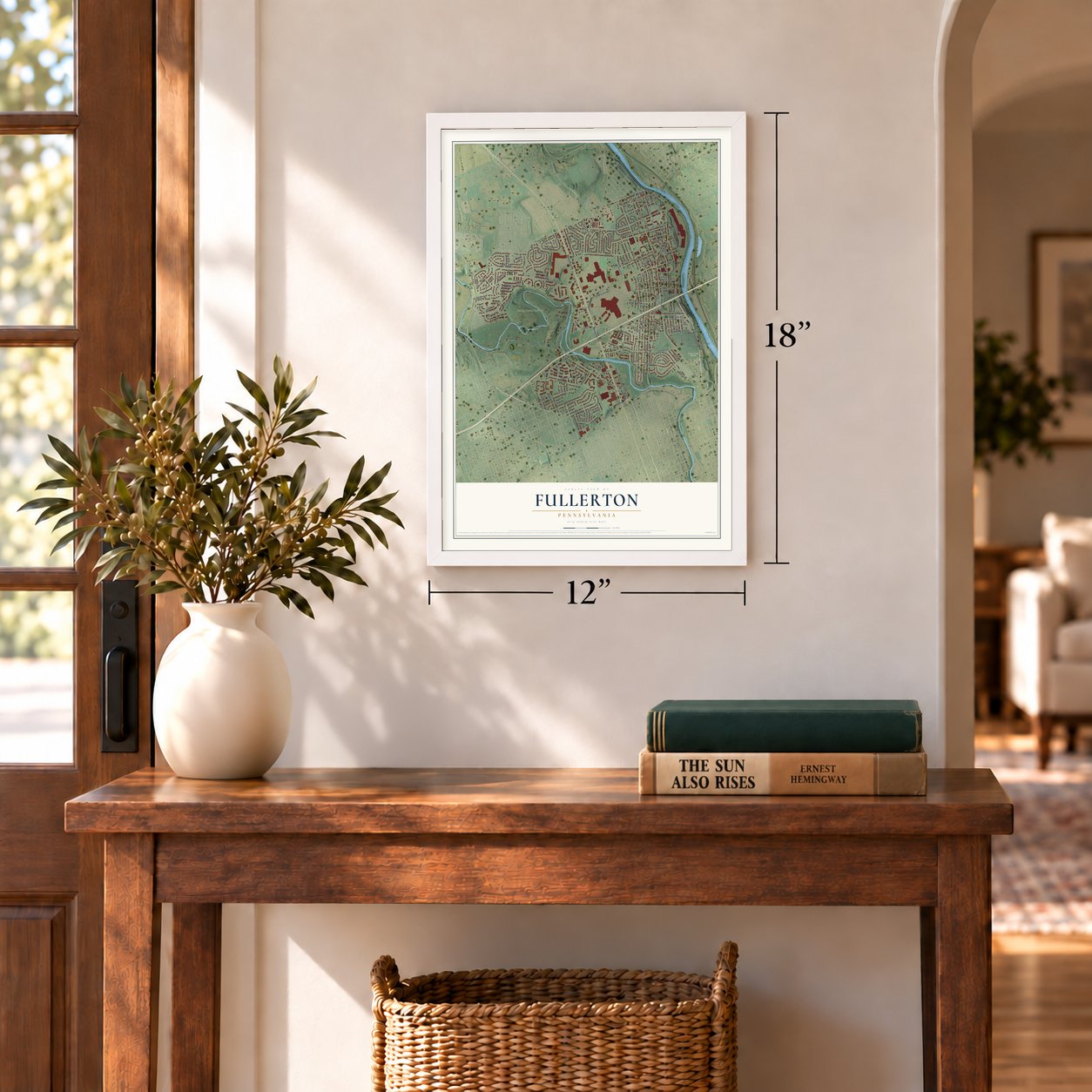
Unframed archival matte, a black wood frame or a white wood frame.
Up close
Geography Worth Displaying
This map was created using accurate cartographic data and authoritative geographic sources, including the U.S. Geological Survey and the Census Bureau. The map brings together terrain, waterways, roads, and building detail. The majority of the streets are labeled, houses are accurately depicted, and the topography is derived from government sources. Combining local data with carefully composed color and shading leads to this beautifully detailed Fullerton artwork for your wall.
Rather than simply showing street outlines, we’ve included as many of the street names as we could reasonably fit on the map while keeping their names legible. Zoom in on the high resolution preview to see exactly what’s on the map. We truly set out to create a statement piece for anyone who loves Fullerton. So whether it’s for you, or a gift for someone you love, we hope this map of Fullerton brings back fond memories.
Read the story behind this map of Fullerton, Pennsylvania from 2026.

Find your street
Names on the Fullerton map
Every name below is printed on this map. Look for your street, your school, the park where you played, or the pond down the road.
Places and landmarks5
- Jordan Creek Parkway
- Sacred Heart Cemetery
- West Catasauqua
- Juniper Circle
- Evergreen Park
Streets and roads188
- Macarthur Road
- Catasauqua Avenue
- Mickley Road
- Main Street
- Mickley Run
- Mickley Pike
- North 14th Street
- South Lehigh Avenue
- Pennsylvania Street
- Jordan Circle
- Fifth Street
- Schadt Avenue
- Fullerton Avenue
- Sixth Street
- Lehigh Valley Mall
- Presidential Drive
- Seventh Street
- Maple Street
- Grape Street
- Sumner Avenue
- Third Street
- Alpine Street
- Orchard Drive
- Fairmont Avenue
- Union Street
- Overlook Road
- Peachtree Circle
- Lehnert Road
- Lennert Road
- Second Street
Show all 188 streets
- Olympic Circle
- American Street
- Fourth Street
- Mauch Chunk Road
- Madison Lane
- Oakwood Drive
- Sunset Drive
- Front Street
- Jefferson Street
- Valleyview Lane
- Catasauqua Road
- Belleview Drive
- Linden Lane
- Congress Street
- Summit Street
- Spruce Street
- Jordan Drive
- Maryland Street
- Jordan Boulevard
- Fairmont Street
- Gallagher Road
- Florida Avenue
- Pershing Boulevard
- Alta Drive
- Highland Street
- Miller Lane
- Cherry Alley
- Washington Street
- North 13th Street
- Broad Street
- West Alley
- First Street
- Hampshire Drive
- Windsor Street
- Virginia Avenue
- North Eleventh Street
- Kimmett Avenue
- Miller Street
- Lewis Lane
- Michael Drive
- California Avenue
- New York Avenue
- South First Avenue
- Echo Drive
- North Sixth Street Extended
- Saint Paul Street
- Wint Lane
- Avery Lane
- Maryland Circle
- Ellsworth Drive
- Minnesota Drive
- Allison Street
- Mundy Lane
- Allen Street
- Georgia Drive
- Bridge Street
- Poplar Street
- Mulberry Alley
- Chestnut Street
- Crest Drive
- Midway Road
- Fernhill Lane
- Butternut Street
- Harding Circle
- Ohio Avenue
- Joseph Street
- Jordan Parkway
- Mickley Avenue
- Knossos Drive
- West Tyler Street
- Aspen Lane
- Eighth Street
- Basswood Lane
- Quarry Street
- Cherry Street
- Locust Alley
- Wood Street
- Fuller Street
- Woodside Alley
- Riverview Street
- Franklin Street
- Jackson Street
- Wolf Street
- Alberta Drive
- Elmwood Drive
- Sterner Street
- Ridge Avenue
- Forest Road
- Keystone Avenue
- Delphi Drive
- Park Street
- Creekside Road
- Calvert Street
- North Tenth Street
- Pine Street
- Lincoln Place
- Frances Circle
- 14th Street
- Crilly Street
- Somerset Road
- Estates Drive
- Maple Leaf Lane
- Woodbury Lane
- Vermont Street
- Middle Alley
- Neal Street
- Andrew Drive
- Brooke Court
- Pear Street
- Kay Drive
- South Apple Street
- Elmhurst Drive
- Currant Alley
- Harding Drive
- Robert Street
- Carolina Avenue
- Corinth Road
- South Alley
- Davies Drive
- Shiloh Court
- Hemlock Drive
- Marathon Drive
- Tremont Street
- Vine Lane
- Van Buren Drive
- Redwood Drive
- Albert Street
- Mallard Drive
- Belleview Circle
- Laurel Drive
- Ronald Drive
- Athens Drive
- Texas Street
- Clover Lane
- Fern Court
- Discus Circle
- Apple Street
- West Woodlawn Street
- East Street
- Delaware Lane
- Lincoln Avenue
- Olympic Drive
- Zorba Drive
- John Street
- Line Street
- Columbia Avenue
- Garden Lane
- Walnut Street
- Packer Avenue
- Dane Street
- North Ninth Street
- Union Alley
- Throne Alley
- Orchard Circle
- Melville Street
- Monroe Avenue
- Dawn Circle
- Cody Way
Names are listed as they appear on the printed map. Zoom into the product photos to find them.
About Fullerton, Pennsylvania
Fullerton is a community of 16,588 people in Whitehall Township, Lehigh County, on the Lehigh River across from Catasauqua. Its ground was first settled in separate tracts by Giles Windsor in 1767, Stephen Snyder in 1786 and Jacob Yundt in 1826, and the place was first known as Ferndale. James W. Fuller laid out the town in 1870 beside the railroad car wheel works he ran.
Fuller's firm, McKee, Fuller and Company, later called the Lehigh Car, Wheel and Axle Works, kept growing until it had 1,000 hands on the payroll. By 1883 the company town was home to more than 1,500 men and their families, and in 1895 it took the name Fullerton in his honor. When cement mills spread across the Lehigh Valley in the early 1900s, his company sold them machinery, and local workers filled his shops and the nearby mills and quarries.
- A church in an old barnDavid Thomas, who headed the Catasauqua Manufacturing Company, saw in the spring of 1871 that Ferndale, the upper part of the village, had nowhere to worship. His company helped him turn an old frame barn into a church, and it was dedicated on Sunday, June 11, 1871.
- Sunday school at Sterner'sBeginning in 1875, Fullerton families held the Jordan Union Sunday School in Sterner's, an old schoolhouse built of stone. They gathered there for years until they had a chapel of their own, which held its first services at Christmas in 1886.
- The iron master on the floorJames W. Fuller joined the Union army at eighteen as a member of Company I, 47th Pennsylvania Infantry. In 1868 he came back to Catasauqua and organized McKee, Fuller and Company. He went to the works every day, watched over the mixing of iron for casting the wheels himself, and walked through the shops checking on his men, whose welfare mattered to him.
Keep exploring Pennsylvania
Fullerton is one of 3,725 Pennsylvania towns we've mapped. Every dot on the map is a print of its own.
The search covers every state, Pennsylvania first.
Near Fullerton
Order 2 or more town maps and save 10%. Shown in the size and finish you picked above, so they hang as a set.
- Catasauqua 12" x 18" / Archival Matte Print $39.99
- Hokendauqua 12" x 18" / Archival Matte Print $39.99
- Whitehall 12" x 18" / Archival Matte Print $39.99


More maps nearby: North Catasauqua, Hanover, Allentown, Stiles and Coplay.
The art of mapping a place
How This Map Was Made
Real places. Remarkable detail. Discover the layers that turn geographic data into a map of home.

The view from above
Aerial imagery reveals the character of the land: woodland, open fields, and the patterns of a place.

The shape of the land
Elevation data brings hills, valleys, and subtle changes in the landscape into view.

The details of home
Roads, waterways, and building footprints come together to make the map feel unmistakably local.

Geography becomes art
Considered color, shading, and typography bring the layers together in a map made for your wall.


Process illustrated with Mendon, Massachusetts. Aerial imagery: USDA NAIP. Terrain: USGS 3D Elevation Program. Map details and finished artwork: KNOWOL.
The Details
About This Print
Choose an archival matte print, or a black or white Ayous wood frame. The archival matte print is unframed.
Select your size and finish above to see the matching product image and price.
Materials & Craftsmanship
A contemporary map with the character of a classic atlas, printed on archival matte paper. Optional frames are made from Ayous wood.
Your printed map does not include the watermark shown in the full-map preview.
Shipping & Delivery
Free shipping within the United States. Every print is made to order in the USA.
Buying a gift? Add a note in your cart and we'll include it. We never put prices in the package.
Prints ship within 2 to 3 business days. Allow 7 to 10 days total from ordering for delivery. Timing may vary during holidays or periods of high order volume.
Read our shipping policy.
Returns and damaged prints
Each print is made to order. Change-of-mind refunds are not available after production.
If your print arrives damaged, misprinted or incorrect, contact support@knowol.com within 30 days of receiving it. Include your order number, photos and a description of the issue.
Read our full refund and replacement policy. For questions about your order, email support@knowol.com.