
Search for another town




Free U.S. delivery 7 to 10 days after you order
Centennial, Colorado Map Art
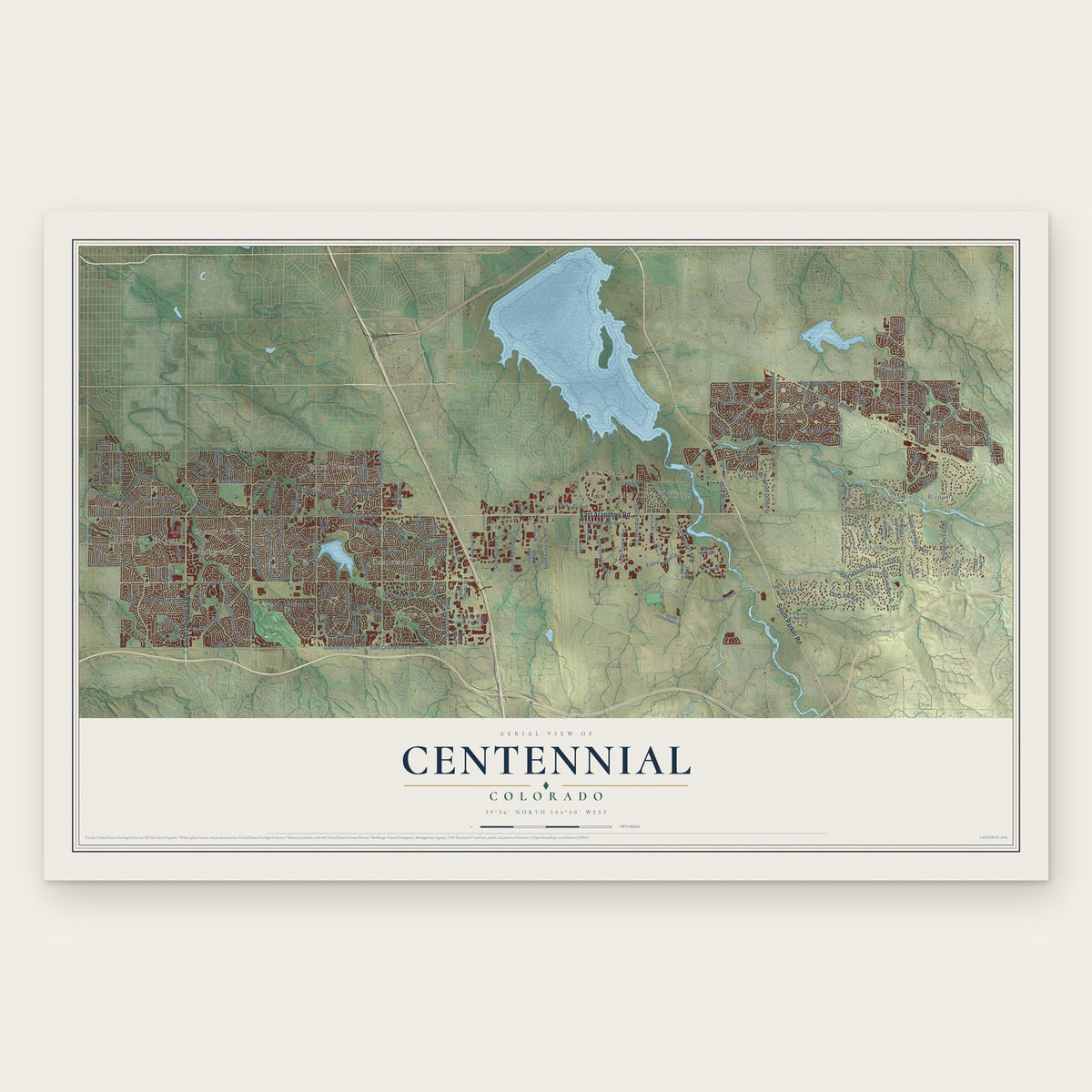
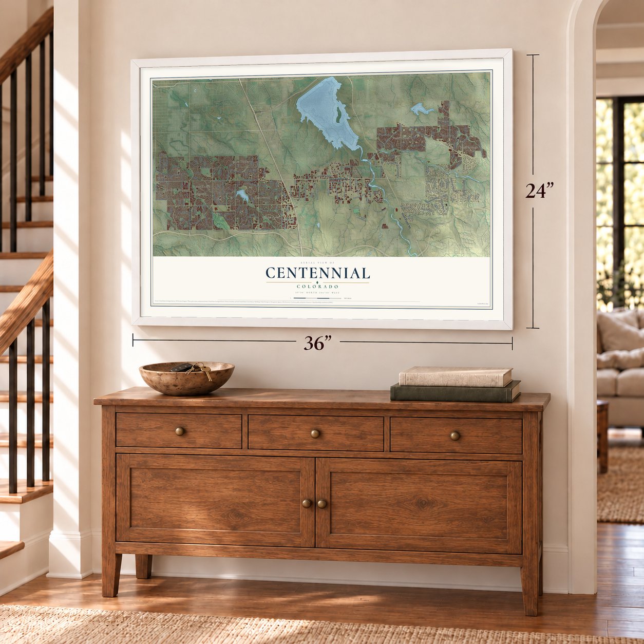
A new map of Centennial, Colorado, made in 2026 and printed to order on thick archival matte paper.
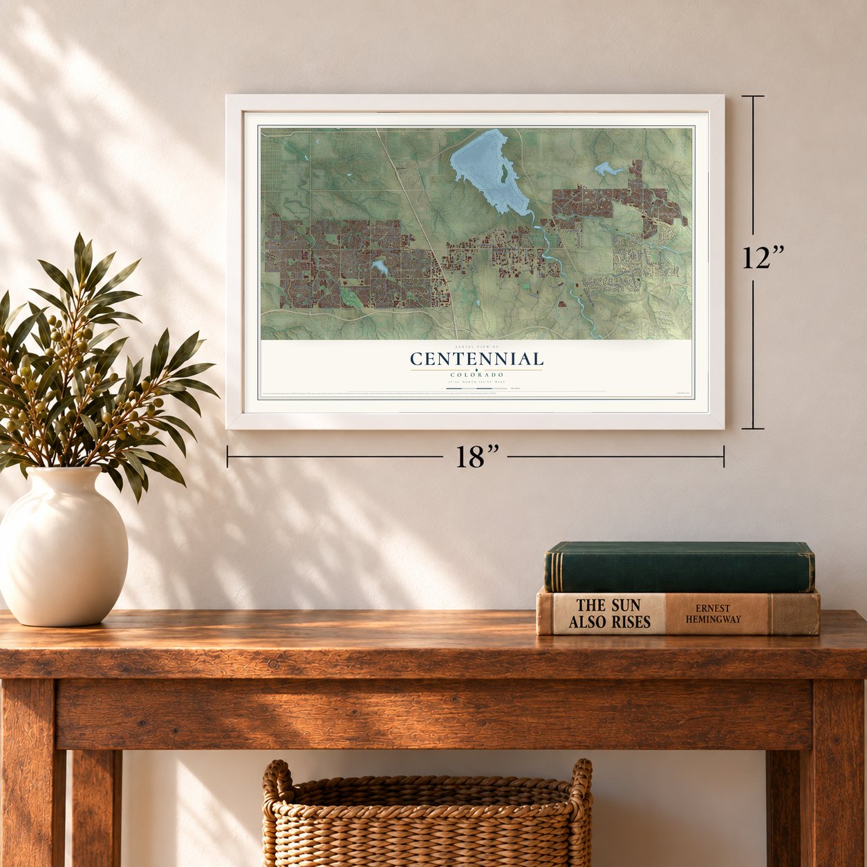
12" x 18" Archival Matte Print
A Map of Home. A Work of Art.
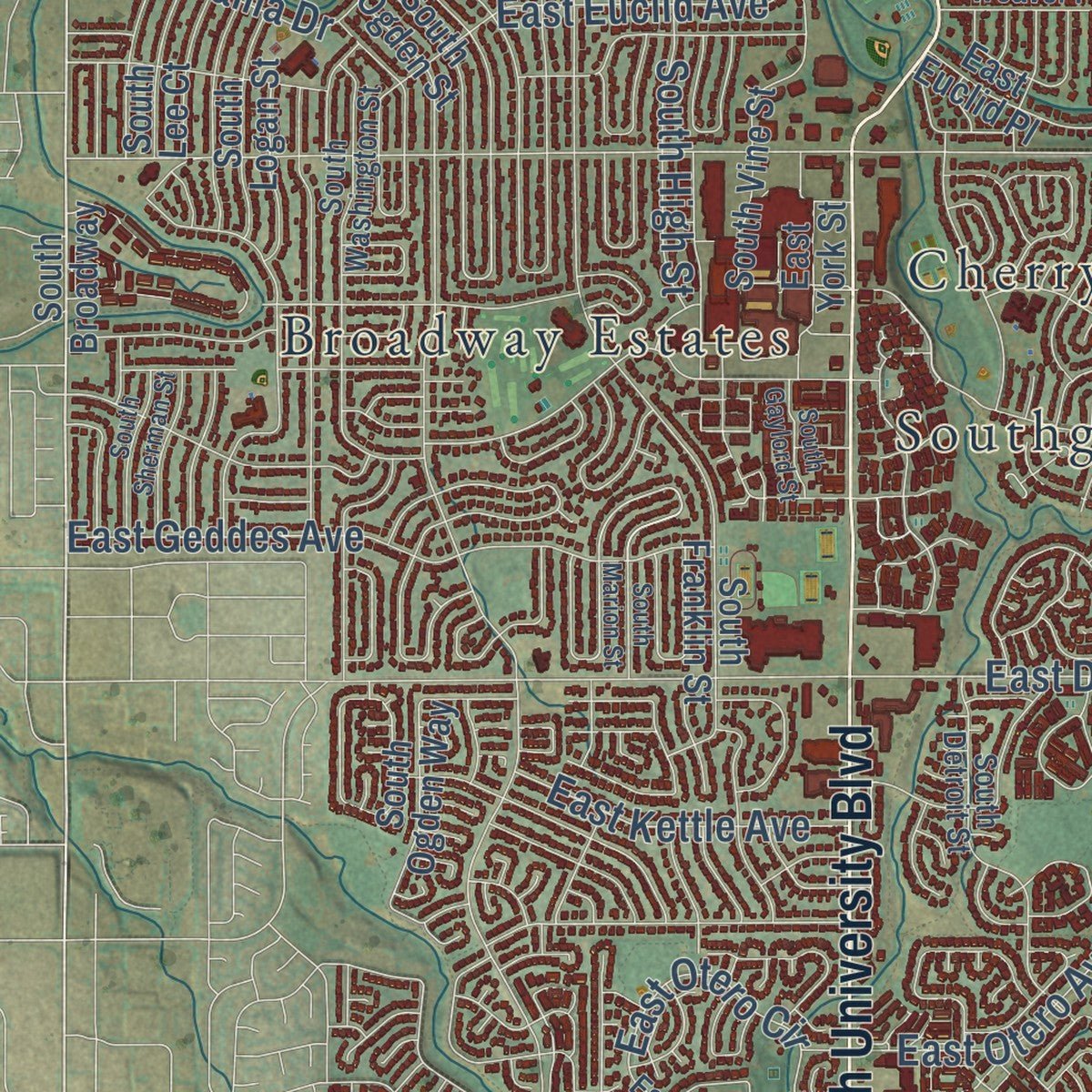
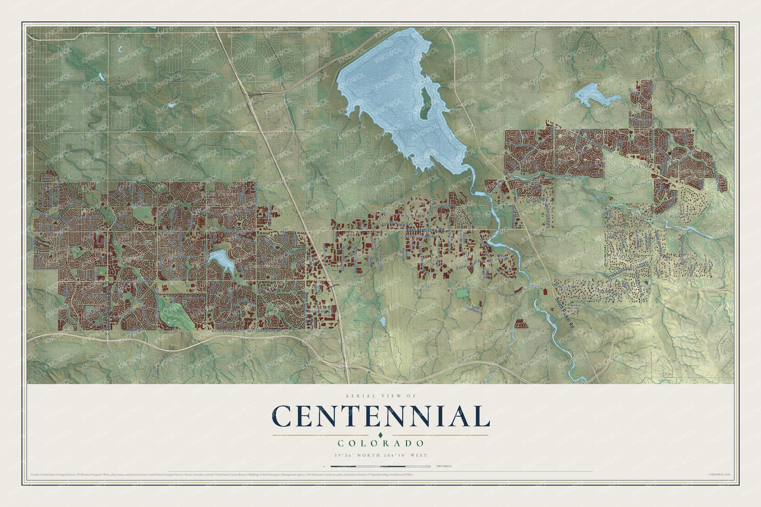
Explore Centennial, Colorado from a whole new perspective. Created using aerial imagery and detailed geographic data, this map captures Centennial building by building, with labeled streets, familiar landmarks, and shaded topographical relief that highlights the natural contours of the landscape.
Combining modern data with the timeless character of a vintage atlas, this map is just as interesting up close as it is beautiful on the wall. Whether you grew up in Centennial, spent memorable years there, or call it home today, this unique map is a great way to celebrate a place that means something to you. Zoom in on the preview to look for your street, and then order a print to put your memories on the wall.
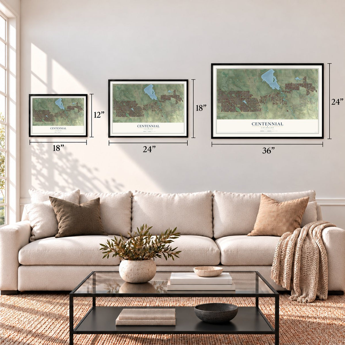
Three ways to hang it
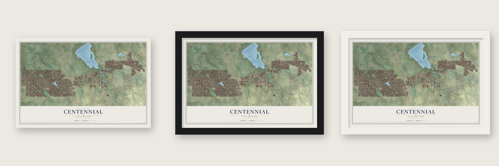
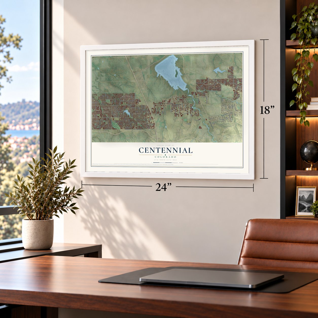
Unframed archival matte, a black wood frame or a white wood frame.
Up close
Geography Worth Displaying
This map was created using accurate cartographic data and authoritative geographic sources, including the U.S. Geological Survey and the Census Bureau. The map brings together terrain, waterways, roads, and building detail. The majority of the streets are labeled, houses are accurately depicted, and the topography is derived from government sources. Combining local data with carefully composed color and shading leads to this beautifully detailed Centennial artwork for your wall.
Rather than simply showing street outlines, we’ve included as many of the street names as we could reasonably fit on the map while keeping their names legible. Zoom in on the high resolution preview to see exactly what’s on the map. We truly set out to create a statement piece for anyone who loves Centennial. So whether it’s for you, or a gift for someone you love, we hope this map of Centennial brings back fond memories.
Read the story behind this map of Centennial, Colorado from 2026.

About Centennial, Colorado
Centennial is a city of 108,418 people in Arapahoe County, the 11th most populous municipality in Colorado. Before it became a city, this ground was unincorporated county land that included the Castlewood and Southglenn census areas. Taxes paid by businesses there covered most of Arapahoe County's services, including road work, and Greenwood Village kept annexing parts of it to grow its own tax base.
Residents answered by forming a city of their own. On September 12, 2000, 77% of voters approved incorporation and chose the name Centennial in the same vote, and the city became official on February 7, 2001. With more than 100,000 people, it was the largest incorporation in U.S. history at the time. Court cases later settled that the right to incorporate takes precedence over the right to annex, and in 2008 voters made Centennial a home rule city by roughly 2-to-1.
“Mayor Randy Pye was first to take his oath of office at the Arapahoe County Justice Center, and within minutes convened Centennial's first City Council meeting amid flashing cameras.”
- Named for the Centennial StateColorado entered the Union in 1876 as the 38th state, one hundred years after the Declaration of Independence, which earned it the nickname the Centennial State. The voters who created the city in 2000 picked that name for it.
- An airport older than the cityCentennial Airport, once called the Arapahoe County Airport, sits next to the city on unincorporated county land. It wasn't named for the city at all: the airport was there more than 30 years before Centennial existed.
- Colorado's first IKEAIn 2008 IKEA picked Centennial for its first store in Colorado. The store opened on July 27, 2011, as the second-largest IKEA in the United States, and the city named it its Project of the Year in 2011.
- Home of Gamma Phi BetaGamma Phi Beta, the first women's organization to call itself a sorority, keeps its international headquarters in Centennial. The National Cattlemen's Beef Association and Arrow Electronics, the largest company headquartered in Colorado, are based in the city as well.
Find your street
Names on the Centennial map
Every name below is printed on this map. Look for your street, your school, the park where you played, or the pond down the road.
Places and landmarks14
- City of Centennial City Offices
- Parkborough
- Park View
- Broadway Estates
- Castlewood
- Chapparal
- Cherry Knolls
- Dove Valley
- Palos Verdes
- Piney Creek
- Piney Creek Ranches
- Southfield Park
Show all 14 places
- Southglenn
- Willow Creek
Streets and roads176
- South Parker Road
- East Arapahoe Road
- South University Boulevard
- East Smoky Hill Road
- East Easter Avenue
- East County Line Road
- East Otero Avenue
- East Dry Creek Road
- East Orchard Road
- East Caley Avenue
- County Line Road
- East Geddes Avenue
- East Peakview Avenue
- East Briarwood Avenue
- East Long Avenue
- East Costilla Avenue
- South Colorado Boulevard
- South Clarkson Street
- South Jordan Road
- South Quebec Street
- South Holly Street
- East Otero Circle
- East Euclid Avenue
- East Belleview Place
- East Fremont Avenue
- South Potomac Street
- East Fair Avenue
- East Mineral Avenue
- South Yosemite Street
- East Hinsdale Avenue
Show all 176 streets
- East Dorado Avenue
- East Kettle Avenue
- East Panama Drive
- East Davies Avenue
- East Fair Place
- South Liverpool Street
- East Crestline Avenue
- South Himalaya Way
- South Dexter Street
- East Weaver Avenue
- South Revere Parkway
- South Himalaya Street
- East Berry Drive
- South Lima Street
- South Albion Street
- South Grant Street
- South Havana Street
- South Riviera Way
- South Olathe Street
- South High Street
- South Monroe Way
- South Fulton Street
- 6700 South
- South Broadway
- South Genoa Street
- South Picadilly Street
- East Heritage Place North
- South Franklin Street
- East Broncos Parkway
- East Jamison Avenue
- East Easter Place
- South Steele Street
- East Hinsdale Place
- East Caley Drive
- South Pennsylvania Street
- South Vine Street
- South Flanders Street
- East Mineral Circle
- East Lake Avenue
- East Nichols Avenue
- East Lake Drive
- South Tower Road
- South Peoria Street
- South Helena Street
- South Buckley Road
- South Logan Street
- East Powers Drive
- South Ivy Way
- South Chester Street
- East Phillips Avenue
- South Monaco Street
- East Lake Circle
- South Gibraltar Street
- East Jamison Drive
- South Fraser Street
- South Jebel Way
- South Tucson Way
- South Atchison Street
- South Ogden Way
- South Cook Street
- South Alton Way
- South Waco Street
- South Eagle Street
- South Uinta Street
- East Euclid Place
- South Nepal Way
- South Clinton Street
- South Newport Way
- South Willow Street
- South Fairfax Way
- East Links Parkway
- South Clermont Court
- South Syracuse Way
- South Reservoir Road
- South Joliet Street
- East Links Circle
- South Chambers Street
- East Costilla Boulevard
- South Jersey Street
- South Newport Street
- South Ogden Street
- South Akron Street
- South Lee Court
- East York Street
- South Cathay Court
- South Andes Place
- East Geddes Place
- East Weaver Place
- South Detroit Street
- East Fremont Drive
- South Espana Way
- South Jasper Way
- South Washington Street
- East Phillips Drive
- East Dorado Drive
- South Jericho Street
- South Clermont Drive
- East Phillips Circle
- South Odessa Circle
- South Kenton Street
- South Kirk Street
- South Albion Way
- South Willow Way
- South Marion Way
- South Locust Way
- South Dayton Street
- South Mobile Street
- South Clermont Street
- South Espana Court
- East Fair Drive
- South Memphis Way
- East Ida Drive
- South Halifax Street
- East Davies Circle
- South Perth Street
- East Mineral Drive
- East Maplewood Avenue
- East Mineral Place
- East Briarwood Drive
- East Costilla Place
- South Cook Way
- South Telluride Street
- South Ireland Way
- East Crestline Circle
- South Tamarac Street
- South Spruce Street
- South Niagara Way
- East Progress Drive
- South Lisbon Way
- South Blackhawk Street
- East Hinsdale Drive
- South Sherman Street
- South Xanthia Street
- South Marion Street
- South Logan Court
- South Ivy Street
- South Laredo Street
- South Eudora Court
- East Davies Drive
- South Quentin Street
- South Gaylord Street
- South Kirk Circle
- South Emporia Street
- South Ironton Street
- East Ida Place
- South Dunkirk Street
Names are listed as they appear on the printed map. Zoom into the product photos to find them.
The art of mapping a place
How This Map Was Made
Real places. Remarkable detail. Discover the layers that turn geographic data into a map of home.

The view from above
Aerial imagery reveals the character of the land: woodland, open fields, and the patterns of a place.

The shape of the land
Elevation data brings hills, valleys, and subtle changes in the landscape into view.

The details of home
Roads, waterways, and building footprints come together to make the map feel unmistakably local.

Geography becomes art
Considered color, shading, and typography bring the layers together in a map made for your wall.


Process illustrated with Mendon, Massachusetts. Aerial imagery: USDA NAIP. Terrain: USGS 3D Elevation Program. Map details and finished artwork: KNOWOL.
The Details
About This Print
Choose an archival matte print, or a black or white Ayous wood frame. The archival matte print is unframed.
Select your size and finish above to see the matching product image and price.
Materials & Craftsmanship
A contemporary map with the character of a classic atlas, printed on archival matte paper. Optional frames are made from Ayous wood.
Your printed map does not include the watermark shown in the full-map preview.
Shipping & Delivery
Free shipping within the United States. Every print is made to order in the USA.
Buying a gift? Add a note in your cart and we'll include it. We never put prices in the package.
Prints ship within 2 to 3 business days. Allow 7 to 10 days total from ordering for delivery. Timing may vary during holidays or periods of high order volume.
Read our shipping policy.
Returns and damaged prints
Each print is made to order. Change-of-mind refunds are not available after production.
If your print arrives damaged, misprinted or incorrect, contact support@knowol.com within 30 days of receiving it. Include your order number, photos and a description of the issue.
Read our full refund and replacement policy. For questions about your order, email support@knowol.com.
Find your town
Looking for another city?
Find a map of home in our Colorado collection, or any town in the country.
Nearby
Maps of towns near Centennial
Know someone from one of these towns? Their map makes a great gift.
 Inverness
, Colorado
From $39.99See the map
 Cherry Creek
, Colorado
From $39.99See the map
 Dove Valley
, Colorado
From $39.99See the map
More maps nearby: Acres Green, Greenwood Village, Meridian, Grand View Estates and Foxfield.